Burbage Edge and Errwood Reservoir Walk | 7.5 Miles
A circular walk exploring the moorland of Wild Moor in the Goyt Valley, visiting Burbage Edge trig point and Errwood Reservoir as well as the disused Cromford & High Peak Railway line.
Key Landmarks on the Route:
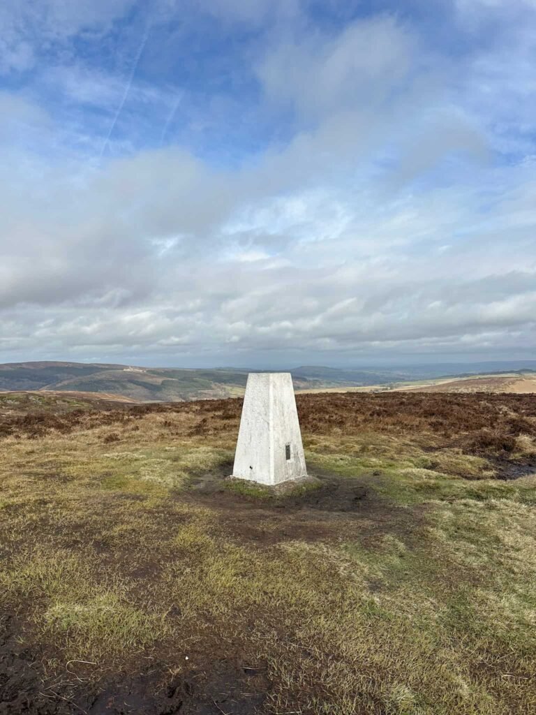
- Burbage Edge trig point
- Disused railway tunnel
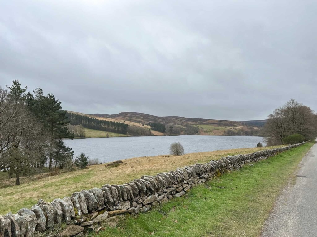
- Errwood Reservoir
- Woodland trail
Burbage Edge and Errwood Reservoir Walk Details
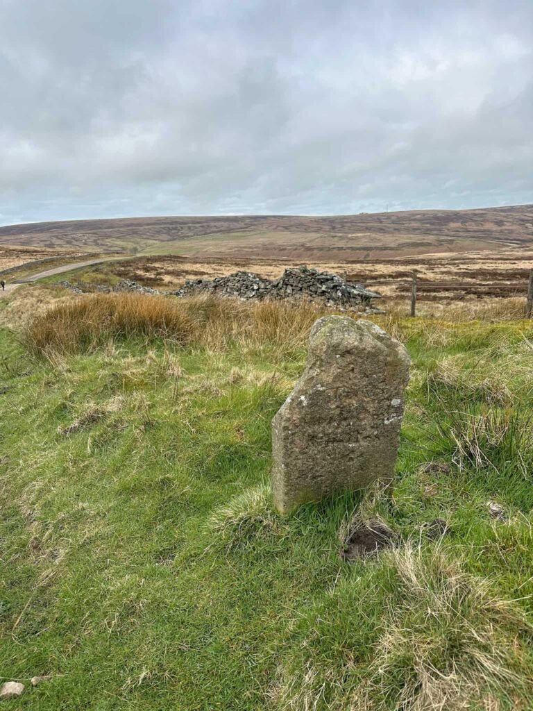
This walk starts from Derbyshire Bridge and heads up the rough, stony track. We passed a milestone, sadly badly eroded now, and around 100m after this we left the track via a footpath to the left, via the wooden gate.
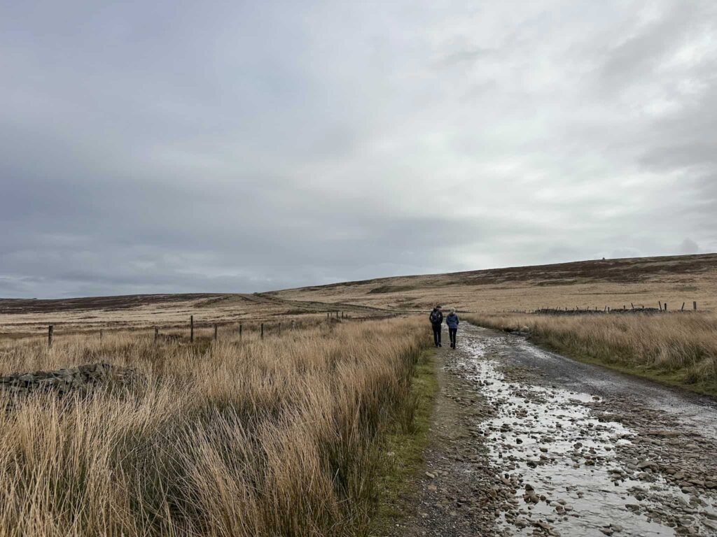
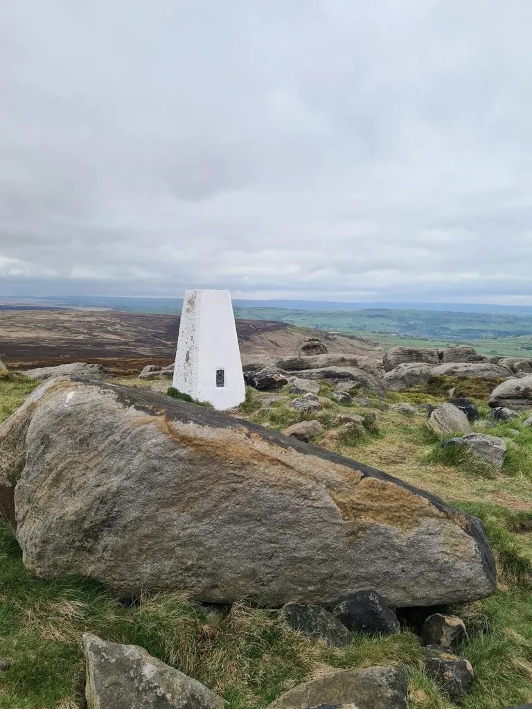
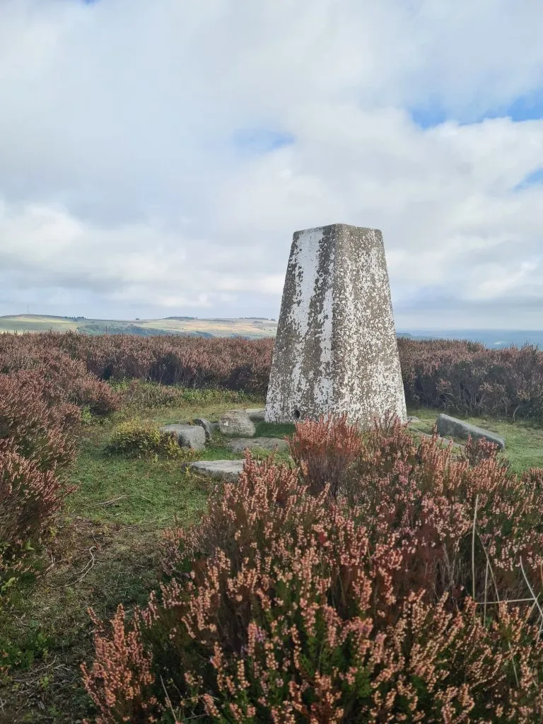
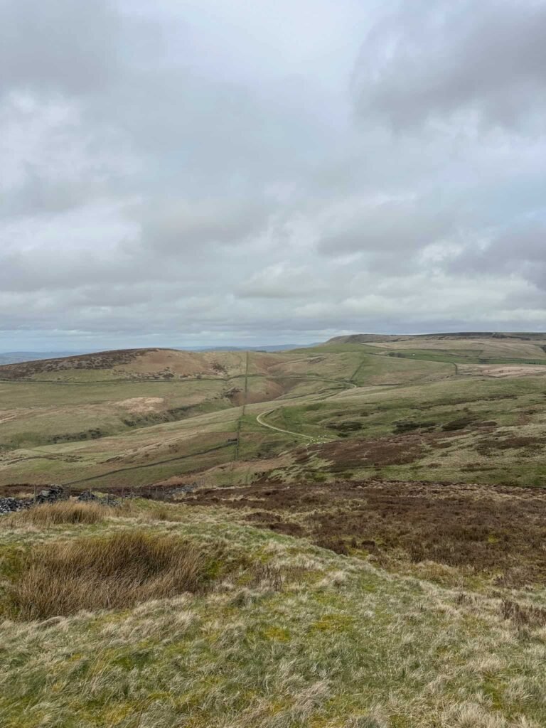
The route heads north to a path junction, and we then picked up the right hand path to head over to Burbage Edge. We followed the path alongside the wall to the Burbage Edge trig point at 500m above sea level.
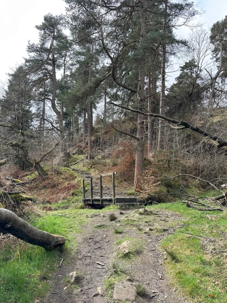
Photos taken (and snack eaten) we set off past the trig, continuing along the line of the wall. The path starts to descend and there’s a wooden gate on the right. We went through here and followed a faint path over the moor, passing a broken down wall as the path runs down to meet the flat ground of the disused railway line.
The railway line was owned by the Cromford and High Peak Railway who constructed a 33-mile route connecting the canals in Cromford and Whaley Bridge. The line opened in 1831, but this section through the tunnel into the Goyt Valley closed in 1892 after an easier route was constructed through Buxton.
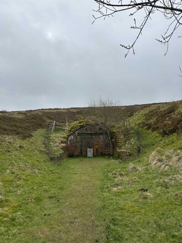
The tunnel is sealed at both ends, and the track long since removed.
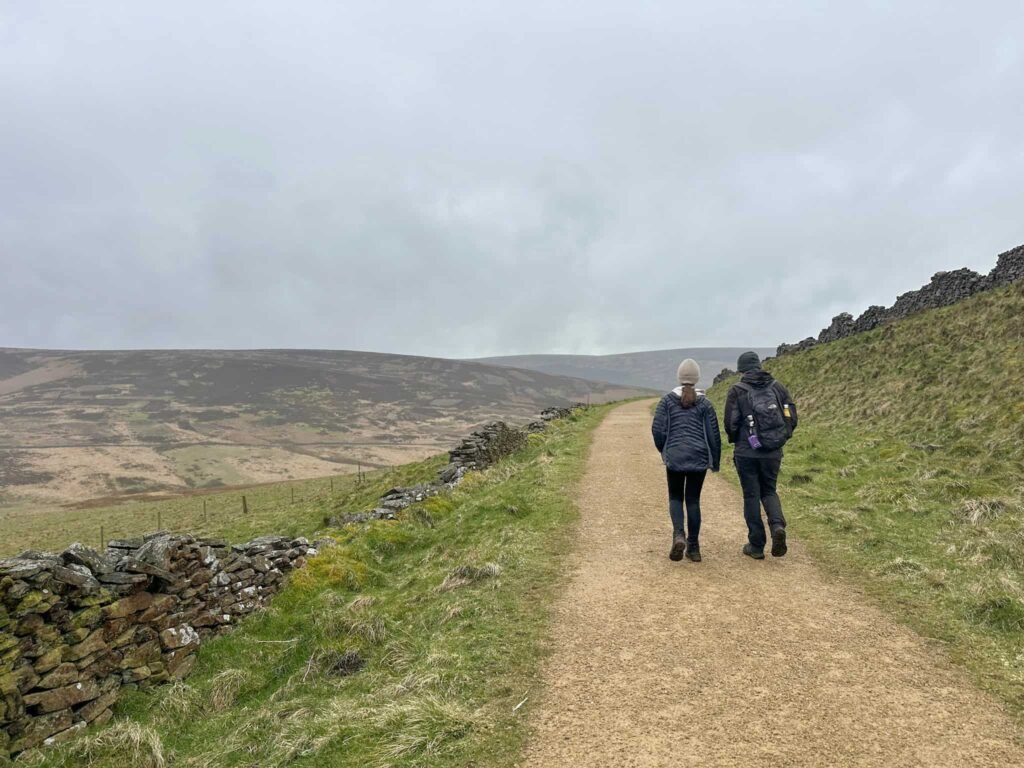
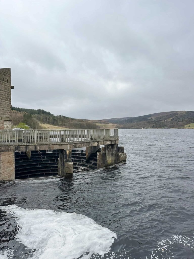
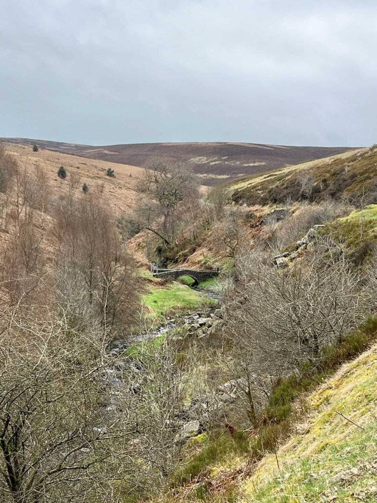
We followed the former railway line, passing a pond, and then joined the road to walk downhill (on what was the Bunsal Incline) to the dam between Errwood and Fernilee Reservoirs. Crossing the dam we climbed up the short hill and then followed the road running alongside Errwood Reservoir.
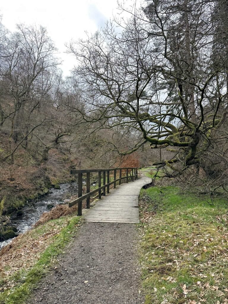
We left the road to follow the riverside trail which runs alongside Goyt Clough before rejoining the road near a car park at Goytsclough Quarry.
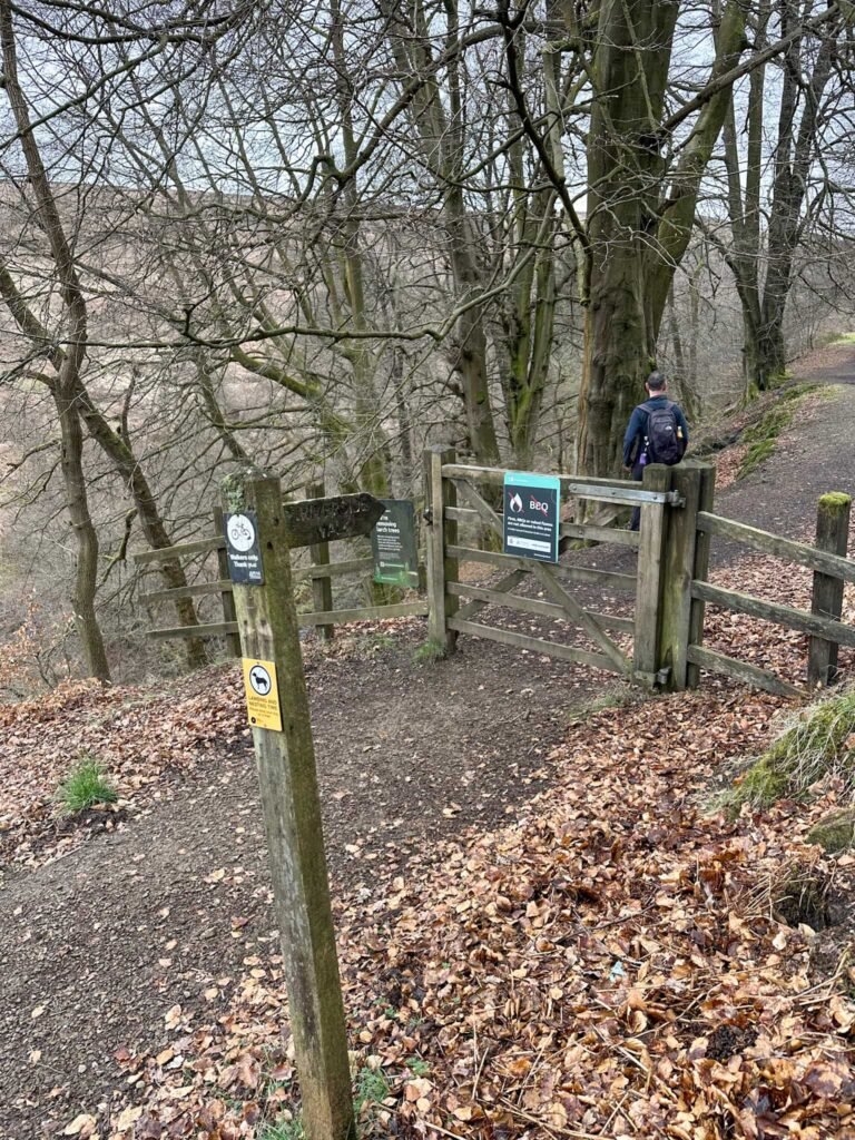
Just after the quarry we left the road for a short distance again, and followed a footpath running alongside the road instead (I’m not a fan of road walking!) back to the car park.
We went for lunch at Park View Tea Rooms a short drive away.

Walk Map (Opens in OS Maps): Burbage Edge and Errwood Reservoir Walk
Parking: Derbyshire Bridge car park, A537, Buxton W3W:///exotic.bells.hinders – free (as of April 2026).
Facilities: None. Please take any rubbish away with you.
Dogs: Allowed but on short leads during nesting season and around livestock.
Walk Time: 3-4 hours
Difficulty: ▲▲
Distance: 7.6 miles (12km)
Trig Points Bagged: Burbage Edge
Peak District Peaks Bagged: Burbage Edge
Peak District Ethels Bagged: Burbage Edge