Ecton Hill, Revidge and Wetton Hill Walk | 9 Miles
Last week was half term so we managed to fit in a few good long walks and tick off a few more peaks on the Peak District Ethels list. This 8.5 mile walk around the beautiful Staffordshire countryside takes in Revidge Trig Point, Ecton Hill Trig Point and Wetton Hill. Here’s the route for this Peak District walk near the Manifold Valley.

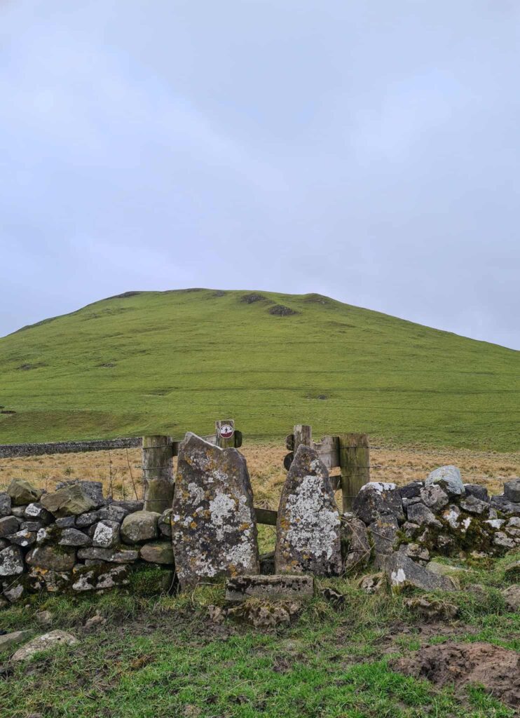
Revidge is a hill to the north-west of Warslow village, the summit of which is marked by a trig point and the remains of a dragon shaped cairn. At 400m high the hill has amazing views on a clear day of the surrounding countryside – as always, when we went, it was a bit grey and misty!
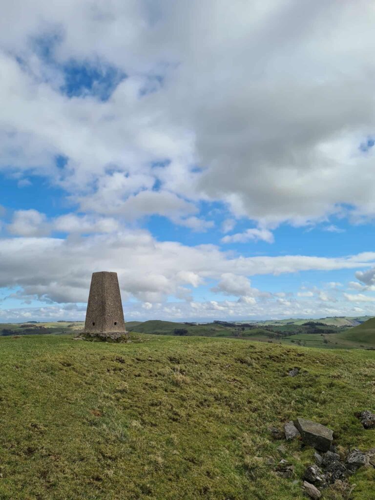
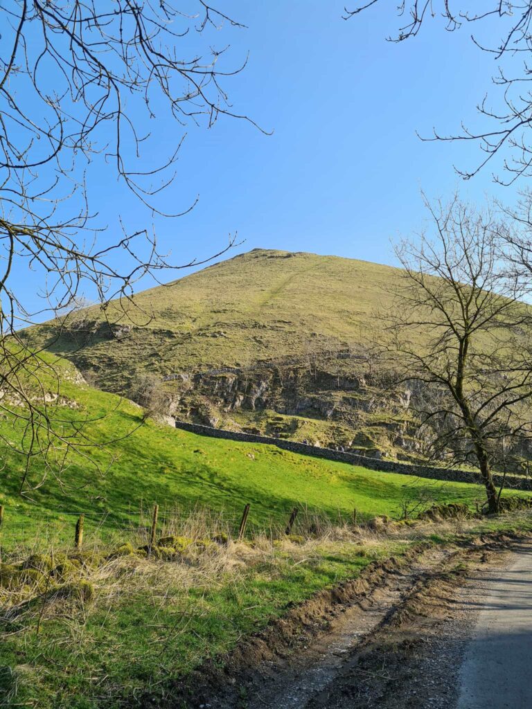
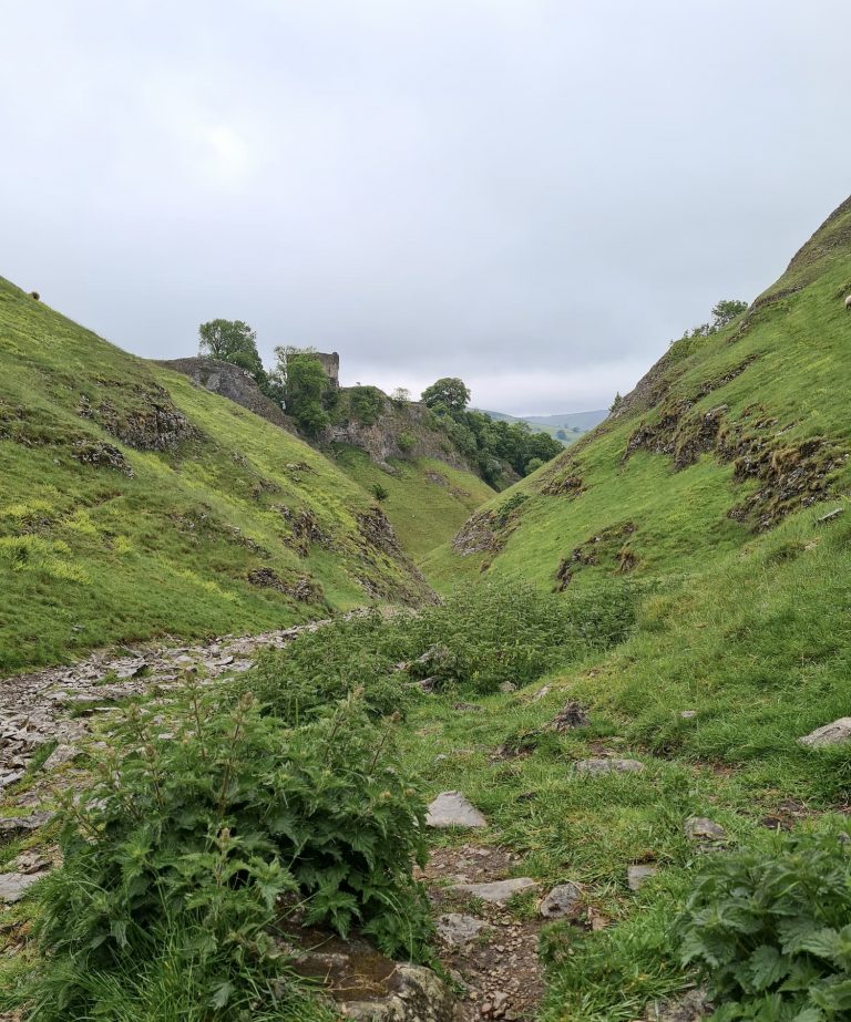
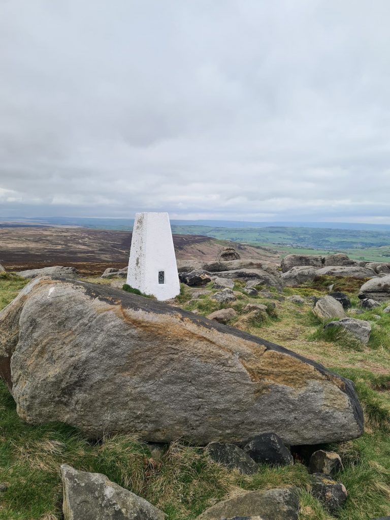
Ecton Hill is the next hill to climb. This is the site of a former copper mine owned by the Duke of Devonshire, at one time said to have been the richest individual copper mine in England. The remains of the mine shafts, engine house and gunpowder shed can all still be seen on the site today. It’s a really interesting place! The summit of Ecton Hill has a trig point and is 369m above sea level.
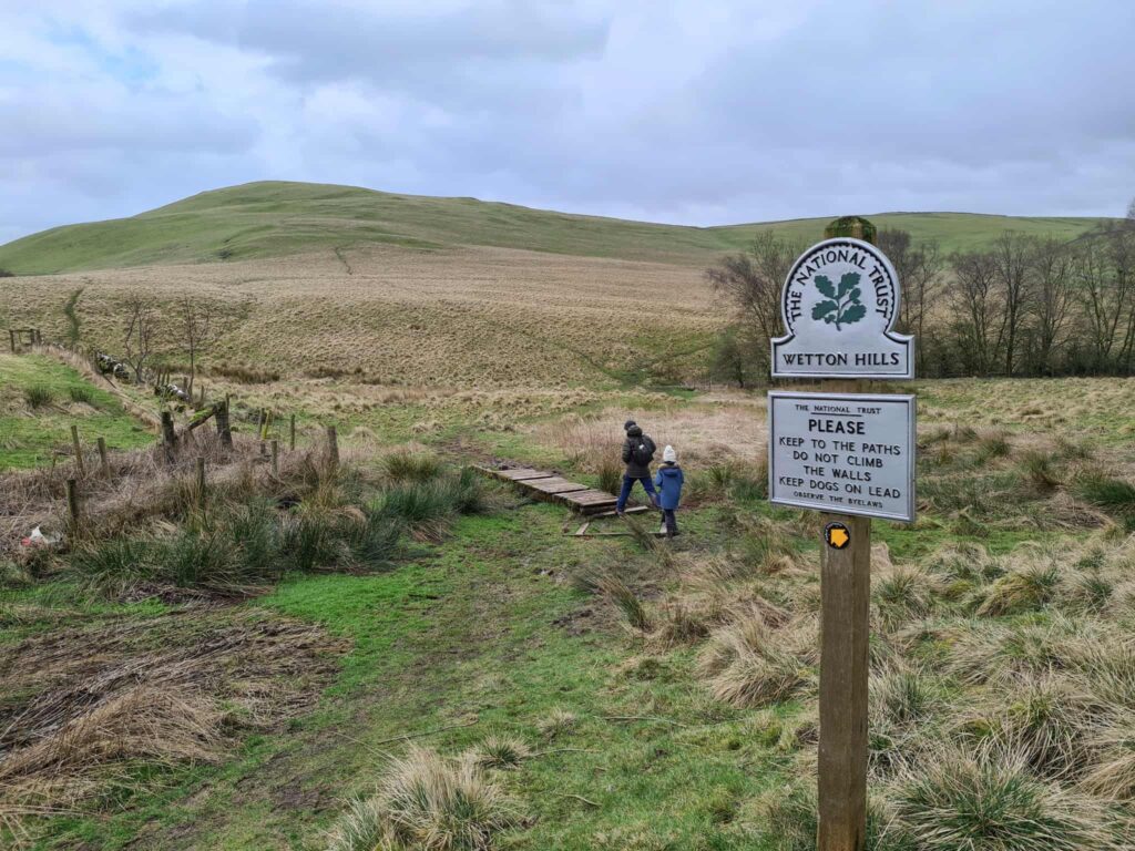
Wetton Hill has two peaks about half a mile apart, each having an ancient bowl barrow on the top. The peak is 371m above sea level and has commanding views over the nearby village of Wetton and the Manifold Valley.
Our walk starts in Hulme End at The Tea Junction where there is ample parking, toilet facilities and a tea rooms. This is also the start of the Manifold Trail, an 8 mile mostly traffic free trail that runs through the Manifold Valley near to the famous Thor’s Cave.
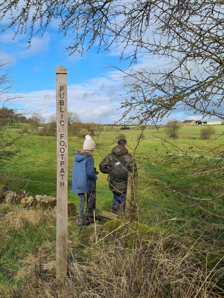
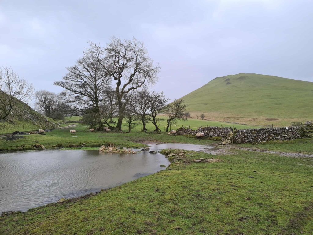
We set off up the road and headed into the fields using the public footpath. Following the footpaths over the fields, we came to a farm. The route of the footpath isn’t clear here, but there is a stile in the hawthorn hedge. The friendly farmer very kindly showed us where it was while he was busy in his tractor!
Over the stile and crossing the fields in front of the beautiful Warslow Hall, then out onto Buxton Road. We crossed the road and walked up the track, turning off onto the footpath just before entering the farmyard.

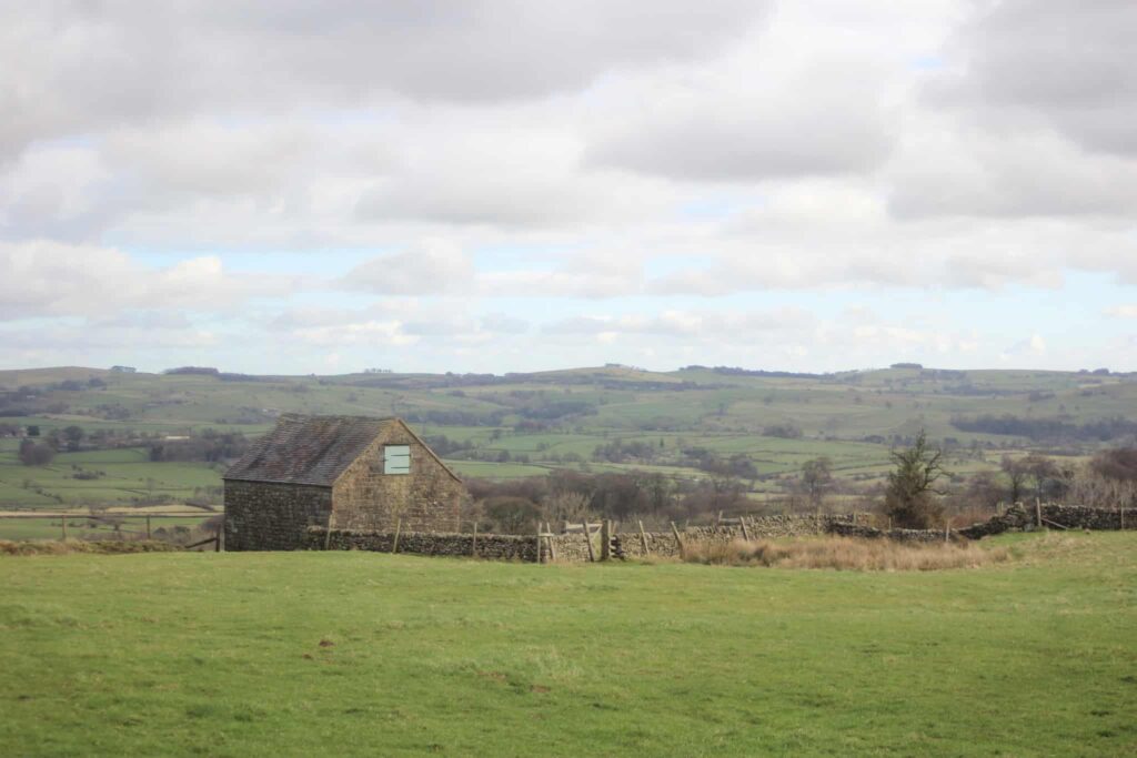
There are more footpaths and stiles to go, including passing the ruins of a lovely old barn, then we walked through the woods to Revidge trig point.
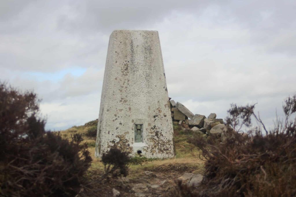

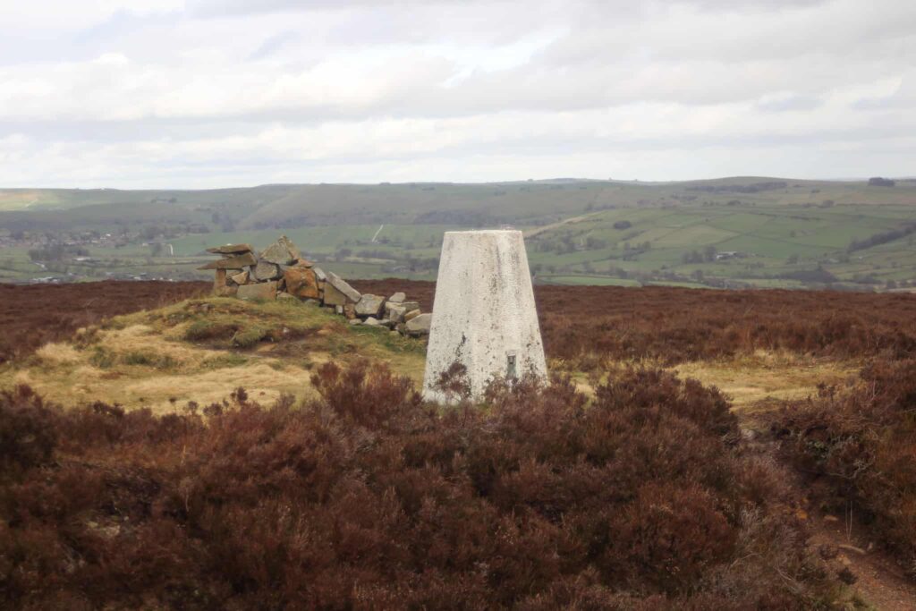
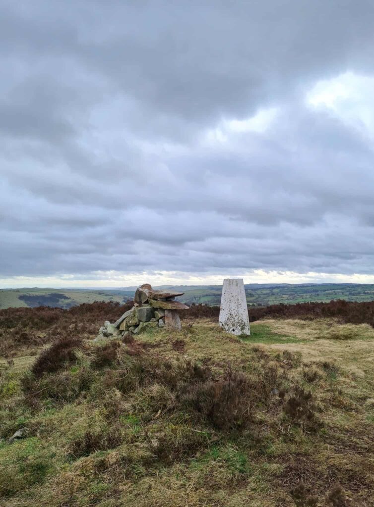
Revidge trig point has the remains of a cairn shaped a bit like a dragon next to it. The dragon looks to have seen better days unfortunately – his eyes are missing and it isn’t exactly obvious what he is any more, the poor thing!
After Revidge trig point we set off over the fields again through the lovely village of Warslow. There is a pub here, The Greyhound, but it was closed when we passed by. At the road junction, we turned left and walked for a short distance to find the stile and footpath through the fields down to the River Manifold.

The footpath then takes you up the hill, past the beautiful medieval style house with a turret, and then into the woods at the bottom of Ecton Hill. We passed the old gunpowder store and climbed up the hill to where the former engine house still stands, then carried on to Ecton Hill trig point on the top of the hill. It was really windy when we got there, but the views over the Manifold Valley are amazing.


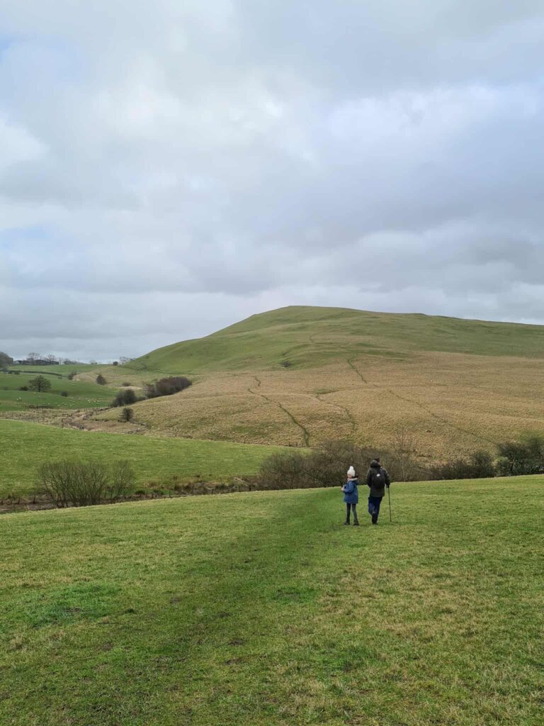
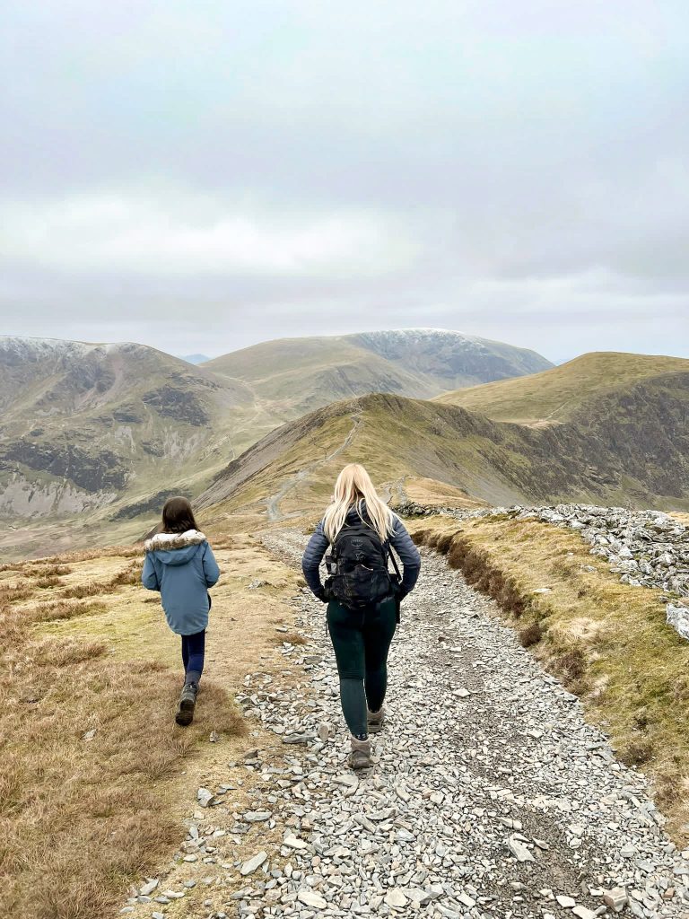
We carried on through the fields towards Wetton Hill, our third and toughest climb of the day. We were all tired by this time! There isn’t much to see at the summit of Wetton Hill, but the views are amazing.
We walked down the steep side of Wetton Hill and through some very muddy fields back out onto the road, then followed the road back to Hulme End and the car park.
I’m including this Ecton Hill walk in my Peak District walks with kids section, although it all depends on how far your kids will walk! You could just not do this walk and walk on the Manifold Way to Thor’s Cave instead, which is definitely suitable for little legs.
Parking: The Tea Junction, Holme End DE6 2AG
Facilities: Plenty at The Tea Junction.
Walk Time: 4 hours
Difficulty: ▲▲▲
Distance: 8.5 miles (14km)
Trig Points Bagged: Revidge, Ecton Hill
Peak District Peaks Bagged: Revidge, Ecton Hill, Wetton Hill
Peak District Ethels Bagged: Revidge, Ecton Hill, Wetton Hill
Route Map:
You might also like:

Thanks for this route – I did it yesterday to tick off the three Ethels.
Just a note though – Wetton Mill tea rooms are not on this route, as I found out when I parked there and found myself a couple of miles from where I needed to be! The start point on your route is The Tea Junction at the Manifold Trail Visitor Centre on the B5054. Wetton Mill Tea rooms are further south down the valley. It’s a nice walk along the trail from Wetton Mill to pick up your route though!
Thanks again for your routes though – very helpful in sorting out how to get the Ethels done!
Thanks so much for the correction Chris! I’ll change this now. Glad you had a good walk and enjoy the rest of the Ethels!