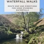
17 Amazing Peak District Waterfall Walks
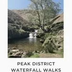
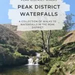
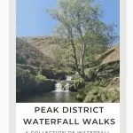
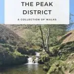
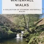
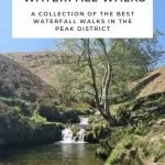
This blog post is a round up of the best waterfalls in the Peak District, including some hidden gems and secret Peak District waterfalls you might not know about. For the best Peak District waterfall walks, read on.

The Peak District is world renowned for its fabulous scenery, with dramatic mountains and moorlands, but it’s also home to a surprising number of waterfalls as well. Here are some of our favourite Peak District waterfall walks, with maps, routes and walking guides to help you find them. Some of these waterfalls are more secret than others! If you are wondering “is there a waterfall near me?” read on!
Some of these waterfalls are places you can have a dip or wild swim if you want to, but others are smaller.
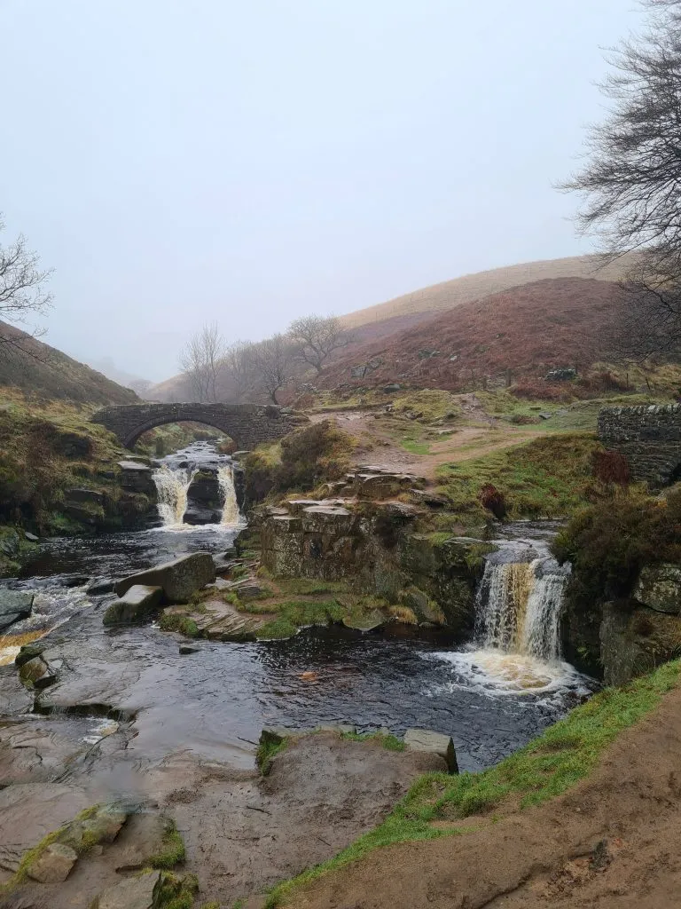
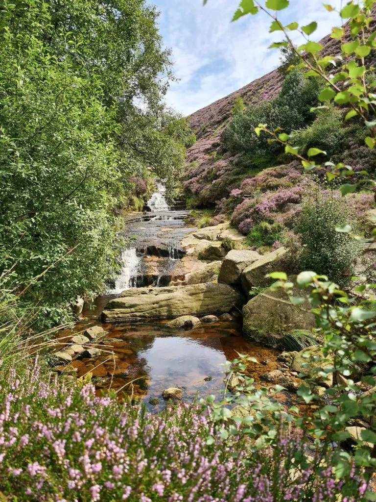
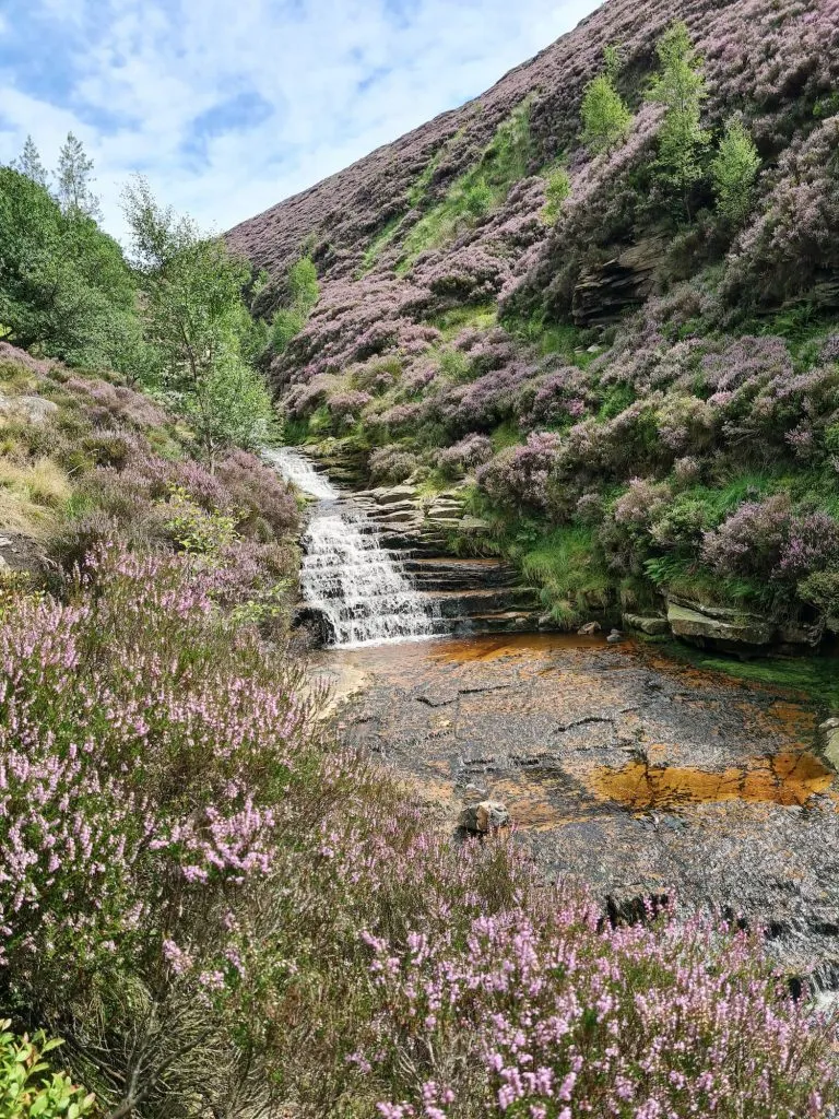
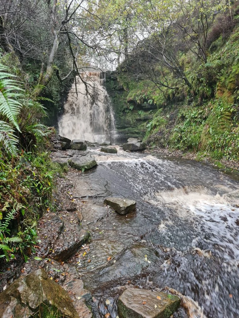
Three Shires Head and Panniers Pool
Three Shires Head is almost exactly as the name suggests – it’s where three counties (Cheshire, Staffordshire and Derbyshire) meet and is a former packhorse route over the moors. Three Shires Head has pools, waterfalls and ancient packhorse bridges in the middle of a valley, with Panniers Pool being where the drovers used to let their packhorses cool down. These days it’s a very popular spot with wild swimmers and photographers and can be busy at times, especially on a hot day.
Three Shires Head walk from Flash:
Parking: Limited parking outside the New Inn, Flash SK17 0SW
Facilities: None if the pub is shut
Walk Time: 2-3 hours
Terrain: Road and potentially muddy paths
Distance: 3.7 miles (6km) approximately
Route Map: Click the map to download a gpx file.
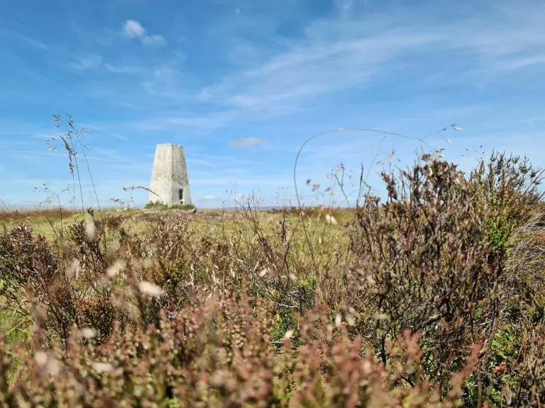
For a longer walk including a visit to Three Shires Head, check out Axe Edge Trig Point and Three Shires Head Walk.
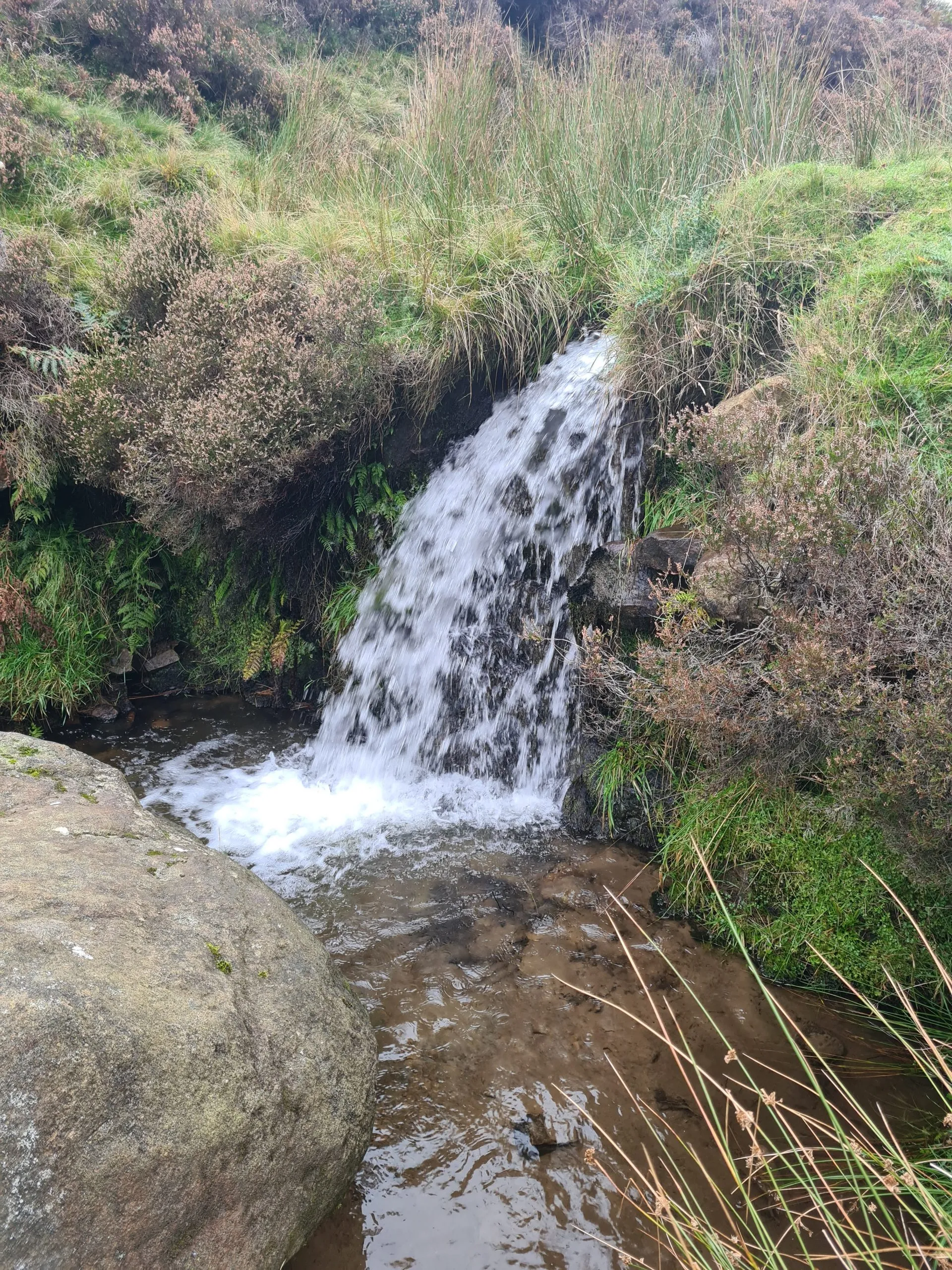
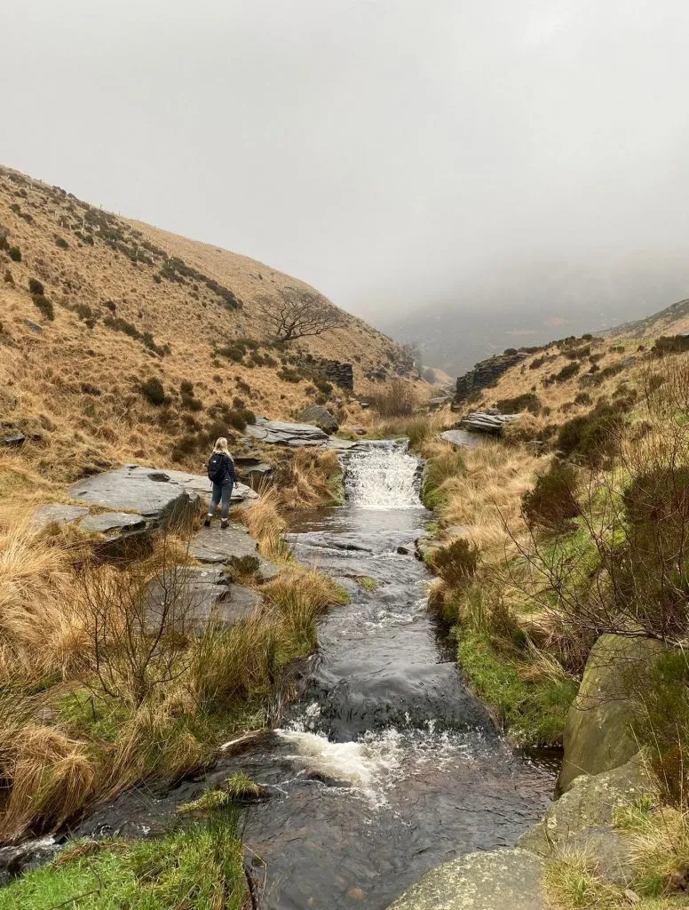
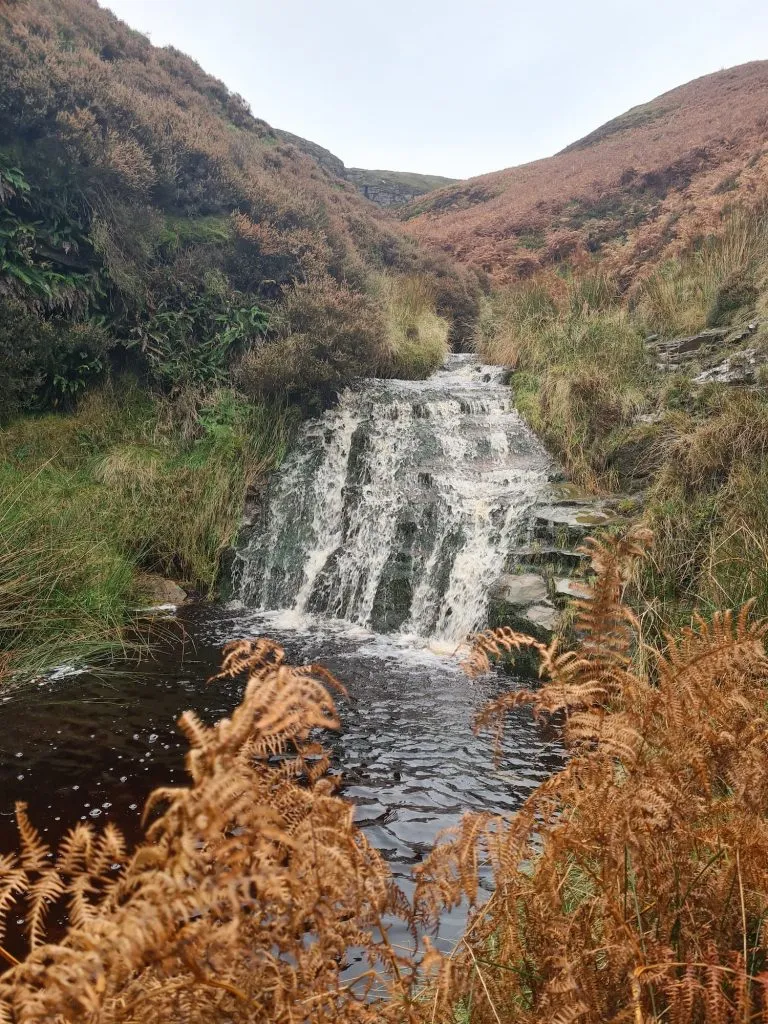
Torside Clough Waterfall
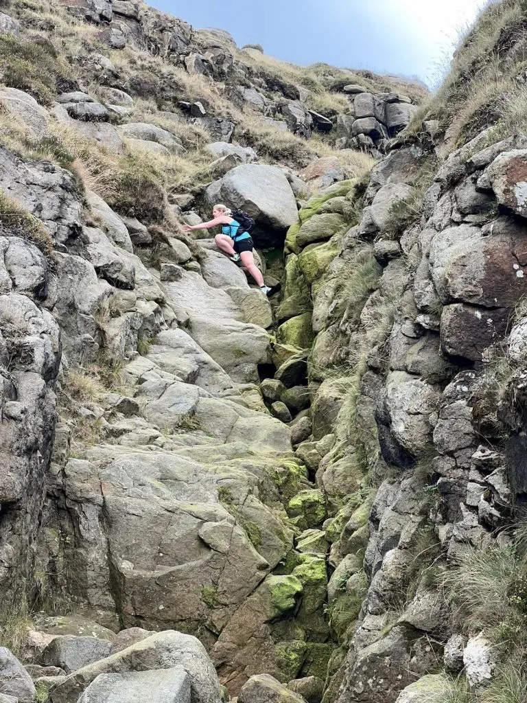
On the northern side of Bleaklow there are a few cloughs and hidden valleys. This part of the Peak District tends to be quieter than the busier spots further south and it can feel very remote. We discovered this waterfalls on our Wildboar Clough Scramble walk, as we scrambled down Torside Clough, but I’ve also scrambled up. When the heather is out, this part of the Peak District is stunning.
Torside Clough is full of beautiful waterfalls but access is very tricky. There are no proper paths and you have to climb over boulders and rocks.
Parking: Torside Car Park SK13 1JB (pay and display)
Facilities: There are loos in the car park
Walk Time: 4-5 hours depending on speed and fitness
Difficulty: ▲▲▲
Distance: 5.77 miles (9.3km)
Torside Clough Walk Map:
Click on the map to access Komoot and download the GPX
Tintwistle Seven Falls
This is a hidden gem in the very north of the Peak District. As the name suggests, it’s a cascade of (at least) seven waterfalls, some of which are rather impressive! This is a circular 3 mile walk from Arnfield Reservoir looping around the waterfalls.
Tintwistle Seven Falls Short Walk
Parking: Roadside parking near Arnfield Fly Fishing. Please be mindful of local residents.
Facilities: None
Walk Time: 2 hours
Difficulty: ▲▲
Distance: 2.9 miles (4.7km)
Trig Points Bagged: None
Peak District Peaks Bagged: None
Peak District Ethels Bagged: None
Walk Map:
You can click on the map to download the GPX file from Komoot.
Waterfall Swallet
Waterfall Swallet is a secret waterfall which is near the village of Eyam. Tucked away in a wooded copse, this waterfall is privately owned but there is permissive access.
It does dry up in summer, so be sure there has been plenty of rain before you have a visit. For a shorter walk, park in the layby near Sir William Hill and walk approx 2km each way (see this OS Map Route). There is no parking near the waterfall.
Waterfall Swallet walk:
Parking: Monsal Head Car Park Long Stay, Castlegate Lane De45 1NJ. There is also limited on street parking nearby for free.
Facilities: Public toilets in the car park and pub at Monsal Head Hotel. There is also Hobbs Cafe and an ice cream truck.
Walk Time: 5-6 hours
Difficulty: ▲▲
Distance: 13.2 miles (23 km)
Monsal Head to Fin Cop Walk Route Map: Click on the map to access Komoot and download the GPX
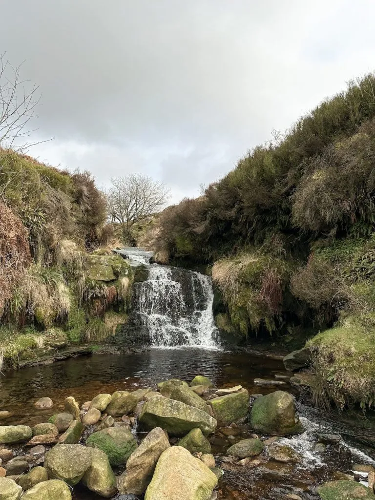
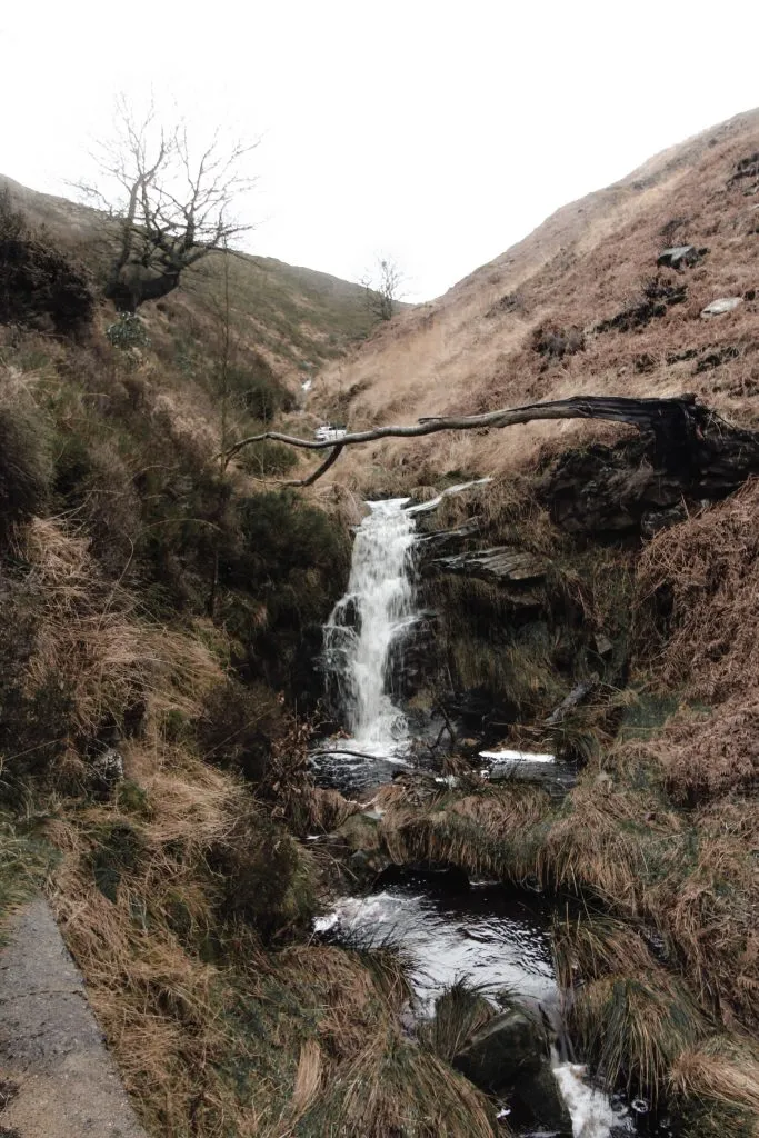
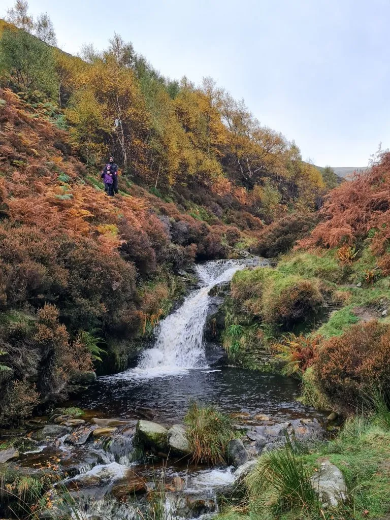
Middle Black Clough Waterfall
Middle Black Clough waterfall is a hidden waterfall in the Peak District. Tucked away just off the Trans Pennine Trail, many people pass close by without even realising it’s there! It’s a bit of a rocky scramble to find Middle Black Clough waterfall, but it’s worth it to see the 30ft high waterfall.
Middle Black Clough waterfall walk:
Parking: SK13 1JE
Facilities: None
Walk Time: 1-2 hours
Terrain: Road and rocky scramble with a potential river crossing depending on water levels
Distance: 0.9 miles (2km) approximately
Route Map: Click the map to download a gpx file.
Crowden Clough
We discovered this waterfall as part of our Crowden Clough scramble walk up Kinder Scout. You don’t have to venture up onto Kinder Scout to find this Peak District waterfall though, and it’s even got a pool where you can have a little dip. This waterfall is just off the path on the way up Crowden Clough.
Here’s the route map for this Kinder Scout walk.
Parking: Barber Booth car park S33 7ZL – this is free although only large enough for 10-12 cars and fills up quickly on weekends.
Facilities: None
Walk Time: 3-4 hours depending on speed and fitness – the waterfall is before the scramble up onto the Kinder plateau so if you just want to go to the waterfall it won’t take this long!
Difficulty: ▲▲▲
Distance: 7.7 miles (13 km) – only 1.15 miles approx to the waterfall though.
Crowden Clough waterfall walk map:
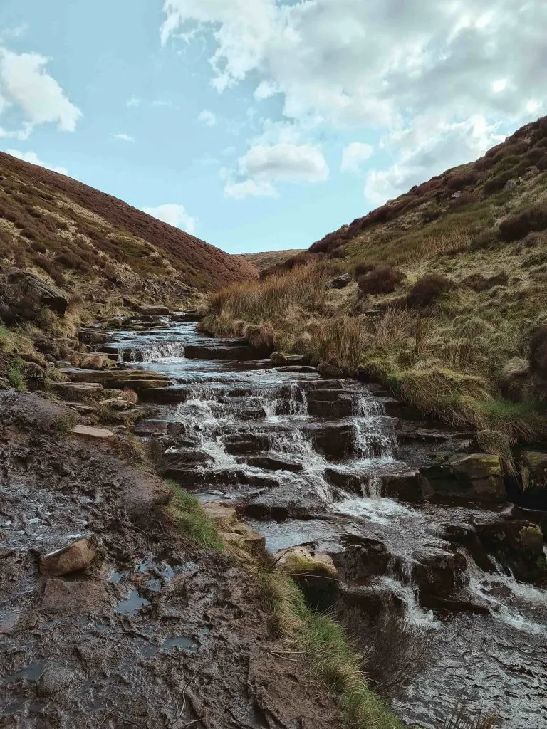
Issue Clough Waterfall
Issue Clough is a bit of a hidden gem in the Dark Peak. It’s part of the Black Hill plateau and is usually overlooked as people use the Pennine Way to climb Black Hill. You can either access this from the Pennine Way or from Issue Road, a track which leads from Holme village (if you do this as a circular walk you can have a pub stop off afterwards).
There is a path marked on the OS Map however this isn’t visible on the ground. If you approach Black Hill from Holme village you can see the waterfall as you walk along, and then skirt around the base of the hill to get to it, following the Clough. This walk from Holme to Black Hill to Crowden and back has a stop off at Issue Clough waterfall.
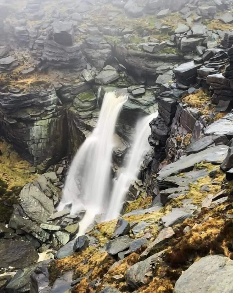
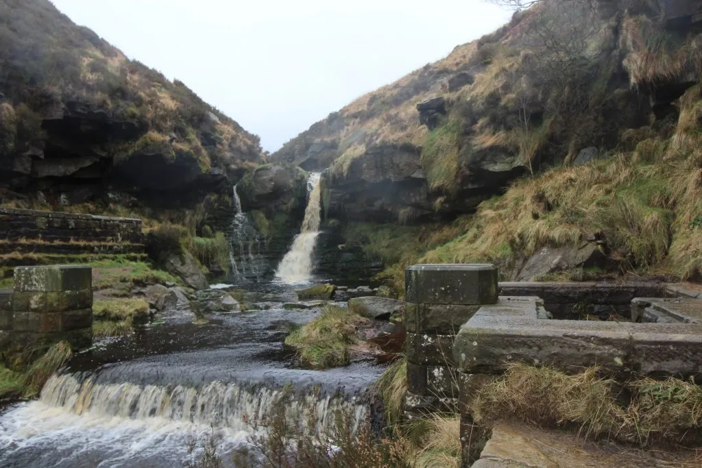
Kinder Downfall
Kinder Downfall is on the Kinder Scout Plateau and is the highest waterfall in the Peak District. Nearly every time I’ve seen it, it’s been shrouded in mist! The Kinder Downfall is where the River Kinder flows off the Kinder plateau before it runs down into Kinder Reservoir. It’s quite an unusual waterfall, in that strong winds can cause the water to appear to be flowing upwards, rather than down! It has also been known to freeze over in exceptionally cold weather. Our Hayfield to Kinder Scout circular walk takes you past Kinder Downfall.
Parking: Head to the car park at SK22 2ES.
Facilities: Public toilets and bike rack near the car park (at the entrance to the camp site).
Walk Time: 3-4 hours
Walk Distance: 10 miles
Route Map:
William Clough
This is another series of small waterfalls on the same walk as the Hayfield to Kinder Scout route. Partway up is a pool with a huge rock to sit on.
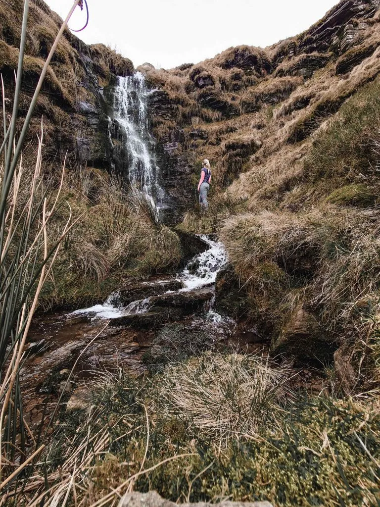
Fair Brook Waterfalls
Fair Brook is on the northern side of Kinder Scout and is home to a series of beautiful waterfalls and natural pools. We visited as part of this Nether Red Brook to Kinder Downfall walk, but you can access the waterfalls and pools easily by reversing this route and heading up the Fair Brook scramble onto Kinder Scout.
Wessenden Reservoir Waterfall Walk
This waterfall is near the Wessenden Reservoir and is a short walk from the car park. There are actually a few waterfalls hidden around the Wessenden Valley and this Wessenden waterfalls walk will help you find them.

Wessenden Reservoir waterfall walk:
Parking: Wessenden Head Road, Holmfirth
Facilities: None
Walk Time: 2 hours
Distance: 5 miles.
Birchen Clough
Birchen Clough is a series of waterfalls in the Chew Valley, on the edge of the Peak District (so definitely counts as one of the Peak District waterfalls!). This is the route up to The Trinnacle, which involves scrambling up the rocks littering the Clough to get to the top. As you head up the Clough there are lots of small waterfalls, some which have pools which might be nice for a paddle on a hot day.

Birchen Clough waterfall walk:
Parking: Binn Green Car Park OL3 7NN
Facilities: There are toilets at the Dove Stone Reservoir car park but nothing on this route.
Walk Time: 30 mins to 1 hour depending on your speed and fitness
Distance: 4.5 mile in total, Birchen Clough is after about 2 miles.
Greenfield Brook waterfalls
Greenfield Brook is a stream which runs down into Greenfield Reservoir, near to Dovestone Reservoir and Yeoman Hey. Again, this is a series of waterfalls on the way up to The Trinnacle on the edge of the Saddleworth Moors and there are a few pools where you could have a little dip if you fancied a paddle.
You’ll pass this on the way to The Trinnacle and Birchen Clough – keep an eye out to your left as you wander up the valley.
You might also like some more Peak District waterfalls. We’ve not visited these yet, so apologies for the stock photos!
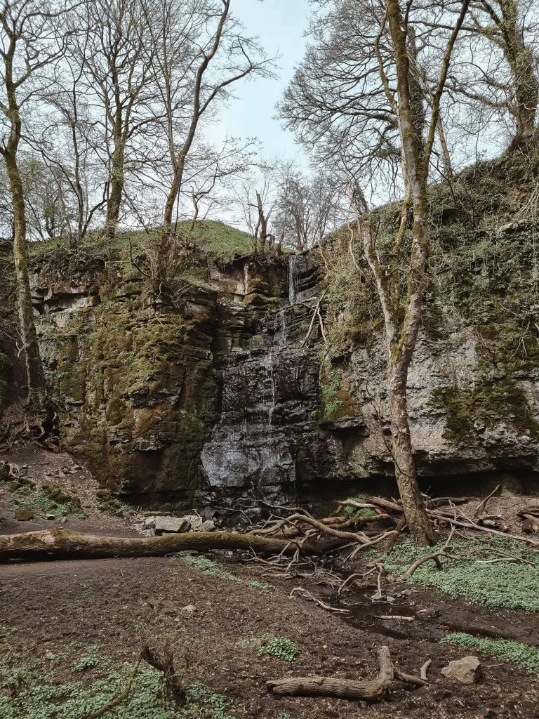
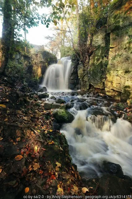
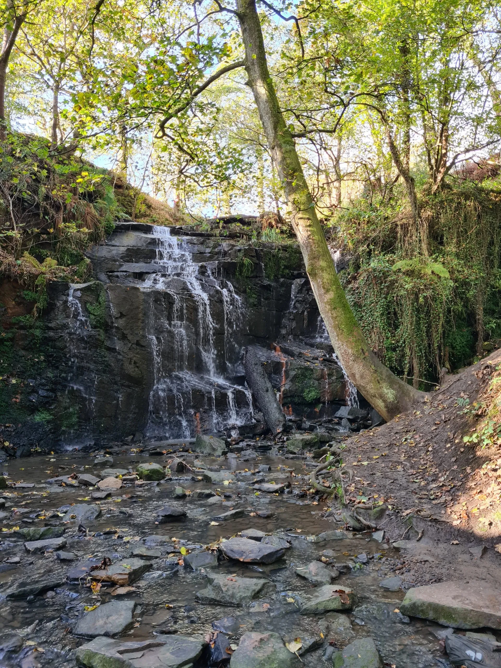
Lumsdale Falls
Walk coming soon!
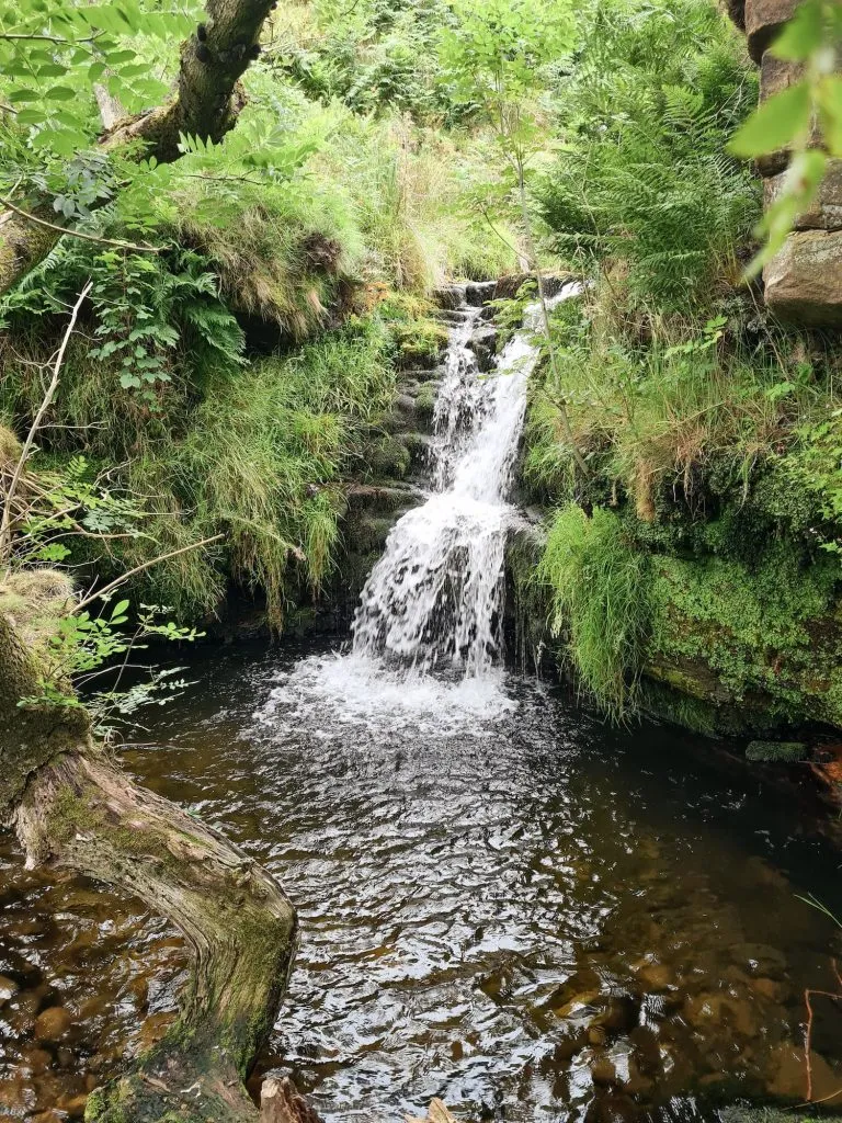
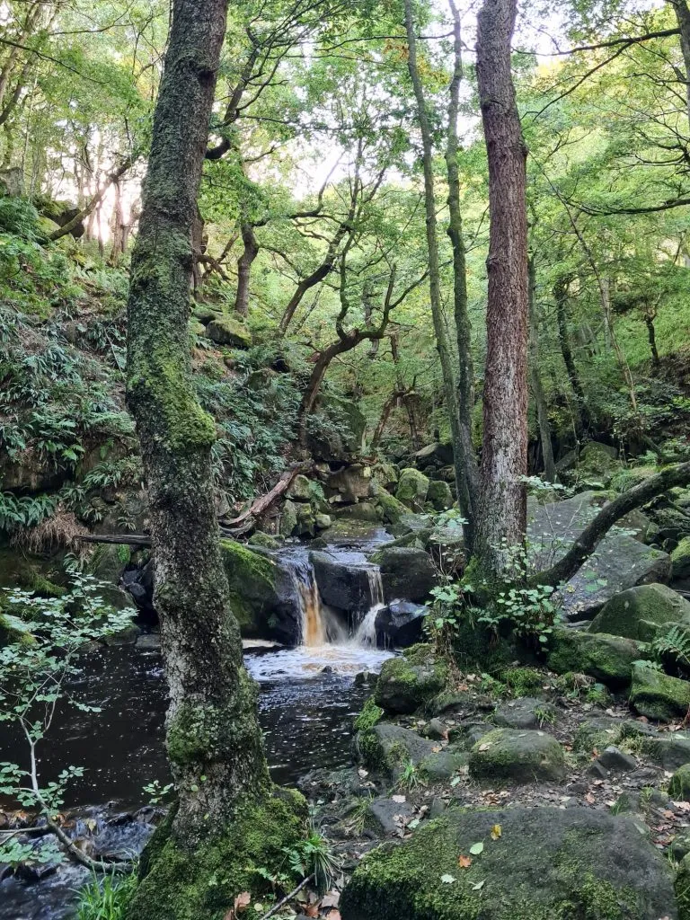
Padley Gorge
This is an amazing place to explore in the Autumn when the leaves are changing colour on the trees surrounding Burbage Brook. Burbage Brook runs down Padley Gorge and is home to a series of small waterfalls. It can get muddy, slippery and busy there but it’s a great place to explore.
We visited as part of a longer walk to Padley Gorge with Burbage Moor and Higger Tor, where you can find more route information and photos.
Padley Gorge Walk:
Parking: Upper Burbage Bridge Car Park, Ringinglow Road, Ringinglow Road, Derbyshire S32 1BR (free parking)
Facilities: None but there are toilets and a cafe at the Longshaw Estate which is run by the National Trust
Walk Time: 3-4 hours
Difficulty: ▲▲
Distance: 8.1 miles (13km)
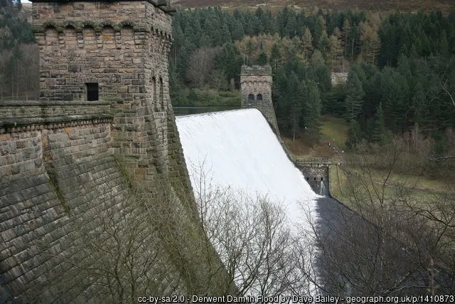
Derwent Dam
Whilst this is a manmade waterfall, it looks especially impressive after heavy rains when the dam overflows. This is easily accessible from Fairholmes Visitor Centre but you can extend the walk to include some of the surrounding area. This Ladybower Reservoir and Derwent Edge walk or Derwent Reservoir and Slippery Stones Walk includes a visit to the dam. (I’m using a stock photo for this because we visited in summer, when the water levels were too low for this spectacular sight!).
Blackden Brook
This 8.5 mile Peak District walk starts from Birchen Clough Bridge car park and heads up Alport Moor to find the Oyster Clough shooting cabin before heading across the valley and scrambling up Blackden Brook onto the Kinder Plateau. If you just wanted to explore the waterfalls in Blackden Brook, don’t go to Oyster Clough! Park on the Snake Pass, in the layby near Blackden View Farm (there are National Trust signs here).
Blackden Brook Waterfalls Walk Map:
Parking: Birchen Clough Bridge car park, Snake Road, near Glossop (nearest postcode S33 0AB)
Facilities: None – there is sometimes the Wildman Cafe in the car park but I’ve never seen him!
Walk Time: 5-6 hours
Difficulty: ▲▲▲
Distance: 8.5 miles (13.8km)
Blackden Brook Scramble Walk Map:
Please note: if you decide to go wild swimming in any of these waterfalls, you do so at your own risk. I’m not accepting any liability if you decide to have a dip – assess the risks for yourself! Here are some more wild swimming in the Peak District spots.
As an extra bonus waterfall, just outside the Peak District boundary, you could take a visit to Folly Dolly Falls in Meltham.
I’ll keep adding more Peak District waterfall walks to this list as we find them. It’s a shame there isn’t a waterfall near me, but I don’t mind driving into the Peak District to go waterfall hunting!
Follow The Wandering Wildflower on Instagram for more Peak District walks, including waterfall walks!