Langsett to Margery Hill and High Stones | 11 Miles
If you’re after a wild and windswept moorland adventure, this 11 mile walk from Langsett to Margery Hill and High Stones ticks all the boxes. Taking in two remote Ethels (plus Margery Hill trig point), it’s a brilliant route for anyone looking to escape the crowds and explore one of the Peak District’s lesser-trodden corners.
The route starts from Langsett and heads over Cut Gate and Mickleden. Before Cut Gate was a favourite with hikers and mountain bikers, it was an old packhorse route. Traders used it to haul goods like salt, wool and cheese between Yorkshire and Derbyshire. The name “Cut Gate” probably comes from the idea of a gate or pass cut through the hills, and it’s been trodden for hundreds of years.
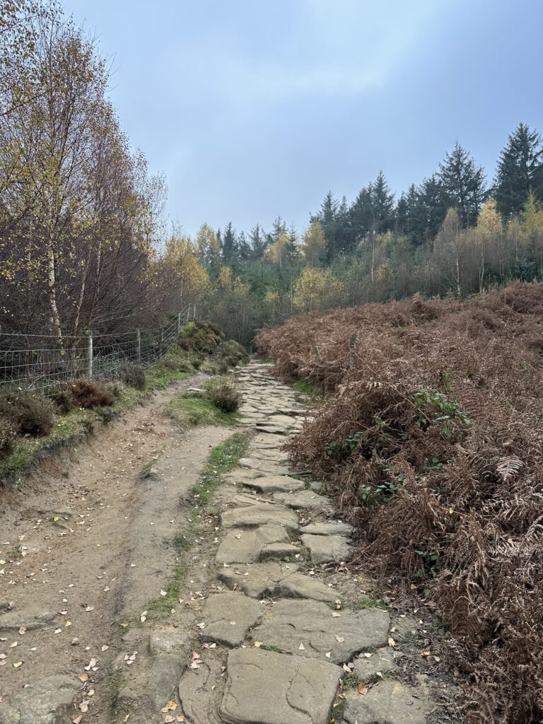
In more recent history, it was nicknamed the Bog of Doom thanks to years of erosion and some seriously soggy sections. A big conservation push in 2020 helped restore parts of the path and protect the fragile peat bogs around it. Now it’s only a bit boggy in places!
Just off the main route sits Mickleden, a deep and dramatic clough with a name straight out of Old Norse. It roughly translates as “great valley,” which feels about right when you’re stood at the top looking down into it. It’s wild, quiet and windswept – exactly what you’d hope for in this remoter bit of the Peak District.
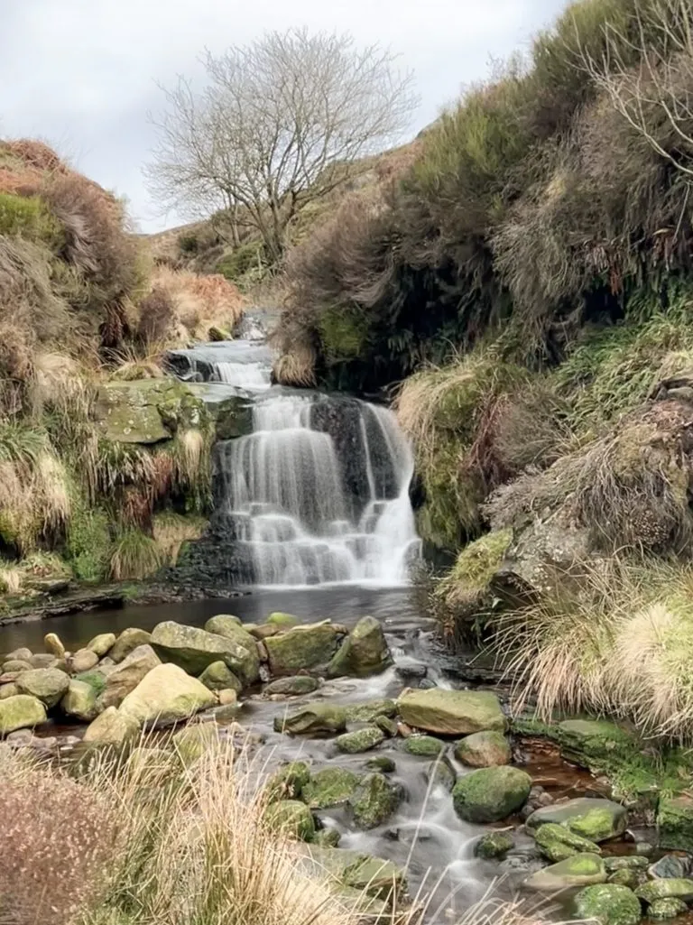
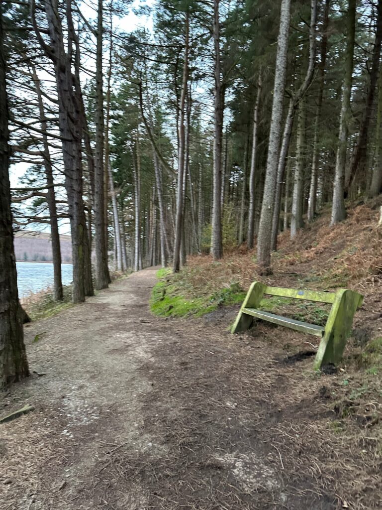
I parked at Langsett Barn (free car park) and headed south-west into the woods that surround Langsett Reservoir. Following the woodland trail that runs downhill nearer the reservoir, there’s a well made path through the trees which along Langsett Bank to a bridge over the Porter or Little Don River. I turned right to climb up the rocky hillside, which then opens out onto the moors as the trees finish.
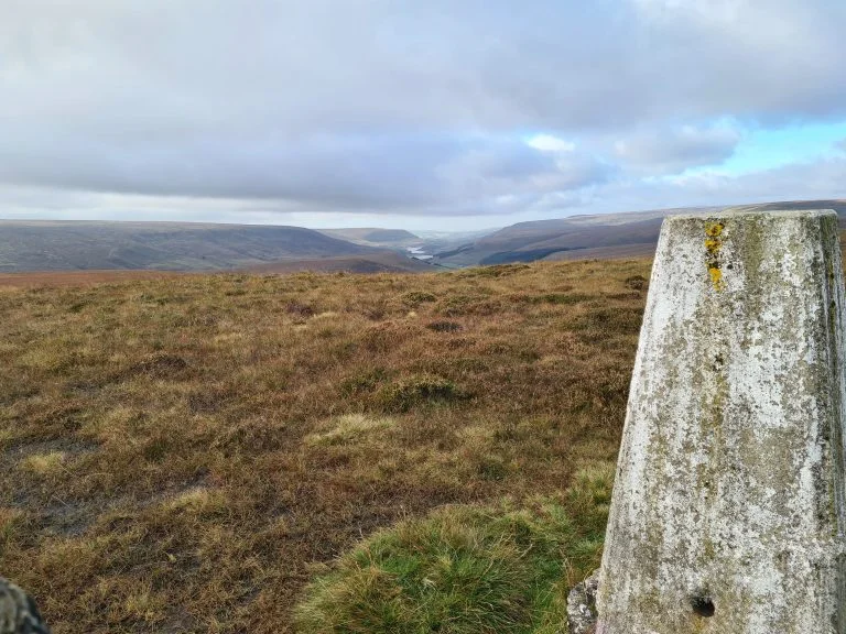
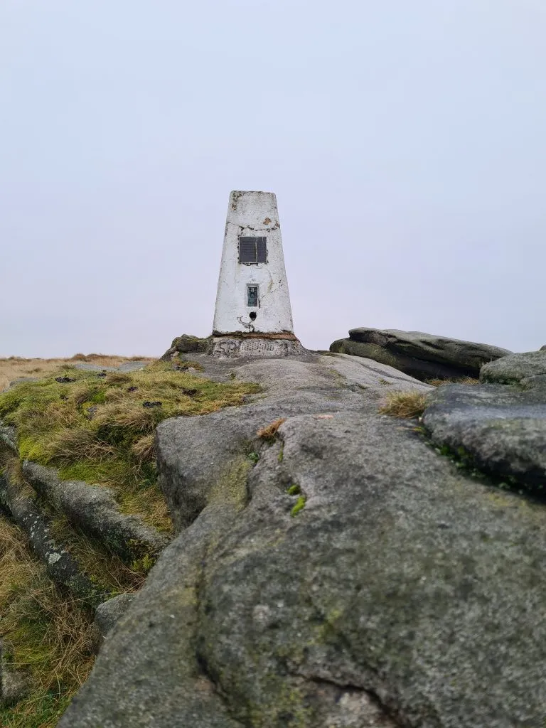
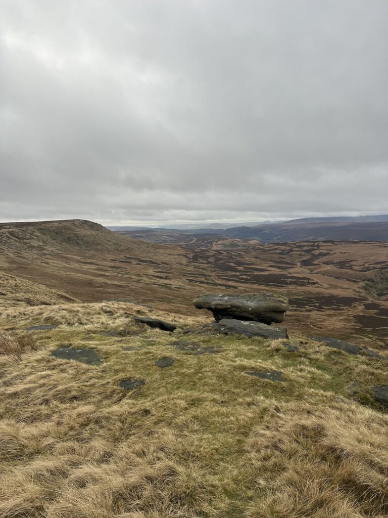
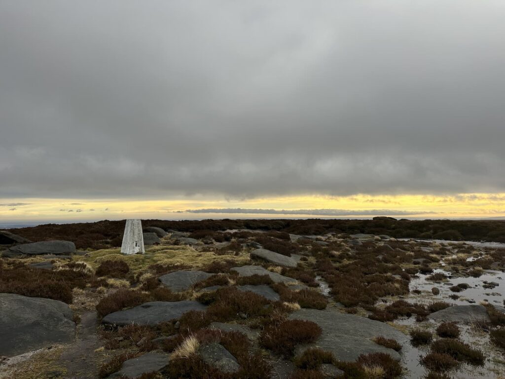
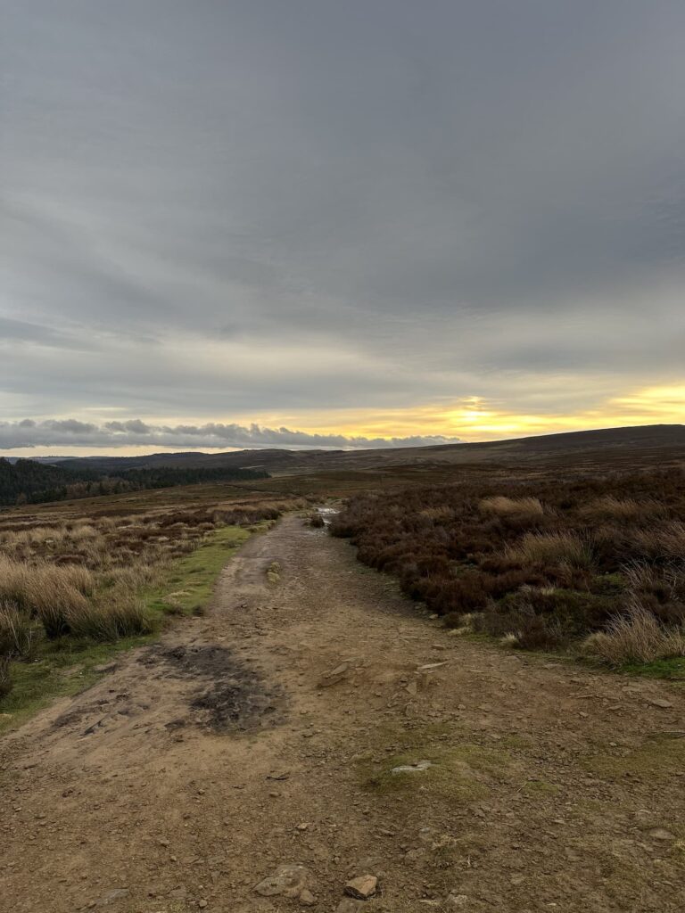
There’s an obvious path to follow, heading south-west, over Cut Gate. This path runs for around 3 miles before it arrives at a large stone cairn. At the cairn, I took a boggy, less well travelled path to the left/south-west which leads around a fenced off area and over a stile to the Margery Hill trig point, and the first Ethel of the day. Margery Hill is 546m above sea level, and and while it might not look dramatic, its windswept summit offers far-reaching views across the Dark Peak. It has a quiet, remote feel that makes the climb worthwhile.
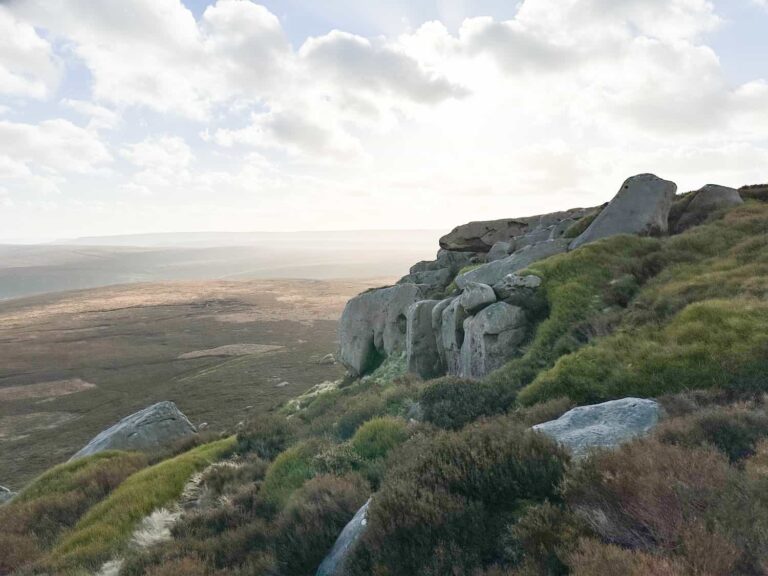
After a quick stop at Margery Hill, I set off west to pick up a path that runs along Wilfrey Edge to High Stones. High Stones at 550m above sea level is the highest point in Sheffield, and the County Top of South Yorkshire. It’s also the second Ethel on this walk. The summit is just off the path, so you might need your GPS or OS Maps app to make sure you’re properly on the spot height dot.
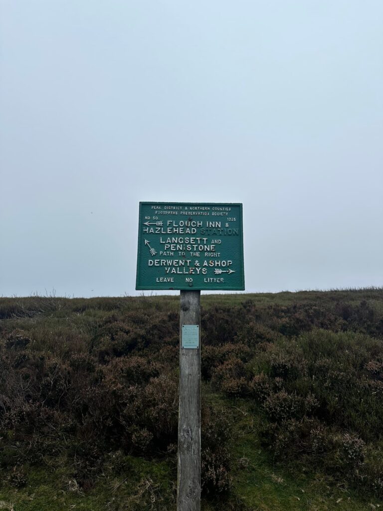
I retraced my steps back along Wilfrey Edge to rejoin Cut Gate, and followed this back over the moors for 2 miles before the path forks (marked by a green Peak and Northern Footpaths Society sign).
Following the track north-east, it heads back in the direction of the reservoir. At the T-junction you can turn left to visit the ruins of North America Farm, abandoned and then used for target practice in WW2, but I turned right to follow the track that leads around the reservoir. It crosses Thickwoods Brook, and at the next gate I turned right to head through the woods on Thickwood Lane.
At the road junction, there’s a footpath up to the left which climbs up hill a short way and emerges into a small cluster of cottages. The track runs down between two fields and then alongside the woods before joining Midhope Cliff Lane.
Turning left, I followed the road over the reservoir dam, and after the dam took the footpath turning left back into the Langsett Woods, just before you reach the Waggon and Horses pub. After the gardens/allotments, the path forks and the right hand spur heads back into the car park.
In wet weather this part of the Peak District gets very wet and boggy, and the bogs can be quite deep in places if you stray off the paths. Make sure you wear appropriate gear!
I did this as a trail run – here are some more Peak District trail runs.
Langsett to Margery Hill and High Stones Walk Details

Walk Map (Opens in OS Maps): Langsett to Margery Hill and High Stones Walk
Parking: I parked at Langsett Barn car park, A616, Langsett, Sheffield S36 9FD | W3W: bluff.track.neckline | This is free.
There is further car parking further along the A616, 250m before the Flouch roundabout | W3W: books.cobbled.skinning
Facilities: None – remember to Leave No Trace.
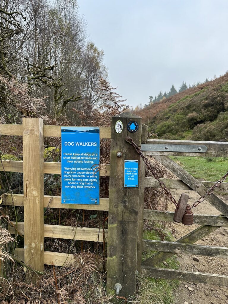
Dogs: Allowed, but only on a short lead.
Walk Time: 4-5 hours
Difficulty: ▲▲▲
Distance: 11.4 miles (18.34km)
Trig Points Bagged: Margery Hill
Peak District Peaks Bagged: Margery Hill
Peak District Ethels Bagged: Margery Hill, High Stones
For more walks to Margery Hill, you might like:
Margery Hill, Outer Edge and Crow Stones | 14 Miles
Langsett to Margery Hill, High Stones and Outer Edge | 12 Miles,