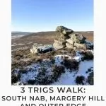
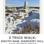
Margery Hill, Outer Edge and Crow Stones | 14 Miles
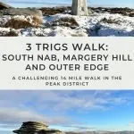
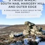
This is a 3 trig point walk over the Howden and Midhope Moors, bagging South Nab, Margery Hill and Outer Edge trig points and visiting the rock formations at the Crow Stones and Horse Stone Naze. This is a 14 mile walk over challenging moorland terrain with some off path sections requiring good navigation.
This trig bagging walk starts near South Nab trig point then heads over the moors to Margery Hill trig point and Outer Edge trig point before visiting Crow Edge, the Crow Stones and Horse Stone Naze, all of which have amazing views down the Derwent Valley towards Ladybower and Kinder Scout. The moors between Margery Hill and Outer Edge are notoriously boggy (in a fell running group I’m in, one member had fallen in a bog up to his armpits whilst running there) so it’s one for good boots, waterproof socks and gaiters!
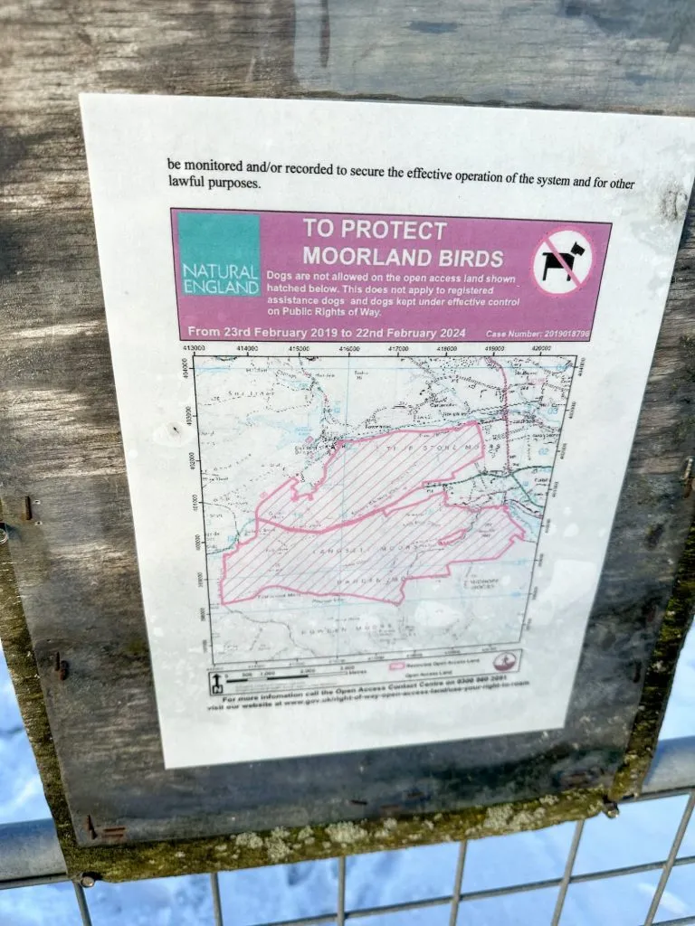
We started our walk in a small lay-by near South Nab trig point and took a very short (5 minutes?) walk to the trig point. This is a protected area and dogs aren’t allowed on these moors – there are signs on the gates.
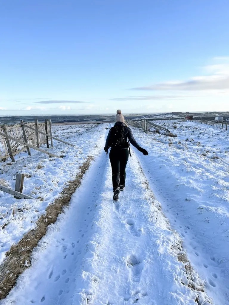
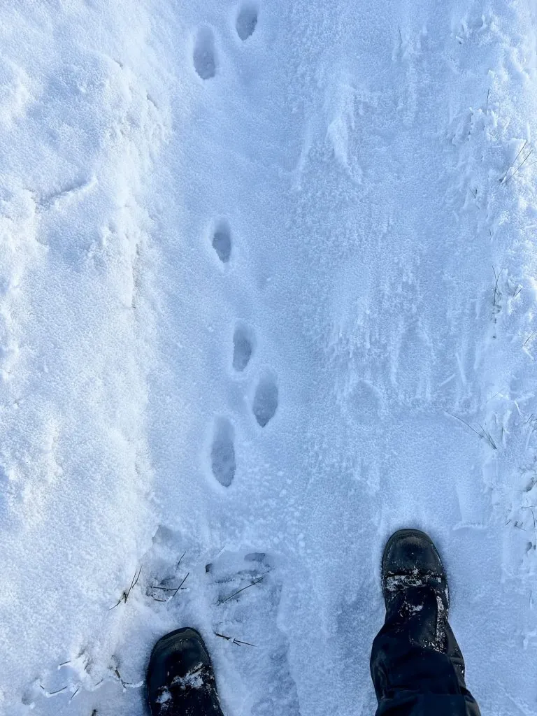
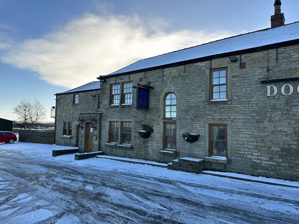
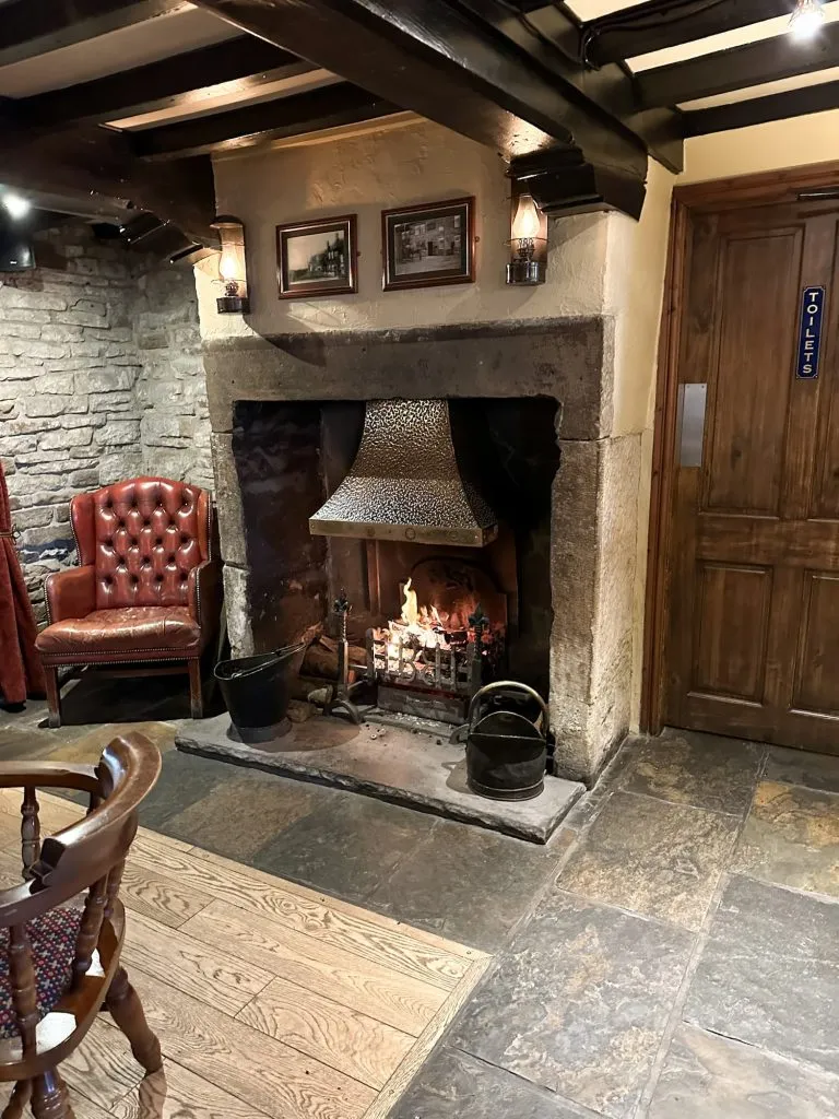
From South Nab trig point we headed down the aptly named Snow Road, walking along the Barnsley Way which runs alongside the main road, for about a mile and a half. The only other footprints down here were those of the hares, rabbits and grouse! We crossed the road near The Dog and Partridge pub and walked on the pavement for a short until we reached the public footpath.
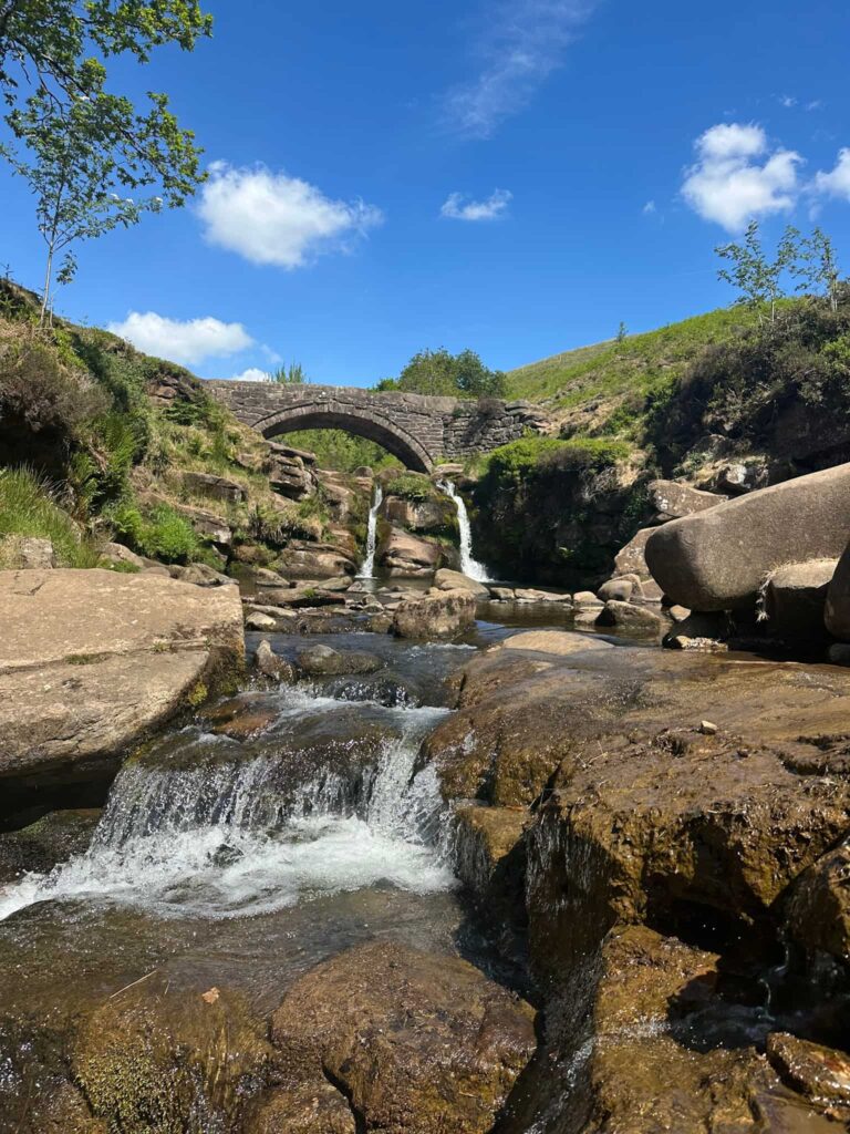
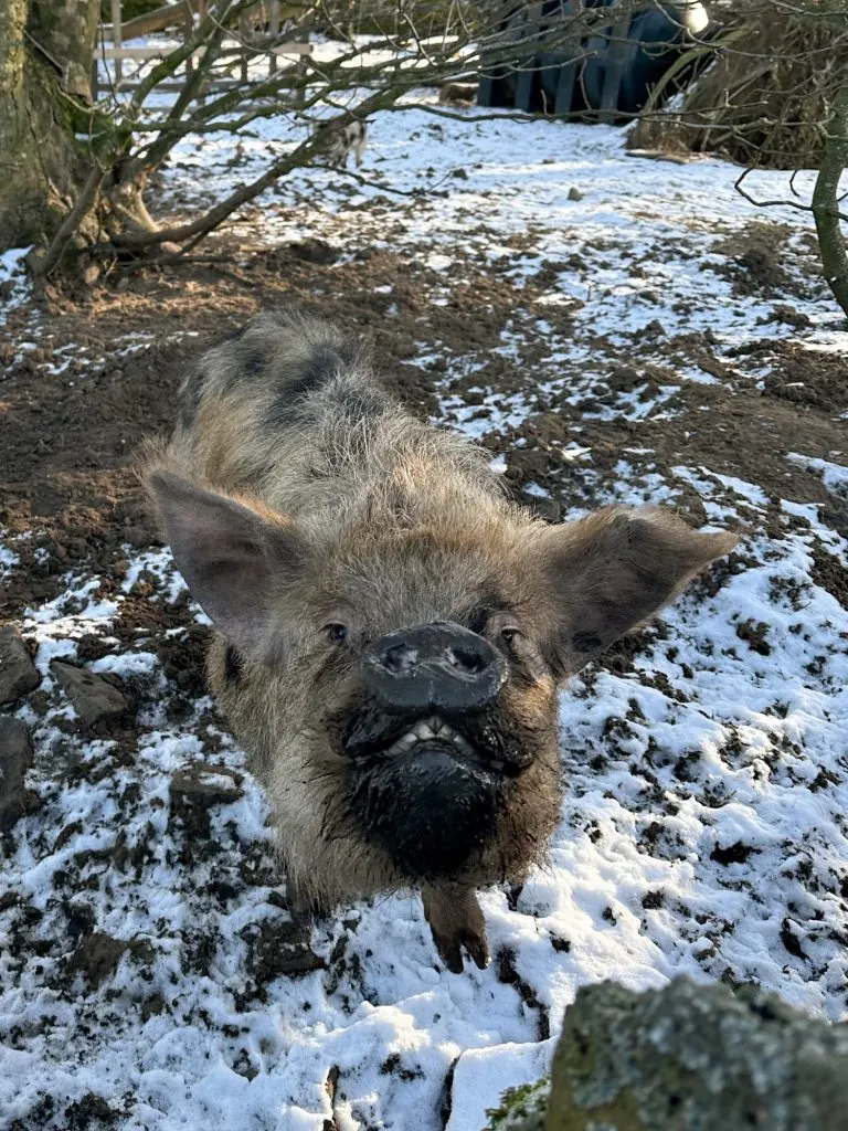
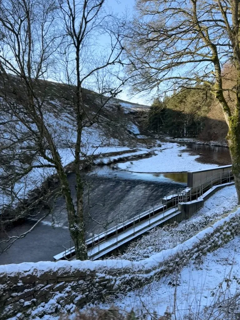
We headed down the footpath, passing the friendliest pig and her piglets, and then followed the farm track for a while. It comes to a T junction, and instead of heading down the hill, we doubled back on ourselves and followed the track down towards Langsett Reservoir. We passed through some woodland and crossed a stream, before heading down the hill to the weir at Langsett.
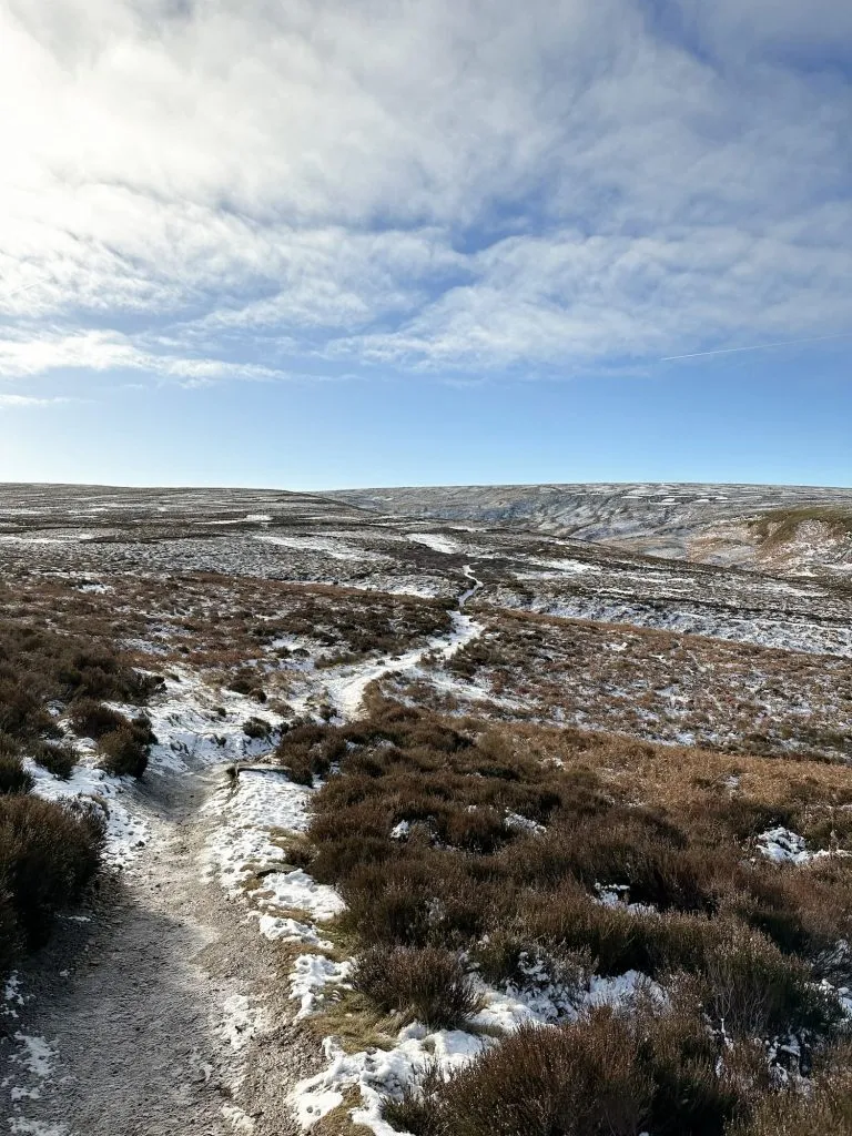
From here we went through the wooden gate and headed up the rough track onto the moors. The path is quite easy to follow and climbs gradually for about 3 miles before reaching a cairn on the path. At the cairn we headed south-east onto the moors, dodging the bogs as best we could. The ground was frozen but the bogs were still there, just covered with ice!
We reached the Margery Hill trig point and then headed onto Margery Rocks to shelter from the wind and have a spot of lunch. From Margery Rocks we looped back round and across the moors again to reach the cairn we’d previously passed.
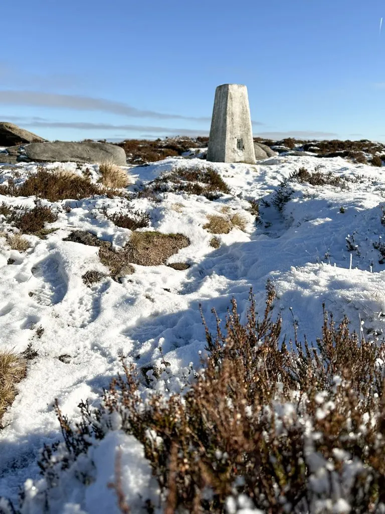
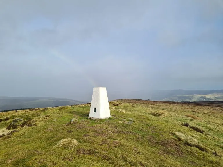
From the cairn this time we headed north-west over the moors to reach Outer Edge trig point. This part of the moors is really boggy, and some of the bogs are quite deep in places so we had to take care and do a lot of bog dodging.
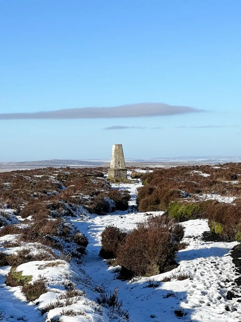
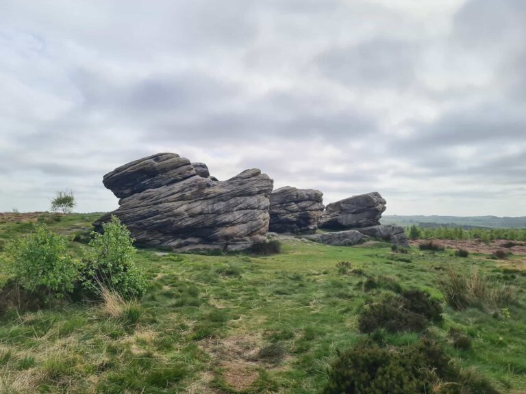
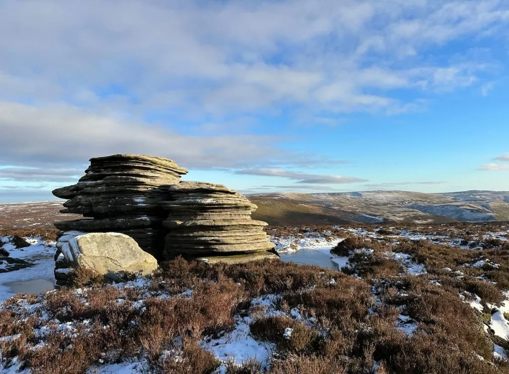
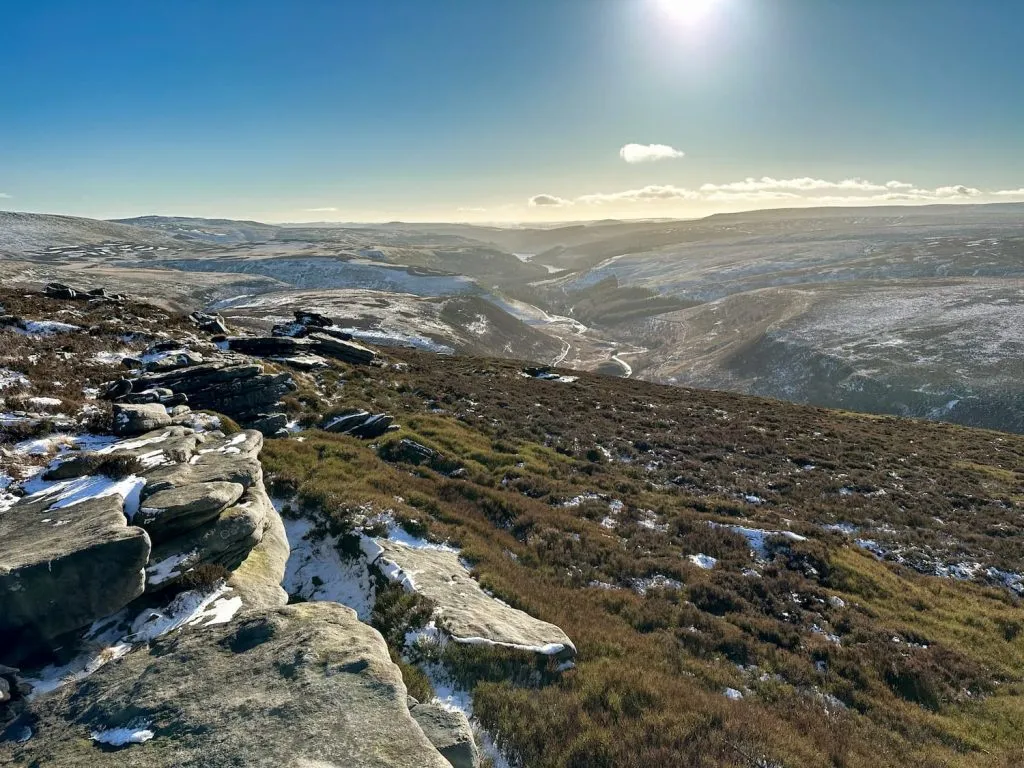
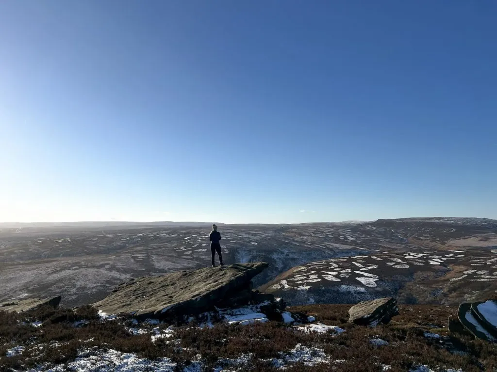
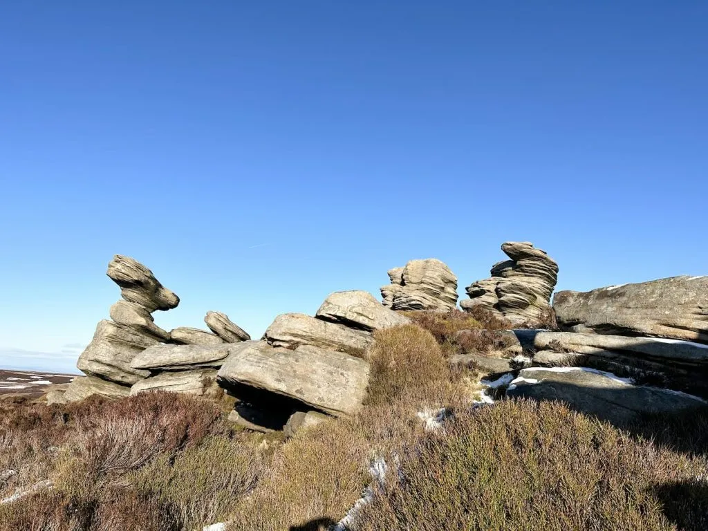
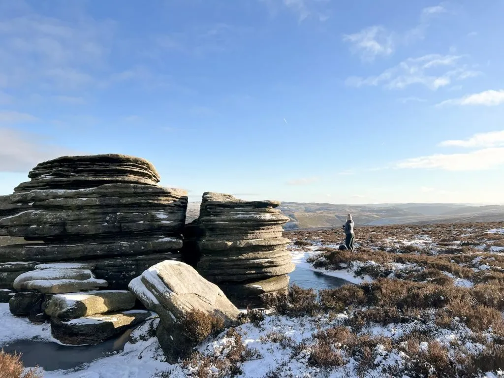
At Outer Edge trig point we then wandered roughly west, picking up the path that runs down the Edge and over to Crow Edge. From here there are amazing views down the Derwent Valley over to Ladybower and Kinder Scout. From Crow Edge we headed over to the Crow Stones. This group of gritstone tors is great to explore and is popular with photographers and wild campers alike.
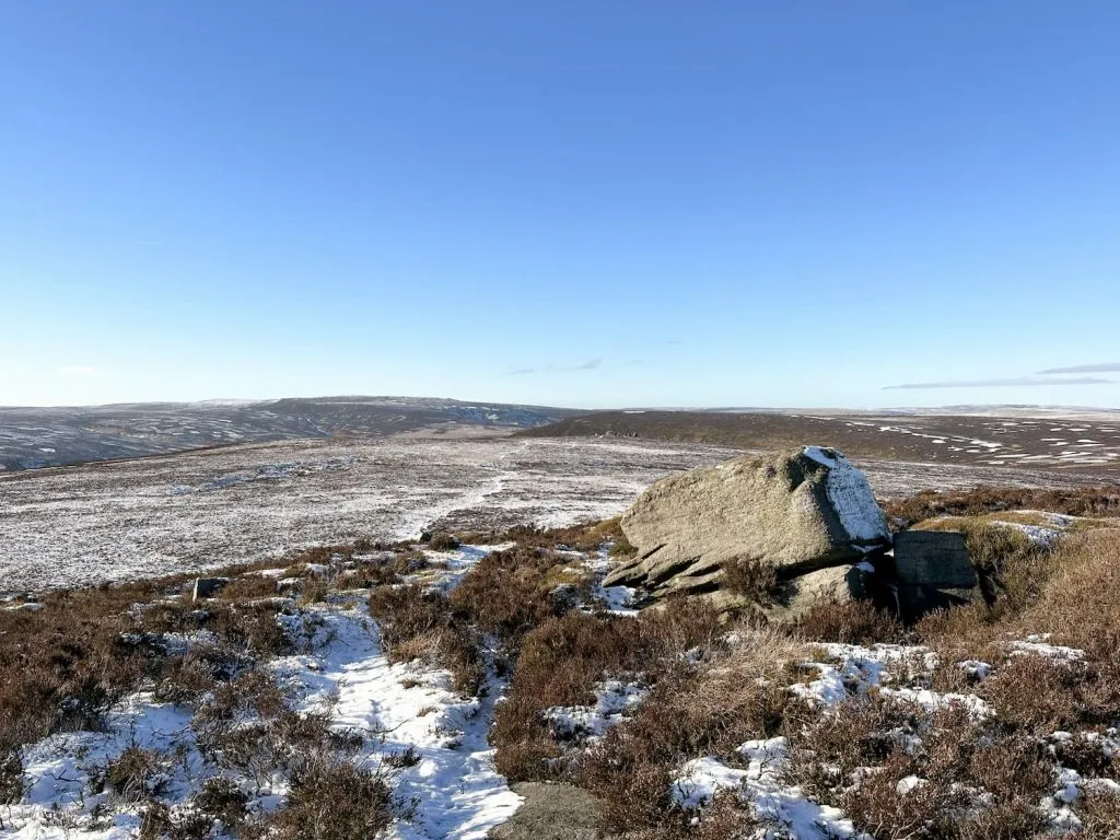
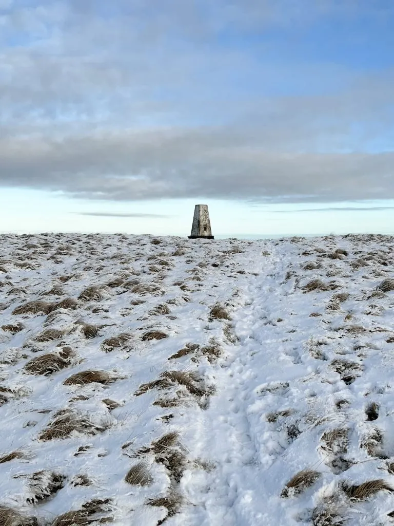
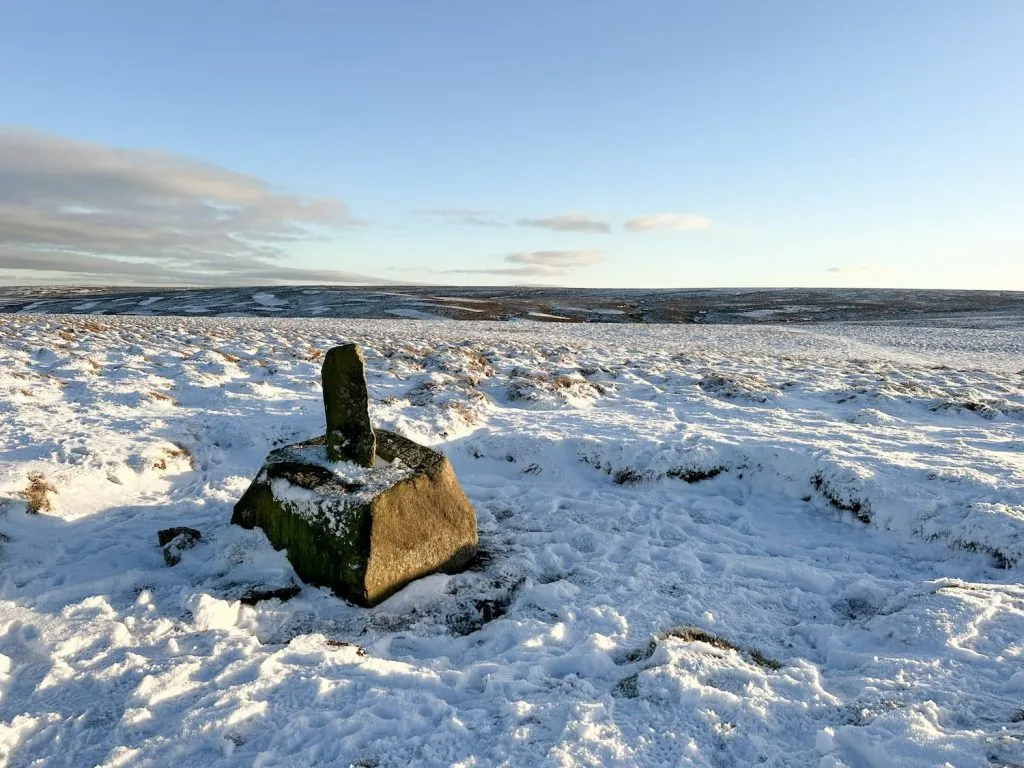
From the Crow Stones we headed back up to Outer Edge and then picked up the footpath leading north. We reached a square boulder stone (perhaps the remains of a waymarker?) and set off over to Hoar Stones. Hoar Stones is an unassuming summit but is 514m above sea level, surprisingly.
We then followed a bearing over to Horse Stone Naze. We had to go off path to reach this gritstone tor, but it meant we got to see a mountain hare in its white coat. It was too quick for me to get a picture of but it felt like such a treat to see, especially as they sadly become rarer and rarer.
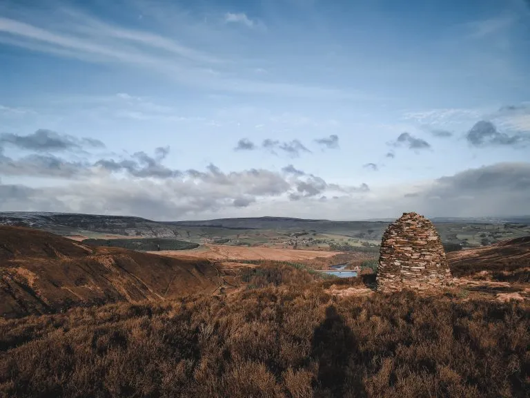
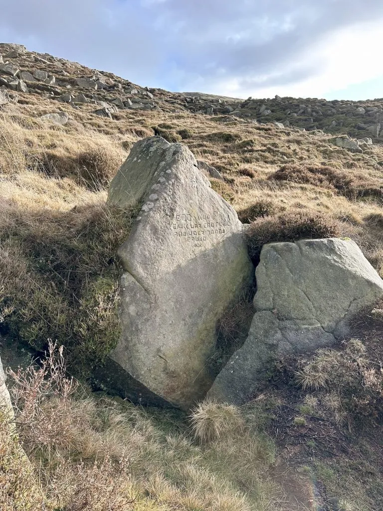
After a quick cup of tea at the Horse Stone, we headed back to the path and then set off roughly north-east to a small cairn, indicating the junction of the paths. We took the path that leads to a track passing the Lady Cross, which marks an ancient packhorse route across the moors as well as the boundary of the medieval monastic lands surrounding Glossop. The cross itself (or the remains of it, as there is only the base and part of the post left) is Grade II listed and is thought to date back to the 13th Century. The carving on the base is for IWB or Isaac Watts Boulton who was an engineer from Manchester who was a pioneer of narrow gauge railways. Quite why he carved his initials on here is a mystery!
The track ended up back on the main road, a short distance from the parking layby near South Nab trig point.
This was a fabulous walk, but the snow made it really tough going and hard to navigate at times because we couldn’t see the paths! The ice was also a bit treacherous in places, being quite thin over some of the groughs and streams.
We headed back to the Dog and Partridge at Flouch for a quick drink/warm up in front of the fire before heading home.
Margery Hill Walk Map:

Walk Map (Opens in OS Maps): Margery Hill, Outer Edge and the Crow Stones Walk
Parking: A layby on the Woodhead Pass
Facilities: None
Walk Time: 6-7 hours
Difficulty: ▲▲▲
Distance: 14.2 miles (22.85km)
Trig Points Bagged: South Nab, Margery Hill, Outer Edge
Peak District Peaks Bagged: South Nab, Margery Hill, Outer Edge
Peak District Ethels Bagged: Margery Hill, Outer Edge
You might also like South Nab Trig Point and Windleden Reservoirs
Langsett to Margery Hill, High Stones and Outer Edge
Langsett to Margery Hill and High Stones | 11 Miles
The Source of the River Derwent | 12 Miles
Fairholmes to the Grinah Stones | 17 Miles
For more walks to bag multiple trig points, check out Peak District Trig Point Walks.