• 3 Mile Walks or Less
  • 4 Mile Walks
  • 5 Mile Walks
  • 6 Mile Walks
  • 7 Mile Walks
  • 8 Mile Walks
  • 9 Mile Walks
  • 10 Mile Walks
  • 11 Mile Walks
  • 12 Mile Walks
  • 14 Mile Walks
  • 15 Mile Walks
  • 20+ Mile Walks

The Wandering Wildflower

Peak District Hikes

  • PEAK DISTRICT WALKS
    • SHORT WALKS UNDER 3 MILES
    • MEDIUM WALKS 4-9 MILES
    • LONG PEAK DISTRICT WALKS 10 MILES +
  • PEAK DISTRICT WALKS WITH PUBS
  • PEAK DISTRICT WALKS WITH KIDS
  • HOLMFIRTH WALKS

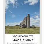
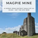
Monyash to Magpie Mine and Bole Hill | 6 Miles

July 25, 2022 CIRCULAR WALKS, MEDIUM WALKS 4-9 MILES, PEAK DISTRICT WALKS, PEAK DISTRICT WALKS WITH KIDS

This Peak District walk starts in the pretty village of Monyash before heading over the beautiful countryside to explore the ruins of Magpie Mine, a 19th Century lead mine. As we’re ticking off those Peak District Ethels, we also headed to Bole Hill before returning back to Monyash. This is a lovely 5.5 mile walk, perfect for early summer when the wildflowers are blooming in the meadows.

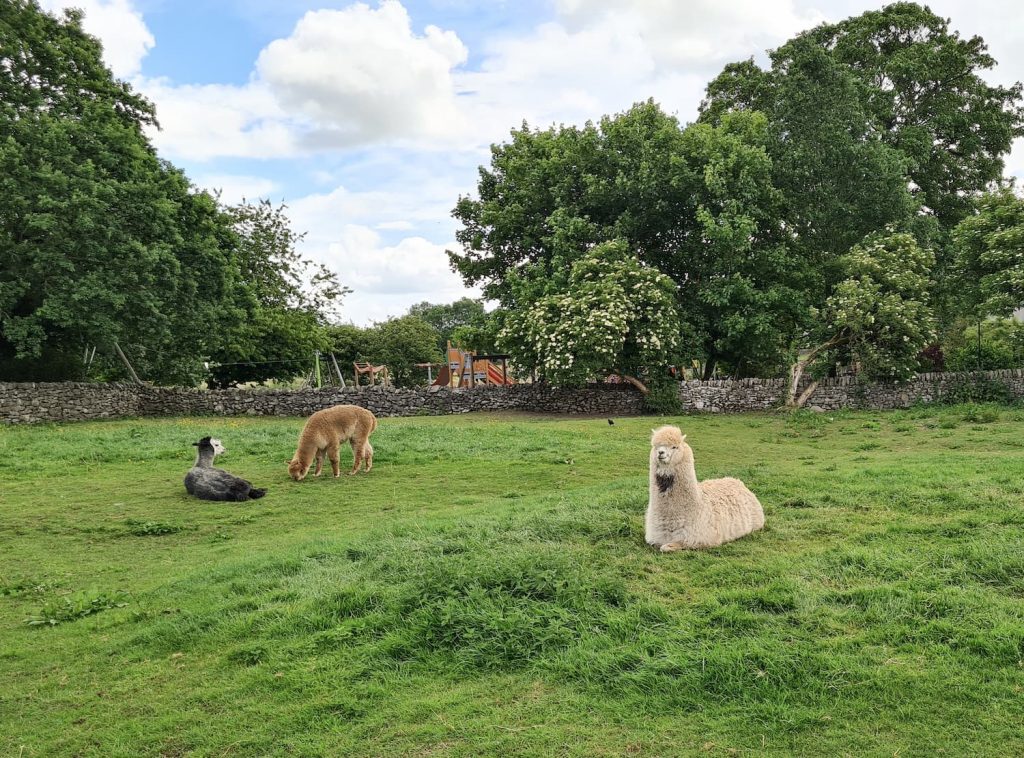
For this Magpie Mine walk, we parked on Chapel Street in Monyash, next to a field of amazing alpacas. From here we headed north to the junction with Horse Lane, then followed Horse Lane before joining the public footpath across the fields. Here we went as near as we could to High Low trig point (which wasn’t very near!).

Some amazing alpacas in Monyash

Some amazing alpacas in Monyash

High Low trig point is on the horizon!

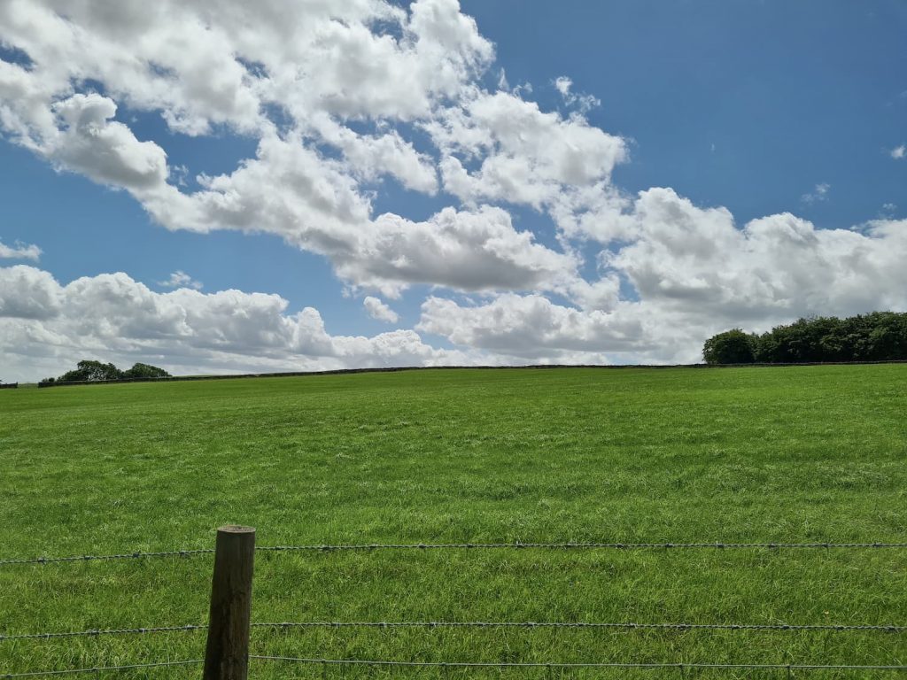
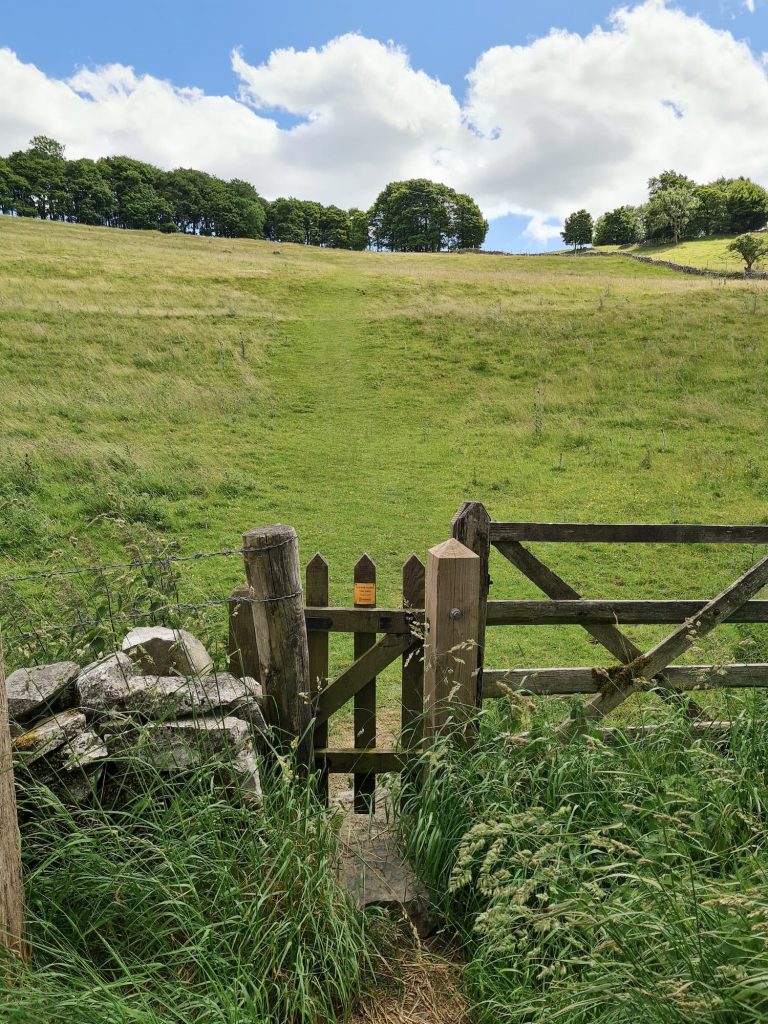
We followed more footpaths over the fields and then headed onto Johnson Lane for a short distance. There’s a footpath on the left which heads over to the site of Magpie Mine.

The ruins of an old lead mine in the Peak District, Magpie Mine

The ruins of an old lead mine in the Peak District, Magpie Mine

The ruins of an old lead mine in the Peak District, Magpie Mine

The ruins of an old lead mine in the Peak District, Magpie Mine

The ruins of Magpie Mine

Magpie Mine

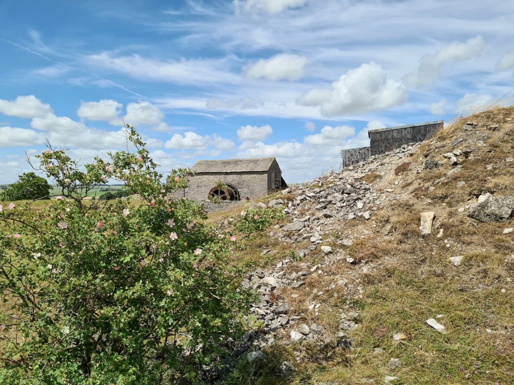
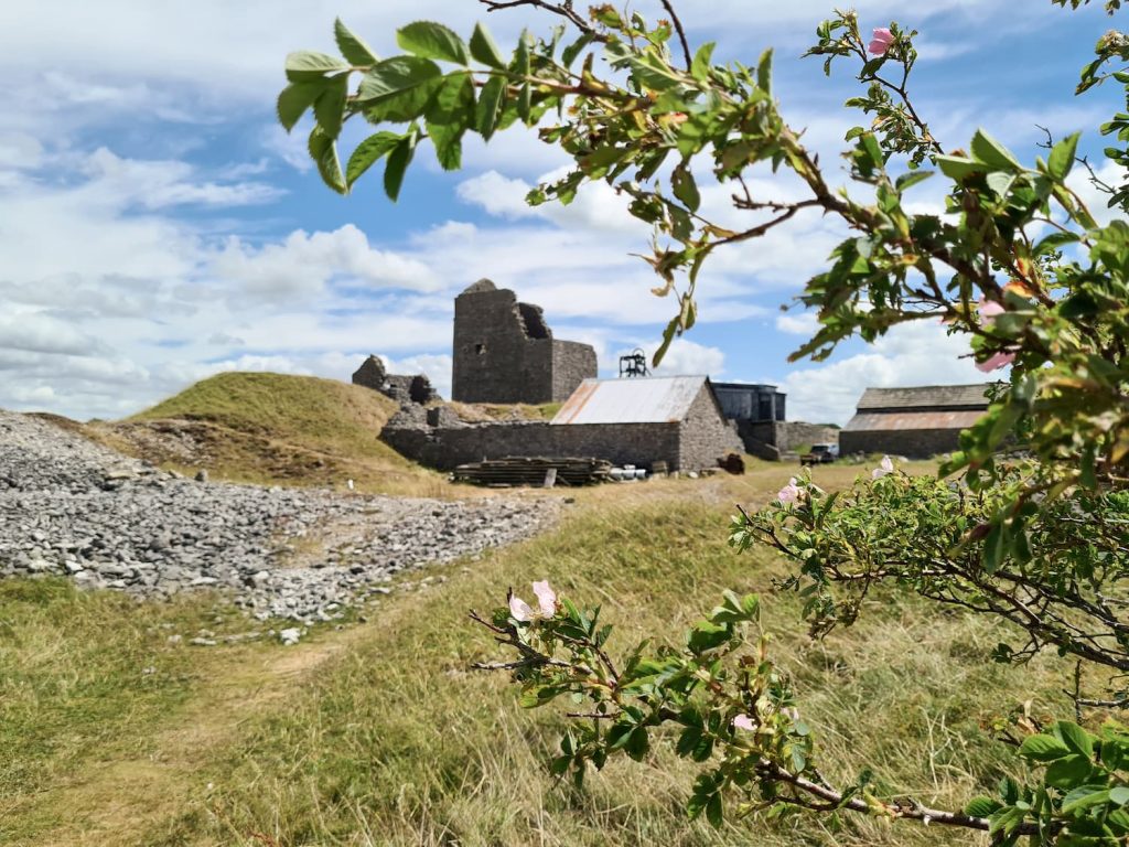
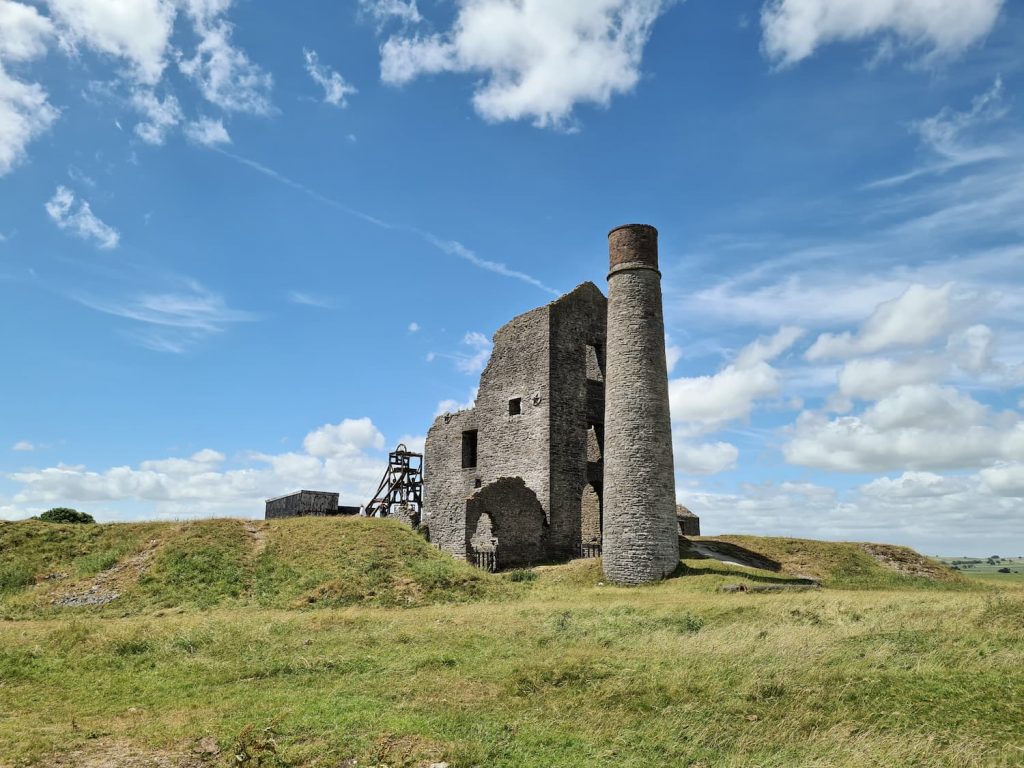
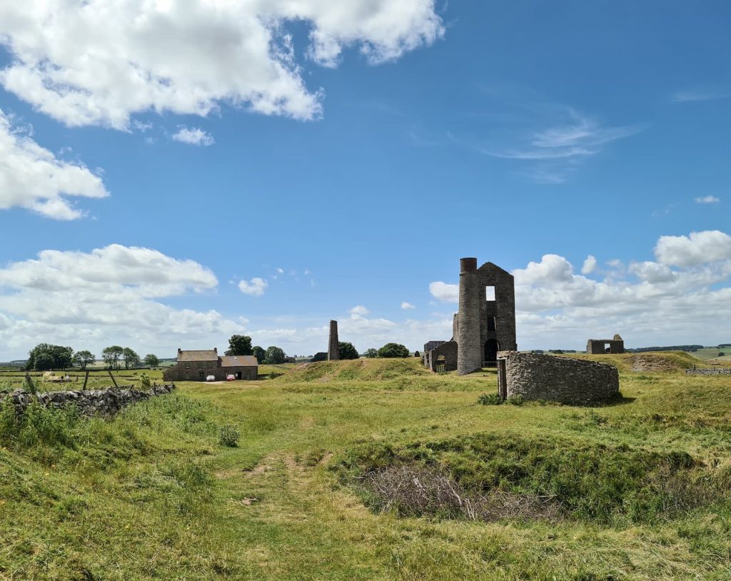
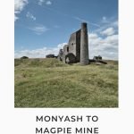
Magpie Mine is a disused lead mine and is a great place to explore some of the area’s industrial heritage. The mine itself is said to be over 300 years old although closed in 1958 due to the constant flooding and a fall in lead prices. The mine is one of the best preserved lead mines in the Peak District and is accessible at any time, but there is usually only someone around on a weekend to provide visitors with information.


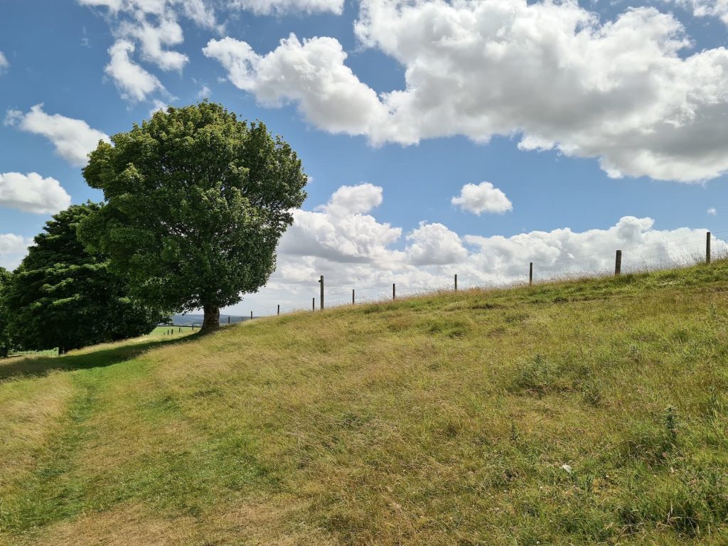
From Magpie Mine we headed over the fields towards Bole Hill. This is another one of the more frustrating Ethels, in that you can’t access the summit using freely accessible land or paths. We couldn’t even see the summit properly so used a footpath sign as our marker. There is a short steep climb up to the footpath sign.

Bole Hill as seen from Magpie Mine

Bole Hill as seen from Magpie Mine

Entrance to the field at Bole Hill

As near as we could get to the summit of Bole Hill – the footpath post

From here we headed back down the hill onto the road, which we followed back to the junction with Horse Lane, then back into Monyash.


Magpie Mine is a really interesting place to visit, but I probably wouldn’t be going back to Bole Hill any time soon!


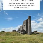
Here’s the route map for this Monyash to Magpie Mine walk.

Magpie Mine Walk Map:

Walk Map (Opens in OS Maps): Magpie Mine Walk Map

Parking: Chapel Street, Monyash SK17 9QJ

Facilities: There is The Bulls Head pub in Monyash

Walk Time: 1-2 hours depending on speed and fitness

Difficulty: ▲▲

Distance: 5.5 miles (8.85 km)

Trig Points Bagged: High Low (private)

Peak District Peaks Bagged: Bole Hill

Peak District Ethels Bagged: Bole Hill


For more walks to discover abandoned industry in the Peak District, you might like:

Bolehill Quarry, Higger Tor and Padley Gorge Walk

Mount Famine, South Head and Chinley Churn Walk

Crowden Circular Walk via Crowden Quarry

Tap to share with your hiking friends!

  • Facebook
  • Email
  • WhatsApp
« Baslow Edge Short Walk | 1.5 Miles
Minninglow Walk and Stanton Moor via High Peak Trail | 18 Miles »

RELATED POSTS

  • Three Shires HeadHow to Find Three Shires Head
  • Ladybower ReservoirLadybower Walk | 6 Miles
  • Lathkill Dale waterfallLathkill Dale Waterfall Walk | 7 Miles
  • Mam Tor Circular Walk from CastletonCastleton to Mam Tor Circular Walk via Cave Dale | 6 Miles

Leave a Reply Cancel reply

Your email address will not be published. Required fields are marked *

FIND YOUR NEXT WALK:

ABOUT ME

Y Garn with Kids - Y Garn via the Devil's Kitchen Walk in Ogwen Valley

Hello! I’m Jo! Welcome to The Wandering Wildflower, an outdoors lifestyle blog focusing on family walks in the Peak District, a place we love exploring. I want to share the Peak District hidden gems and show you there’s so much more than the honeypot places. When I’m not dragging my husband and now 11 year old out on Peak District walks or up mountains, I can be found on planning my next moorland walk or plotting a Geocache walk (and seeing where the nearest pub is!). I love the hills but hate the heights, so trig bagging is – er- fun!


I hope this blog will give you some ideas of places to visit in the Peak District and inspire you and your family to head into the great outdoors.  Thanks for stopping by!

CATEGORIES

  • CIRCULAR WALKS (189)
  • HOLMFIRTH WALKS (27)
  • ISLE OF SKYE WALKS (3)
  • LAKE DISTRICT WALKS (24)
  • LANCASHIRE WALKS (2)
  • LONG PEAK DISTRICT WALKS 10 MILES + (42)
  • MEDIUM WALKS 4-9 MILES (137)
  • PEAK DISTRICT SCRAMBLES (16)
  • PEAK DISTRICT WALKS (205)
  • PEAK DISTRICT WALKS WITH KIDS (76)
  • PEAK DISTRICT WALKS WITH PUBS (60)
  • SCOTLAND WALKS (6)
  • SHORT WALKS UNDER 3 MILES (40)
  • SNOWDONIA WALKS (5)
  • UK CAMPING (5)
  • YORKSHIRE WALKS (33)

Peak District Walks

List of Peak District Ethels

Peak District Peak Bagging

Peak District Trig Point Challenge

Peak District Walks with Pubs

Peak District Walks with Kids

Beautiful Walks in Holmfirth

Short Walks in the Peak District

Long Walks in the Peak District

AFFILIATE DISCLOSURE

This blog may contain affiliate links through which, at no additional cost to you, I may earn a small commission. I only recommend products I would use myself and all opinions expressed here are my own. As an Amazon Associate I earn from qualifying purchases. Read full privacy policy here.

ARCHIVES

PEAK DISTRICT WEATHER

Peak District mountain weather on Met Office

Peak District Trig Points

Promo image for a blog post about the Peak District Trig Point Challenge With Map of Peak District Trig Points and Walking Routes by The Wandering Wildflower

Peak District Ethels Challenge

Promo image for a blog post about the Peak District Trig Point Challenge With Map of Peak District Ethels and Walking Routes by The Wandering Wildflower

WALKING ROUTES STRAIGHT TO YOUR INBOX

Want new walks in your inbox? Drop your email below and I'll send you some ideas for walks you can try.

You can unsubscribe anytime. For more details, review our Privacy Policy.

Thank you!

You have successfully joined our subscriber list.

RSS LATEST POSTS

  • How to Find Three Shires Head
  • Burnbank Fell, Blake Fell and Gavel Fell | 8 Miles
  • Bretton Park Circular Walk | 3 Miles
  • Hathersage Stepping Stones Walk | 7 Miles
  • Peak District Caves

FOLLOW ON PINTEREST

Want new walks in your inbox? Drop your email below and I'll send you some ideas for walks you can try.

You can unsubscribe anytime. For more details, review our Privacy Policy.

Thank you!

You have successfully joined our subscriber list.

jo@thewanderingwildflower.co.uk

The Wandering Wildflower

  • Email
  • Facebook
  • Instagram
  • Pinterest
  • PRIVACY POLICY
  • TERMS & CONDITIONS
  • ABOUT

(c) The Wandering Wildflower. All Rights Reserved.

|| THEME BY ECLAIR DESIGNS