• 3 Mile Walks or Less
  • 4 Mile Walks
  • 5 Mile Walks
  • 6 Mile Walks
  • 7 Mile Walks
  • 8 Mile Walks
  • 9 Mile Walks
  • 10 Mile Walks
  • 11 Mile Walks
  • 12 Mile Walks
  • 14 Mile Walks
  • 15 Mile Walks
  • 20+ Mile Walks

The Wandering Wildflower

Peak District Hikes

  • PEAK DISTRICT WALKS
    • SHORT WALKS UNDER 3 MILES
    • MEDIUM WALKS 4-9 MILES
    • LONG PEAK DISTRICT WALKS 10 MILES +
  • PEAK DISTRICT WALKS WITH PUBS
  • PEAK DISTRICT WALKS WITH KIDS
  • HOLMFIRTH WALKS

Wainwrights: 6 Eastern Martindale Fells

February 25, 2024 LAKE DISTRICT WALKS

This walk explores the Eastern Martindale Fells near Ullswater and heads over Hallin Fell, Steel Knotts, Wether Hill, Loadpot Hill, Arthur’s Pike and Bonscale Pike from St Peter’s Church, Martindale, ticking off 6 Wainwrights along the way.


A view from Hallin Fell summit with the large stone obelisk


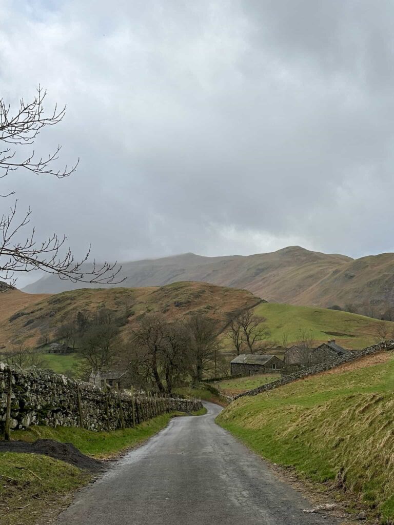
It’s been a while since we visited the Lake District but this half term we had a spare Friday and headed off to Martindale to get some more Wainwrights in the bag. As it’s a 2.5 hour drive from home I always like to make sure I tick as many off as I can (without making the walk unbearable for Hols) so this walk bags the 6 Wainwrights of Hallin Fell (388 m), Steel Knotts (432 m), Wether Hill (671 m), Loadpot Hill (672 m), Arthur’s Pike (533 m) and Bonscale Pike (524 m) in the Eastern Martindale Fells.


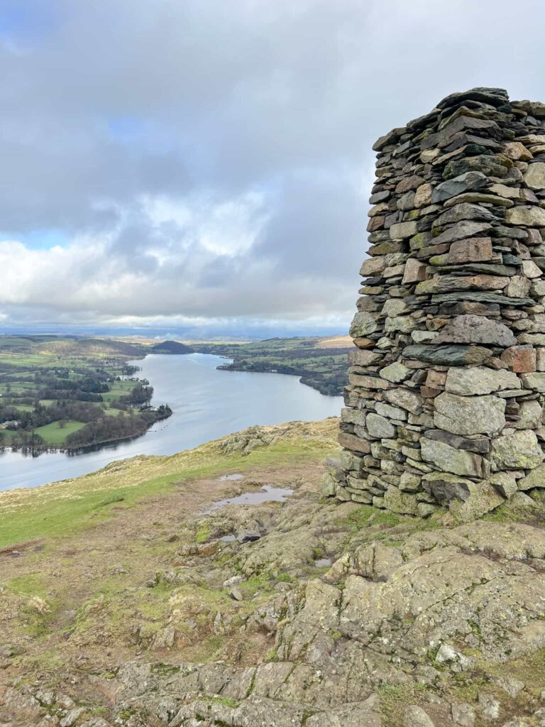
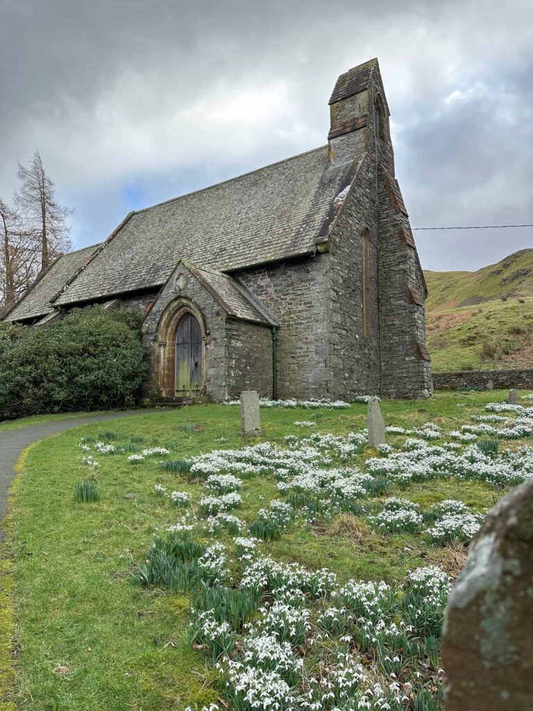
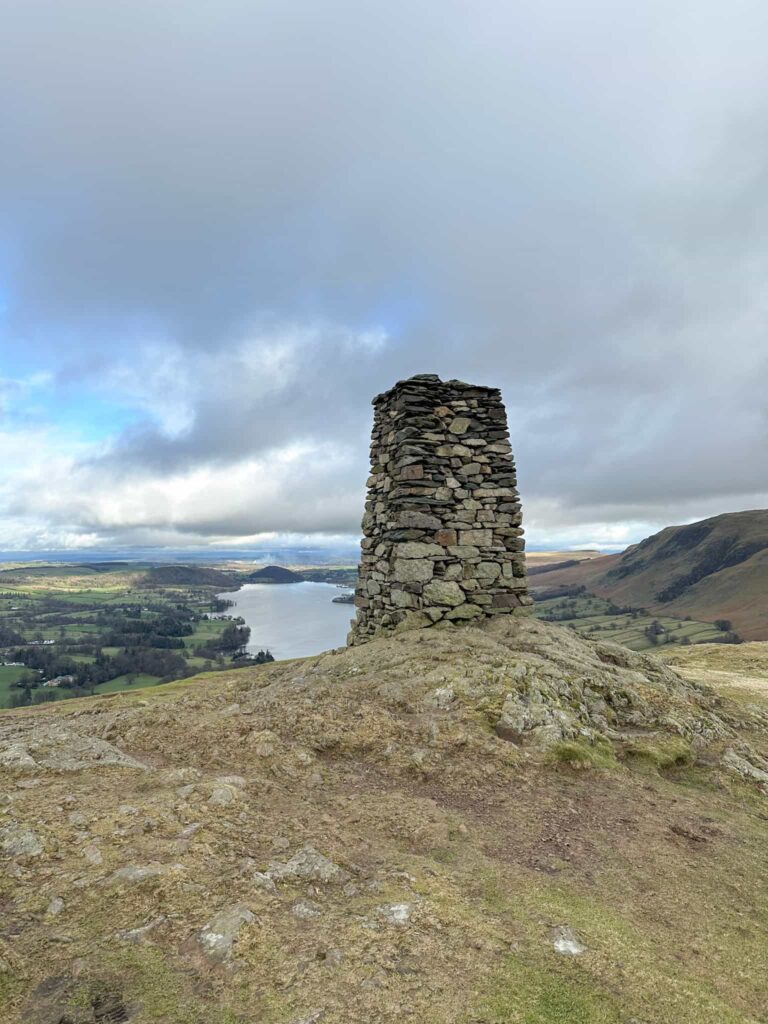
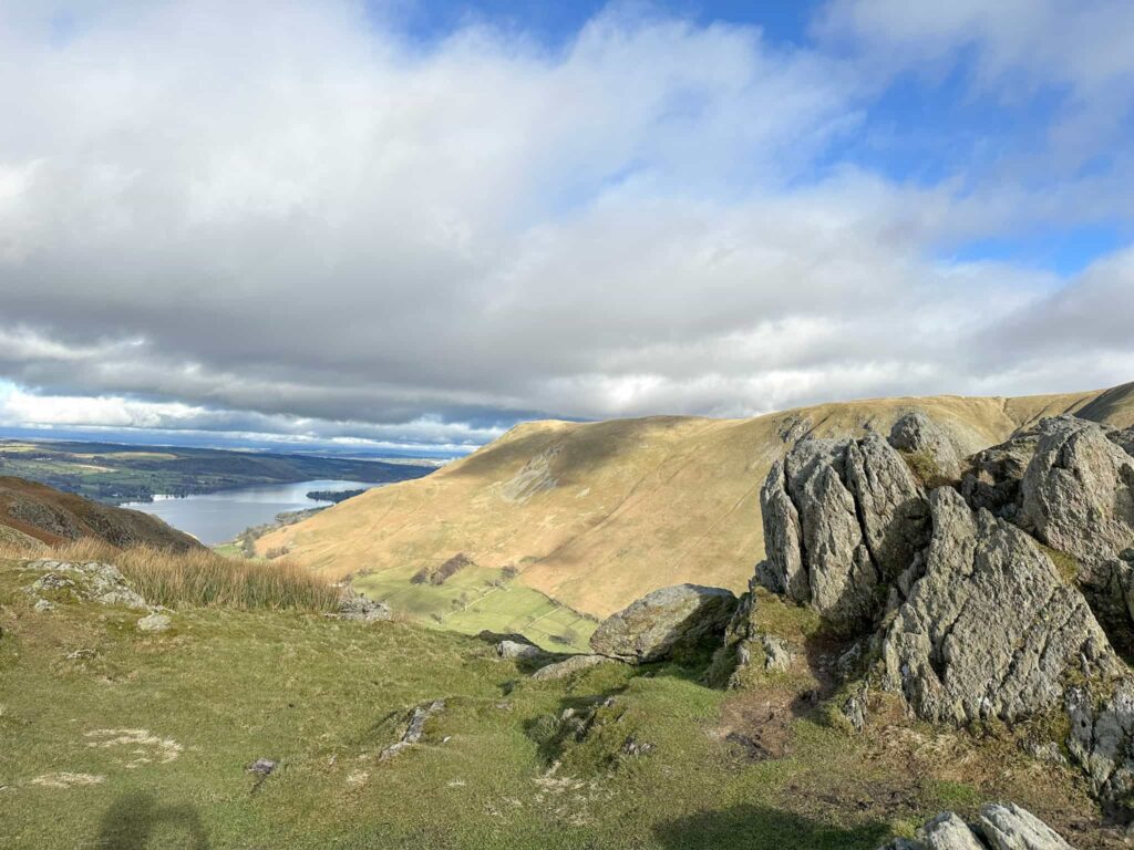
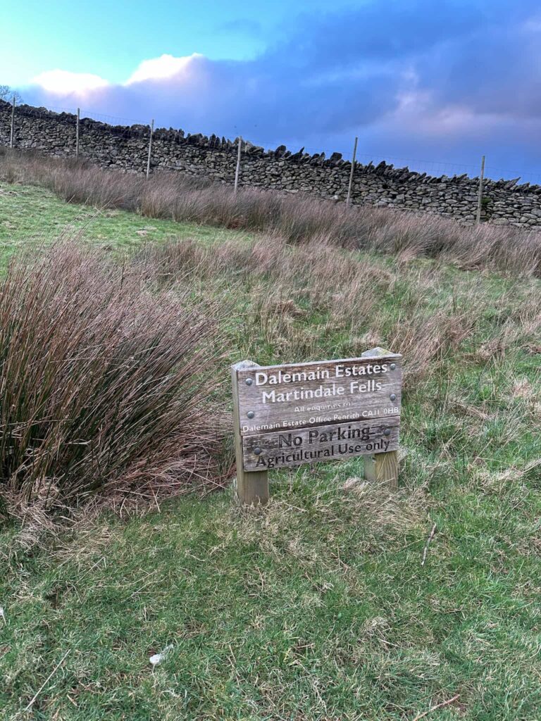
The walk starts from the free car parking area outside St Peter’s Church. We crossed the road and did Hallin Fell as an out and back. It’s a steep climb up to the top where you’re rewarded with a huge obelisk in the shape of a trig point and stunning views over Ullswater. We walked back down the hill to the church then headed off over Binkie Knott towards Steel Knotts.

St Peter's Church, a small grey church building with snowdrops in full bloom in the foreground

A view from Hallin Fell summit with the large stone obelisk

A dry stone wall leading off into the distance with some Lake District fells looming large

A Lake District scene with a single track road leading off into the fells

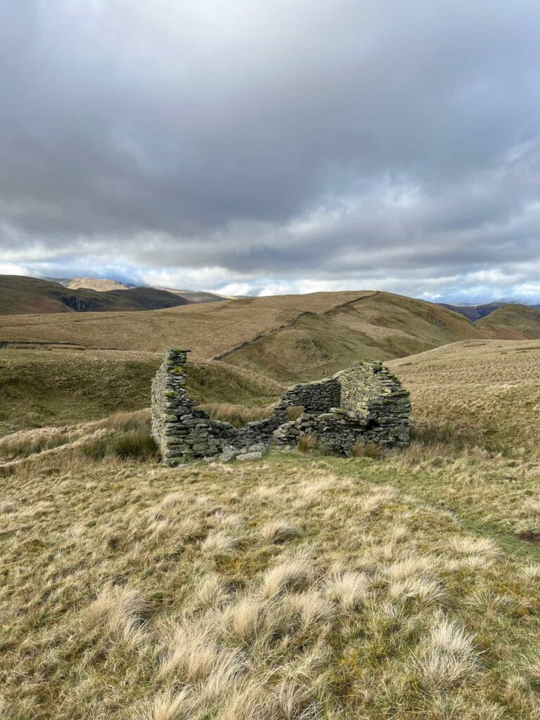
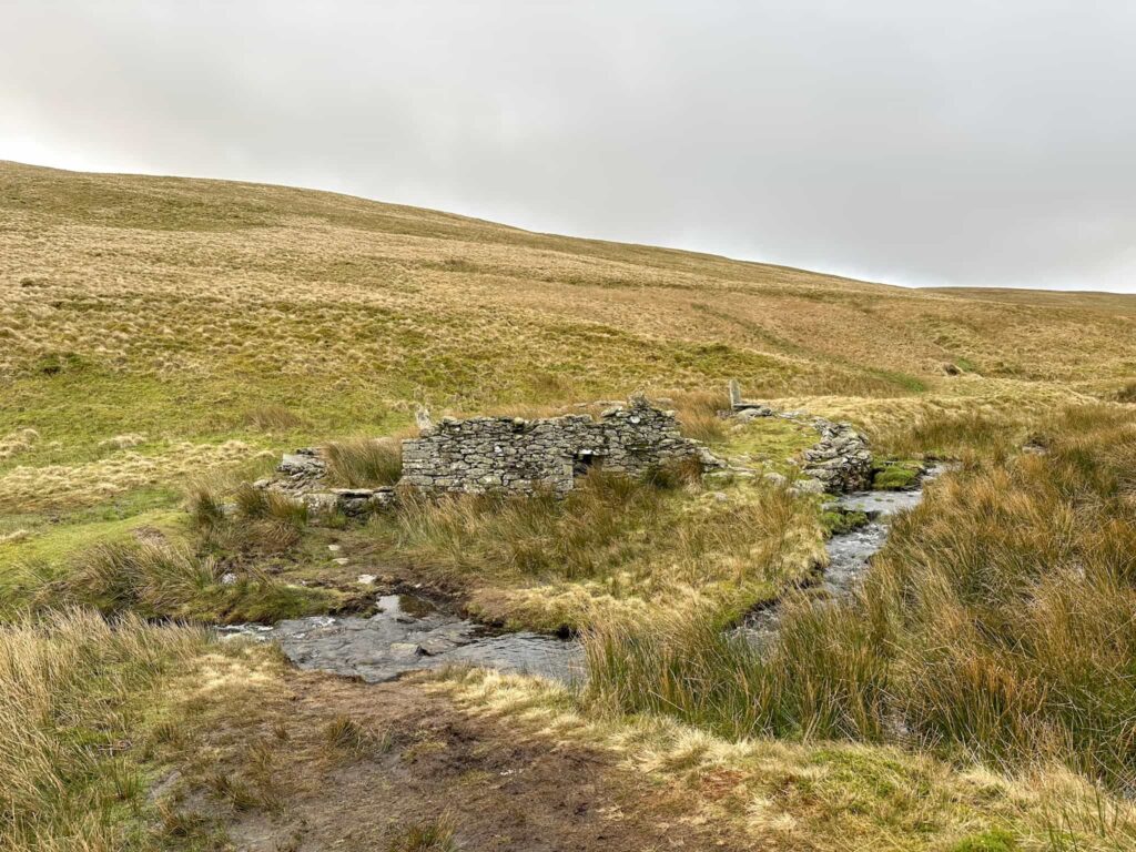
From Steel Knotts we walked south-east towards Brownthwaite Crag before dropping down to the stream near an old ruined farm building.

The view from one of the summits, with a rocky outcrop to the right of the image and a view to Ullswater on the left

A view of the Lake District fells with a dry stone wall running from left to the centre of the image.

A young girl walking off into the fells

A ruined farm building


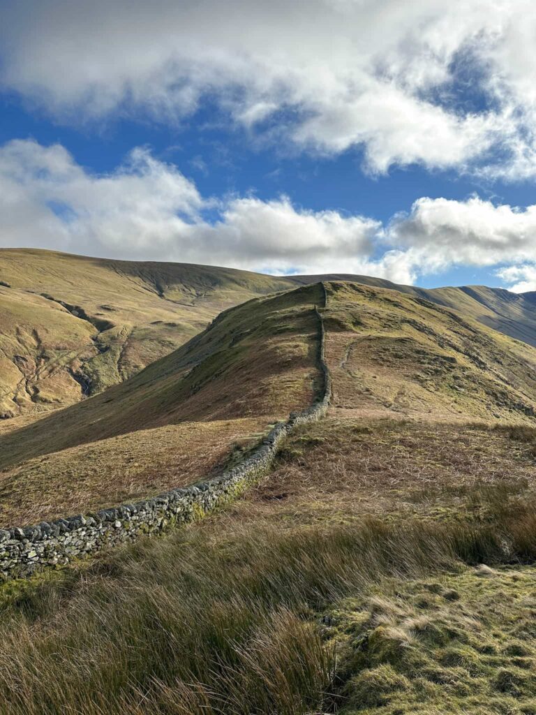
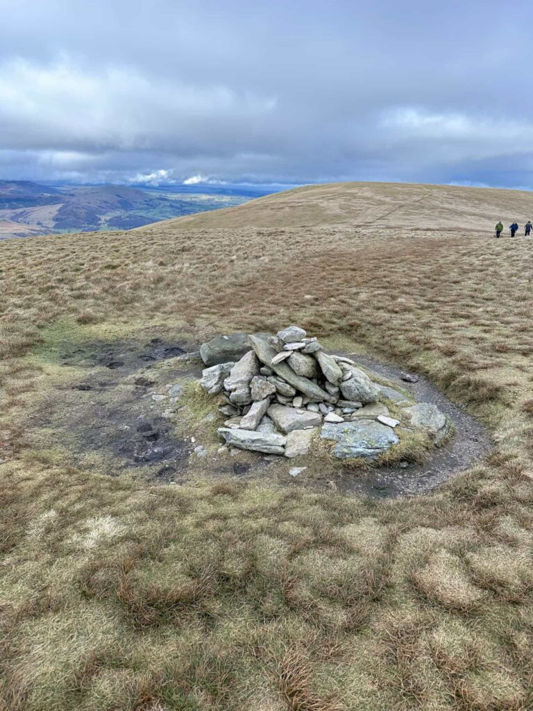
We then climbed up the hillside to reach High Street, the old Roman Road, and find the summit of Wether Hill. There are two high points marked on the OS Map so we went to both, just to be sure we got to the summit!


A small pile of stones marking the summit of Wether Hill

A view of the Martindale Fells


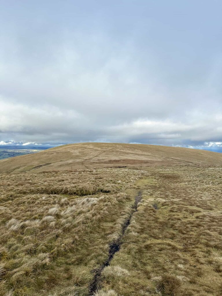
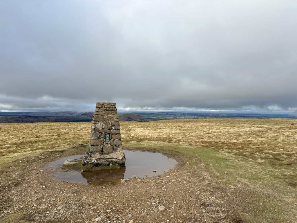
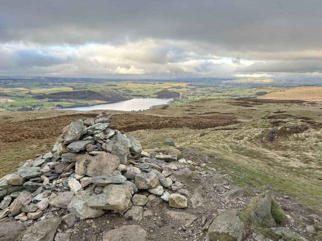
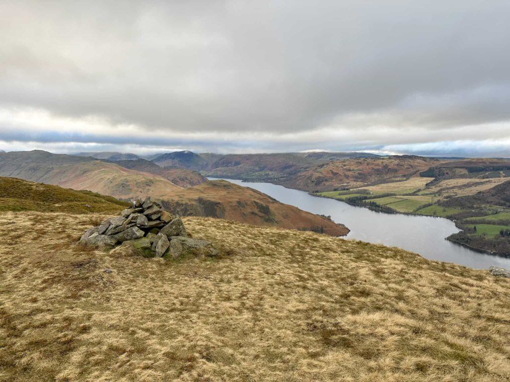
From Wether Hill we set off past the shelter to Loadpot Hill and it’s trig point with built in moat, and then roughly north/north-east to Arthur’s Pike which has stunning views down over Ullswater.


Loadpot Hill trig point

A small stone cairn on top of a hill overlooking Ullswater


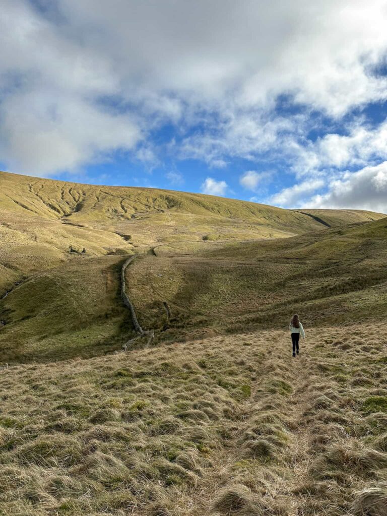
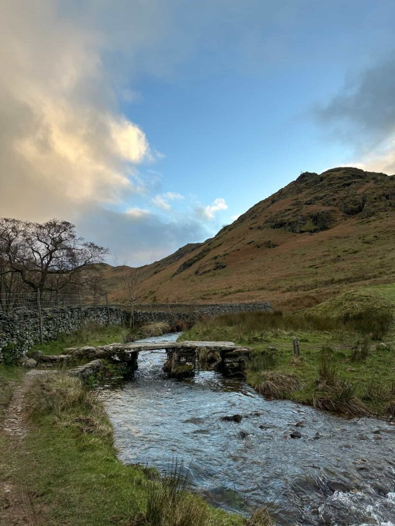
We left Arthur’s Pike and set off south-west to descend to Swarth Beck and another ruined sheepfold, and then east to climb Bonscale Pike.


The ruins of an old sheepfold

A small stone cairn on top of a hill overlooking Ullswater


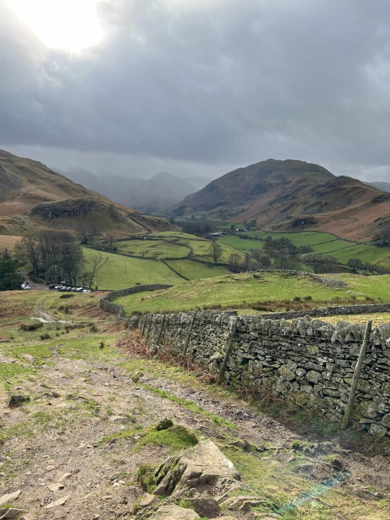
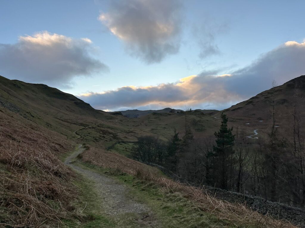
From Bonscale Pike it was a VERY steep descent down Swarth Fell, and all our knees were glad when we reached the valley bottom. We skirted around Steel End and followed the track that ran around the back of the Church (rather than the switchbacks up the road from Howtown) back to the car.


A white cottage at the foot of a Lake District fell

We were so glad to get to the bottom! This is one steep hill that photos can’t do justice

A stone bridge over a stream

A wooden sign

A track in the Lake District with the light fading at the end of the day

The track back to the car. You can just seen the road switchbacks on the right of the photo.

Here’s a list of the Wainwrights by book.


Eastern Martindale Fells Walk Details:


Walk Map (Opens in OS Maps): Eastern Martindale Fells Route GPX

Parking: St Peter’s Church, Martindale Penrith CA10 2NF  W3W///removable.rewarded.trump

Facilities: None

Walk Time: 5-6 hours

Difficulty: ▲▲▲A view from Hallin Fell summit with the large stone obelisk

Distance: 8.9 miles (14.05km)

Trig Points Bagged: Loadpot Hill

Wainwrights Bagged: Hallin Fell, Steel Knotts, Wether Hill, Loadpot Hill, Arthur’s Pike, Bonscale Pike


For more Wainwright walks you might like:

Mardale Horseshoe

Langdale Pikes Circular via Jack’s Rake

Uldale Fells Circular


and check out the list of the Wainwrights by book for a specific fell and walk to bag it.

Tap to share with your hiking friends!

  • Facebook
  • Email
  • WhatsApp
« The Most Beautiful Walks in the Peak District
Holme Valley Circular Walk | 24 Miles »

RELATED POSTS

  • A woman walking on Kinder ScoutKinder Scout via Kinder Low | 9 Miles
  • Boots Folly, a small castle like structureDerwent Edge, Derwent Moors and Boots Folly | 8.5 Miles
  • The Cup rock formation at Fairbrook NazeFair Brook Scramble to Kinder Scout Northern Edges | 9 Miles
  • A view out of the cave mouth from the insideRydal Cave Walk, Ambleside | 2 Miles

Leave a Reply Cancel reply

Your email address will not be published. Required fields are marked *

FIND YOUR NEXT WALK:

ABOUT ME

Y Garn with Kids - Y Garn via the Devil's Kitchen Walk in Ogwen Valley

Hello! I’m Jo! Welcome to The Wandering Wildflower, an outdoors lifestyle blog focusing on family walks in the Peak District, a place we love exploring. I want to share the Peak District hidden gems and show you there’s so much more than the honeypot places. When I’m not dragging my husband and now 11 year old out on Peak District walks or up mountains, I can be found on planning my next moorland walk or plotting a Geocache walk (and seeing where the nearest pub is!). I love the hills but hate the heights, so trig bagging is – er- fun!


I hope this blog will give you some ideas of places to visit in the Peak District and inspire you and your family to head into the great outdoors.  Thanks for stopping by!

CATEGORIES

  • CIRCULAR WALKS (189)
  • HOLMFIRTH WALKS (27)
  • ISLE OF SKYE WALKS (3)
  • LAKE DISTRICT WALKS (24)
  • LANCASHIRE WALKS (2)
  • LONG PEAK DISTRICT WALKS 10 MILES + (42)
  • MEDIUM WALKS 4-9 MILES (137)
  • PEAK DISTRICT SCRAMBLES (16)
  • PEAK DISTRICT WALKS (205)
  • PEAK DISTRICT WALKS WITH KIDS (76)
  • PEAK DISTRICT WALKS WITH PUBS (60)
  • SCOTLAND WALKS (6)
  • SHORT WALKS UNDER 3 MILES (40)
  • SNOWDONIA WALKS (5)
  • UK CAMPING (5)
  • YORKSHIRE WALKS (33)

Peak District Walks

List of Peak District Ethels

Peak District Peak Bagging

Peak District Trig Point Challenge

Peak District Walks with Pubs

Peak District Walks with Kids

Beautiful Walks in Holmfirth

Short Walks in the Peak District

Long Walks in the Peak District

AFFILIATE DISCLOSURE

This blog may contain affiliate links through which, at no additional cost to you, I may earn a small commission. I only recommend products I would use myself and all opinions expressed here are my own. As an Amazon Associate I earn from qualifying purchases. Read full privacy policy here.

ARCHIVES

PEAK DISTRICT WEATHER

Peak District mountain weather on Met Office

Peak District Trig Points

Promo image for a blog post about the Peak District Trig Point Challenge With Map of Peak District Trig Points and Walking Routes by The Wandering Wildflower

Peak District Ethels Challenge

Promo image for a blog post about the Peak District Trig Point Challenge With Map of Peak District Ethels and Walking Routes by The Wandering Wildflower

WALKING ROUTES STRAIGHT TO YOUR INBOX

Want new walks in your inbox? Drop your email below and I'll send you some ideas for walks you can try.

You can unsubscribe anytime. For more details, review our Privacy Policy.

Thank you!

You have successfully joined our subscriber list.

RSS LATEST POSTS

  • How to Find Three Shires Head
  • Burnbank Fell, Blake Fell and Gavel Fell | 8 Miles
  • Bretton Park Circular Walk | 3 Miles
  • Hathersage Stepping Stones Walk | 7 Miles
  • Peak District Caves

FOLLOW ON PINTEREST

Want new walks in your inbox? Drop your email below and I'll send you some ideas for walks you can try.

You can unsubscribe anytime. For more details, review our Privacy Policy.

Thank you!

You have successfully joined our subscriber list.

jo@thewanderingwildflower.co.uk

The Wandering Wildflower

  • Email
  • Facebook
  • Instagram
  • Pinterest
  • PRIVACY POLICY
  • TERMS & CONDITIONS
  • ABOUT

(c) The Wandering Wildflower. All Rights Reserved.

|| THEME BY ECLAIR DESIGNS