• 3 Mile Walks or Less
  • 4 Mile Walks
  • 5 Mile Walks
  • 6 Mile Walks
  • 7 Mile Walks
  • 8 Mile Walks
  • 9 Mile Walks
  • 10 Mile Walks
  • 11 Mile Walks
  • 12 Mile Walks
  • 14 Mile Walks
  • 15 Mile Walks
  • 20+ Mile Walks

The Wandering Wildflower

Peak District Hikes

  • PEAK DISTRICT WALKS
    • SHORT WALKS UNDER 3 MILES
    • MEDIUM WALKS 4-9 MILES
    • LONG PEAK DISTRICT WALKS 10 MILES +
  • PEAK DISTRICT WALKS WITH PUBS
  • PEAK DISTRICT WALKS WITH KIDS
  • HOLMFIRTH WALKS

Whitwell Moor Trig Point | 4 Miles

January 16, 2023 CIRCULAR WALKS, MEDIUM WALKS 4-9 MILES, PEAK DISTRICT WALKS, PEAK DISTRICT WALKS WITH KIDS, PEAK DISTRICT WALKS WITH PUBS

This is a short walk up to Whitwell Moor trig point from Underbank Reservoir. At 4 miles, this is a perfect walk for a Sunday and you could stop off at The Olde Mustard Pot on Mortimer Road for some lunch.

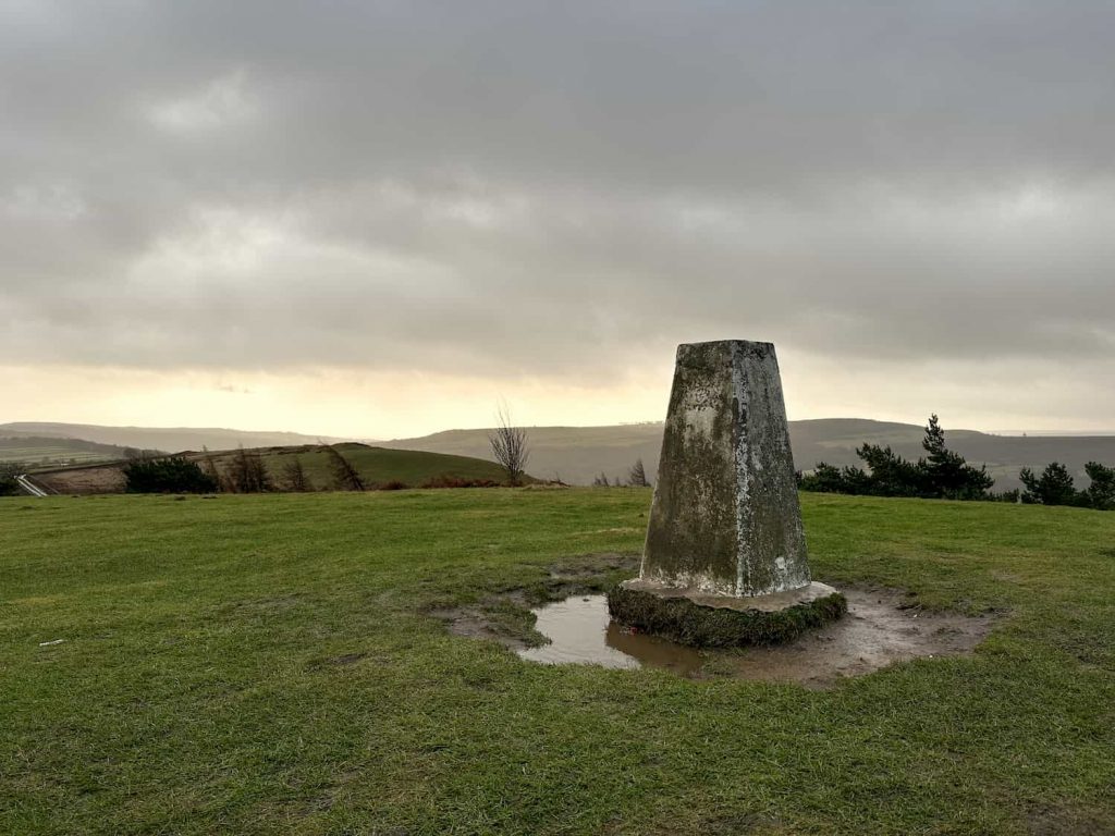
Whitwell Moor is near Stocksbridge and the summit of the hill, where Whitwell Moor trig point is, is at 359m above sea level. Surrounded by beautiful moorland the trig has great views over the local area. I suspect this will be one of the least visited trig points in the Peak District trig point challenge!


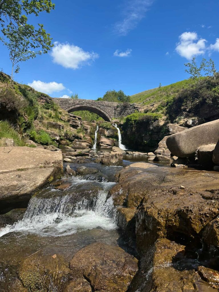
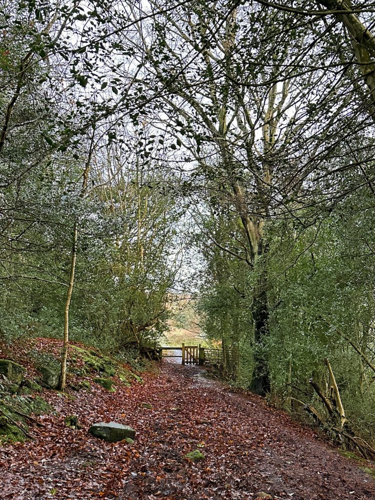
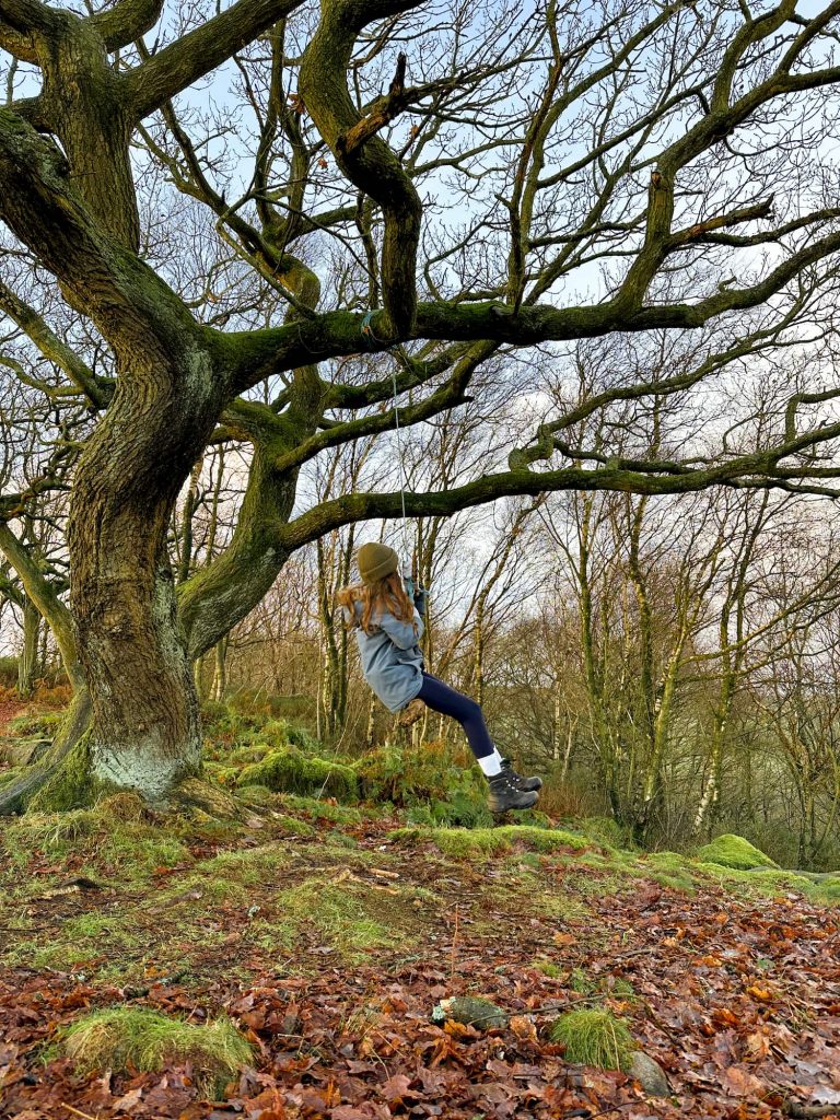
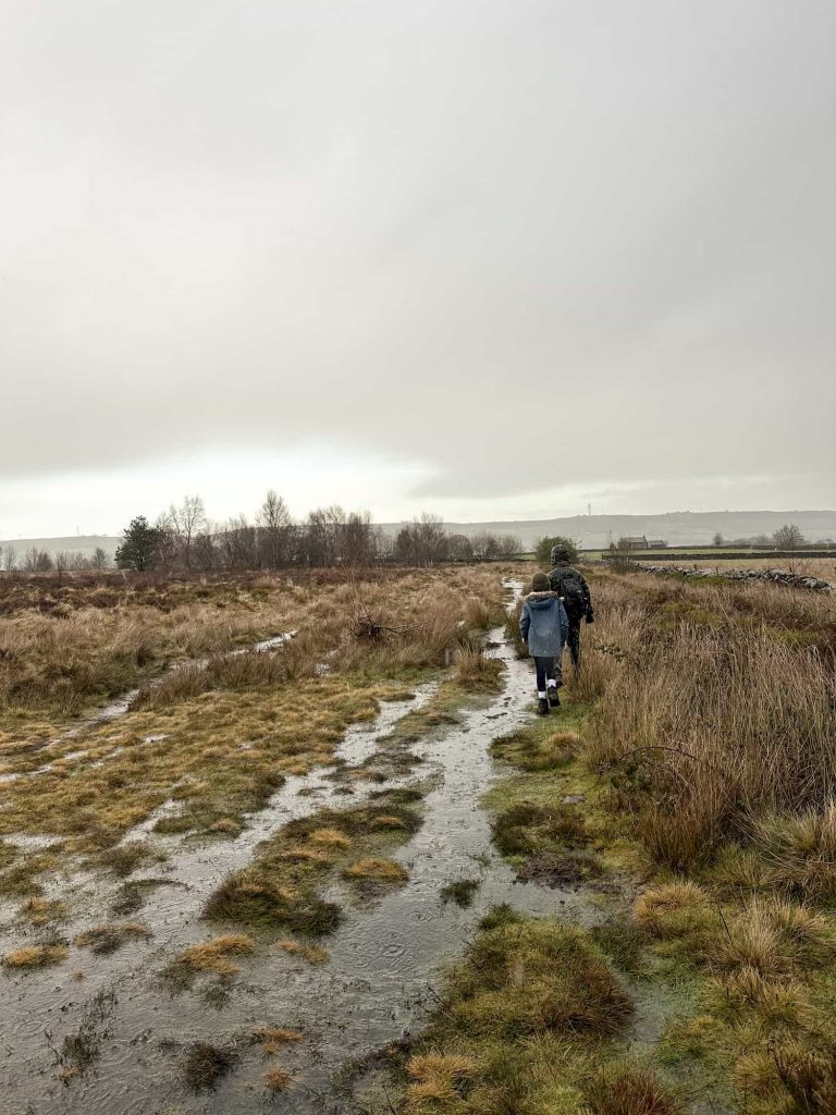
Our walk starts in the car park near the Underbank Outdoor Activity Centre and heads out onto the road before turning off up a wooded public footpath. This was really muddy when we went! After the mud, the gate opens onto rolling green fields and we headed through the field towards Wind Knoll Bank. In the woods there we found a gritstone edge and a rope swing – happy days!

A very muddy path

A wooden gate at the end of a woodland lane

A girl in a blue coat on a rope swing in a wood

A birch woodland with gritstone outcrops near Whitwell Moor

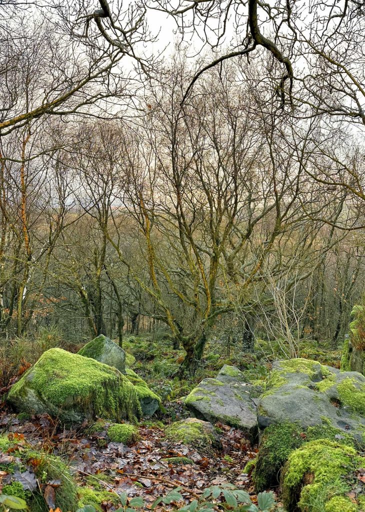
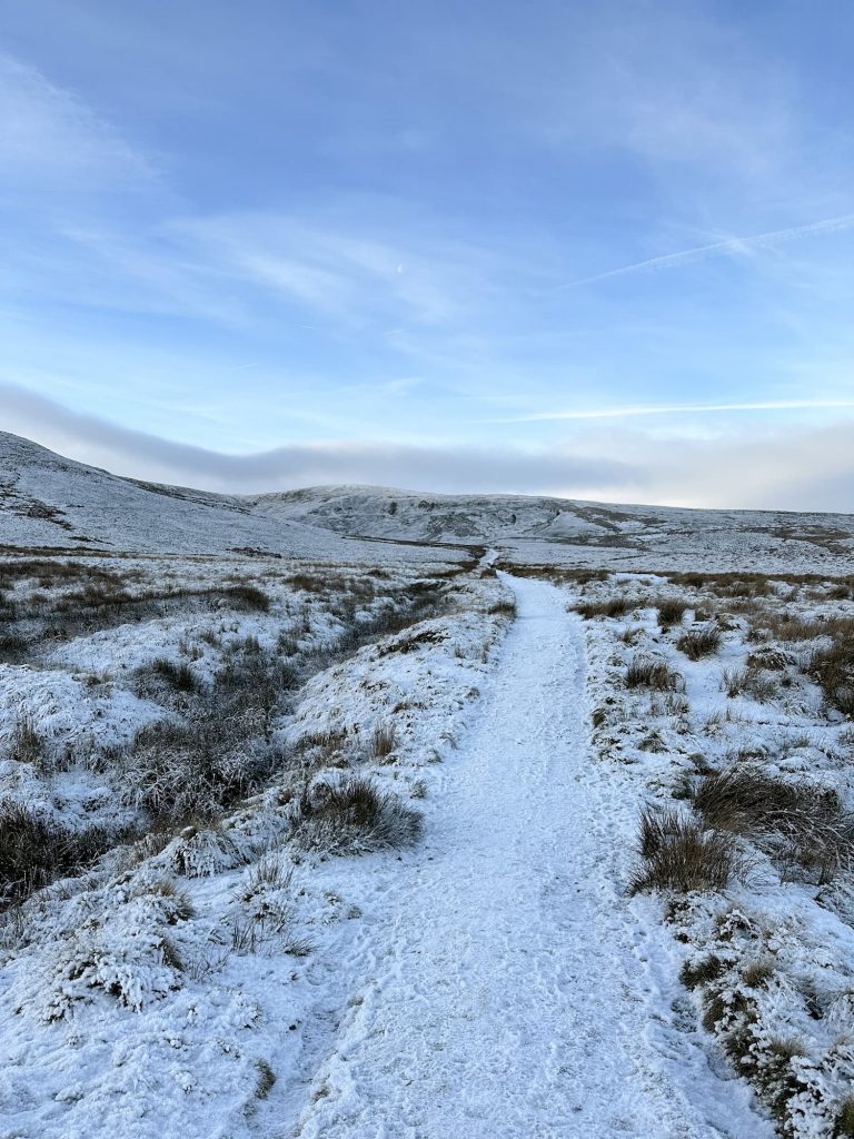
We carried on through the woods until the path joined a road, and then we crossed and headed into the woods. These woods would be beautiful in Autumn when the beech trees start to change colour! We wandered through the woods until they ended, and then we were on the moorland top with views down over Broomhead Moor.

A row of beech trees near Whitwell Moor

The Whitwell Moor trig point is really easy to spot! We took a couple of photos and then set off towards Hunger Hill Farm.

Whitwell Moor trig point


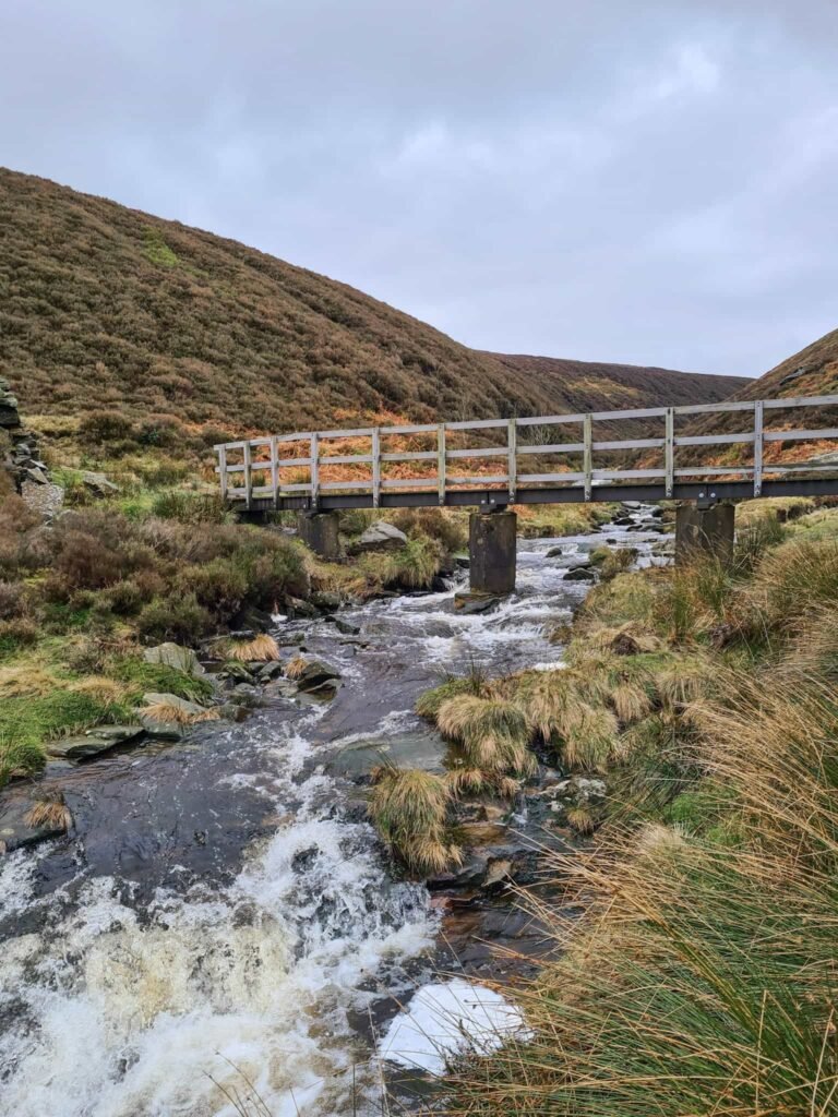
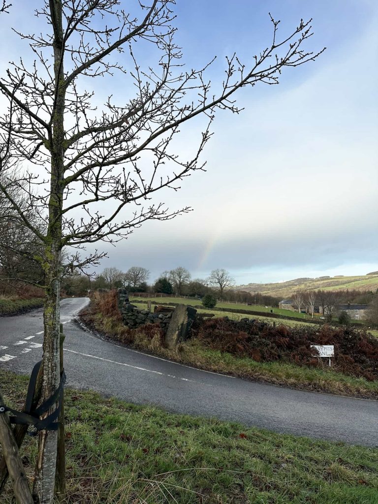
There is a footpath here which leads down the delightfully named Mucky Lane (and it definitely was!) before ending at the junction of Long Lane and New Hall Lane.

A very boggy moorland near Whitwell Moor

We followed New Hall Lane as it wound its way north-east and then at the road junction with the bench after Machin Farm we headed down Clay Pits Lane and then took a farm track through the woods just for a bit of variety. It ends up at the same place as New Hall Lane, and then we walked a bit further to reach the car park.

A rainbow in a stormy sky

This was a lovely gentle New Years Day walk, and it’s another Peak District trig point ticked off (although it’s actually just outside the boundary of the Peak District, according to the OS Map).


Whitwell Moor Trig Point Walk Map: 

You can click on the map to download the GPX file from Komoot.


Walk Map (Opens in OS Maps): Whitwell Moor Trig Walk

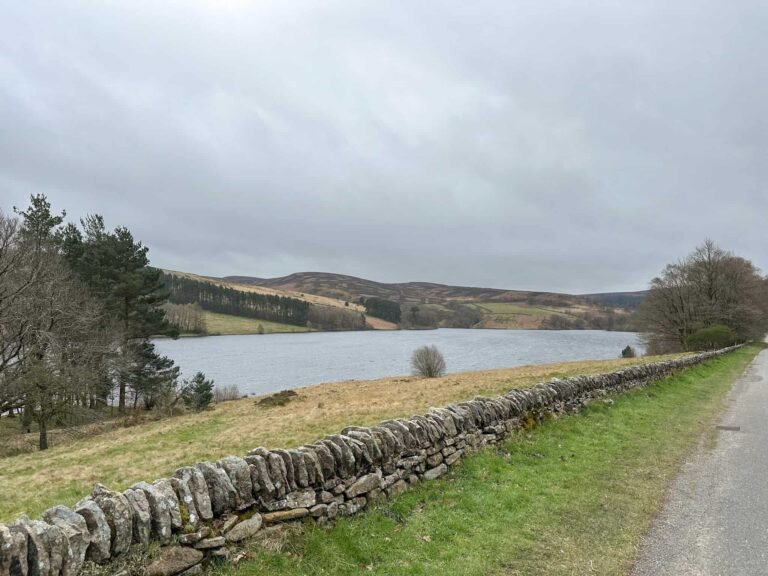
Parking: Underbank Reservoir Car Park S36 4GH – W3W:///daring.forms.comply

Facilities: None

Walk Time: 1-2 hours depending on speed and fitness

Difficulty: ▲

Distance: 4 miles (6.43km)

Trig Points Bagged: Whitwell Moor

Peak District Peaks Bagged: None

Peak District Ethels Bagged: None


You might also like this Underbank Reservoir Walk.

Tap to share with your hiking friends!

  • Facebook
  • Email
  • WhatsApp
« Kinder Scout Dog Stone via Sandy Heys and Cluther Rocks | 8 Miles
Curbar Edge Walk with Froggatt Edge and White Edge | 6 Miles »

RELATED POSTS

  • Hathersage Stepping StonesHathersage Stepping Stones Walk | 7 Miles
  • Ladybower ReservoirLadybower Walk | 6 Miles
  • Anvil Stone, GrindsbrookGrindsbrook Clough Scramble to Grindslow Knoll | 7 Miles
  • Overflowing Ladybower Reservoir Plugholes by The Wandering WildflowerLadybower Reservoir Plugholes

Leave a Reply Cancel reply

Your email address will not be published. Required fields are marked *

FIND YOUR NEXT WALK:

ABOUT ME

Y Garn with Kids - Y Garn via the Devil's Kitchen Walk in Ogwen Valley

Hello! I’m Jo! Welcome to The Wandering Wildflower, an outdoors lifestyle blog focusing on family walks in the Peak District, a place we love exploring. I want to share the Peak District hidden gems and show you there’s so much more than the honeypot places. When I’m not dragging my husband and now 11 year old out on Peak District walks or up mountains, I can be found on planning my next moorland walk or plotting a Geocache walk (and seeing where the nearest pub is!). I love the hills but hate the heights, so trig bagging is – er- fun!


I hope this blog will give you some ideas of places to visit in the Peak District and inspire you and your family to head into the great outdoors.  Thanks for stopping by!

CATEGORIES

  • CIRCULAR WALKS (188)
  • HOLMFIRTH WALKS (27)
  • ISLE OF SKYE WALKS (3)
  • LAKE DISTRICT WALKS (24)
  • LANCASHIRE WALKS (2)
  • LONG PEAK DISTRICT WALKS 10 MILES + (42)
  • MEDIUM WALKS 4-9 MILES (136)
  • PEAK DISTRICT SCRAMBLES (16)
  • PEAK DISTRICT WALKS (202)
  • PEAK DISTRICT WALKS WITH KIDS (75)
  • PEAK DISTRICT WALKS WITH PUBS (60)
  • SCOTLAND WALKS (6)
  • SHORT WALKS UNDER 3 MILES (40)
  • SNOWDONIA WALKS (5)
  • UK CAMPING (5)
  • YORKSHIRE WALKS (33)

Peak District Walks

List of Peak District Ethels

Peak District Peak Bagging

Peak District Trig Point Challenge

Peak District Walks with Pubs

Peak District Walks with Kids

Beautiful Walks in Holmfirth

Short Walks in the Peak District

Long Walks in the Peak District

AFFILIATE DISCLOSURE

This blog may contain affiliate links through which, at no additional cost to you, I may earn a small commission. I only recommend products I would use myself and all opinions expressed here are my own. As an Amazon Associate I earn from qualifying purchases. Read full privacy policy here.

ARCHIVES

PEAK DISTRICT WEATHER

Peak District mountain weather on Met Office

Peak District Trig Points

Promo image for a blog post about the Peak District Trig Point Challenge With Map of Peak District Trig Points and Walking Routes by The Wandering Wildflower

Peak District Ethels Challenge

Promo image for a blog post about the Peak District Trig Point Challenge With Map of Peak District Ethels and Walking Routes by The Wandering Wildflower

WALKING ROUTES STRAIGHT TO YOUR INBOX

Want new walks in your inbox? Drop your email below and I'll send you some ideas for walks you can try.

You can unsubscribe anytime. For more details, review our Privacy Policy.

Thank you!

You have successfully joined our subscriber list.

RSS LATEST POSTS

  • Burnbank Fell, Blake Fell and Gavel Fell | 8 Miles
  • Bretton Park Circular Walk | 3 Miles
  • Hathersage Stepping Stones Walk | 7 Miles
  • Ladybower Walk | 6 Miles
  • Derbyshire Peak District Walks

FOLLOW ON PINTEREST

Want new walks in your inbox? Drop your email below and I'll send you some ideas for walks you can try.

You can unsubscribe anytime. For more details, review our Privacy Policy.

Thank you!

You have successfully joined our subscriber list.

jo@thewanderingwildflower.co.uk

The Wandering Wildflower

  • Email
  • Facebook
  • Instagram
  • Pinterest
  • PRIVACY POLICY
  • TERMS & CONDITIONS
  • ABOUT

(c) The Wandering Wildflower. All Rights Reserved.

|| THEME BY ECLAIR DESIGNS