Hartington and the Upper Dove Valley | 6 Miles
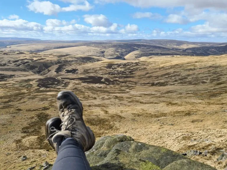
Just a short distance from the popular village of Hartington, this 6-mile circular walk escapes the crowds and is a high-level circuit through the sweeping countryside and farmland of the Upper Dove Valley. Expect big views, quiet lanes and beautiful countryside.
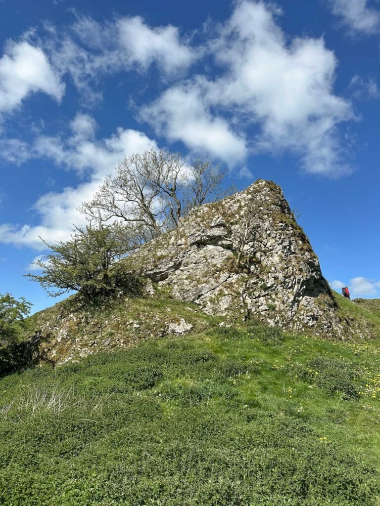
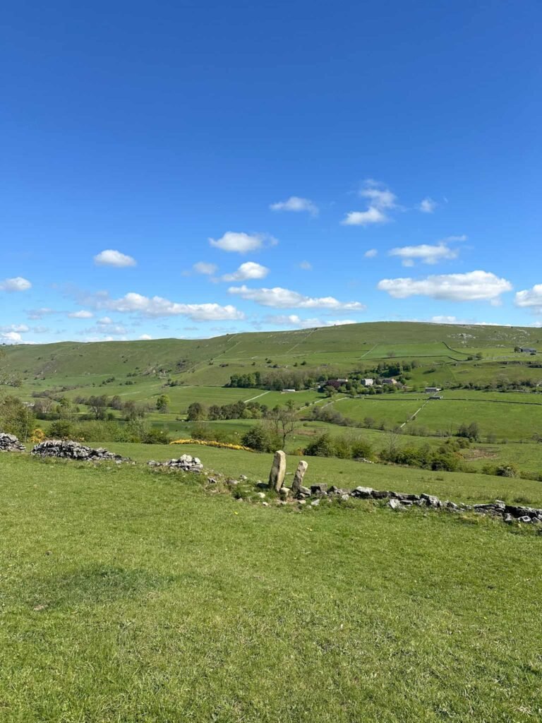
A highlight of the walk is the remains of Pilsbury Castle, a Norman motte-and-bailey fortification that sits dramatically above the River Dove. Away from the honeypots of the White Peak, this is a walk for those who want to see the Peak District at its most peaceful and unspoilt.
At a Glance
- Distance: 6 miles
- Difficulty: Moderate
- Route type: Circular
- Start point: Hartington village
- Terrain: Farmland, high-level paths, riverside valley
- Facilities: Cafes, pubs, toilets and car park in Hartington
Walk Highlights
- Exploring the remains of Pilsbury Castle – a Norman motte-and-bailey fortification dating from the 11th or 12th century, sitting in a commanding position above the River Dove
- Walking through the Upper Dove Valley, a quieter and more peaceful stretch of the Dove well away from the crowds of Dovedale to the south
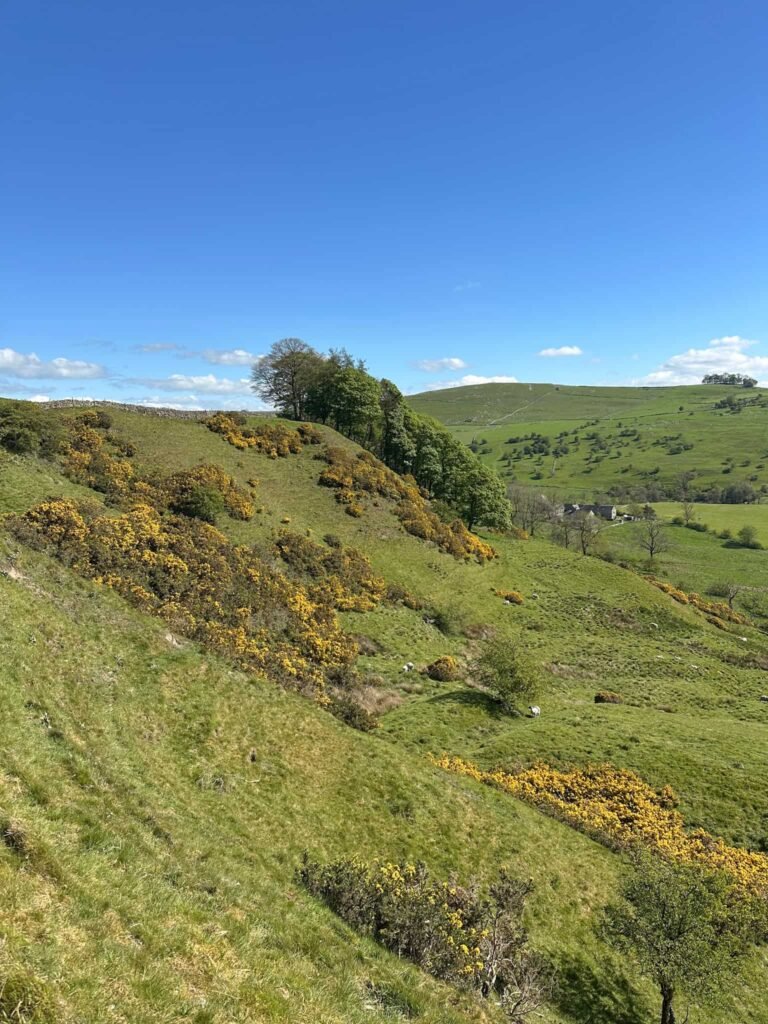
- High-level paths with sweeping views across the White Peak plateau and the valley below
- Traditional Peak District farmland – stone-walled fields, flower-rich meadows and quiet farm tracks that are filled with wildflowers and birdlife in spring and summer
- Starting and finishing in Hartington, a classic Peak District village with a famous Stilton cheese dairy, a duck pond and some great cafes and pubs for post-walk refreshment
This blog may contain affiliate links through which, at no additional cost to you, I may earn a small commission. I only recommend products I would use myself and all opinions expressed here are my own. Read full privacy policy here.
This walk is based on a walk from ‘Short Circular Walks in the Peak District’ by John N Merrill.
Frequently Asked Questions
How long does the Hartington and Pilsbury Castle Walk take?
Most walkers complete this 6-mile circuit in around 2.5 to 3.5 hours. Allow extra time if you want to explore the castle remains or stop for lunch – Hartington has several good cafes and pubs at the start and finish.
Is this walk suitable for beginners?
This walk is best suited to those with some walking experience. The high-level sections involve moderate ascents and the terrain can be uneven in places. That said, there are no technical difficulties and confident beginners in good footwear should manage it comfortably.
Where do you park for the Hartington walk?
There is a pay-and-display car park in Hartington village, which is the most convenient starting point for this walk. It can fill up quickly on busy weekends, so an early start is recommended – particularly in summer. It’s only £2.20 all day (as of May 2026).
What is Pilsbury Castle?
Pilsbury Castle is a ruined Norman motte-and-bailey fortification in the Upper Dove Valley, believed to date from the 11th or 12th century. Only the earthworks remain today, but the site is a scheduled ancient monument and one of the most interesting historical landmarks in this part of the Peak District.
Is the walk dog-friendly?
Yes, dogs are welcome on this route. Keep them on a lead when passing through fields with livestock, which is common along this walk. Hartington also has dog-friendly cafes and pubs if you want to refuel after the walk.
What is the best time of year to do this walk?
This walk is enjoyable year-round, but spring and early summer are probably best when the valley meadows are full of wildflowers. Autumn brings beautiful colours to the landscape, while winter walks offer solitude and dramatic skies – just be prepared for muddy paths and wear appropriate footwear.
Hartington and the Upper Dove Valley Walk
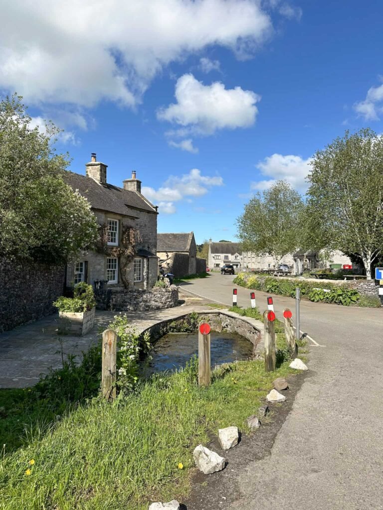
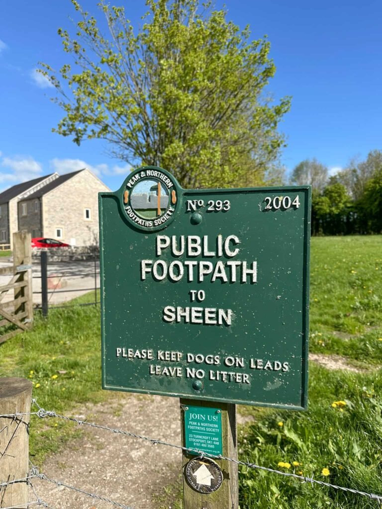
The route starts from Parsons Field pay and display car park in Hartington and we walked north into the centre of the village, passing a B&B and the Charles Cotton Hotel on the left. We turned the corner, passing a small pond/drainage channel, and followed Stonewell Lane until we reached one of the Peak and Northern Footpaths Society green signs (for Sheen).
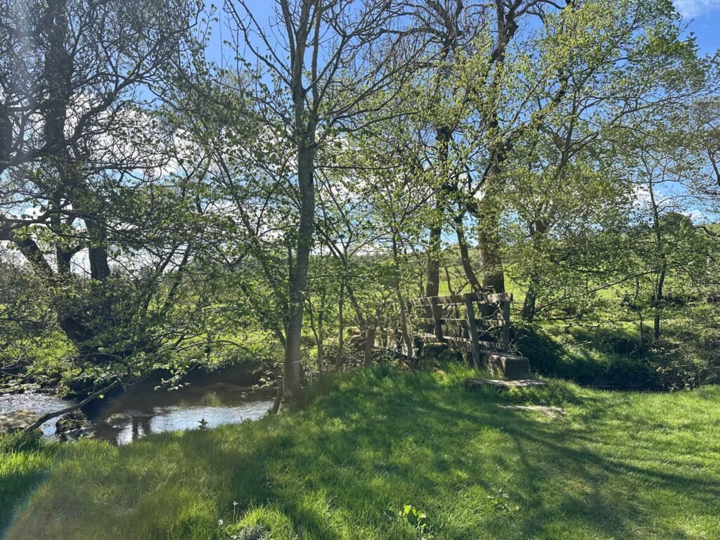
We walked through the field, continuing over stiles until we reached the footbridge over the River Dove. Crossing the river means you leave Derbyshire and are now in Staffordshire.
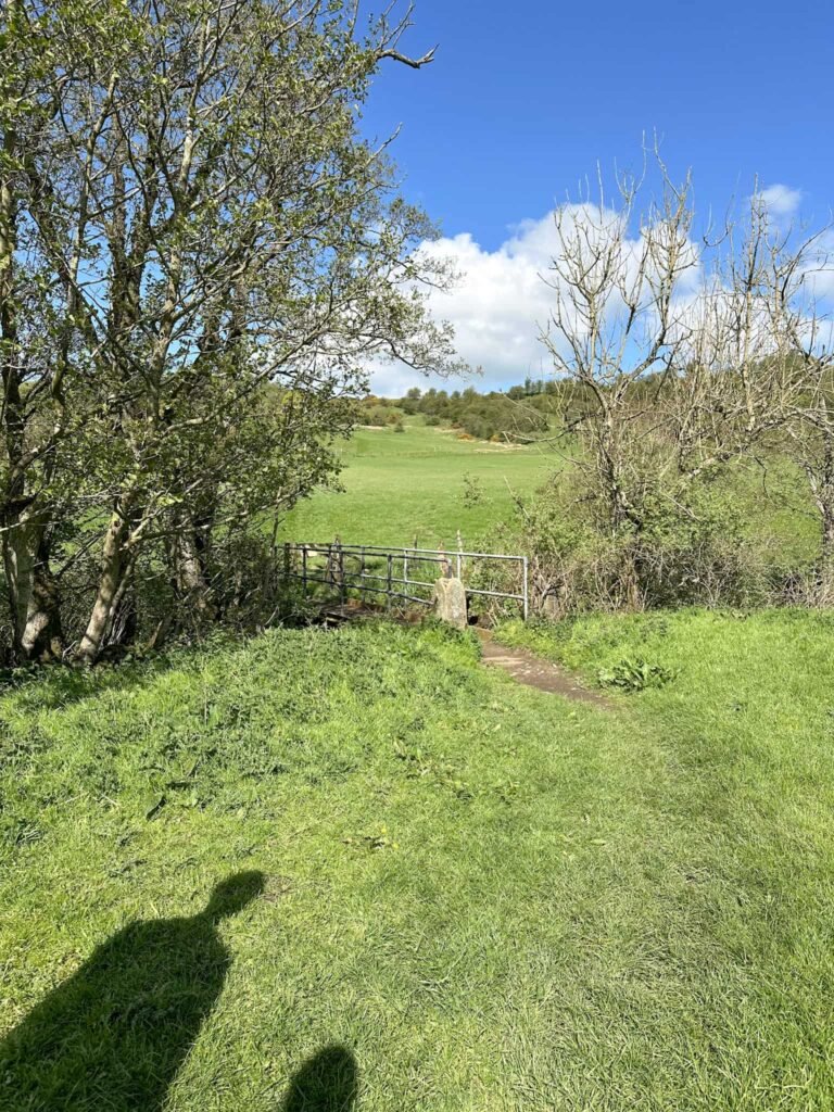
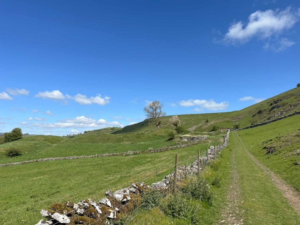
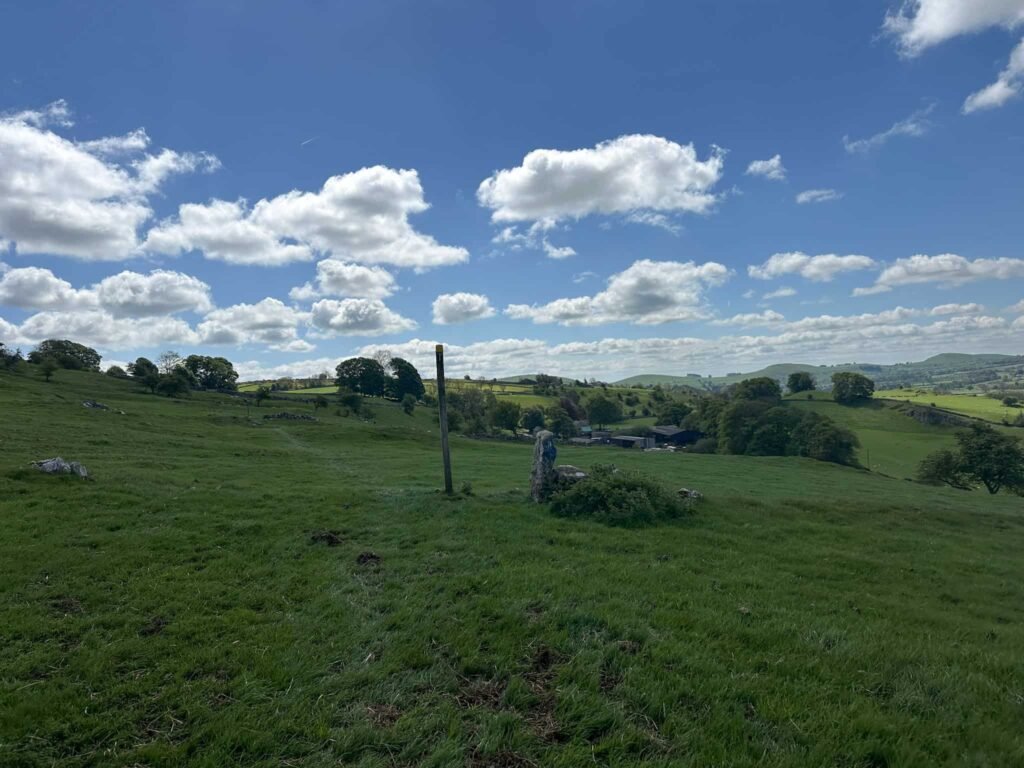
We continued up the field to reach a gate with another PNFS sign for Townend. We turned right onto the rough track and followed this up the hill, passing another PNFS sign for Harris Close. Over the stile the path climbs uphill and into a small pine woodland, before emerging onto a hilltop with stunning views.
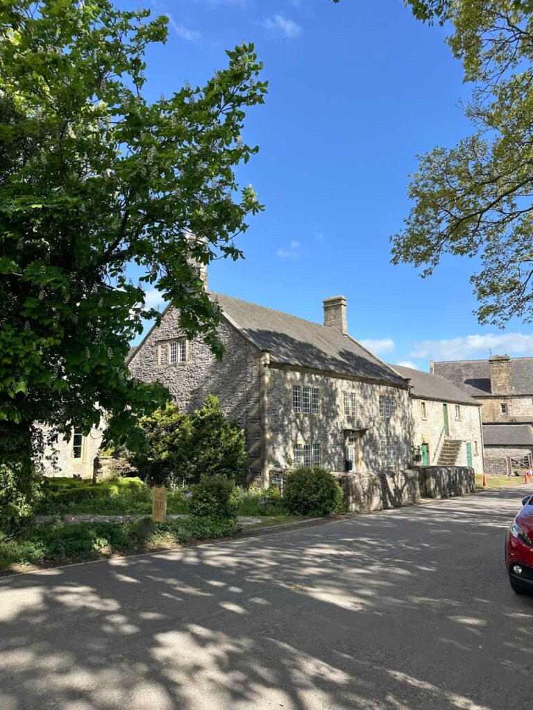
The path carries on over yet more fields and stiles, with views of Sheen Hill and it’s trig point, passing through Harris Close (a farmyard). Turning right onto the road, after a short distance we picked up another footpath on the right which leads into a small copse of trees and then runs along the back of a rather lovely house, before emerging into open fields.
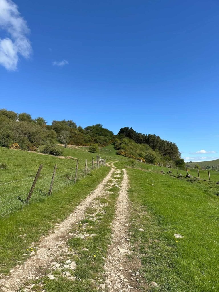
The route descends through the fields and makes for a small wooded area. Here there’s another bridge over the River Dove, taking us back into Derbyshire. We climbed up to meet the farm track and turned left, following the track along to Pilsbury Castle.
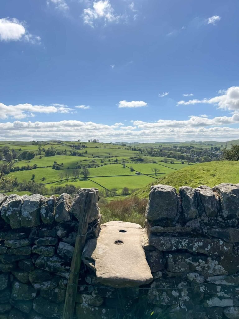
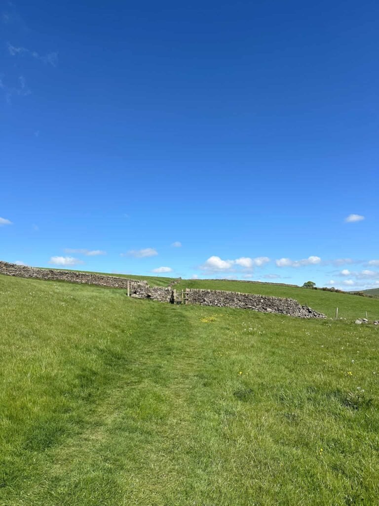
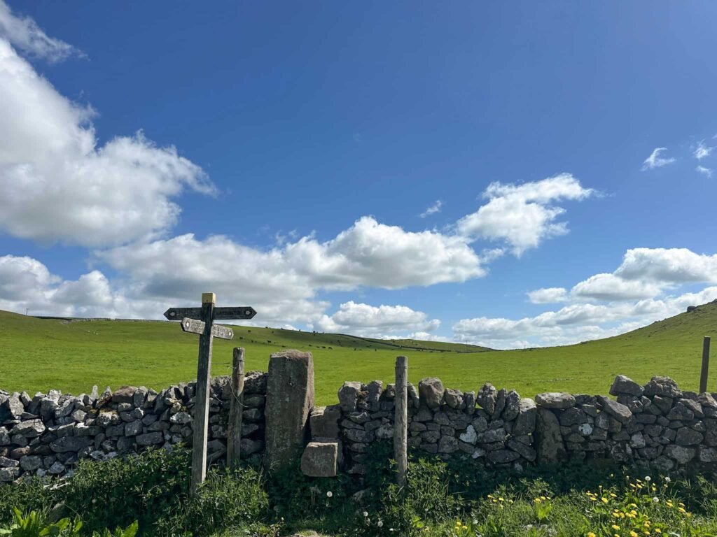
After we’d had an explore there we retraced our steps and rejoined the road, following this uphill to pick up a footpath on the right running over the field to a wall. Turning right at this stile and following the line of the wall uphill, we reached another stile and then the footpath emerges onto Open Access Land at the base of Carder Low.
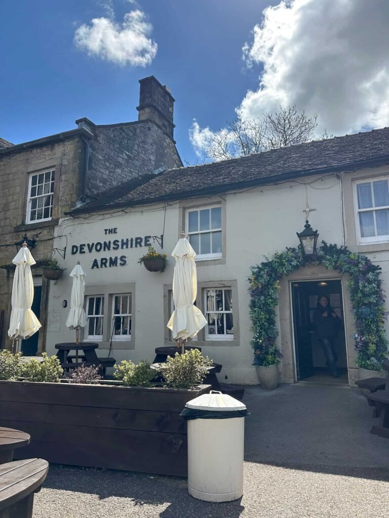
If you’re visiting Ethels you could pop up to the summit, but we carried on as the path wound its way to the farm track above Bank Top Farm. We walked up the track a few yards before bearing right over a footpath, crossing some more fields before emerging onto the road. We then followed this road downhill back into Hartington for a pint and some lunch at The Devonshire Arms.
This was a lovely peaceful walk, and it was great to escape the crowds in Hartington for a while.
Walk Map (Opens in OS Maps): Hartington and the Upper Dove Valley
Parking: Pay and display car park at Parsons Field, Parsons Close, Hartington, Buxton SK17 0BE | What3Words: ///softest.immune.prefer – £2.20 all day as of May 2026.
Facilities: There are public toilets in Hartington, as well as pubs, cafes and shops.
Dogs: This route passes farmland which has sheep and cows, and there are some stiles. Dogs need to be kept on a lead around livestock.
Walk Time: 2-3 hours
Difficulty: ▲▲
Distance: 6 miles (10km)
Trig Points Bagged: None
Peak District Peaks Bagged: None
Peak District Ethels Bagged: None – the walk passes the base of Carder Low though.
You might also like: