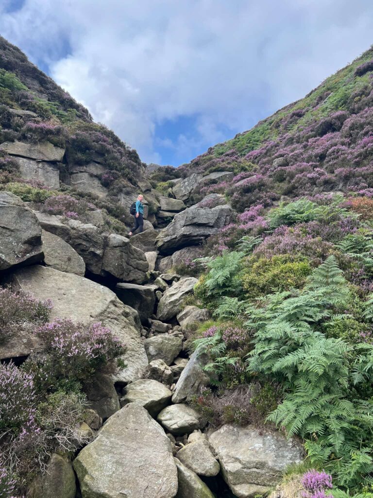
Cheshire 3 Peaks | 13.5 Miles
For those looking for a serious day out in the hills, the Cheshire 3 Peaks walk delivers in every sense. This 13.5 mile circular route starts and finishes at Teggs Nose Country Park and takes in three of the most distinctive summits on the Cheshire and Peak District border – Teggs Nose, Shutlingsloe and Shining Tor.
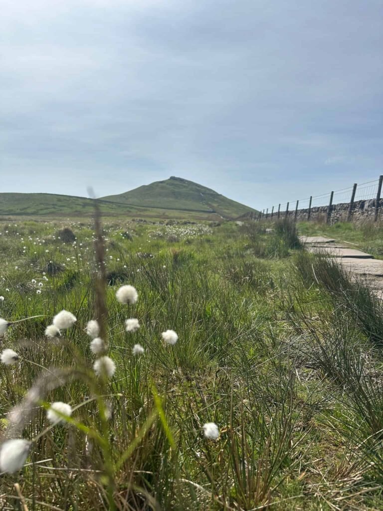
What makes this route particularly special is the variety it offers. The terrain shifts constantly – from open moorland and windswept ridgelines to quiet farmland and ancient woodland – keeping the walking interesting from start to finish. Along the way the route also passes 2 Ethels and 2 trig points. Whether you’re an experienced long-distance walker or simply looking to push yourself on a big day out, the Cheshire 3 Peaks is a route that genuinely delivers.
Cheshire 3 Peaks Walk – overview
- Distance – 13.5 miles
- Difficulty – Moderate to challenging
- Route type – Circular
- Start point – Teggs Nose Country Park
- Terrain – Moorland, farmland, woodland, ridge paths
- Summits – Teggs Nose, Shutlingsloe, Shining Tor
- Trig points – 2
- Ethels – 2
- Facilities – Car park, visitor centre and toilets at Teggs Nose
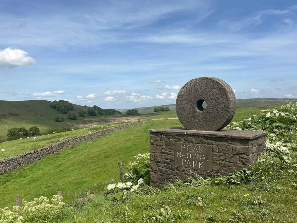
Highlights of the walk
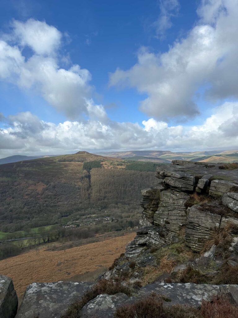
- Summiting Teggs Nose – the first peak of the day at 380m and a fantastic viewpoint above Macclesfield, with the former millstone grit quarry giving the summit a dramatic, industrial edge
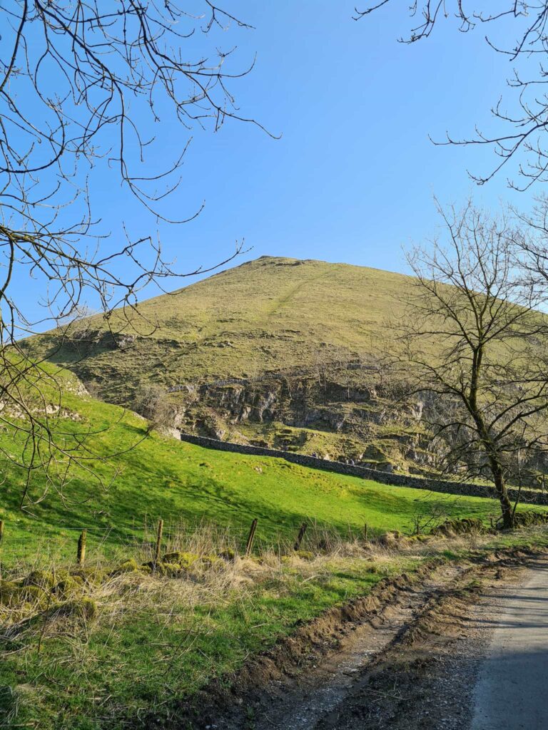
- The climb to Shutlingsloe – often called the Matterhorn of Cheshire for its distinctive conical profile, this is one of the most recognisable and satisfying summits in the area, with sweeping views in all directions from the top which stands at 506m
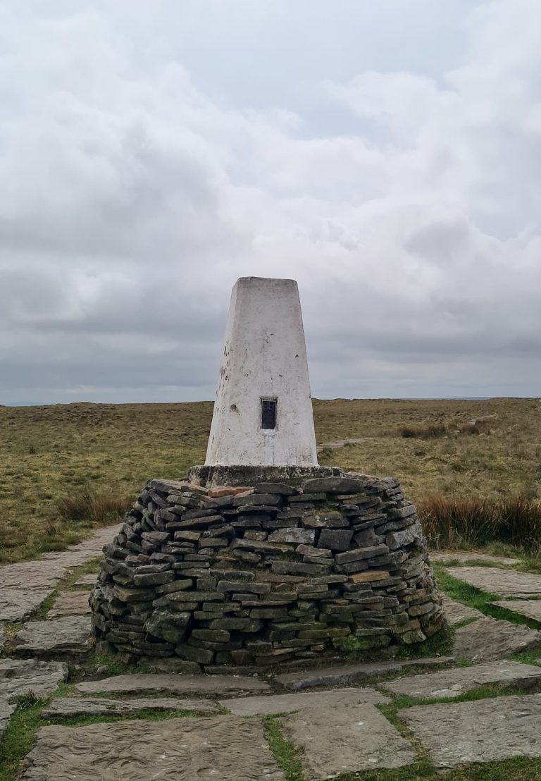
- Reaching Shining Tor – the highest point in Cheshire at 559 m, the summit trig point is a real milestone and the views across the Peak District and beyond on a clear day are outstanding
- Two Ethels along the route – a great added bonus for those who enjoy collecting these lesser-known hill designations alongside the main summits
- Two trig points to bag – who doesn’t love a trig point?
- A constantly changing landscape – the route moves through open moorland, rolling farmland and patches of woodland, keeping the walking varied and interesting across all 13.5 miles
- Starting and finishing at Teggs Nose Country Park, which has a car park, visitor centre and toilets – making it a well-equipped base for a long day out
Cheshire 3 Peaks Walk
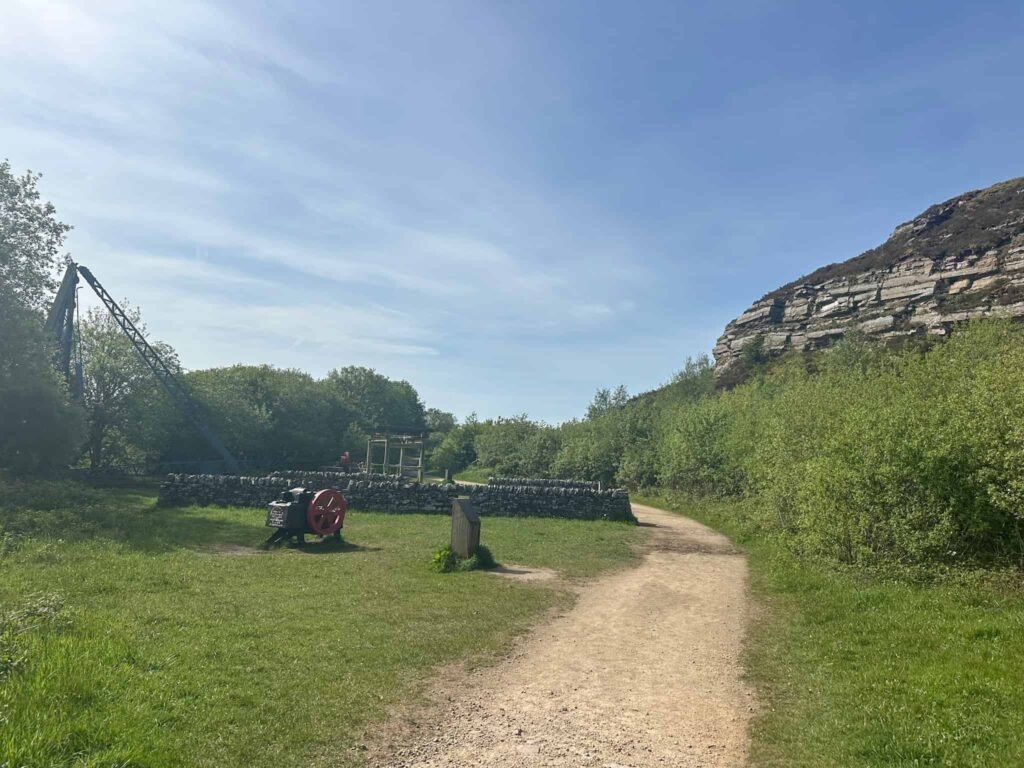
The walk starts from Teggs Nose Country Park and heads through the old quarry, snaking it’s way up to the summit of Teggs Nose, the first of the Cheshire 3 Peaks. The summit is marked by a walk in view indicator, through which you can see various points of interest including Kinder Scout.
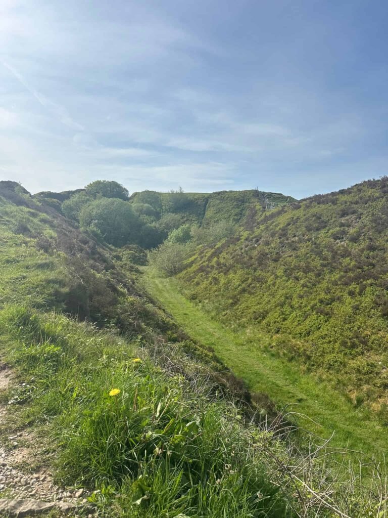
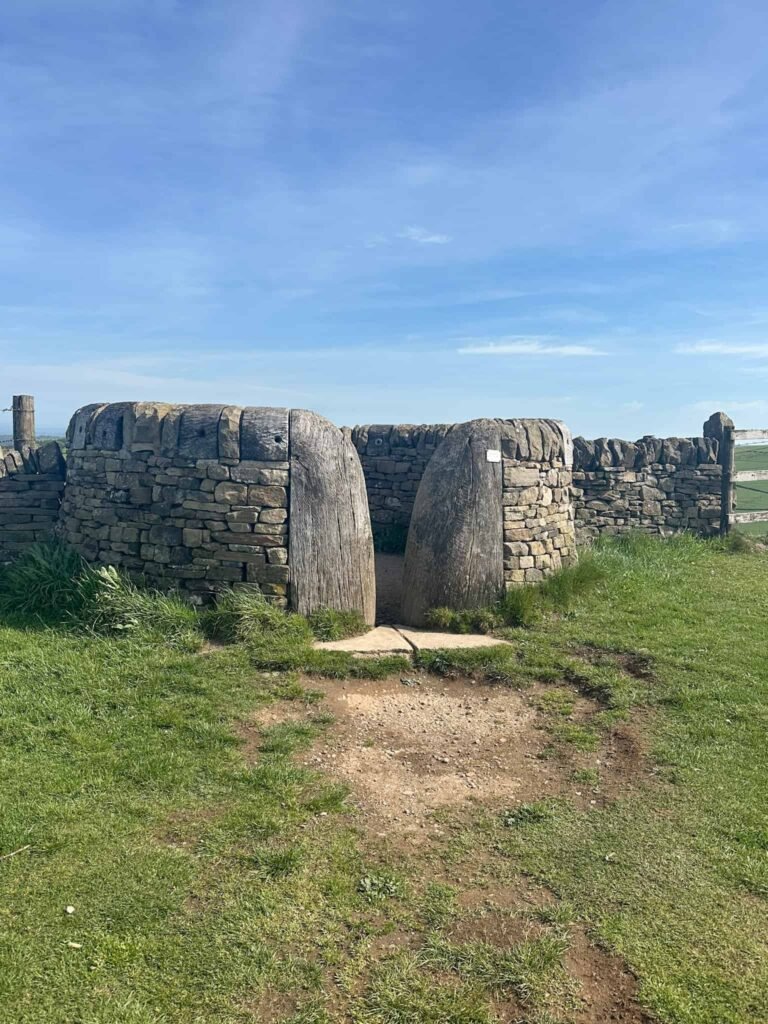
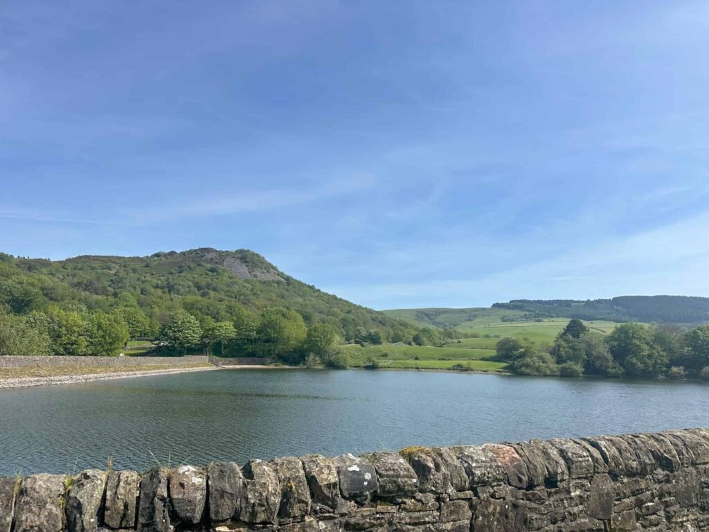
This summit is an out and back, so we retraced our steps back down the hill and descended the hillside into the woods above Teggsnose Reservoir. We passed Bottoms Reservoir and joined Clarke Lane, and then walked alongside Ridegate Reservoir to Trentabank.
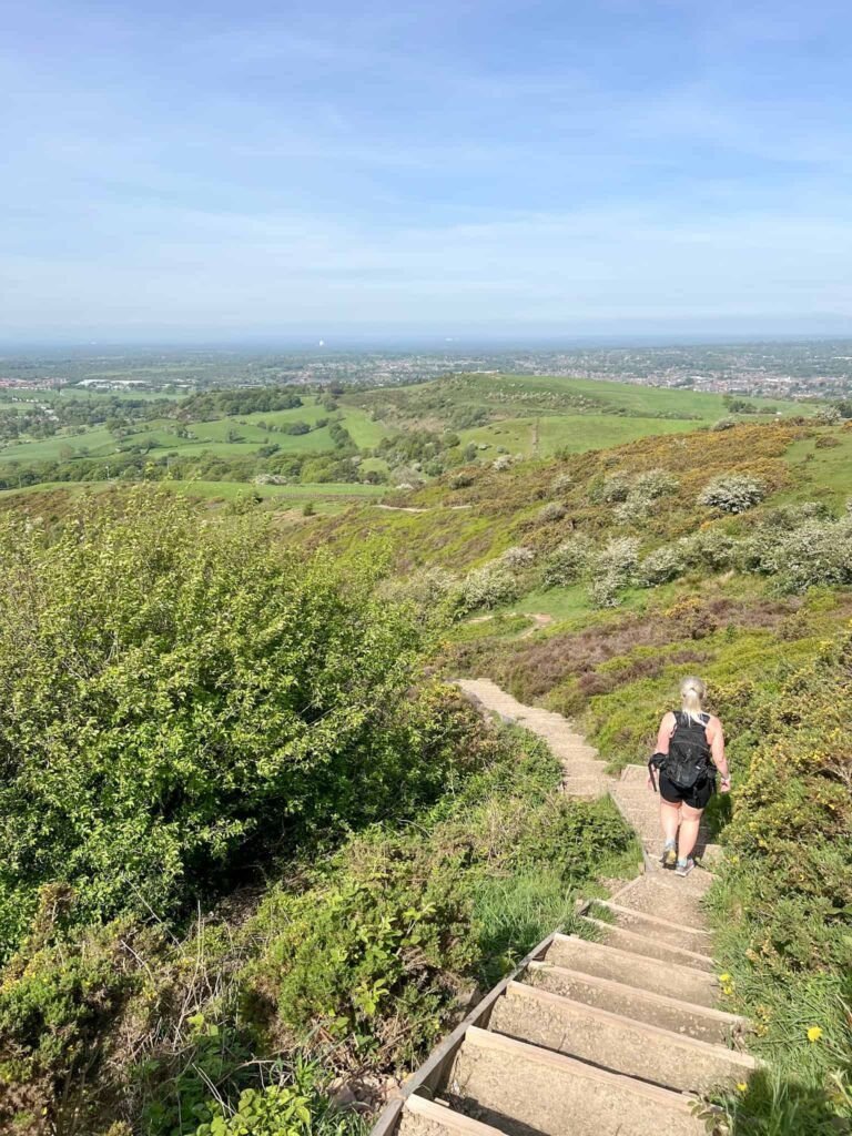
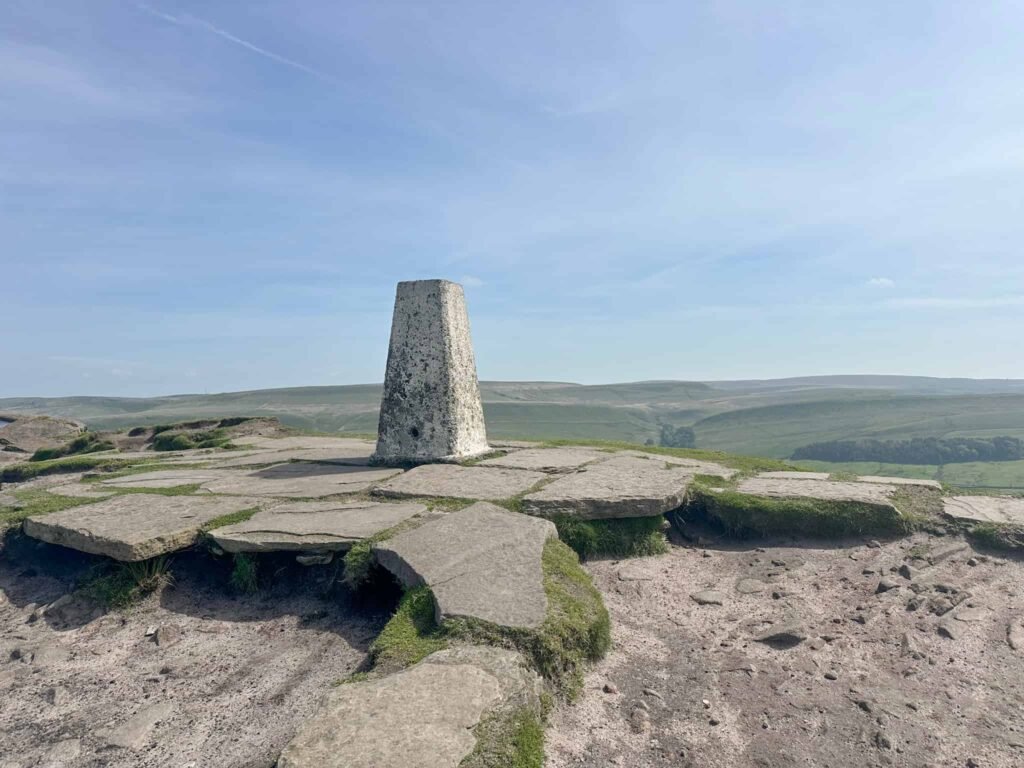
We climbed up through Macclesfield Forest and onto the Open Access Land at the base of Shutlingsloe. From here we climbed to the summit of Shutlingsloe, marked by the first trig point of the day.
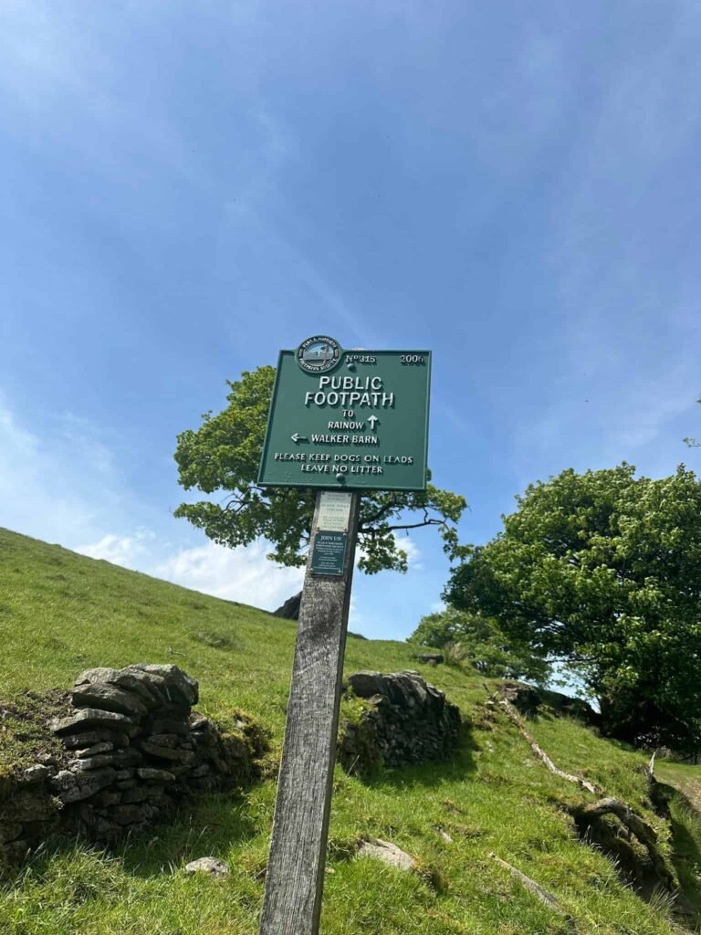
The route goes up and over Shutlingsloe, and the descent is as steep as the ascent! We walked down past Shutlingsloe Farm and turned left to head to Clough House. The bridge we wanted to use was closed to we walked through Clough House car park and picked up the footpath (marked by a green Peak and Northern Footpaths Society sign) running alongside Cumberland Brook.
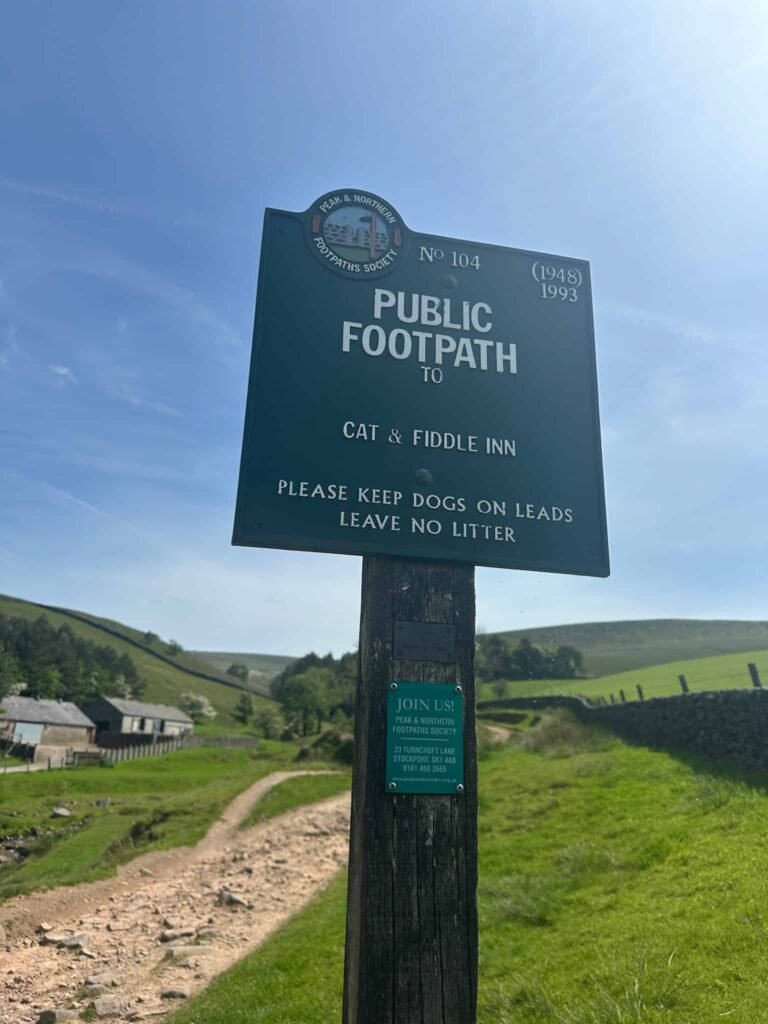
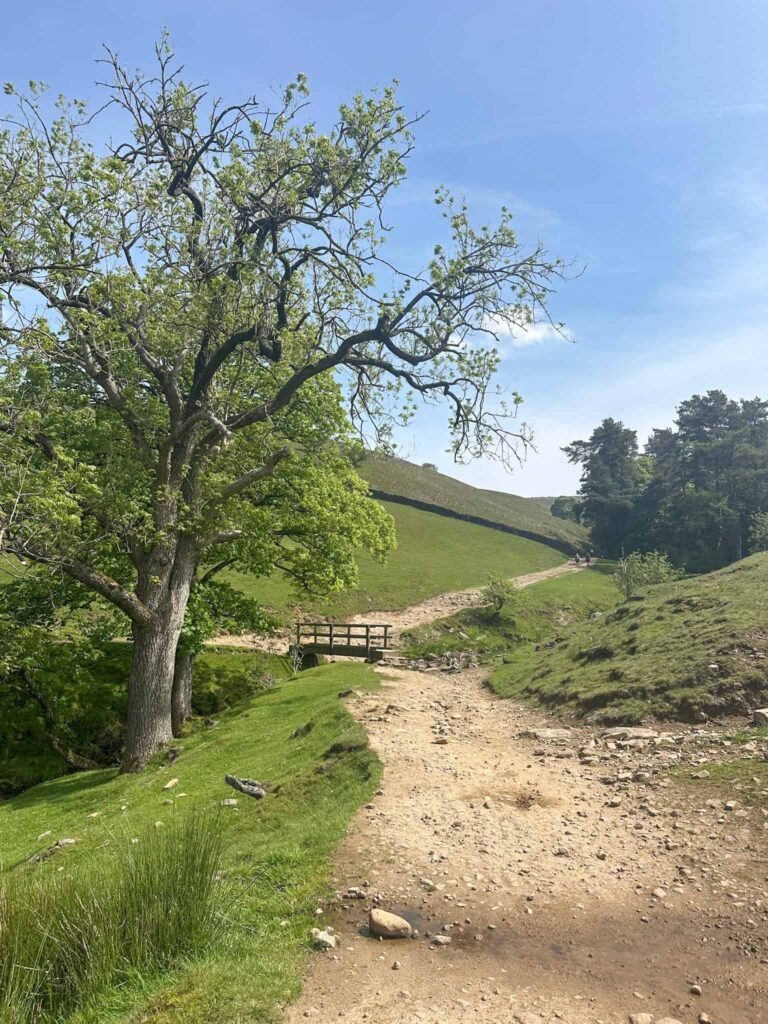
The route heads up the rocky uneven path and joins a track running just below Whetstone Ridge (this is another Ethel and you can easily detour to the summit).
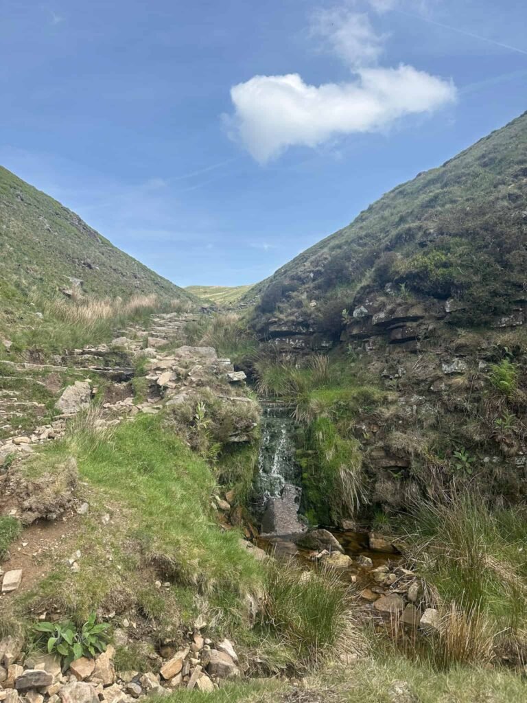
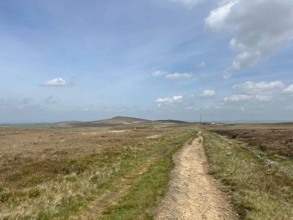
The path meets the A537 at the Cat and Fiddle, once a pub but now Britain’s highest altitude whiskey distillery. We crossed the road and followed the road a short distance, picking up a track above Stake Farm. The route turns left to climb up to Shining Tor, the county top of Cheshire and the highest point on the walk today.
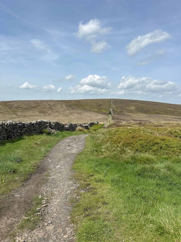
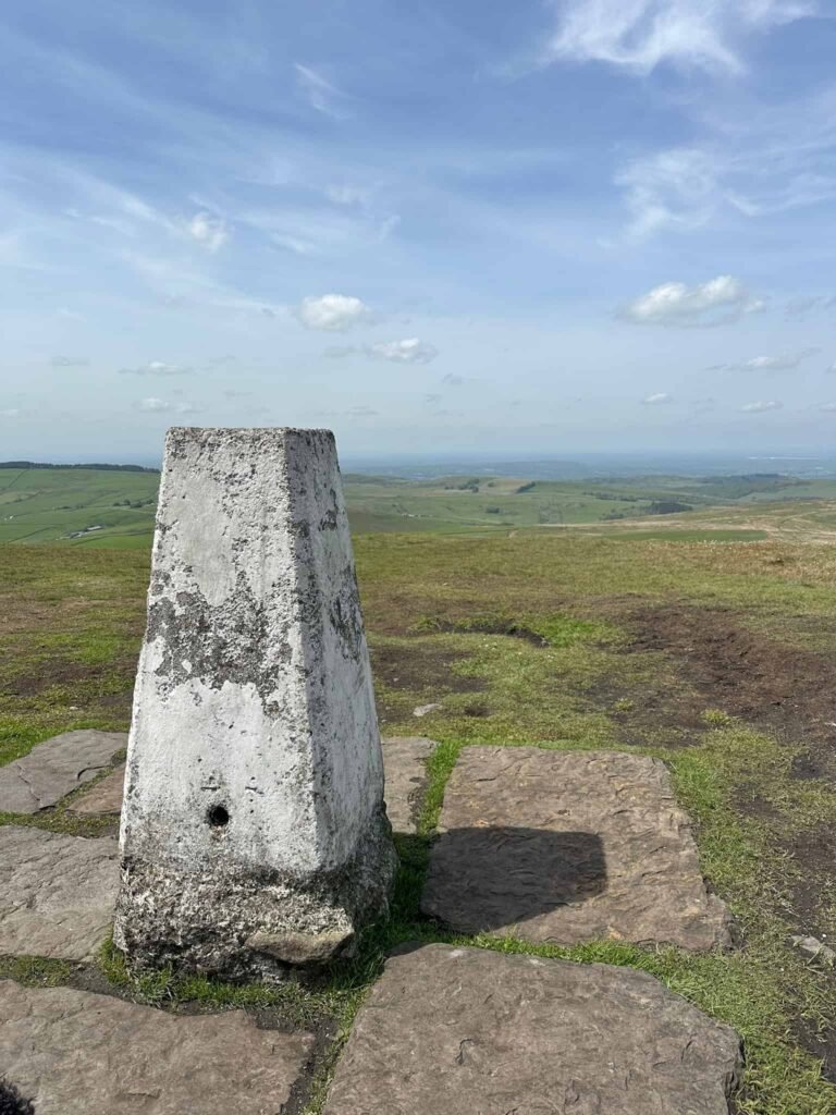
The trig point is accessed through a small gate, and after we’d admired the view we came back through the gate and followed the path a short distance before picking up a footpath on the left. This path runs over the moors towards Lamaload Reservoir.
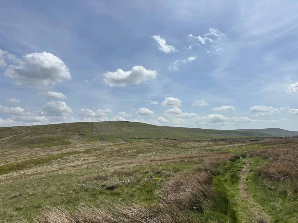
Turning left, we followed the road as it started to climb and then took a footpath on the right, passing Higher Ballgreave Farm. The route climbs up a short sharp hill and then heads over fields to reach the main road at Walker Barn, where there’s a Peak District boundary marker. There’s a short stretch on the main road here before turning left onto the road back to Teggs Nose Country Park.
This is a great route and we really enjoyed it. It would make great training for other 3 Peaks challenge walks, such as Derbyshire 3 Peaks | 18 Miles or Yorkshire 3 Peaks Route & GPX | 24 Miles.
Walk Map (Opens in OS Maps): Cheshire 3 Peaks Walk Map
Teggs Nose Parking: Tegg’s Nose Country Park, Buxton Old Road, Macclesfield, Cheshire SK11 0AP (Pay and Display) – W3W:///munched.looked.lyrics
Facilities: Toilets and tea rooms in the car park
Dogs: The route passes farmland and uses Open Access Land. By law, dogs need to be on a short lead at all times around livestock and on Open Access Land between 1 March and 31 July to protect ground nesting birds. It was sad to see that when we completed this walk in May, there were off lead dogs in the fields below Shutlingsloe where there were sheep and lambs, and owners who didn’t care.
Walk Time: 5-6 hours
Difficulty: ▲▲▲
Distance: 13.5 miles (21.7km)
Trig Points Bagged: Shutlingsloe, Shining Tor
Peak District Peaks Bagged: Teggs Nose, Shutlingsloe, Shining Tor
Peak District Ethels Bagged: Shutlingsloe, Shining Tor
You might also like: