Ilam Park and Musden Low | 5 Miles
Looking for a gentle walk to explore Ilam Park and the Manifold Valley? This short walk takes you to both, as well as the Musden Low trig point. Expect stunning views of Thorpe Cloud and Dovedale as well as visiting the historic Ilam Park, all in under 5 miles.
Ilam Park Walk Overview
- Facilities – Cafe and toilet at Ilam Park tea rooms
- Distance – 4.7 miles
- Difficulty – Steady
- Route type – Circular
- Start point – Blore Pastures Car Park
- Terrain – Fields, riverside paths, woodland trails
Key Landmarks on This Walk
On this walk you’ll pass:
- Musden Low trig point
- Paradise Walk (stunning in mid to late May when the wild garlic is in flower)
- Ilam Park – stunning gardens, parkland and tea room
- St Bertram’s Bridge, a medieval single span bridge restored in 1839.
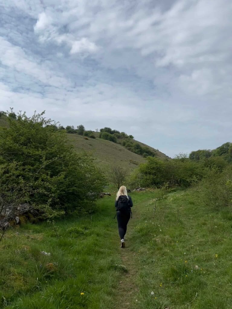
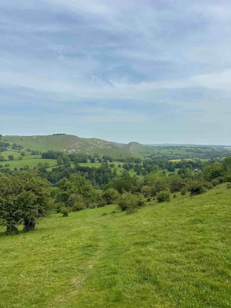
The walk starts from Blore Pastures car park and picnic area. We crossed the road and picked up a public footpath heading up the fields to join Ilam Moor Lane. After 150m we turned right at a large wooden gate, over the stile onto a track. This track continues for about 1km before crossing a stream and climbing slightly to a footpath junction. We took the path turning left, which climbs again slightly and skirts around Musden Low.
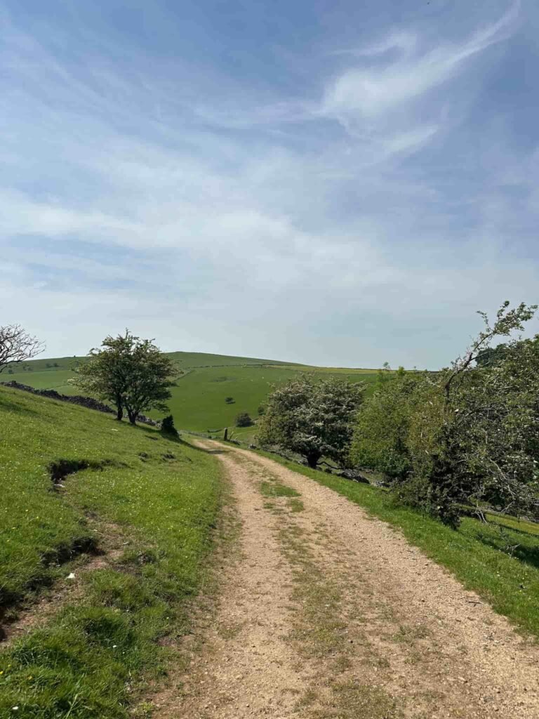
The summit of Musden Low, marked by a trig point, sits at 361m and is on private land. The public footpath runs around the base of the hill to the north-eastern corner of the field, where there is a stile in the wall.
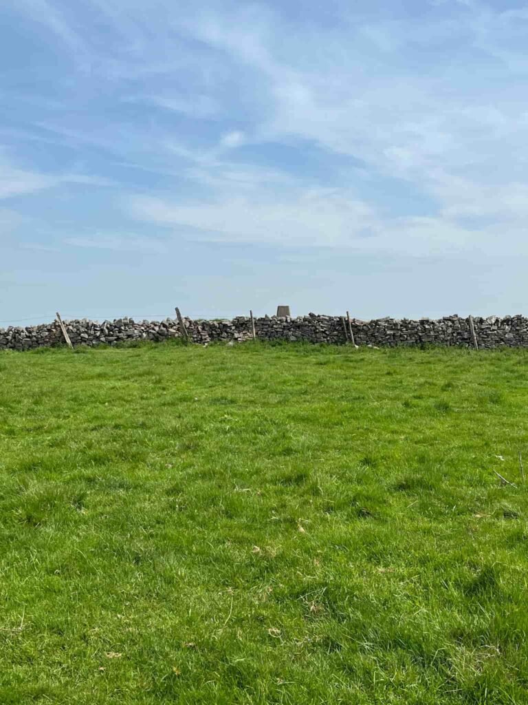
The public footpath then runs across the field to reach a stone squeeze stile. If you wanted to visit the trig, you’d have to follow the wall line up to the boundary but even then the trig point is surrounded by barbed wire.
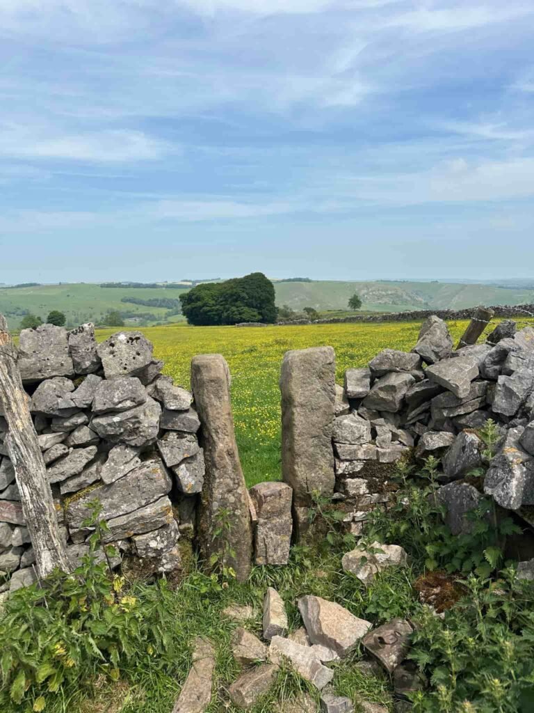
The walk passes the ruins of Upper Musden Farm. The true right of way runs across a field just after the farm buildings but there is no stile and it was packed with nettles and barbed wire, so we followed the wall line round this field to rejoin the public footpath.
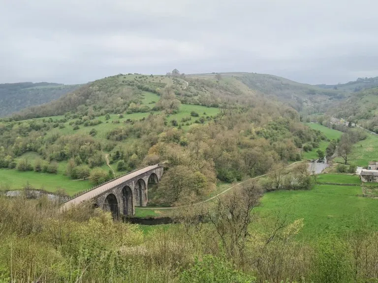
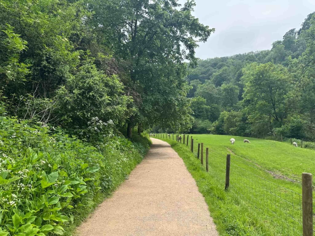
The route then crosses fields and descends sharply to reach a footbridge over the River Manifold leading into Ilam Park.
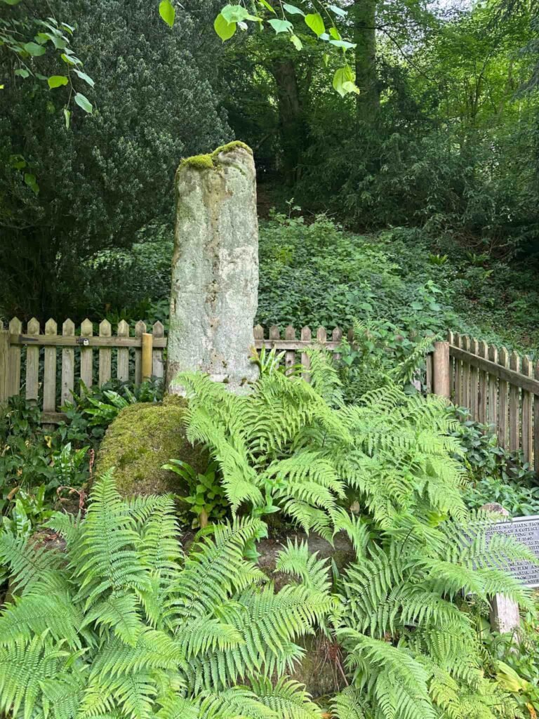
Turning right, the walk follows the track known as Paradise Walk as it makes its way to Ilam Park. Just after the Battle Stone, an ancient Anglo Saxon cross shaft, there is a climb up to the tea rooms, where there is a cafe and loos.
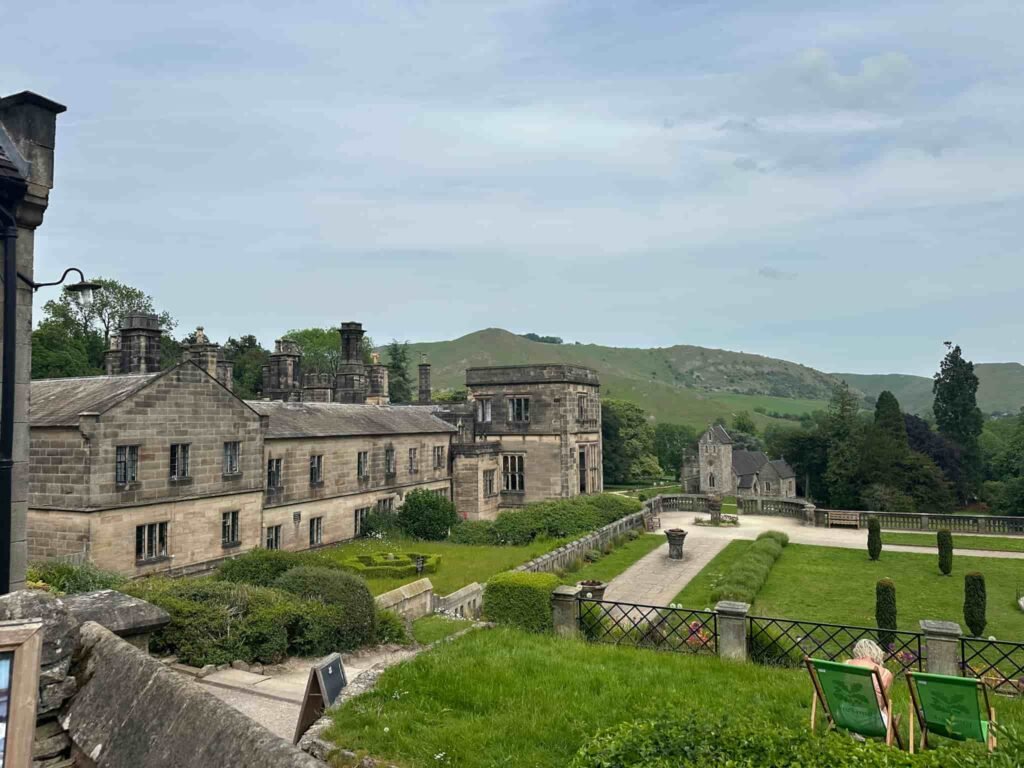
Ilam Park is a beautiful estate in the Manifold Valley, gifted to the National Trust in 1934. The hall that stands today is a 19th-century rebuild, but the estate itself has a history stretching back to Saxon times.
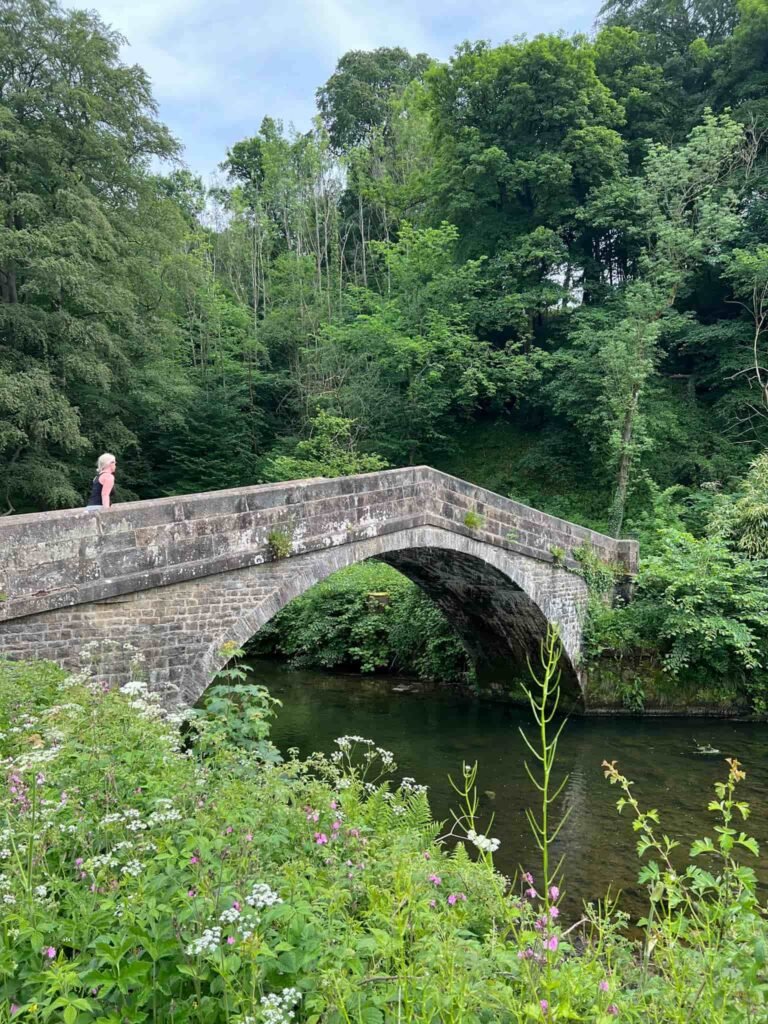
We descended via the terraced garden and made our way back down to the riverside path, crossing the parkland and then to St Bertram’s Bridge. This stone bridge is thought to be medieval or post-medieval and is a Scheduled Monument.
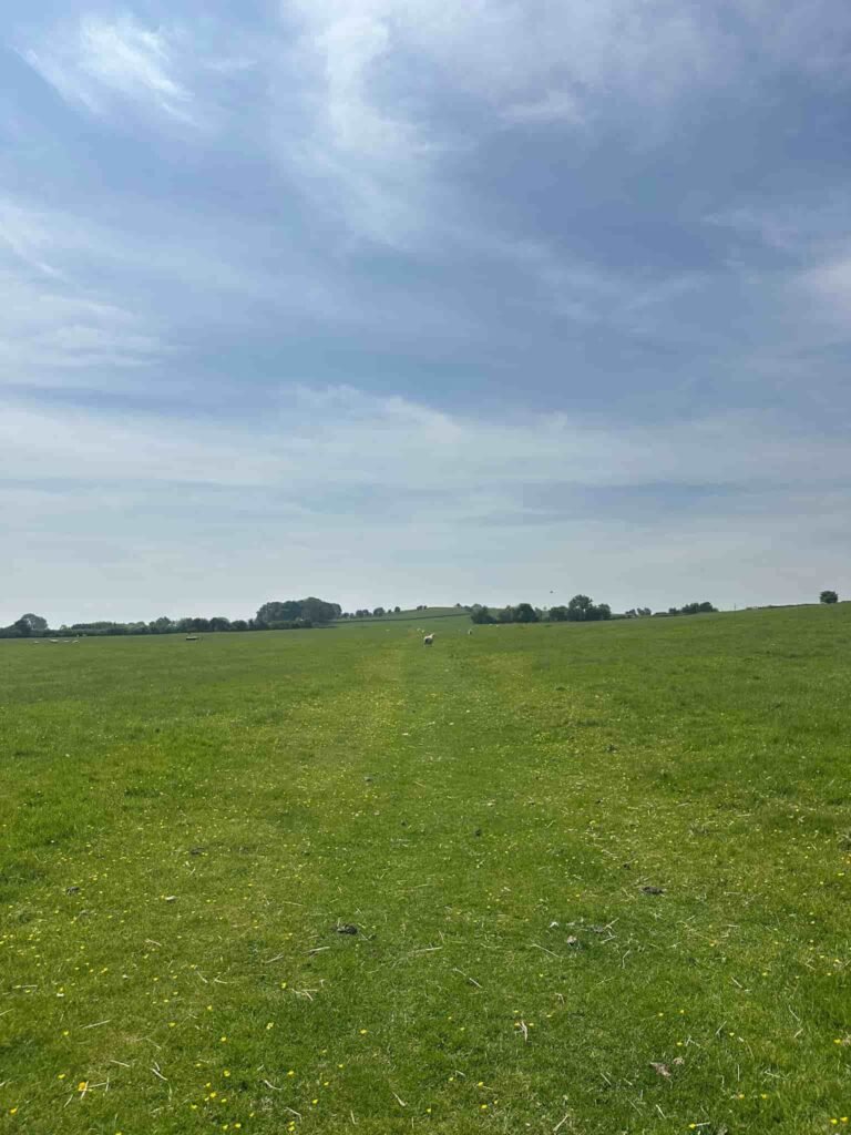
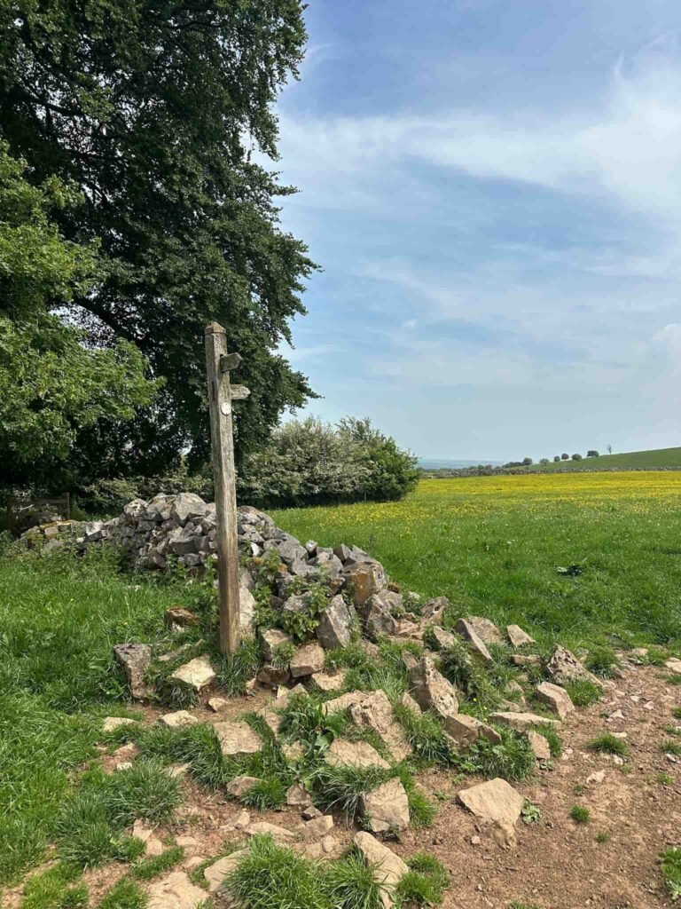
Over the bridge, we passed the old gatehouse and followed a curving track to meet Ilam Moor Road. There is a wooden footpath signpost, and we followed the footpath back over the fields and through Blore Pastures Wood to the car park.
This was a fabulous walk in a beautiful area of the Staffordshire countryside.
Walk Map (Opens in OS Maps): Ilam and Musden Low Walk
Parking: We parked in the car park on Blore Pastures, Ilam Moor Lane, Ashbourne DE6 and it cost £6.60 for the day. W3W:/// professes.turntable.butlers
Dogs: The route passes through farmland so dogs must be on a short lead.
Facilities: There are no facilities in the car park. There are toilets and a cafe at Ilam Park, part of the National Trust.
Walk Time: 2-3 hours
Difficulty: ▲▲ – there are a few gentle climbs but nothing severe.
Distance: 4.65 miles (7.5km)
Elevation: 925ft (281m)
Trig Points Bagged: Musden Low
Peak District Ethels Bagged: Musden Low
You might also like: