Hartington 5 Dales Walk | 10 Miles
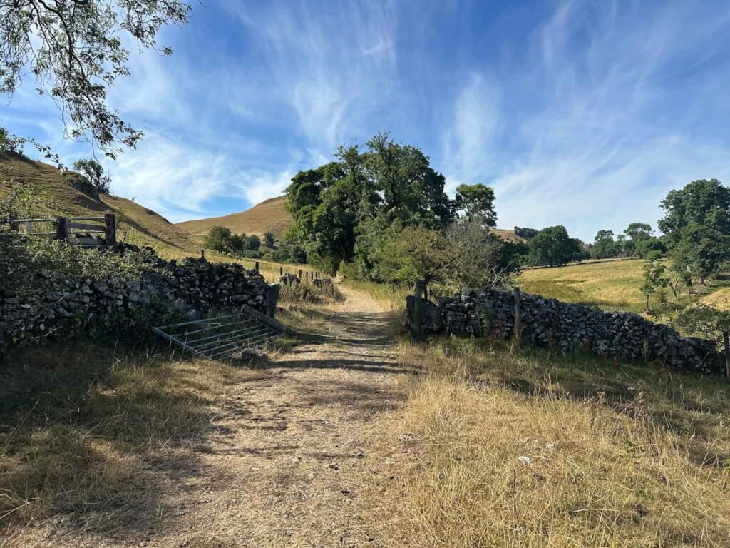
Explore the scenic Derbyshire Dales with this Hartington 5 Dales walk. Visiting Beresford Dale, Narrowdale, Milldale, Wolfscote Dale and Biggin Dale, this 9.8 mile walk is perfect for those who love peace and tranquillity. It’s a longer day out, but the pace here is gentle, and every dale brings its own quiet character so it never feels like a slog.
Walk Overview
- Distance: 9.8 miles
- Difficulty: Moderate (mostly down to distance rather than terrain)
- Start/finish: Hartington
- Dales visited: Beresford Dale, Narrowdale, Milldale, Wolfscote Dale, Biggin Dale
- Parking: Parsons Field car park, pay and display – £2.20 all day as of August 2026.
- Terrain: Riverside paths, dale-side tracks and some gentle climbs between dales
- Good for: Walkers wanting a longer, peaceful day out away from the busier Peak District honeypots of Dovedale etc.
Walk Highlights
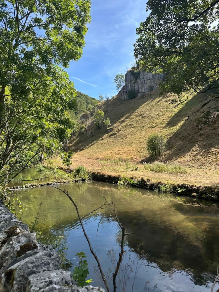
Beresford Dale – A quiet, atmospheric start to the walk, with the River Dove running alongside and the 17th century fishing house linked to Izaak Walton and Charles Cotton tucked into the riverbank. The Fishing Temple is on private land but apparently can be viewed from the riverbank (although I didn’t see it – maybe in winter?).
Narrowdale – One of the lesser-walked dales on this route, and all the better for it, offering a real sense of solitude compared to some of the White Peak’s more popular spots.
Alstonefield – an unspoilt village situated on the limestone plateau between Dovedale and the Manifold Valley. It’s formed from pretty old cottages gathered around a village green with a quaint country pub and a picturesque 12th Century church.
Milldale – A charming little hamlet roughly at the route’s midpoint, with its famous Viator Bridge, a narrow packhorse bridge over the Dove, a good spot to pause before continuing on.
Wolfscote Dale – One of the prettiest stretches of the whole walk, with the river winding beneath steep limestone slopes on either side.
Biggin Dale – A quieter, drier dale to finish on, with a different character to the river-hugging dales earlier in the route, a good final stretch before the walk back into Hartington.
Hartington – Another beautiful White Peak village, with pretty old buildings, cafes, shops and pubs.
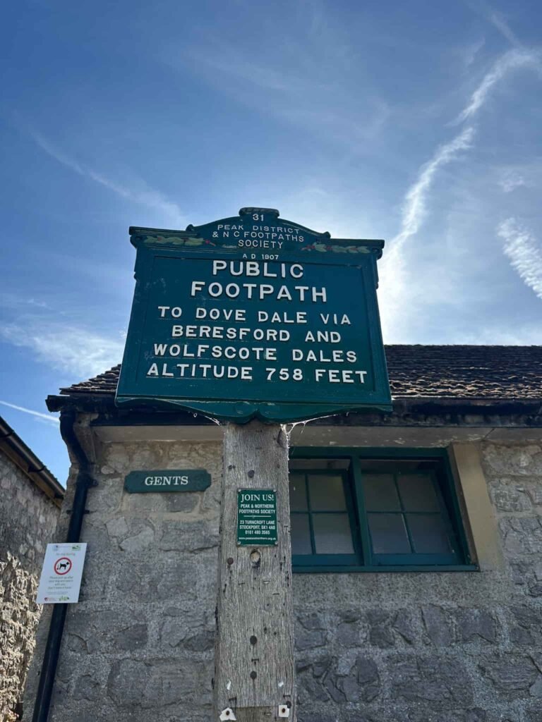
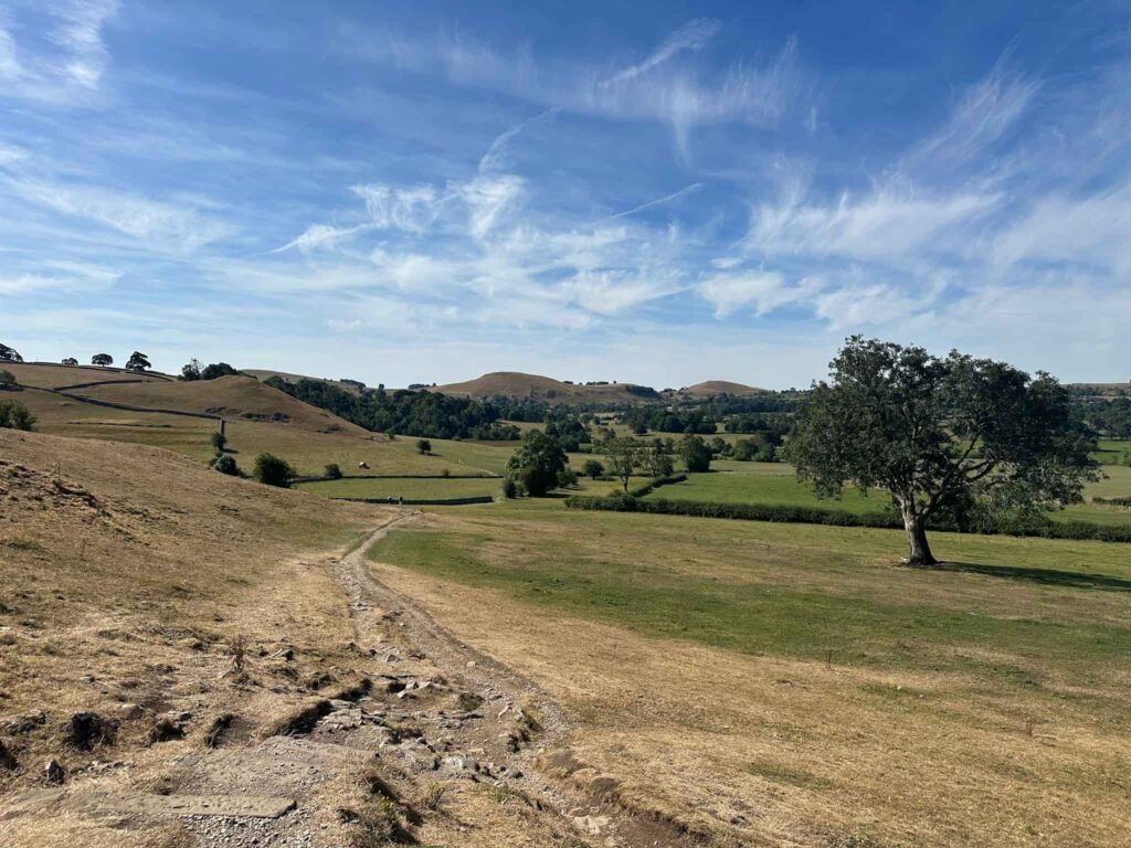
The walk starts in the pretty village of Hartington in the Parsons Field car park. Leaving the car park, we turned left to walk down the road into the village centre, and we went up the public footpath between the public toilets and Hartington Farm Shop. This footpath climbs gently but skirts the bottom of the hill and continues south, crossing a lane and some fields to enter Morson Wood, which was lovely and shady.
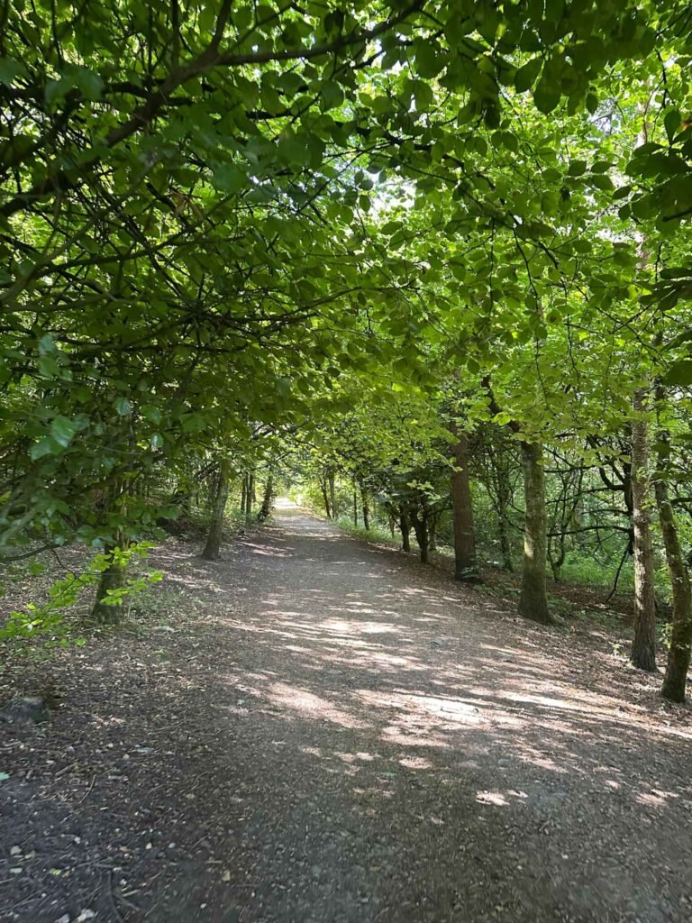
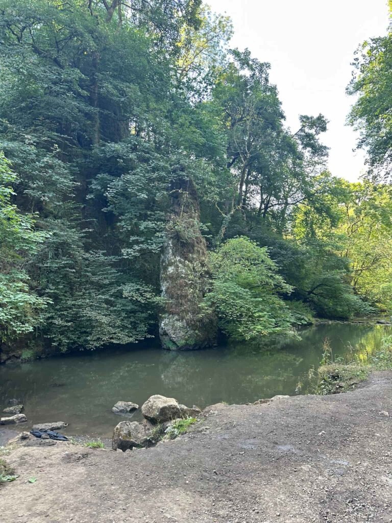
The woods lead into Beresford Dale via a wooden bridge at Pike Pool, with its large limestone monolith rising from the water. This is apparently a good spot for a swim, although we didn’t on this occasion.
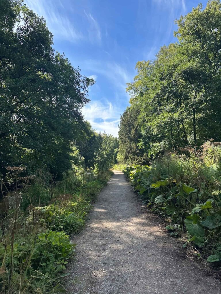
The path continues through the dale, following the course of the river and then heads out onto the road near the entrance to Beresford House. We picked up the footpath to Hulme End and followed this to a metal gate marked Narrowdale Estate, then continued through another metal gate. A short distance after this gate the path heads up the hill via switchback and climbs steeply to the base of Narrowdale Hill.
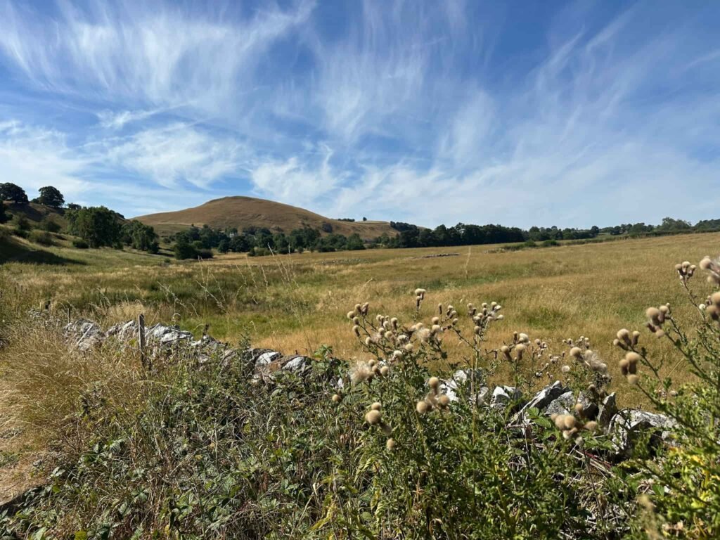
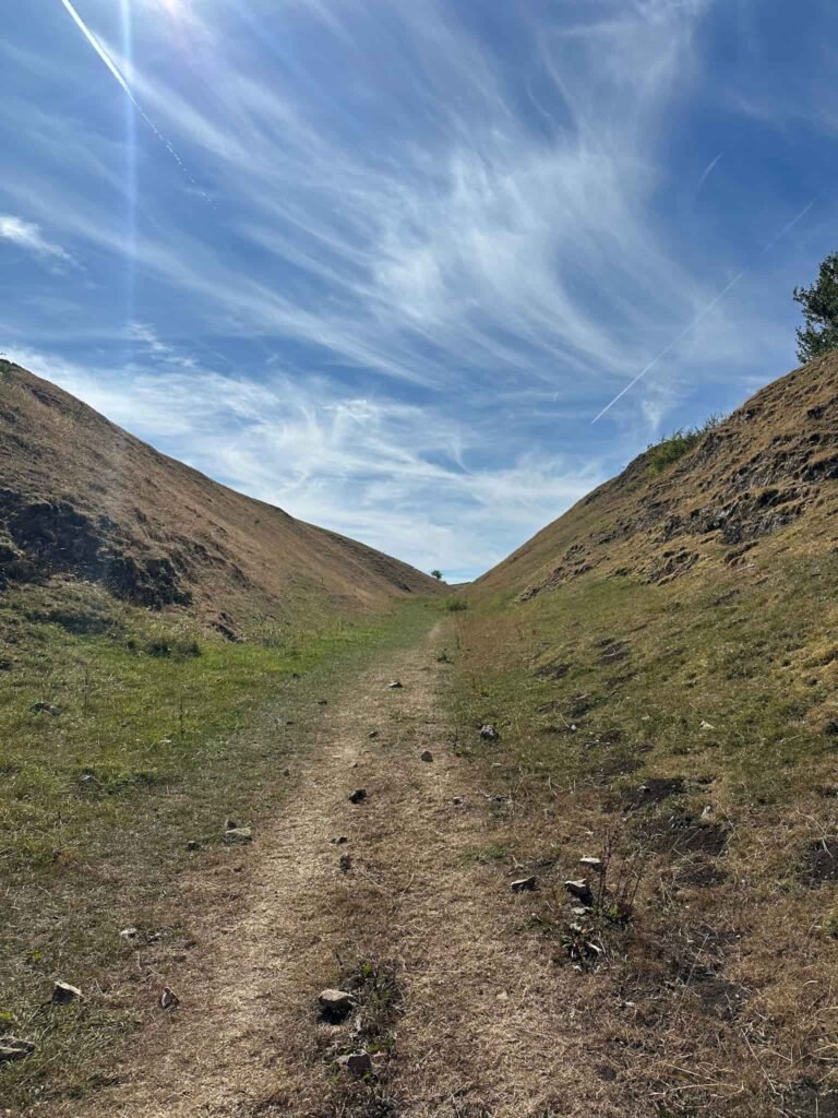
We followed the track around the base of Narrowdale Hill, high above the dale itself, then headed through some really narrow stiles to reach the road into Alstonefield. We walked down the road, passing the Alstonefield car park (with toilets), and then into the village centre, passing the pub and calling in for an energy boosting piece of cake from Frank’s Cafe & Shop.
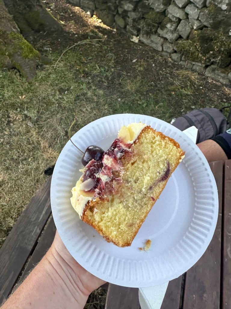
We continued down the road, passing the church on our right, and after 100m ish picked up the footpath over the fields into Milldale. It’s a steep old descent into the pretty village of Milldale, and you emerge next to Pollys Cottage, another cafe pitstop if you need it!
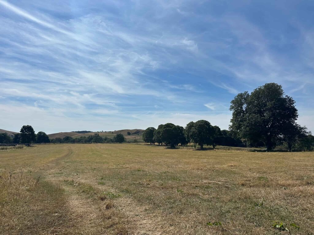
Here you can also see the famous Viator Bridge (it was really busy so I don’t have any photos unfortunately).
We didn’t cross the bridge but turned left, walking along the road through Milldale to cross another pretty stone bridge by the mill and take the footpath on the left, leading into Wolfscote Dale (signposted Beresford Dale, Wolfscote Dale & Hartington).
Passing Fishpond Bank, the path runs along the bottom of the grassy dale following the course of the river, eventually passing a green National Trust signpost which says 3 1/2 Pubic Footpath to Hartington.
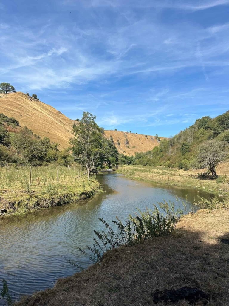
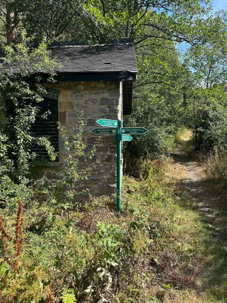
We passed some stepping stones and a footbridge and then took the right hand fork in the path leading into Biggin Dale.
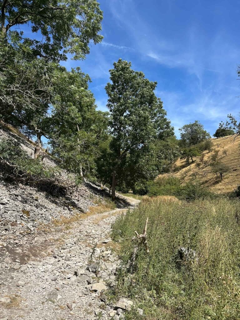
Biggin Dale is really rocky underfoot, with lots of loose limestone, and feels very different to Wolfscote Dale. Passing a small cave (accessed via stile), the route winds its way through Biggin Dale which gradually becomes less rocky and more grassy, and at the wooden signpost we turned left to take the path to Dale End.
Here the route joins the road, so we walked down the road a short distance before walking along the public footpath (which runs around a house) and then becomes Highfield Lane, a gravel track which climbs gently uphill before dropping down into Hartington.
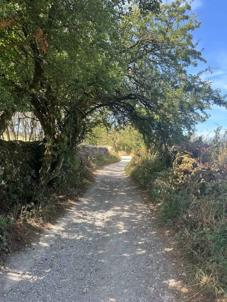
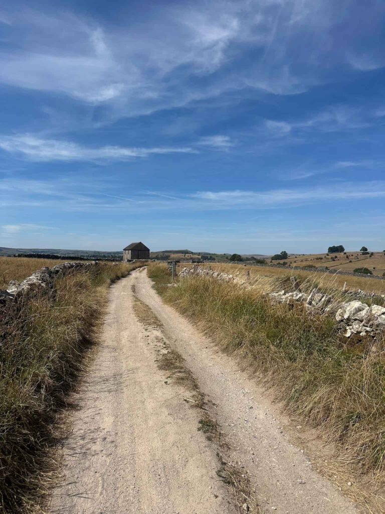
We walked past Hartington YHA (which looks amazing) and into the village centre of Hartington itself, and then promptly went to the Devonshire Arms for some much-needed liquid refreshment. It was so hot when we did this walk!
This was a lovely walk, and each dale has it’s own personality and atmosphere which is different from the rest. A varied, peaceful walk in the beautiful Derbyshire Dales.
Walk Map (Opens in OS Maps): Hartington 5 Dales Walk
Parking: Pay and display car park at Parsons Field, Parsons Close, Hartington, Buxton SK17 0BE | What3Words: ///softest.immune.prefer – £2.20 all day as of August 2026.
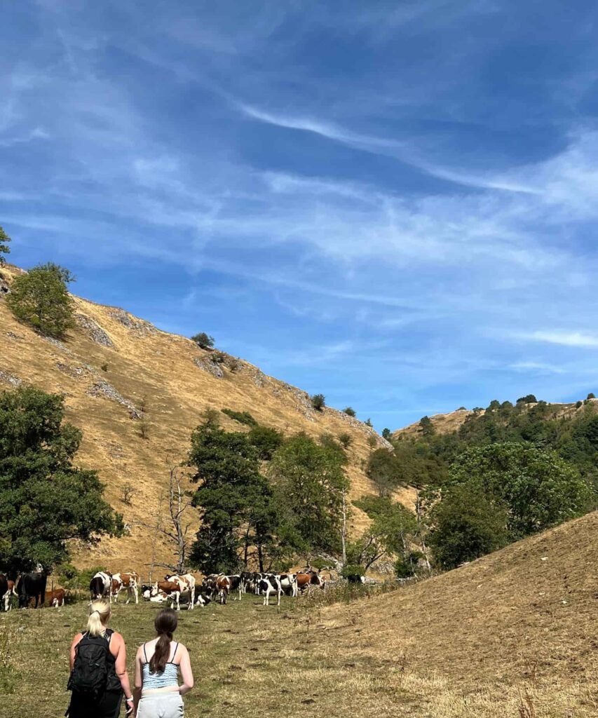
Dogs: Dogs on leads near livestock – the route uses public footpaths but does cross a lot of farmland. There were a lot of cows on this route, especially in Wolfscote Dale.
Facilities: Public toilets, cafes, shops and pubs in Hartington, Alstonefield has public toilets, cafe and pub, Milldale has a cafe.
Walk Time: 4-5 hours
Difficulty: ▲▲
Distance: 9.8 miles (15.78km)
Trig Points Bagged: None
Peak District Peaks Bagged: None
Peak District Ethels Bagged: None
You might also like: