Kinder Scout Plane Wrecks – Wellington Bomber at Upper Tor and Avro Anson on Edale Moor | 6 Miles
This walk explores the southern edge of Kinder Scout, finding two plane wreck sites – the Vickers Wellington bomber W5719 at Upper Tor and the Avro Anson MK1 N9853 on Edale Moor. It packs a lot into 6 miles, with a steep climb up to Upper Tor, Four Jacks Cabin and off-path navigation on the Kinder Scout plateau.
This walk is for experienced hikers who are able to navigate. Kinder Scout is a featureless, boggy moorland plateau and the Anson wreckage is hidden in a peat grough. The weather can change instantly on Kinder Scout.
Kinder Scout Plane Crash Walk Overview
Distance – 5.8 miles
Difficulty – Moderate to challenging
Route type – Circular
Start point – Edale village
Terrain – Rocky paths, steep climbs, moorland plateau
Facilities – Cafes, pubs and toilets in Edale
Highlights of the Walk
- The beautiful Grinds Brook valley
- Climbing onto Kinder Scout via Upper Tor
- Visiting the Wellington bomber crash site and the small debris pool on Upper Tor
- Following the stream to the site of Four Jack’s Cabin, built by four men named Jack in 1870. A small shelter was erected on the site in 2024
- The crash site of the Avro Anson
- Panoramic views from Grindslow Knoll
- A brilliant Dark Peak adventure starting and finishing in Edale where there are some great pubs for post-walk refreshment.
Walk Details
Our walk starts in the Edale village hall car park, near the train station. We turned right out of the car park, under the railway bridge and followed the lane up into Edale village, passing the church.
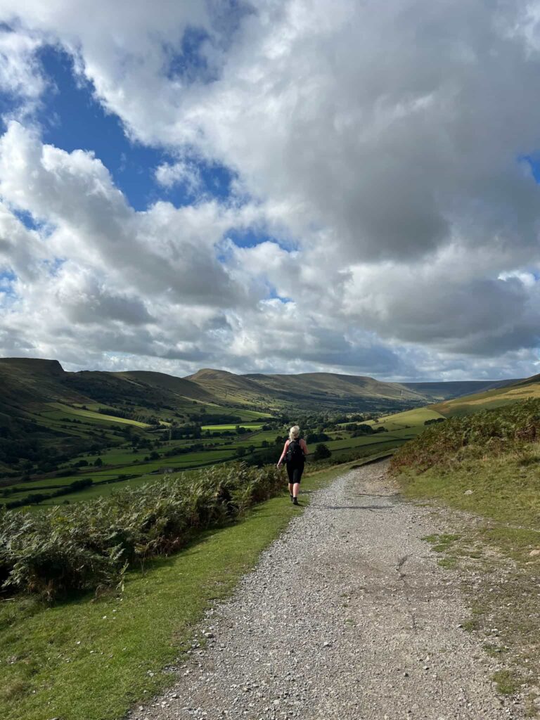
We followed the road past the Old Nags Head pub and then took the footpath over the bridge over Grinds Brook. The stone slabbed path runs along the valley bottom, climbing gently into a small woodland before crossing a pretty wooden bridge over Golden Clough.
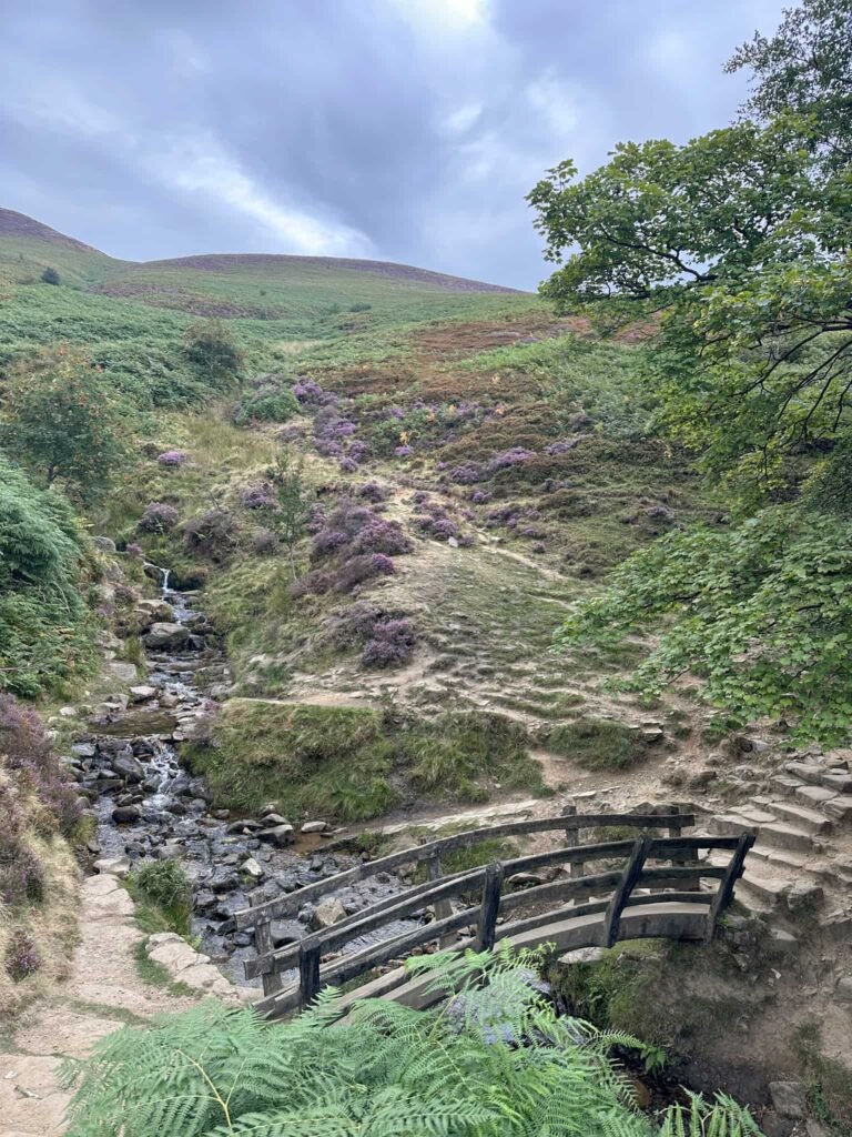
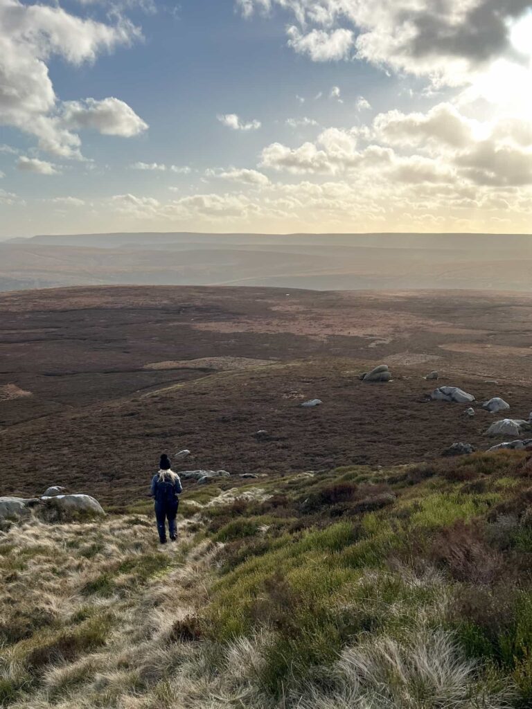
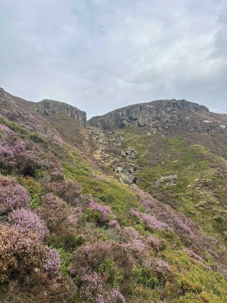
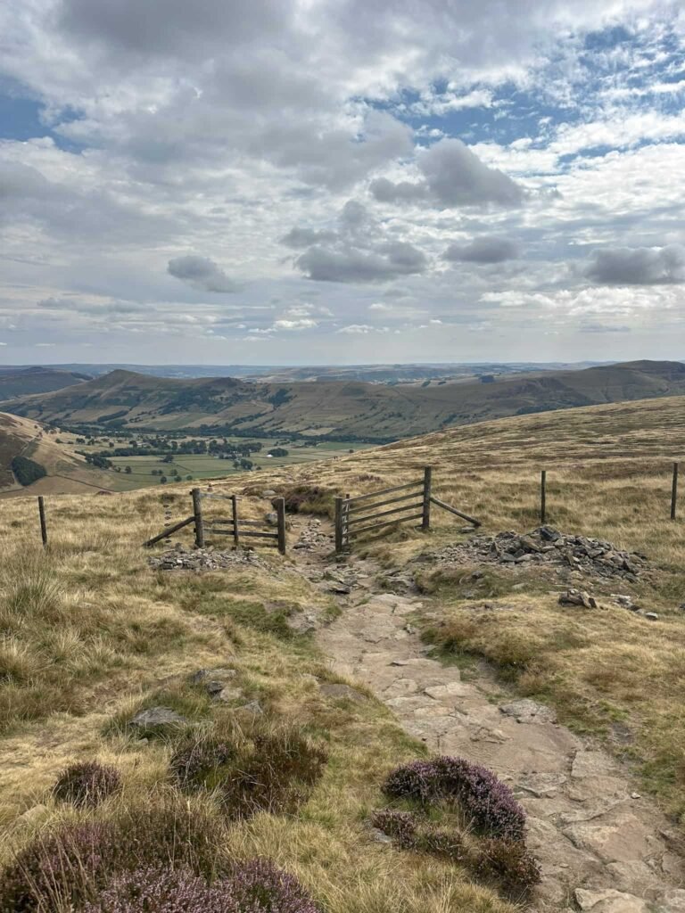
The route gets rockier as you go further up, until we reached a gate and fence line. Here there’s a very steep path running straight up the hillside to Upper Tor – this is the way up!
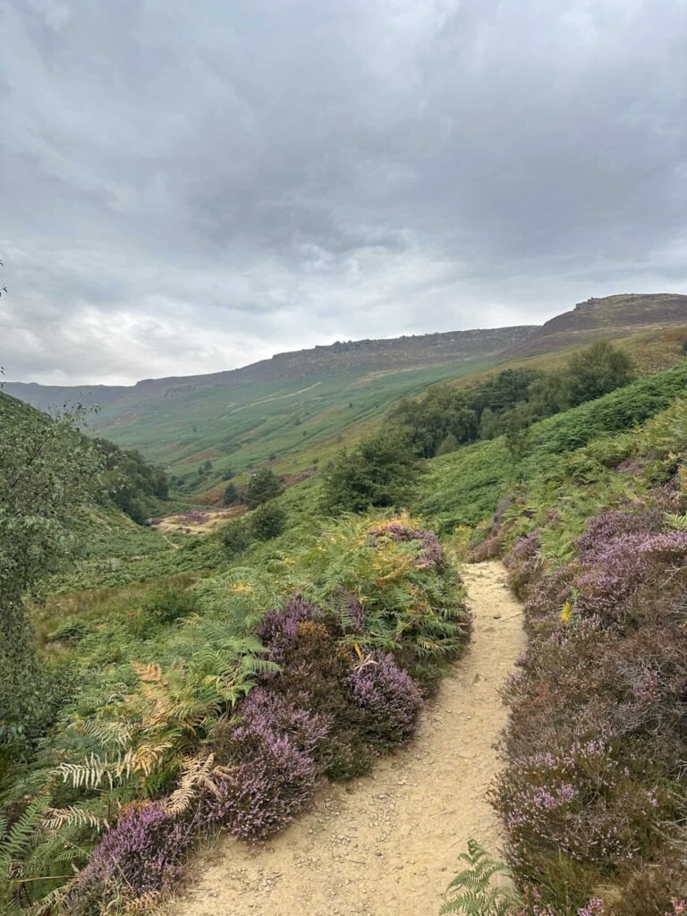
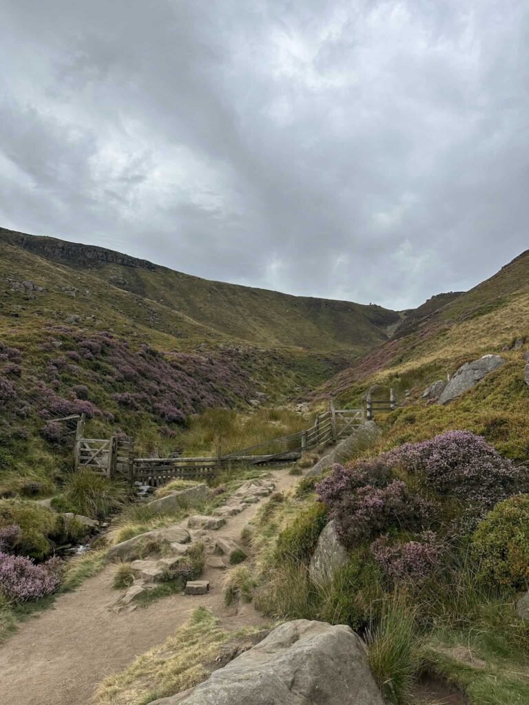
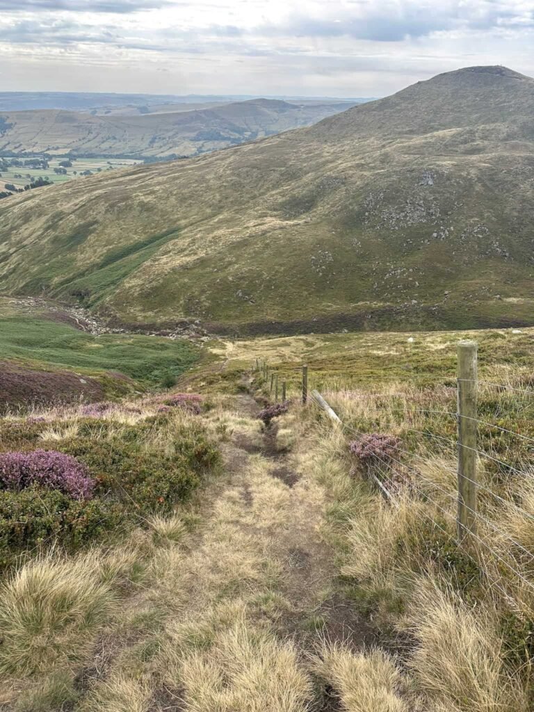
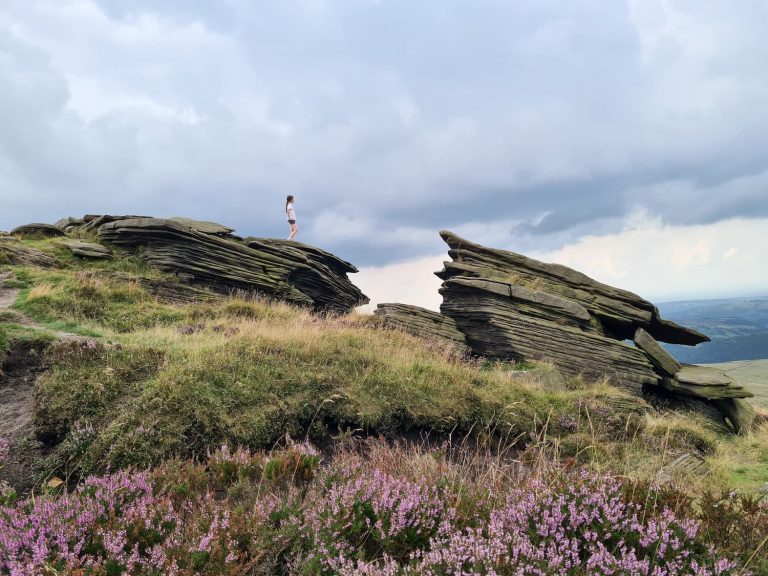
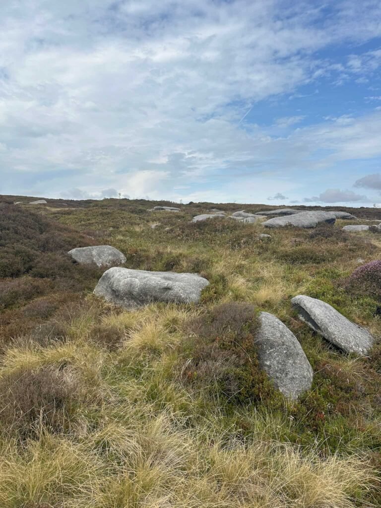
After a quick fuel stop for a Kinder Bueno (first time having Kinder on Kinder!) we reached the top. We walked a short distance to the east and then I dropped down the side of the rocky outcrop at Upper Tor to find the crash site of the Vickers Armstrong Wellington bomber.
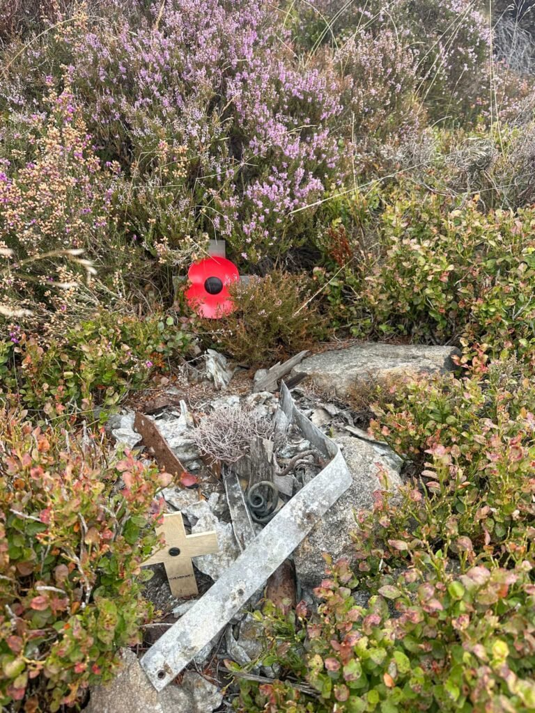
Wellington bomber on Kinder Scout grid reference: SK 11061 87551
There isn’t much debris left here, and it was hard to locate. I saw a bald patch in the heather which looked a likely suspect, and then looking back up to the rocks I saw the debris pool. Photos taken, I climbed back up to the top path and we set off west.
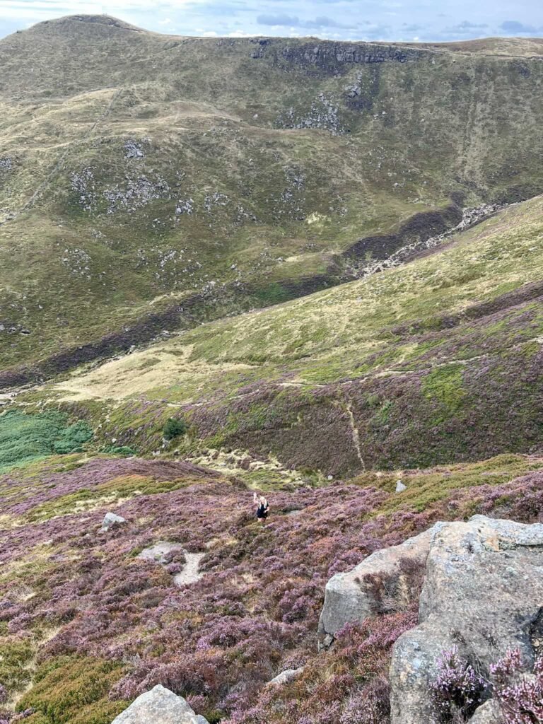
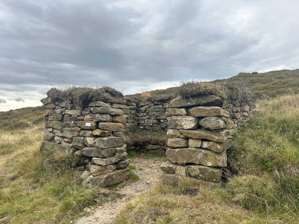
There’s a faint path running off to the right, over a stile. This path heads away from the main perimeter path to the north west and we followed the stream (which was bone dry on this walk – you can see what it’s usually like on the Edale to the Dragon Rapide on Kinder Scout | 7.5 Miles walk) to the site of Four Jacks Cabin. This was a cabin built in 1870 by four men named Jack, but now a small walkers shelter sits on the site.
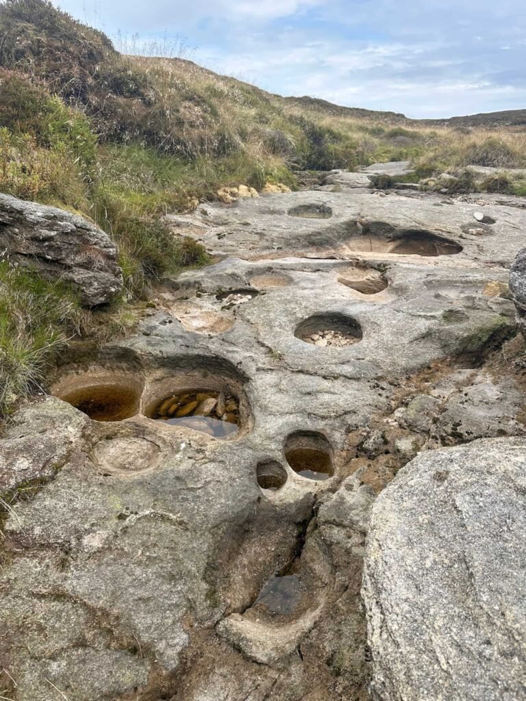
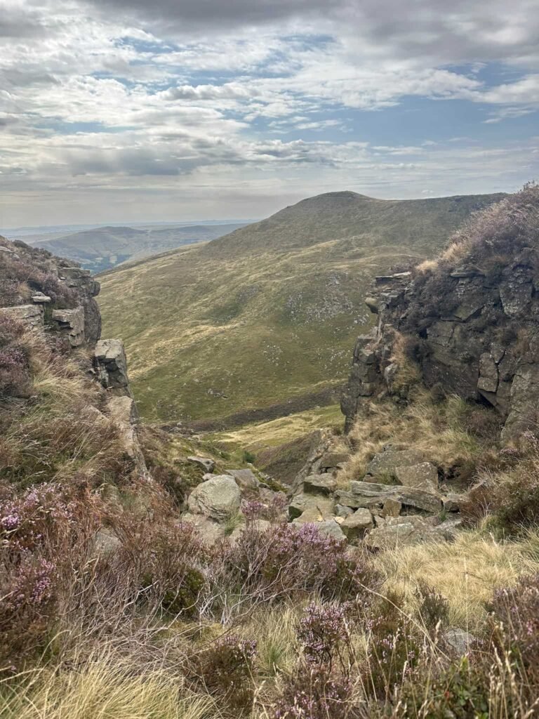
From the cabin we set off east to a rocky outcrop, and then from these rocks followed a bearing south to reach the site of the Avro Anson on Edale Moor.
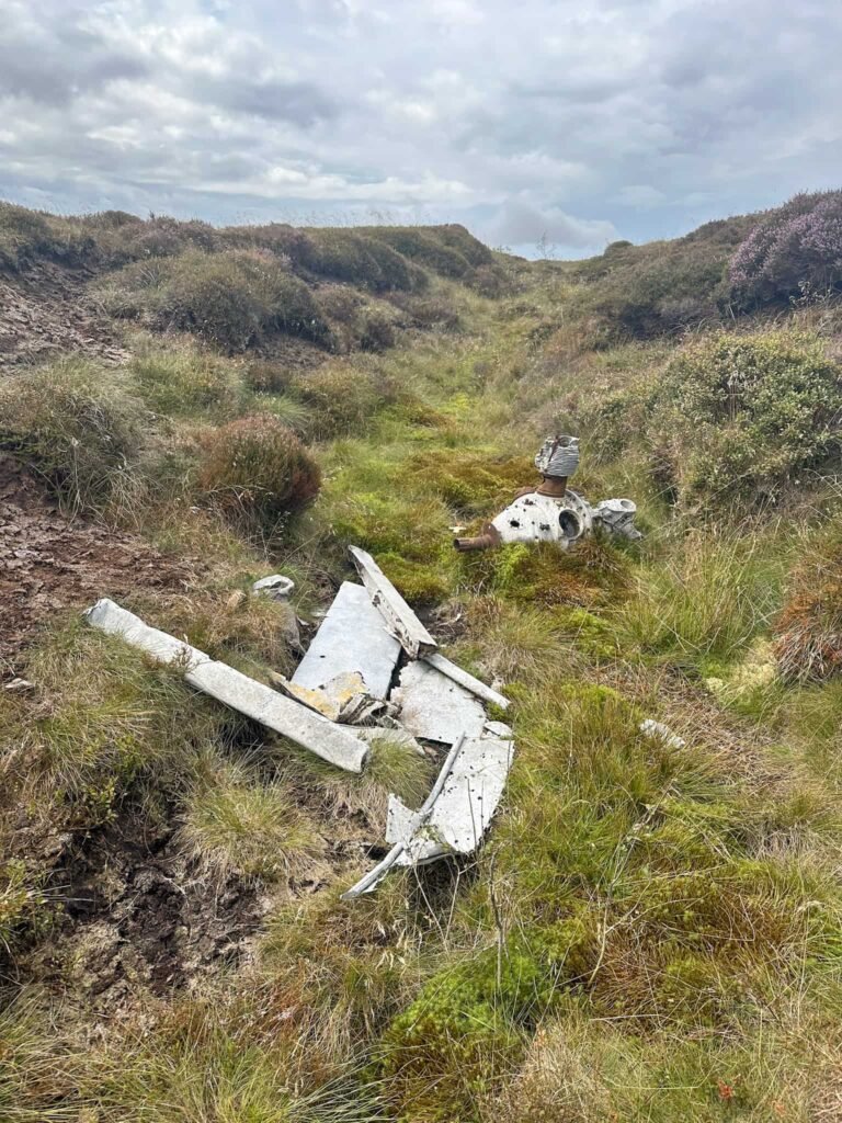
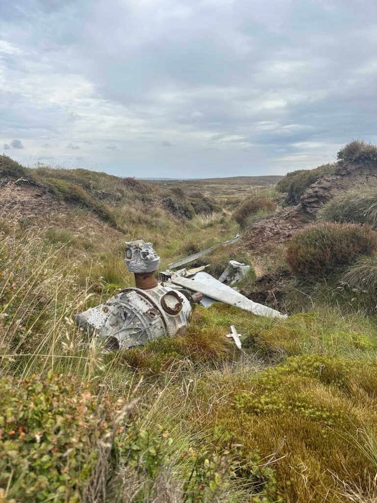
Avro Anson on Edale Moor grid reference: SK 10114 87858
We continued to pick up a grough we could follow, and walked in this to reach the newly slabbed path. We then walked south to the top of Crowden Clough before turning left and following the path to the base of Grindslow Knoll.
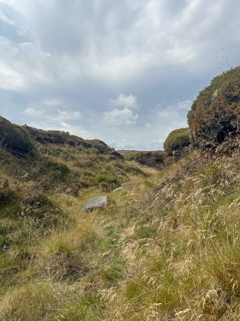
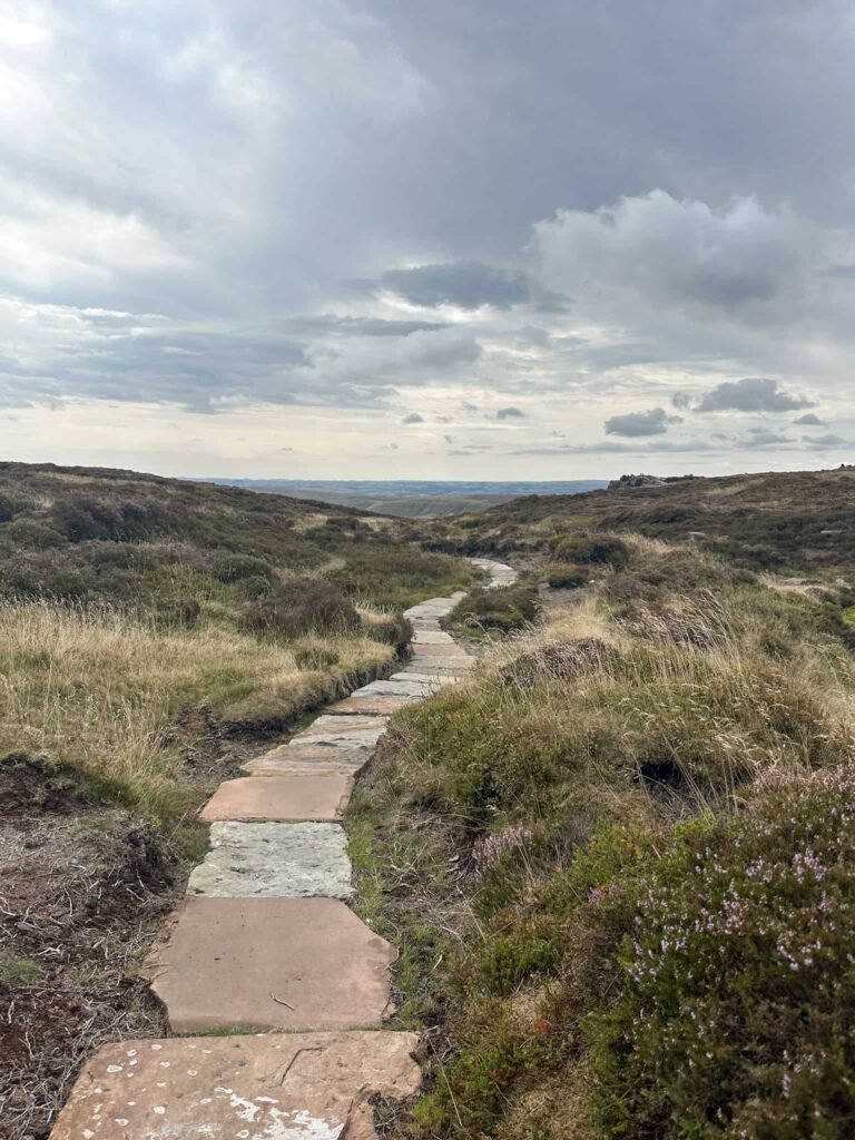
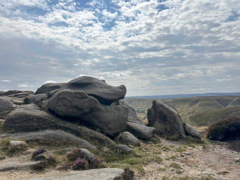
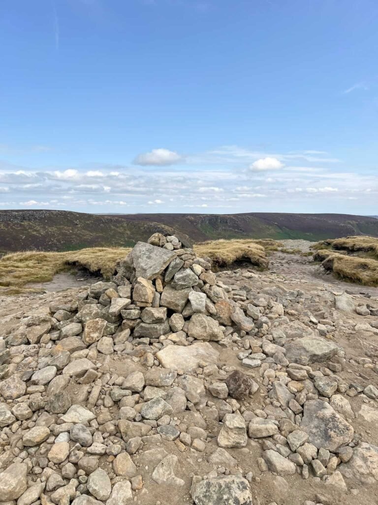
The paved path runs out, and then it’s a climb up to the summit of Grindslow Knoll, marked by a low cairn.
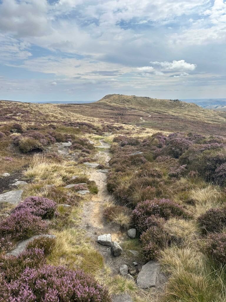
The route continues up and over, heading down the steep rocky path back to a gate, then through a field, then heads back into Edale.

Our walk finished with a pint and some lunch in the Old Nags Head beer garden, but we then walked back down the road, passing the Rambler Inn, and under the railway bridge back to the car park.
If we hadn’t already been to the Dragon Rapide crash site, this would be another great place to visit as it’s not far from Four Jacks Cabin or the Avro Anson crash site – it’s at SK 10160 88241.
Walk Map (Opens in OS Maps): Kinder Scout Plane Crash Sites (Wellington and Avro Anson) Walk Map
Parking: Edale Car Park, Water Meadows, Hope Rd, Edale, Hope Valley S33 7ZQ W3W:///loudly.consoled.copper. Pay and display – cards and cash. There is an overflow car park which sometimes operates near the railway station, and Edale station itself has 20 parking spaces.
Dogs: From 1 March to 31 July (annually) it is the law under the Countryside Rights of Way (CROW) Act 2000, to keep your dog on a lead of no more than 2 metres on Open Access land and at all times around livestock. There are usually sheep on Kinder Scout.
Facilities: There are toilets in the car park, as well as the Penny Pot Cafe and two pubs.
Walk Time: 4-5 hours
Difficulty: ▲▲▲
Distance: 6.5 miles (10.5km)
Trig Points Bagged: None
Peak District Peaks Bagged: Grindslow Knoll
Peak District Ethels Bagged: Grindslow Knoll
You might also like:
- 13 Spectacular Walks From Edale
- Kinder Scout Plane Crash Sites: Anson NL185 and Harvard FT415 via Crowden Clough | 4.6 Miles
- Edale to the Dragon Rapide on Kinder Scout | 7.5 Miles
- Peak District Plane Crashes
- Brown Knoll Plane Wrecks Walk | 7.5 Miles
- Sabres on Kinder Scout via Mill Hill and Upper Red Brook Scramble | 7 Miles