Harboro Rocks and Bolehill | 9 Miles


This walk from Cromford along the High Peak Trail takes in the Peak District Ethels of Bolehill and Harboro Rocks. This 9 mile walk also bags you two trig points, although only one is in the Peak District, and you get to explore Black Rocks as well.

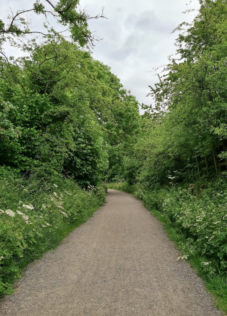
The High Peak Trail runs along the former Cromford and High Peak Railway line and is a great place for cyclists and walkers. It runs for 17 miles from Dowlow to Buxton.
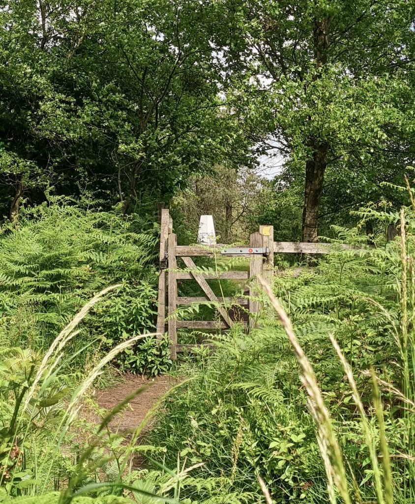
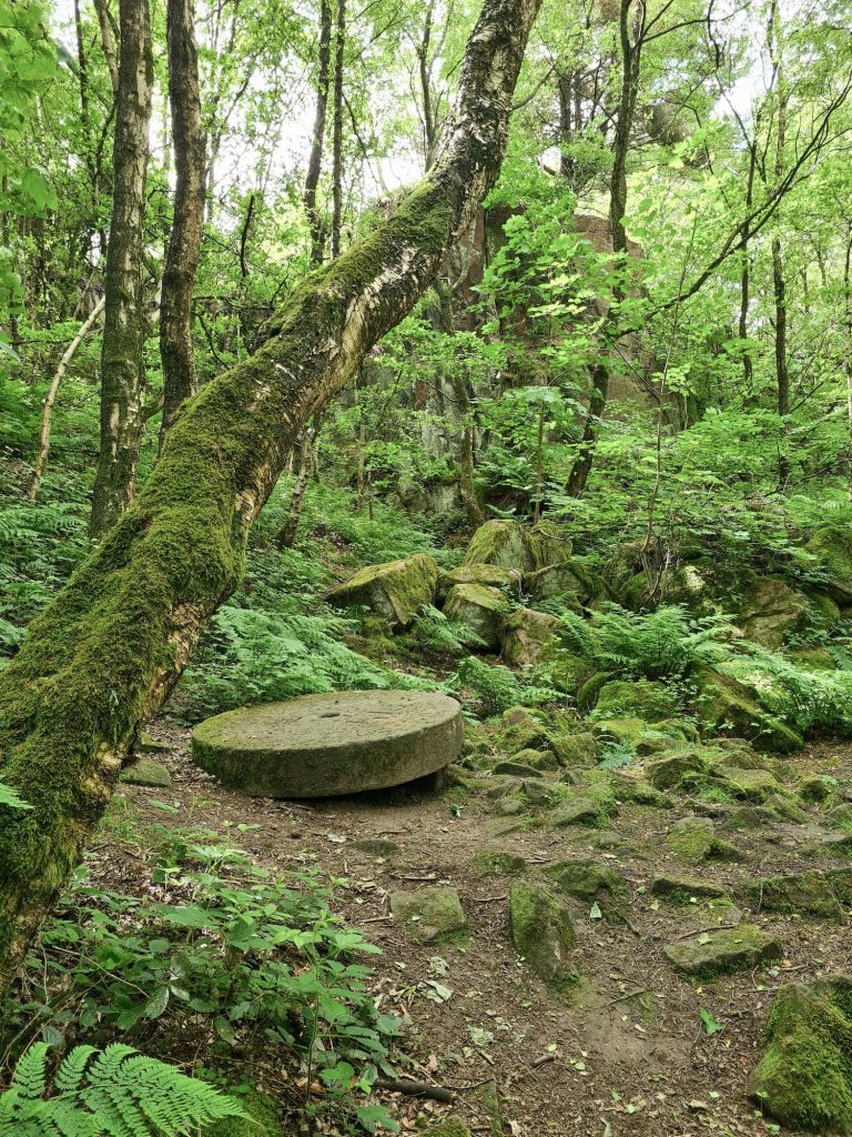
Our walk starts from the Black Rocks car park, where there is a visitors centre, cafe and loos. We headed up the lane from the car park then through a small gate, following a public footpath as it wound up through the woods. You’ll be at the first trig point, Bolehill, in no time at all!

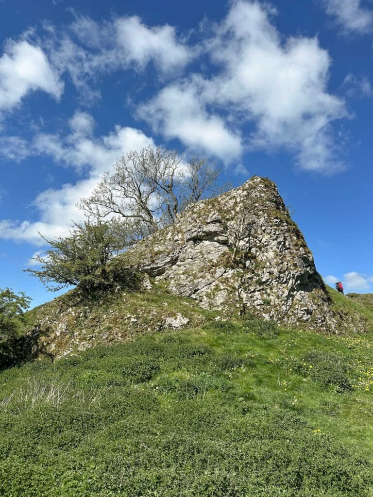
From the Bolehill trig point we walked back down through the woods, passing Black Rocks on the way. This outcrop of gritstone has amazing views over the surrounding valley and is a popular place for people to come. We had a clamber on the rocks and then headed down the hill.

We walked past the visitors centre, before heading off along the High Peak Trail towards the car park next to the Eco Centre. Here we left the High Peak Trail and headed up past the Eco Centre, across the road and down a track towards Middleton Top.
There is another trig point at Middleton Top but it’s on private farmland, so we couldn’t access it (or even see it very well!). This isn’t in the Peak District either so it doesn’t matter too much for our Peak District trig point challenge log.
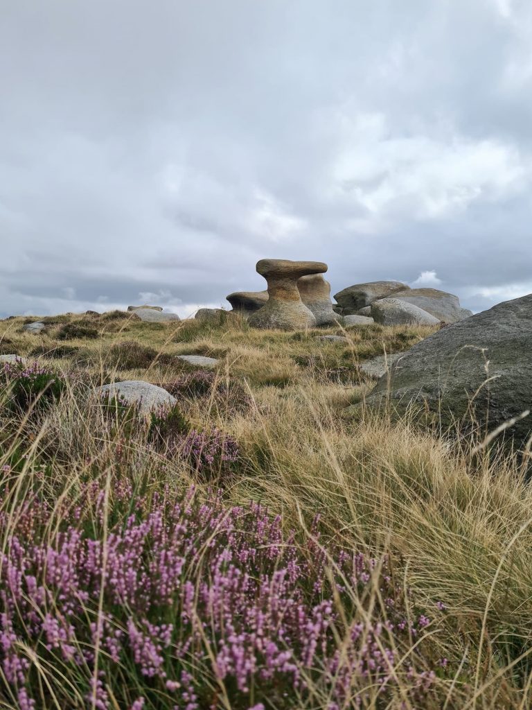
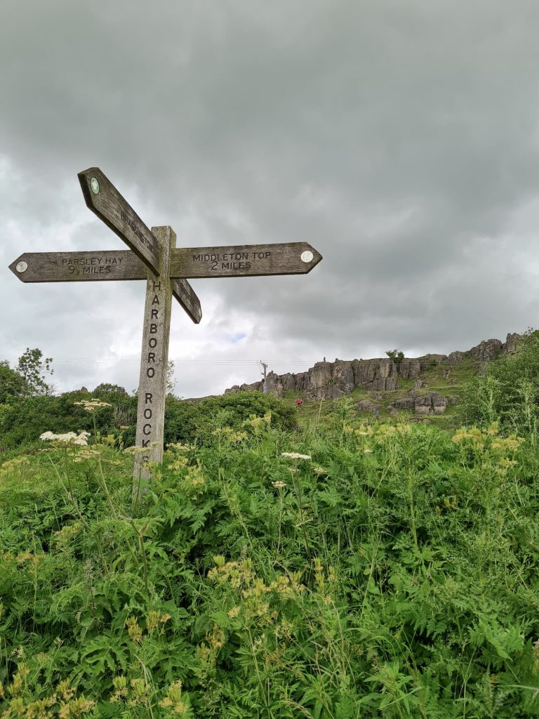
From here we followed the footpaths over the fields, past the huge wind turbines, and then followed a farm track by the stunning New Harboro Farm. The path heads up the hill to Harboro Rocks, which is a really popular place for people to climb and picnic. Here our route has a very unnecessary lap of the field before heading off back from the trig point down past the cement works and onto the High Peak Trail.


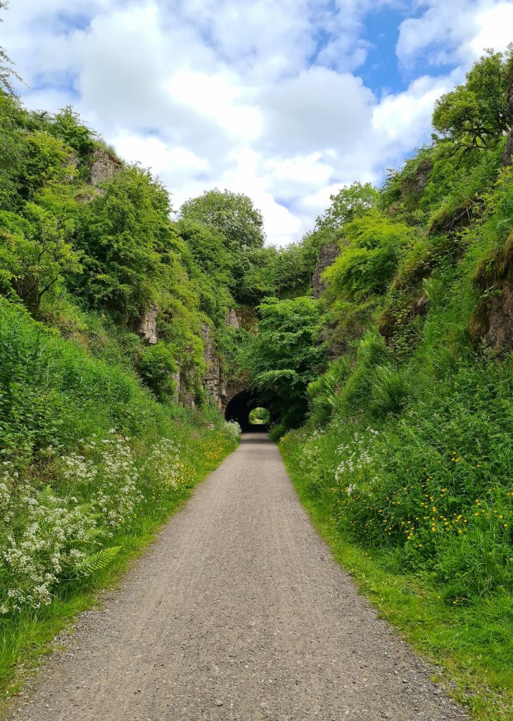
The High Peak Trail heads past some really interesting stuff, especially if you are into old railways. The route itself follows the line of the abandoned Cromford and High Peak Railway. We passed through Hopton Tunnel, before dropping down Hopton Incline which is a famously difficult incline – apparently the steam engines needed a few goes at getting up here! Luckily we were heading down the old track, rather than up.
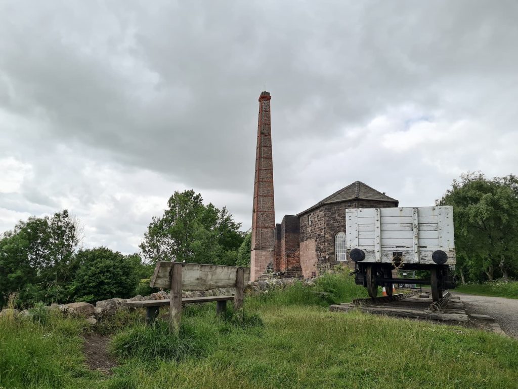
At Middleton Top there is the Middleton Top Engine House, with a beautifully preserved engine inside. This is still in working order, despite having been built in 1829. There is also a cafe and toilets, and a cycle hire shop.
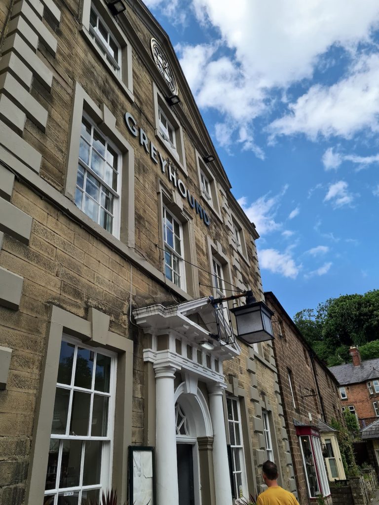
From here we headed back along the High Peak Trail, past Steeple House Station, and back to the Black Rocks car park. We drove into Cromford to The Greyhound Hotel for a lovely pub lunch – I highly recommend the Rigatoni Primavera.
Here’s the route details for this walk along the High Peak Trail:
Harboro Rocks Walk Map:

Walk Route in OS Maps: Black Rocks and Harboro Rocks
Parking: Black Rocks Car Park (pay and display), Wirksworth, Matlock DE4 4GT
Facilities: Public toilets and cafe at the car park
Walk Time: 3-4 hours depending on speed and fitness
Difficulty: ▲▲
Distance: 9.25 miles (14.8 km)
Trig Points Bagged: Harboro Rocks (and Bolehill which isn’t a Peak District trig!)
Peak District Peaks Bagged: Harboro Rocks and Bolehill
Peak District Ethels Bagged: Harboro Rocks and Bolehill