Redmires Reservoirs and Lodge Moor POW Camp | 6 Miles
This 6 mile walk sets off from Wyming Brook and heads up onto the surrounding moorland in search of two fascinating wartime sites, the WW1 practice trenches on Hill 60, where the Sheffield City Battalion, better known as the Sheffield Pals, trained before being sent to the Somme, and the remains of the Lodge Moor Prisoner of War Camp, once one of the largest POW camps in Britain. With varied terrain and some genuinely moving history along the way, it’s a walk that proves there’s far more to these moors than you think.
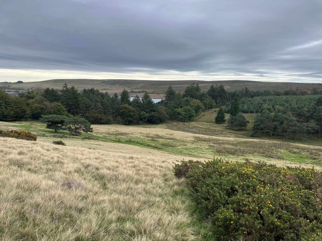
Walk Overview
- Distance: 6 miles with varied terrain throughout
- Starting point: Wyming Brook near Redmires Reservoirs, on the western edge of Sheffield
- Parking: Wyming Brook Nature Reserve Car Park – free
- Terrain: A mix of moorland paths, woodland tracks and open access land, with some uneven and boggy ground underfoot
- Difficulty: Moderate, suitable for walkers with a reasonable level of fitness
- Points of interest: WW1 practice trenches at Hill 60, the site of the Lodge Moor POW Camp, the Redmires Reservoirs.
Route Highlights
- Redmires Reservoirs, a peaceful area with lovely views back towards Sheffield
- Hill 60, where the earthwork remains of WW1 practice trenches can still be traced across the moor, used by the Sheffield Pals to train before deployment to the Western Front
- The site of Lodge Moor Prisoner of War Camp, once one of the largest POW camps in the country, which held prisoners through both World Wars, including a German U-boat commander during WW1
- A real mix of scenery, from open moorland to quieter woodland paths, making for a varied and reflective walk
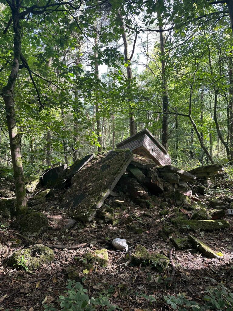
The walk starts from the Wyming Brook Nature Reserve car park. We left the car park, turning right onto Redmires Road, passing the stone carving which is all that remains of the Grouse and Trout Inn. It was bought by William Wilson and closed in 1934 as it was too near his land, and he didn’t like it!
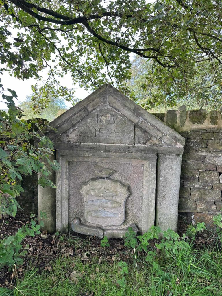
We walked up to the other large car park. Here we turned right and climbed the track which leads onto Open Access Land, then followed the path north-west through the quarry to the war memorial. Annoyingly, a few metres to the north of where we walked is the remains of a trench but we walked past, not realising!
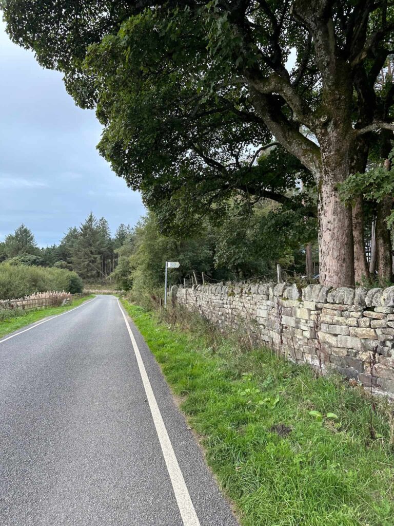
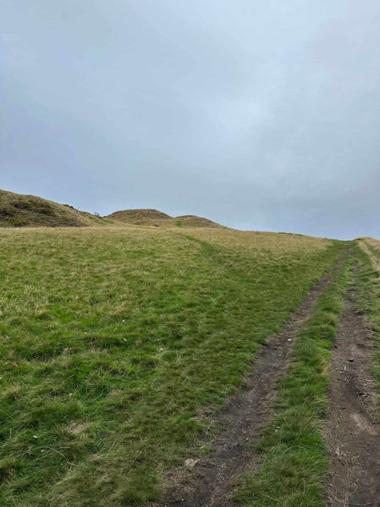
We followed the path which runs to a wall, then looped back down the hillside to the southern flank of the hill. This hill was known as Hill 60. Hill 60 is where a series of frontline trenches, gun emplacements, platforms and pits were cut into the moorland so the Sheffield City Battalion, the “Sheffield Pals,” could train in trench warfare before being sent to fight on the Western Front.
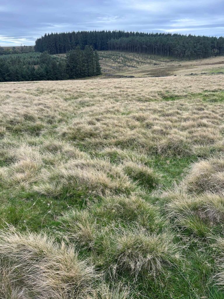
It’s hard to see the trenches straight away, but after wandering about on the hillside for a short while we soon got our eye in. You can make out crenelated shapes in the grass where the zig-zag trenches would have been. They’ve since been filled in however.
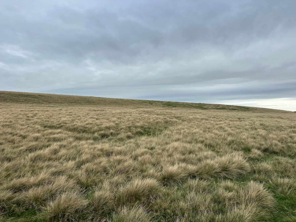
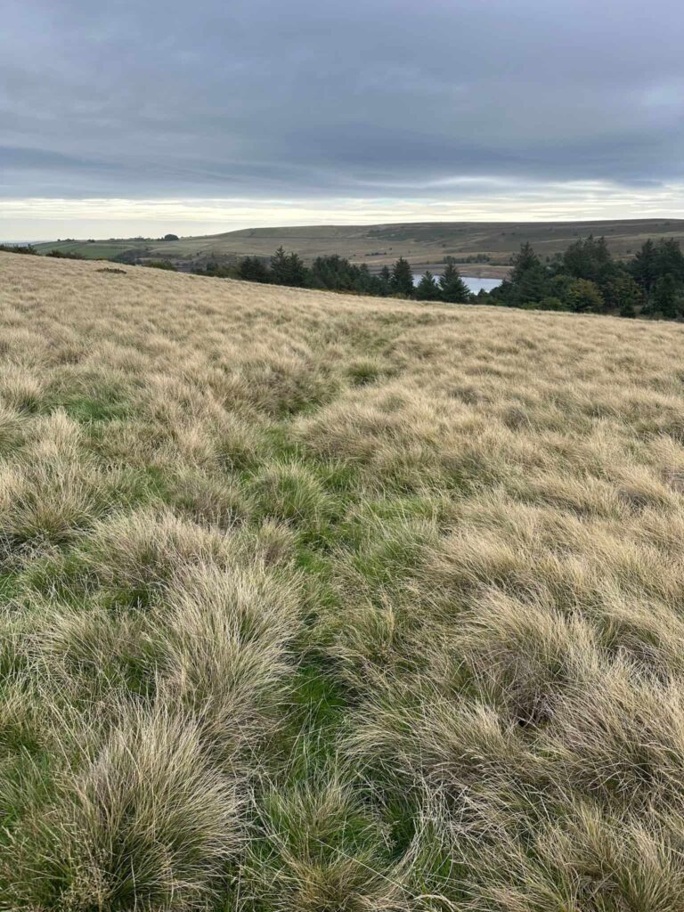
After exploring the site we dropped down the hillside to the track, and followed this back out into the car park. We left the car park, turning right onto Redmires Road, and walked up to the top of the road.
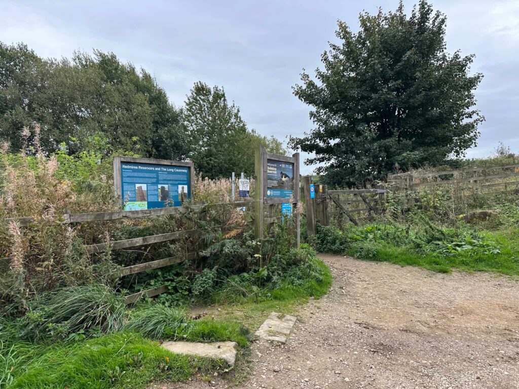
The route then takes a left through a wooden gate and onto the tracks running east, skirting the bottom of the three Redmires Reservoirs.
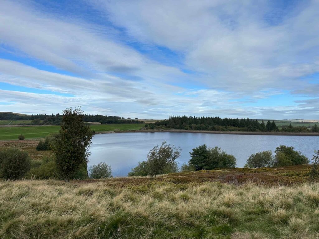
At the end of the third reservoir, we passed through a wooden gate onto a track which leads out onto the road. We turned left, heading north along the road towards Wyming Brook Farm, and then picked up the public footpath on the right hand side of the road, through a squeeze gate.
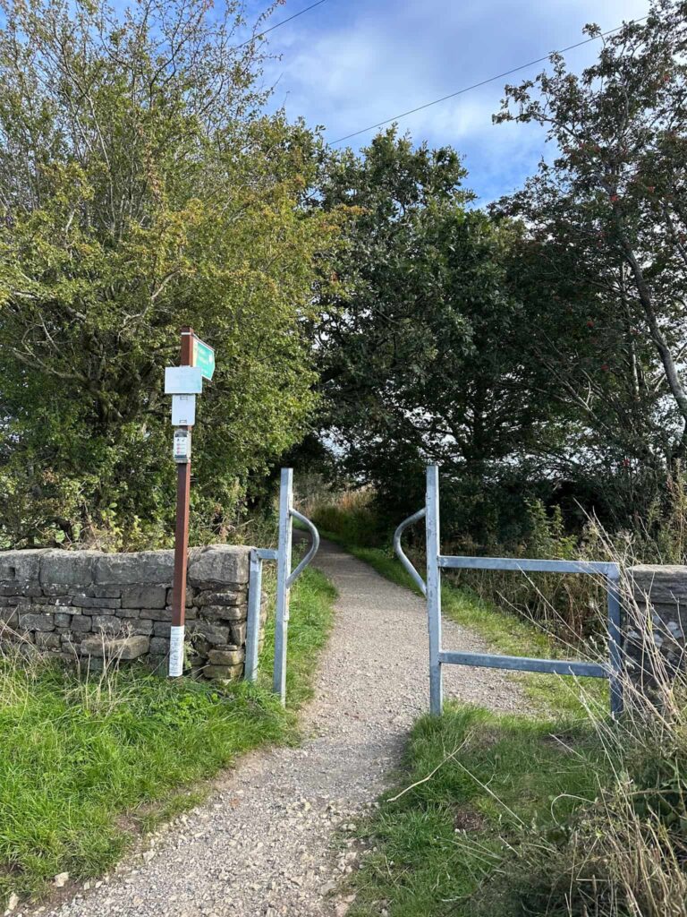
This footpath runs alongside an open area which was once a racecourse! It was established at Redmires/Lodge Moor in the early 1900s, complete with a grandstand. It didn’t last long though – the site proved too remote to draw decent crowds, and the course was abandoned after just two or three years.
The land was later bought up to use as a training ground for Volunteers, and eventually became part of the same wider Redmires camp that was used for WW1 trench training and, later, as the Lodge Moor POW camp.
Lodge Moor Prisoner of War Camp was once one of the largest POW camps in Britain, holding German captives through both World Wars, and among its most notable prisoners was Karl Dönitz, a young U-boat commander held there briefly in 1918 after his submarine was captured, who would go on to briefly succeed Hitler as head of state in 1945.
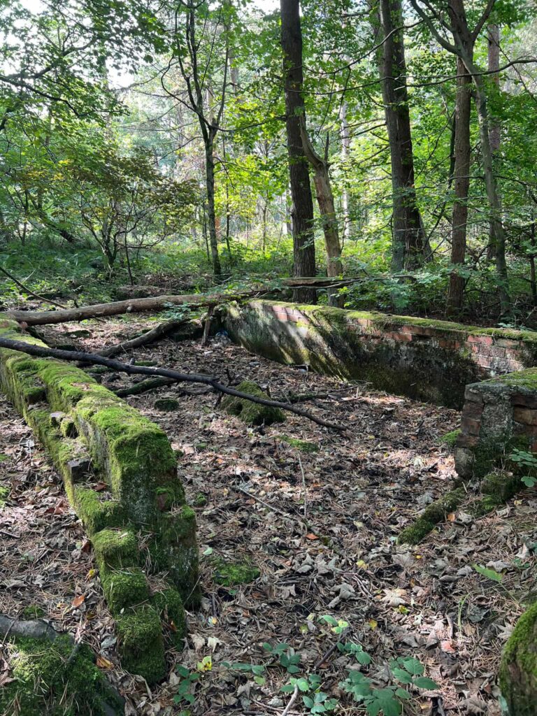
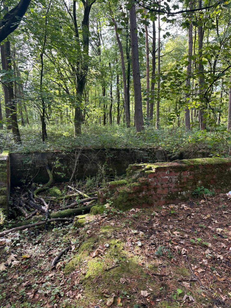
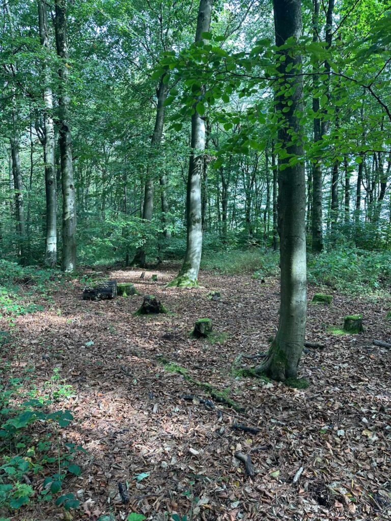
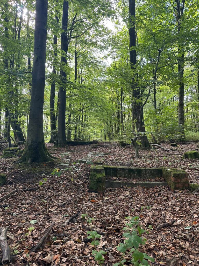
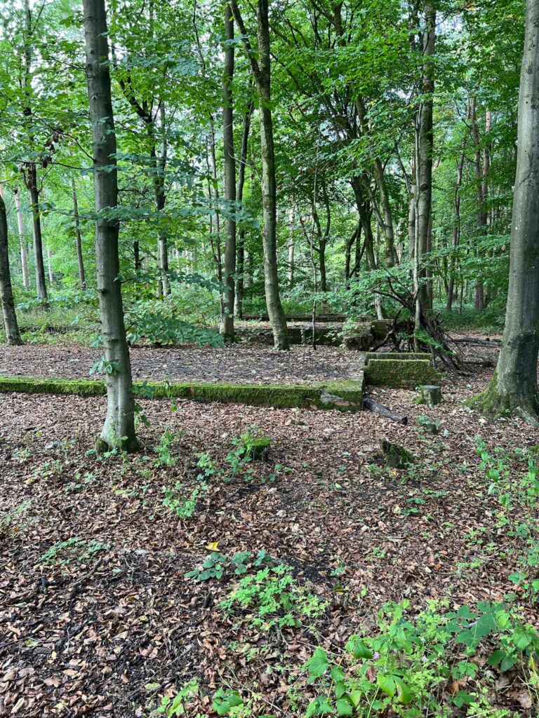
We turned left into the field and then followed a track into the woods where the remains of the Lodge Moor POW Camp can be found. Little remains, however there are lots of concrete foundation pads where buildings once sat, some with steps leading up to them. You can read more about the camp on this great website, 28 Days Later, where there are some images of the camp in its heyday.
There is a path running through the woodland which leads out into a car park behind the closed pub The Sportsman. We turned left and walked up Redmires Road a short distance to The Three Merry Lads pub. The footpath runs through the beer garden, past the goalposts, and drops down into woodland.
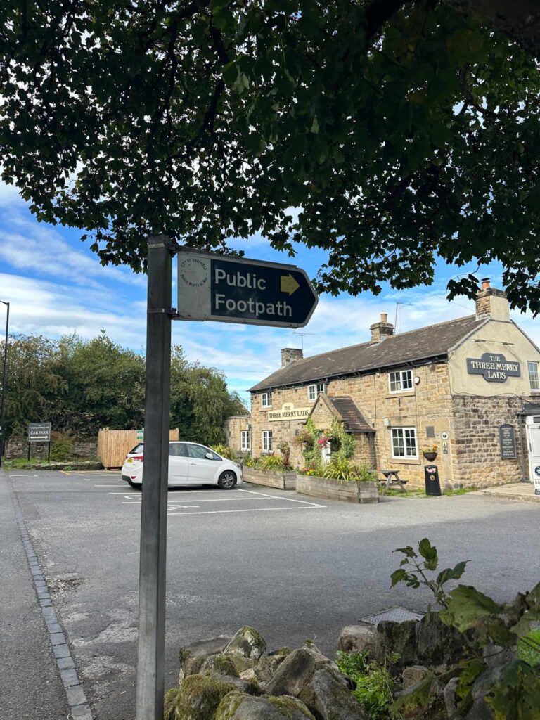
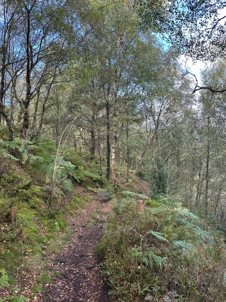
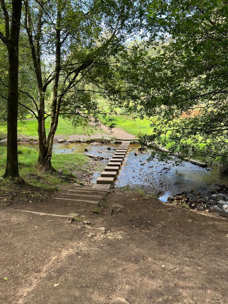
If you’re feeling energetic and want a walk up through Wyming Brook, you can take the right hand path at the fork but we stuck to the top level and followed the winding path through the woods until eventually descending to some stepping stones over Wyming Brook. Crossing these and bearing left, it’s a short walk back to the car park.
This is a great walk if you’re a history buff. I did a lot of reading about the Sheffield City Battalion after this walk and their story is especially heartbreaking. The Pals website has a lot more information on them and is a great resource. Sadly very few of the Sheffield Pals returned home from the Somme Offensive, with half the unit being lost in a single day in a disastrous attempt to capture the village of Serre.
Walk Map (Opens in OS Maps): Redmires, Stanage Edge and Spooky House Walk
Parking: Wyming Brook Nature Reserve Car Park, Redmires Road, Sheffield S10 4QX – free as of September 2026. W3W:///damp.reason.crash. It’s a small car park which fills up fast on busy days so get there early for a space.
Facilities: None but the walk does pass The Three Merry Lads, which does some nice food.
Walk Time: 4-5 hours
Difficulty: ▲▲
Distance: 5.7 miles (9.1km)
Elevation: 625 ft (191m)
Trig Points Bagged: None
Peak District Peaks Bagged: None
Peak District Ethels Bagged: None
You might also like: