Flask Edge and White Edge | 8 Miles
This is a Peak District trig point walk which will bag Flask Edge trig point and White Edge trig point, and take you on a circular walk around Big Moor. Starting from Curbar Gap car park, this 7.6 mile walk is relatively level with only one or two steep climbs, but the views from White Edge make it worthwhile.
We did see some cows on Big Moor, as well as some deer, so if you’re not keen on cows it might be one to avoid.
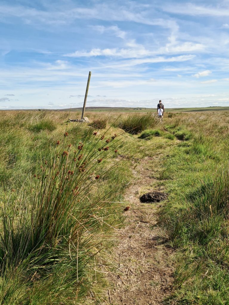
We started our walk at the Curbar Gap car park and headed north-east through the wooden gate. The path takes you over the moor, with a moderate climb which brings you to a signpost. We went right to start the Big Moor circular walk.
The walk takes you across Big Moor, which is famous for having an abundance of wildlife including adders (we didn’t see any), deer, tons of birds and the roaming herds of cows. We came across a large herd by a lake, who were pretty chilled, and another herd by the gate near the farmhouse next to the old reservoir.

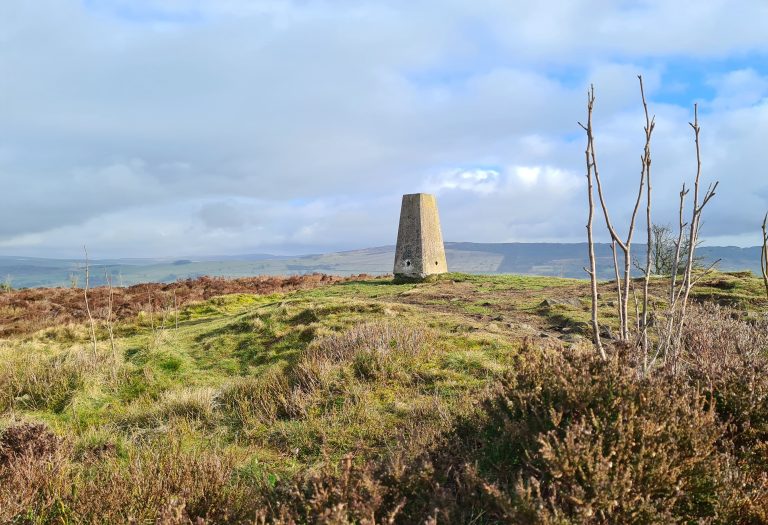
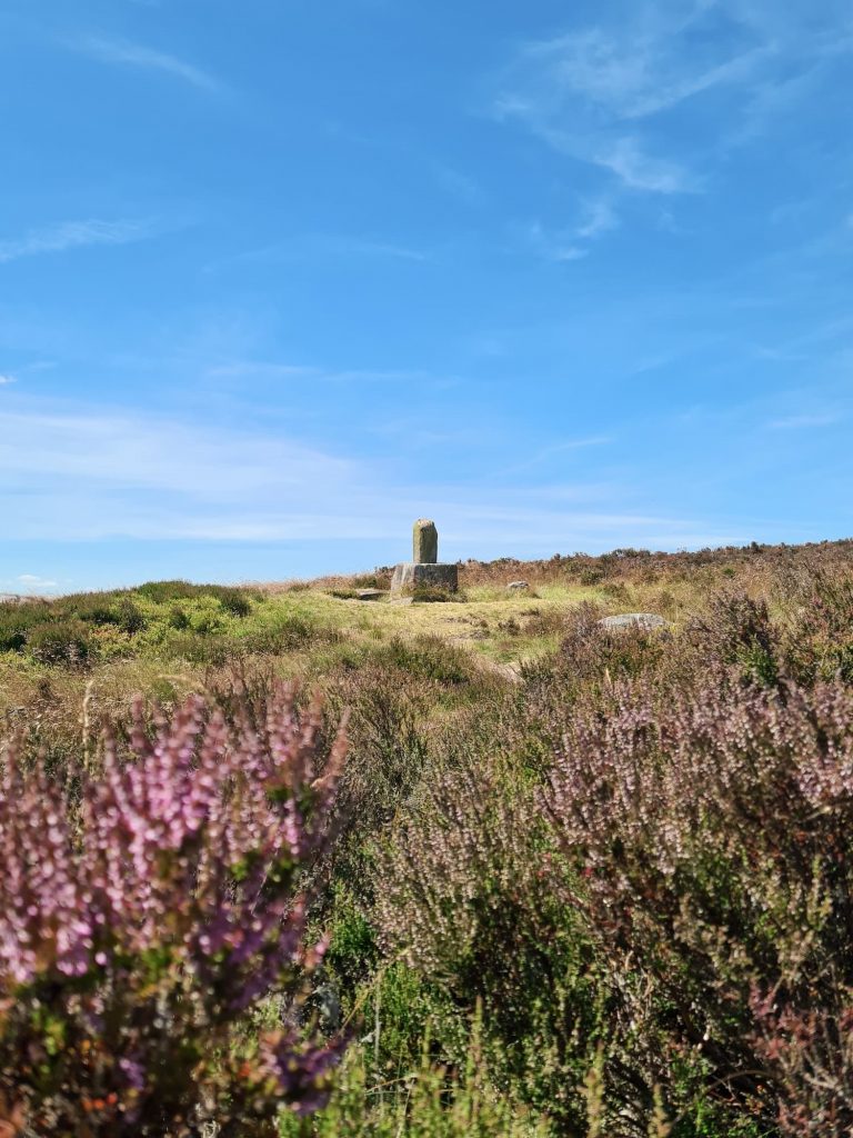
Flask Edge trig point
The paths are pretty easy to follow, and we followed them to the road where we crossed and headed over to Flask Edge trig point.
Photos taken, we retraced our steps back onto the footpath and headed back towards the road via Barbrook Bridge. We crossed the road and headed through the gate back onto Big Moor, past the remains of the Lady’s Cross.
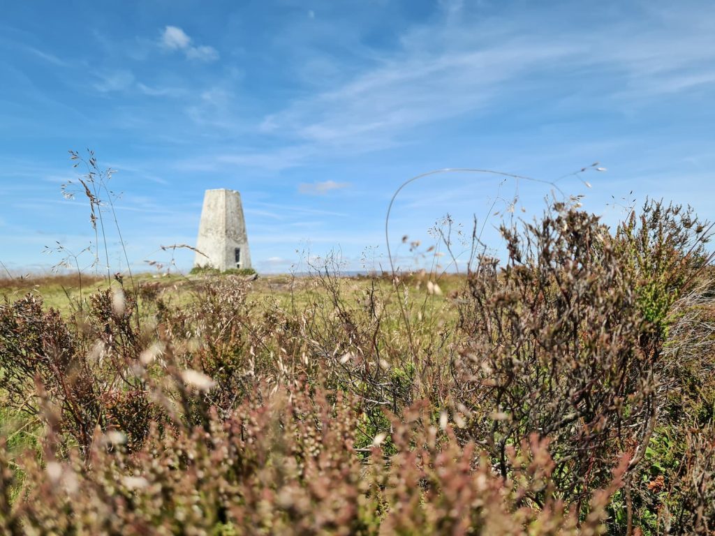
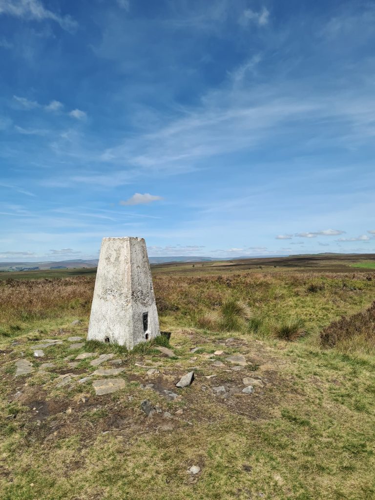
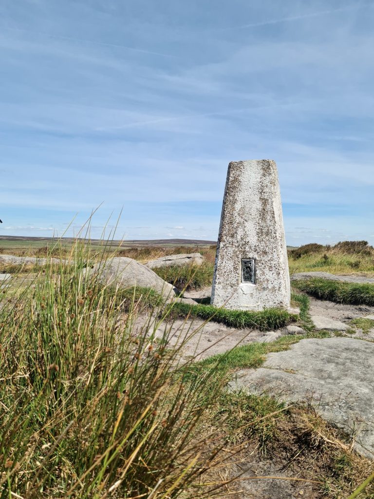
We headed along White Edge Moor towards the Hurkling Stone (sadly I couldn’t get any photos as there were about 100 people having lunch on or around it), then followed the Edge to the White Edge trig point.
White Edge trig point
Just to the right of the trig point there was a group of girls cooking beans on a camping stove. Please don’t take fires onto the moors! In summer they’re super dry and flammable (peat is a fuel), and taking any naked flames on the moors is just idiotic. Camping stoves can cause no end of damage – this wildfire on Win Hill was caused by a camping stove. Please be #mooraware and don’t start fires on the moor! Take all your rubbish home with you too.
We headed away from White Edge trig point, back down the moor to the signpost we passed earlier, then back to the car park.
Here’s the route map for this Big Moor circular walk.

Walk Map (Opens in OS Maps): White Edge, Flask Edge and Big Moor Circular
Parking: Curbar Gap car park, Clodhall Lane, Hope Valley S32 3YR (National Trust)
Facilities: None but there was a coffee van in the car park when we left
Walk Time: 3-4 hours depending on speed and fitness
Difficulty: ▲▲
Distance: 7.62 miles (12.3)
Trig Points Bagged: Flask Edge, White Edge
Peak District Peaks Bagged: Totley Moor
Peak District Ethels Bagged: None
You might also like:
Curbar Edge Walk with Froggatt Edge and White Edge