Redmires to Stanage Edge Walk (With Spooky House)
This Peak District walk starts at Redmires and heads over to Stanage Pole, Stanage Edge and High Neb before returning over the moors past the “Spooky House” at Redmires (aka the old water board house at Oaking Clough). This walk is just over 6 miles long and is a lovely walk when the heather is in bloom.

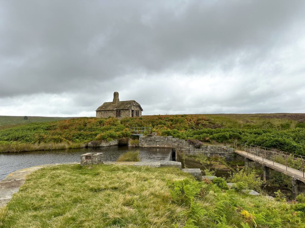
The Redmires Spooky House
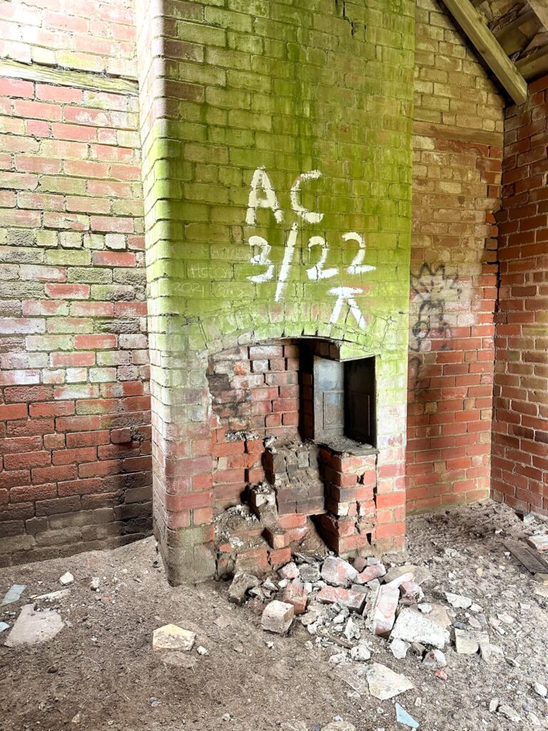
The Redmires Spooky House is actually an old Sheffield water board house, abandoned long ago. It stands alone on the banks of Oaking Clough and has a cracking view over the nearby moors. The building has two rooms, each with the remains of a substantial old fireplace range. Apparently one of the rooms was meant for water board workers and the other for game keepers and grouse shooters. Nowadays sadly it’s full of rubbish from fly campers – if you visit, please take all your rubbish home with you as I’m not sure who’ll be trekking out here to empty any bins!
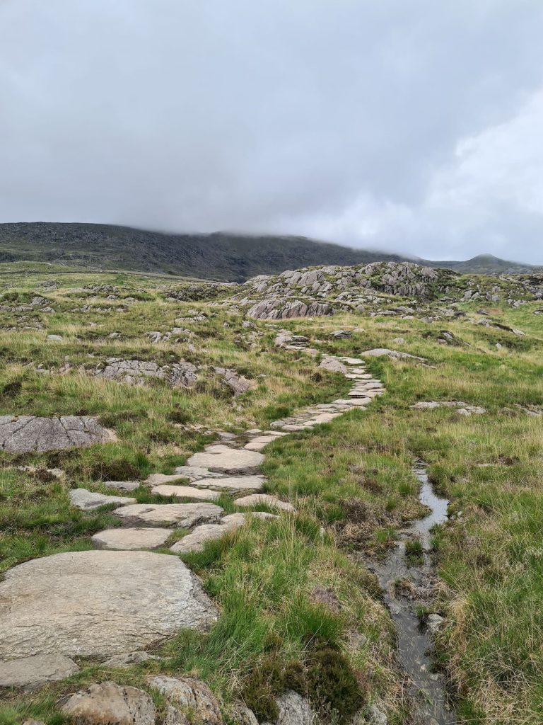
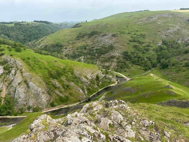
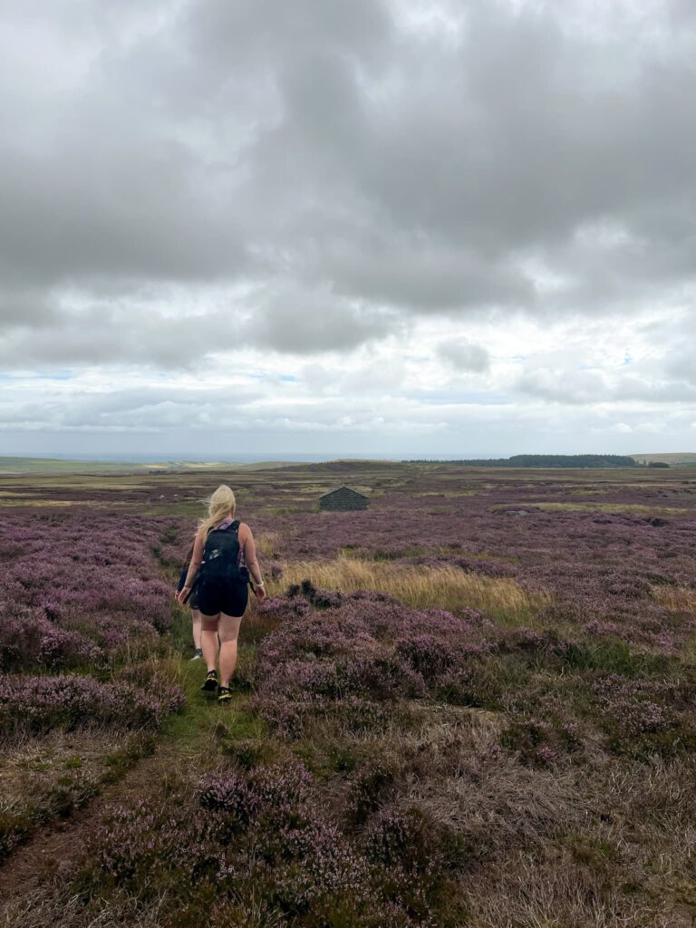
Our walk started in the free car park off Long Causeway near Redmires Reservoir. We headed out onto the road and followed it south to where the footpath heads south-west up onto the moors. The old packhorse track runs alongside a wood for a short while which opens out onto moorland and it was blooming with heather when we did this walk. The moors were a sea of purple!
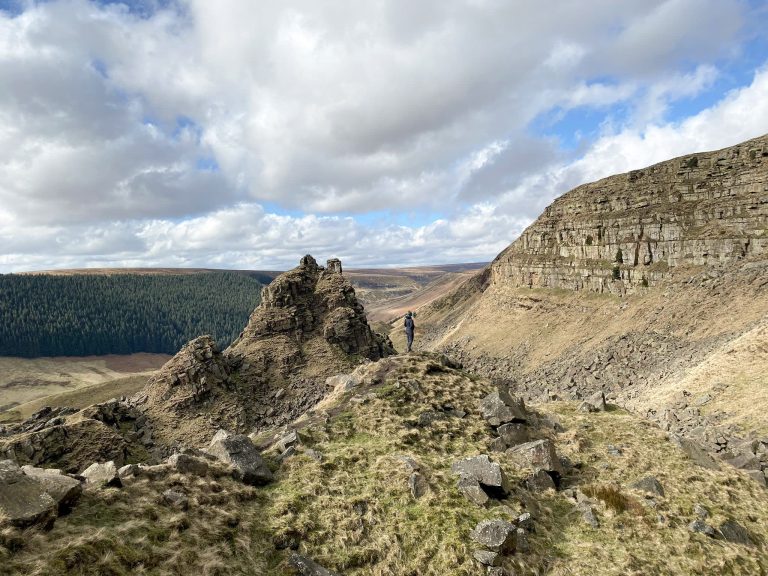
After about a mile of gentle walking we reached Stanage Pole which marks the boundary between Derbyshire and South Yorkshire. Good old Wikipedia tells me
“A pole has stood on the site since at least 1550. Many initials have been carved into the rock that supports it, and five can be identified as initials of the parish road surveyors who renewed the pole when needed. “T.C. 1550”, “H.W. 1581”, “T.M. 1631”, “H.H. 1697” and “F.N. 1740” are the marks of the parish surveyors and the date the pole was renewed. The pole is a way marker on a medieval packhorse road known as the Long Causeway or Long Causey which runs west from Sheffield. It was used for centuries as a boundary marker between the parishes of Sheffield, Hathersage and Ecclesfield.“


Walk Map (Opens in OS Maps): Redmires, Stanage Edge and Spooky House Walk
Parking: Redmires Plantation Car Park S10 4QZ W3W:///shower.opens.rents
Facilities: None
Walk Time: 4-5 hours
Difficulty: ▲▲
Distance: 6 miles (10km)
Elevation: 750ft (227m)
Trig Points Bagged: High Neb
Peak District Peaks Bagged: High Neb, Stanage Pole
Peak District Ethels Bagged: High Neb, Stanage Pole