• 3 Mile Walks or Less
  • 4 Mile Walks
  • 5 Mile Walks
  • 6 Mile Walks
  • 7 Mile Walks
  • 8 Mile Walks
  • 9 Mile Walks
  • 10 Mile Walks
  • 11 Mile Walks
  • 12 Mile Walks
  • 14 Mile Walks
  • 15 Mile Walks
  • 20+ Mile Walks

The Wandering Wildflower

Peak District Hikes

  • PEAK DISTRICT WALKS
    • SHORT WALKS UNDER 3 MILES
    • MEDIUM WALKS 4-9 MILES
    • LONG PEAK DISTRICT WALKS 10 MILES +
  • PEAK DISTRICT WALKS WITH PUBS
  • PEAK DISTRICT WALKS WITH KIDS
  • HOLMFIRTH WALKS

Aleck Low and Wolfscote Hill | 9 Miles

June 18, 2022 CIRCULAR WALKS, MEDIUM WALKS 4-9 MILES, PEAK DISTRICT WALKS, PEAK DISTRICT WALKS WITH KIDS, PEAK DISTRICT WALKS WITH PUBS

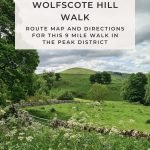
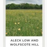
This Peak District walk takes you close to the summit of Aleck Low and to Wolfscote Hill. At 9 miles this walk through the Peak District National Park is lovely to do in Spring.

Views over to Gratton Hill from near Wolfscote Hill

Views over to Gratton Hill from near Wolfscote Hill

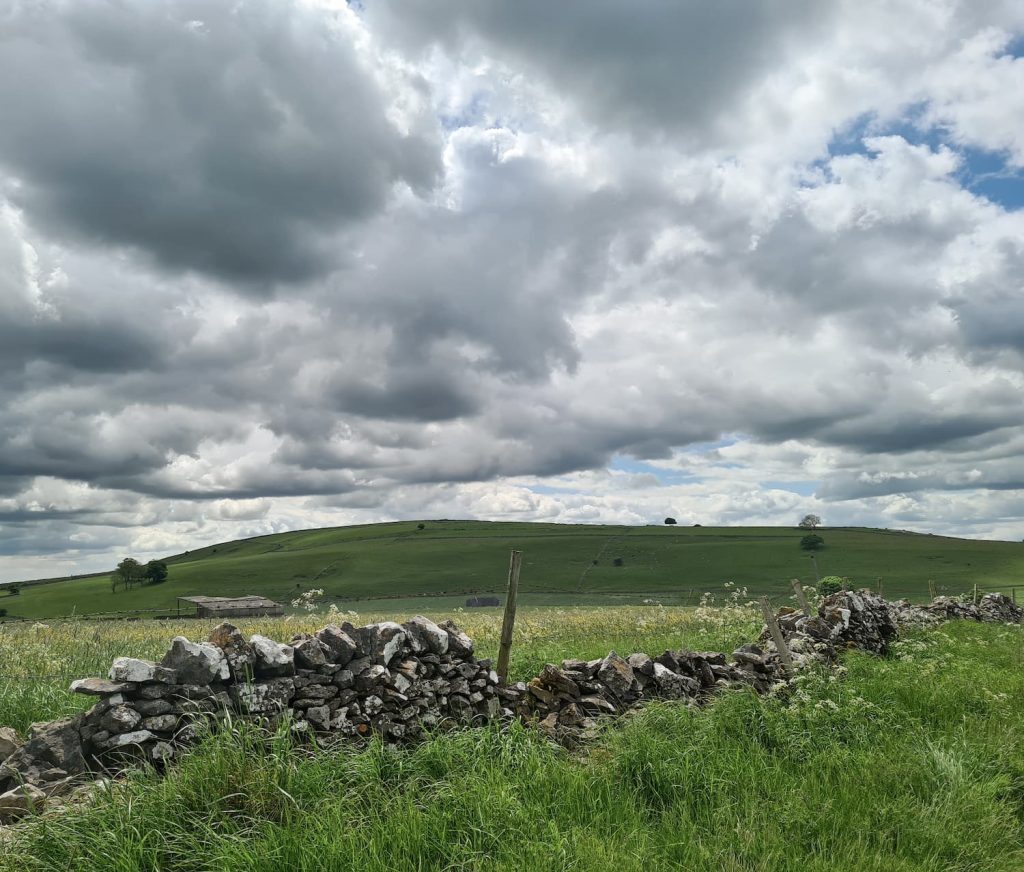
Our walk starts in Friden car park (which is also an ideal start point for exploring the Tissington and High Peak trails). The car park is free and there is a petrol station with loos a couple of minutes walk away.

The High Peak Trail in Spring

The High Peak Trail in Spring

A wooden footpath sign in a spring hedgerow in the Peak District

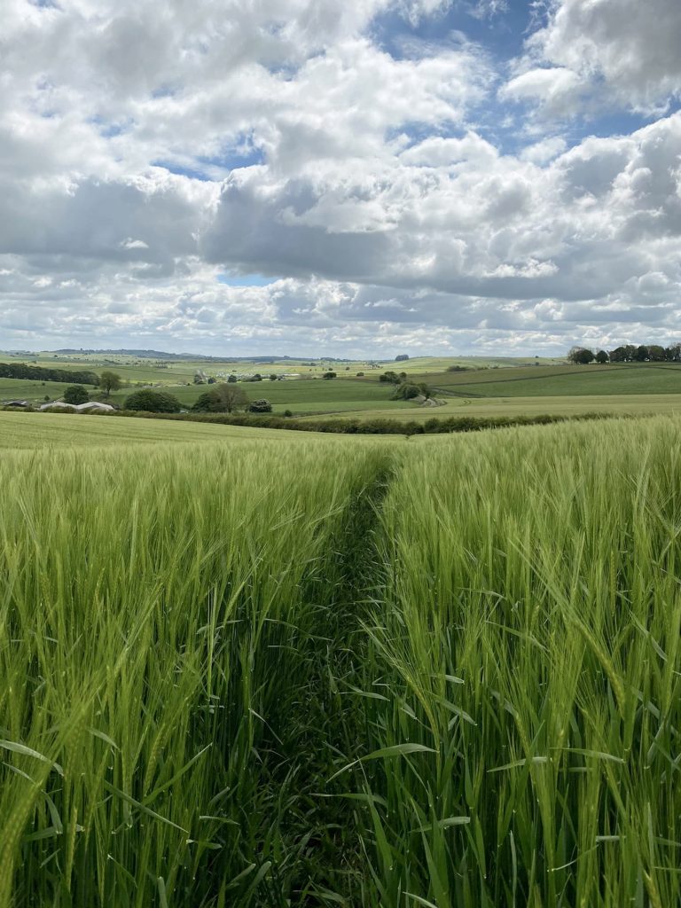
Heading south-east, we followed the High Peak Trail for approximately 1.25 miles, crossing the road and then heading up a farm track.  There is a footpath off to the right through the fields (which were planted with waist high  barley (I think)) with a very definite footpath to follow.

A woman and her daughter following a footpath through a barley field

Carefully following the footpath through the barley field

Views back through the barley field

Views back through the barley field

We passed through a couple of barley fields and then came to the field where Aleck Low is. The actual summit of Aleck Low is the site of a Bronze Age burial mound and is on private land. The Aleck Low trig point is also on private land unfortunately, being over in the next field from the footpath. We managed a quick snap of the trig point, sticking to the edge of the field.

The summit of Aleck Low surrounded by trees

The summit of Aleck Low surrounded by trees

Aleck Low trig point

Aleck Low trig point

After a snack or 3 for Hols, we then set off on our merry way towards Wolfscote Hill. We passed through the pretty village of Biggin, which looked lovely all decorated for the Jubilee, and The Waterloo pub (which does a lovely pie and mash, plus Holly loved the kids menu there).


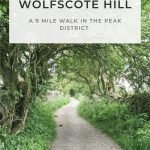
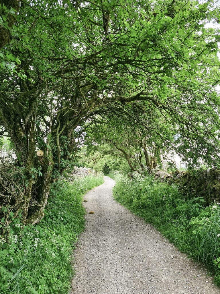
We followed a lane which winds up past the houses and between the fields, before heading along Reynards Lane towards Wolfscote Hill.

A country lane in the Peak District in Spring

A country lane in the Peak District in Spring

Wolfscote Hill as seen from a distance

Wolfscote Hill as seen from a distance

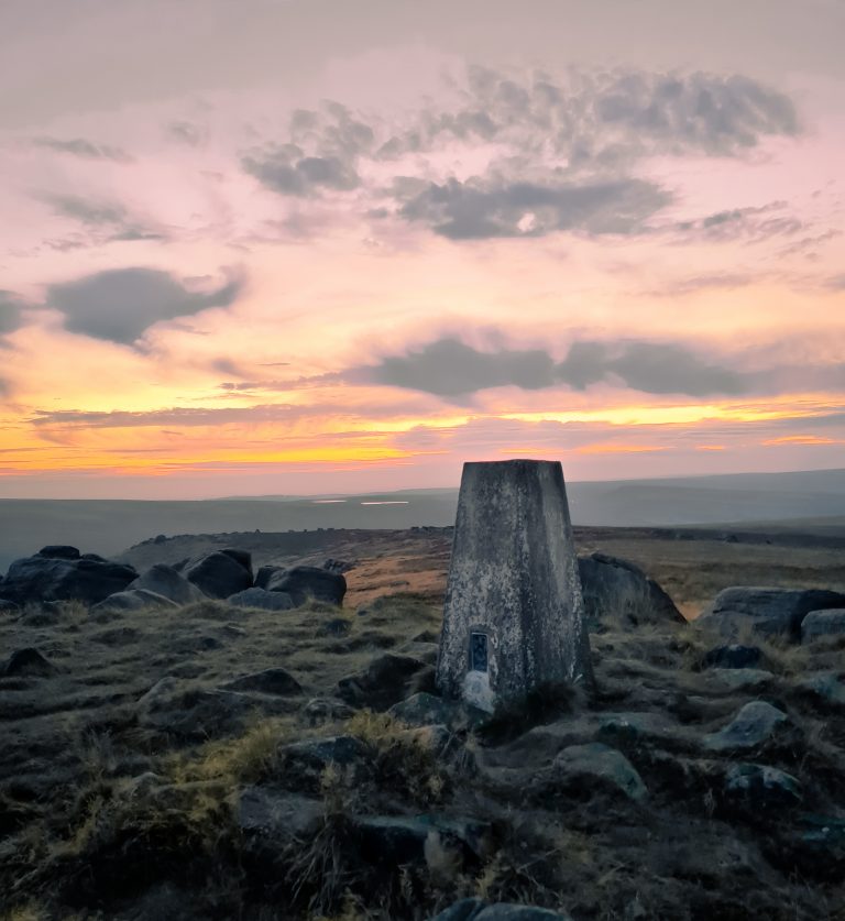
Wolfscote Hill Trig Point

We thought this would be a lovely easy trig point and Ethel to bag, but unfortunately not. When we visited there was some dispute over the ownership of the access to the trig point The Ethel Ready app says the land is being cared for by the National Trust but from doing a bit of research it would seem that the lease has expired, and the landowner has allowed the permissive access to lapse, meaning this is no longer Open Access Land. There are signs on the gates and relatively new fences have been erected, so this trig point is inaccessible for the time being. There are no other footpaths or ways to access the summit without trespassing.


UPDATE as of February 2023: You can now access the summit of Wolfscote Hill via the open access land. Head through the metal gate before the cattle grid and up the hill. It’s a steep climb but the views are amazing! We visited on 25 February and had no issues.


Update 26 April 2024 – Wolfscote Hill is now shown as private land on the OS Map and there is therefore no public access to the trig point. I believe there are plans to make a concessionary path from Reynards Lane but until this is in place you’ll need to ask permission to access the trig point. 


A white sign with red writing "No Public Access or Right of Way"


Following the lane back, we then took a little detour via Heathcote Mere, which is a very pretty spot to have a rest or a picnic, and then headed back to the car at Friden, walking alongside the Tissington Trail for part of the walk. We then headed back to Biggin to The Waterloo for a late pub lunch.

A large pond with bench seating

Heathcote Mere pond

The Waterloo pub in Biggin

The Waterloo pub in Biggin

Despite not being able to access the Wolfscote Hill trig point, this was a lovely Spring Peak District walk to do. The lanes are packed with wildflowers and we picked a lovely day to be out and about.


You might also like to explore:

A Beautiful Walk Through Wolfscote Dale & Biggin Dale

Wetton Hill, Narrowdale Hill and Gratton Hill Circular | 7 Miles


Aleck Low and Wolfscote Hill Walk Route:


Walk Route in OS Maps: Aleck Low and Wolfscote Hill

Parking: Friden car park SK17 0DY | W3W:///bleaching.riddle.best

Facilities: None in the car  park, however the nearby petrol station has loos and is next to Carriages Restaurant.

Walk Time: 3-4 hours

Difficulty: ▲▲ (Some steep climbs and boggy sections)

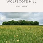
Distance:  9 miles (14.5 km) in total

Trig Points Bagged: Aleck Low and Wolfscote Hill are on private land, but we got as close as we could – you can access the trig point via the Open Access Land however as we did on this walk: Wolfscote Dale & Biggin Dale

Peak District Peaks Bagged: When we visited, Aleck Low and Wolfscote Hill were on private land, but we got as close as we could – you can access Wolfscote Hill via the Open Access Land however.

Peak District Ethels Bagged: When we visited, Aleck Low and Wolfscote Hill were on private land, but we got as close as we could – you can access Wolfscote Hill via the Open Access Land however.


Tap to share with your hiking friends!

  • Facebook
  • Email
  • WhatsApp
« Higher Shelf Stones via Ashton Clough Scramble | 6 Miles
Eccles Pike Walk via Sponds Hill and Black Hill | 12 Miles »

RELATED POSTS

  • Lathkill Dale waterfallLathkill Dale Waterfall Walk | 7 Miles
  • Sheen Hill trig pointSheen Hill Trig Point | 6 Miles
  • A view from Hallin Fell summit with the large stone obeliskWainwrights: 6 Eastern Martindale Fells
  • A woman walking on Kinder ScoutKinder Scout via Kinder Low | 9 Miles

Leave a Reply Cancel reply

Your email address will not be published. Required fields are marked *

FIND YOUR NEXT WALK:

ABOUT ME

Y Garn with Kids - Y Garn via the Devil's Kitchen Walk in Ogwen Valley

Hello! I’m Jo! Welcome to The Wandering Wildflower, an outdoors lifestyle blog focusing on family walks in the Peak District, a place we love exploring. I want to share the Peak District hidden gems and show you there’s so much more than the honeypot places. When I’m not dragging my husband and now 11 year old out on Peak District walks or up mountains, I can be found on planning my next moorland walk or plotting a Geocache walk (and seeing where the nearest pub is!). I love the hills but hate the heights, so trig bagging is – er- fun!


I hope this blog will give you some ideas of places to visit in the Peak District and inspire you and your family to head into the great outdoors.  Thanks for stopping by!

CATEGORIES

  • CIRCULAR WALKS (188)
  • HOLMFIRTH WALKS (27)
  • ISLE OF SKYE WALKS (3)
  • LAKE DISTRICT WALKS (24)
  • LANCASHIRE WALKS (2)
  • LONG PEAK DISTRICT WALKS 10 MILES + (42)
  • MEDIUM WALKS 4-9 MILES (136)
  • PEAK DISTRICT SCRAMBLES (16)
  • PEAK DISTRICT WALKS (202)
  • PEAK DISTRICT WALKS WITH KIDS (75)
  • PEAK DISTRICT WALKS WITH PUBS (60)
  • SCOTLAND WALKS (6)
  • SHORT WALKS UNDER 3 MILES (40)
  • SNOWDONIA WALKS (5)
  • UK CAMPING (5)
  • YORKSHIRE WALKS (33)

Peak District Walks

List of Peak District Ethels

Peak District Peak Bagging

Peak District Trig Point Challenge

Peak District Walks with Pubs

Peak District Walks with Kids

Beautiful Walks in Holmfirth

Short Walks in the Peak District

Long Walks in the Peak District

AFFILIATE DISCLOSURE

This blog may contain affiliate links through which, at no additional cost to you, I may earn a small commission. I only recommend products I would use myself and all opinions expressed here are my own. As an Amazon Associate I earn from qualifying purchases. Read full privacy policy here.

ARCHIVES

PEAK DISTRICT WEATHER

Peak District mountain weather on Met Office

Peak District Trig Points

Promo image for a blog post about the Peak District Trig Point Challenge With Map of Peak District Trig Points and Walking Routes by The Wandering Wildflower

Peak District Ethels Challenge

Promo image for a blog post about the Peak District Trig Point Challenge With Map of Peak District Ethels and Walking Routes by The Wandering Wildflower

WALKING ROUTES STRAIGHT TO YOUR INBOX

Want new walks in your inbox? Drop your email below and I'll send you some ideas for walks you can try.

You can unsubscribe anytime. For more details, review our Privacy Policy.

Thank you!

You have successfully joined our subscriber list.

RSS LATEST POSTS

  • Burnbank Fell, Blake Fell and Gavel Fell | 8 Miles
  • Bretton Park Circular Walk | 3 Miles
  • Hathersage Stepping Stones Walk | 7 Miles
  • Ladybower Walk | 6 Miles
  • Derbyshire Peak District Walks

FOLLOW ON PINTEREST

Want new walks in your inbox? Drop your email below and I'll send you some ideas for walks you can try.

You can unsubscribe anytime. For more details, review our Privacy Policy.

Thank you!

You have successfully joined our subscriber list.

jo@thewanderingwildflower.co.uk

The Wandering Wildflower

  • Email
  • Facebook
  • Instagram
  • Pinterest
  • PRIVACY POLICY
  • TERMS & CONDITIONS
  • ABOUT

(c) The Wandering Wildflower. All Rights Reserved.

|| THEME BY ECLAIR DESIGNS