Back Tor and Ughill Moors Walk From Bradfield | 14 Miles
If you’re looking for a remote Peak District walk with plenty of wild moorland scenery, this Bradfield to Back Tor and Ughill Moors walk is a fantastic choice. This 14 mile circular route heads out from the village of Bradfield and climbs onto the quiet and expansive moorland.
The route passes reservoirs, open access moorland and remote hilltops before reaching the trig point on Back Tor. Expect big skies, wide views and a real sense of space, with sections of pathless terrain that make this walk feel adventurous and far removed from the busy Peak District hotspots.
Because parts of the route cross open moorland with no clear paths, this walk is best suited to experienced walkers who are confident navigating with a map or GPX route. Dogs are not allowed on some of the moorland of this walk.
This blog may contain affiliate links through which, at no additional cost to you, I may earn a small commission. I only recommend products I would use myself and all opinions expressed here are my own. Read full privacy policy here.
This route is based on one from Christopher Goddard’s excellent book The South Yorkshire Moors.

Bradfield to Back Tor Walk Overview
- Distance – 14 miles
- Difficulty – Challenging
- Route type – Circular
- Start point – Bradfield village
- Terrain – Moorland, rough tracks, grass paths and sections of pathless terrain
- Facilities – Pubs and cafes in Bradfield
- Dogs – not allowed on some moorland sections. You can check out the Open Access Maps here and here.
Highlights of the Bradfield to Back Tor and Ughill Moors Walk
- Remote moorland scenery away from the busy Peak District areas
- Walking across the wide open landscapes of Ughill Moor
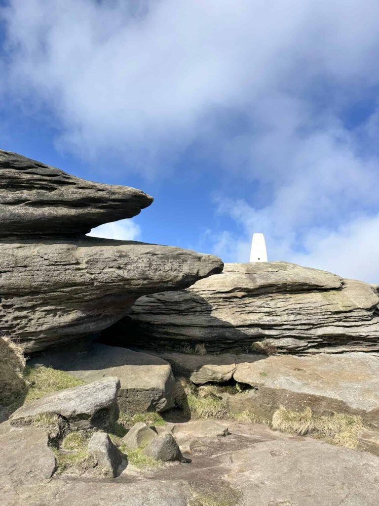
- Visiting the Back Tor trig point
- Views across the Dark Peak and surrounding reservoirs
- A peaceful and challenging full day walk
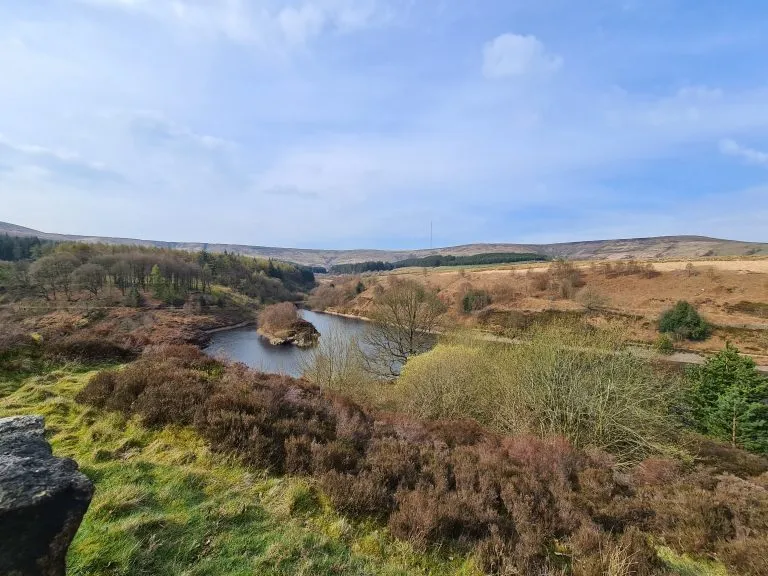
The route starts from Bradfield, a pretty village where there’s a great free car park at The Sands. We crossed Smithy Bridge in the middle of the village and walked up Mill Lee Road, passing the Old Waterworks (now being converted into homes) and The Plough Inn. We turned right along a track which led across the fields to join the road near Annet Bridge.
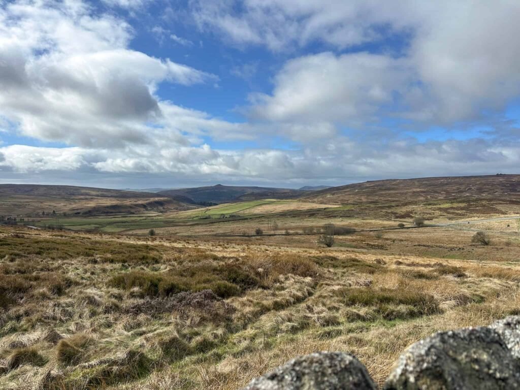
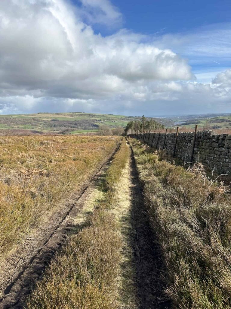
We followed the road for a mile, climbing up steadily, then picked up the footpath running across the fields to Hoar Stones Road. The route passed through Oaks Piece and then out onto another road, and we followed the track up and over Ughill Moor. This moorland feels very remote and wild, and we only saw a few sheep – no other people!
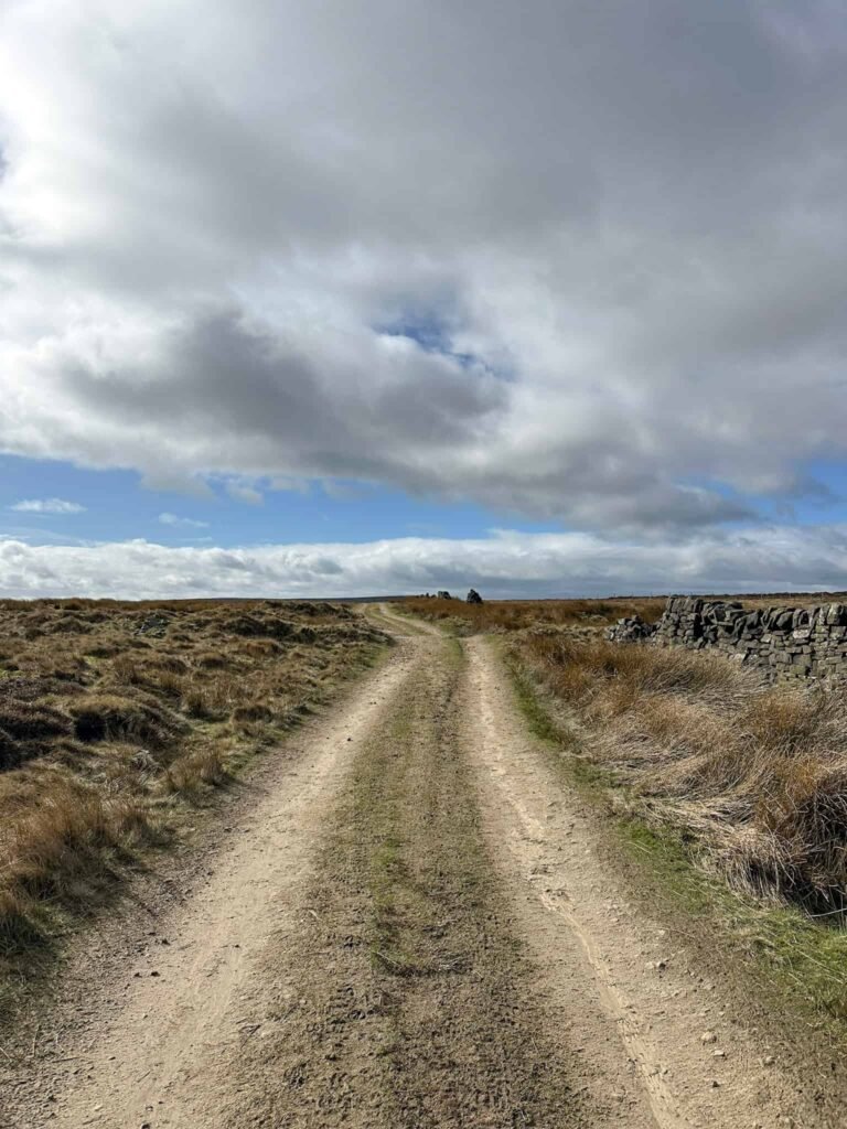
The track passes Moscar Cross Farm and the 18th Century guide stoop (the inspiration for Whitcross in Charlotte Bronte’s Jane Eyre). We followed the track, passing the ‘no cars allowed’ signs on the gates, down the public byway to join Sugworth Road. We turned left and then crossed Mortimer Road, heading over a stile onto the Open Access Moorland of Strines Edge.
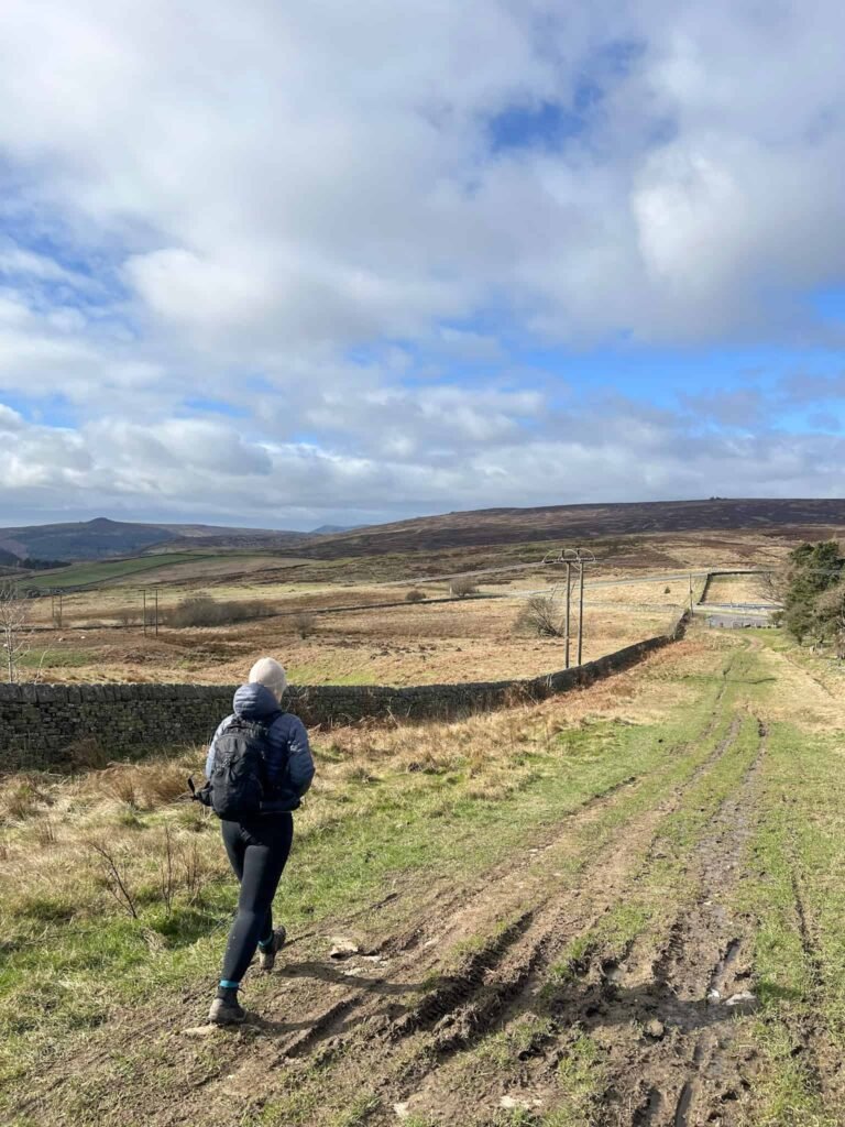
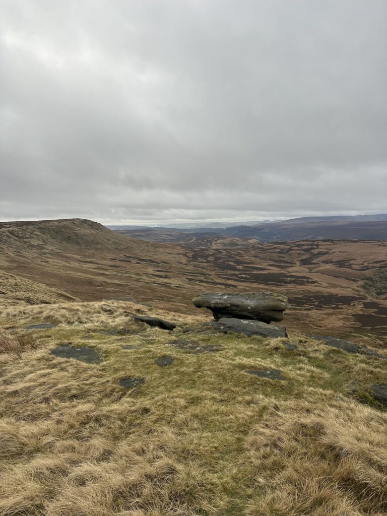
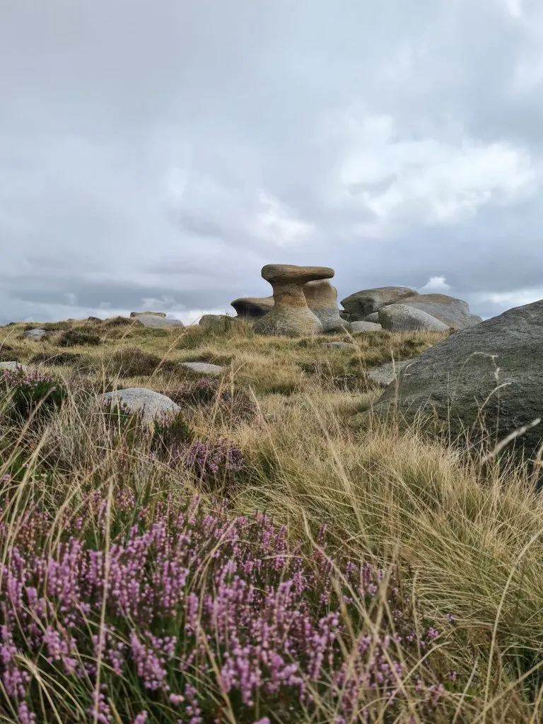
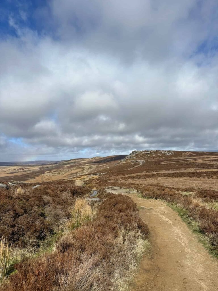
We followed the line of standing stones (marking the county boundary) up to Raddlepit Rushes, which is rather wet as the name suggests! The boundary line bends right but we forked left, heading past the wooden grouse butts near Rising Clough. The path peters out and we headed across the boggy tussocks to reach the rock formation with the Salt Cellar.
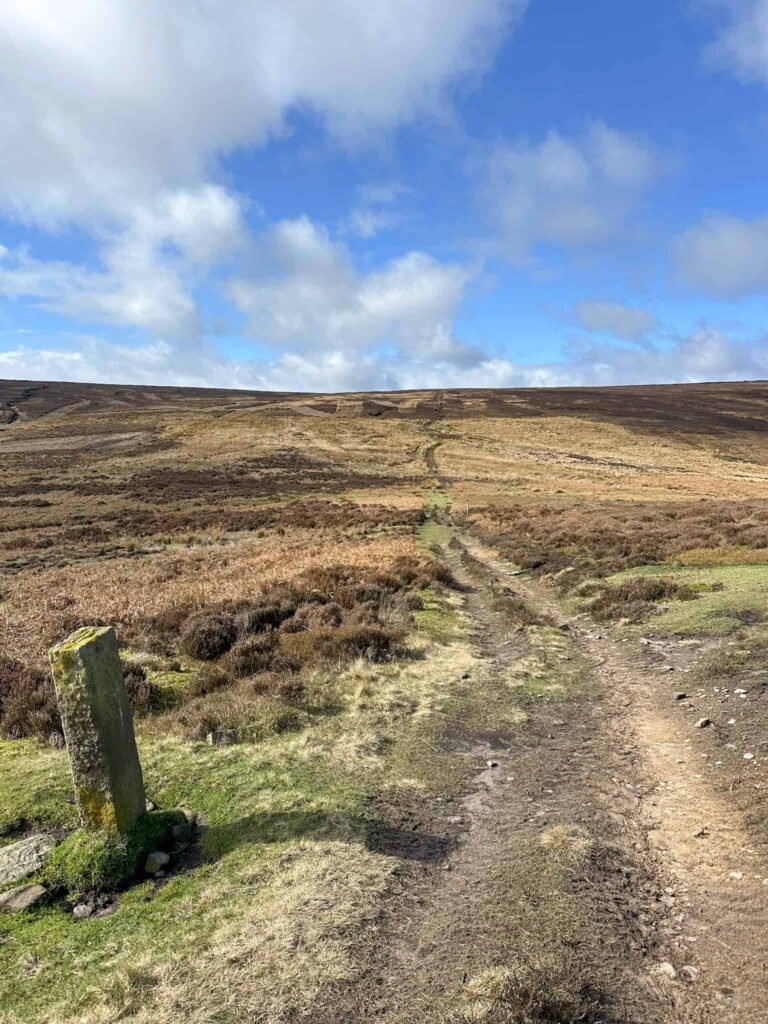
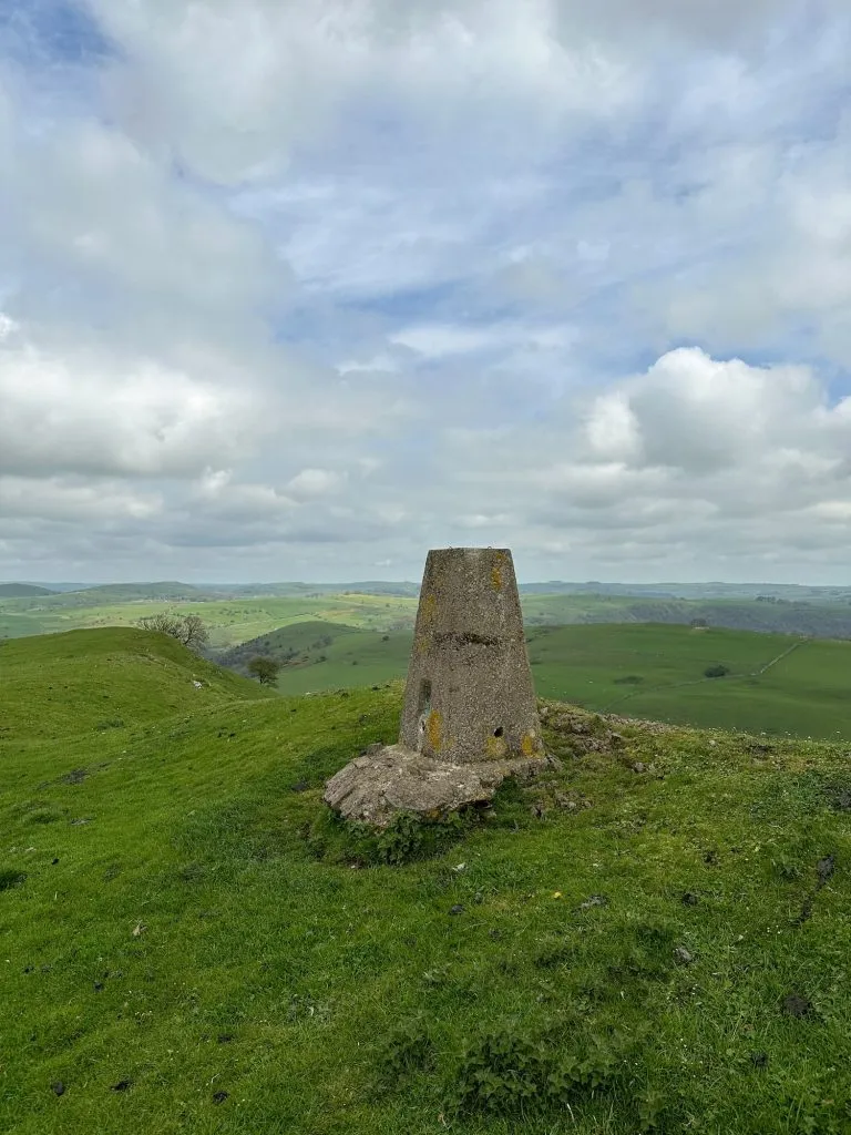
Here we picked up the really nice path along Derwent Edge, following it until we reached Back Tor trig point set high on the gritstone.
Trig point bagged, we followed a faint path along the front of Back Tor heading north-east along Cartledge Stones Ridge. This path runs for about a mile and a quarter before we turned off onto the moors, following a faint path which eventually runs out and becomes a boggy yomp over the moorland to reach the shooting cabins.

With the cabins on the right, there’s a faint path which runs up to the wall corner. This path continues along the fence and wall to join Mortimer Road, and we then crossed and turned right down Windy Bank.
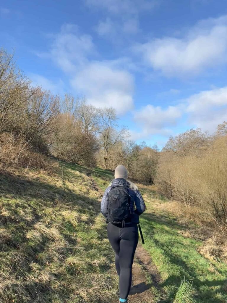
We passed the old outdoor centre with it’s bright red roof and followed the footpath into Windy Bank Wood. The path heads out onto the road and follows the edge of Agden Reservoir onto Smallfield Lane. The road was flooded when we did this walk, and we had to wade through ankle deep water, just so you’re aware!
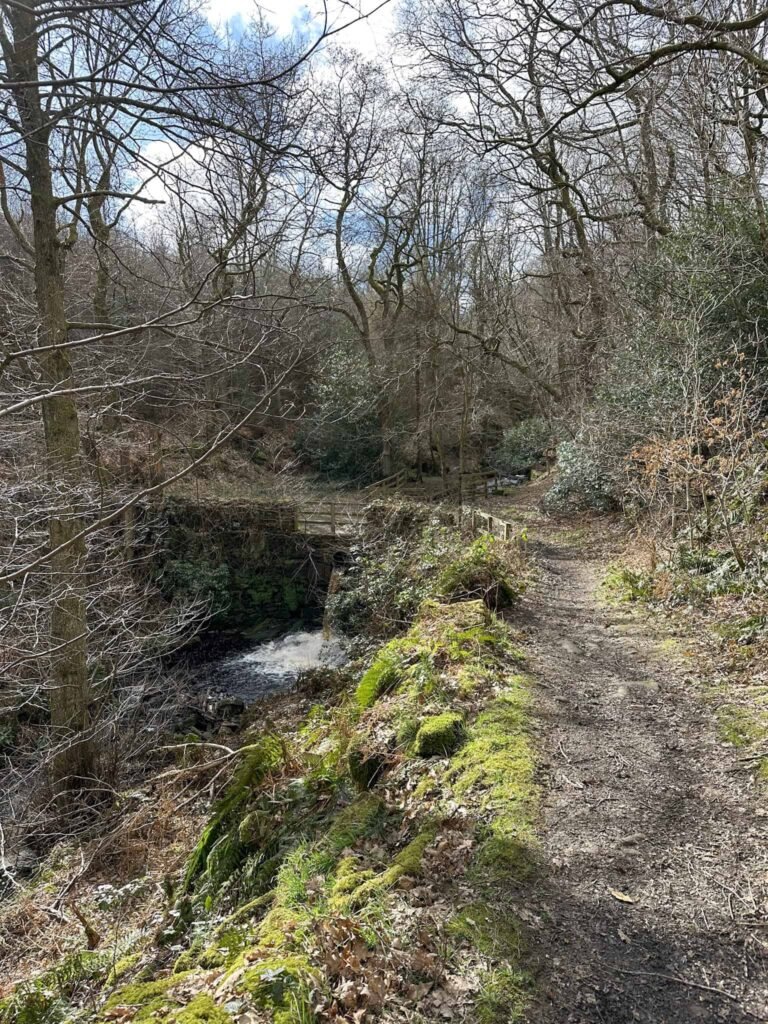
We walked past the dam and after the large 1930s house we picked up the footpath running down into a small area of woodland. Crossing the bridge and following the stream a short distance took us back to the car park and the car, which we discovered had wound its window down for no reason and had been open to the elements while we’d been out walking!
We went to The Plough Inn for a lovely post-walk lunch.
Tips for This Walk
- Some sections of this route cross open moorland with no clear paths, so good navigation skills are essential.
- Ground conditions can be very wet or boggy after rain, especially on the higher moorland.
- Carry a map, compass or GPX route and allow plenty of time for the walk.
- Weather can change quickly on the moors, so bring appropriate clothing.
- Dogs are not allowed on parts of the moorland to protect ground nesting birds including grouse and curlew. You can check out the Open Access Maps here and here.
FAQs
How long does the Bradfield to Back Tor walk take?
Most walkers complete this 14 mile route in around 5 to 6 hours, depending on pace and navigation conditions.
Is this walk suitable for beginners?
This route is best suited to experienced walkers due to the distance and sections of pathless moorland terrain.
What is the highest point on the walk?
The highest point of the route is Back Tor, marked by a trig point at 538m above sea level.
Is the route waymarked?
No. Parts of the route follow tracks, but large sections cross open moorland where navigation is required.
Bradfield to Back Tor and Ughill Moors Walk

Walk Map (Opens in OS Maps): Bradfield to Back Tor and Ughill Moors Walk
Parking: The Sands Car Park, Low Bradfield, Sheffield S6 6LA W3W:///insist.castle.free – free parking (as of March 2026).
Facilities: There are pubs in Bradfield as well as a post office. There are bins in the car park.
Walk Time: 4-5 hours
Difficulty: ▲▲▲
Distance: 14 miles (22.5km)
Trig Points Bagged: Back Tor
Peak District Peaks Bagged: Back Tor
Peak District Ethels Bagged: Back Tor
For more walks like this why not try: