Bakewell to Haddon Hall Circular | 6 Miles
Bakewell is a great place to start a walk, and this 6 mile walk takes you out towards Haddon Hall, visiting the Noton Barn trig point, and then back into Bakewell along the Monsal Trail.
Route Highlights: Scenic trails, Noton Barn trig point, Haddon Hall views and Monsal Trail.
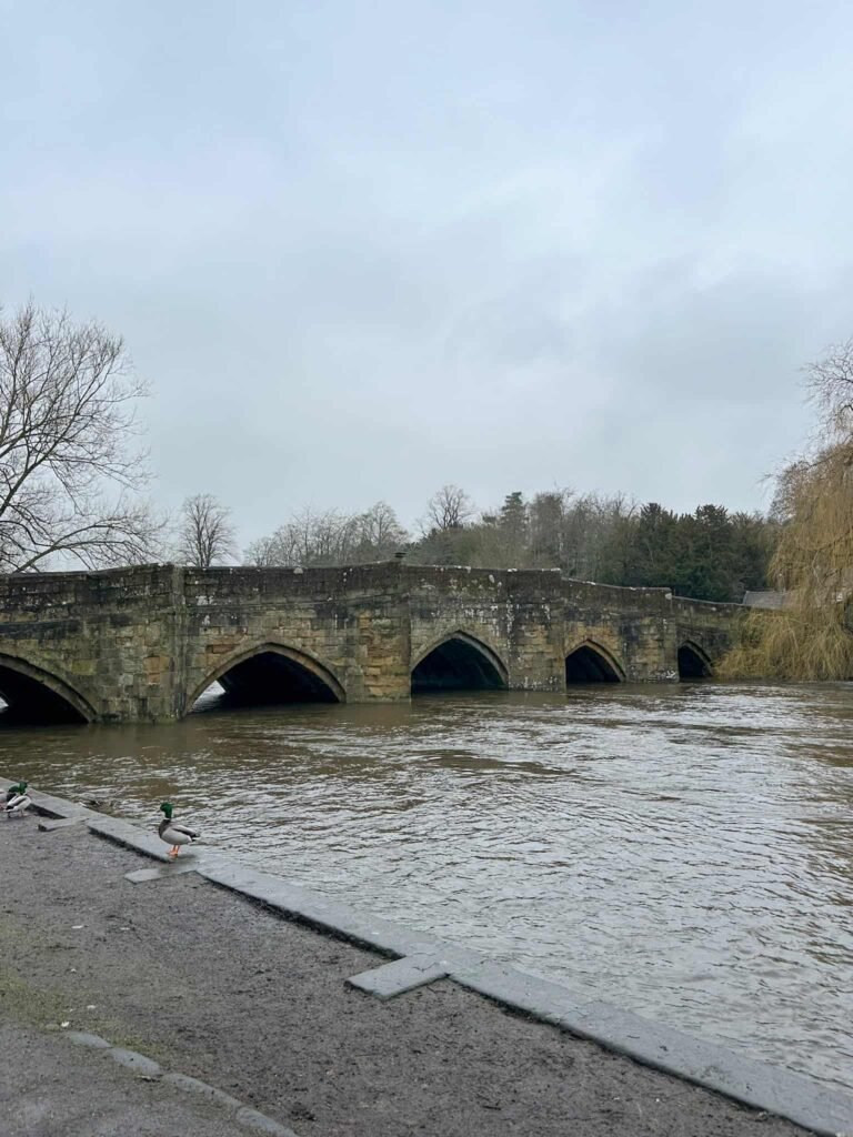
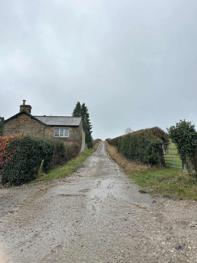
We parked in Bakewell near Bakewell Bridge and followed the River Wye a short distance before walking through the park. Near the children’s play area there’s a small snicket (or ginnel, whatever you call it) and we walked down between the houses, emerging onto Agricultural Way. We joined Haddon Road, and then crossed over to head up Intake Lane.
This track runs up to a gate, and then there’s a stile to head into the field. The route runs over the field and then out onto Youlgrave Road.
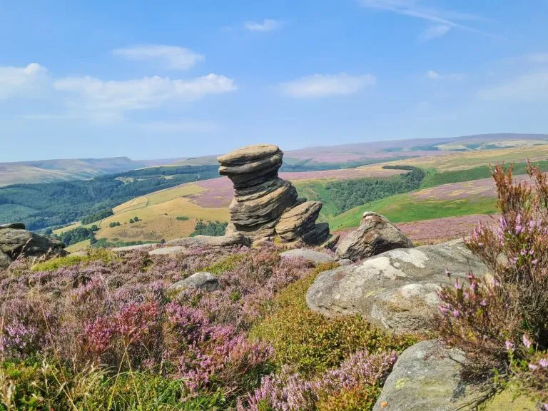
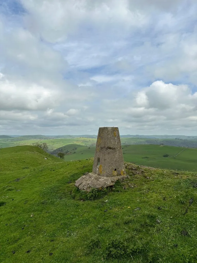
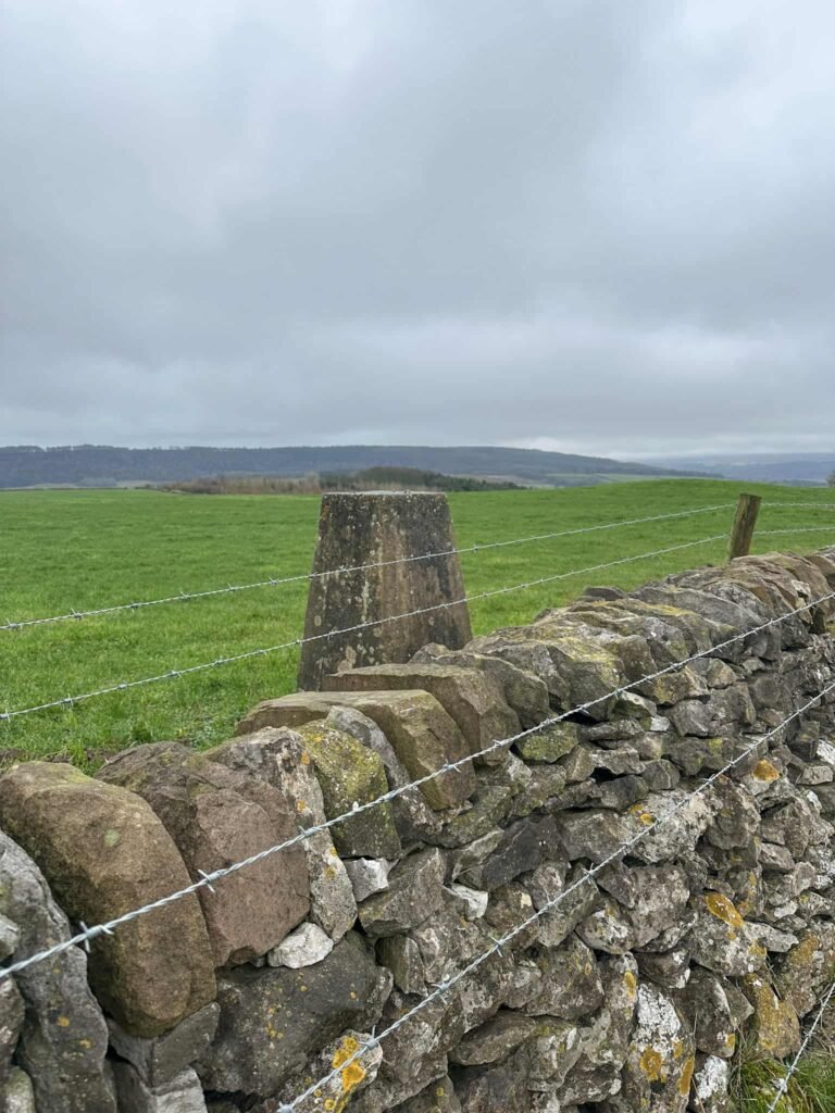
Turning left, we walked up the hill and then took the footpath to the left. There is a trig point here, Noton Barn, but it is on private land. It’s very close to the wall, but there is barbed wire on both sides of the wall so it’s quite hard to touch!
We followed the path along the edge of the field, climbing a couple of stiles, and then turned left to follow the field boundary to another stile. Over this, the path starts to descend back towards Haddon Road, and there’s a view of Haddon Hall from here.
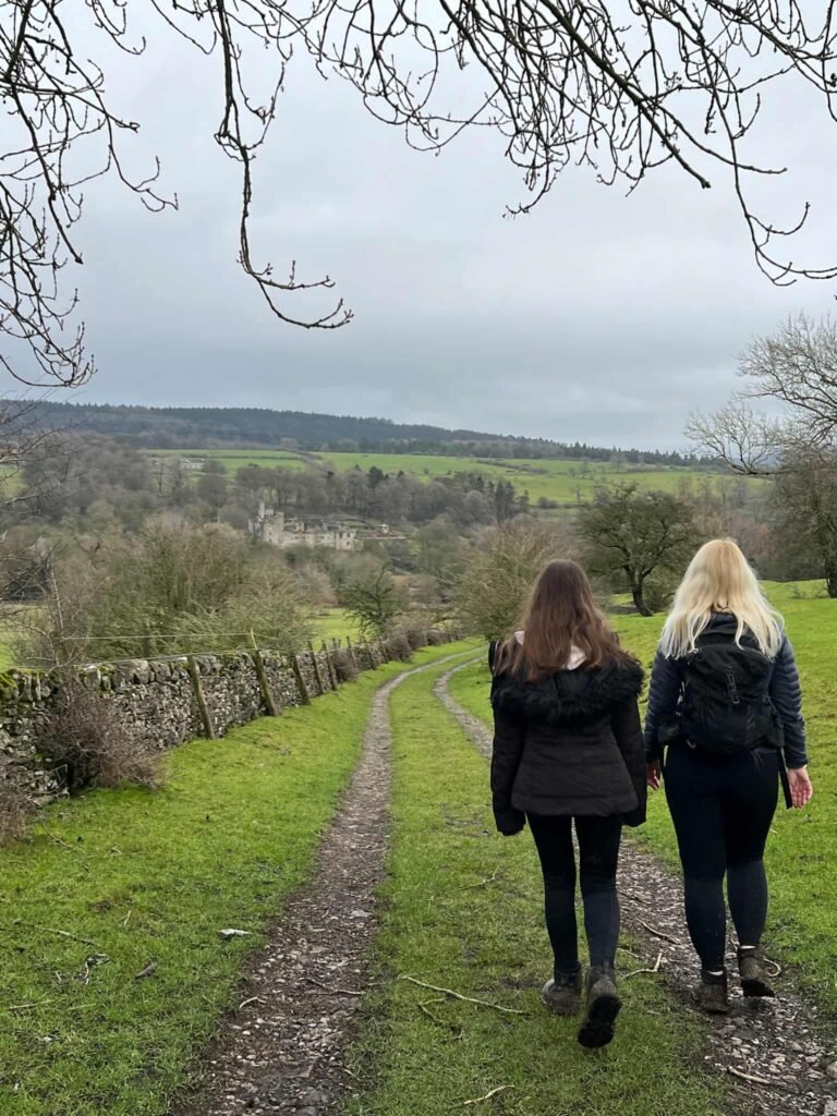
Haddon Hall is one of the most romantic and beautifully preserved medieval manor houses in England, tucked into the hills above the River Wye near Bakewell. With its stone courtyards, long gallery and Elizabethan gardens, it’s well worth a visit. The Hall is open from March until December each year – find out more on the Haddon Hall website.
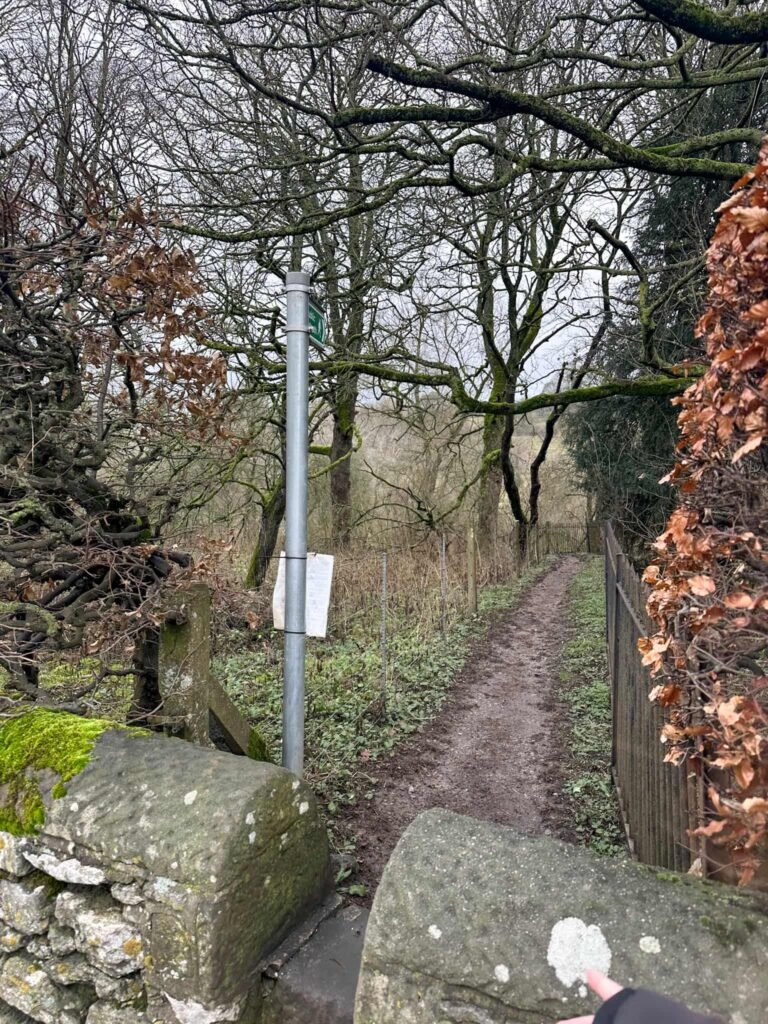
At the road, we crossed at the crossing and then turned left to pick up the footpath entrance.
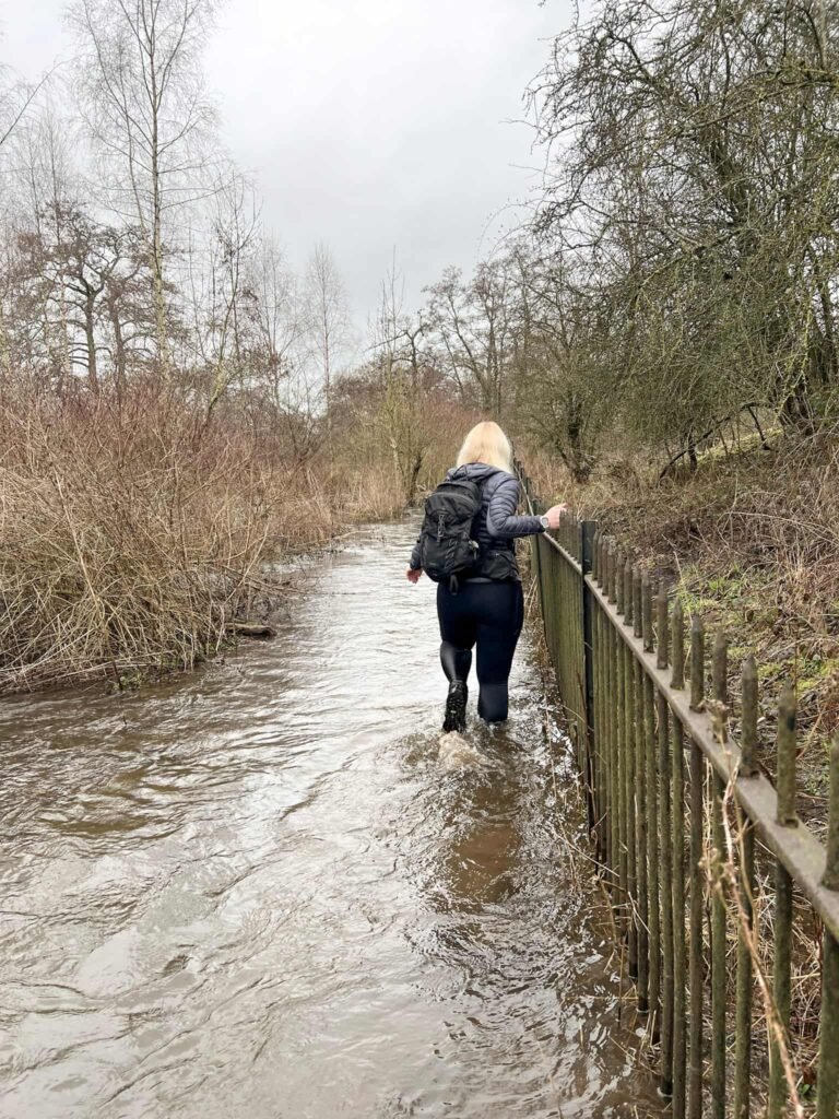
In wet weather this path floods. The River Wye bursts its banks, and the path can be under a foot or more of water. If the river (and the paths) looks flooded, you can follow the road to the junction and then turn right to get back onto this route.
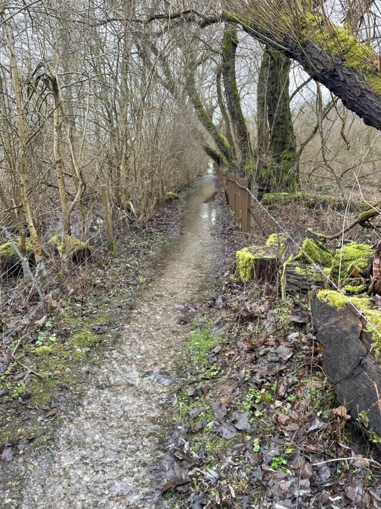
I’m stubborn, so we persevered along the flooded path to reach the lane! We had VERY wet feet.
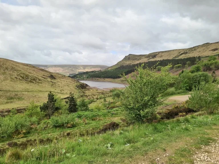
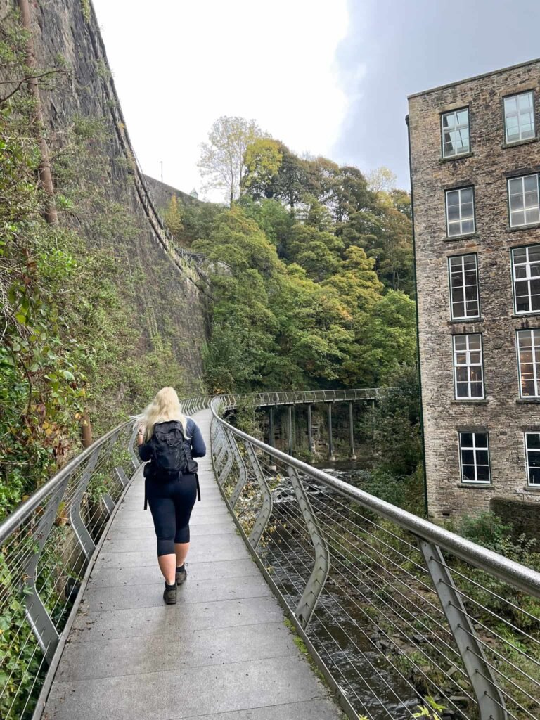
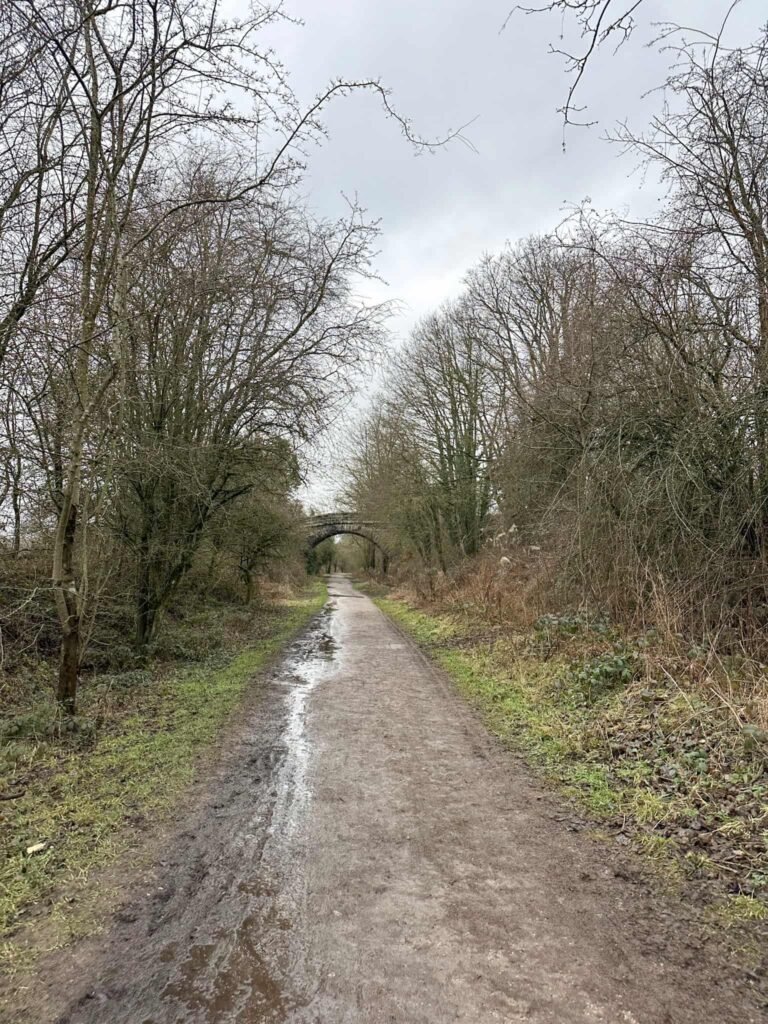
We then followed the public bridleway, forking right to leave the fields and join a lane which leads to Coombs Road. There’s a short sharp climb up onto the Monsal Trail, a disused railway which has been transformed into a traffic free trail for everyone to use. We followed this trail for three quarters of a mile before heading up some steps to the right and over a bridge to leave the trail.
The path runs past a field and around the back of some houses, before rejoining Coombs Road and then it’s just a short distance back to the car park.
Walk Map (Opens in OS Maps): Bakewell to Haddon Hall Walk
Parking: Bakewell Bridge Car Park, Coombs Rd, Bakewell DE45 1AQ W3W:///breath.buggy.beaten – pay and display, £5 for 4 hours (as of February 2026).
Facilities: Bakewell has lots of pubs, cafes and shops, so there’s plenty of facilities. We had a pasty from Pasties and Puddings and it was delicious.
Dogs: Allowed, on leads.
Walk Time: 2-3 hours
Difficulty: ▲▲
Distance: 6 miles (10km)
Trig Points Bagged: Noton Barn
Peak District Peaks Bagged: None
Peak District Ethels Bagged: None
You might also like: