Bradford Dale Circular Walk | 6 Miles
If you’re looking for a scenic White Peak walk with plenty of variety, this 6.5 mile Bradford Dale circular route from Alport is a lovely option. The walk winds through lush farmland and peaceful limestone dales, taking in the beautiful stretches of Middleton Dale and Bradford Dale along the way.
Passing through the charming village of Youlgreave, this circular route offers a mix of riverside paths, rolling countryside and classic Peak District views – perfect for a relaxed morning or afternoon out.
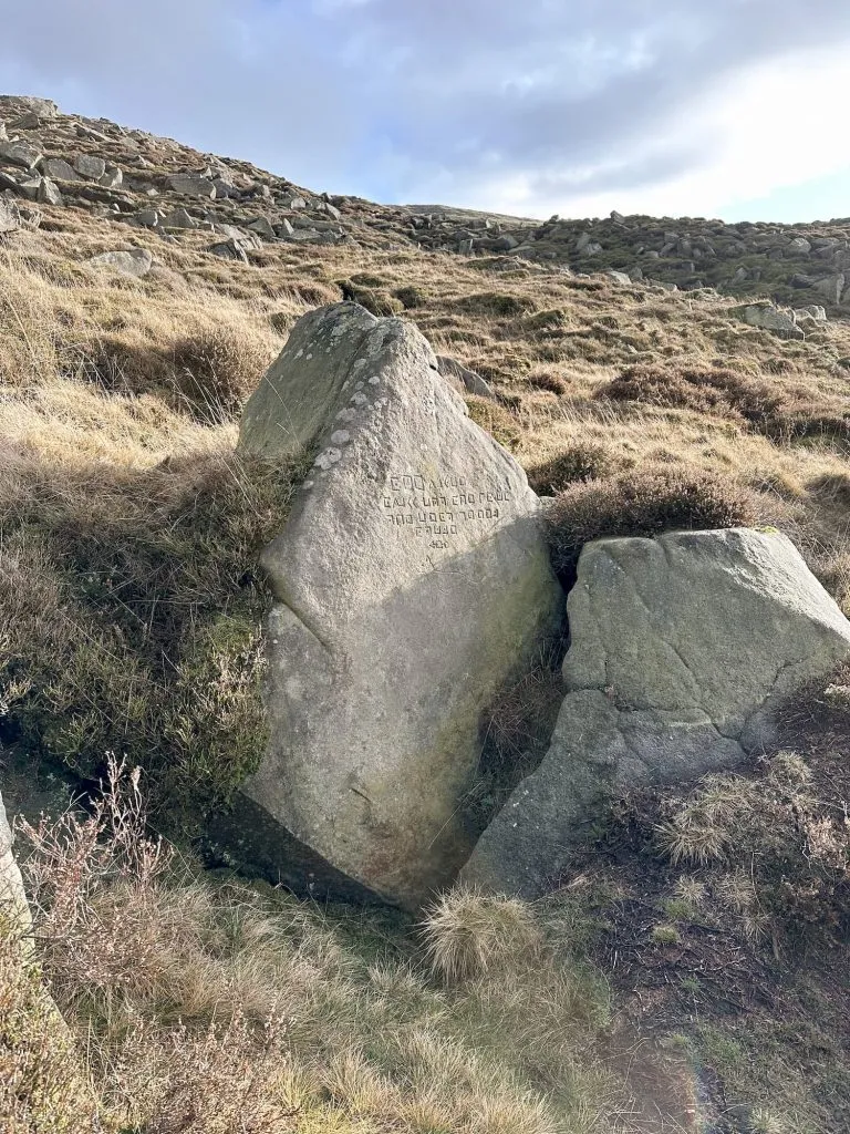
It also passes 4 of the Sites of Meaning, a project by Middleton and Smerrill which consists of 17 boundary stones inscribed with text.
Route Highlights
- Walking through the peaceful farmland around Alport
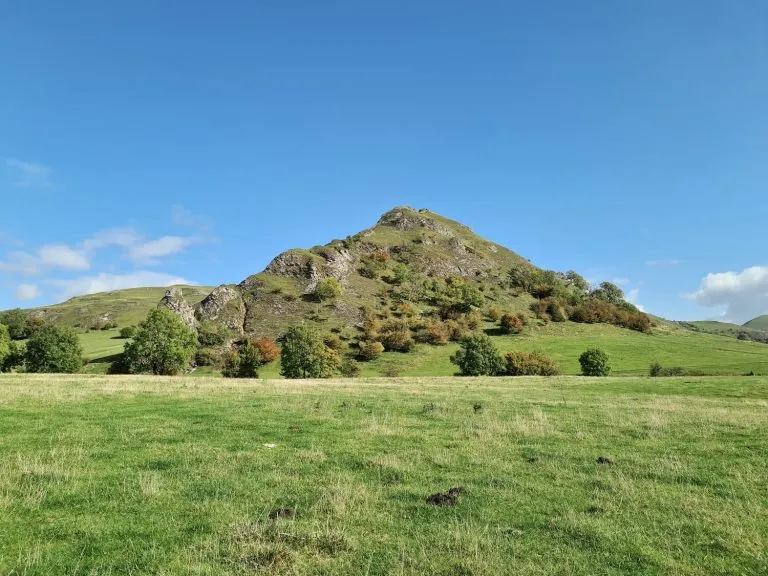
- Exploring the dramatic limestone scenery of Middleton Dale
- Following the beautiful valley of Bradford Dale
- Visiting the charming village of Youlgreave
- Riverside walking along Bradford Dale with clear water and wildlife
- A mix of open fields, dry stone walls and classic White Peak countryside
- A varied 6.5 mile circular route with plenty of scenery throughout
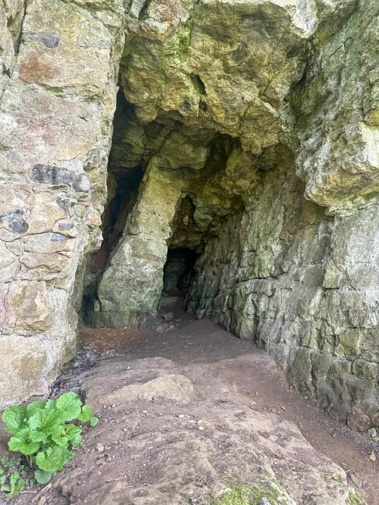
Our walk starts from a small layby in the village of Alport. Passing the red phone box and white gate, we walked along a track alongside the River Bradford, passing some small caves which I think may have been lead mines at some point in the past.
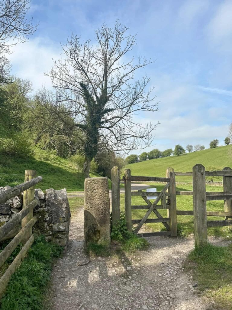
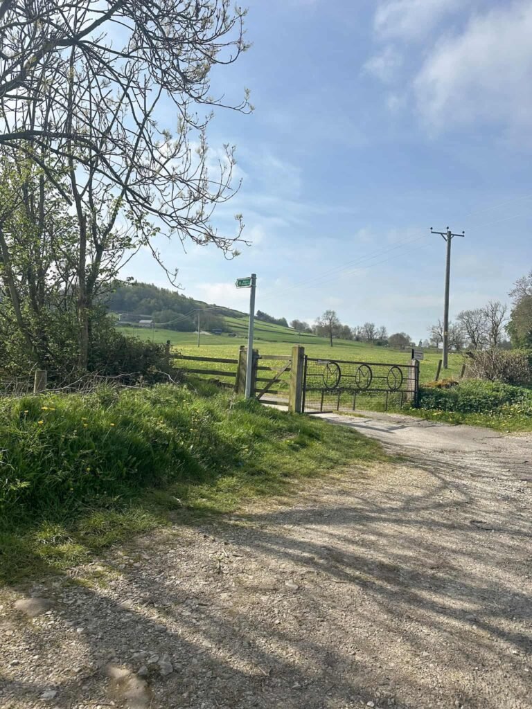
We reached the road and continued to follow it alongside the river until we came to a bridge. Turning left on the road, we followed this to its junction with Mawstone Lane, then headed south up the hill (through the gate next to the large gate with MMY on) to Mawstone Farm.
The path splits at the cattle grid – we took the right hand fork, climbing up the hill. Passing the farm on our right, we met a track through woodland and turned left. The track runs over the fields, and crosses a field near to the Hopping Top trig point. This is on private land, and from what I’ve read online the farmer isn’t keen on people trespassing to go visit it.
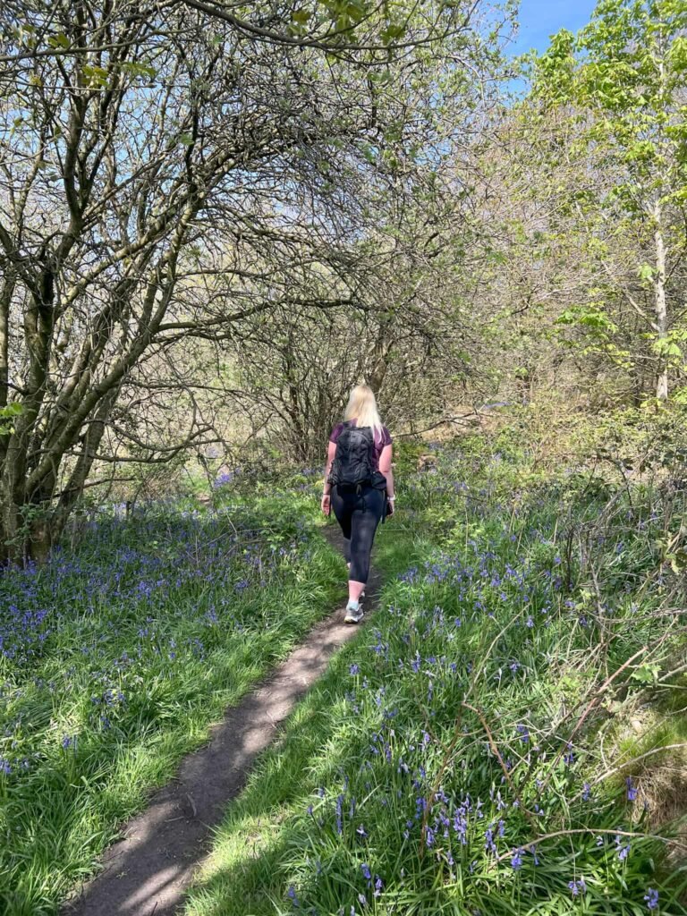
The path runs through a narrow wooded area, then opens out into the fields again. We followed the path past a small rocky outcrop to a path junction, and then forked sharply right to head east, passing through a beautiful bluebell woodland.
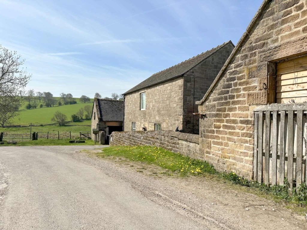
We walked down the drive of Rock Farm to the road, then went down the hill to Gratton Grange Farm. The path runs through the farmyard (which always feels so intrusive) and out into the countryside again, and then skirts round another farm yard onto a concrete track.
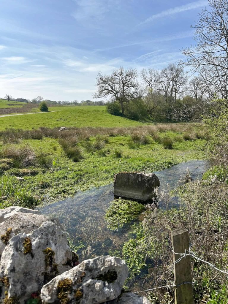
This track runs down to the first Site of Meaning, a large stone in Rowlow Brook with the inscription “The peace of running water to you”. It’s quite hard to make out the wording on the rock.
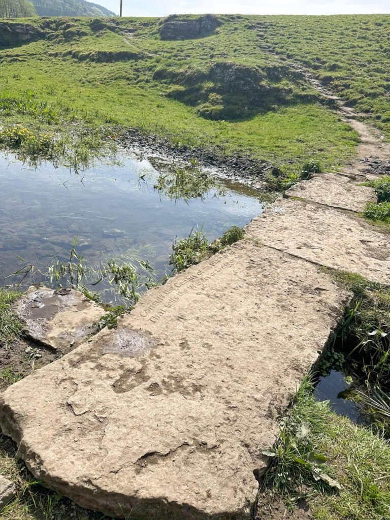
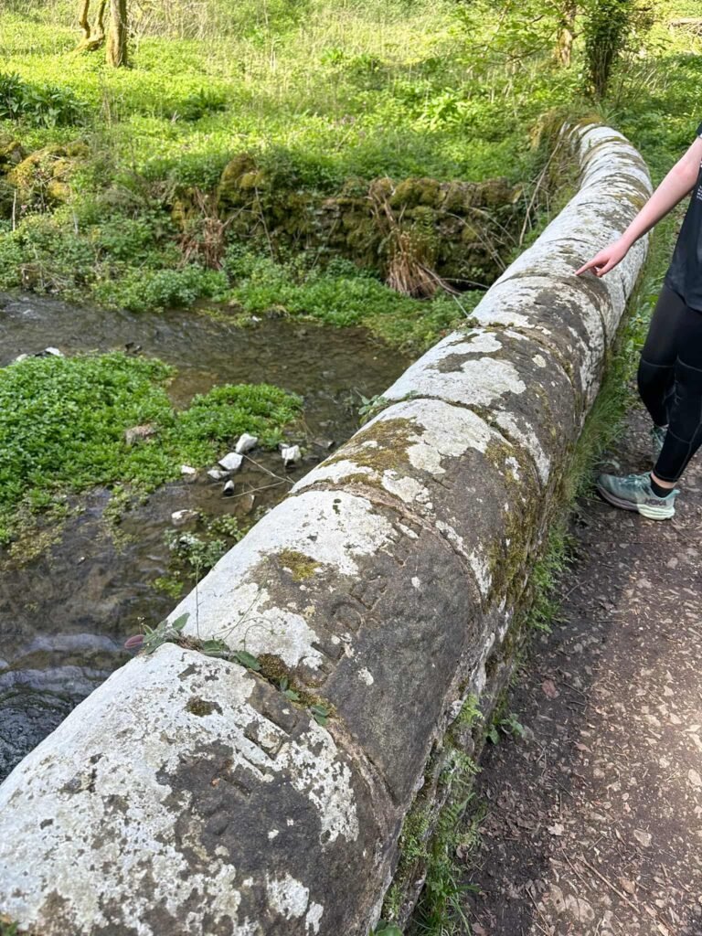
Passing the rock, we crossed more fields to head down to the river again. There is another Site of Meaning on the clapper bridge here with the inscription “Consult the Genius of the Place in all; That tells the Waters or to rise or fall – Alexander Pope”.
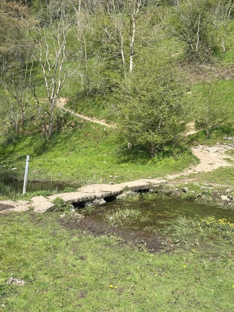
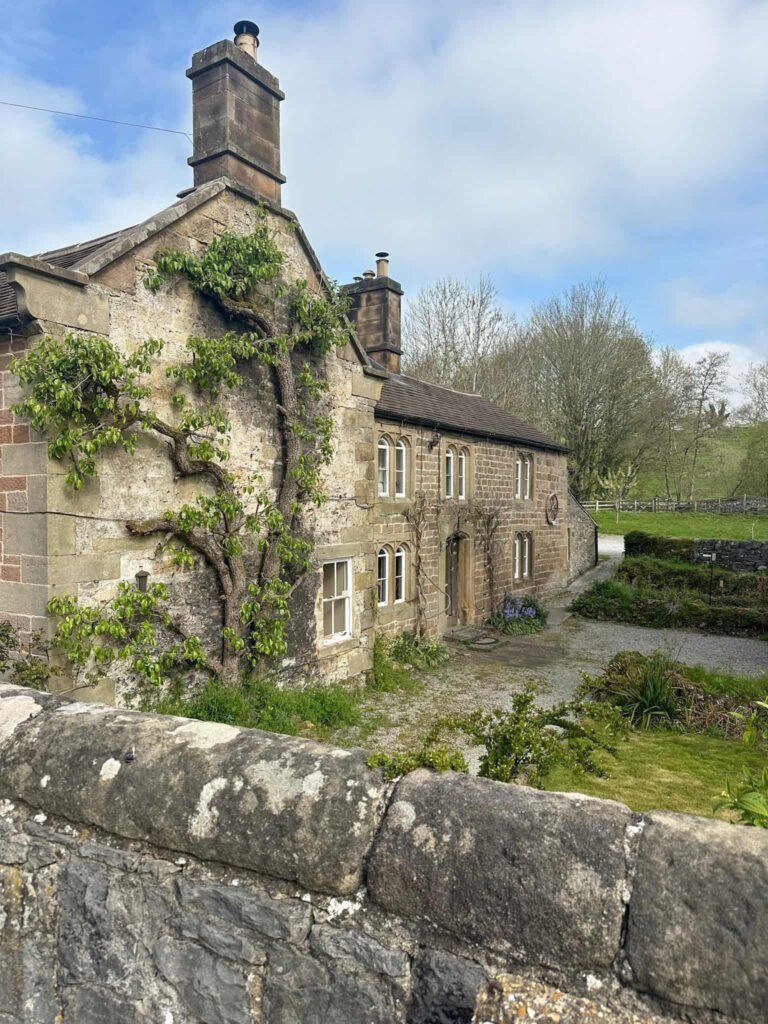
After we’d looked at the bridge we returned to the left hand side of the river and climbed the small hill, passing a house, and then turned sharply right to walk down through Middleton Dale.
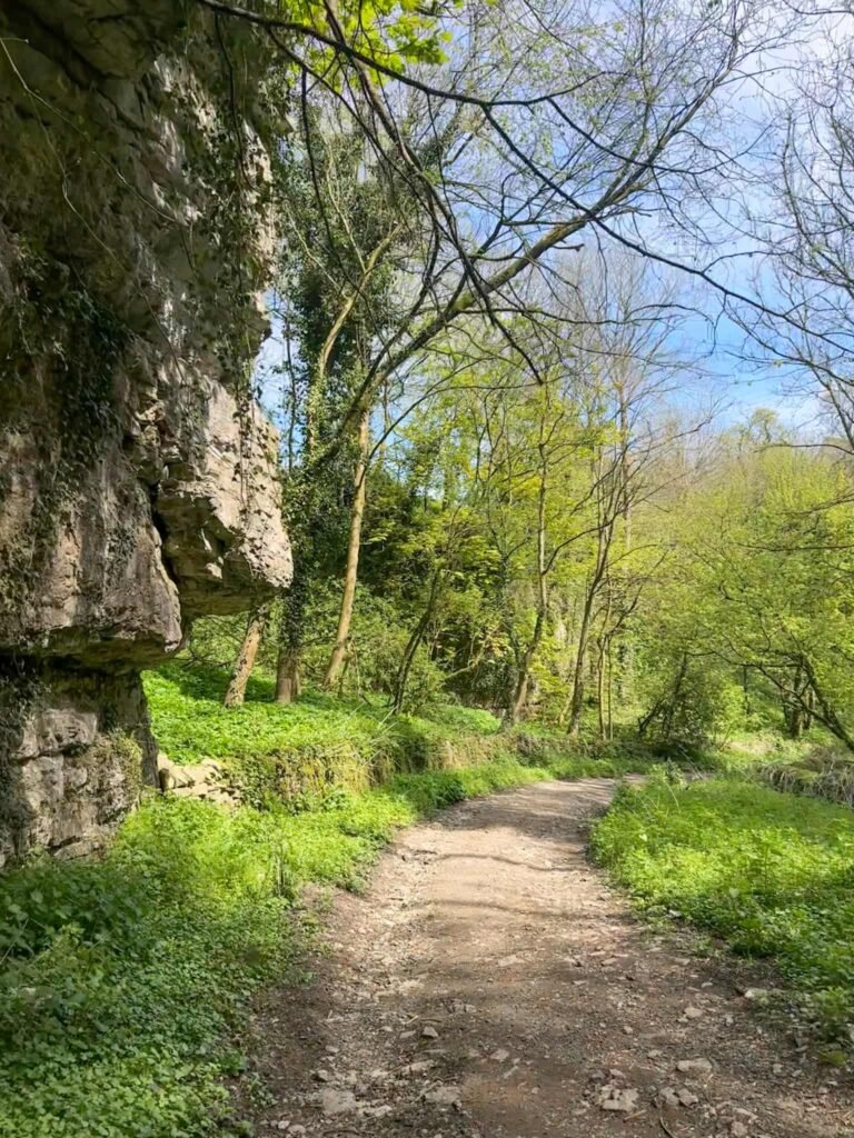
Middleton Dale is a peaceful place now but was once a busy place of work, with a factory, corn mill, wheelwright’s shop and sheep wash. The sheep wash is one of the largest and best preserved in the Peak District.
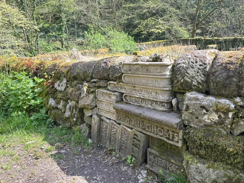
There is one more Site of Meaning here, a carved stack of books set in the wall by the sheep wash. The wording reads “In late May or June – The farmers brought their sheep – To wash their fleeces – In this deep pool – Burbling, bumbling, bleating – The waters bleat like a flock of sheep it dipped – Dip your ghosts into this hard, cold merky place – Hear their bleat in the water’s rush to escape – The foam like wool pulsates – Damp leaves nothing behind but the trees’ readiness”.
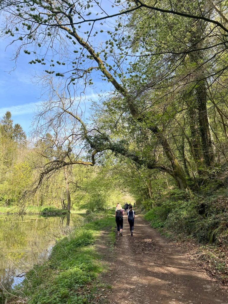
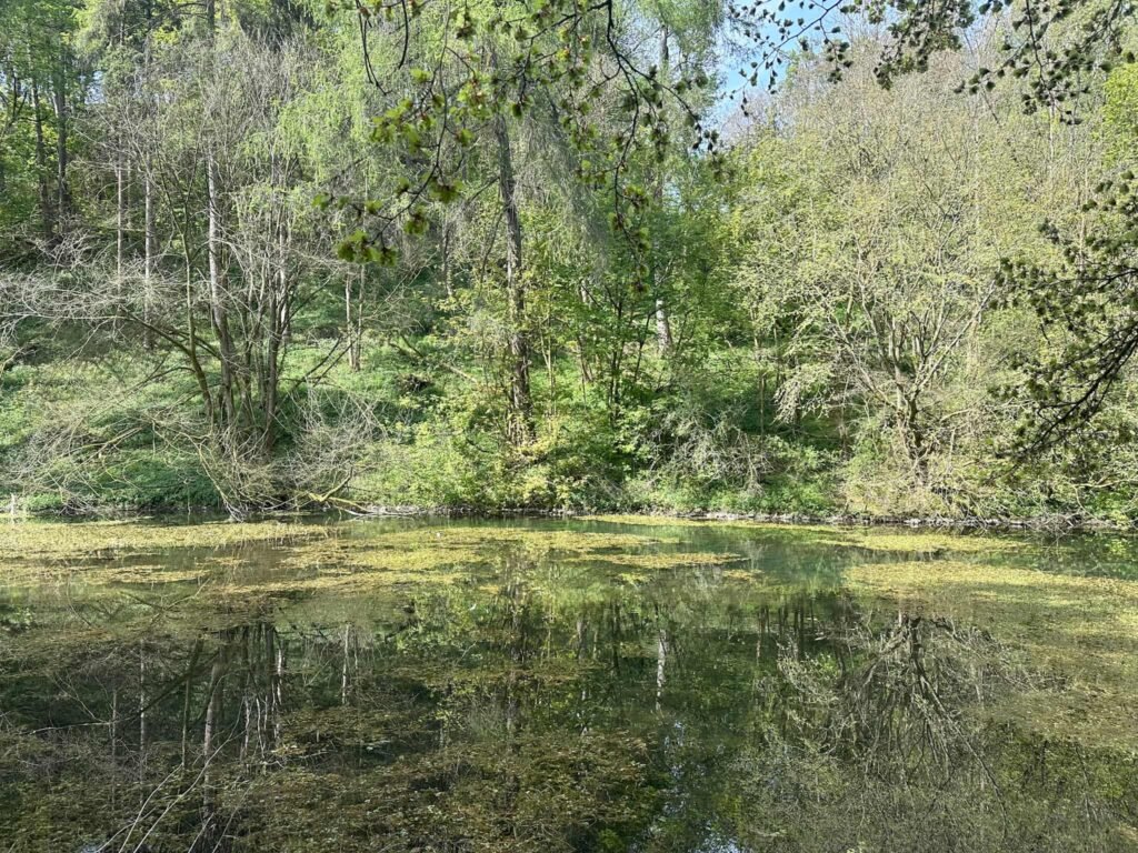
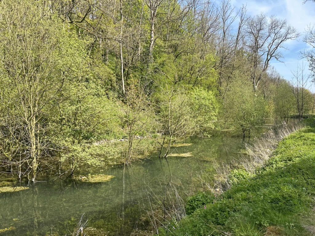
We followed Middleton Dale as it becomes Bradford Dale, following the crystal clear waters downstream. This nature reserve is home to a wide range of wildlife, including herons, ducks and brown trout.
Further downstream there’s a stone bridge over the river, and there’s another Site of Meaning here. The wording is quite hard to make out, but it reads “Still glides the stream, and shall forever glide; The form remains, the function never dies – William Wordsworth”.
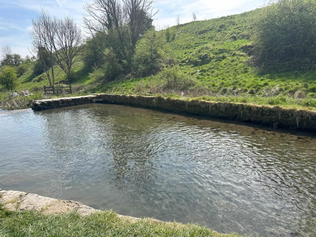
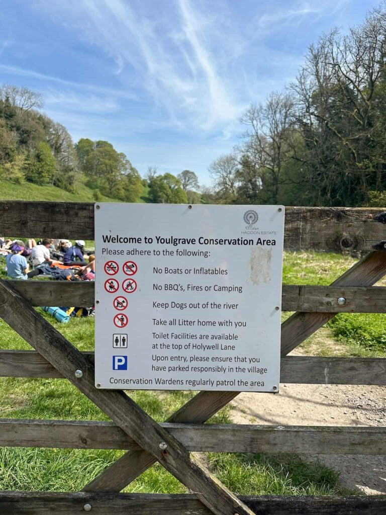
The path runs on, eventually coming to a small stone bridge over the river. Here we crossed into the Youlgrave (or Youlgreave, depending on where you look!) Conservation Area, where there is a swimming area for ‘wild swimming’. This gets VERY busy, and if disrespected, it is drained so nobody can use it. If you visit, please respect this beautiful place. Don’t allow your dog into the water, and take all your rubbish home with you.
We continued past the swimming area to reach the road, crossed the road and then retraced our steps along the river back to the car.
Walk Map (Opens in OS Maps): Bradford Dale Circular Walk
Parking: A small layby, Alport Lane, Alport – near the red phone box | What3Words: rents.hush.baths – free, space for 7-8 cars
Facilities: There are no facilities. Take all your rubbish home with you, and leave no trace.
Dogs: This route passes farmland which has sheep and cows, and there are some stiles. Dogs should be on a lead and kept out of the water in Middleton Dale, Bradford Dale and Youlgreave Conservation Area – there are signs up. Please respect this nature reserve.
Walk Time: 4-5 hours
Difficulty: ▲▲
Distance: 6.5 miles (10.75km)
Trig Points Bagged: None – Hopping Top is nearby but over some walls with barbed wire.
Peak District Peaks Bagged: None
Peak District Ethels Bagged: None
You might also like: