Lawrence Edge Scramble to Bleaklow | 6.5 Miles
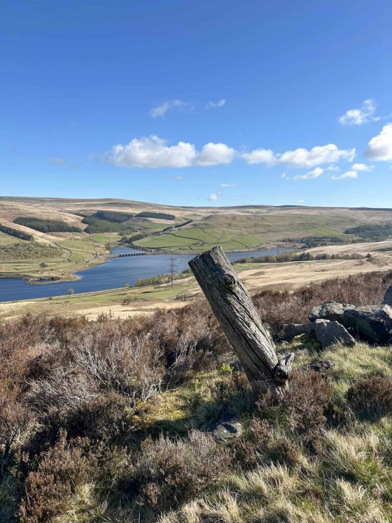
At 6.7 miles this walk isn’t long but it packs in a lot – a Grade 1 scramble up Lawrence Edge, the plane crash site of the Wellington R1011 and some of the best views in the Peak District over Woodhead Reservoir and beyond to Black Hill.
Walk Overview
Distance – 6.5 miles
Difficulty – Challenging with a hands-on scramble over rocky ground of Lawrence Edge
Route type – Circular
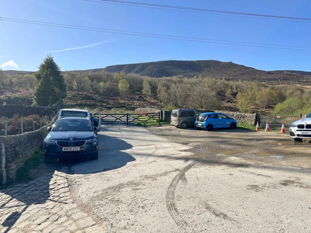
Start point – Car park for the Longdendale Trail, Woodhead
Terrain – Rocky paths, steep climbs, moorland plateau, off path walking
Facilities – None
Highlights of the Walk
- Grade 1 scramble onto Bleaklow up Lawrence Edge
- Visiting the plane crash site of the Wellington R1011 which crashed in 1943.
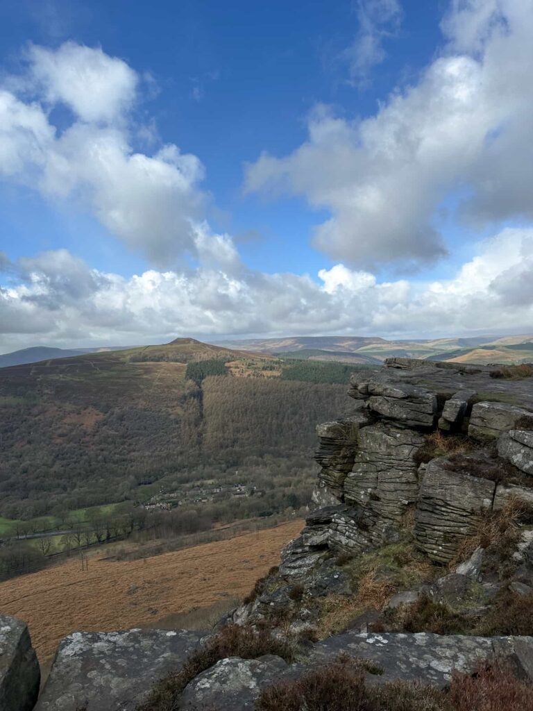
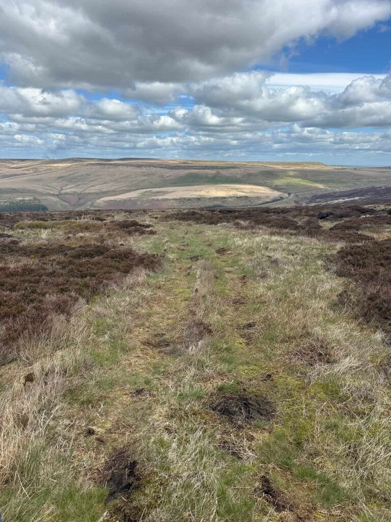
- Stunning views from Bleaklow and its northern edge
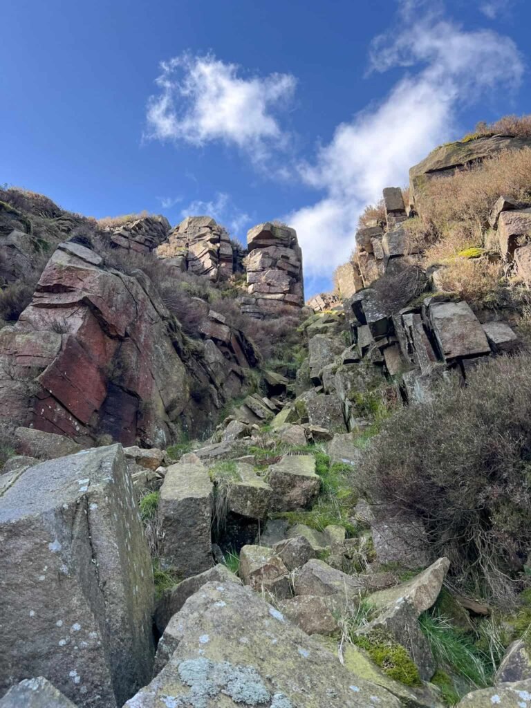
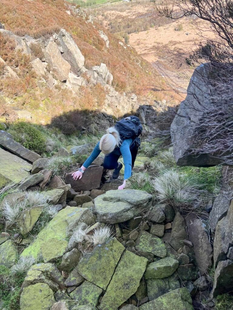
As always, you scramble at your own risk. The scramble up Lawrence Edge is classed as Grade 1, meaning that it’s a hands on scramble over rocks that most relatively fit hillwalkers should be able to manage, but there are some loose rocks in places and the rocks are green and mossy in part. Do your research and make sure you’re properly equipped.
This blog may contain affiliate links through which, at no additional cost to you, I may earn a small commission. I only recommend products I would use myself and all opinions expressed here are my own. Read full privacy policy here.
The idea for a climb up Lawrence Edge is from the most excellent book ‘Scrambles in the Dark Peak’ by Terry Sleaford and Tom Corker. It’s a brilliant guide to Peak District scrambles.
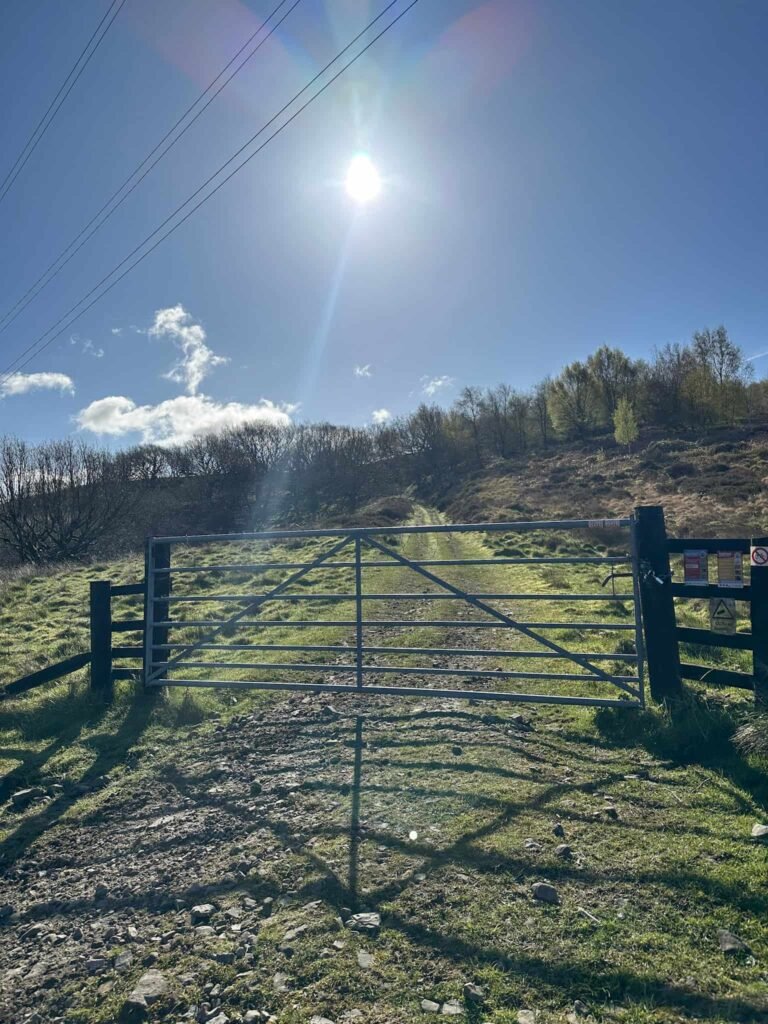
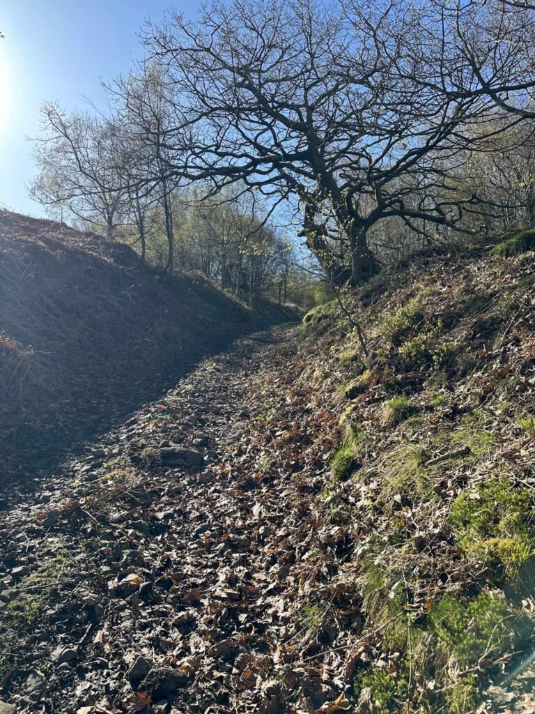
The walk starts from the small car park near the red brick cottages adjacent to the Longdendale Trail, just off the B6105. We went through the large wooden gate at the top of the car park and followed the tarmac track round to the left. At the large pylon, we climbed over the stile/fence (beware the barbed wire on the gate) and followed the old quarry track up the hill, ignoring any forks off to the right leading into the quarry spoil heaps. The track eventually peters out and becomes vague, running through grass and heather to the bottom of the slopes of Deer Knowl.
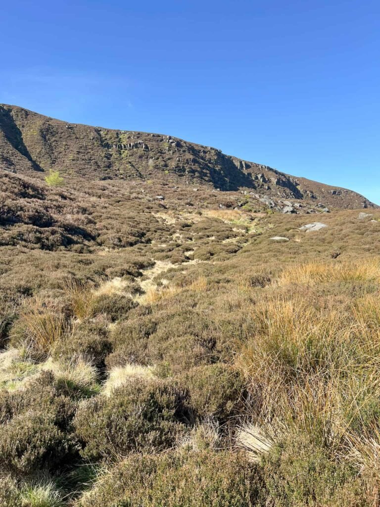
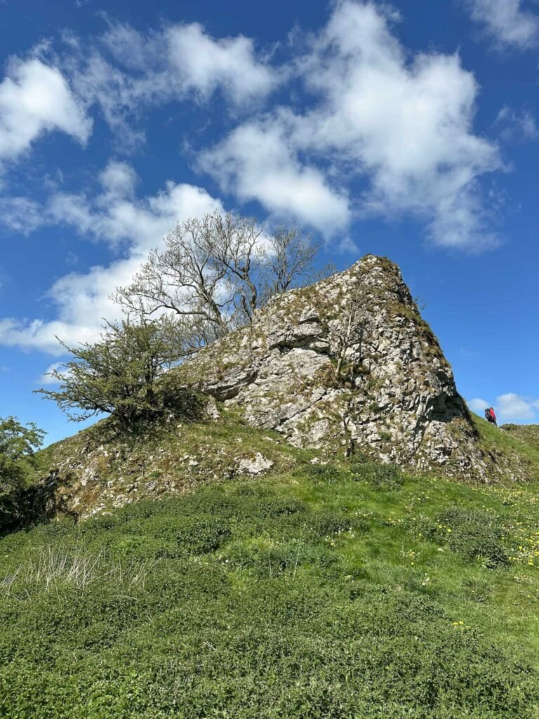
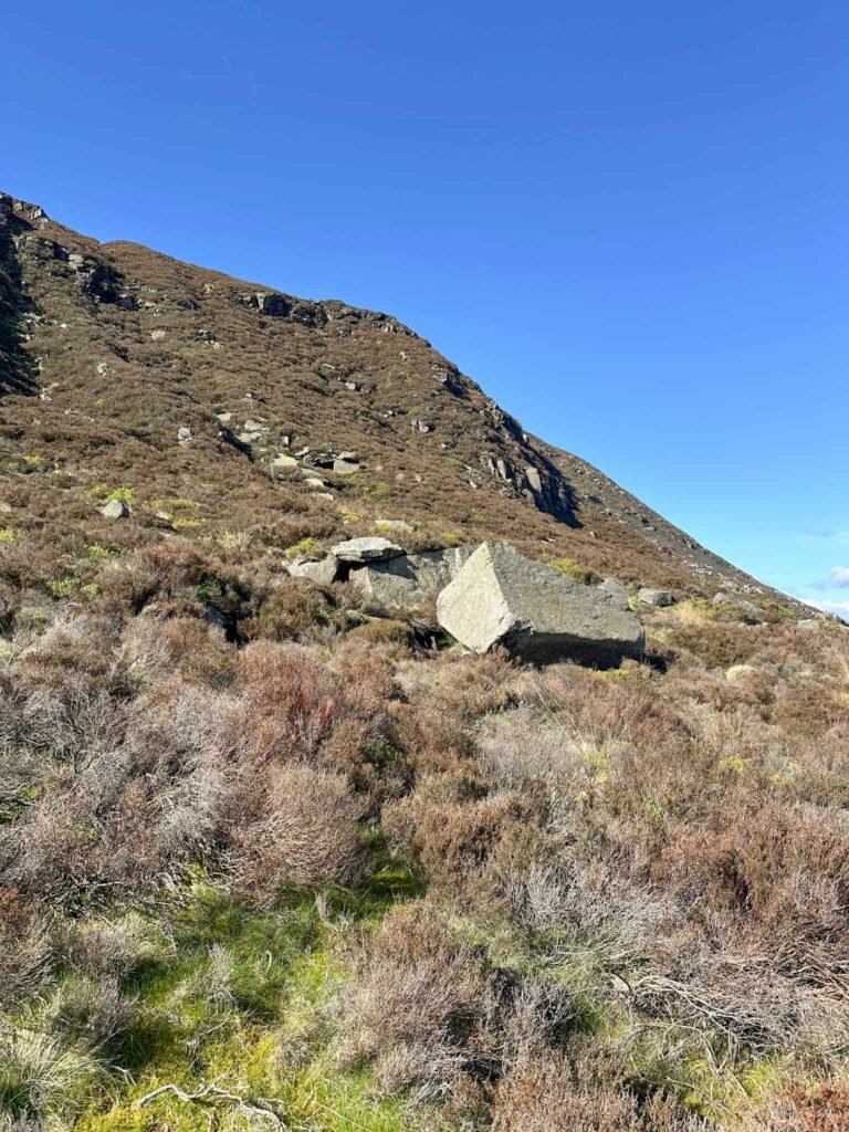
There is a large flat area below Deer Knowl, and we crossed this, following a very vague path/sheep trod through the heather to reach a large flattish boulder at the base of Lawrence Edge. The route starts out with some large blocks and boulders, but there are some loose rocks in and amongst, and some of the rocks are green and slippery.
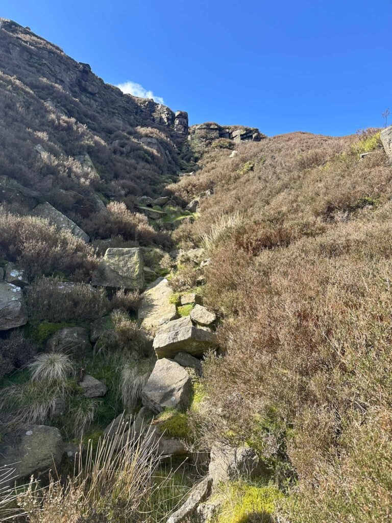
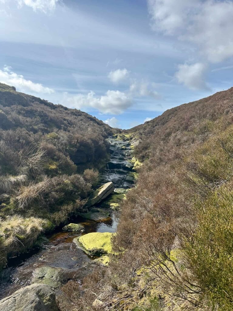
Reaching the top of the gully, we turned left to pick up a faint path running around the northern edge of Bleaklow. The path fades away in places, but eventually reaches the top of Shining Clough, another great scramble onto Bleaklow. Crossing the clough, we continued on until we reached the top of Stable Clough and the grouse butts. Watch out for the holes in the peat!
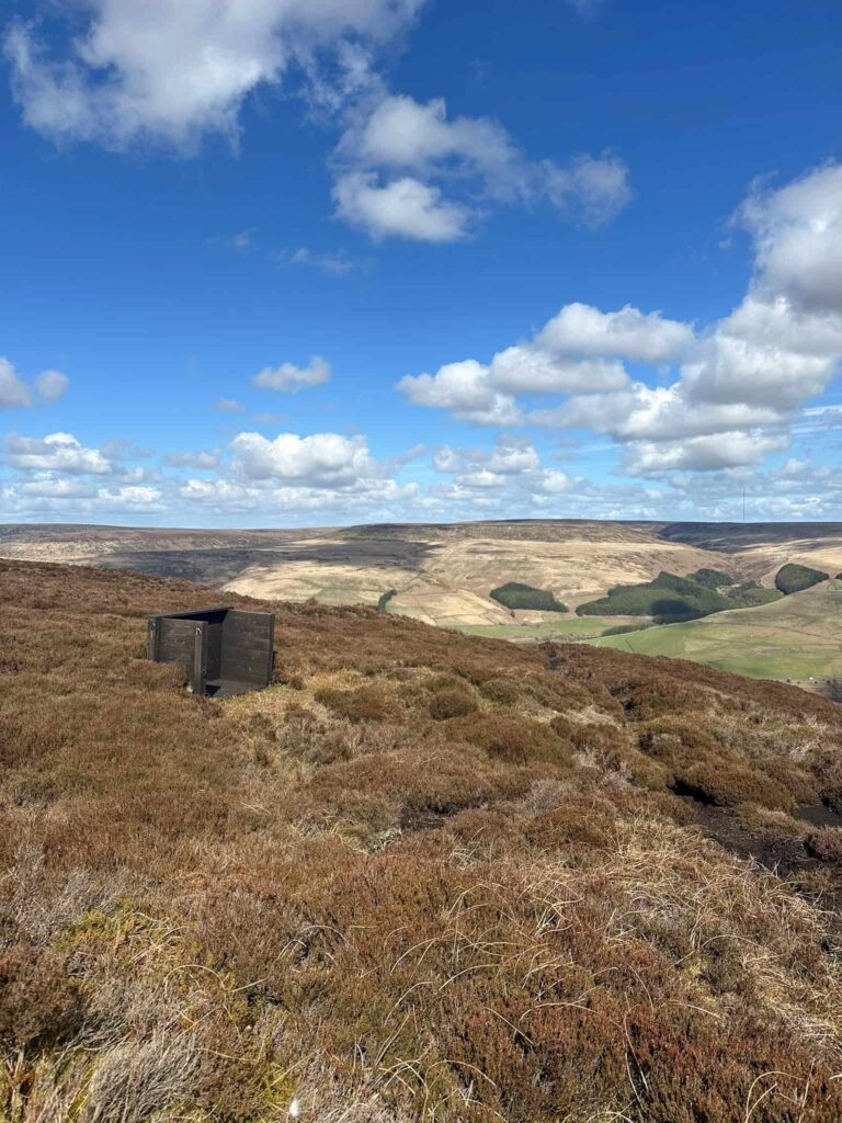
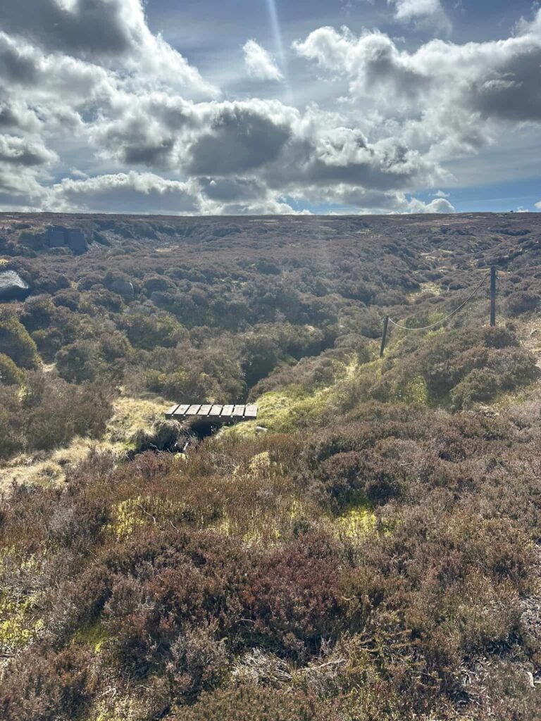
We then set off east over the open moorlands, sticking to the 500 contour as best we could whilst weaving in and out of the deep peat groughs in search of the Wellington R1011 crash site on Birchen Bank Moss.
Wellington R1011 crash site grid reference: SK 10544 98580
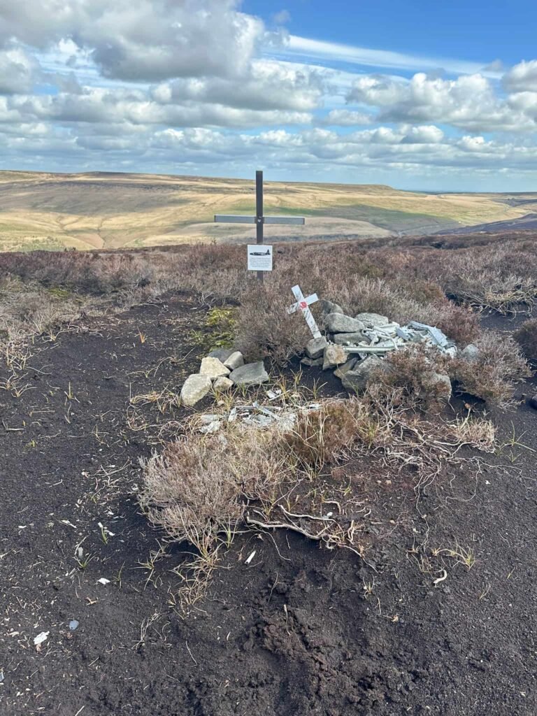
The Wellington was part of a group of similar planes on a training mission when it crashed into Birchen Bank Moss in poor visibility, killing 3 crewmen but with 2 survivors. Just 30 minutes after this crash another of the planes in the group crashed near Stoke.
At the plane wreck site we followed a faint path leading downhill slightly (to the 490m contour) and then continued south-east to a line of grouse butts, and we followed the keepers track. You could continue along the moor to pick up the track running down to Near Black Clough – both end up in the same place.
The path heads down to Black Clough (where Near, Far and Middle Black Clough all converge), and we wandered alongside the river, passing its junction with the River Etherow.
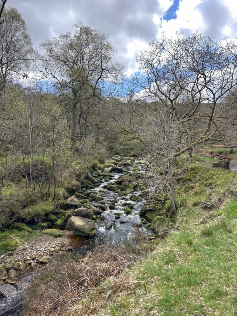
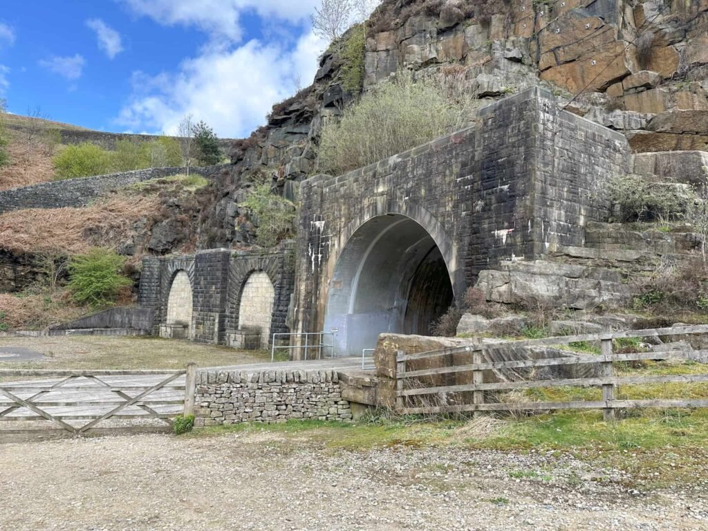
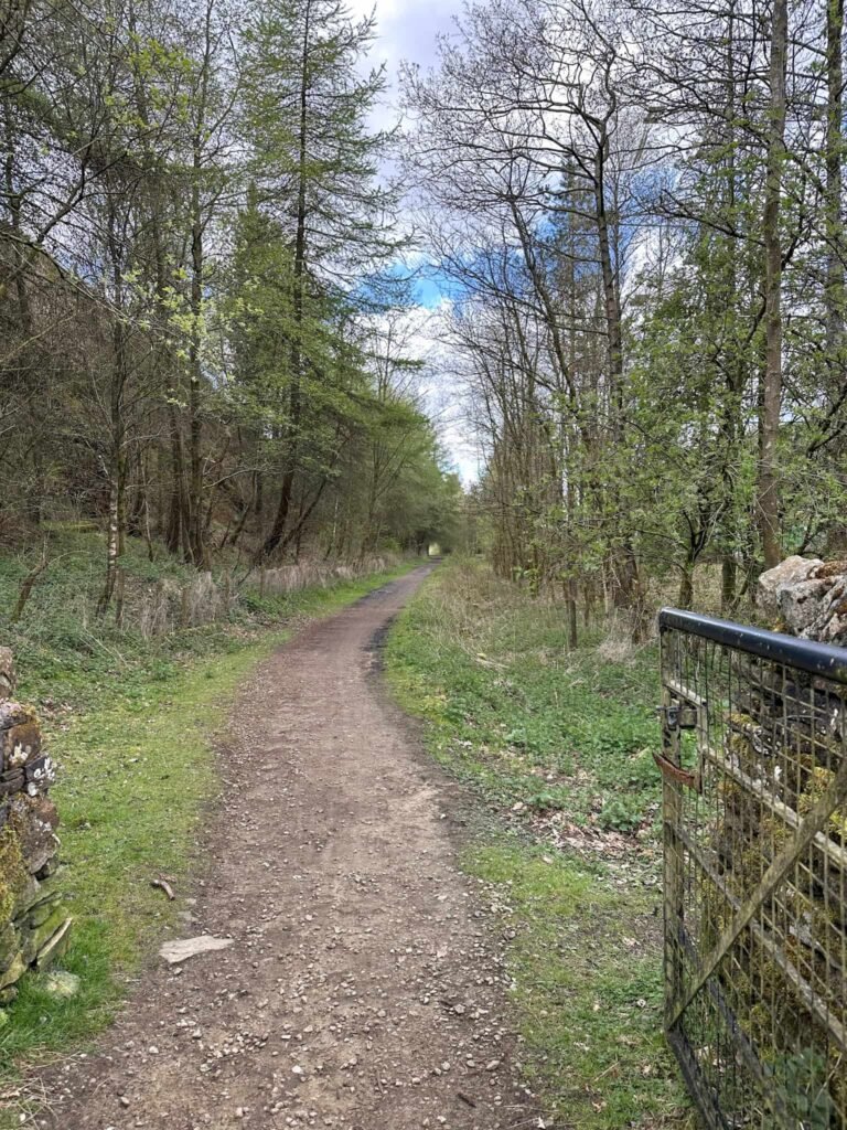
Walking downstream, we crossed the stile and then walked past the Woodhead Tunnels and the old Woodhead railway station, and along the Longdendale Trail for 2 miles to get back to the car.
As there are no pubs nearby, we drove up to the Fleece at Holme village for a pint and some of their delicious chips.
Walk Map (Opens in OS Maps): Lawrence Edge Scramble Walk
Parking: Woodhead car park, B6105, Crowden | What3Words: plant.series.learning – free, space for 7-8 cars
Facilities: There are no facilities. Take all your rubbish home with you, and leave no trace.
Walk Time: 4-5 hours
Difficulty: ▲▲▲
Distance: 6.68 miles (10.75km)
Trig Points Bagged: None
Peak District Peaks Bagged: None
Peak District Ethels Bagged: None
You might also like: