Castleton Circular Walk via Cave Dale and Pin Dale | 5 Miles
Looking for a walk steeped in geology and medieval history? This Castleton circular walk visits Cave Dale and Pin Dale, both rich in lead mining history, and is just under 5 miles.
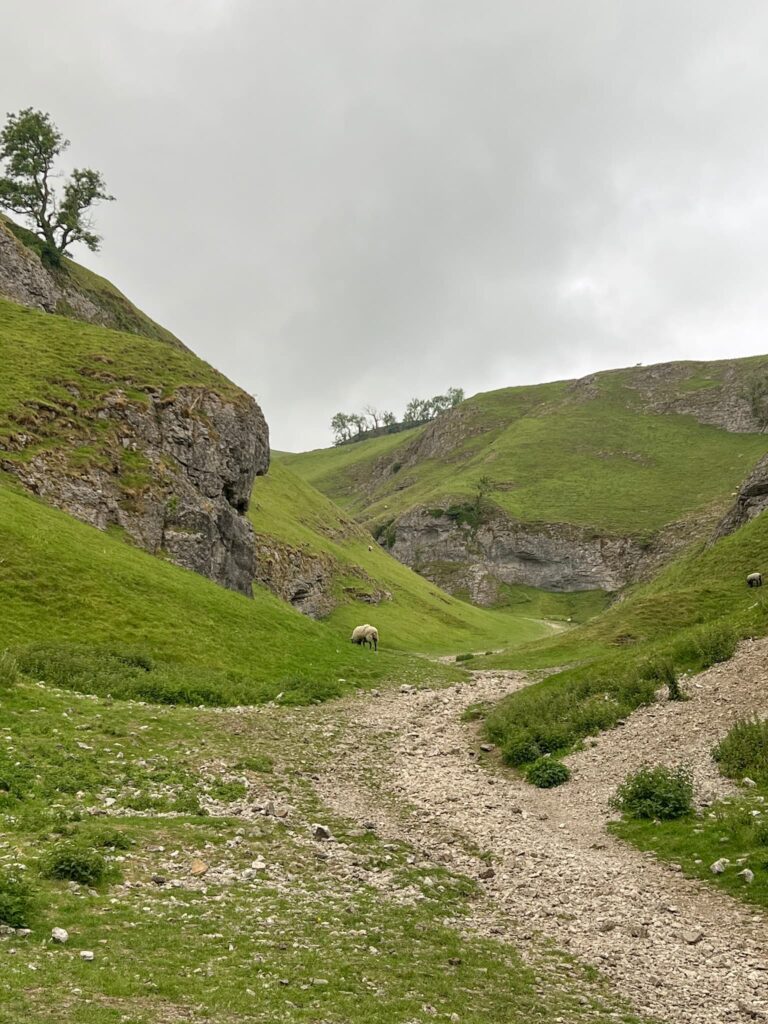
If you’re heading out for a walk from Castleton, you might find yourself wandering up Cave Dale – and it’s one of those places that feels a bit like stepping into another world. Towering limestone cliffs, rugged paths and a surprising bit of history hiding in plain sight.
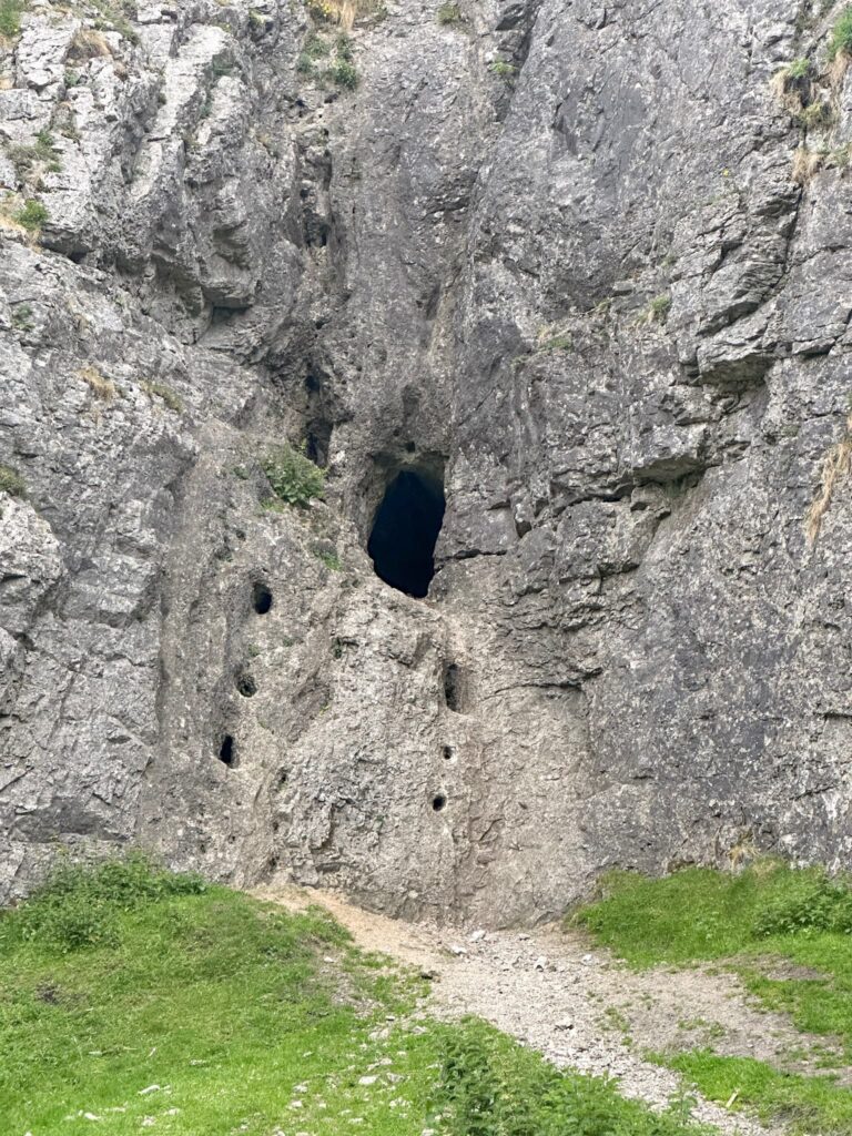
Cave Dale was carved out thousands of years ago by glacial meltwater, which cut deep into the limestone and created the steep-sided valley you see today. It’s a dry valley now, but there’s still water beneath your feet – quite literally! Peak Cavern (also known as the Devil’s Arse) runs beneath part of Cave Dale, and in some places, the rock is thin enough that you’re walking over the roof of the cave.
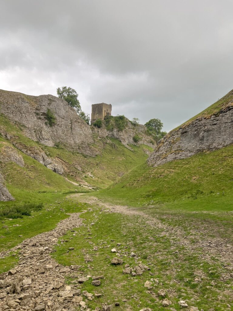
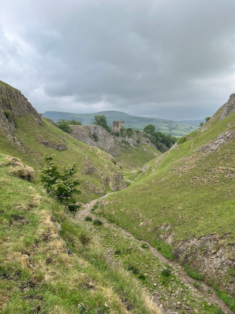
Look up to your right as you start the walk from Castleton and you’ll see the ruins of Peveril Castle, which was built around 1080 by William Peverel, one of William the Conqueror’s knights. The castle was built high on the cliffs for defensive reasons – and Cave Dale gave attackers a clear route in, so it was one of the castle’s weak spots.
Back in the mining days, the area was busy with lead miners, and you might spot spoil heaps and old shafts if you know where to look. But today, it’s more likely to be hikers, dog walkers and the odd fell runner braving the rocky path up the dale.
Oh – and if you’re into films, Cave Dale makes a cameo in the 1987 cult classic The Princess Bride, standing in for the “Cliffs of Insanity.”
Steeped in geology, medieval history and film trivia? Not bad for a morning walk.
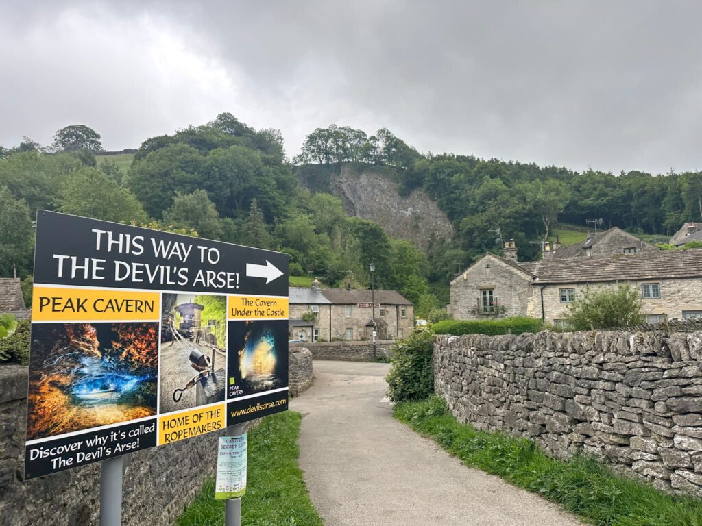
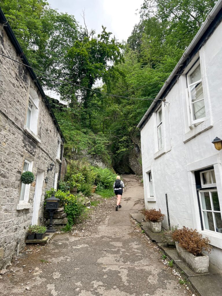
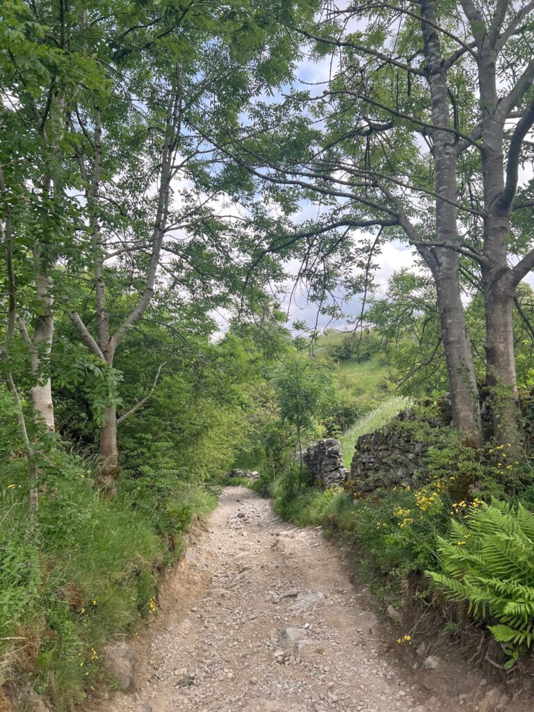
The walk starts from Peak Cavern (aka The Devil’s Arse) car park. We set off towards the Cavern, then turned left over the bridge and followed the lane up to Castleton Marketplace. We followed the road, passing The Old Barn outdoors shop and The Old Workshop, a holiday cottage, before reaching Cave Dale. The start of Cave Dale is tucked away between the cottages, where there’s a wooden gate and a notice board with information about the history of the area.
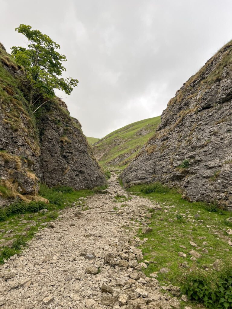
Winding up through Cave Dale, the path is quite rocky and loose in places. It climbs steadily, passing the ruined Peveril Castle perched high on the hillside. There are some small caves dotted here and there as you walk up the Dale. Don’t forget to stop and look back at the view down the valley as you go.
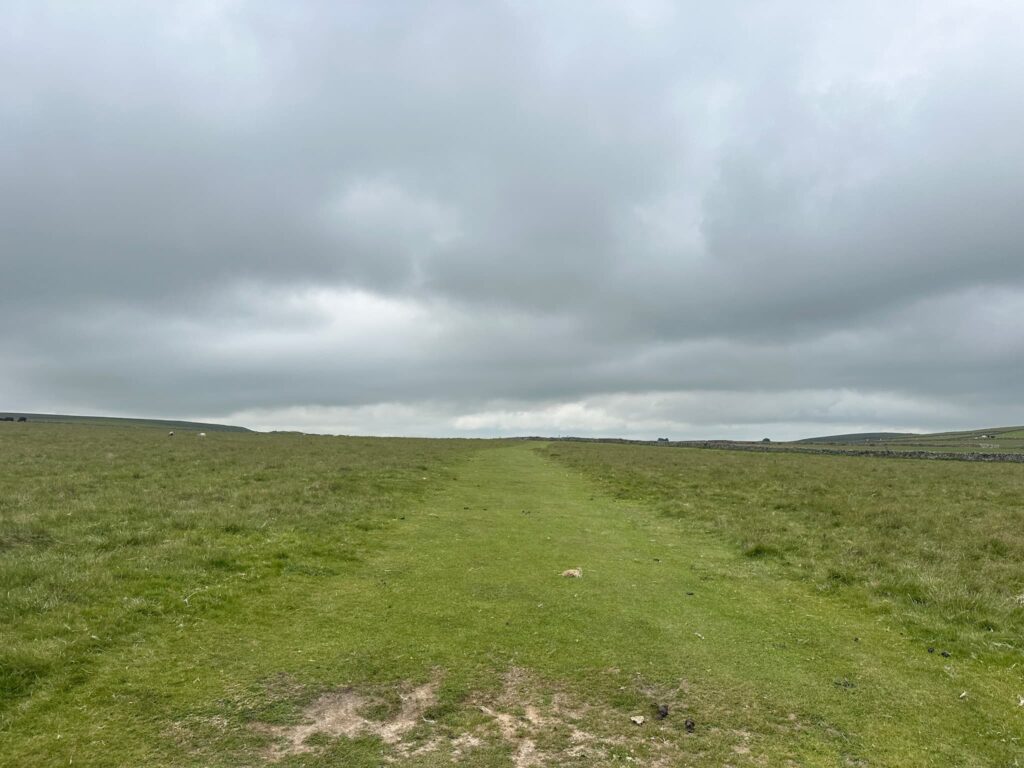
We carried on, following the Limestone Way, until we reached a wooden signpost. Here we turned left and followed the faint track over the field, passing through a couple of gates and joining a stony track.
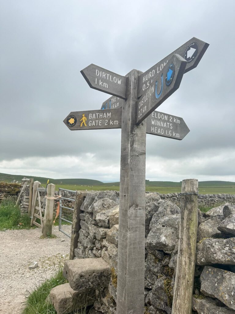
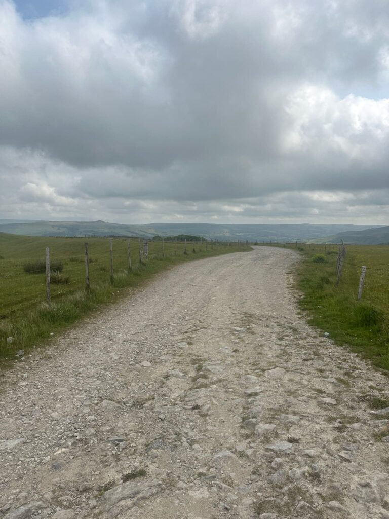
This track runs down Dirtlow Rake until reaching a junction. We continued round to the right before descending down the track into Pin Dale itself, passing the abandoned Pindale Quarry.
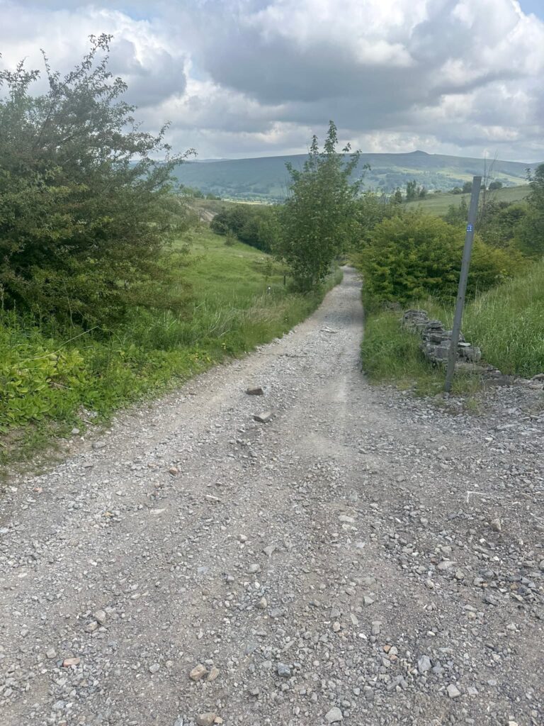
The route joins Pindale Road and turns left, heading back into Castleton Marketplace. From here we retraced our steps back to the car park.
Castleton Circular Walk Map:

Walk Map (Opens in OS Maps): Castleton Circular Walk via Cave Dale and Pin Dale Map
Parking: The Devil’s Arse, Castleton, Hope Valley S33 8WN. W3W:///nest.states.watches
Facilities: There are public toilets, cafes, shops etc in Castleton. There are none on the trail, so take all your rubbish home with you.
Walk Time: 2-3 hours
Difficulty: ▲▲
Distance: 4.7 miles (7.5km)
Trig Points Bagged: None
Peak District Peaks Bagged: None
Peak District Ethels Bagged: None
For more walks from Castleton why not try:
Walk from Castleton to Bradwell Moor Trig Point via Cave Dale | 5 Miles
Castleton to Mam Tor Circular Walk via Cave Dale | 6 Miles
Winnats Pass and Mam Tor Circular Walk | 6 Miles