• 3 Mile Walks or Less
  • 4 Mile Walks
  • 5 Mile Walks
  • 6 Mile Walks
  • 7 Mile Walks
  • 8 Mile Walks
  • 9 Mile Walks
  • 10 Mile Walks
  • 11 Mile Walks
  • 12 Mile Walks
  • 14 Mile Walks
  • 15 Mile Walks
  • 20+ Mile Walks

The Wandering Wildflower

Peak District Hikes

  • PEAK DISTRICT WALKS
    • SHORT WALKS UNDER 3 MILES
    • MEDIUM WALKS 4-9 MILES
    • LONG PEAK DISTRICT WALKS 10 MILES +
  • PEAK DISTRICT WALKS WITH PUBS
  • PEAK DISTRICT WALKS WITH KIDS
  • HOLMFIRTH WALKS

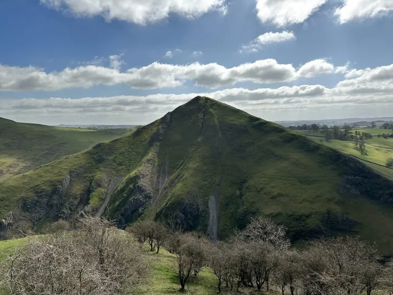
Derwent Edge, Derwent Moors and Boots Folly | 8.5 Miles

September 15, 2023 CIRCULAR WALKS, MEDIUM WALKS 4-9 MILES, PEAK DISTRICT WALKS

This 8.5 mile walk explores the beautiful and wild Derwent Edge and Derwent Moors before heading over to the quirky Boots Folly. With rugged gritstone outcrops and spectacular views over Ladybower Reservoir, this is a walk for summer when the heather is in full bloom.


Boots Folly, a small castle like structure

As this is a grouse moor, there are signs on gates advising dogs are only allowed on public rights of way. These are shown green on the OS Map and unfortunately a lot of this walk doesn’t use those green routes so this walk isn’t suitable for dogs.

A warning sign advising dogs are excluded

A sign advising dogs aren’t allowed on the moors. The only parts of this walk that use Public Rights of Way are Foulstone Road to the junction with the slab path that runs to Back Tor and from the top of Grainfoot Clough down past the grouse butts to Moscar House – all of Derwent Edge is NOT a public right of way. If in doubt, check the OS Map OL1 for a green public right of way path. Black paths on the OS map are “paths that have been identified by Ordnance Survey, but that are not necessarily rights of way because their status is not defined or known.”


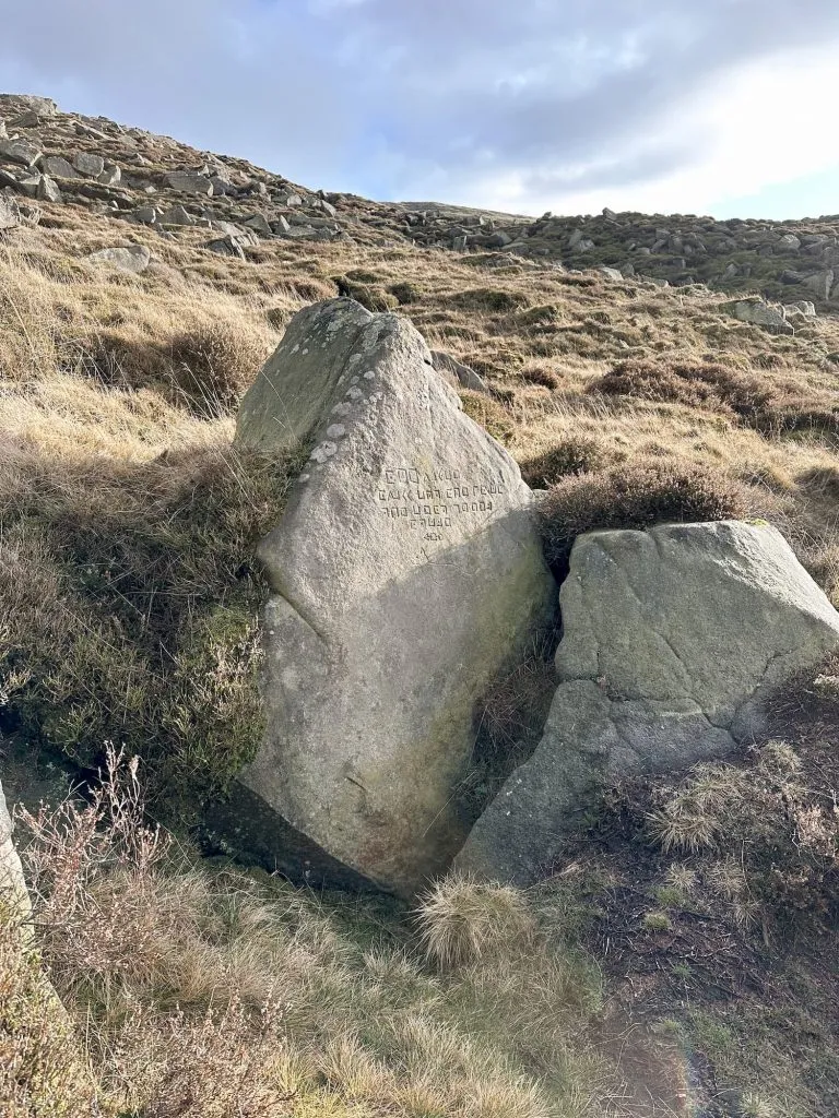
This walk starts from a parking lay-by near Strines Reservoir and involves a section of road walking along Mortimer Road to pick up Foulstone Road, a track leading up onto the moors. We followed the track until we reached the junction with the slabbed path leading to Back Tor, and then turned right to visit the Back Tor trig point. To get to the trig point you have to climb up onto the rocks.

A gateway leading to a moorland track

Back Tor trig point


From here we retraced our steps back to the junction then followed the stone slabs along Derwent Edge, passing the famous Cakes of Bread, Dovestone Tor, Salt Cellar and White Tor before reaching the Wheel Stones (or Devil’s Coach and Horses).

The Salt Cellar, a rock formation, in the heather

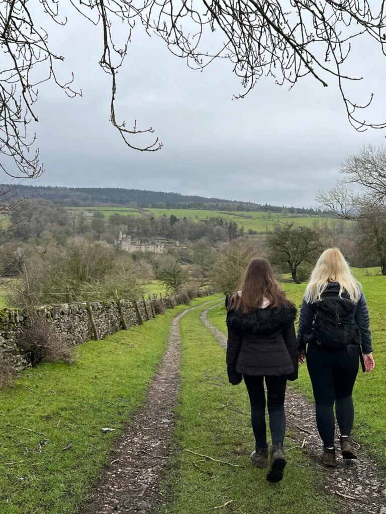
A short distance after the Wheel Stones is a path junction and we turned left, heading east down past the grouse butts. The path heads across the Derwent Moors and passes through Moscar House before emerging on Mortimer Road. We crossed the road and walked along Sugworth Road to Sugworth Hall, where we followed the footpath running alongside the driveway and out to the fields of Boots Folly.

Some sheep crossing a path into the heather. It's a grey day

A sign advising dogs aren't allowed on the moors

A view into a field through a metal gate to Boots Folly, a small castle like structure

Boots Folly, a small castle like structure


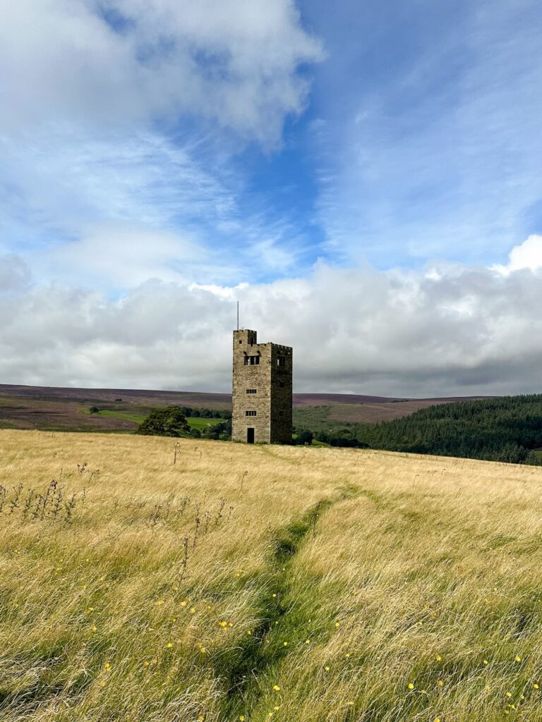
Boots Folly was built in 1927 and was constructed from the leftover stone from nearby Bents House. Noone knows for sure why it was built – it was either a folly commissioned by Charles Boot to give his workers something to do during the Great Depression or a tower to allow him to have a view of the churchyard at High Bradfield where his wife was buried. The tower used to have a wood panelled interior and a spiral staircase but this had to be removed when a cow managed to climb the stairs and get stuck! Nowadays the tower is an empty space (barring the usual fly camping rubbish that seems to be a blight everywhere these days).


The interior of Boots Folly


From Boots Folly we walked down towards Strines Reservoir, and then back up onto the road where the car was waiting.


Walk Details:


Walk Map (Opens in OS Maps): Derwent Edge and Boots Folly Walk

Parking: We parked in a lay-by near Strines Reservoir on Mortimer Road S6 6JE. There is space for approximately 6 cars here. W3W:///hurt.torn.foods

Facilities: None

Walk Time: 4-5 hours

Difficulty: ▲▲

Distance: 8.5 miles (13.68km)

Elevation: 1,225ft (373m)

Trig Points Bagged: Back Tor

Peak District Peaks Bagged: Back Tor

Peak District Ethels Bagged: Back Tor


You might also like:

Derwent Edge Walk

Picture Perfect: A Walk Along Ladybower Reservoir and Derwent Edge

Tap to share with your hiking friends!

  • Facebook
  • Email
  • WhatsApp
« Edale Skyline [With GPX File] | 20 Miles
Lose Hill and Win Hill | 8 Miles »

RELATED POSTS

  • Hathersage Stepping StonesHathersage Stepping Stones Walk | 7 Miles
  • Ladybower ReservoirLadybower Walk | 6 Miles
  • Anvil Stone, GrindsbrookGrindsbrook Clough Scramble to Grindslow Knoll | 7 Miles
  • A view of Win Hill from Bamford EdgeBamford Edge Walk | 6 Miles

Leave a Reply Cancel reply

Your email address will not be published. Required fields are marked *

FIND YOUR NEXT WALK:

ABOUT ME

Y Garn with Kids - Y Garn via the Devil's Kitchen Walk in Ogwen Valley

Hello! I’m Jo! Welcome to The Wandering Wildflower, an outdoors lifestyle blog focusing on family walks in the Peak District, a place we love exploring. I want to share the Peak District hidden gems and show you there’s so much more than the honeypot places. When I’m not dragging my husband and now 11 year old out on Peak District walks or up mountains, I can be found on planning my next moorland walk or plotting a Geocache walk (and seeing where the nearest pub is!). I love the hills but hate the heights, so trig bagging is – er- fun!


I hope this blog will give you some ideas of places to visit in the Peak District and inspire you and your family to head into the great outdoors.  Thanks for stopping by!

CATEGORIES

  • CIRCULAR WALKS (189)
  • HOLMFIRTH WALKS (27)
  • ISLE OF SKYE WALKS (3)
  • LAKE DISTRICT WALKS (26)
  • LANCASHIRE WALKS (2)
  • LONG PEAK DISTRICT WALKS 10 MILES + (42)
  • MEDIUM WALKS 4-9 MILES (137)
  • PEAK DISTRICT SCRAMBLES (16)
  • PEAK DISTRICT WALKS (206)
  • PEAK DISTRICT WALKS WITH KIDS (76)
  • PEAK DISTRICT WALKS WITH PUBS (60)
  • SCOTLAND WALKS (6)
  • SHORT WALKS UNDER 3 MILES (40)
  • SNOWDONIA WALKS (5)
  • UK CAMPING (5)
  • YORKSHIRE WALKS (33)

Peak District Walks

List of Peak District Ethels

Peak District Peak Bagging

Peak District Trig Point Challenge

Peak District Walks with Pubs

Peak District Walks with Kids

Beautiful Walks in Holmfirth

Short Walks in the Peak District

Long Walks in the Peak District

AFFILIATE DISCLOSURE

This blog may contain affiliate links through which, at no additional cost to you, I may earn a small commission. I only recommend products I would use myself and all opinions expressed here are my own. As an Amazon Associate I earn from qualifying purchases. Read full privacy policy here.

ARCHIVES

PEAK DISTRICT WEATHER

Peak District mountain weather on Met Office

Peak District Trig Points

Promo image for a blog post about the Peak District Trig Point Challenge With Map of Peak District Trig Points and Walking Routes by The Wandering Wildflower

Peak District Ethels Challenge

Promo image for a blog post about the Peak District Trig Point Challenge With Map of Peak District Ethels and Walking Routes by The Wandering Wildflower

WALKING ROUTES STRAIGHT TO YOUR INBOX

Want new walks in your inbox? Drop your email below and I'll send you some ideas for walks you can try.

You can unsubscribe anytime. For more details, review our Privacy Policy.

Thank you!

You have successfully joined our subscriber list.

RSS LATEST POSTS

  • How to Find Three Shires Head
  • Peak District Pub Walks
  • Burnbank Fell, Blake Fell and Gavel Fell | 8 Miles
  • Bretton Park Circular Walk | 3 Miles
  • Grasmere Weekend Break

FOLLOW ON PINTEREST

Want new walks in your inbox? Drop your email below and I'll send you some ideas for walks you can try.

You can unsubscribe anytime. For more details, review our Privacy Policy.

Thank you!

You have successfully joined our subscriber list.

jo@thewanderingwildflower.co.uk

The Wandering Wildflower

  • Email
  • Facebook
  • Instagram
  • Pinterest
  • PRIVACY POLICY
  • TERMS & CONDITIONS
  • ABOUT

(c) The Wandering Wildflower. All Rights Reserved.

|| THEME BY ECLAIR DESIGNS