Derwent Reservoir and Slippery Stones Walk | 10 Miles
This is a lovely walk around Derwent Reservoir, Howden Reservoir and Slippery Stones in the Derwent Valley. Here’s the route information for this 10 mile Derwent Reservoir walk.

At just over 10 miles it’s a fair way in distance but there isn’t much climbing, and the paths are really easy going. This is a very popular place for walkers and cyclists.
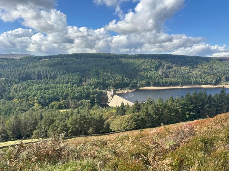
Our walk starts at Fairholmes and heads north-east, up past the iconic Derwent Dam. This is a really impressive sight when it’s overflowing, but the water levels were very low when we visited in August 2022. It’s still very impressive though, especially considering it’s built from gritstone and not earth like most other reservoir dams.

There’s a steep climb up the side of the dam to get on the footpath that winds its way alongside Derwent Reservoir but the going is pretty flat after this and the paths are good.


Howden Dam
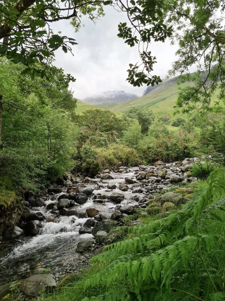
As well as Derwent Dam there is the Howden Dam, a slightly smaller version but built in the same way. Following the footpath down Cold Side, you’ll come to Slippery Stones and the packhorse bridge. This packhorse bridge originally crossed the River Derwent near Derwent Hall and was moved stone by stone to it’s current position in 1959 when the village of Derwent was flooded to create Ladybower Reservoir.


Slippery Stones
This is one of the best Peak District wild swimming spots. Just up from the packhorse bridge is an area where you can swim. We had a swim here and dried off a bit with a picnic, then headed back over the bridge to continue our walk.
Winding back through the woodland, we passed the remains of Birchinlee, also known as Tin Town. This was a temporary village which was constructed to house the 1000 workers and their families who built the reservoirs and dams. There is the Tin Town Trail which takes you through the woods where the houses and buildings were, with information boards sharing what life would have been like for those workers.


Near to the Tin Town monument is the remains of a railway which was used in the construction of the reservoirs, and this can be seen better when the water in Derwent Reservoir is low.
We walked further along the road, and came to the Dam Busters Memorial which commemorates the exploits of the 617 Squadron who used Derwent Reservoir and Ladybower Reservoir to practice their techniques for dropping the bouncing bombs.
After we’d finished our walk, we headed off to The Strines Inn for some lunch (The Yorkshire Bridge stop serving food at 3pm). If you go to The Strines, be sure to look out for the peacocks – they have loads!
This Derwent Reservoir walk is great for those with limited mobility as a lot of the paths are accessible, and you don’t have to do the full 10 miles if you don’t want. There are benches and viewpoints dotted around the reservoir.
Other walks in the area include Ladybower Reservoir and Derwent Edge and Alport Castles and Westend Moor Trig Point.
Derwent Reservoir Walk Map:
Walk Map (Opens in OS Maps): Derwent and Howden Reservoirs to Slippery Stones
Parking: Fairholmes, Derwent Ln, Bamford, Hope Valley S33 0AQ – pay and display
Facilities: The visitors centre has toilets and a cafe
Walk Time: 3-4 hours
Difficulty: ▲▲
Distance: 10.6 miles (17.1km)
Trig Points Bagged: None
Peak District Peaks Bagged: None
Peak District Ethels Bagged: None
Some more walks from Fairholmes:
Lost Lad and Back Tor with Abbey Brook
Alport Castles and Westend Moor Trig Point
Fairholmes to the Grinah Stones


