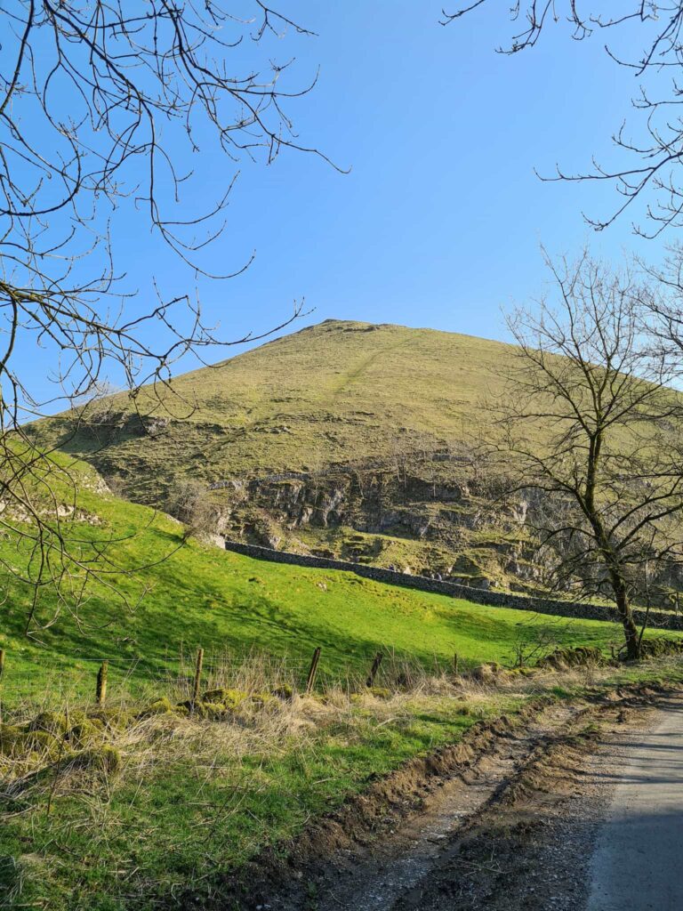
Ringing Roger to Crookstone Hill Walk | 7.5 Miles
Looking for a walk from Edale with stunning views and no crowds? This 7.5 mile walk explores the quieter side of Kinder Scout, heading up Ringing Roger and then onto Crookstone Hill before returning via Jaggers Clough and Nether Booth. It’s a perfect morning or afternoon walk, and finishes at The Ramblers Inn for a spot of post-hike refreshment.
Crookstone Hill Walk Overview
- Facilities – Car park and toilets at Edale, as well as pubs and a cafe
- Distance – 7.7 miles
- Difficulty – Moderate
- Route type – Circular
- Start point – Edale Train Station Car Park
- Terrain – Rough moorland paths, rocky paths, bridleway and field tracks
Highlights of the Walk
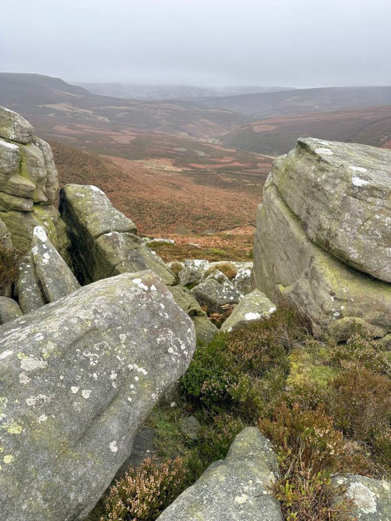
- Climbing Ringing Roger – an optional Grade 1 scramble, Ringing Roger is topped by a variety of gritstone boulders with an other-worldly appearance. There are amazing views over to Mam Tor and The Great Ridge.
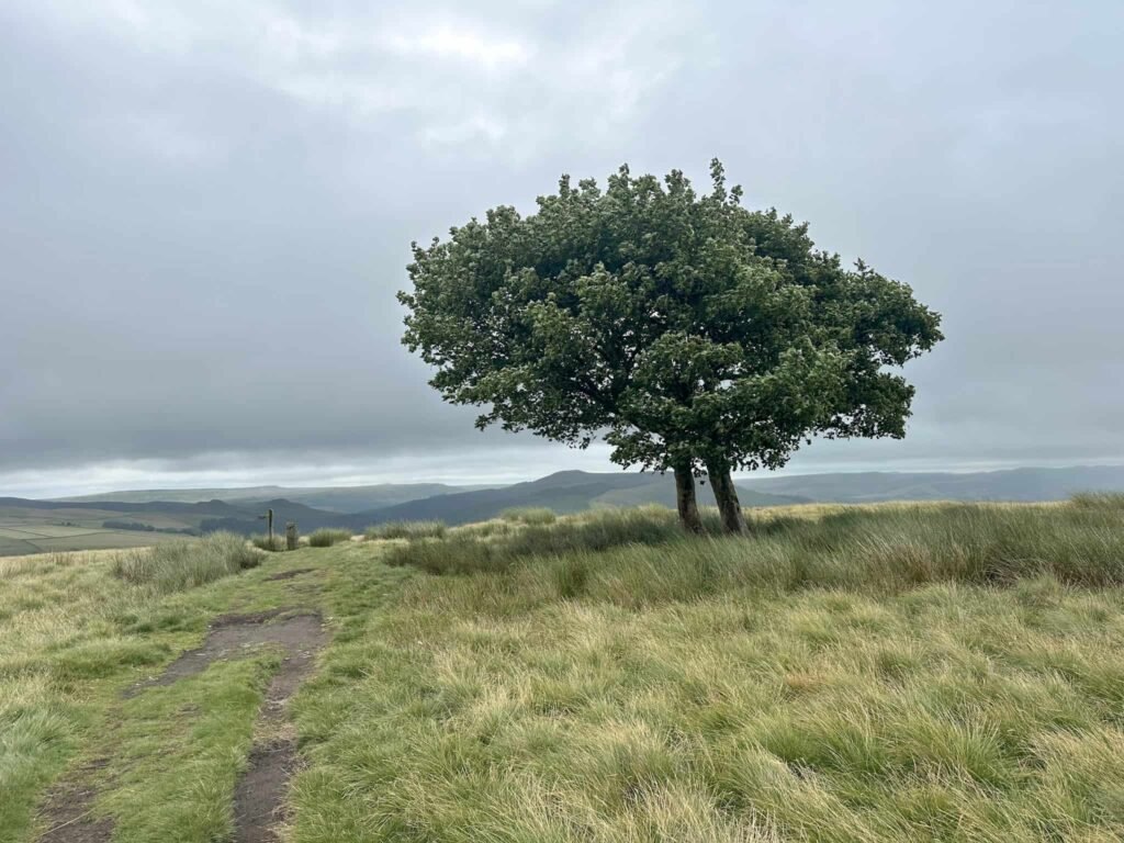
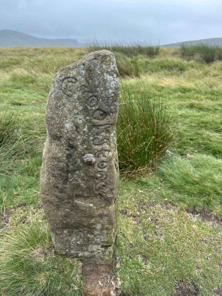
- Crookstone Hill – the quieter side of Kinder Scout. Look out for the lonely trees and the carved gatepost. There are views here of Win Hill and Lose Hill.
- Peace and quiet – while Edale can be really busy, this side of Kinder Scout is much quieter with fewer people venturing this way. You can still experience Kinder Scout without the crowds!
- This walk is accessible by public transport, with the start point being near Edale train station. You can find out train times and fares on the National Rail website.
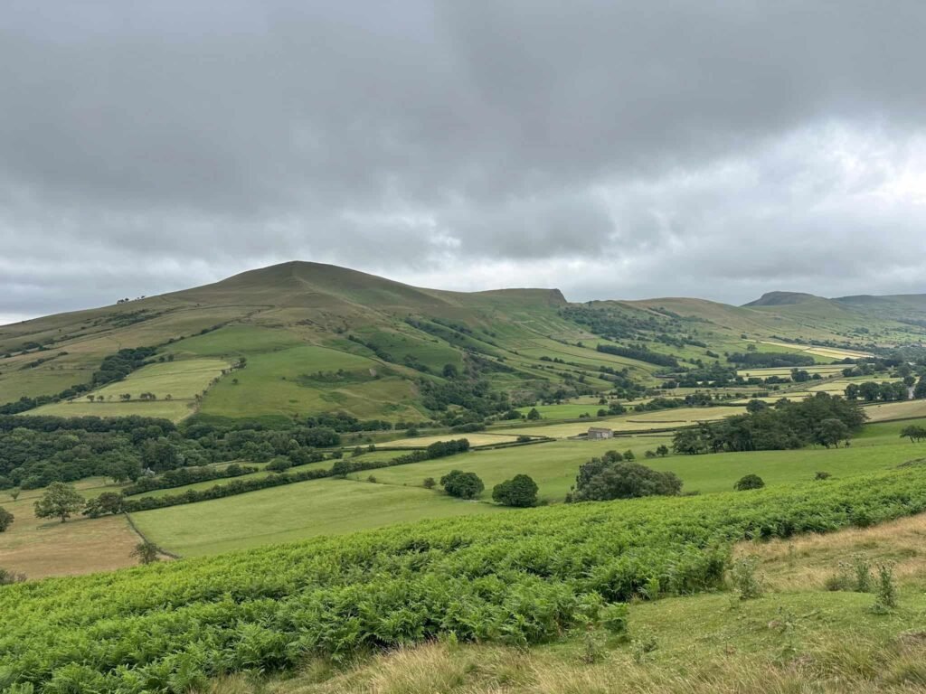
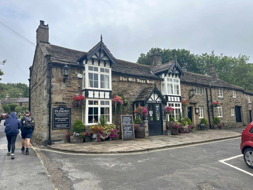
This walk starts from Edale car park, near to the train station and the Pennypot Cafe. From the car park we turned right to walk under the railway bridge, passing The Rambler Inn and continuing past Edale Church and into the centre of Edale itself, where there is the Old Nags Head pub and the start of the Pennine Way. With the Old Nags Head on our right, we continued north, passing quaint cottages, until we reached a gate for The Gathering, Edale. There is a footpath sign for Grindslow Knoll which leads over a wooden bridge over Grinds Brook, and up some steps into a field.
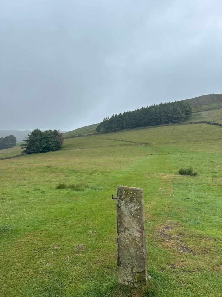
The path follows the stone slabs for a short distance to a small building, and then heads straight off to the right up the hill an the old gatepost. There’s a wooden gate and then some stone steps leading up The Nab.
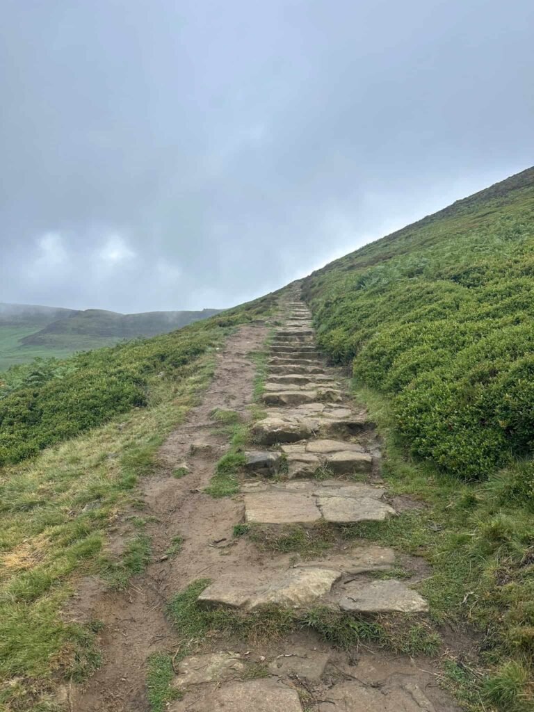
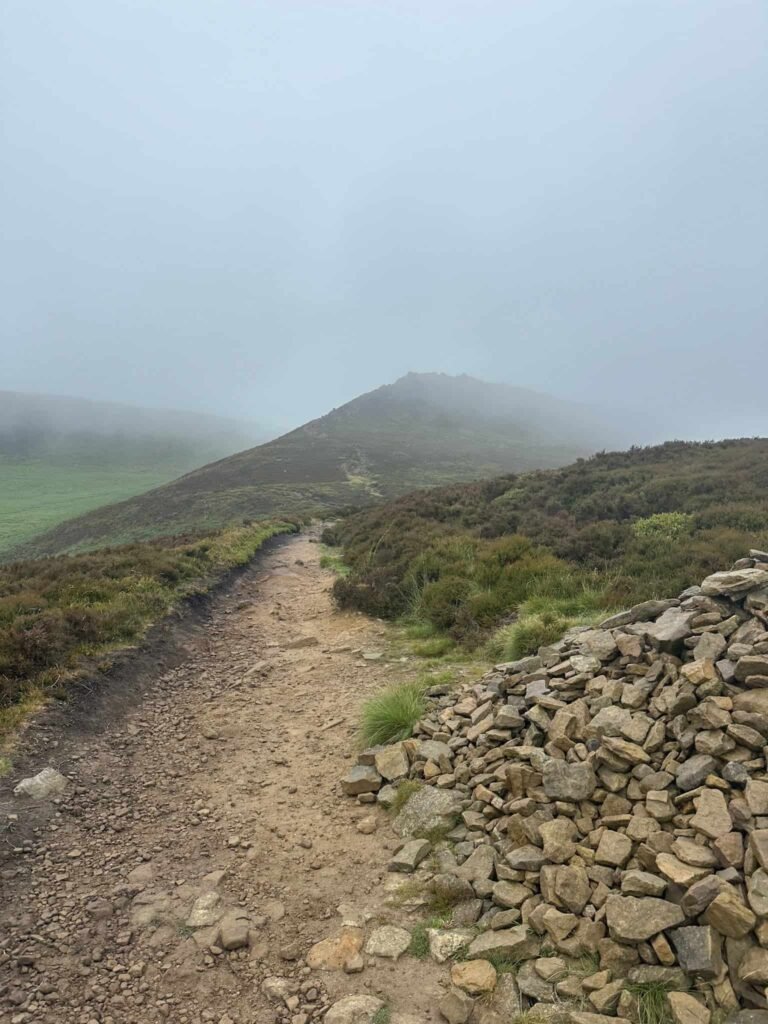
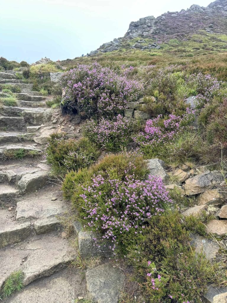
The path switchbacks a few times and then becomes more rough. There’s a fork in the path by a large stone cairn, and we took the right hand path to climb up to Ringing Roger. There is a footpath running at a slightly lower level if you didn’t want to use the really rocky way up.
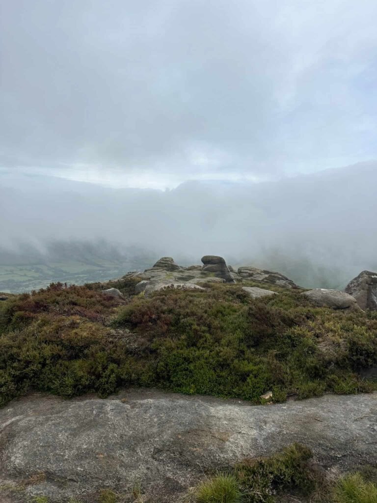
At the top, we admired the view and then set off east, picking up the footpath that runs over Rowland Cote Moor. This path winds its way along Upper Moor and Crookstone Out Moor before descending via a steep rocky section onto Crookstone Hill.
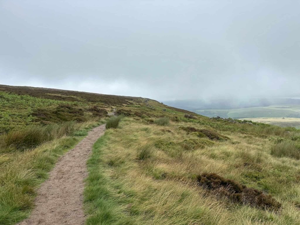
We passed the lonely trees and the carved Crookstone gatepost, and then followed the wooden footpath sign downhill to a stile.
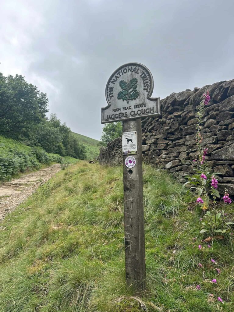
Over the stile, we followed the bridleway to the PNFS green sign ‘to Edale’, and then went on the bridleway to Jaggers Clough. Crossing the clough, we climbed the rough track (this is the route of the Steel Cotton Rail Trail), passing the small wooden gate.
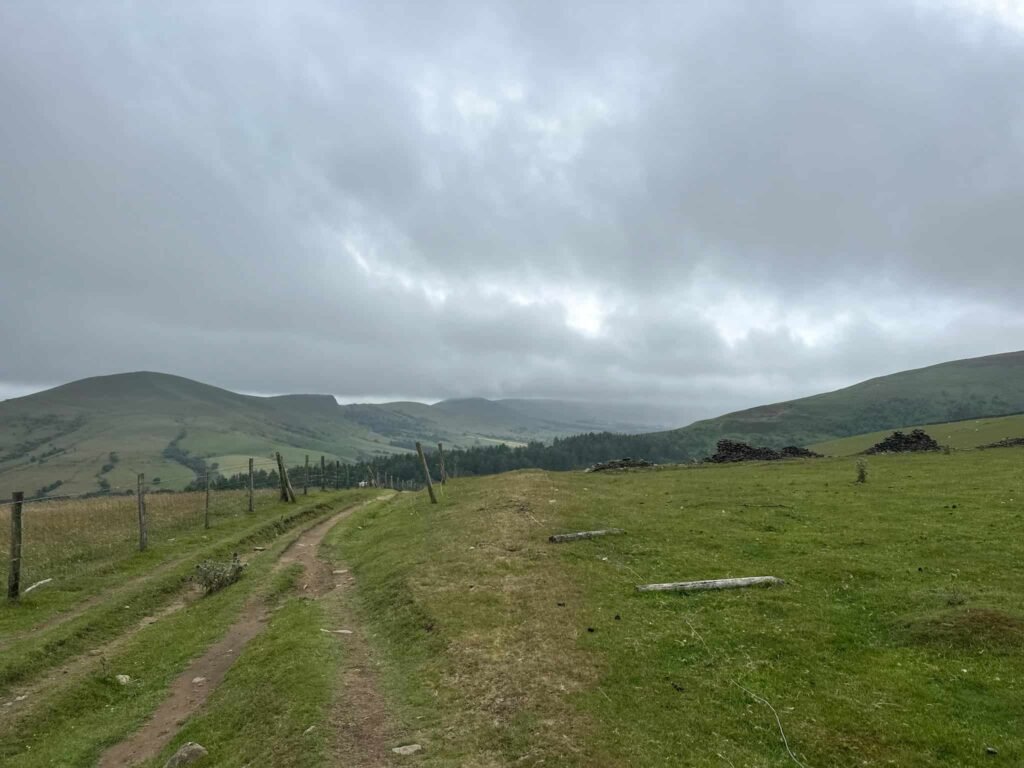
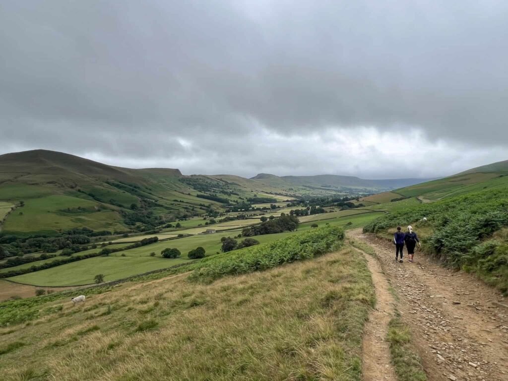
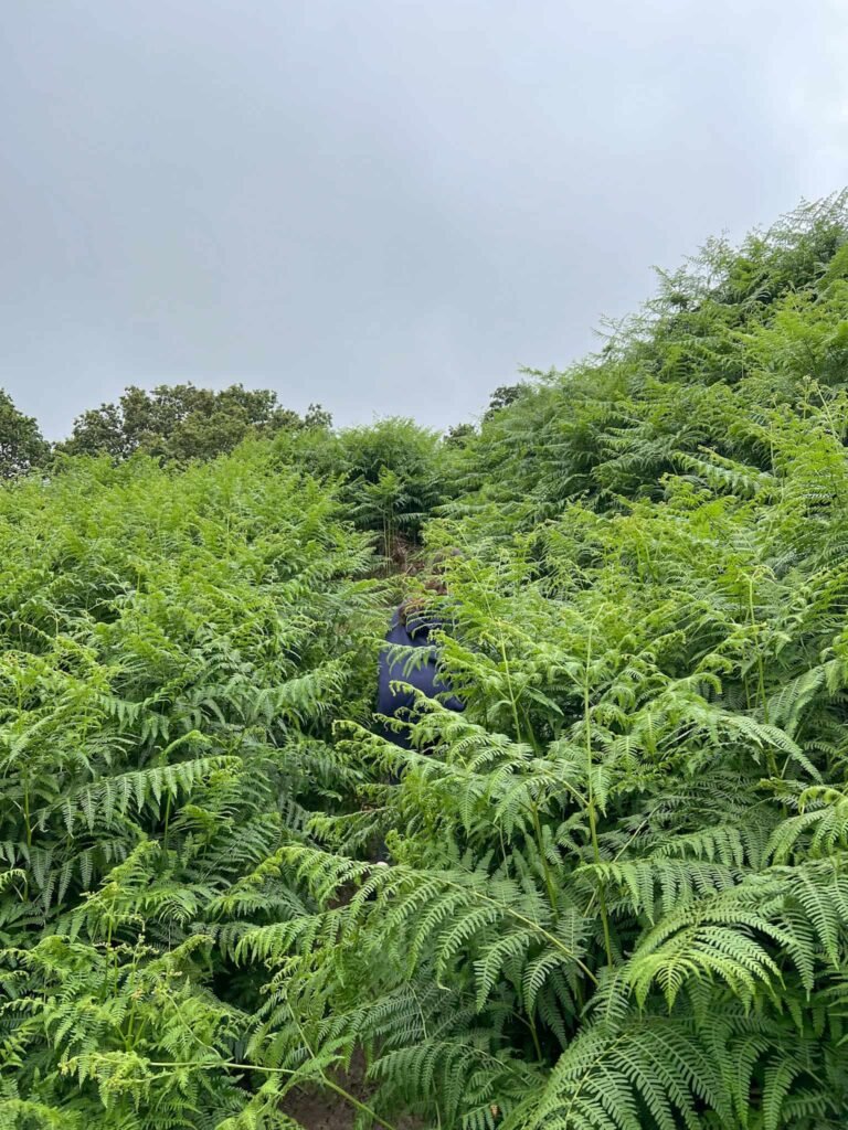
The path continues and then splits. We took the right hand path, climbing up the hill slightly to follow the wall line through the bracken, crossing a stream above Clough Farm and Lady Booth Brook to reach the YHA Edale.
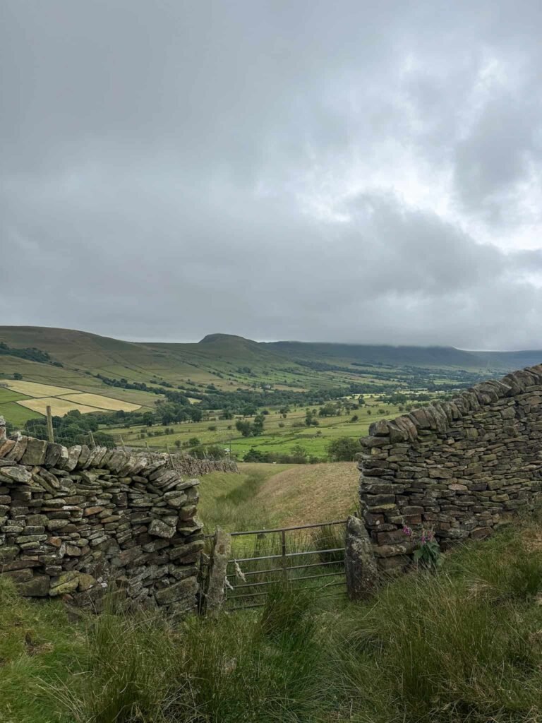
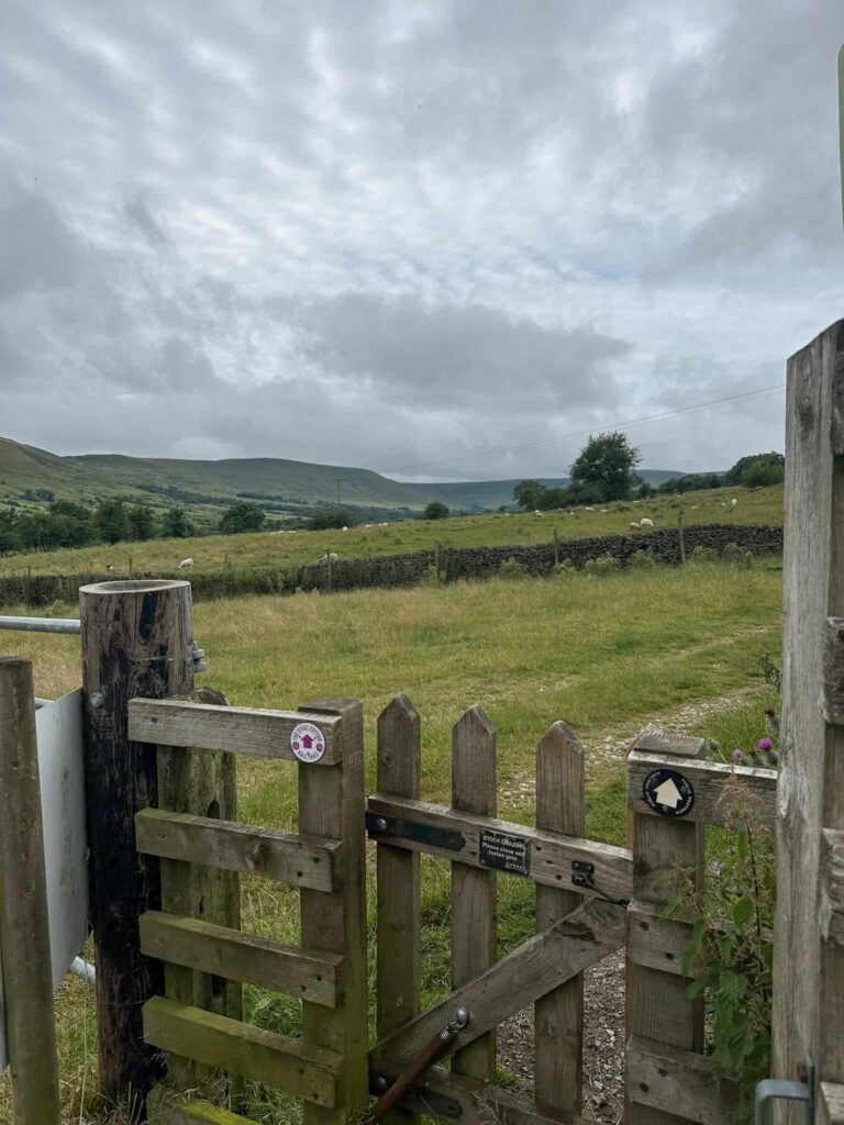
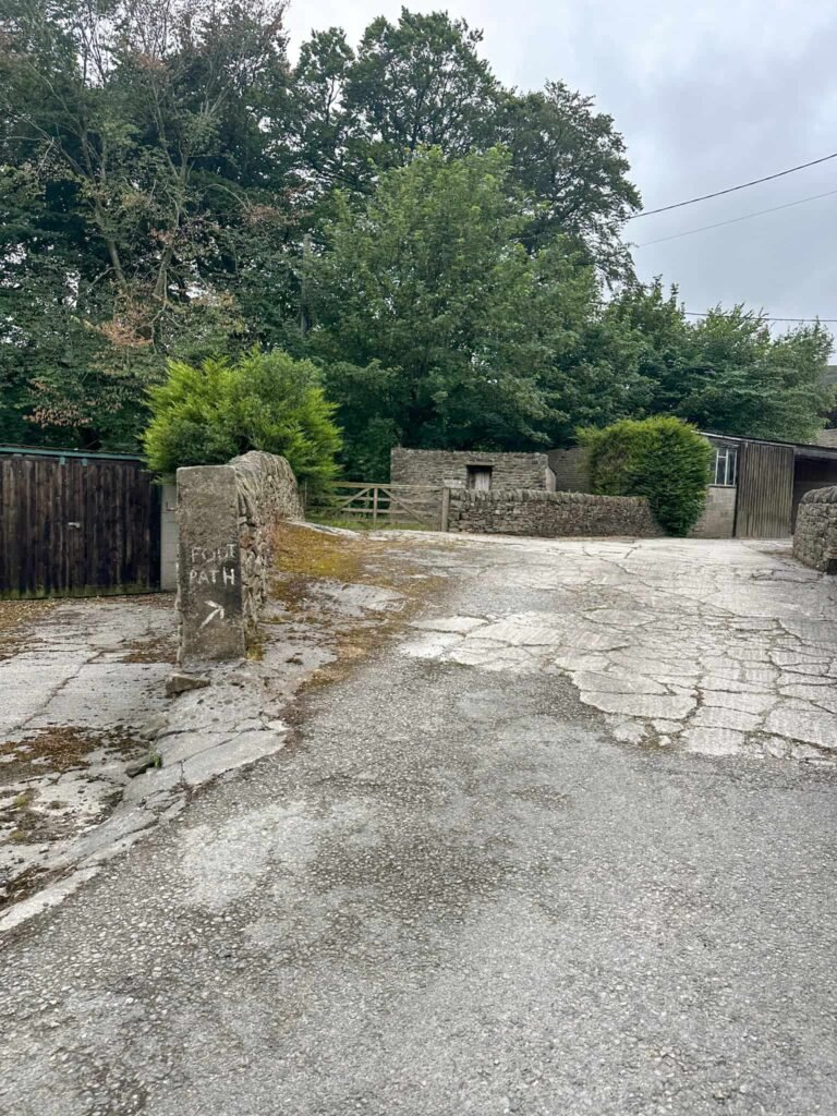
It’s hard to see where the footpaths go here, so we walked through the car park and down the access track to Lady Booth Hall Farm, and then picked up a footpath on the right, heading over the fields to Ollerbrook Brook and then emerging just up the road from the train station.
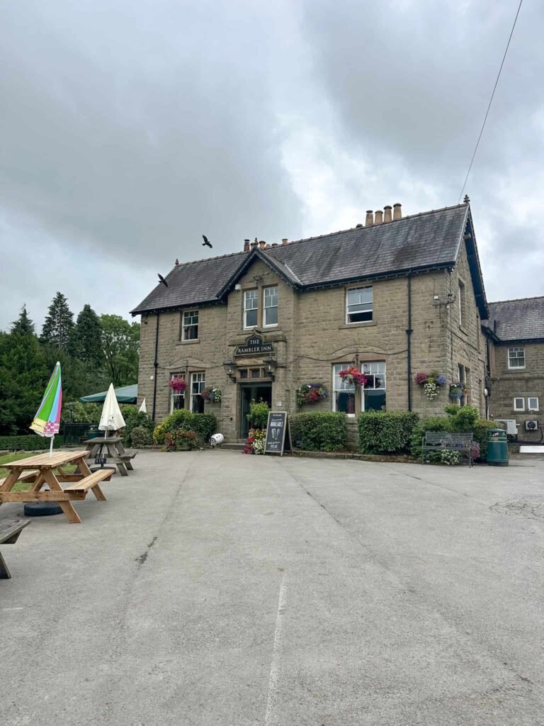
We turned left and followed the road back a short distance to The Rambler Inn, where we had a drink and some ok food (I had nachos with chilli that had a big bit of raw mince) – if I had to recommend the best pub in Edale for food it would be the Old Nags Head. From the pub it’s a short distance back to the train station or car park.
Walk Map (Opens in OS Maps): Edale to Crookstone Hill Walk
Parking: Edale Car Park, Water Meadows, Hope Rd, Edale, Hope Valley S33 7ZQ W3W:///loudly.consoled.copper. Pay and display – cards and cash (£6.80 as of July 2026). There is an overflow car park which sometimes operates near the railway station, and Edale station itself has 20 parking spaces.
Dogs: Dogs on leads near livestock – the route uses public footpaths but does cross a lot of farmland. It uses Open Access Land over Kinder Scout, so dogs need to be on a short lead between 1 March and 31 July to protect wildlife.
Facilities: There are toilets in the car park.
Walk Time: 3-4 hours
Difficulty: ▲▲
Distance: 7.7 miles (12.39km)
Elevation: 1591ft (485m)
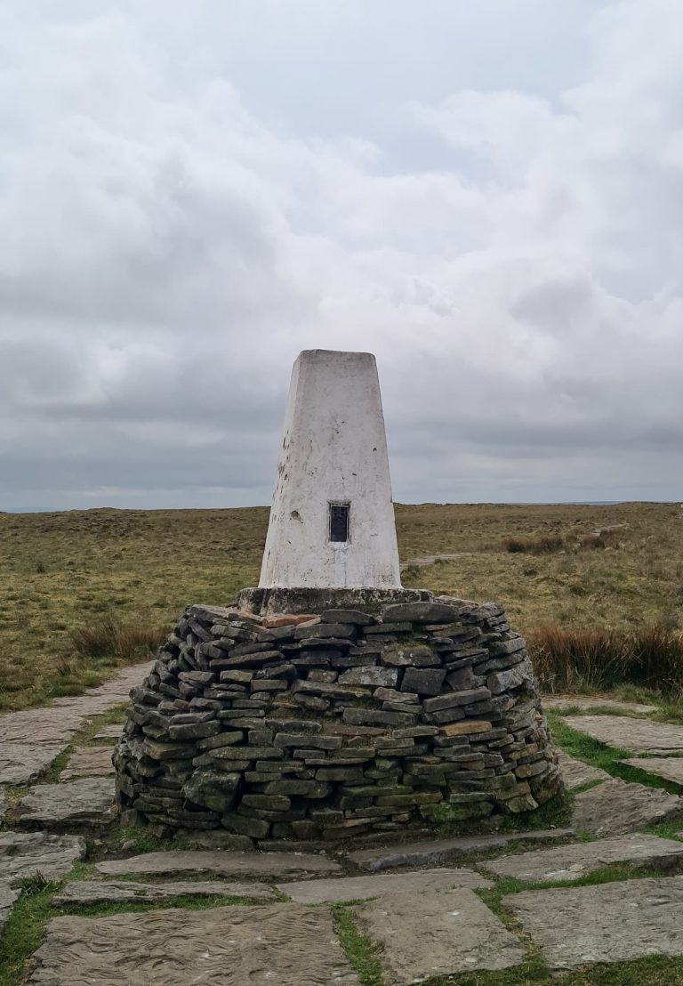
Trig Points Bagged: None
Peak District Peaks Bagged: None
Peak District Ethels Bagged: None
You might like: