Kinder Scout 3 Trig Points Walk | 13 Miles
This Kinder Scout 3 trig point walk starts from Edale and bags the 3 Kinder Scout trig points. It’s 13 miles and involves crossing the plateau twice, but it’s a great day out on the hills.
This high level walk starts from Edale and heads up the steep climb of Ringing Roger to the first trig point, Edale Moor. It then crosses the plateau and continues around the path along the northern edges before crossing again to The Edge. The route then heads over to the highest waterfall in the Peak District, Kinder Downfall, before passing the Kinder Low trig and descending back into Edale via Jacob’s Ladder and the iconic packhorse bridge (and a beautiful waterfall). This is a great walk to bag all of the Kinder Scout 3 trig points.
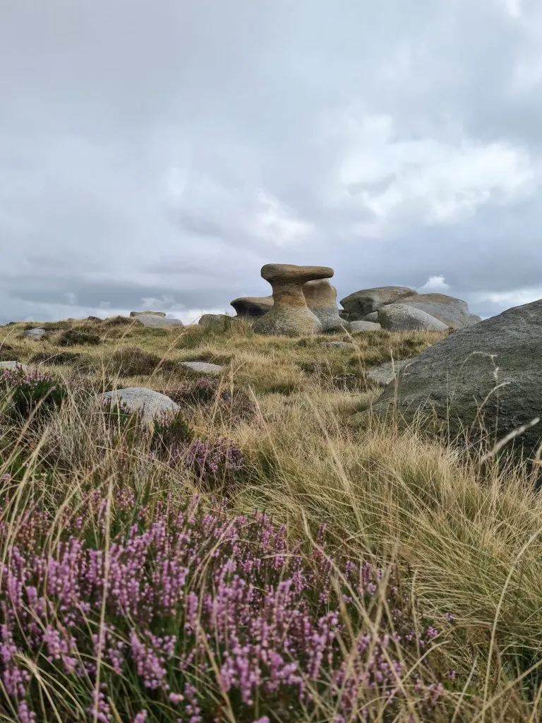
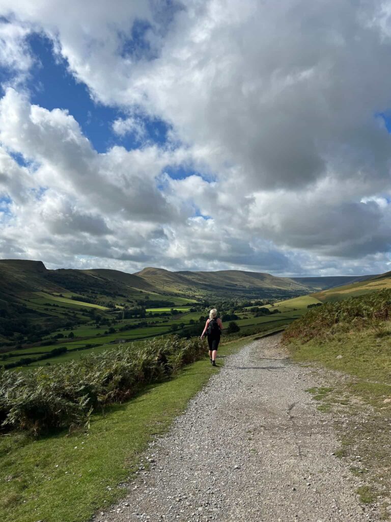
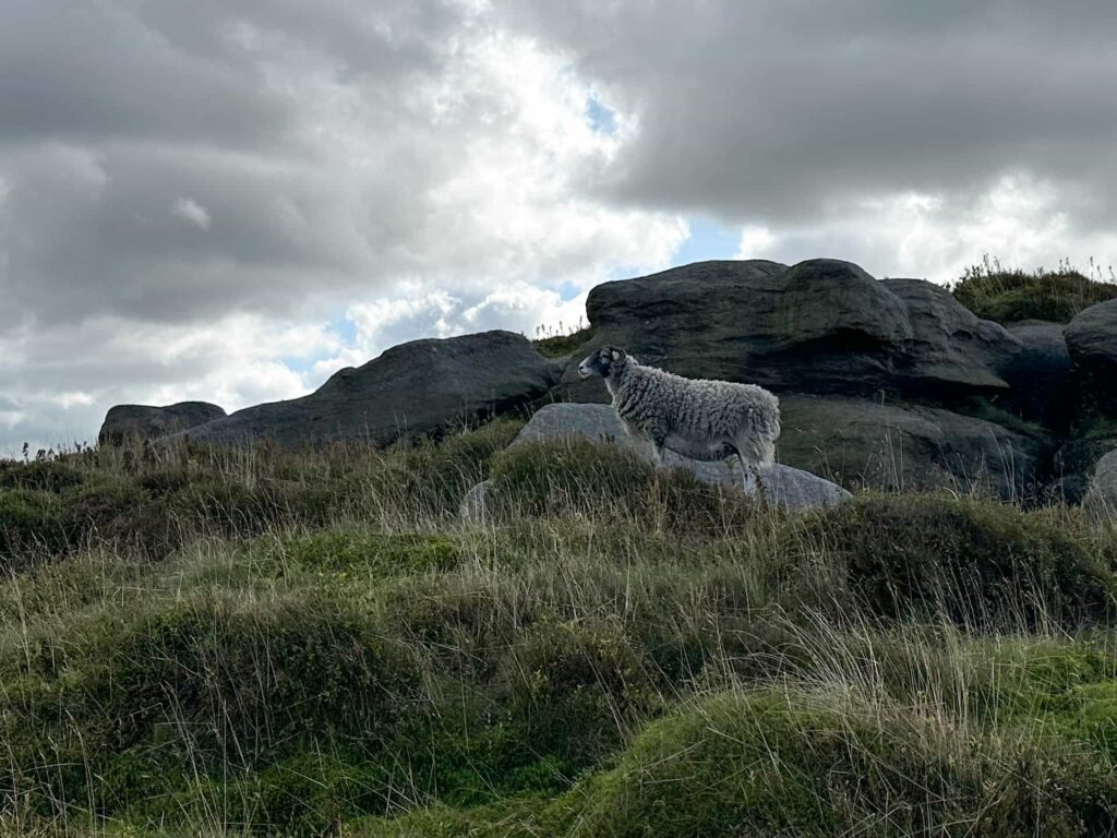
We parked in Edale car park and set off up through the village of Edale. After passing the cottages and the Old Nags Head we followed the footpath over the bridge and out onto Heardman’s Plantation. The path splits, with the left hand one taking you up Grindsbrook, but we took the right hand fork which climbs steeply up onto the Open Access Land of The Nab. There are stone steps to “help” you up the hill, and a couple of switchbacks to make the going a bit easier, but it’s still steep! We skirted around the rock formations of Ringing Roger but these are a great scramble.
At the top of the climb, the path meets the edge path that runs around the plateau. We ignored this path and continued onwards following a faint path running alongside a stream. This path leads to the Edale Moor trig point and is VERY wet and boggy in places, so we had to take a couple of diversions to be able to cross the boggy bits. We were lucky because we could see the trig point we were heading to – in poor weather conditions this might be a challenge.
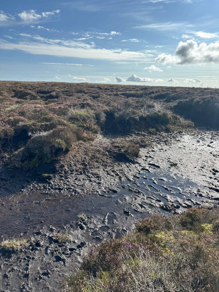
After we reached the Edale Moor trig, we continued due north to reach the northern edges path. There is a faint path to follow here, but it’s very wet – Joel slipped on the path and ended up thigh deep in a bog!
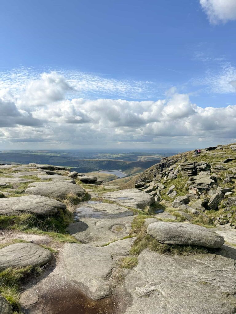
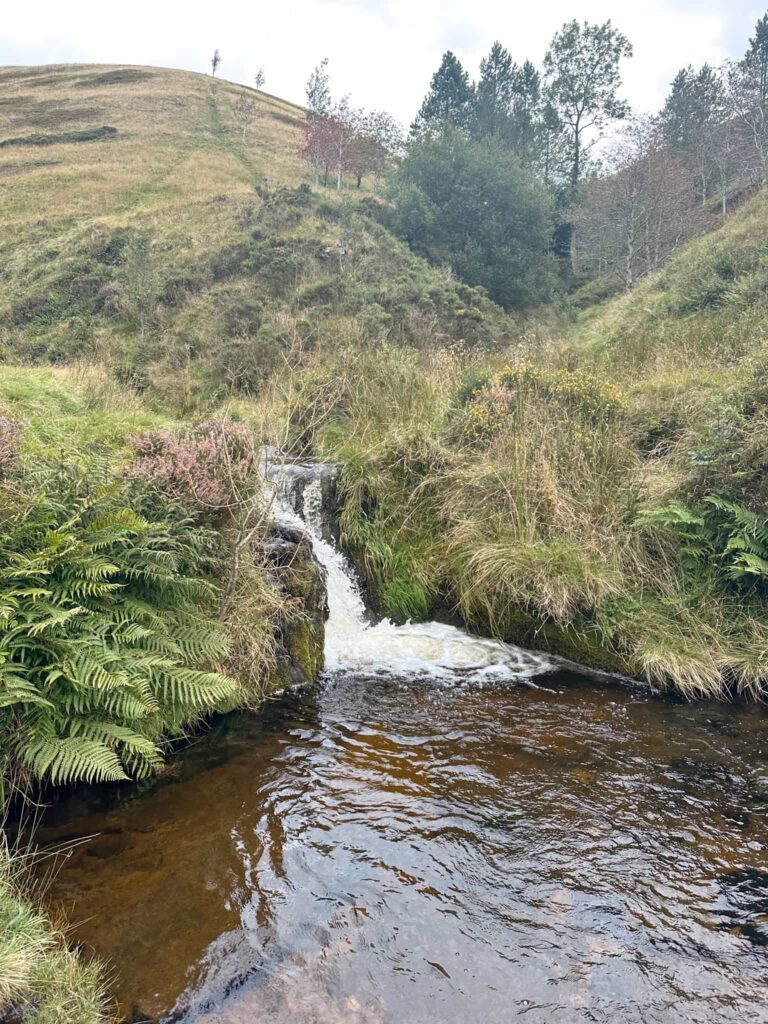
Once we reached the northern edge path we turned left and followed this for approximately 5 miles as it winds its way around the plateau, passing beautiful rock formations and crossing the tops of waterfalls along the way, including Blackden Brook, Seal Edge, Fair Brook, Nether Red Brook and Upper Red Brook.
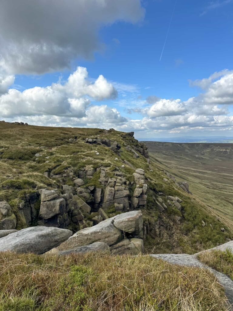
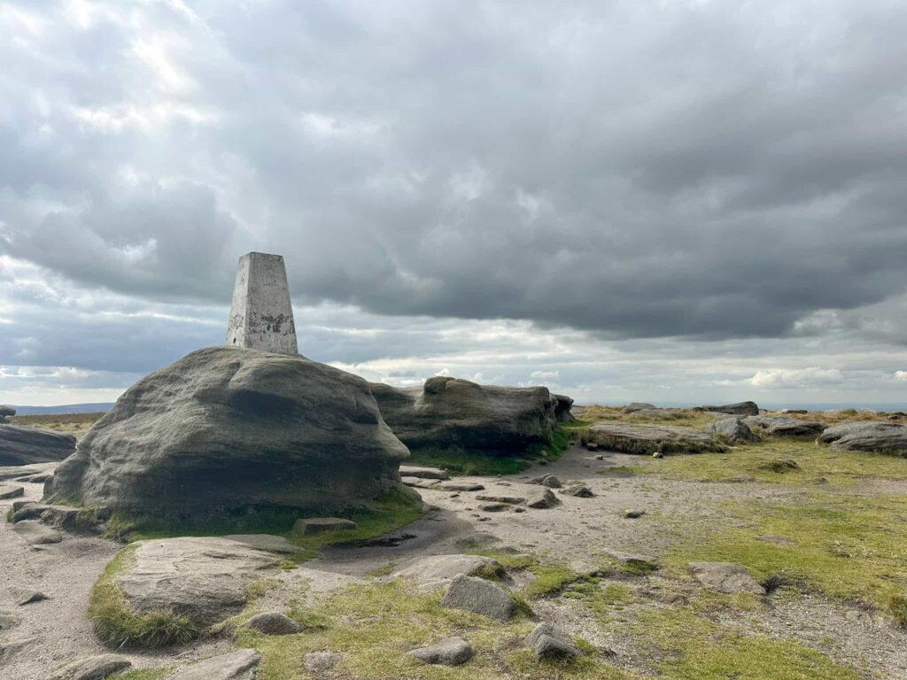
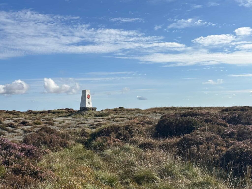
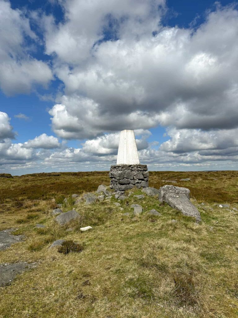
At the top of Upper Red Brook we left the main path and headed south-west, following a stream bed to reach The Edge trig point(s) – this trig point gives you two for the price of one!
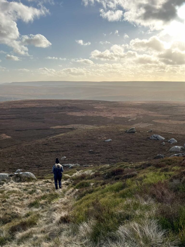
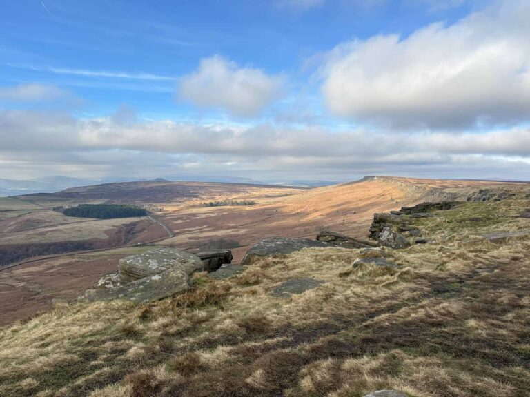
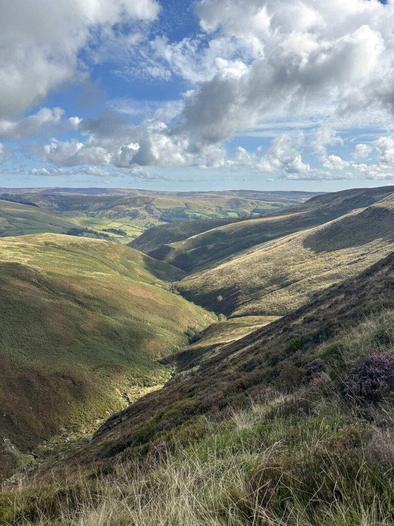
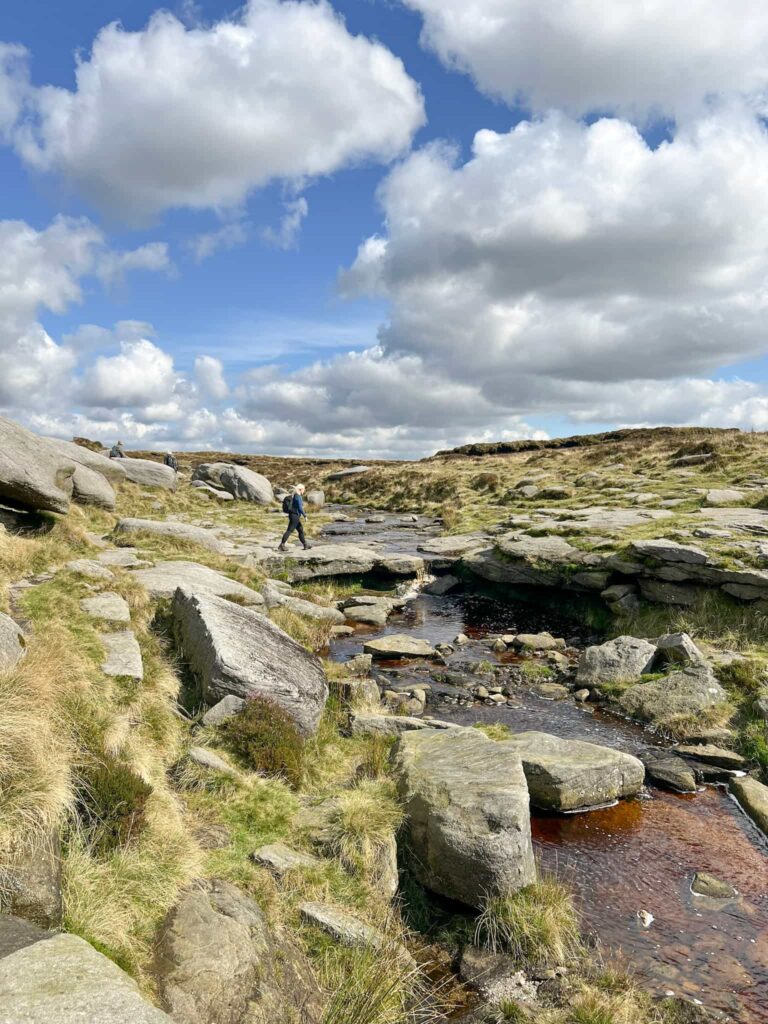
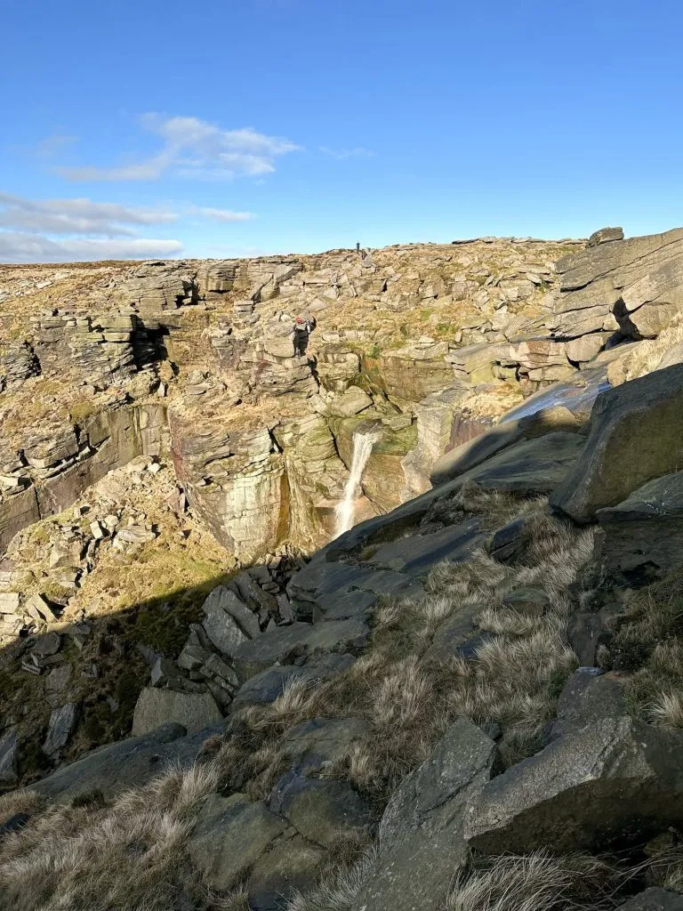
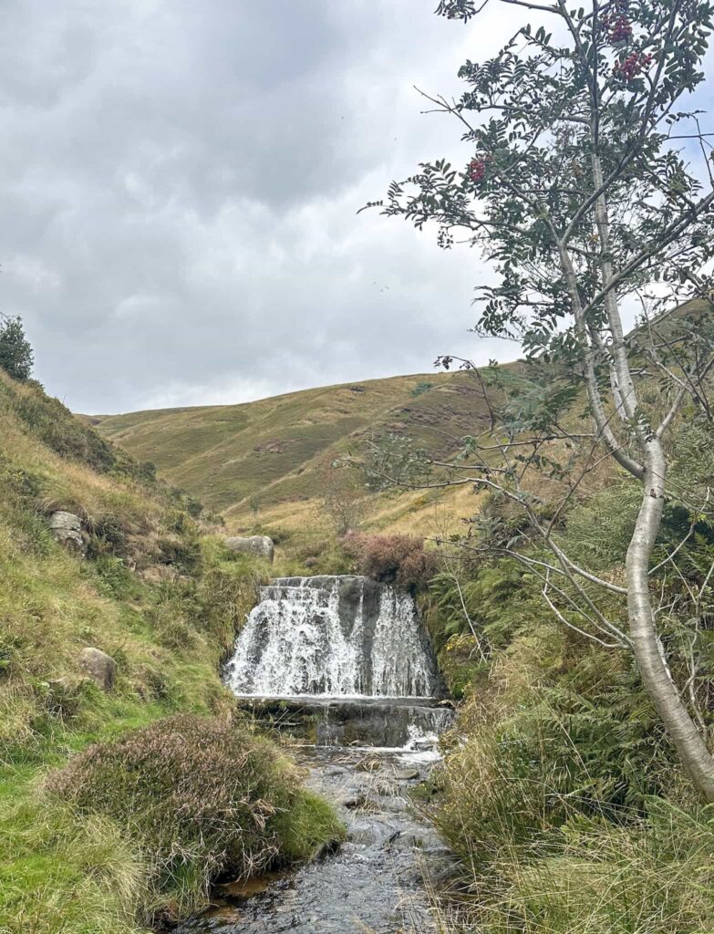
After The Edge we headed south to the fence line and then followed this, dropping down onto the main path, the Pennine Way, that runs around the southern edge of Kinder Scout. From here there are stunning views on a clear day down to Kinder Reservoir and the Mermaid’s Pool. The Pennine Way winds its way past yet more quirky rock formations and reaches the top of the River Kinder and the Kinder Downfall, the tallest waterfall in the Peak District. On a windy day the water can sometimes be blown back up, which is quite a sight to see!
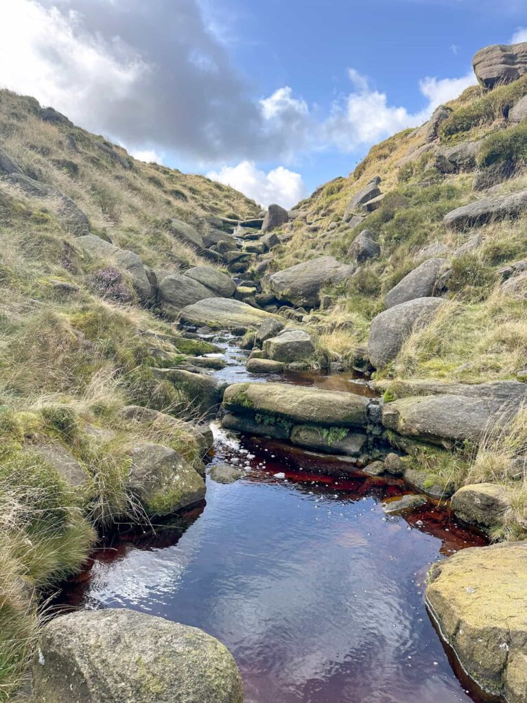
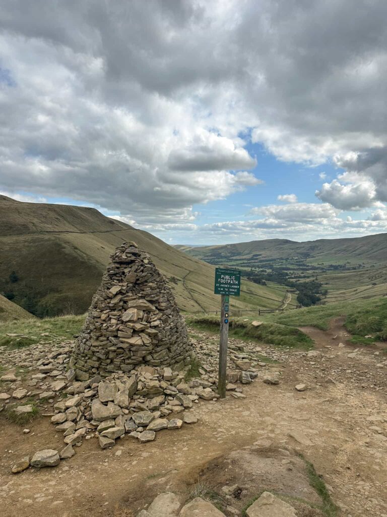
Crossing the River Kinder, we continued along the Pennine Way which heads south-west, passing the top of Red Brook. After about 0.8 miles the path splits, marked by a cairn, and we left the Pennine Way to head to the Kinder Low trig point.
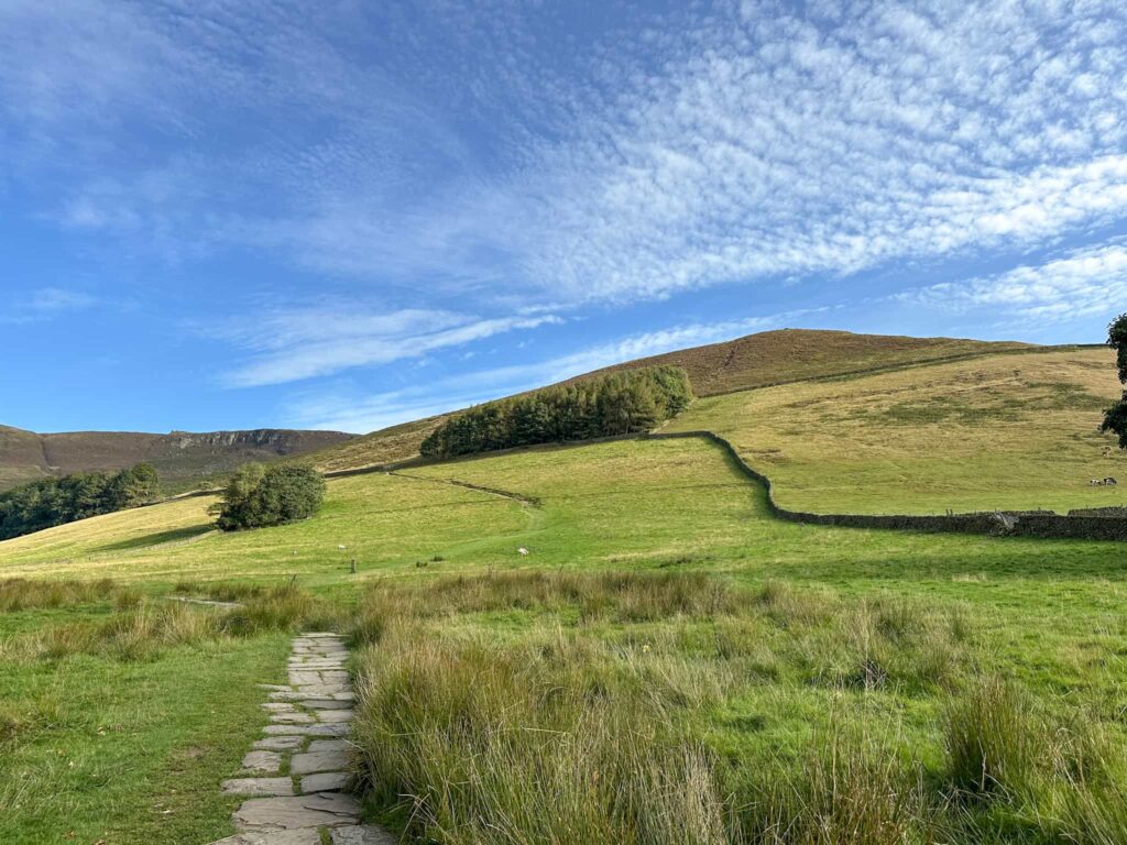
From the trig point we continued south to pass Edale Rocks. When the path forks we took the left hand path and started the descent of Jacob’s Ladder. The right hand fork that runs off over the moors would take you to Brown Knoll, which is another trig point you could add onto this route if you fancied a longer day on the hills (it’s about 0.8 miles/1km away).
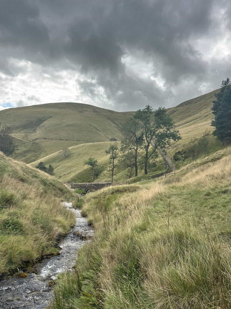
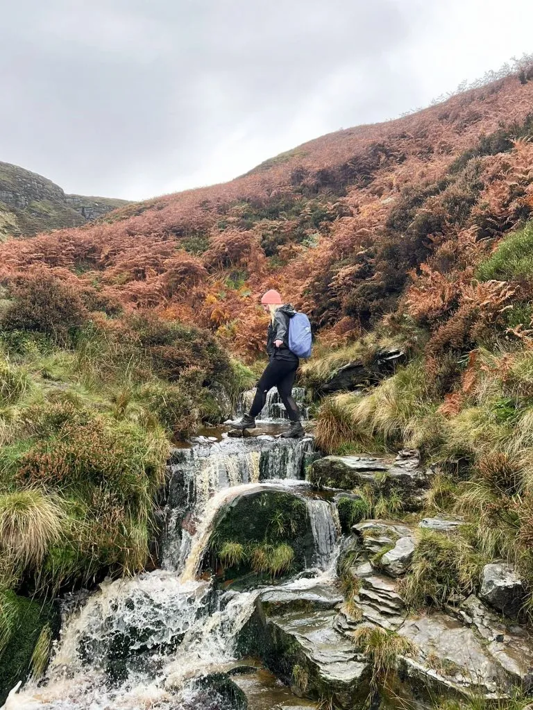
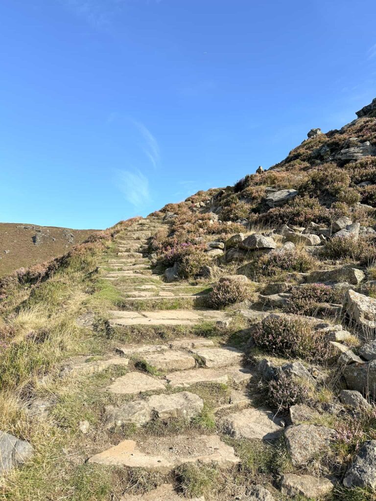
Coming down Jacob’s Ladder is a bit of a knee punisher, but the views are lovely as you descend and the packhorse bridge at the bottom makes a great place to rest. We had a little detour from the bridge to find the waterfall – it’s a short distance upstream from the little waterfall near the bridge. There’s no pool for dipping though.
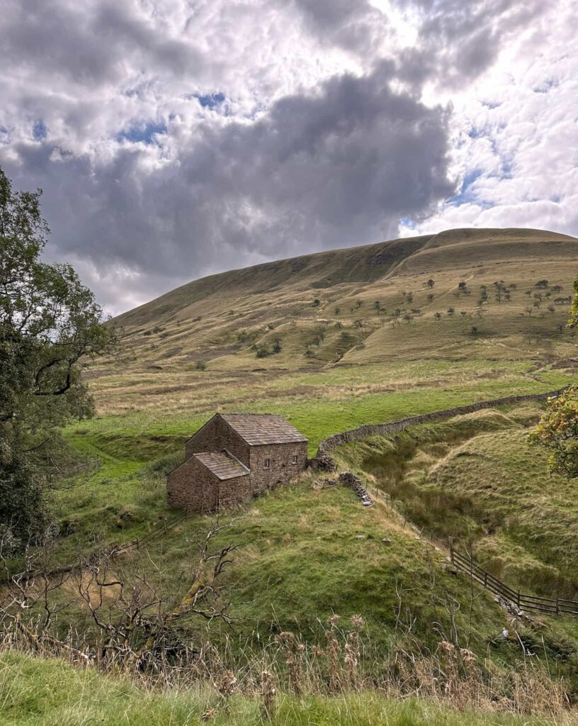
After we’d had a little stop at the waterfall we headed over the bridge and followed the Pennine Way through Lee Farm into Upper Booth. Near the red telephone box we turned left into the farmyard of Upper Booth Farm (and campsite) and followed the path around the bottom of Broadlee Bank Tor before returning to Edale round the back of the campsite to the Old Nags Head for a well deserved drink and a rest. The walk back to the car park is about a third of a mile further.

This was a great walk, and one I’ve had on my to-walk list for a long time. Kinder Scout is always a beautiful place to explore and a day on the hills is a day well spent in my view!
Kinder Scout 3 Trig Point Walk Details:

Walk Route in OS Maps: Kinder Scout 3 Trig Points Walk
Parking: Edale Car Park, Hope Rd, Edale, Hope Valley S33 7ZQ W3W:///kitchen.complains.shelving
Facilities: There are public toilets in the car park. The route also passes the Penny Pot Cafe and The Old Nags Head in Edale. Remember to Leave No Trace.
Walk Time: 6-7 hours
Difficulty: ▲▲▲
Distance: 13.6 miles (21.8km)
Elevation: 2475ft (754m)
Trig Points Bagged: Edale Moor, The Edge and Kinder Low
Peak District Peaks Bagged: None
Peak District Ethels Bagged: Kinder Scout – the maker of the Ethel Ready app has moved the map marker to the trig pillar at Kinder Low which is about half a mile south-west and 3m lower than the true summit, meaning you can visit the trig to bag the Ethel.
You might also like:
Best Kinder Scout Walks | Guides and GPX Files
Jaggers Clough to Kinder Scout | 8 Miles
Edale to the Dragon Rapide on Kinder Scout | 7.5 Miles