• 3 Mile Walks or Less
  • 4 Mile Walks
  • 5 Mile Walks
  • 6 Mile Walks
  • 7 Mile Walks
  • 8 Mile Walks
  • 9 Mile Walks
  • 10 Mile Walks
  • 11 Mile Walks
  • 12 Mile Walks
  • 14 Mile Walks
  • 15 Mile Walks
  • 20+ Mile Walks

The Wandering Wildflower

Peak District Hikes

  • PEAK DISTRICT WALKS
    • SHORT WALKS UNDER 3 MILES
    • MEDIUM WALKS 4-9 MILES
    • LONG PEAK DISTRICT WALKS 10 MILES +
  • PEAK DISTRICT WALKS WITH PUBS
  • PEAK DISTRICT WALKS WITH KIDS
  • HOLMFIRTH WALKS

Mardale Horseshoe | 10 Miles

August 11, 2023 LAKE DISTRICT WALKS

This Mardale Horseshoe walk takes in the Wainwrights of Harter Fell, Mardale Ill Bell, High Street, The Knott, Rampsgill Head, High Raise and Kidsty Pike. Starting in Haweswater, this route is 10 miles long.

View over Haweswater with some purpley blue harebells in the foreground

I’ve called this walk a Mardale Horseshoe but it’s only to give it a snappy title! It’s actually just a hike which is great for Wainwright bagging, ticking off 7 in one go! Starting from Haweswater, this route heads up the Gatescarth Pass to Little Harter Fell (681m) which isn’t a Wainwright, but then onto Harter Fell (779m), Mardale Ill Bell (760m), High Street (828m), The Knott (739m), Rampsgill Head (792m), High Raise (802m) and Kidsty Pike (780m) before descending back down to the car park at Haweswater.


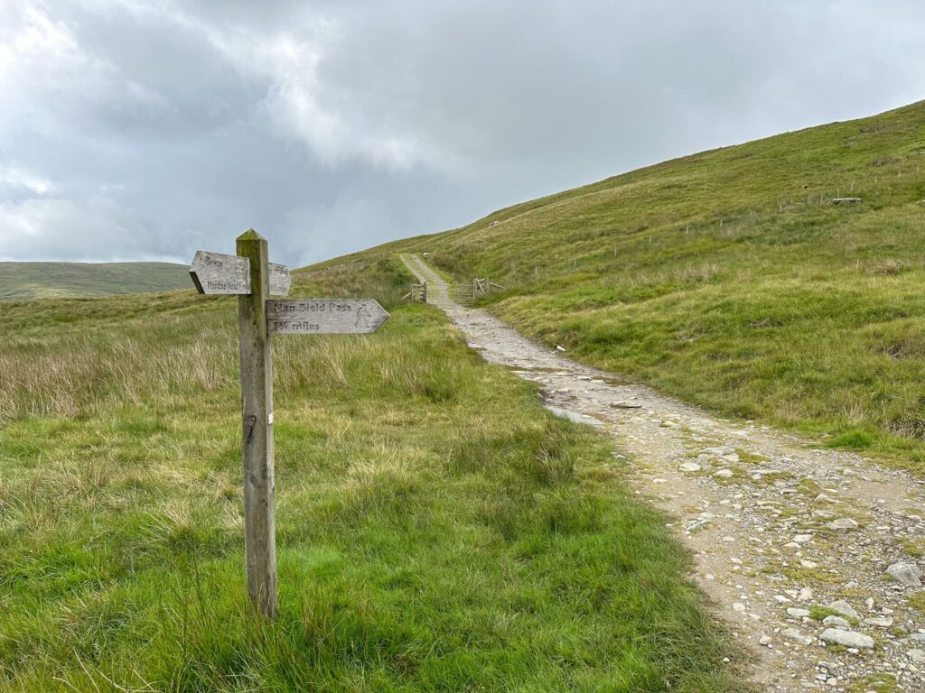
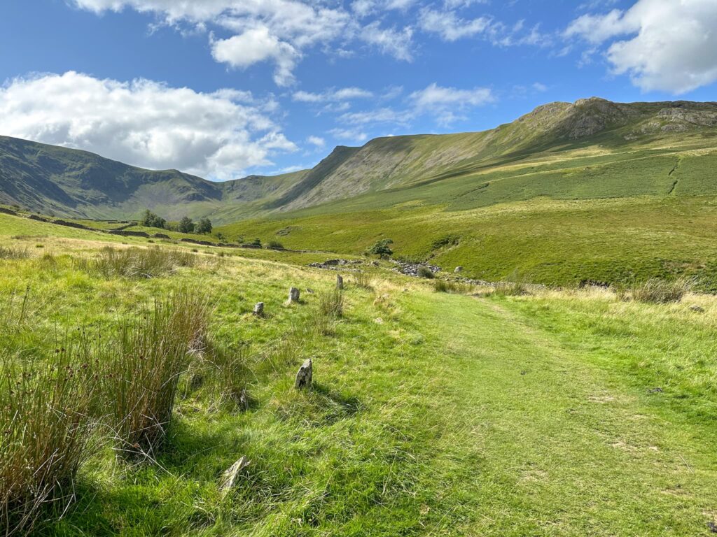
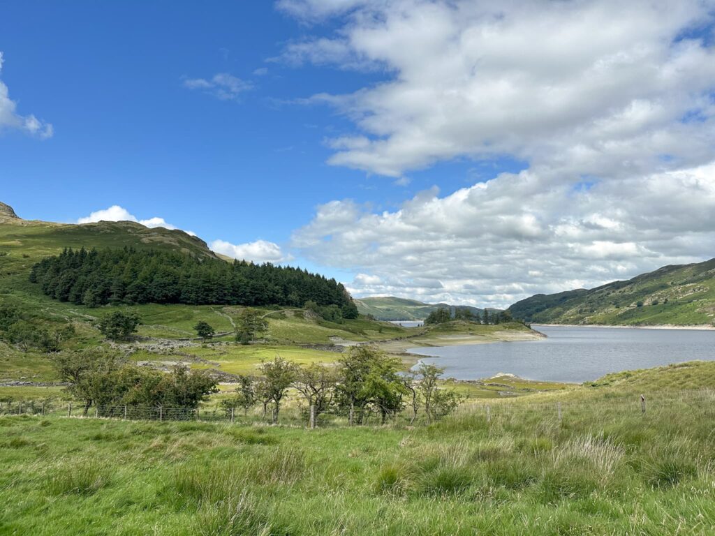
This was the first time we’d explored the area around Haweswater, and it won’t be the last. Haweswater is a reservoir (not a lake or mere) and as such there is no swimming, boating or SUPing allowed, meaning it’s a very tranquil part of the Lake District. We arrived mid morning and found parking easily in Mardale Head car park, and set off up the Gatesgarth Pass. I didn’t press Start on my watch at the right time so the walk on Komoot looks like I’ve just landed midway up the path! The GPX for the route is the full route though.


A rough stony track leading up the hillside


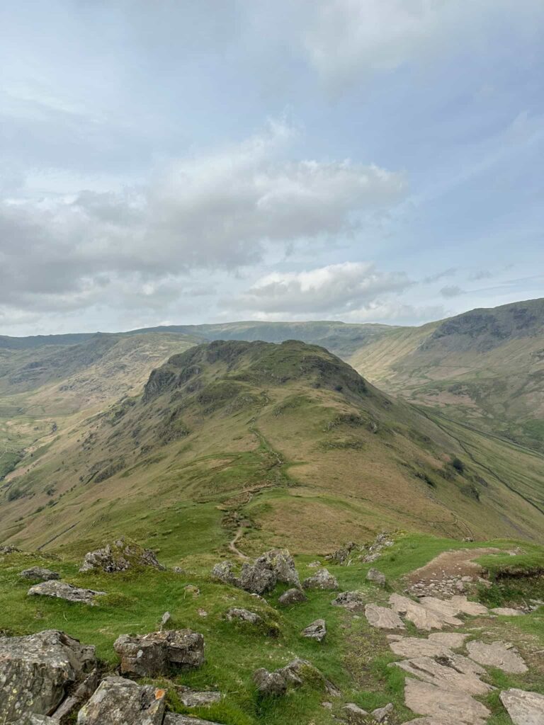
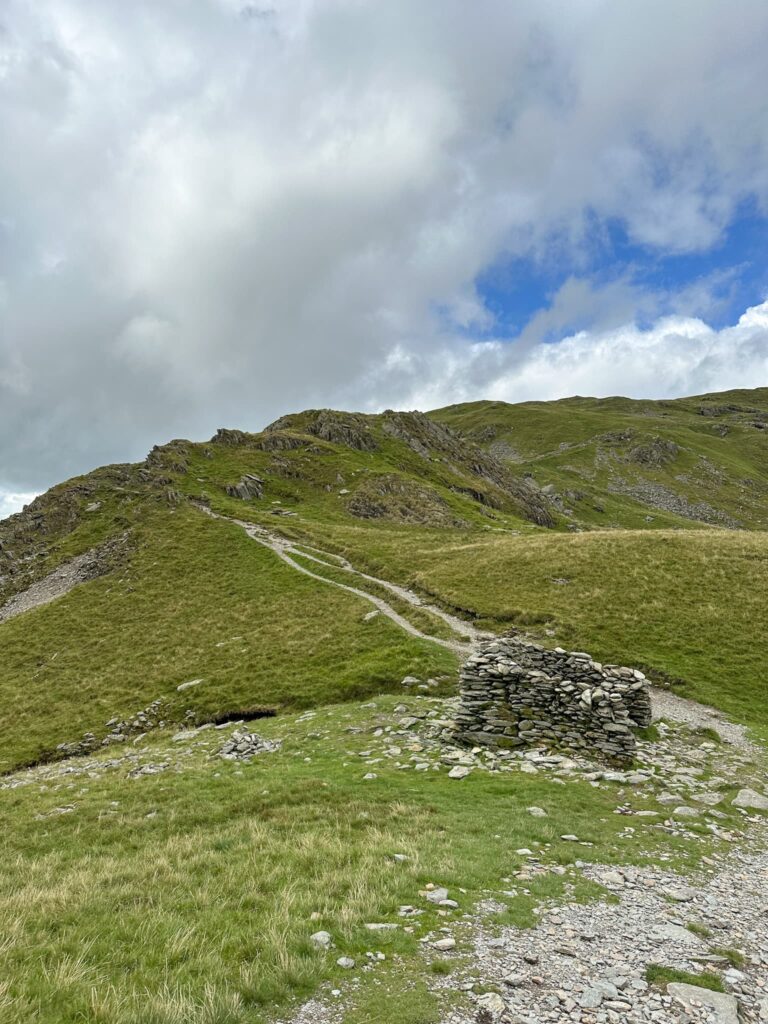
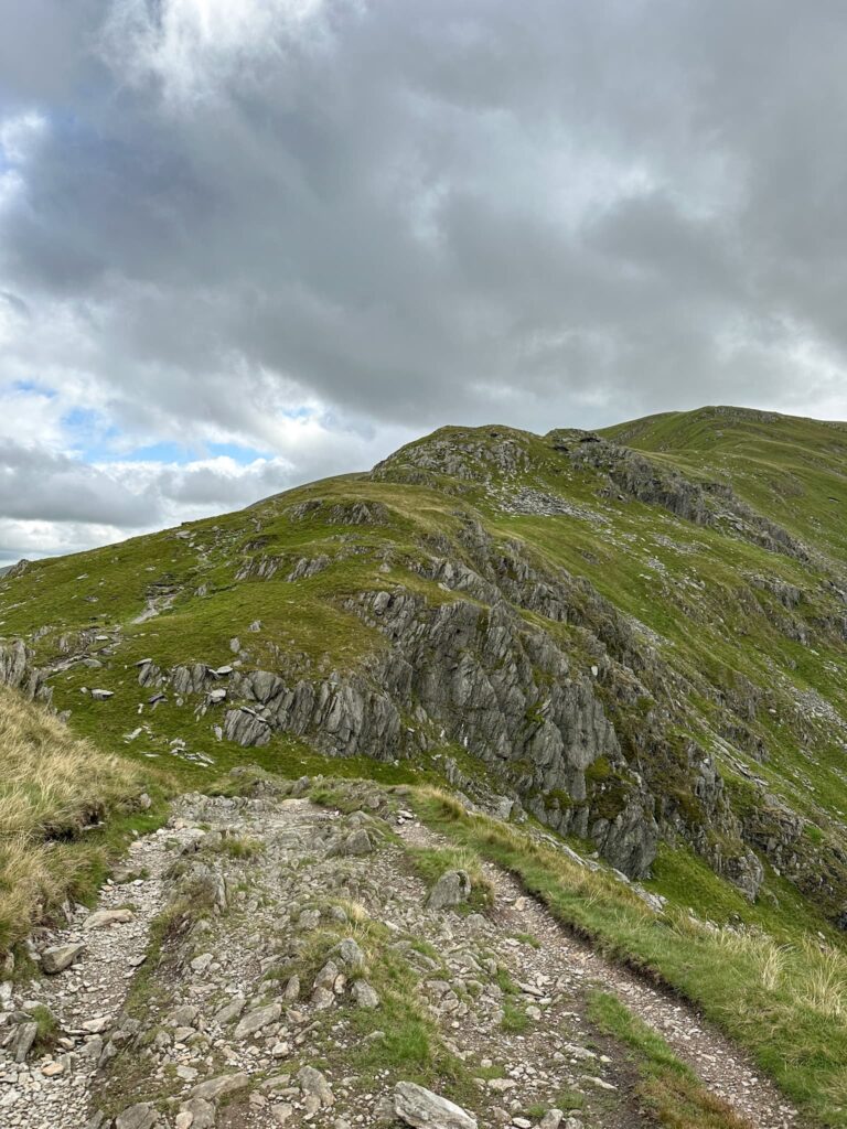
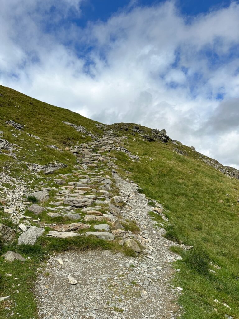
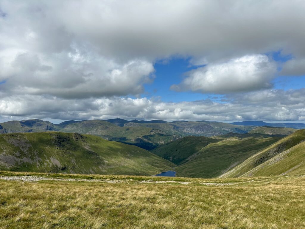
The path winds its way steeply up the side of the Gatesgarth Beck until we reached a col, where we turned north-west in the direction of the Nan Bield Pass. This took us up and over Little Harter Fell, a Birkett of 681m with stunning views over Haweswater. From Little Harter Fell the path climbs up onto the ridge of Harter Fell, marked by a stone cairn, and then drops down sharply towards the Nan Bield Pass. Here there’s a little stone shelter – sadly we were “racing” another family down the hill and the faster members of their group got in the shelter first so I’ve very few pictures – does anyone else race other walkers?!


A wooden signpost in the Lake District

View down over Haweswater

A stone summit cairn at Harter Fell

A father and daughter walking in the mountains

A small stone shelter at the top of Nan Bield Pass


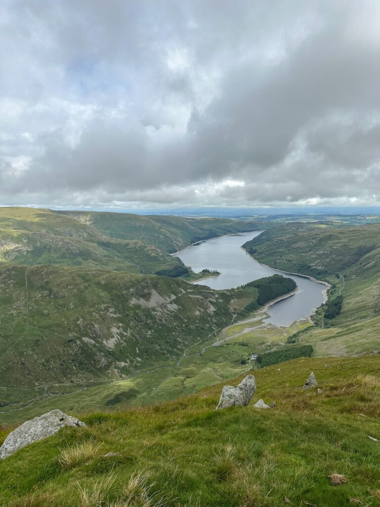
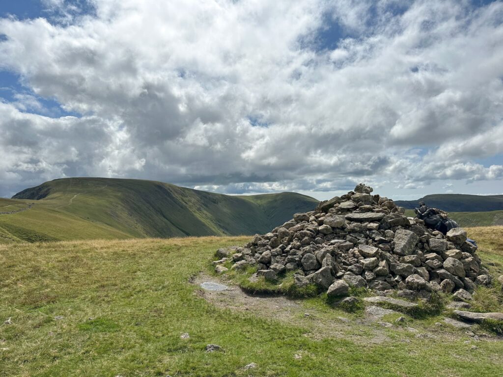
After we’d walked past the shelter we climbed back up to Mardale Ill Bell, again marked by a summit cairn. The views from here over Blea Water are amazing!

A mountain view, with a path leading off

Stone steps up a fell in the Lake District

Mardale Ill Bell summit cairn


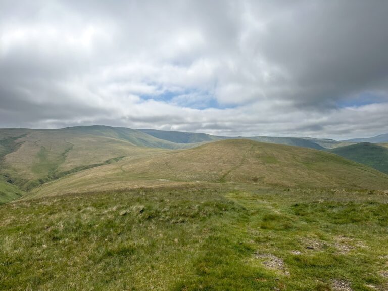
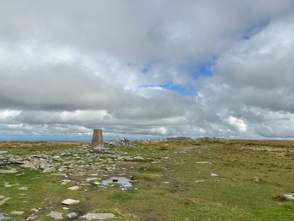
We carried on north-west to where the path joins the old Roman Road running up Racecourse Hill and onto the High Street trig point. High Street, named after the Roman Road running over it’s summit, was used by locals for fairs in the 18th and 19th Century, with the last fair being held in 1835.


High Street trig point


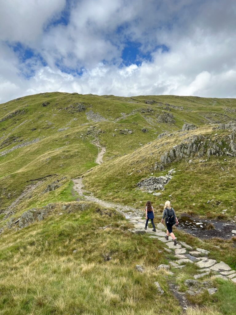
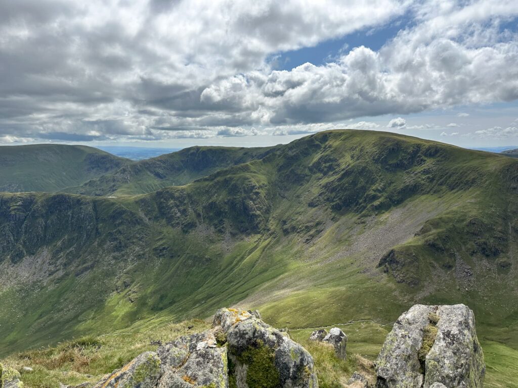
From High Street we set off north down the Straits of Riggindale which has amazing views across to the Helvellyn Range and the Southern Fells on a clear day. We had a quick detour up The Knott summit (I couldn’t take any good photos as someone was cooking food there, and had dumped all their stuff over the summit cairn) and then headed up a steep easterly path towards Rampsgill Head.

A view over the Southern Fells and Helvellyn range from High Street

The Knott summit cairn


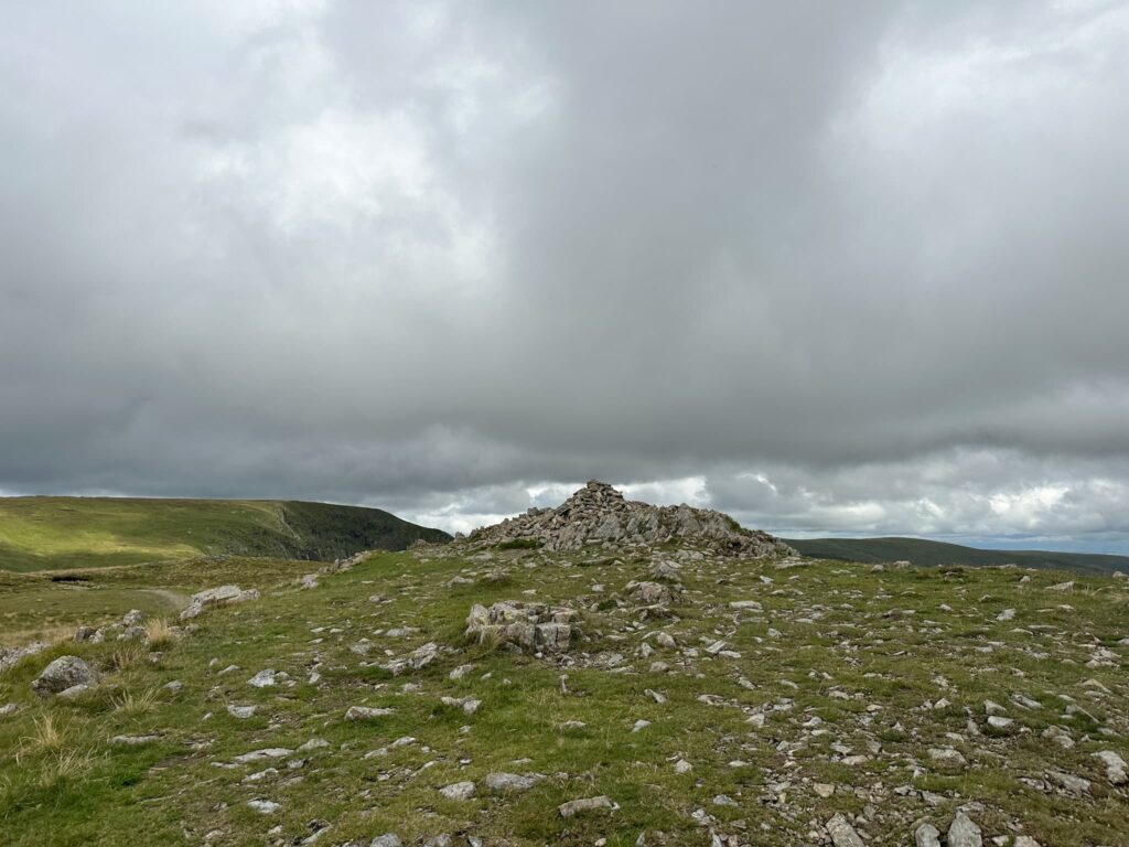
We carried on north up to High Raise, again marked by a cairn but with a low stone shelter, and then turned south towards Kidsty Pike.


View from Kidsty Pike summit


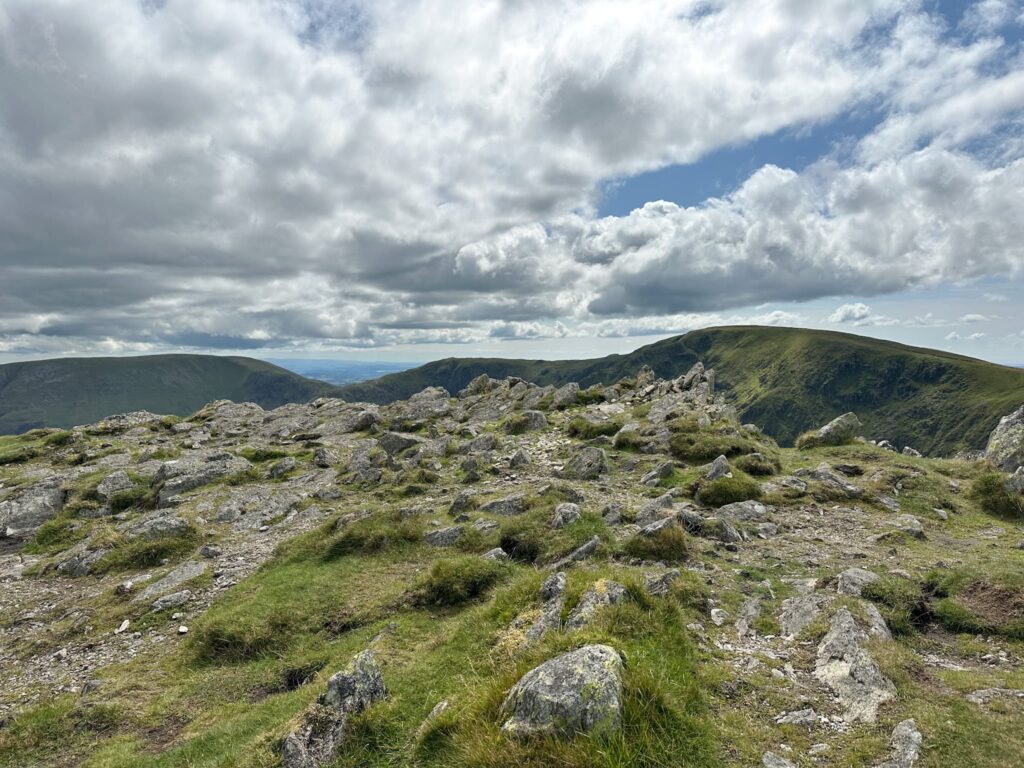
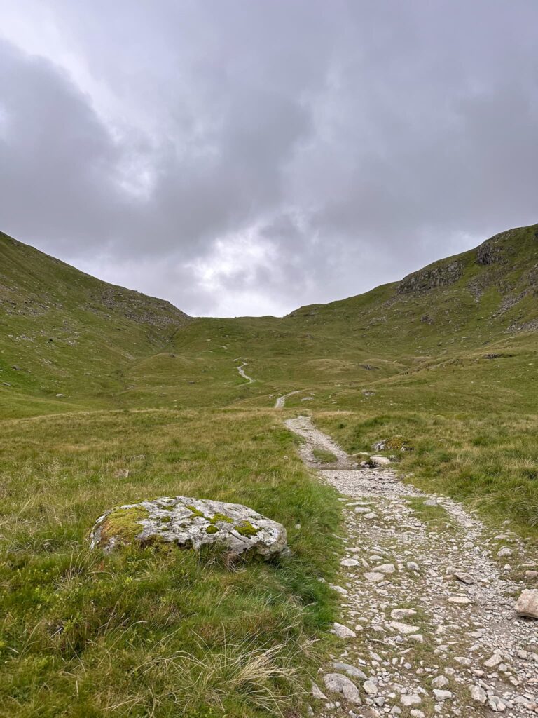
From here the path descends sharply down to the east past Kidsty Howes and then drops down towards Bowderthwaite Bridge. It’s quite scrambly in places!


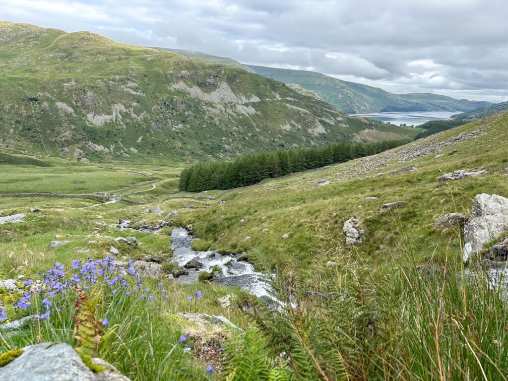
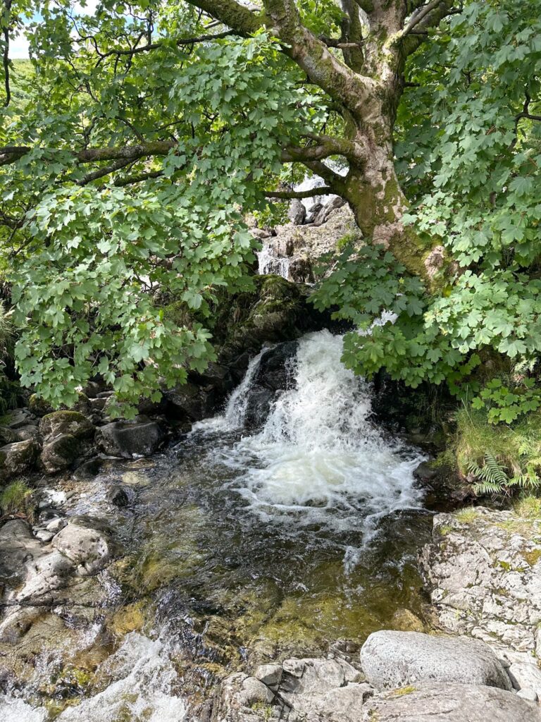
We passed a lovely little stone bridge over Randale Beck, which had a waterfall with a pool deep enough for a dip, and then followed the path around the shores of Haweswater through woodland at the base of The Rigg. We crossed the bridge over Mardale Beck and went through the giant gates, and then headed back to the car park.


This was a great walk and we had unexpectedly good weather. We usually get weather like our Fairfield Horseshoe walk, with zero views and a layer of clag all the way round, so had packed for wet weather but our waterproofs had a grand day out with no use instead. This Mardale Horseshoe is great if you’re Wainwright bagging as it was 7 Wainwrights in quite a short walk, and once you’re up there’s not (too) much extra climbing!


Here’s a list of the Wainwrights by book.


Walk Details:

Walk Map (Opens in OS Maps):  Mardale Horseshoe Walk

Parking: Mardale Head car park, Bampton, Penrith, Cumbria, CA10 2RP  W3W///delight.paler.declines

Facilities: None

Walk Time: 5-6 hours

Difficulty: ▲▲▲

Distance: 9.8 miles (15.77km)

Trig Points Bagged: High Street

Wainwrights Bagged: Harter Fell, Mardale Ill Bell, High Street, The Knott, Rampsgill Head, High Raise and Kidsty Pike

Tap to share with your hiking friends!

  • Facebook
  • Email
  • WhatsApp
« Redmires to Stanage Edge Walk (With Spooky House)
Thor’s Cave Walk | 6.5 Miles »

RELATED POSTS

  • A stile above Rydal HallFairfield Horseshoe Hiking Route | 11 Miles
  • Stickle Tarn with a view of the Jack's Rake scramble up Pavey ArkLangdale Pikes Circular via Jack’s Rake | 8 Miles
  • A view of Binsey, a fell in the Lake District, with a ram in the foreground. The ram is lying down.Bassenthwaite Weekend Trip
  • A view over to Lowthwaite Fell from Longlands FellUldale Fells Circular | 8 Miles

Leave a Reply Cancel reply

Your email address will not be published. Required fields are marked *

FIND YOUR NEXT WALK:

ABOUT ME

Y Garn with Kids - Y Garn via the Devil's Kitchen Walk in Ogwen Valley

Hello! I’m Jo! Welcome to The Wandering Wildflower, an outdoors lifestyle blog focusing on family walks in the Peak District, a place we love exploring. I want to share the Peak District hidden gems and show you there’s so much more than the honeypot places. When I’m not dragging my husband and now 11 year old out on Peak District walks or up mountains, I can be found on planning my next moorland walk or plotting a Geocache walk (and seeing where the nearest pub is!). I love the hills but hate the heights, so trig bagging is – er- fun!


I hope this blog will give you some ideas of places to visit in the Peak District and inspire you and your family to head into the great outdoors.  Thanks for stopping by!

CATEGORIES

  • CIRCULAR WALKS (189)
  • HOLMFIRTH WALKS (27)
  • ISLE OF SKYE WALKS (3)
  • LAKE DISTRICT WALKS (26)
  • LANCASHIRE WALKS (2)
  • LONG PEAK DISTRICT WALKS 10 MILES + (42)
  • MEDIUM WALKS 4-9 MILES (137)
  • PEAK DISTRICT SCRAMBLES (16)
  • PEAK DISTRICT WALKS (206)
  • PEAK DISTRICT WALKS WITH KIDS (76)
  • PEAK DISTRICT WALKS WITH PUBS (60)
  • SCOTLAND WALKS (6)
  • SHORT WALKS UNDER 3 MILES (40)
  • SNOWDONIA WALKS (5)
  • UK CAMPING (5)
  • YORKSHIRE WALKS (33)

Peak District Walks

List of Peak District Ethels

Peak District Peak Bagging

Peak District Trig Point Challenge

Peak District Walks with Pubs

Peak District Walks with Kids

Beautiful Walks in Holmfirth

Short Walks in the Peak District

Long Walks in the Peak District

AFFILIATE DISCLOSURE

This blog may contain affiliate links through which, at no additional cost to you, I may earn a small commission. I only recommend products I would use myself and all opinions expressed here are my own. As an Amazon Associate I earn from qualifying purchases. Read full privacy policy here.

ARCHIVES

PEAK DISTRICT WEATHER

Peak District mountain weather on Met Office

Peak District Trig Points

Promo image for a blog post about the Peak District Trig Point Challenge With Map of Peak District Trig Points and Walking Routes by The Wandering Wildflower

Peak District Ethels Challenge

Promo image for a blog post about the Peak District Trig Point Challenge With Map of Peak District Ethels and Walking Routes by The Wandering Wildflower

WALKING ROUTES STRAIGHT TO YOUR INBOX

Want new walks in your inbox? Drop your email below and I'll send you some ideas for walks you can try.

You can unsubscribe anytime. For more details, review our Privacy Policy.

Thank you!

You have successfully joined our subscriber list.

RSS LATEST POSTS

  • How to Find Three Shires Head
  • Peak District Pub Walks
  • Burnbank Fell, Blake Fell and Gavel Fell | 8 Miles
  • Bretton Park Circular Walk | 3 Miles
  • Grasmere Weekend Break

FOLLOW ON PINTEREST

Want new walks in your inbox? Drop your email below and I'll send you some ideas for walks you can try.

You can unsubscribe anytime. For more details, review our Privacy Policy.

Thank you!

You have successfully joined our subscriber list.

jo@thewanderingwildflower.co.uk

The Wandering Wildflower

  • Email
  • Facebook
  • Instagram
  • Pinterest
  • PRIVACY POLICY
  • TERMS & CONDITIONS
  • ABOUT

(c) The Wandering Wildflower. All Rights Reserved.

|| THEME BY ECLAIR DESIGNS