Rannerdale Knotts [and the Bluebells] | 4 Miles
Rannerdale Knotts might be one of the smaller Wainwrights but is definitely worth a visit, especially when the famous Rannerdale bluebells are in full bloom. This walk explores the bluebell valley and climbs to the summit to enjoy the views.
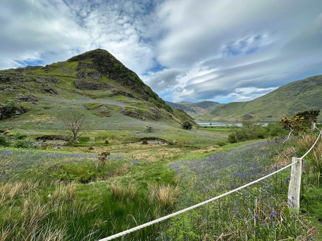
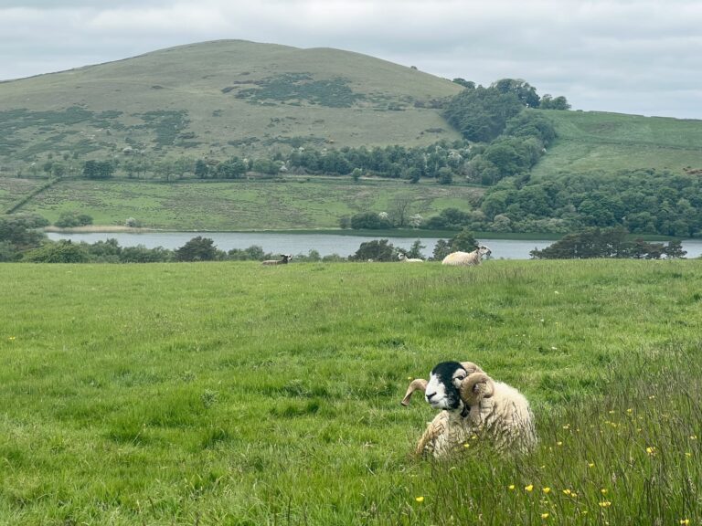
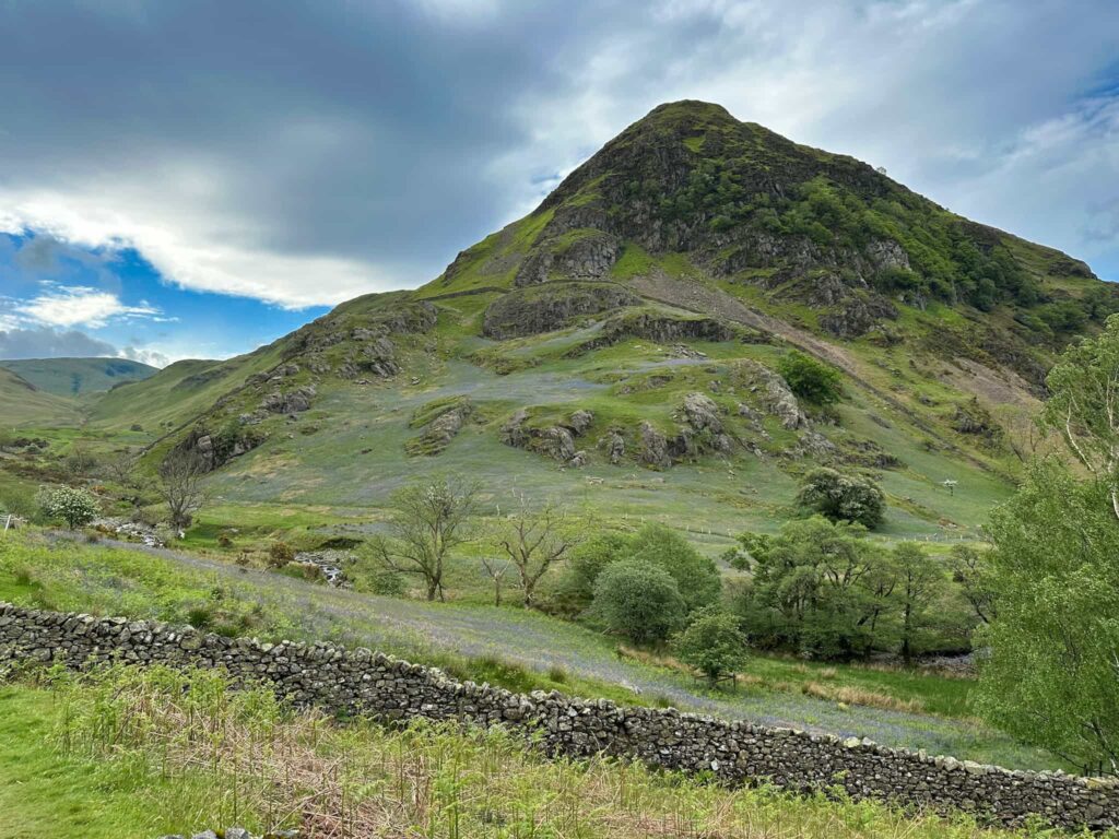
Rannerdale Knotts is a small but prominent fell at 355m above sea level in the North-Western Fells which stands above the eastern shore of Crummock Water and has spectacular views down over Buttermere.
Rannerdale Bluebells
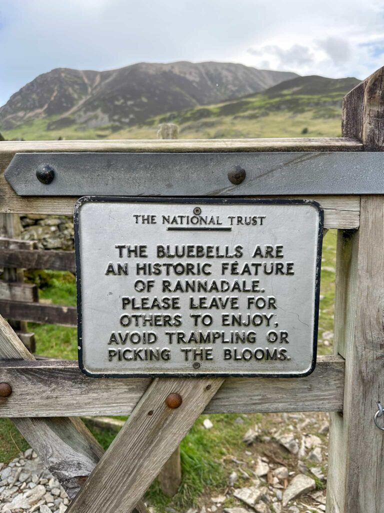
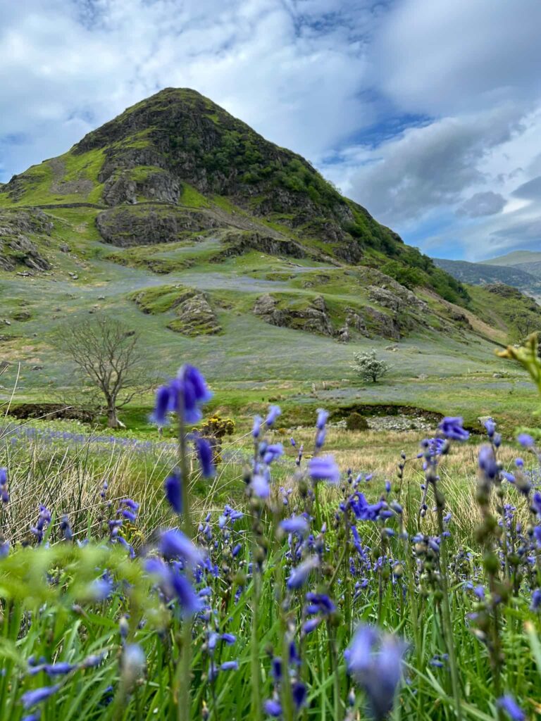
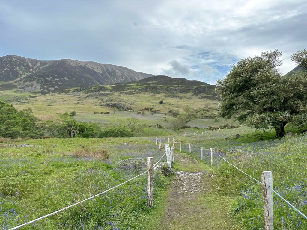
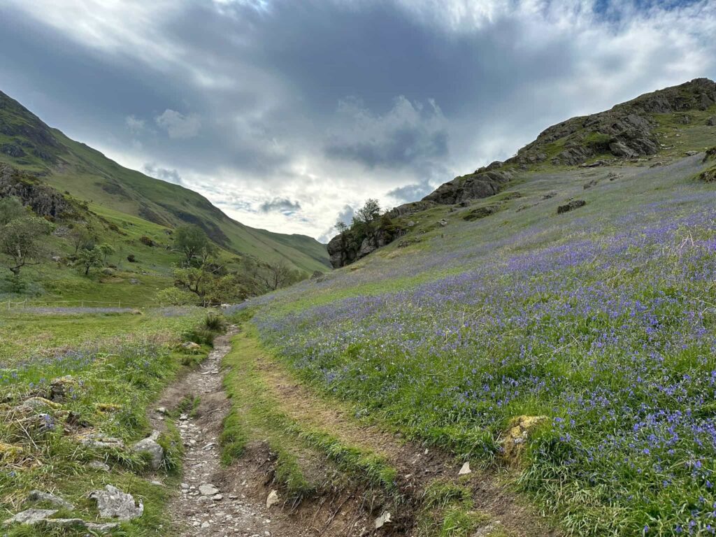
Rannerdale Knotts is said to be the site of a battle between the native Cumbrians and Norsemen who were resisting the invading Normans in the late 11th or early 12th Century. According to local legend, the bluebells are said to have sprung from the spilt blood of the slain Norman warriors. Whether this is true or not, the display of bluebells is spectacular when they’re in full bloom (late April to early May). These beautiful wild flowers are protected under the Wildlife and Countryside Act of 1981 meaning picking the flowers or digging up the plant or bulb is prohibited. Bluebell colonies take years to establish (around 5-7 years to get from seed to a flower) and they take years to recover after being trampled. The bluebells at Rannerdale are cordoned off to protect them.
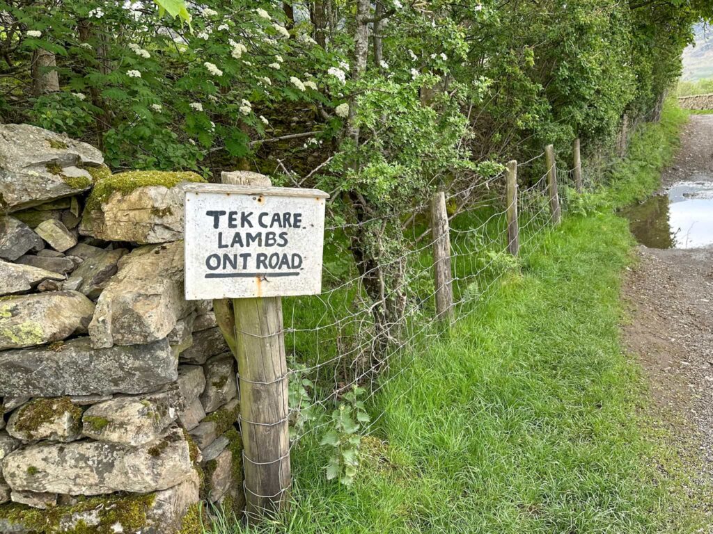
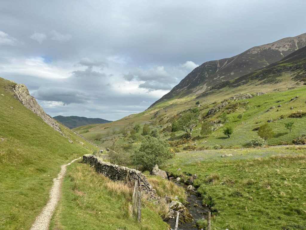
Our walk started from a small car park just off the B5289, leading into Buttermere and beyond to the Honister Pass. There are three small car parks at the base of Rannerdale Knotts but these fill up really quickly so get there early. We went on a Wednesday morning during term time and even arriving at 9am the car parks were pretty full. There is further parking in Buttermere village. We followed the stream up the hillside to join a track running south-east, then went through the gate into the area containing the bluebells.
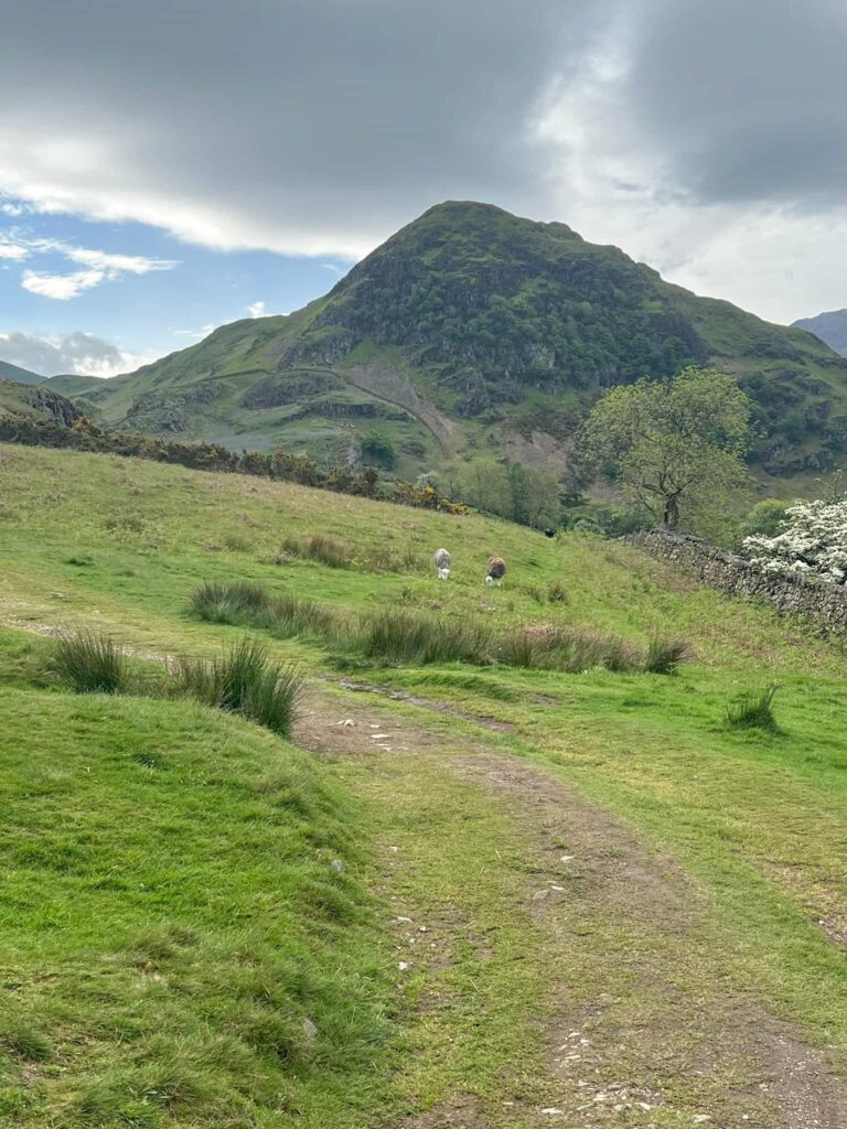
The path winds through the bluebells, and gives stunning views over to Rannerdale Knotts itself.
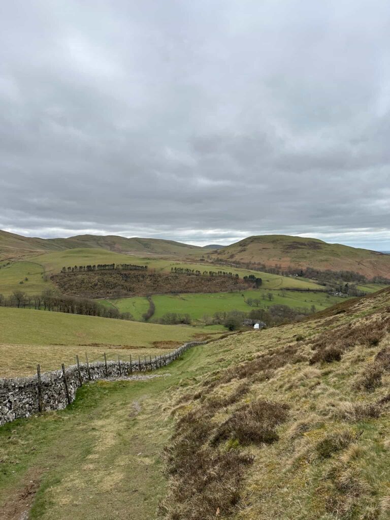
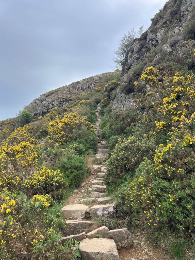
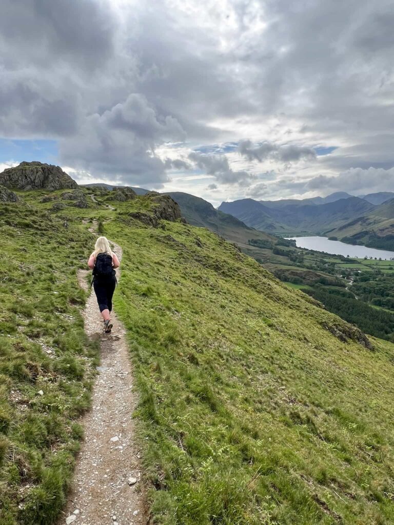
We came to a wooden bridge over the stream where there is a gate – we didn’t go through the gate but carried on the path beside Squat Beck, passing around Dale How and leading to another small car park. We turned left out of the car park to reach the public footpath leading up from Hause Point. This starts out as stone steps and switchbacks its way up the steep hillside. It’s easy to follow.
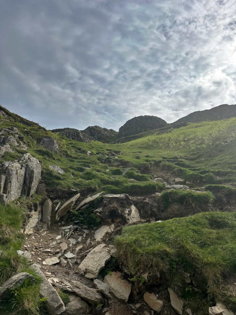
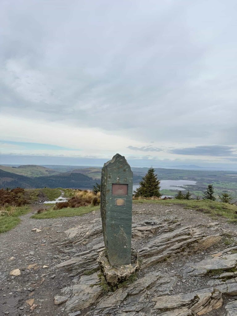
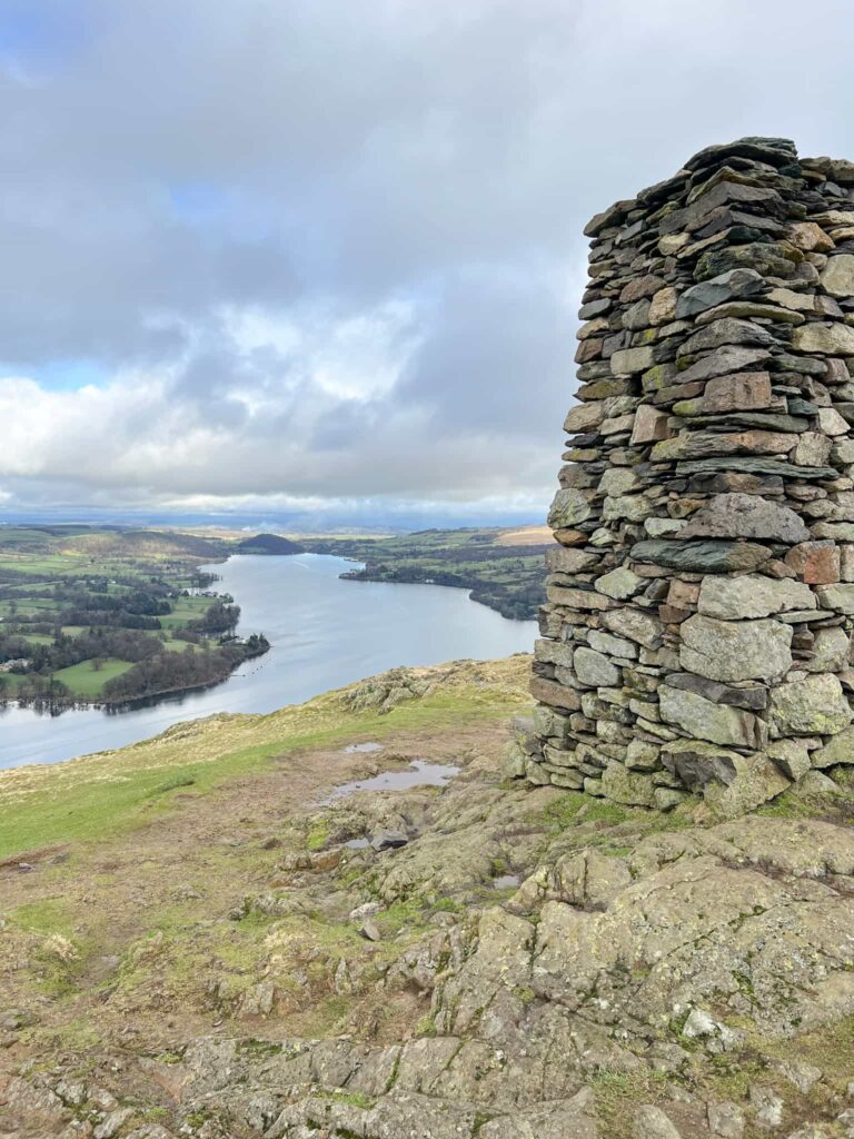
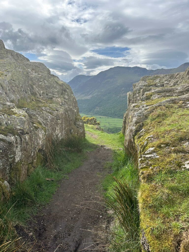
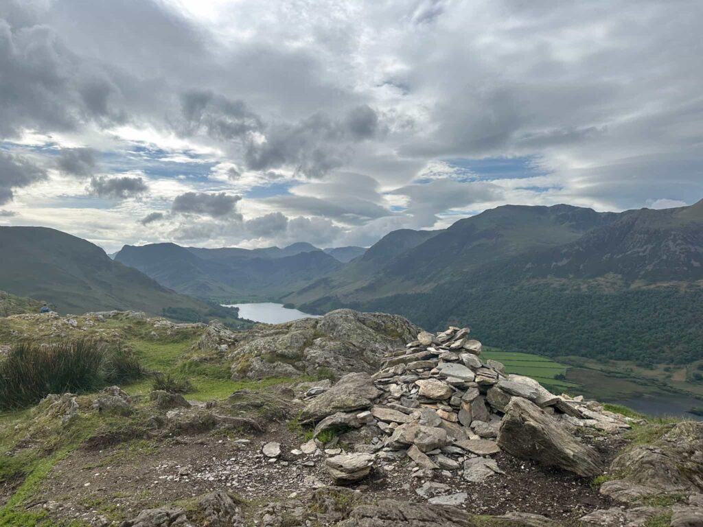
Near the summit the path passes through a gap in the rocks and then turns left – it looks like it’s dropping off the edge of the fell but winds back on itself to reach the summit, marked by a small cairn. The views from here over Crummock Water and Buttermere are stunning, with Great Gable just visible.
We carried on over the summit, down the small scramble section onto Low Banks, a grass topped wide ridge which runs back down towards the valley. After about 0.6 miles (995m) the path splits and we took the left hand fork heading down the valley, following Squat Beck.
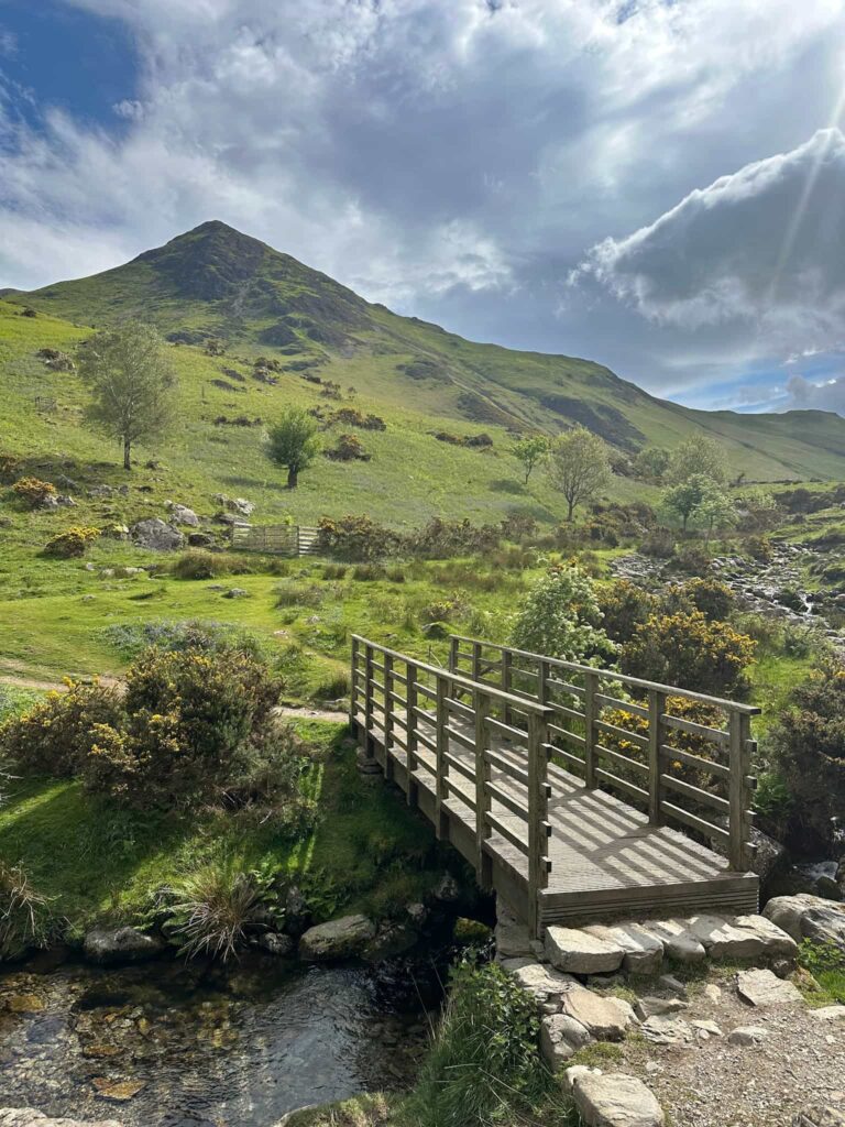
The path reaches the gate we didn’t go through before, but this time we passed through the gate and back over the footbridge and retraced our steps back to the car park.
This was a beautiful walk on a sunny day, and if you didn’t want to climb up Rannerdale Knotts you could just wander around through the bluebells.
Rannerdale Knotts Walk Details:

Walk Map (Opens in OS Maps): Rannerdale Knotts Walk
Parking: B5289, Cockermouth CA13 9UY | W3W:///they.penned.slugs
Facilities: None
Walk Time: 2-3 hours
Difficulty: ▲▲
Distance: 4 miles (6km)
Trig Points Bagged: None
Wainwrights Bagged: Rannerdale Knotts
For more Wainwright walks you might like:
The Wythop and Lorton Fells | 12 Miles
Dodd Fell Summit Trail | 4 Miles
Walks in the Lake District: Binsey | 1.5 Miles
Dash Falls and Skiddaw Walk | 10 Miles
and check out the list of the Wainwrights by book for a specific fell and walk to bag it.