Souther Fell, Mungrisdale Common, Bannerdale Crags and Bowscale Pike | 11 Miles
This beautiful walk will take you high onto the fells above Mungrisdale. The route starts at Mungrisdale with a steep climb to Souther Fell, before crossing Scales Beck and out and back to Mungrisdale Common. It then heads up to Bannerdale Crags, and then climbs to the highest point along this 11 mile route, Bowscale Fell.

Mungrisdale Common has a bit of a reputation – it was Alfred Wainwright’s least favourite fell, saying “there is nothing at all to encourage a visit”. It’s somewhere that most people only want to go once, and somewhere probably only people bagging Wainwrights would go. It’s boggy underfoot, there’s not much going on and it’s more of a field than a fell! It is however surrounded by “proper” fells, being near Blencathra, Souther Fell, Bannerdale Crags and Bowscale Pike.
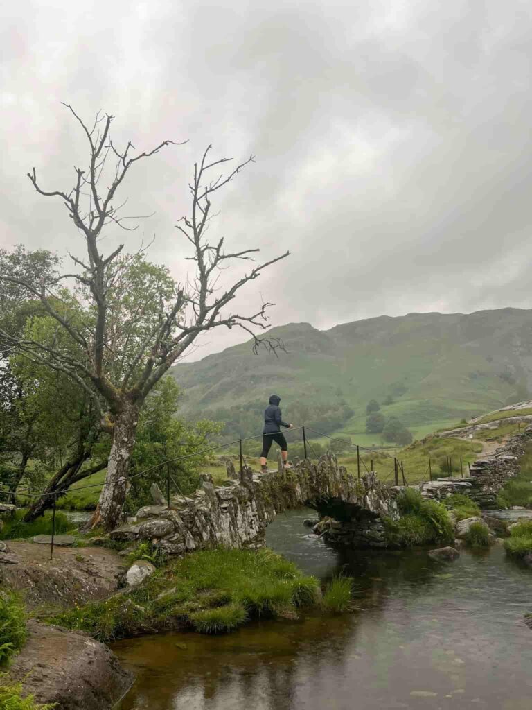
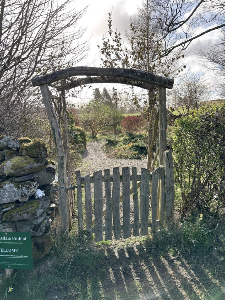
The route starts from a lay-by next to the old red phone box in the pretty village of Mungrisdale. We turned right and walked down the road a short distance, taking the right hand fork to pass the Mill Inn. We followed the road, passing the Mungrisdale Pinfold Garden, until a gate in the road. Passing through the gate onto the Open Access Land, we started the steep climb up Souther Fell. Once at the top we turned right to head to the summit proper, marked by a stone on a rocky outcrop.


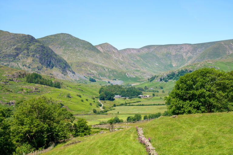
Retracing our steps we set off back along the plateau, detouring to a small cairn with big views over the River Glenderamackin and White Horse Bent. We followed the path as it descended into the valley. The path then runs above the river, crossing Scales Beck and climbing steadily up to the head of the valley. It’s worth a stop here to catch the view back down the valley, which is pretty spectacular.


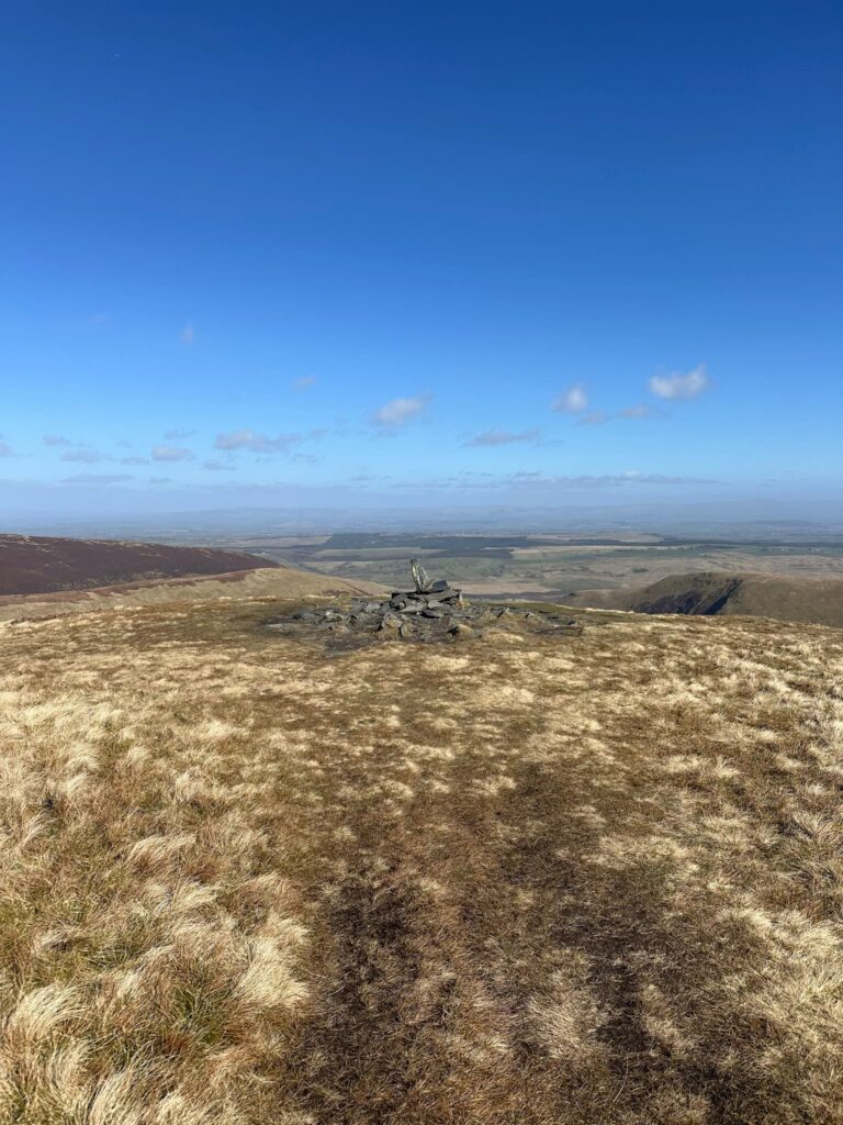
From here, it’s a 2 mile there and back to the dreaded Mungrisdale Common. This is likely to be wet underfoot, so make sure your footwear is waterproof! There is a faint footpath to follow to the cairn, which isn’t actually at the summit – the proper summit is a short distance to the east but isn’t marked by anything, so feel free to claim it if you visit the cairn. You’ll have earned it! Purists may want to check their GPS to reach the exact spot height location.

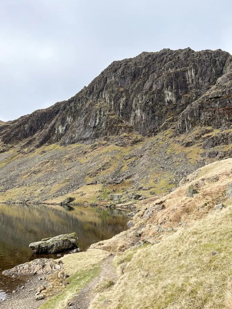
We then returned through the boggy wasteland to the head of the valley and turned left to climb up for around half a mile to the summit of Bannerdale Crags, which is marked by a cairn and enjoys stunning views down over Bannerdale Beck.


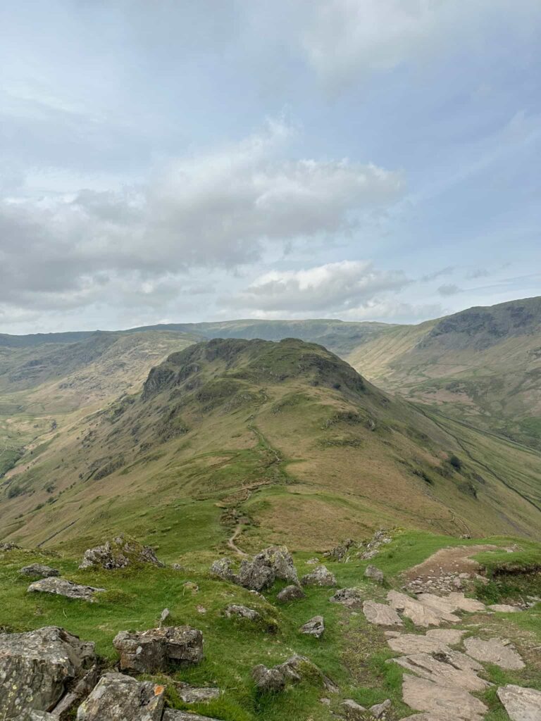
The route follows the ridge north-west before climbing again up to Bowscale Fell, the highest point on the hike. We walked along Bowscale Fell for around a mile, headed east to Raven Crags, before the very steep descent back down to Mungrisdale. Over the stile and back on the road, we followed this south back to the car.


Of course we had a post-hike drink and meal in the Mill Inn!

Where to Park in Mungrisdale:
Mungrisdale is a very small village which doesn’t have large car parks. There are a few small lay-bys to park in Mungrisdale, as well as the car park at the village hall.
W3W:///screening.premature.noodle – phone box layby
W3W:///sped.pizzas.slacker – Village Hall car park – postcode CA11 0XR
W3W:///gangs.slang.confetti – Layby before Village Hall car park