• 3 Mile Walks or Less
  • 4 Mile Walks
  • 5 Mile Walks
  • 6 Mile Walks
  • 7 Mile Walks
  • 8 Mile Walks
  • 9 Mile Walks
  • 10 Mile Walks
  • 11 Mile Walks
  • 12 Mile Walks
  • 14 Mile Walks
  • 15 Mile Walks
  • 20+ Mile Walks

The Wandering Wildflower

Peak District Hikes

  • PEAK DISTRICT WALKS
    • SHORT WALKS UNDER 3 MILES
    • MEDIUM WALKS 4-9 MILES
    • LONG PEAK DISTRICT WALKS 10 MILES +
  • PEAK DISTRICT WALKS WITH PUBS
  • PEAK DISTRICT WALKS WITH KIDS
  • HOLMFIRTH WALKS

Helm Crag, Gibson Knott, Calf Crag and Steel Fell | 7 Miles

May 18, 2024 LAKE DISTRICT WALKS

Looking to explore the Central Fells around Grasmere? This Greenburn Round walk includes 4 Wainwright summits of Helm Crag, Gibson Knott, Calf Crag and Steel Fell and at 7 miles is a great day out on the hills.

A view of Helm Crag

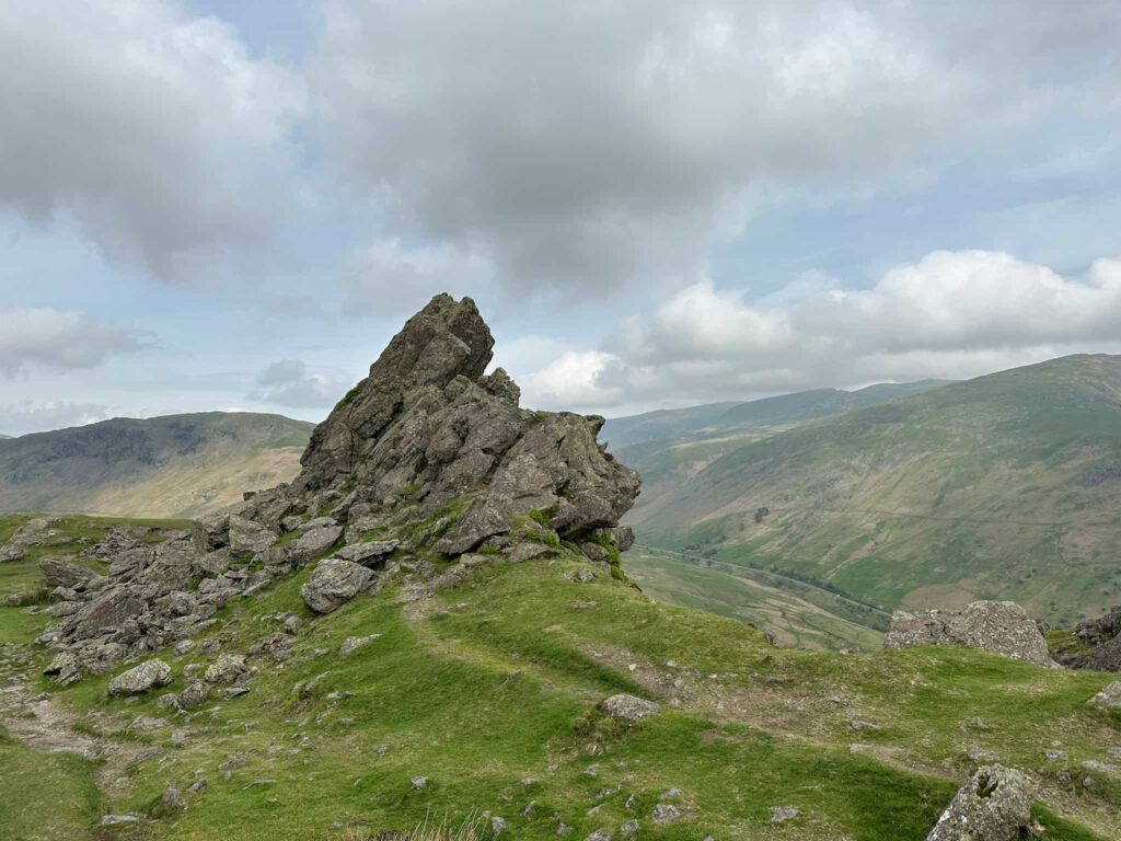
Helm Crag is a fell to the north of Grasmere at 405m above sea level. Alfred Wainwright wrote “The virtues of Helm Crag have not been lauded enough. It gives an exhilarating little climb, a brief essay in real mountaineering, and, in a region where all is beautiful, it makes a notable contribution to the natural charms and attractions of Grasmere.” Its most famous features are the two prominent rocks at the summit, the Lion and the Lamb, the north-western one of which is the true summit. Sometimes known as the Howitzer, this cannon shaped rocky outcrop requires actual climbing up – Wainwright himself never climbed up onto it, and neither did we as it was very windy and it’s a long way down!


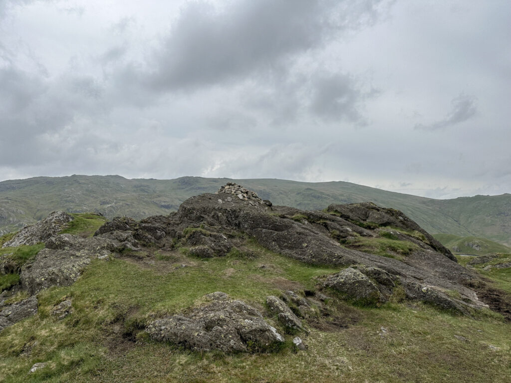
Gibson Knott is one of the summits visited en route to Calf Crag from Helm Crag and stands 422m above sea level. There is some debate about it’s exact summit location but there is a cairn so we used that.


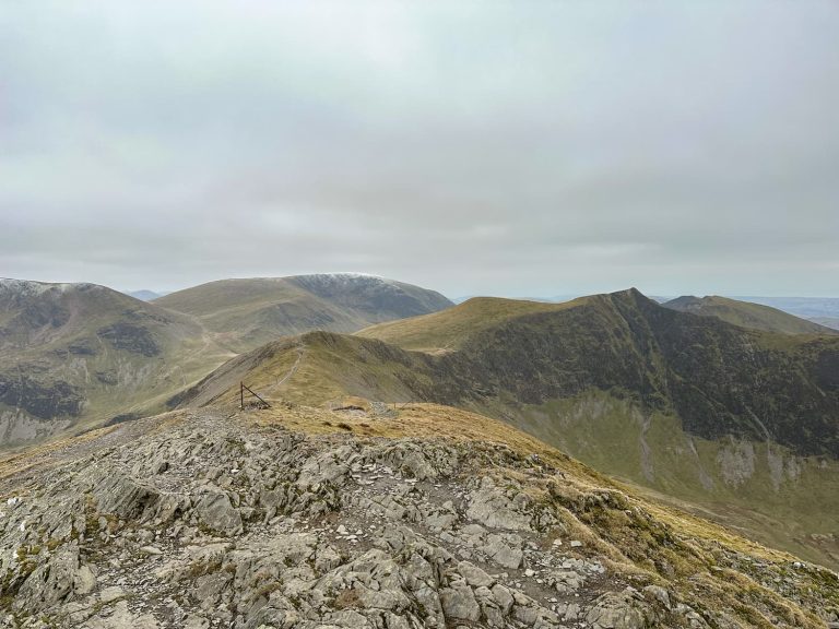
Calf Crag is the next summit of the Greenburn Round at 537m and is marked by a stone cairn. There are views over to Sargeant Man and High Raise from here.


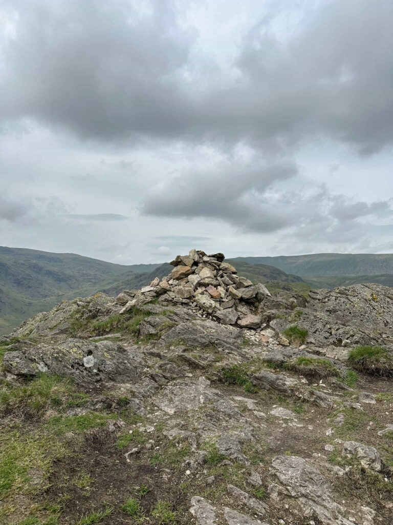
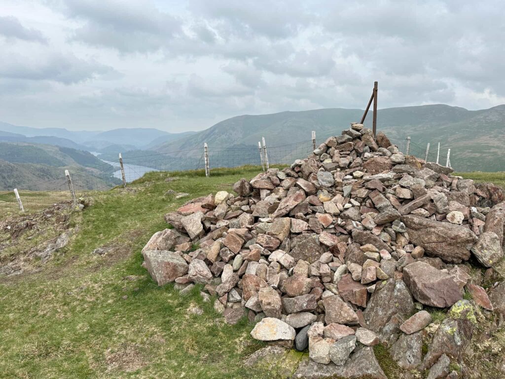
Steel Fell is the high point of the walk at 553m and is a triangular shaped, plateau topped fell with many small tarns and pools. The summit is known as Dead Pike and has a stone cairn as a summit marker.


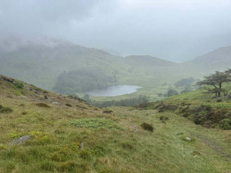
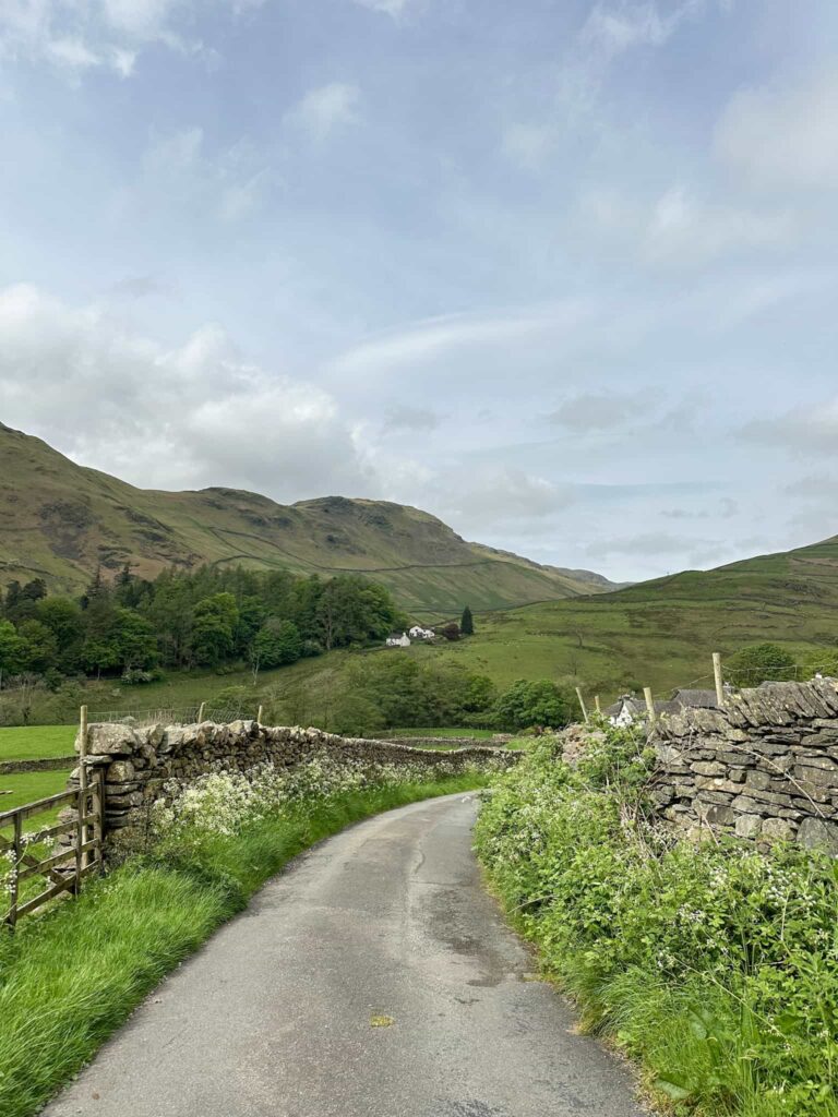
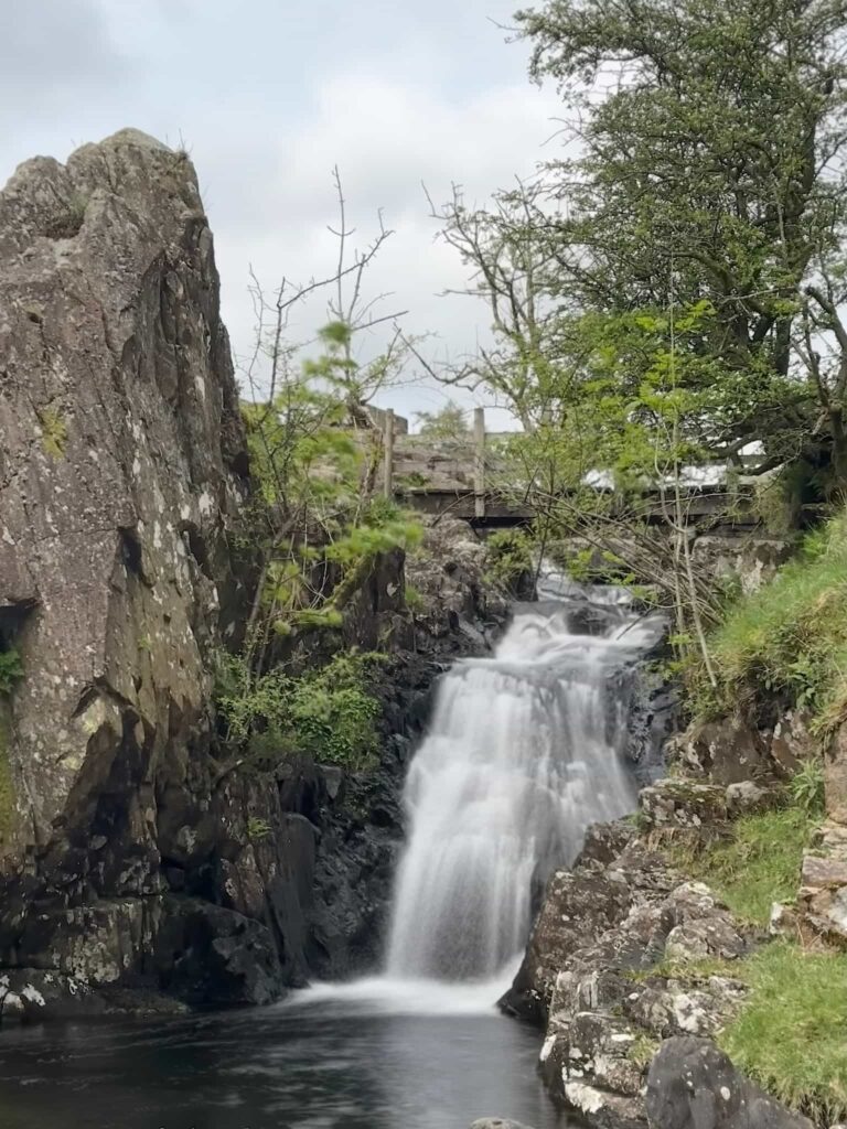
Our walk starts from a lay-by on the Pass of Dunmail Raise. We crossed the road and headed down through a farmyard, passing a cottage with the date 1688 on the front. The lane winds down to the river and over the bridge, and then at Ghyll Foot we started climbing up the hill, passing more cottages along the way. The lane finishes at a wooden gate leading to the Green Burn valley, complete with beautiful waterfall and picturesque bridge.

A winding country lane with wildflowers on either side of the track

A long exposure shot of a small waterfall


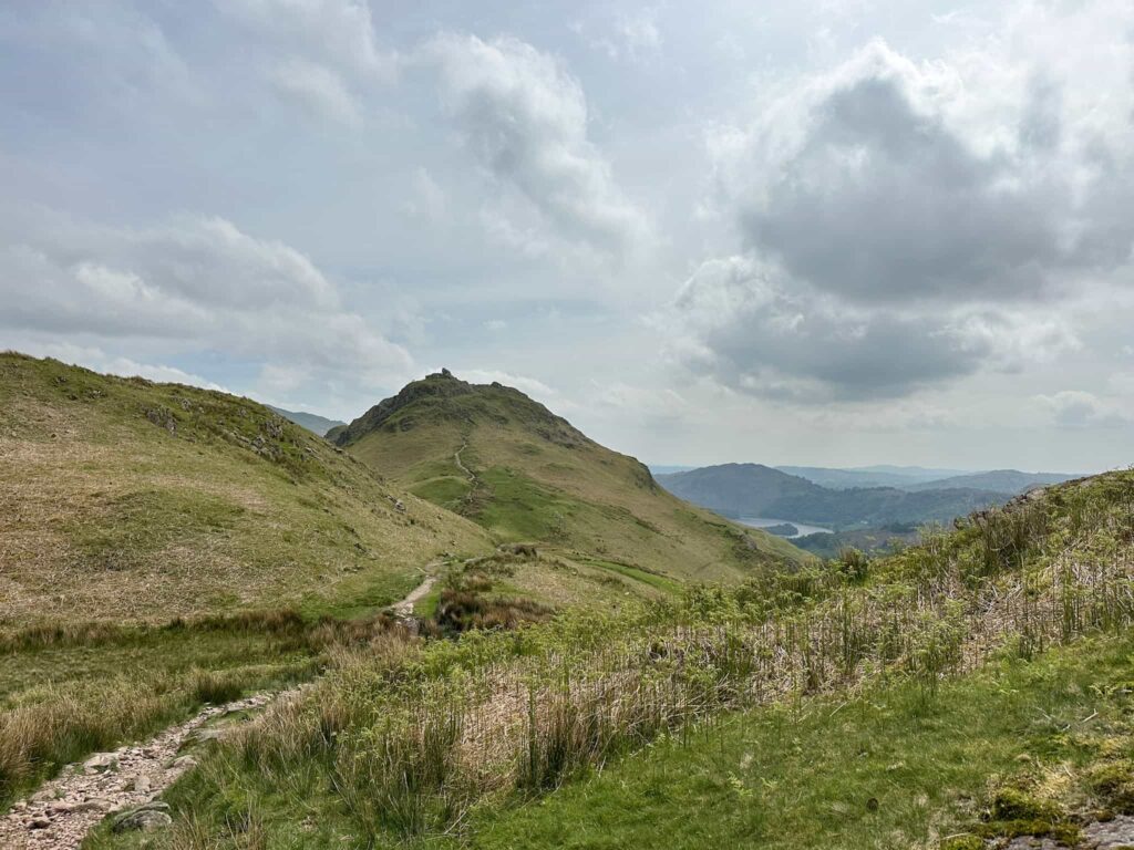
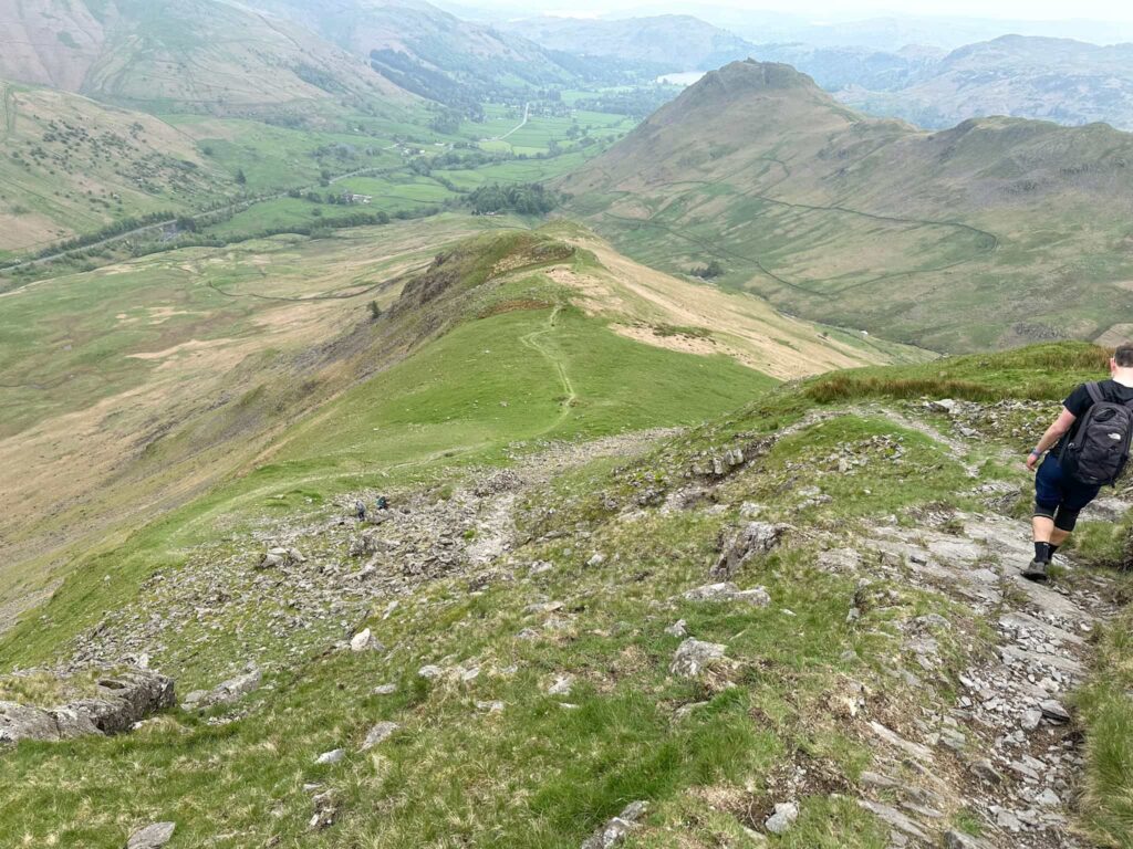
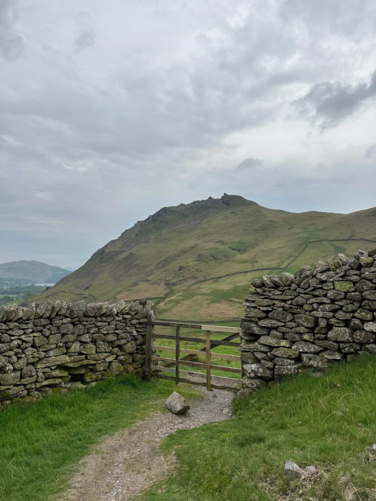
The path heads up the flank of Helm Crag via a series of switchbacks up through Bracken Hause before reaching the ridge path between Helm Crag and Gibson Knott. We turned left to climb up to the summit of Helm Crag, touched the Howitzer and then enjoyed our lunch watching the fighter jets flying through the valley following the Dunmail Raise Pass.


A view of the Howitzer, a rock formation at the top of Helm Crag

A view of Helm Crag

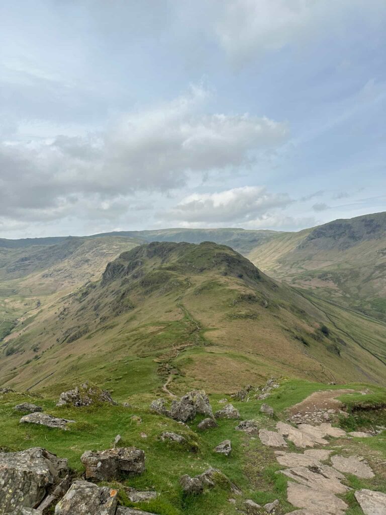
Lunch eaten, we set off back down to the ridge path and carried on towards Gibson Knott. Don’t forget to look back and see Helm Crag – the Lion and the Lamb can be seen from here. The OS map shows the path running at a higher level than what is shown on the ground – we took the path on the ground and it led to the summit!  The summit is a rocky outcrop marked by a small cairn.


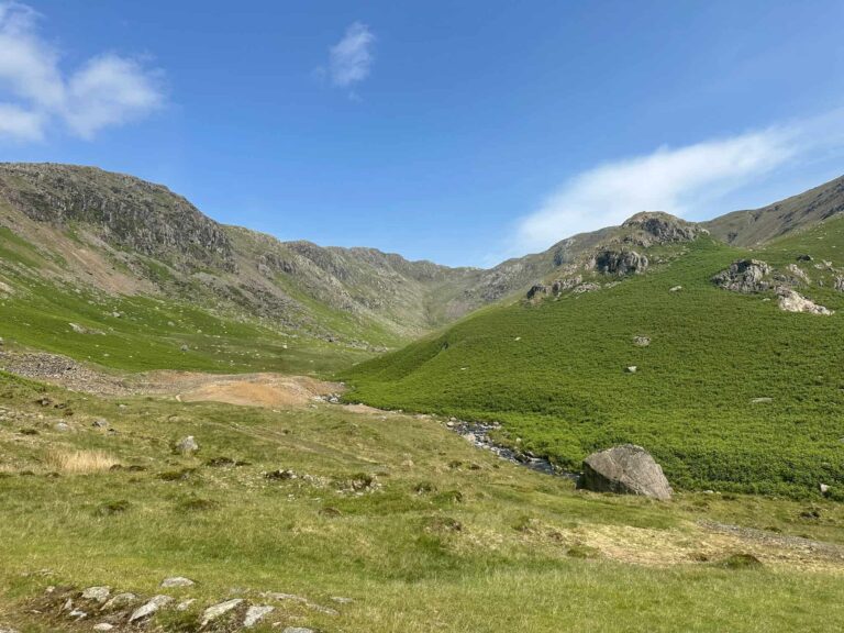
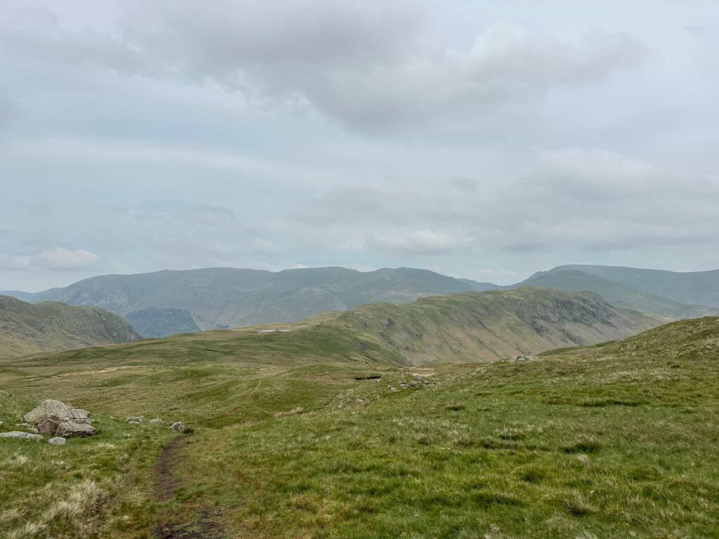
From Gibson Knott we continued over Moment Brow, along the undulating path to Calf Crag. The ground is quite boggy in places here.

The cairn summit of Calf Crag

The cairn summit of Gibson Knott

Summit of Calf Crag

Summit of Calf Crag


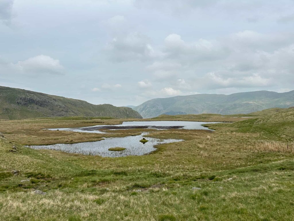
From Calf Crag it’s along to Dead Pike, the summit of Steel Fell, passing various small tarns and pools along the way. The summit is marked by a reddy pink stone cairn.

A Lakeland mountain view

Some moorland pools known as tarns

Steel Fell summit


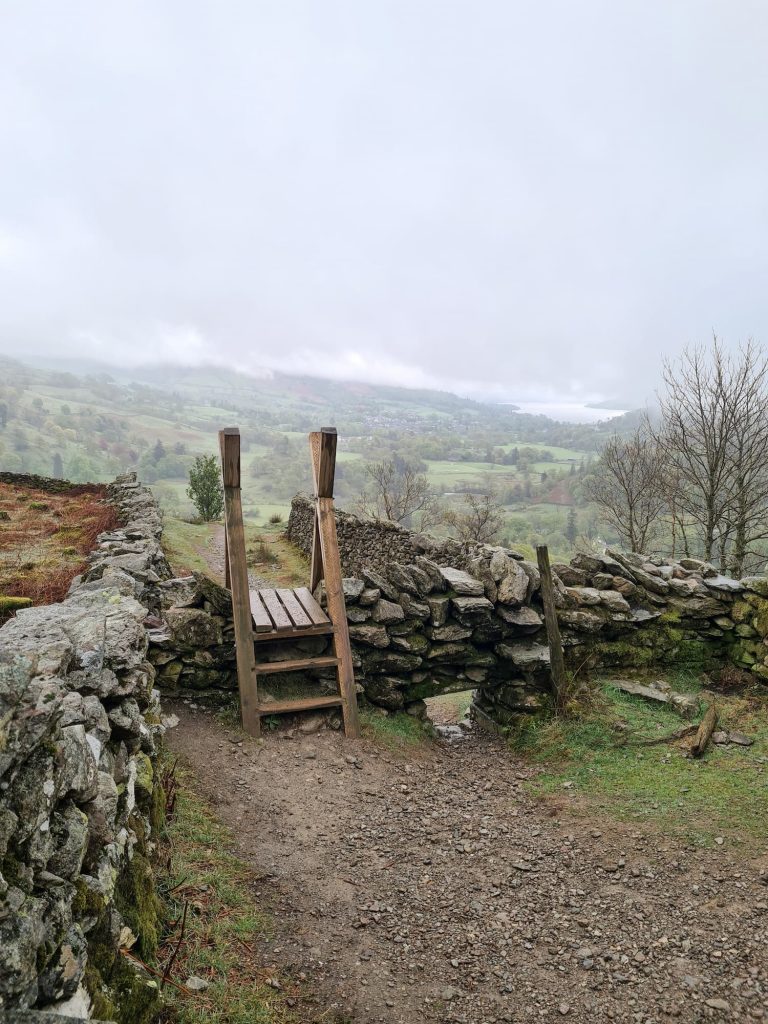
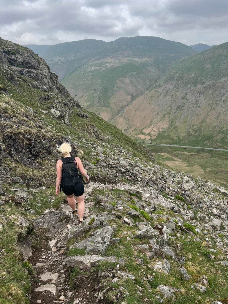
We had a little detour to check out the view near an old fence post – this is actually a path down to Dunmail Raise – and then set off down Cotra Breast, which is steep in places. The path passes through a wooden gate and then runs back to the gate near the waterfall we passed earlier, and then we headed back down the hill and out onto the roadside to head back to the car.

A blonde haired woman descending a rocky path

Heading down a rocky path with Helm Crag in the background

A wooden gate with a view of Helm Crag beyond

This was a lovely walk on paths which don’t seem to get a lot of use. Helm Crag was relatively busy, but the rest of the route was lovely and peaceful with barely anyone else out. My kind of hillwalking!


Greenburn Round Walk Details:


Walk Map (Opens in OS Maps): Greenburn Round Walk

Parking: A layby on Pass of Dunmail Raise, Grasmere, Ambleside LA22 9RU | W3W:///papers.rally.choppers

Facilities: None

Walk Time: 3-4 hours

Difficulty: ▲▲▲

Distance: 7 miles (11.5km)

Trig Points Bagged: None

Wainwrights Bagged: Helm Crag, Gibson Knott, Calf Crag, Steel Fell


For more Wainwright walks you might like:

Fairfield Horseshoe Hiking Route | 11 Miles

Langdale Pikes Circular via Jack’s Rake

Mardale Horseshoe | 10 Miles

Coledale Horseshoe – A Lake District Classic Walk | 9 Miles


and check out the list of the Wainwrights by book for a specific fell and walk to bag it.


Tap to share with your hiking friends!

  • Facebook
  • Email
  • WhatsApp
« Kentmere Horseshoe | 13 Miles
Rannerdale Knotts [and the Bluebells] | 4 Miles »

RELATED POSTS

  • A view from Hallin Fell summit with the large stone obeliskWainwrights: 6 Eastern Martindale Fells
  • A stile above Rydal HallFairfield Horseshoe Hiking Route | 11 Miles
  • A woman admiring the view over Derwentwater from Walla CragWalla Crag, Bleaberry Fell and High Seat | 6 Miles
  • Cat Bells walking route with High Spy, Dale Head Tarn and Newlands Valley - The Wandering WildflowerCatbells Hiking Route | 8 Miles

Leave a Reply Cancel reply

Your email address will not be published. Required fields are marked *

FIND YOUR NEXT WALK:

ABOUT ME

Y Garn with Kids - Y Garn via the Devil's Kitchen Walk in Ogwen Valley

Hello! I’m Jo! Welcome to The Wandering Wildflower, an outdoors lifestyle blog focusing on family walks in the Peak District, a place we love exploring. I want to share the Peak District hidden gems and show you there’s so much more than the honeypot places. When I’m not dragging my husband and now 11 year old out on Peak District walks or up mountains, I can be found on planning my next moorland walk or plotting a Geocache walk (and seeing where the nearest pub is!). I love the hills but hate the heights, so trig bagging is – er- fun!


I hope this blog will give you some ideas of places to visit in the Peak District and inspire you and your family to head into the great outdoors.  Thanks for stopping by!

CATEGORIES

  • CIRCULAR WALKS (188)
  • HOLMFIRTH WALKS (27)
  • ISLE OF SKYE WALKS (3)
  • LAKE DISTRICT WALKS (24)
  • LANCASHIRE WALKS (2)
  • LONG PEAK DISTRICT WALKS 10 MILES + (42)
  • MEDIUM WALKS 4-9 MILES (136)
  • PEAK DISTRICT SCRAMBLES (16)
  • PEAK DISTRICT WALKS (202)
  • PEAK DISTRICT WALKS WITH KIDS (75)
  • PEAK DISTRICT WALKS WITH PUBS (60)
  • SCOTLAND WALKS (6)
  • SHORT WALKS UNDER 3 MILES (40)
  • SNOWDONIA WALKS (5)
  • UK CAMPING (5)
  • YORKSHIRE WALKS (33)

Peak District Walks

List of Peak District Ethels

Peak District Peak Bagging

Peak District Trig Point Challenge

Peak District Walks with Pubs

Peak District Walks with Kids

Beautiful Walks in Holmfirth

Short Walks in the Peak District

Long Walks in the Peak District

AFFILIATE DISCLOSURE

This blog may contain affiliate links through which, at no additional cost to you, I may earn a small commission. I only recommend products I would use myself and all opinions expressed here are my own. As an Amazon Associate I earn from qualifying purchases. Read full privacy policy here.

ARCHIVES

PEAK DISTRICT WEATHER

Peak District mountain weather on Met Office

Peak District Trig Points

Promo image for a blog post about the Peak District Trig Point Challenge With Map of Peak District Trig Points and Walking Routes by The Wandering Wildflower

Peak District Ethels Challenge

Promo image for a blog post about the Peak District Trig Point Challenge With Map of Peak District Ethels and Walking Routes by The Wandering Wildflower

WALKING ROUTES STRAIGHT TO YOUR INBOX

Want new walks in your inbox? Drop your email below and I'll send you some ideas for walks you can try.

You can unsubscribe anytime. For more details, review our Privacy Policy.

Thank you!

You have successfully joined our subscriber list.

RSS LATEST POSTS

  • Burnbank Fell, Blake Fell and Gavel Fell | 8 Miles
  • Bretton Park Circular Walk | 3 Miles
  • Hathersage Stepping Stones Walk | 7 Miles
  • Ladybower Walk | 6 Miles
  • Derbyshire Peak District Walks

FOLLOW ON PINTEREST

Want new walks in your inbox? Drop your email below and I'll send you some ideas for walks you can try.

You can unsubscribe anytime. For more details, review our Privacy Policy.

Thank you!

You have successfully joined our subscriber list.

jo@thewanderingwildflower.co.uk

The Wandering Wildflower

  • Email
  • Facebook
  • Instagram
  • Pinterest
  • PRIVACY POLICY
  • TERMS & CONDITIONS
  • ABOUT

(c) The Wandering Wildflower. All Rights Reserved.

|| THEME BY ECLAIR DESIGNS