• 3 Mile Walks or Less
  • 4 Mile Walks
  • 5 Mile Walks
  • 6 Mile Walks
  • 7 Mile Walks
  • 8 Mile Walks
  • 9 Mile Walks
  • 10 Mile Walks
  • 11 Mile Walks
  • 12 Mile Walks
  • 14 Mile Walks
  • 15 Mile Walks
  • 20+ Mile Walks

The Wandering Wildflower

Peak District Hikes

  • PEAK DISTRICT WALKS
    • SHORT WALKS UNDER 3 MILES
    • MEDIUM WALKS 4-9 MILES
    • LONG PEAK DISTRICT WALKS 10 MILES +
  • PEAK DISTRICT WALKS WITH PUBS
  • PEAK DISTRICT WALKS WITH KIDS
  • HOLMFIRTH WALKS

Rishworth 5 Trigs Walk | 19 Miles

May 16, 2023 CIRCULAR WALKS, LONG PEAK DISTRICT WALKS 10 MILES +

Pinterest Image for Rishworth 5 Trigs Challenging Walk - Rishworth Moor - The Wandering Wildflower

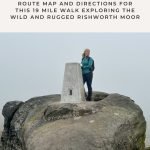
You’ve heard of the Saddleworth 5 trigs route, but here’s the Rishworth 5 trigs! This 19 mile walk over the ruggedly beautiful Rishworth Moors starts from Marsden and winds its way over the moors via 5 different trig points (Cupwith Hill, Dog Hill (aka Rishworth Moor), Blackstone Edge, White Hill and Millstone Edge).

This Rishworth 5 Trigs walk takes you over the bleak moorland near Rishworth and good navigation is key. The route is exposed and the weather can change quickly, and you’re almost certainly guaranteed it’ll be windy! It’s very wet up on the moors so I’d advise waterproof boots and gaiters.


We started our walk in Marsden centre and headed over Mellor Bridge, one of two medieval packhorse bridges in Marsden. A major packhorse road ran from Clough Lea to Hey Green and Easter Gate, where there is another bridge similar to this.

A medieval stone packhorse bridge in Marsden


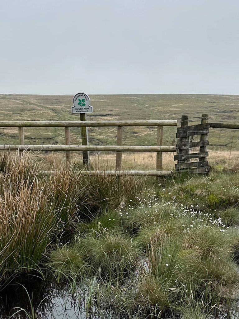
Walking up Spring Head Lane to where it finishes, we then headed through the yard of the cottages picking up a steep footpath and up onto the hills.


A view of Marsden from the hills above, a pretty mill town in West Yorkshire

A wooden sign post with the Colne Valley Circular Walk marked

A wooden pallet bridge crossing a bog on the moors.

You know it’ll be a wet walk where this is the first view you have of the moors…!


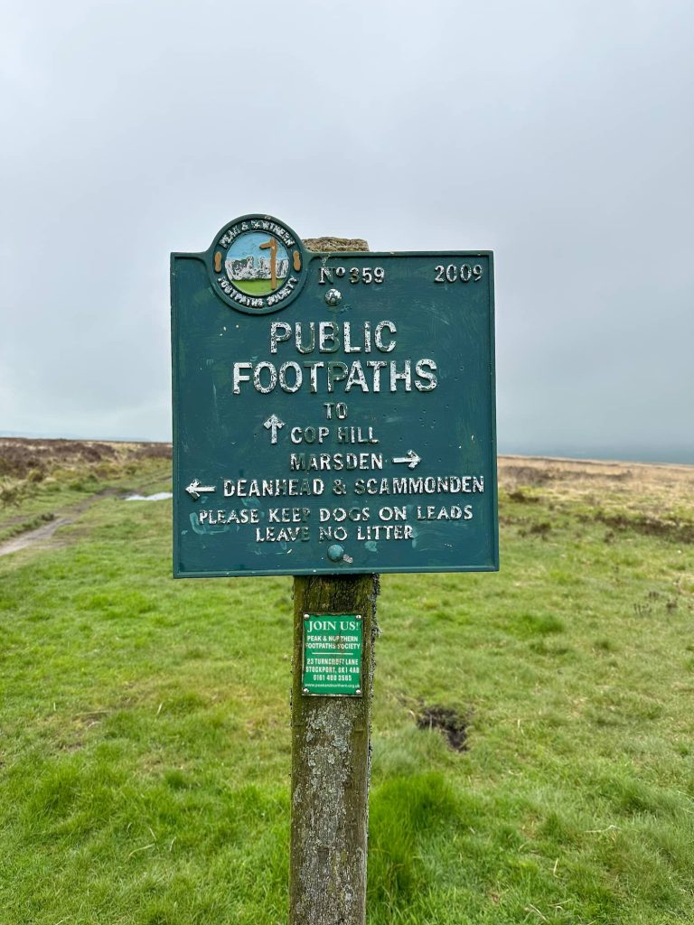
The footpath follows the Kirklees Way over Shaw Heys until we reached the green sign at the crossroads. Here I’d advise not taking our route – we followed a path which is shown on the Ordnance Survey map but in real life, there isn’t a path and the route we took runs through a bog (which we found out to our detriment!). If you follow this walk, head to Cupwith Reservoir and pick up the more obvious path leading up to Cupwith Hill trig point (426m).

A green sign post with directions

Cupwith Hill trig point, a white painted concrete pillar

Cupwith Hill trig point – the first of the day


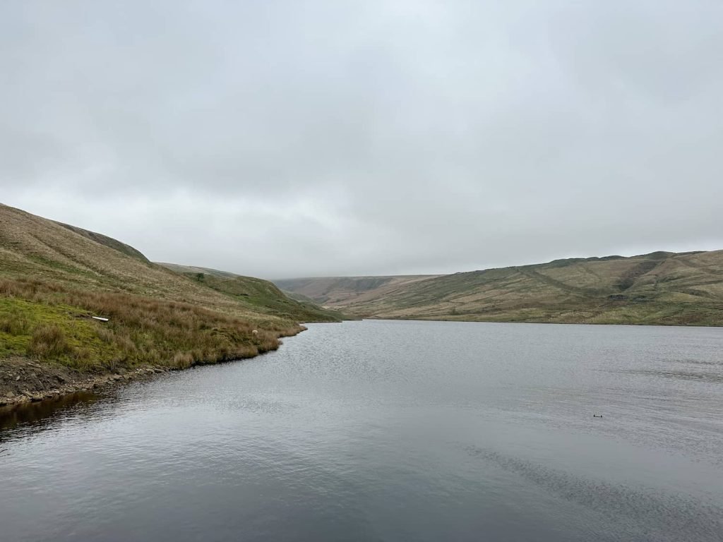
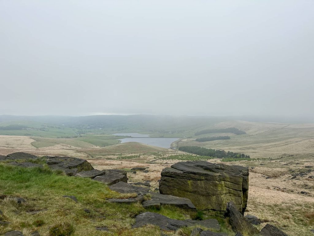
From Cupwith Hill trig we retraced our steps to pick up the path leading to New Hey Road. We walked on the road for a short distance before taking the footpath down past Watermans House (another footpath running right through someone’s driveway) and down to Deanhead Reservoir. There are fabulous views down over Scammonden Reservoir from here.


Deanhead Reservoir

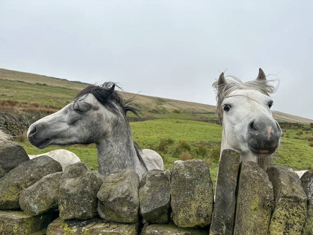
We climbed up the hillside, past an old ruin at Upper Head Gate (presumably a farm building?) and crossed Saddleworth Road, then went down the hillside past the disused Grey Stone Quarry, a former sandstone quarry. We followed the wall down the hill towards the motorway, passing through a farmyard with the friendliest ponies, sheep and lambs.

Two small ponies, one grey and one white, peering over a stone wall


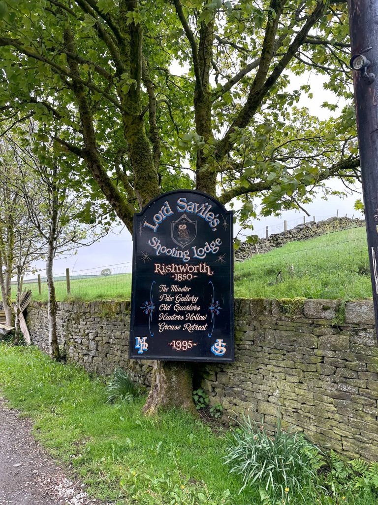
The path takes you past possibly the most famous farm in the country, Stott Hall Farm in the middle of the M62! We passed under both carriageways of the motorway then down onto a track near Booth Wood Reservoir dam embankment, which is a structure that wouldn’t look out of place in Star Wars. We took a wrong turn here – instead of taking the footpath down through the woods, we set off down the tarmac lane only to find the gate locked and we had to retrace our steps. The path actually runs through the woods opposite the footpath to the road, which leads up to the A672 and then we went along the footpath passing Rishworth Lodge, a former shooting lodge for Lord Savile.

A sign for Rishworth Hunting Ldge


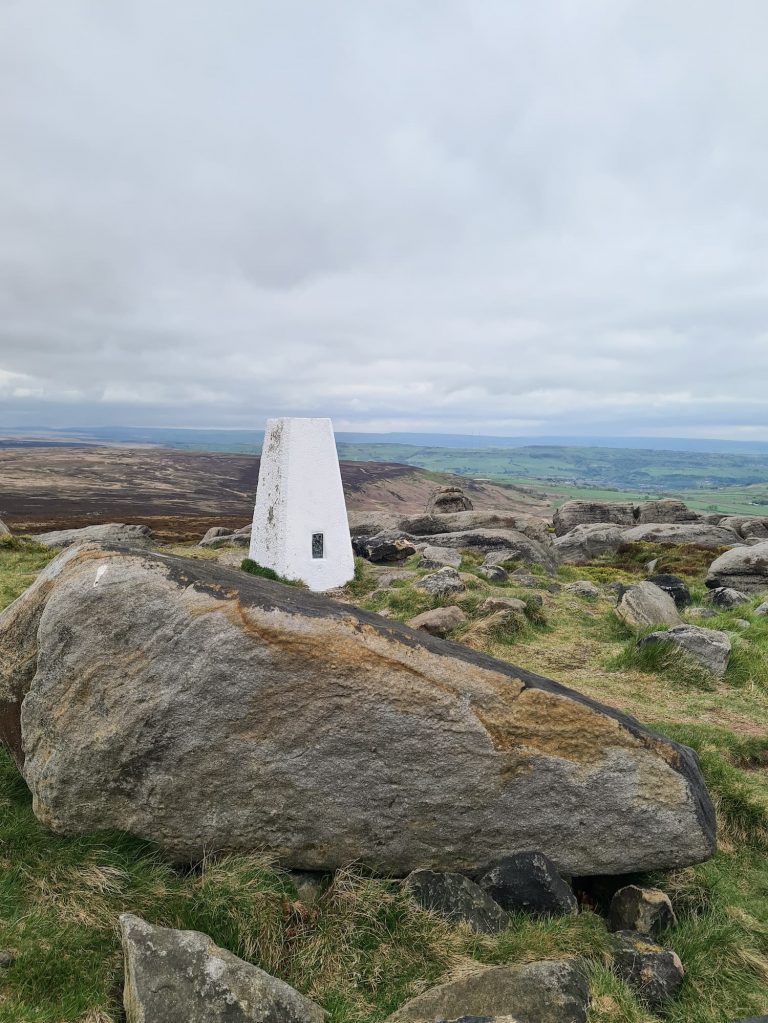
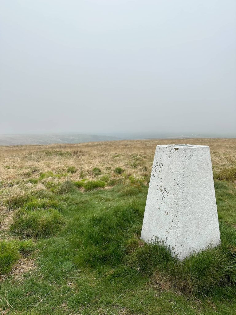
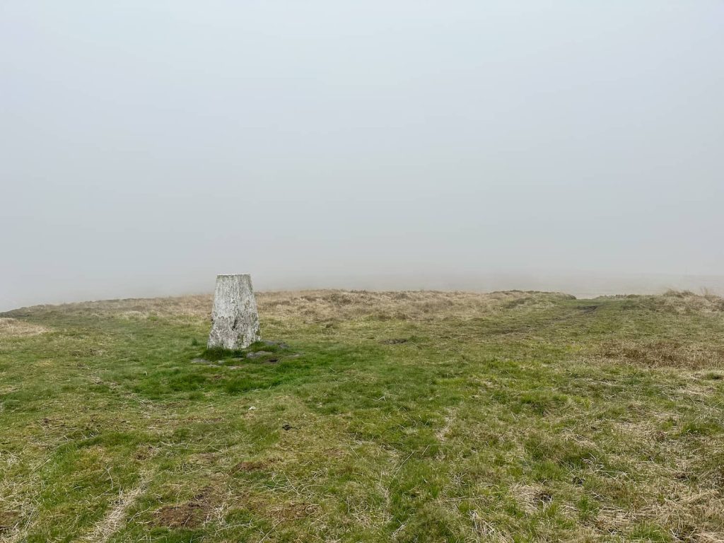
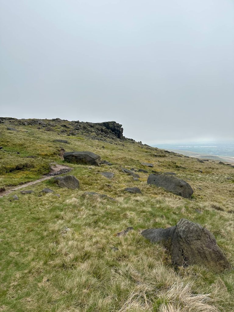
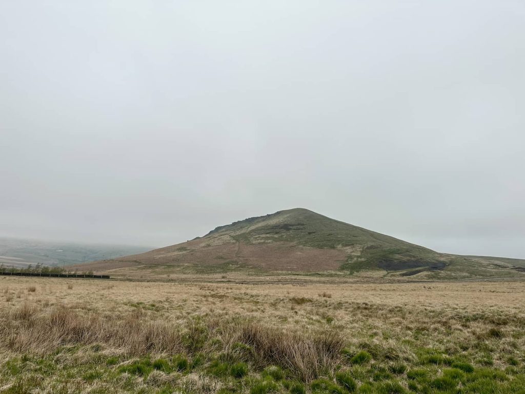
The footpath runs up to Boan Cottage, and we headed out onto the Open Access Land to pick up Blackwood Edge Road (actually a path) which runs to Dog Hill trig point (435m). This is the highest point on Rishworth Moor and on a clear day there are great views over the moor.


A misty view of Dog Hill trig point, a grey concrete pillar

Dog Hill trig point aka Rishworth Moor trig with some spectacular views


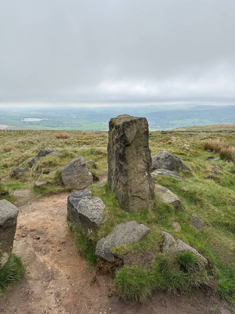
The path runs past the Cat Stones along Warm Withens Hill, following the course of the drain, and turns north-east to join the Old Packhorse Road (thought to be an old Roman road) to the Aiggin Stone. This stone is a gritstone pillar which used to be significantly taller than it is now, having suffered a bit over time, and marks the junction of the Roman road connecting Manchester to York.


The Cat Stones, a pile of stones on the moor

The mysterious Cat Stones

A former Roman road near Blackstone Edge

A former Roman road near Blackstone Edge

The Aiggin Stone, an ancient waymarker stone pillar

The Aiggin Stone, an ancient waymarker stone pillar


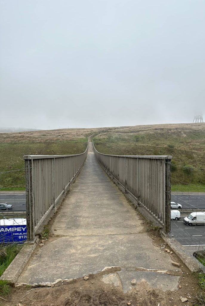
From the Aiggin Stone we crossed to the next trig point, Blackstone Edge (472m) then followed the Pennine Way south-east over White Isles to the M62 bridge. I wasn’t a fan of this bridge – the motorway seemed a very long way down!

Blackstone Edge, a rocky outcrop on the moors

A woman standing next to the trig point at Blackstone Edge

A bridge over the M62 motorway

After the bridge we followed the Pennine Way over Rook Stones Hill and crossed the road near the cafe in the layby. We walked along Axletree Edge, turning east to the next trig point, White Hill (466m).

A signpost for the Pennine Way

White Hill trig point, a white painted concrete pillar

White Hill trig point

A fence on a boggy moorland with a National Trust Omega sign

A boundary marker for the eastern boundary of Lancashire

A green sign near a fork in the footpath

We took the right hand fork but the way to the left is just as lovely to explore.


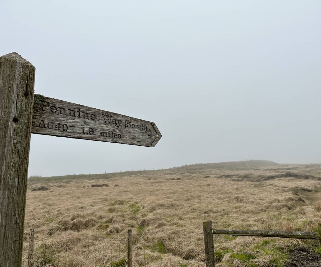
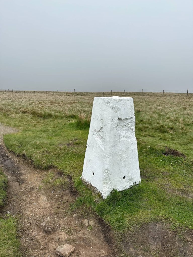
The Pennine Way crosses Huddersfield Road and forks, with the left fork heading down Willykay Clough to Easter Gate Bridge (also known as Close Gate Bridge) and the right fork continues over the moors of Little Moss, Haigh Gutter Moss. This area is known as Standedge Edge, not to be confused with Stanage Edge in Derbyshire, and to confuse things further there’s the Millstone Edge trig point (448m) here too!


A misty murky view from a rocky outcrop over a reservoir.

Millstone Edge trig point, a white painted concrete pillar

Millstone Edge trig point


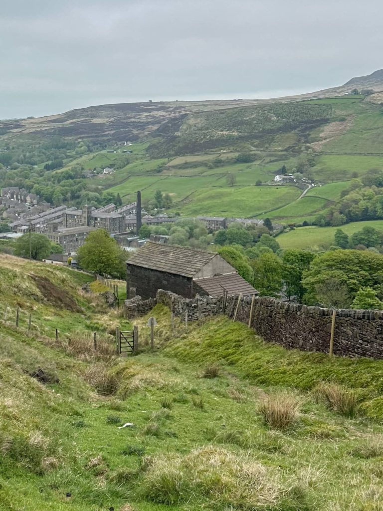
From Millstone Edge, we headed north-east via Thieves Clough towards Redbrook Reservoir. A footpath leads alongside the reservoir which leads out onto Mount Road, and we then picked up the Stanedge Trail path leading around the base of Pule Hill down into Marsden again, where we enjoyed a drink in the Riverhead Brewery Tap as our reward.


A view of Pule Hill, a triangular shaped hill in Marsden

A view down into Marsden from the hillside above. There is a stone barn and a stone wall leading to a wooden gate. The hills are very green despite it being a murky day

This is a great challenge walk, ideal for those who like spending quiet days on the moor. We barely saw anyone else during our whole walk, apart from a guy with his 4 dogs off the lead on Millstone Edge. The dogs came running up to me snarling and growling, and he was less than impressed when I reminded him they should be on leads and under control, especially during ground nesting birds season which runs from 1 March to 31 July. Idiot. Don’t be like him.


Rishworth 5 Trigs Walk Route Map:


Walk Map (Opens in OS Maps): Rishworth 5 Trigs Walk

Parking: We parked outside St Bartholomew Church HD7 6DJ (What3Words: ///legs.baguette.swelling)

Facilities: There are pubs and shops in Marsden, and a cafe in a layby on A672 just after the motorway bridge crossing.

Walk Time: 7-8 hours

Difficulty: ▲▲▲

Trig Points Bagged: Cupwith Hill, Dog Hill, Blackstone Edge, White Hill, Millstone Edge


Another walk nearby you might like is this Marsden Moor Circular Walk.

Tap to share with your hiking friends!

  • Facebook
  • Email
  • WhatsApp
« Blencathra via Sharp Edge | 5 Miles
Triple Trig Walk: Soles Hill, Grindon Moor and Martins Low | 8 Miles »

RELATED POSTS

  • Boots with a view - a pair of hiking boots in the foreground, with expansive moorland as the viewDerwent Valley Skyline Walk | 24.5 Miles
  • A view of Castle Hill from Farnley Tyas - green fields and blue skiesHolme Valley Circular Walk | 24 Miles
  • A woman stood on a rock at the top of Win HillEdale Skyline [With GPX File] | 20 Miles
  • Baslow Edge Short Walk | 1.5 Miles

Leave a Reply Cancel reply

Your email address will not be published. Required fields are marked *

FIND YOUR NEXT WALK:

ABOUT ME

Y Garn with Kids - Y Garn via the Devil's Kitchen Walk in Ogwen Valley

Hello! I’m Jo! Welcome to The Wandering Wildflower, an outdoors lifestyle blog focusing on family walks in the Peak District, a place we love exploring. I want to share the Peak District hidden gems and show you there’s so much more than the honeypot places. When I’m not dragging my husband and now 11 year old out on Peak District walks or up mountains, I can be found on planning my next moorland walk or plotting a Geocache walk (and seeing where the nearest pub is!). I love the hills but hate the heights, so trig bagging is – er- fun!


I hope this blog will give you some ideas of places to visit in the Peak District and inspire you and your family to head into the great outdoors.  Thanks for stopping by!

CATEGORIES

  • CIRCULAR WALKS (189)
  • HOLMFIRTH WALKS (27)
  • ISLE OF SKYE WALKS (3)
  • LAKE DISTRICT WALKS (24)
  • LANCASHIRE WALKS (2)
  • LONG PEAK DISTRICT WALKS 10 MILES + (42)
  • MEDIUM WALKS 4-9 MILES (137)
  • PEAK DISTRICT SCRAMBLES (16)
  • PEAK DISTRICT WALKS (205)
  • PEAK DISTRICT WALKS WITH KIDS (76)
  • PEAK DISTRICT WALKS WITH PUBS (60)
  • SCOTLAND WALKS (6)
  • SHORT WALKS UNDER 3 MILES (40)
  • SNOWDONIA WALKS (5)
  • UK CAMPING (5)
  • YORKSHIRE WALKS (33)

Peak District Walks

List of Peak District Ethels

Peak District Peak Bagging

Peak District Trig Point Challenge

Peak District Walks with Pubs

Peak District Walks with Kids

Beautiful Walks in Holmfirth

Short Walks in the Peak District

Long Walks in the Peak District

AFFILIATE DISCLOSURE

This blog may contain affiliate links through which, at no additional cost to you, I may earn a small commission. I only recommend products I would use myself and all opinions expressed here are my own. As an Amazon Associate I earn from qualifying purchases. Read full privacy policy here.

ARCHIVES

PEAK DISTRICT WEATHER

Peak District mountain weather on Met Office

Peak District Trig Points

Promo image for a blog post about the Peak District Trig Point Challenge With Map of Peak District Trig Points and Walking Routes by The Wandering Wildflower

Peak District Ethels Challenge

Promo image for a blog post about the Peak District Trig Point Challenge With Map of Peak District Ethels and Walking Routes by The Wandering Wildflower

WALKING ROUTES STRAIGHT TO YOUR INBOX

Want new walks in your inbox? Drop your email below and I'll send you some ideas for walks you can try.

You can unsubscribe anytime. For more details, review our Privacy Policy.

Thank you!

You have successfully joined our subscriber list.

RSS LATEST POSTS

  • How to Find Three Shires Head
  • Burnbank Fell, Blake Fell and Gavel Fell | 8 Miles
  • Bretton Park Circular Walk | 3 Miles
  • Hathersage Stepping Stones Walk | 7 Miles
  • Peak District Caves

FOLLOW ON PINTEREST

Want new walks in your inbox? Drop your email below and I'll send you some ideas for walks you can try.

You can unsubscribe anytime. For more details, review our Privacy Policy.

Thank you!

You have successfully joined our subscriber list.

jo@thewanderingwildflower.co.uk

The Wandering Wildflower

  • Email
  • Facebook
  • Instagram
  • Pinterest
  • PRIVACY POLICY
  • TERMS & CONDITIONS
  • ABOUT

(c) The Wandering Wildflower. All Rights Reserved.

|| THEME BY ECLAIR DESIGNS