The Source of the River Derwent | 12 Miles
This 12 mile hike heads up onto the rugged Bleaklow and Howden Moors, visiting Bleaklow Stones, Grinah Stones, Barrow Stones, the source of the River Derwent and Ronksley Cabins before returning via Far Small Clough. This is a walk for those who love peace and quiet and hiking away from the crowds – it’s rare to see anyone else up on these moors!
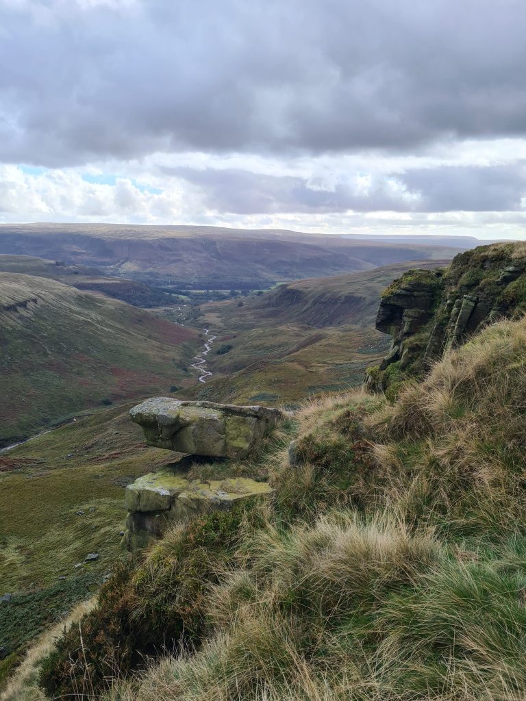
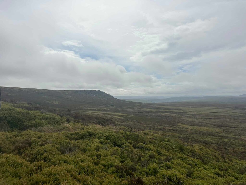
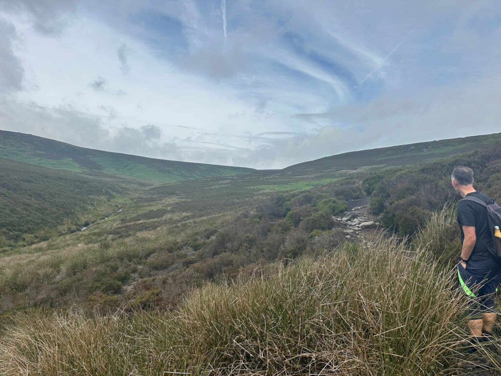
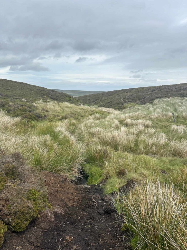
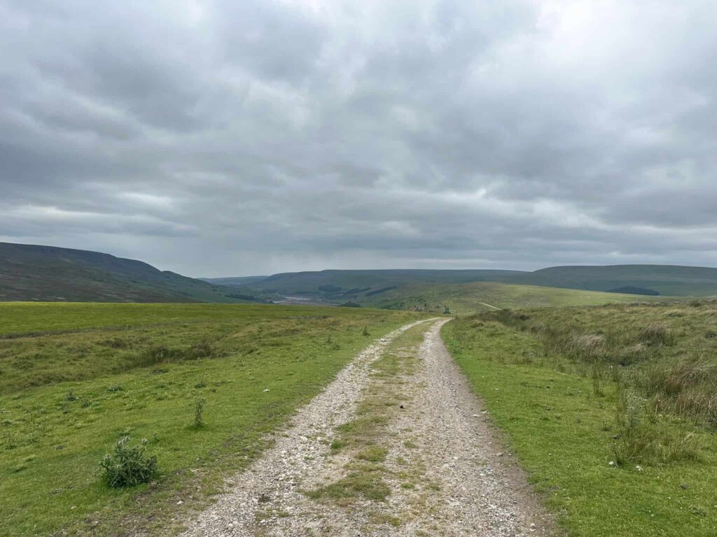
The moorland up on the Bleaklow and Howden Moors feels wild and untouched – a proper stretch of unspoilt upland with nothing but heather, wind and sky for miles. Rugged gritstone outcrops break up the landscape, and the path winds across open ground that feels both remote and timeless – the kind of place where you half expect to spot a mountain hare darting through the heather.
The Source of the River Derwent
The River Derwent rises high on the moorland plateau of Bleaklow in the Dark Peak area of the Peak District. Up here, tiny trickles of water seep from the peat and start their long journey north, eventually flowing through Ladybower Reservoir, Derwent Reservoir, and Howden Reservoir before heading down into Derbyshire and joining the River Trent.
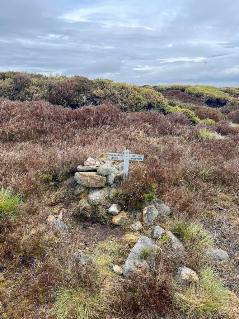
The source of the River Derwent is marked by a small sign tucked into a stone cairn on Swains Greave, just east of Bleaklow Head. It’s easy to miss if you’re not looking for it – the marker is modest, but there’s something quite special about standing at the very start of such a significant river, especially in such a wild and windswept place. I also like a bit of a treasure hunt!
Grid Reference for the Source of the River Derwent: SK13232 96685
After I’d realised how close we came to visiting on our walk Fairholmes to the Grinah Stones | 17 Miles I knew a revisit was in order!
Howden Moors Walk
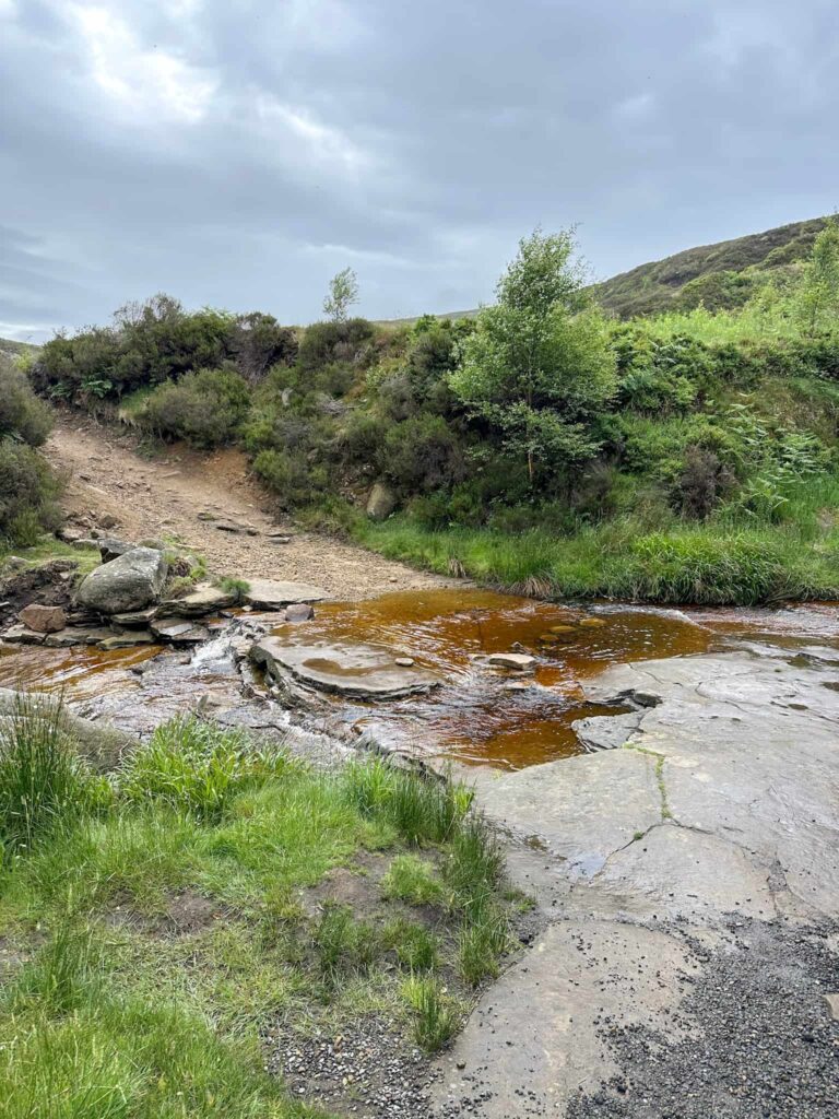
This walk starts from Woodhead, in a layby just off the Woodhead Pass (A628). Our usual parking area (Woodhead Tunnels) was closed so we had to park further away and walk on the road for a short distance before heading down the footpath to the start point. We followed the River Etherow to the ford, crossed the ford and headed up the keepers track which runs alongside Far Black Clough.
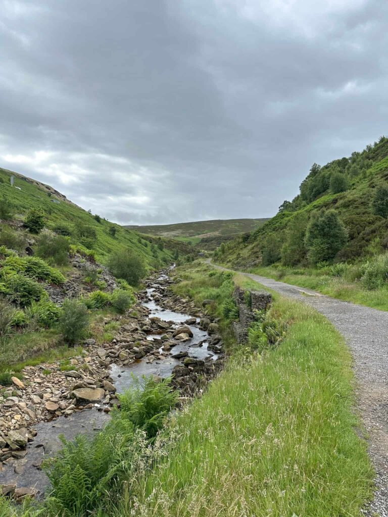
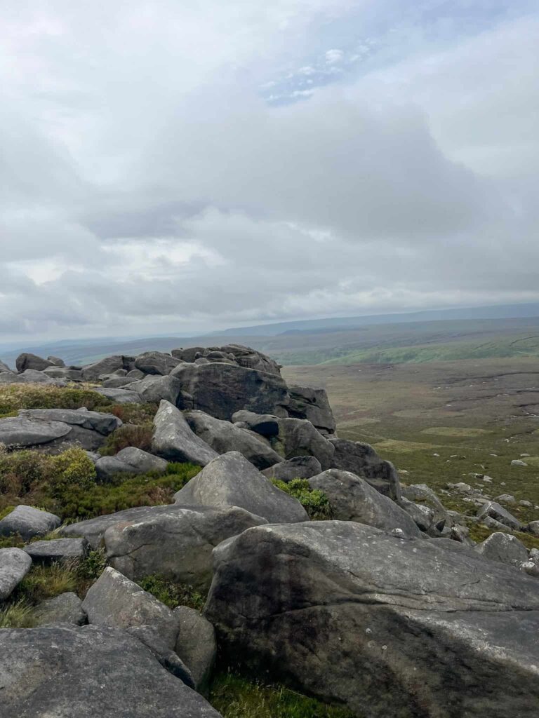
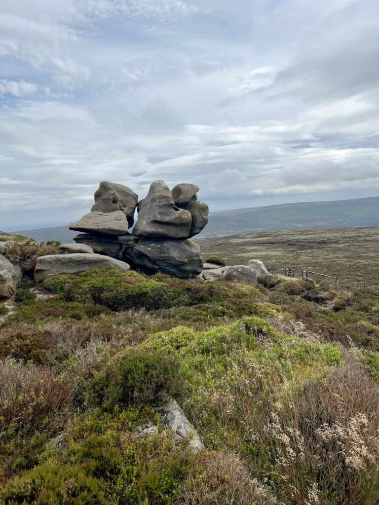
This steep, gravel track opens up into an area where there’s a bridge crossing the Clough. Ignore the bridge and continue on the path which runs adjacent to the Clough – it’s rocky in places as it clings to the edge of the Clough. The path winds its way south-west, weaving in and out of groughs and crossing small streams, becoming faint in places. After around 1.6 miles (2.6km) Bleaklow Stones appear on the horizon, with the fabulous Anvil Stone being instantly recognisable.
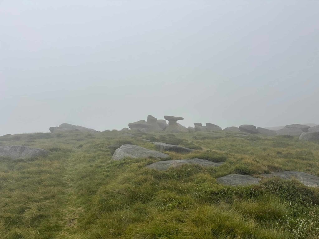
From Bleaklow Stones we set off east towards the Grinah Stones, following a fairly well worn path through the heather. The Grinah Stones have spectacular views down the Derwent Valley over Ridgewalk Moor.
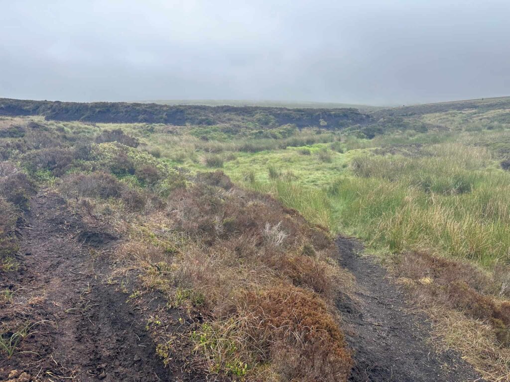
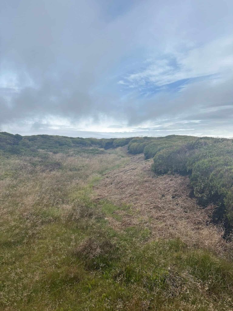
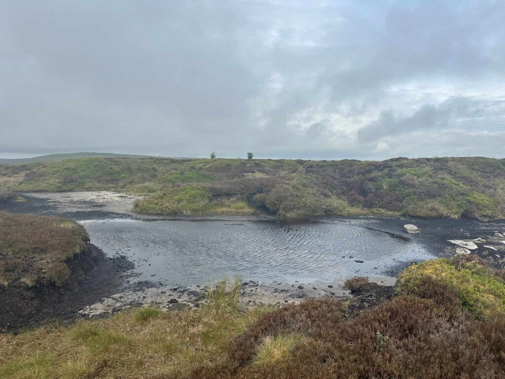
After around 0.3 miles (480m) we left the main path, following a grough/gully north-west. We followed the course of the grough for 0.1 miles (140m ish) to a large pool, with a peaty, gritty beach area. With the pool on our left, we continued round the head of the peat hag and we could see the Source of the River Derwent marker cairn a short distance away.
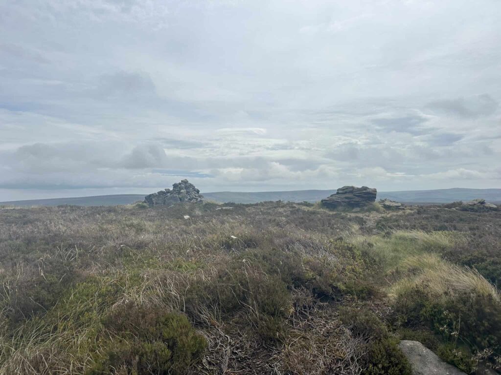
Photos taken, we followed a very faint path east to rejoin our original path and continued to the Barrow Stones, another curious collection of gritstone boulders with far reaching views over the unspoilt wilderness of the moors.
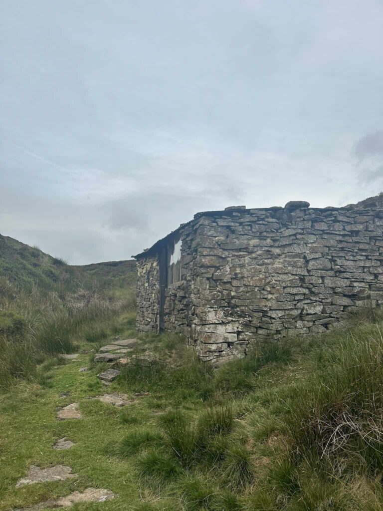
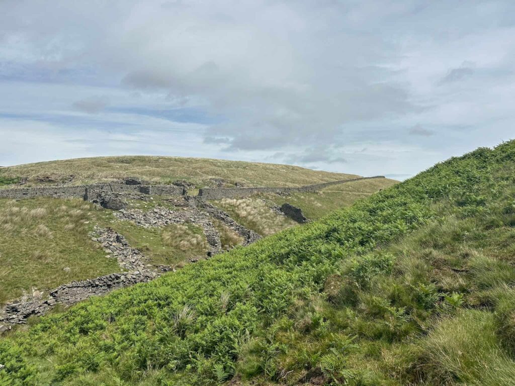
Passing through the Barrow Stones, we went through the wooden gate and followed the path over to Round Hill, with its little wind shelter. Turning right, the path starts to descend and heads over Ridgewalk Moor, heading south-east to pass a moorland pool. Here the path joins a keeper’s track, so we turned left and headed down the track to the Ronksley Cabins.
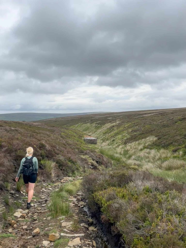
Passing the cabins, we continued following the path downhill until we reached the River Derwent. We crossed the river and climbed up the other side, following a faint path which joined a more substantial track. We continued on this track for around 0.9 miles (1.45km), slowly climbing up the hill further away from the river.
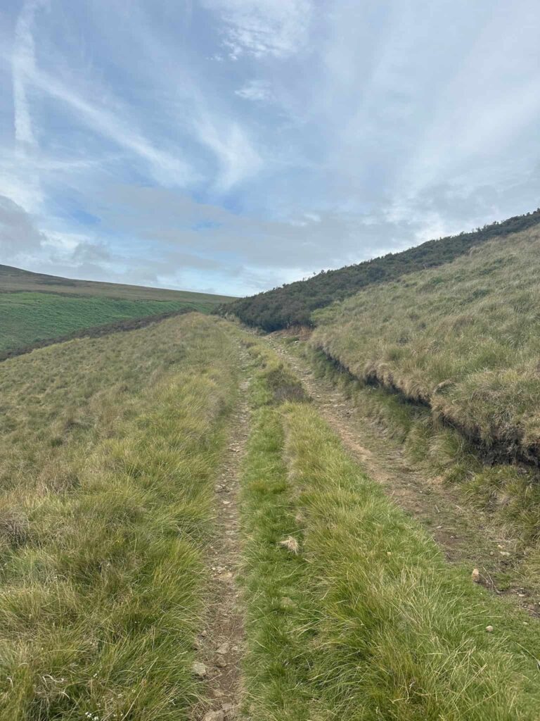
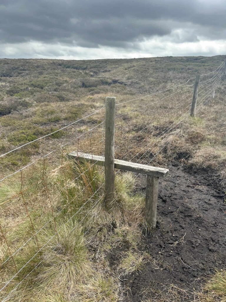
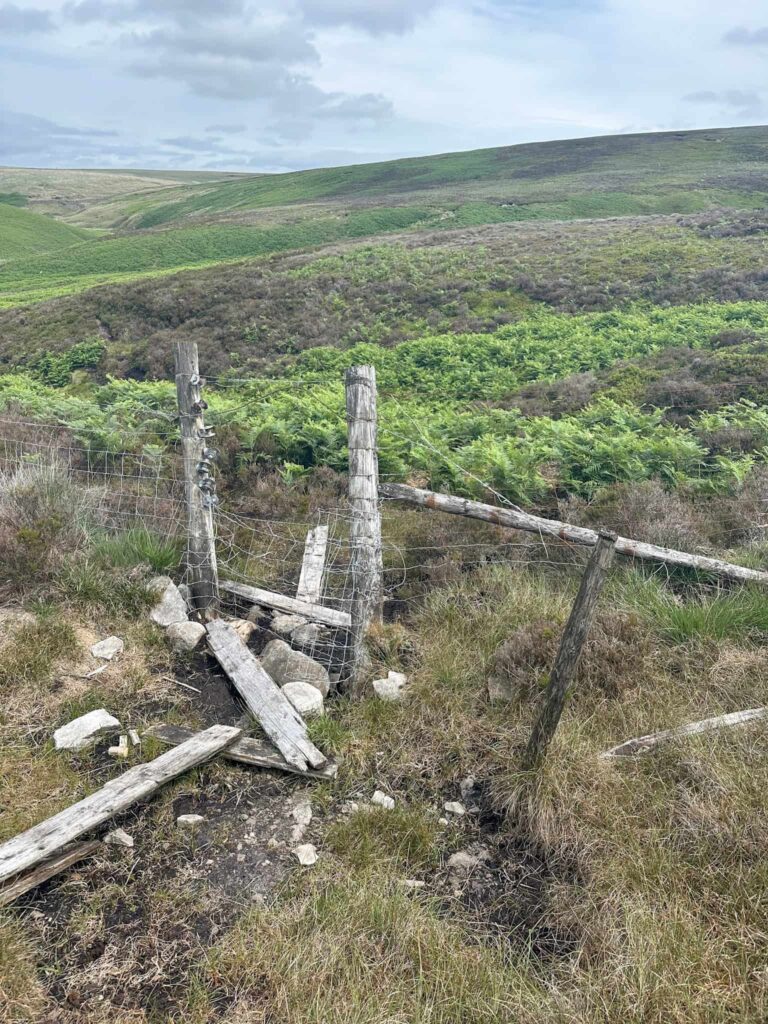
We crossed Hoar Clough near the Shepherds Meeting Stones, and then continued north-west to Swains Head. Here there’s a fence and stile – we didn’t cross this stile, but followed the fence line north along Far Small Clough Head, crossing the next stile and then walking down Far Small Clough itself for around 0.7 miles (1.13km).
There is a gap in the fence to cross (there was the remnants of a stile nearby) and we crossed two small streams in quick succession. Following the path above Salter’s Brook, we passed dropped down to cross the brook and then climbed the wall stile to join the Longdendale Trail. Passing through the two gates over the bridge, we crossed the A628 and headed through the gate along Long Side.
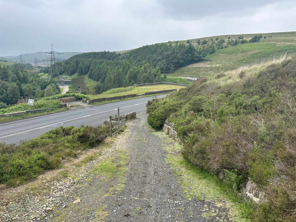
After about a mile on this track, we started to descend, following the steep path back down to the roadside, and turned right to head back to the parking layby. If you parked in the Woodhead Tunnels car park, you’d cross the road here and follow the footpath opposite back down to the parking area.
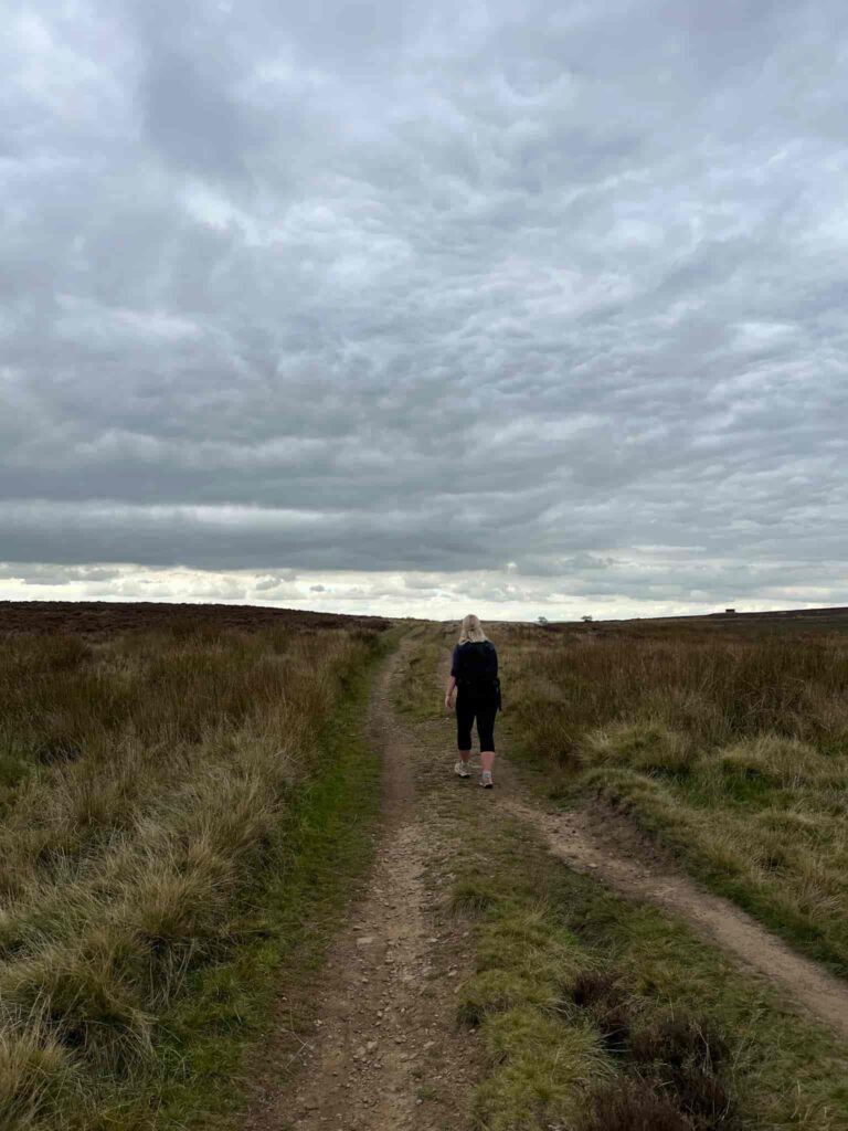
This is a great walk to do to escape from the world for a little bit. A long walk across empty moorland clears your head in a way nothing else quite does. It’s quiet, it’s wild and you can finally hear yourself think!
Source of the River Derwent Walk Details:

Walk Map (Opens in OS Maps):Source of the River Derwent & Howden Moors Walk
Parking: We parked in a layby on the A628 near Woodhead (Grid Ref SK 11356 99968) | nearest postcode: SK13 1JD | W3W: sulky.pelting.beak
I usually park in Woodhead Tunnels car park (SK 11350 99850) | W3W: headboard.reservoir.detective but this was closed.
Facilities: None – remember to Leave No Trace.
Dogs: Allowed, but on leads on Open Access Land between 1 March and 31 July to protect wildlife.
Walk Time: 5-6 hours
Difficulty: ▲▲▲
Distance: 11.7 miles (18.8km)
Trig Points Bagged: None
Peak District Peaks Bagged: None
Peak District Ethels Bagged: None
For more remote Peak District walks, you might like:
Woodhead to Shepherds Meeting Stones | 7 Miles