• 3 Mile Walks or Less
  • 4 Mile Walks
  • 5 Mile Walks
  • 6 Mile Walks
  • 7 Mile Walks
  • 8 Mile Walks
  • 9 Mile Walks
  • 10 Mile Walks
  • 11 Mile Walks
  • 12 Mile Walks
  • 14 Mile Walks
  • 15 Mile Walks
  • 20+ Mile Walks

The Wandering Wildflower

Peak District Hikes

  • PEAK DISTRICT WALKS
    • SHORT WALKS UNDER 3 MILES
    • MEDIUM WALKS 4-9 MILES
    • LONG PEAK DISTRICT WALKS 10 MILES +
  • PEAK DISTRICT WALKS WITH PUBS
  • PEAK DISTRICT WALKS WITH KIDS
  • HOLMFIRTH WALKS

Yorkshire Dales Walk from Settle to Long Preston | 5 Miles

September 15, 2021 MEDIUM WALKS 4-9 MILES, YORKSHIRE WALKS

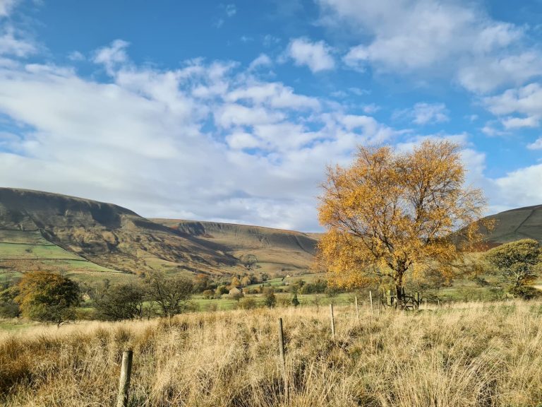
The Yorkshire Dales has some of the most beautiful countryside in the UK, and the area around Settle is no exception. This walk from Settle to Long Preston (and back, if you wanted to make it a longer walk) is approximately 7.5km and takes in some stunning moorland scenery. Here’s the route if you fancy a walk from Settle to Long Preston following the Pennine Bridleway.

On our last day in the Yorkshire Dales we decided to have a walk around Settle and pick up some puzzle geocaches I had solved a while ago. I think I’ll remember the first national lockdown as the time of many, many online jigsaws! I completed the puzzles in the Bob Ross series by Bxgeo. The solved coordinates appeared in a nice long line on the map, so I knew we had to walk and get them. It seemed like a relatively easy walk and, apart from the initial climb, it was steady going.


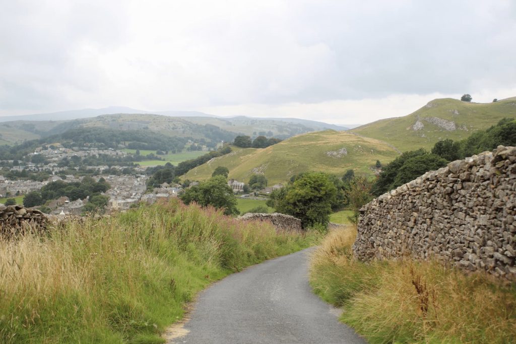
We parked in the Greenfoot car park in Settle and then headed to grab a picnic from a local cafe. After the sandwiches were carefully stowed away in the rucksack, we set off. With The Museum of North Craven Life on our left, we started up the hill.


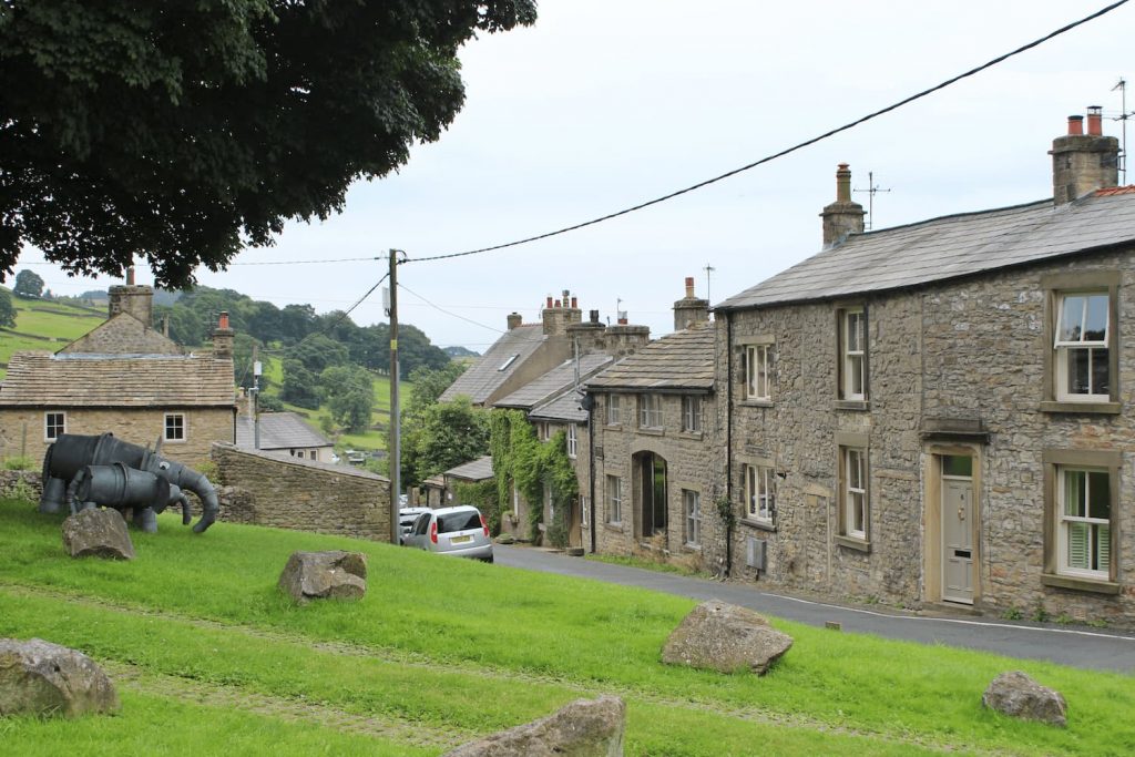
You’ll come to a village green with an old telephone box which has been repurposed into a mini art gallery. As it was the Settle Flowerpot Festival there was also a couple of invading elephants on the village green.

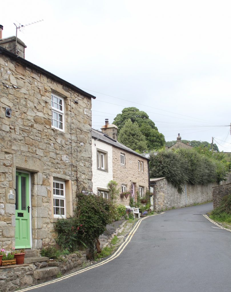
With the telephone box on our right, we walked up the hill along Mitchell Lane. This is one of those roads which shows as a road on a map, and starts out as a road, but you definitely wouldn’t want to be driving down it. I’ve made this mistake before and ended up driving down some green roads in my battered old Peugeot 206 before, much to my husband’s dismay!


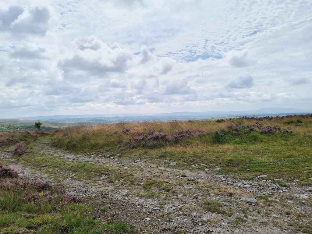
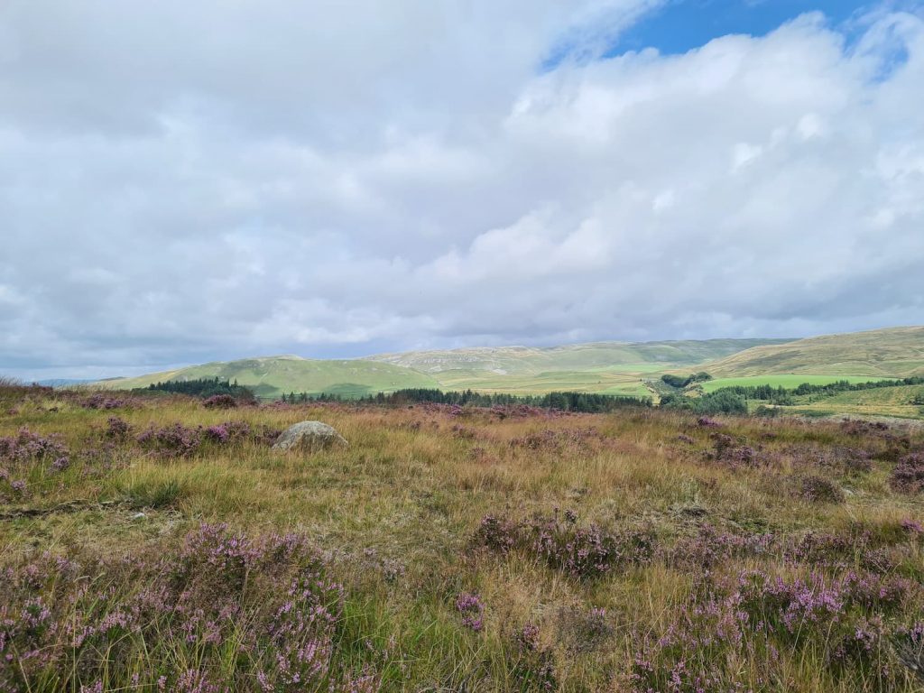
Mitchell Lane is an unmade lane which comes to a fork, with the right hand fork turning into The Pennine Bridleway. We followed this until it becomes Edge Lane, then Green Gate Lane, which leads back into Long Preston. It’s essentially one road, which you think would be boring, but the views are spectacular.


We took a little detour in Long Preston to have a nosy in the churchyard, and then we waited to catch the bus back to Settle as the smallest member of the Robinson crew was worn out from walking up Pen-y-ghent the day before. The bus ride was only 10 minutes but the busses aren’t that regular so if you fancy this, make sure you check the bus timetable beforehand and get to the bus stop early.


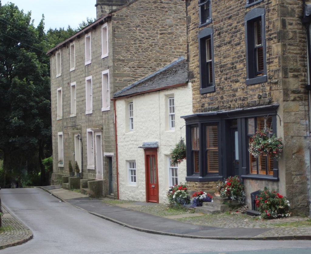
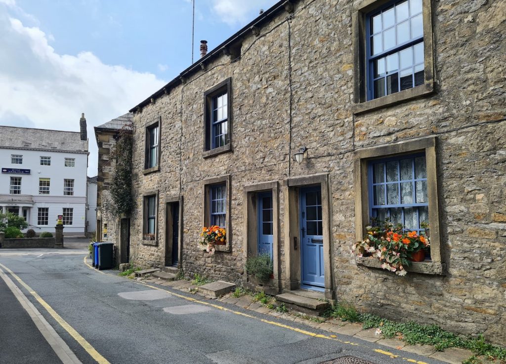
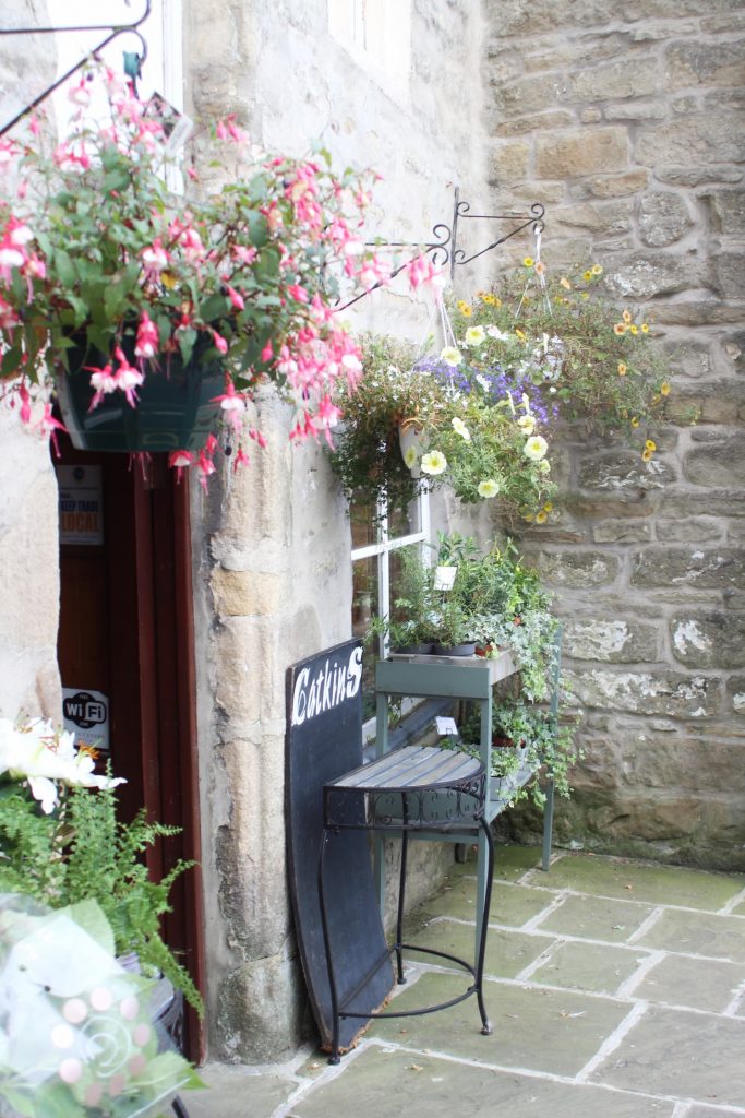
We had a wander around Settle and had a cream tea at The Old Naked Man Cafe – with a name like that, we couldn’t really go anywhere else!

This walk from Settle to Long Preston is definitely one to do, and you can also incorporate a trip to Scalebor Force waterfall as it’s not far from the route we walked. For more walks in Yorkshire, why not follow the blog or check out my Pinterest board which is full of beautiful walks in Yorkshire to do with kids or without!


Here’s a map of the walk.

Car Parking: Greenfoot Car Park, Settle

Distance: Approx 7.5km

Bus Stop: Near Rohan, Long Preston. Catch the 580 to Settle from Long Preston, Maypole Green.


Tap to share with your hiking friends!

  • Facebook
  • Email
  • WhatsApp
« Sunset at West Nab Trig Point | 1 Mile
Peak District Trig Point List »

RELATED POSTS

  • A view from inside Thor's Cave looking out across the valleyThor’s Cave Walk | 6.5 Miles
  • Boots Folly, a small castle like structureDerwent Edge, Derwent Moors and Boots Folly | 8.5 Miles
  • Wetton Hill walk routeWetton Hill, Narrowdale Hill and Gratton Hill Circular | 7 Miles
  • Hathersage Stepping StonesHathersage Stepping Stones Walk | 7 Miles

Leave a Reply Cancel reply

Your email address will not be published. Required fields are marked *

FIND YOUR NEXT WALK:

ABOUT ME

Y Garn with Kids - Y Garn via the Devil's Kitchen Walk in Ogwen Valley

Hello! I’m Jo! Welcome to The Wandering Wildflower, an outdoors lifestyle blog focusing on family walks in the Peak District, a place we love exploring. I want to share the Peak District hidden gems and show you there’s so much more than the honeypot places. When I’m not dragging my husband and now 11 year old out on Peak District walks or up mountains, I can be found on planning my next moorland walk or plotting a Geocache walk (and seeing where the nearest pub is!). I love the hills but hate the heights, so trig bagging is – er- fun!


I hope this blog will give you some ideas of places to visit in the Peak District and inspire you and your family to head into the great outdoors.  Thanks for stopping by!

CATEGORIES

  • CIRCULAR WALKS (189)
  • HOLMFIRTH WALKS (27)
  • ISLE OF SKYE WALKS (3)
  • LAKE DISTRICT WALKS (24)
  • LANCASHIRE WALKS (2)
  • LONG PEAK DISTRICT WALKS 10 MILES + (42)
  • MEDIUM WALKS 4-9 MILES (137)
  • PEAK DISTRICT SCRAMBLES (16)
  • PEAK DISTRICT WALKS (205)
  • PEAK DISTRICT WALKS WITH KIDS (76)
  • PEAK DISTRICT WALKS WITH PUBS (60)
  • SCOTLAND WALKS (6)
  • SHORT WALKS UNDER 3 MILES (40)
  • SNOWDONIA WALKS (5)
  • UK CAMPING (5)
  • YORKSHIRE WALKS (33)

Peak District Walks

List of Peak District Ethels

Peak District Peak Bagging

Peak District Trig Point Challenge

Peak District Walks with Pubs

Peak District Walks with Kids

Beautiful Walks in Holmfirth

Short Walks in the Peak District

Long Walks in the Peak District

AFFILIATE DISCLOSURE

This blog may contain affiliate links through which, at no additional cost to you, I may earn a small commission. I only recommend products I would use myself and all opinions expressed here are my own. As an Amazon Associate I earn from qualifying purchases. Read full privacy policy here.

ARCHIVES

PEAK DISTRICT WEATHER

Peak District mountain weather on Met Office

Peak District Trig Points

Promo image for a blog post about the Peak District Trig Point Challenge With Map of Peak District Trig Points and Walking Routes by The Wandering Wildflower

Peak District Ethels Challenge

Promo image for a blog post about the Peak District Trig Point Challenge With Map of Peak District Ethels and Walking Routes by The Wandering Wildflower

WALKING ROUTES STRAIGHT TO YOUR INBOX

Want new walks in your inbox? Drop your email below and I'll send you some ideas for walks you can try.

You can unsubscribe anytime. For more details, review our Privacy Policy.

Thank you!

You have successfully joined our subscriber list.

RSS LATEST POSTS

  • How to Find Three Shires Head
  • Burnbank Fell, Blake Fell and Gavel Fell | 8 Miles
  • Bretton Park Circular Walk | 3 Miles
  • Hathersage Stepping Stones Walk | 7 Miles
  • Peak District Caves

FOLLOW ON PINTEREST

Want new walks in your inbox? Drop your email below and I'll send you some ideas for walks you can try.

You can unsubscribe anytime. For more details, review our Privacy Policy.

Thank you!

You have successfully joined our subscriber list.

jo@thewanderingwildflower.co.uk

The Wandering Wildflower

  • Email
  • Facebook
  • Instagram
  • Pinterest
  • PRIVACY POLICY
  • TERMS & CONDITIONS
  • ABOUT

(c) The Wandering Wildflower. All Rights Reserved.

|| THEME BY ECLAIR DESIGNS