• 3 Mile Walks or Less
  • 4 Mile Walks
  • 5 Mile Walks
  • 6 Mile Walks
  • 7 Mile Walks
  • 8 Mile Walks
  • 9 Mile Walks
  • 10 Mile Walks
  • 11 Mile Walks
  • 12 Mile Walks
  • 14 Mile Walks
  • 15 Mile Walks
  • 20+ Mile Walks

The Wandering Wildflower

Peak District Hikes

  • PEAK DISTRICT WALKS
    • SHORT WALKS UNDER 3 MILES
    • MEDIUM WALKS 4-9 MILES
    • LONG PEAK DISTRICT WALKS 10 MILES +
  • PEAK DISTRICT WALKS WITH PUBS
  • PEAK DISTRICT WALKS WITH KIDS
  • HOLMFIRTH WALKS

Whernside Circular Walk – Yorkshire Three Peaks with Kids | 9 Miles

January 25, 2022 MEDIUM WALKS 4-9 MILES, YORKSHIRE WALKS

We’d set ourselves a challenge of completing the Yorkshire 3 Peaks with our little girl this year. If you are looking at whether to take on any of the Yorkshire 3 Peaks with kids, here’s our Whernside circular route, taking in Force Gill waterfall too.

Force Gill Waterfall near Whernside

Force Gill Waterfall near Whernside

Earlier in the year we walked Pen-y-ghent and Ingleborough with Holly, who’s 9. After our soaking wet, freezing cold, hailstone drenched Ingleborough walk Holly said she didn’t want to climb any more mountains this year but the thought of not completing the set began to eat away at me a bit. Did I mention before I’m a bit of a collector?


Checking the weather for the New Year, it seemed New Years Day would be the best bet so we decided to go then. After all, that wasn’t the same year as Ingleborough so Hols was happy. The weather changed though, and New Years Eve seemed way better. After a bit of bribery (thank you Haribo) she agreed to us going up on New Years Eve. Wahoo!


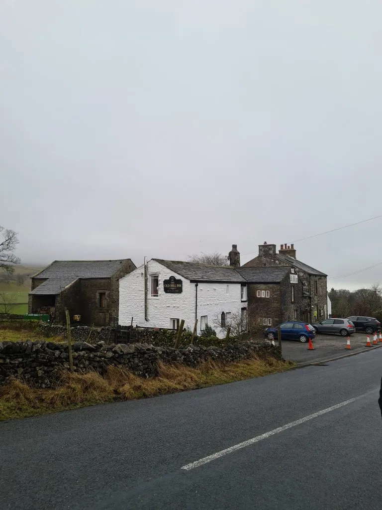
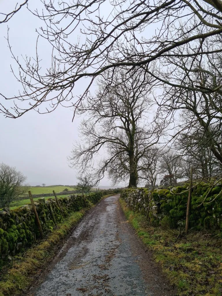
We parked up at The Old Hill Inn (sadly this is closed) and headed out along Philpin Lane, past Philpin Farm where they have an honesty shop and customer toilets.

The Old Hill Inn, Chapel le Dale Near Whernside

The Old Hill Inn, Chapel le Dale Near Whernside

Track to Philpin Farm

Track to Philpin Farm

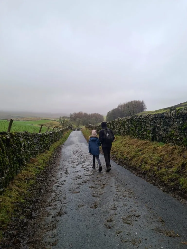
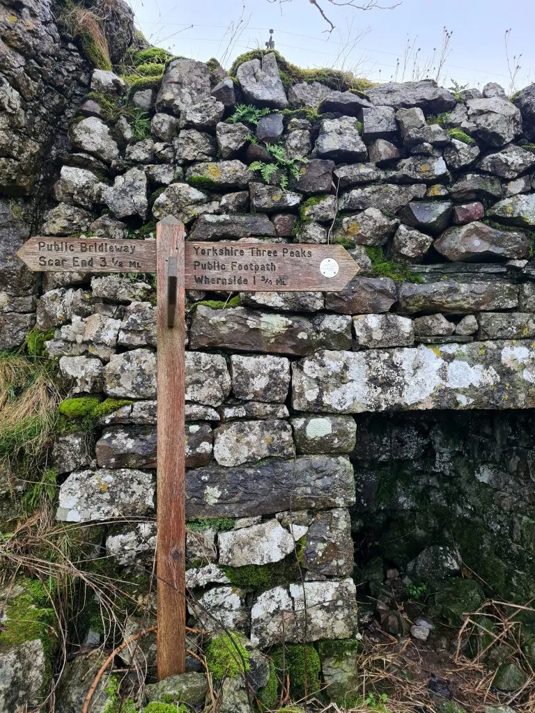
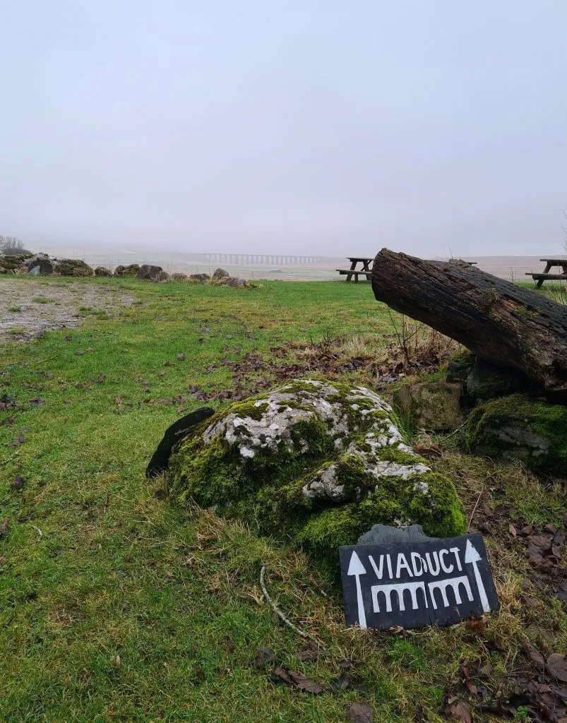
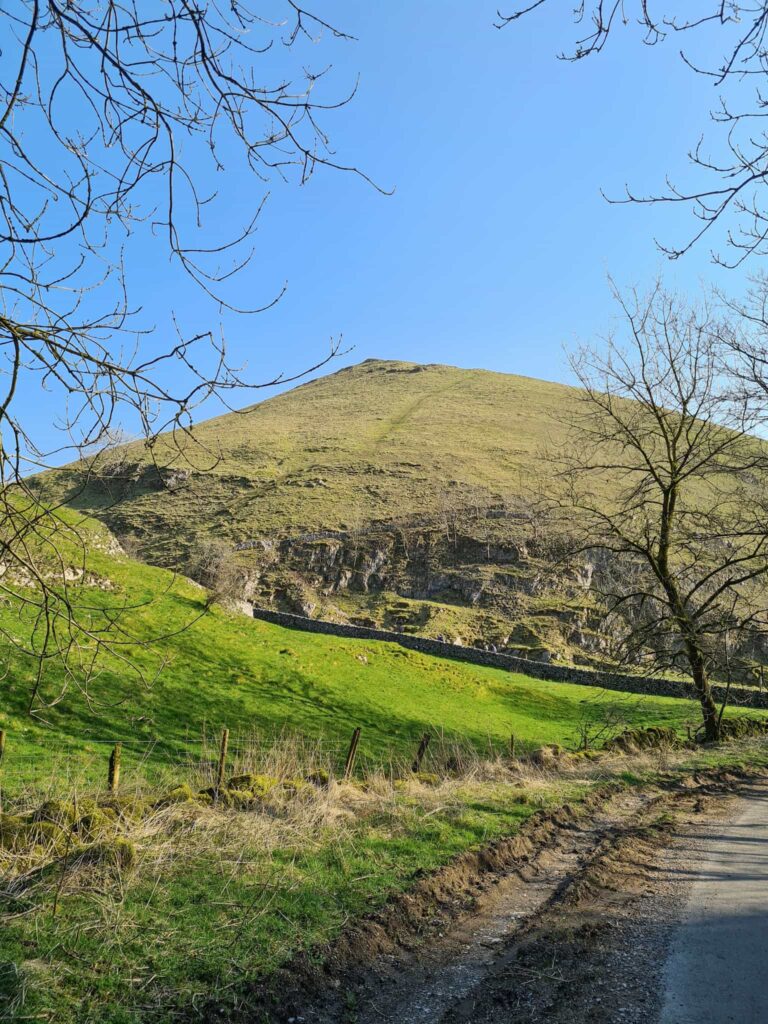
Follow the lane along, past the woods. The footpath heads next to a farmyard, and you’ll see signposts showing the way to Whernside. You can get lovely views over to the Ribblehead Viaduct from here – to be fair, this was all we saw of the viaduct as we had zero views at the top of Whernside!


The footpath becomes “The Pennine Journey” and starts to climb steadily up the hillside. This part is quite steep but gets steeper as you get nearer the top, passing through the gate. It was really windy when we climbed up as well, making it even more difficult.


Signpost to Whernside

Signpost to Whernside

Footpath to Whernside

Steps leading up to Whernside

Gate on the side of Whernside

Where the climb starts to get steep!

Blue/grey stones forming the path to Whernside

Blue/grey stones forming the path to Whernside


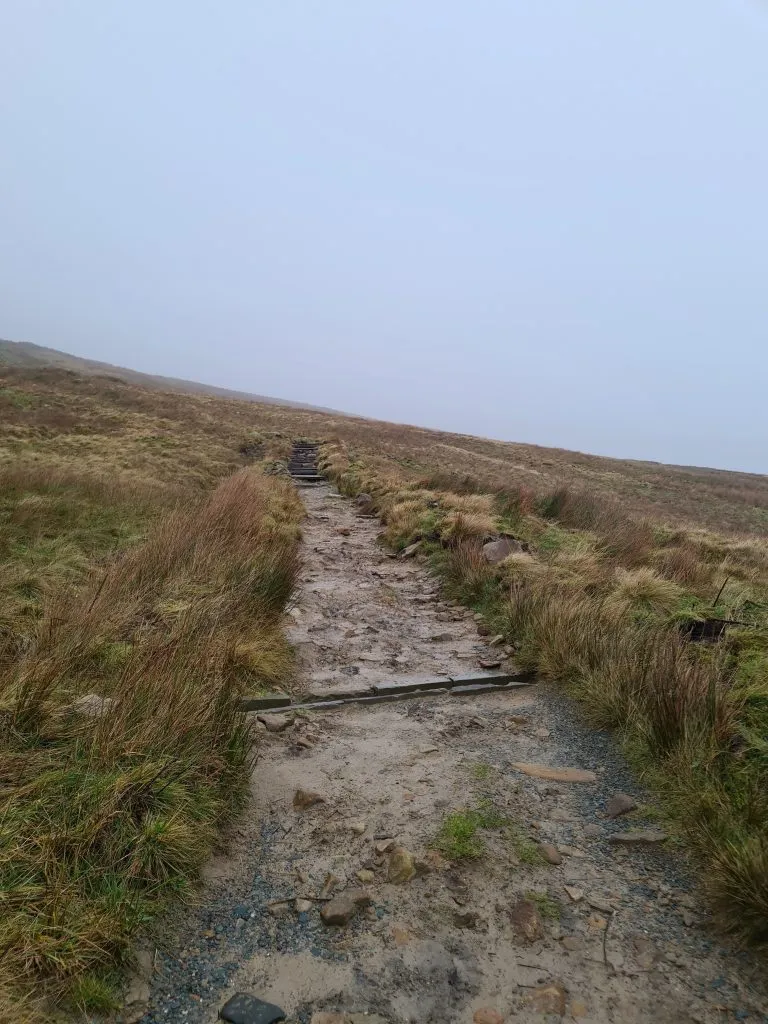
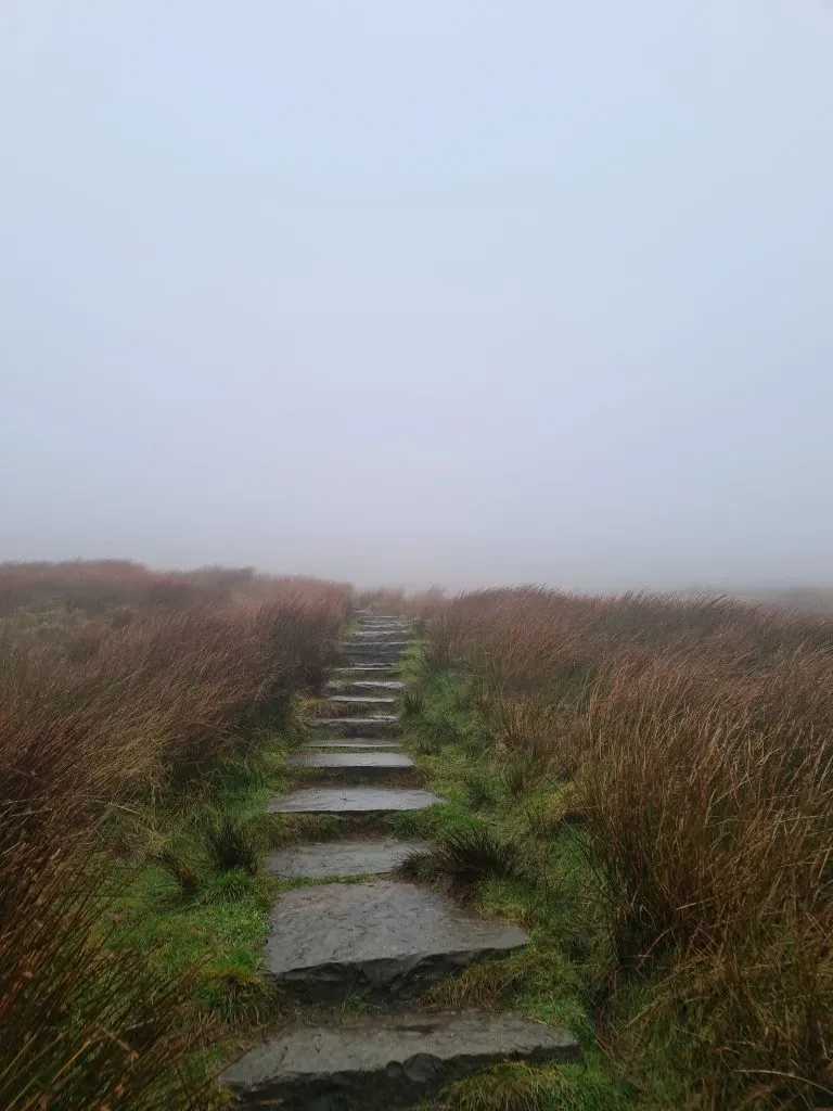
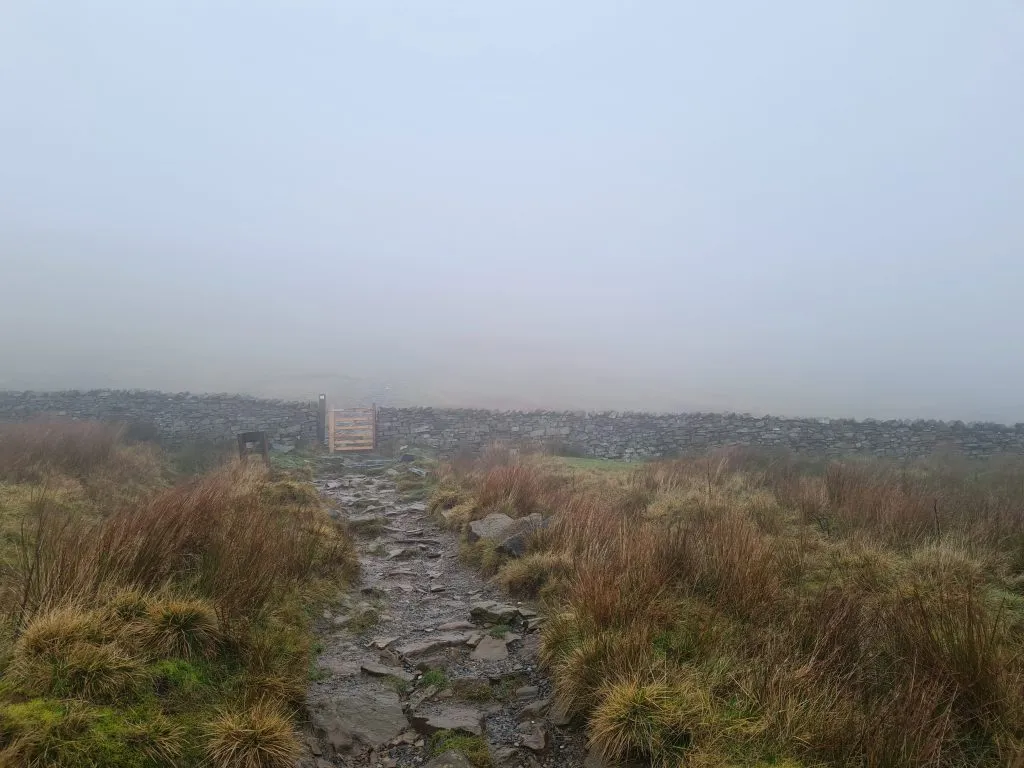
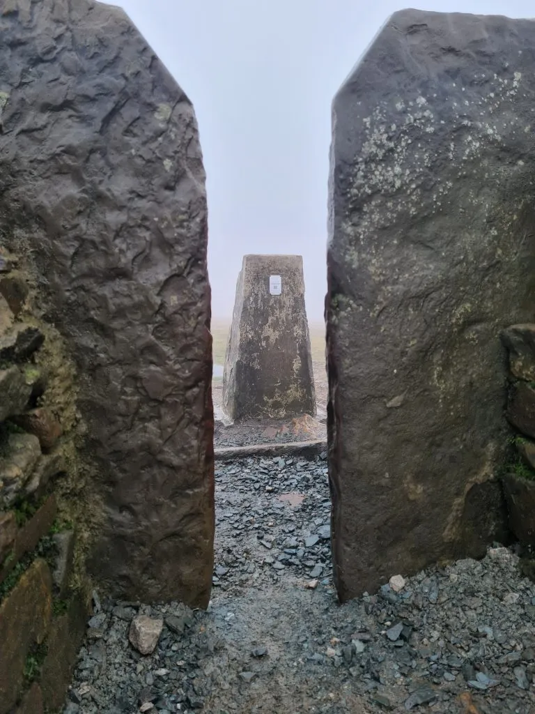
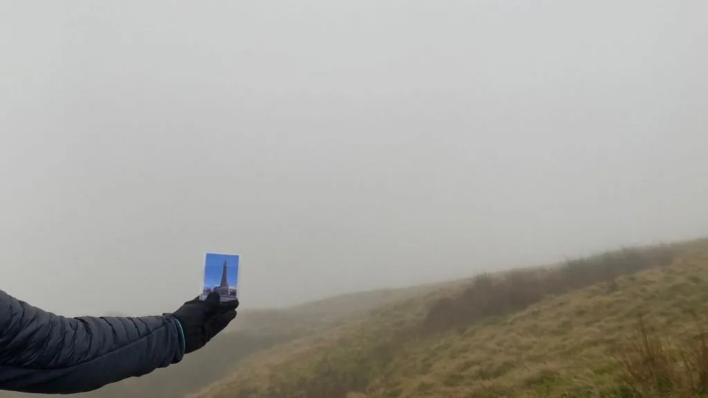
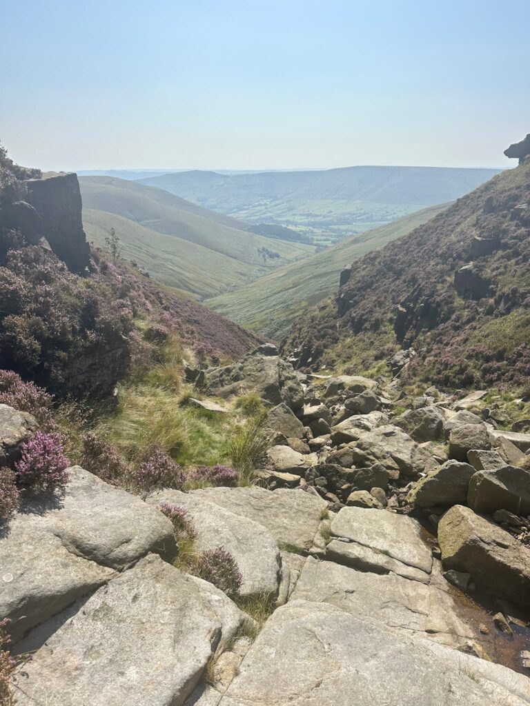
The path turns to the north and the climb becomes slightly more gentle as you walk along the ridge to the summit. The summit of Whernside is marked by a curved stone shelter and a trig point (which looks like it has seen better days!). The views from here are meant to be spectacular but we didn’t see anything (other than Blackpool Tower)!


Whernside Trig Point in the mist

Whernside Trig Point in the mist

Whernside Trig Point in the mist

Whernside Trig Point

Whernside Trig Point in the mist

Whernside Trig Point with poor visibility


Whernside Trig Point

Whernside Trig Point

A hand holding a small picture of Blackpool Tower with a misty backdrop

Views of Blackpool Tower from Whernside

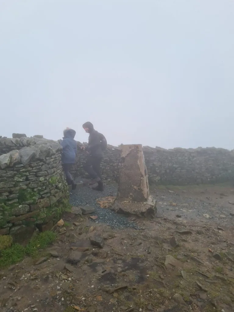
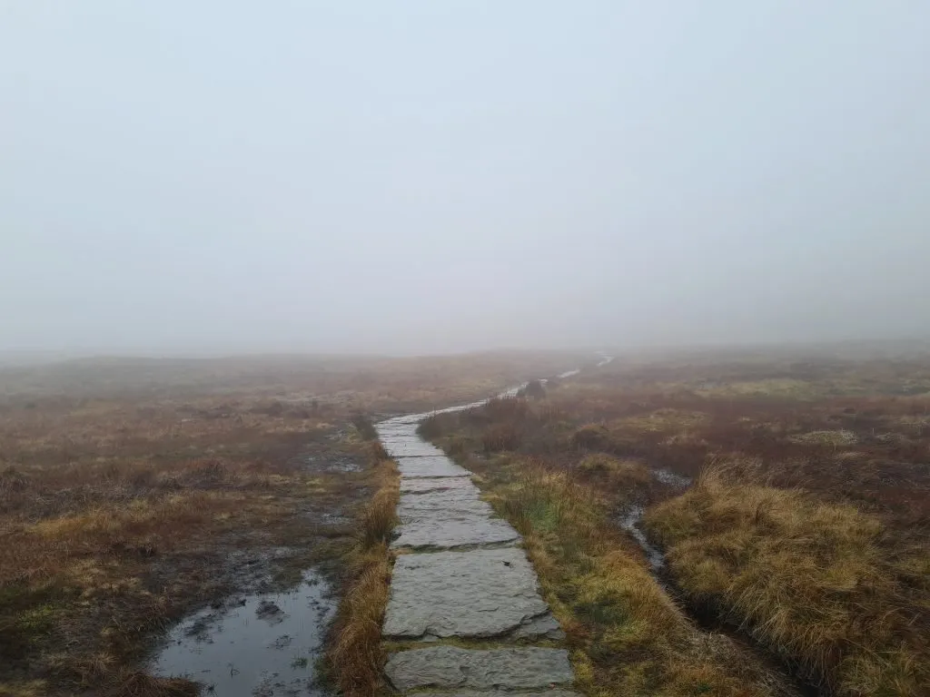
After we’d taken the trig photos and had a quick snack in the shelter, we carried on along the ridge of Whernside. The paved path starts to descend down the hillside and you’ll come to a stile. Over the stile the path becomes the Dales High Way, next to Force Gill Ridge.

Path down Whernside

Path down Whernside

Stile to the Dales High Way

Stile to the Dales High Way

Moorland near Whernside

Moorland near Whernside

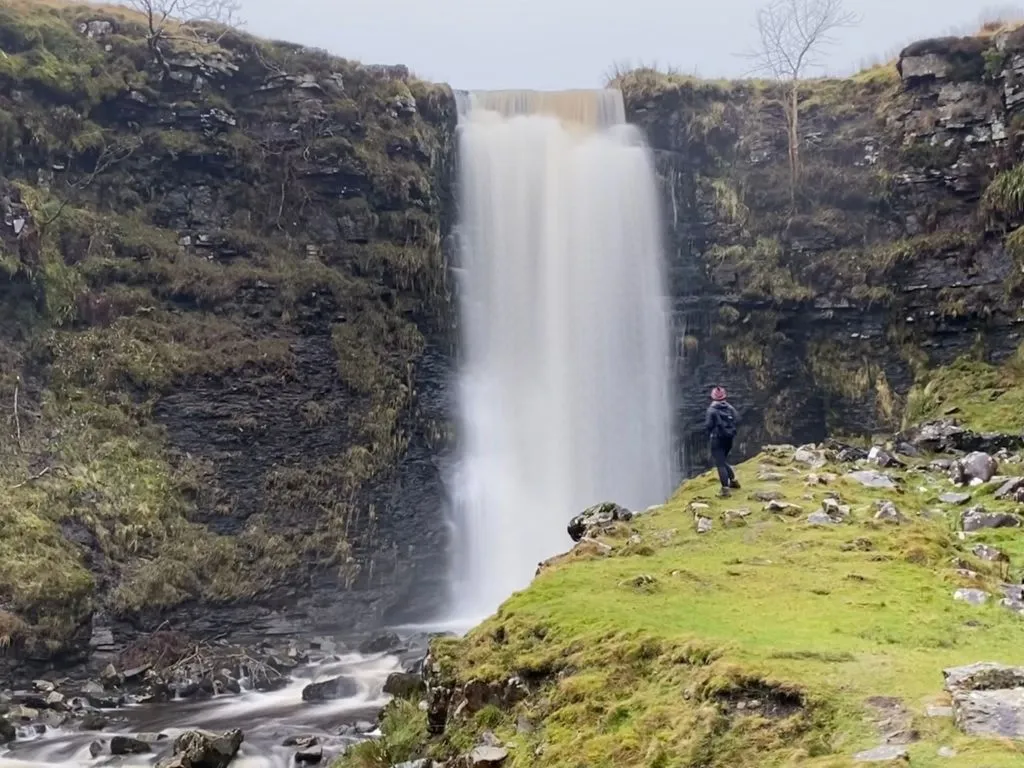
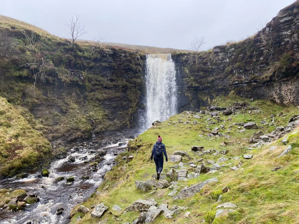
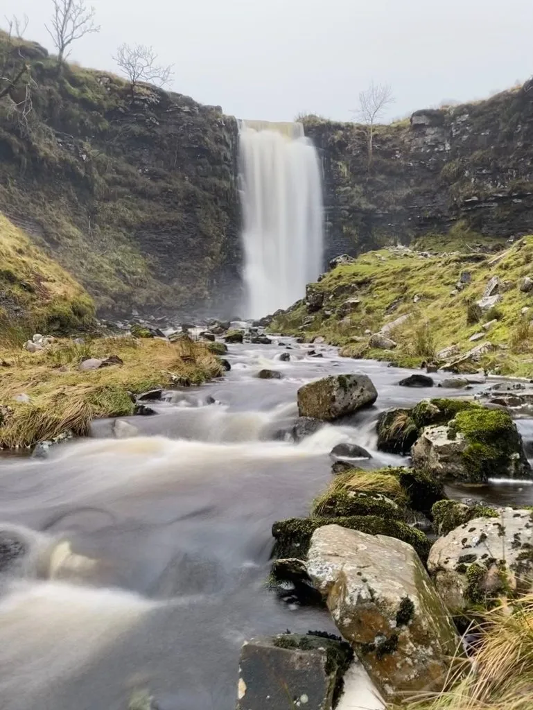
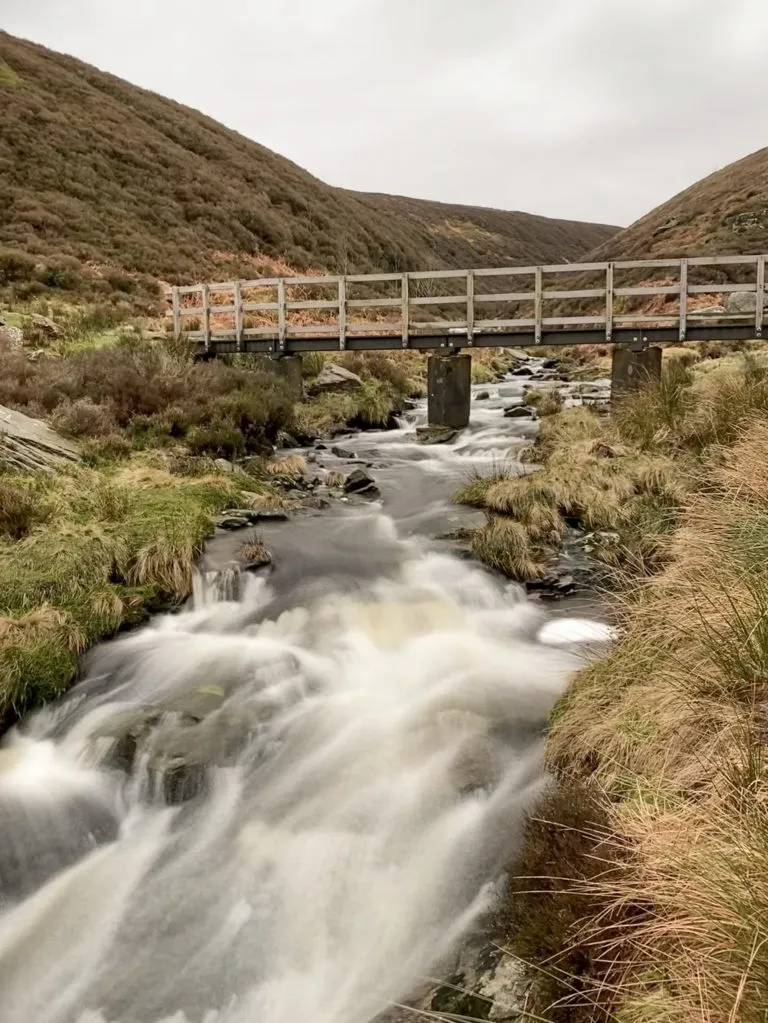
Following this path for about 600-700m, if you look behind you, you can see the stunning waterfall of Force Gill. We were lucky to see it after heavy rains and it was really spectacular. You can access the waterfall by passing over the stile and turning back on yourself to follow a faint path to the waterfall. It’s quite steep sided to take care when visiting.

Force Gill waterfall near Whernside

Force Gill waterfall near Whernside

Force Gill waterfall near Whernside

My husband discovered he could take these long exposure style photos on his iPhone!

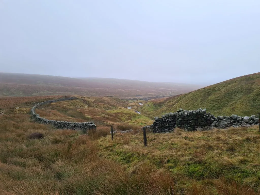
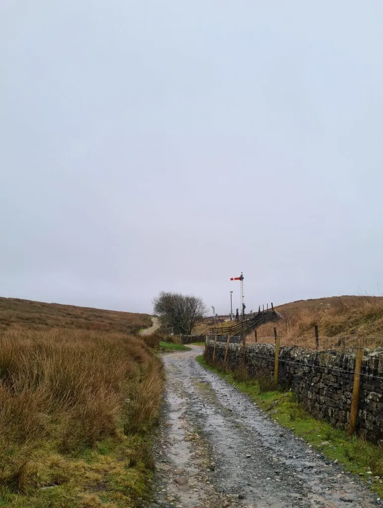
Heading back onto the main path, you pass over the Aqueduct and alongside the railway line to Blea Moor signal box and railway sidings.

Aqueduct near Whernside

Aqueduct near Whernside

Railway signals near Whernside

Railway signals near Whernside

Rock formations with a misty Whernside in the background

Rock formations with a misty Whernside in the background


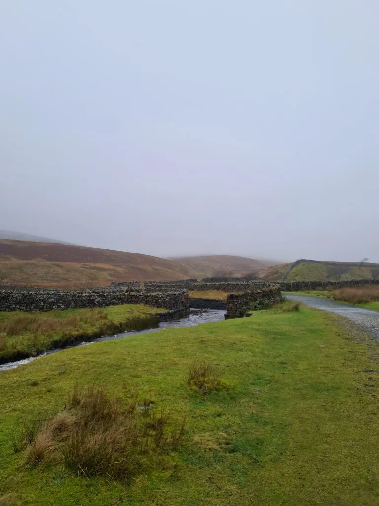
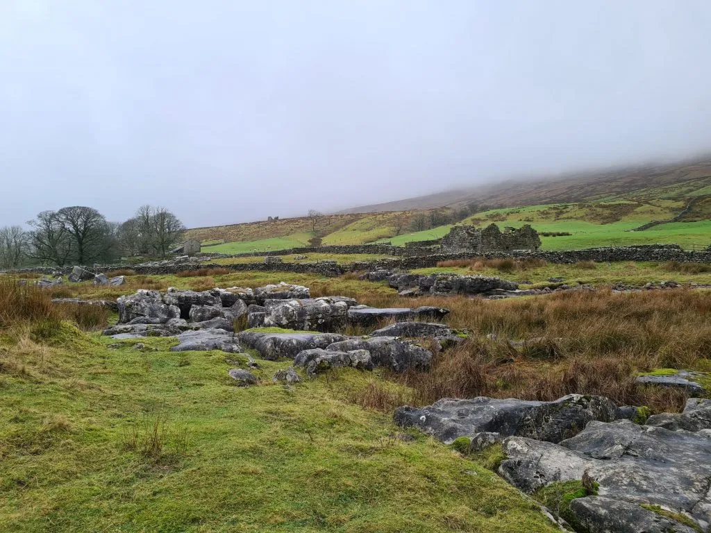
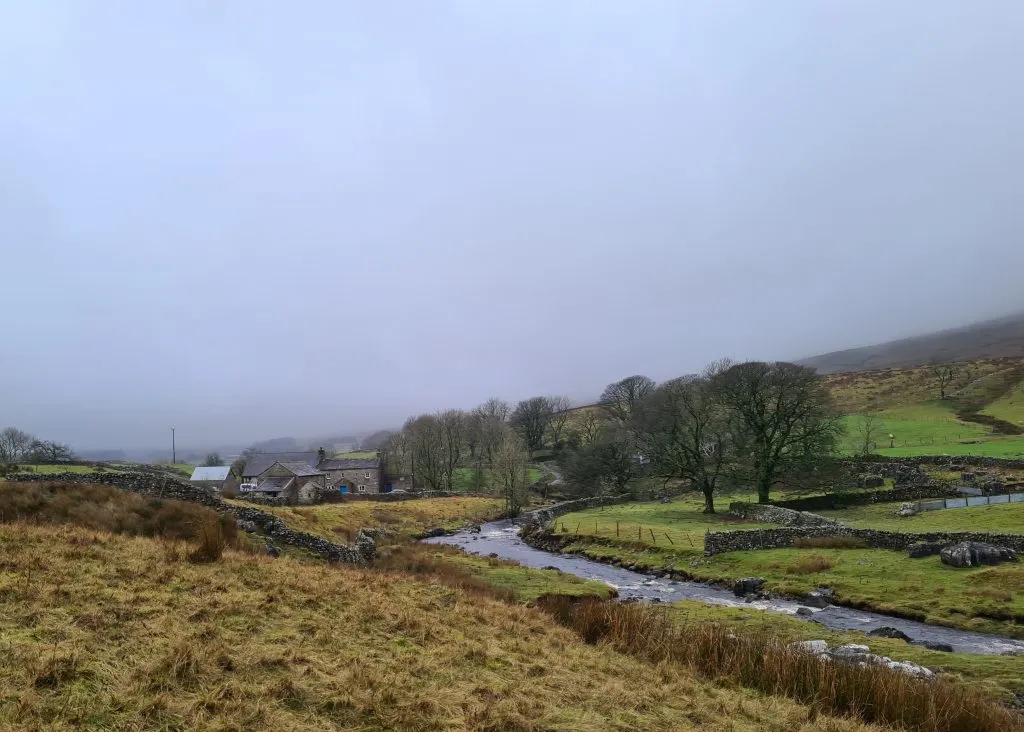
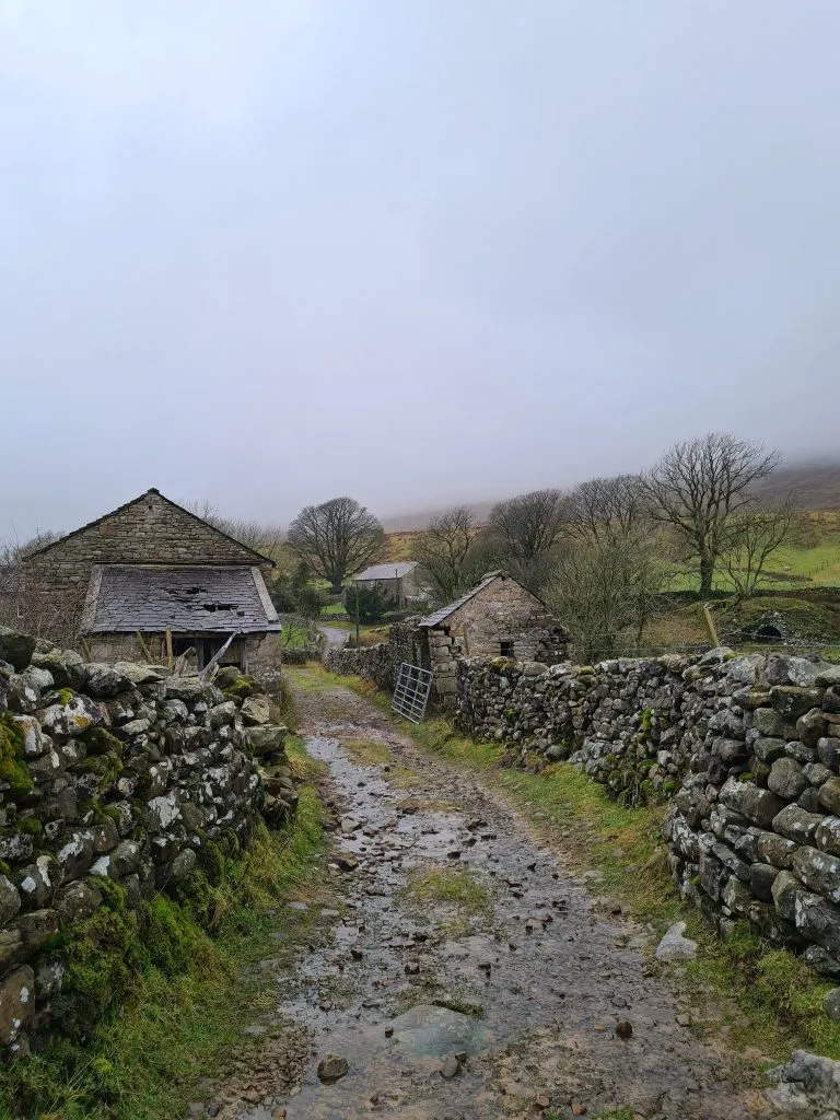
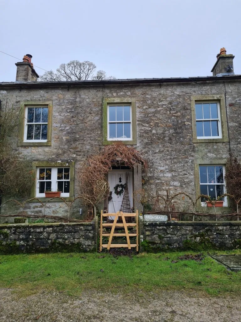
Head under the railway bridge, and follow the path through the farmyard and over the little bridge.  The footpath heads through another farmyard and it’s quite tricky to see! You’ll pass through the fields near the Broadrake Bunkhouse and then back to the spot where the climb up Whernside started.


Farm track in the Yorkshire Dales

Country lane in the Yorkshire Dales

Ribblehead Viaduct in the mist with a sign saying Viaduct

Ribblehead Viaduct in the mist with a sign saying Viaduct


Farmhouse in the Yorkshire Dales with a Christmas wreath

Broadrake Bunkhouse near the Ribblehead Viaduct and Whernside

Retrace your steps back to the main road and the car. As the pub was shut we headed into Ingleton for a late lunch.


This blog may contain affiliate links through which, at no additional cost to you, I may earn a small commission. I only recommend products I would use myself and all opinions expressed here are my own. Read full privacy policy here.


As with all hikes with kids, it’s definitely a good idea to be prepared and take plenty of snacks, layers, waterproofs, first aid kit and water. I’d definitely recommend getting proper walking boots – Holly has The North Face Chilkat ones and they’re brilliant. They keep her feet warm and dry, and offer her feet plenty of support over rocky terrain. It would be a miserable walk in wet boots or wellies.


People often ask which of the Yorkshire 3 Peaks is easiest, and in our view it’s Whernside. Whilst it’s the biggest, it’s more of a gentle climb without the scrambly sections of Ingleborough or Pen-y-ghent.


Will you be trying the Yorkshire 3 Peaks with kids or this Whernside circular hike? Let me know in the comments!


Here’s the route for this Whernside circular walk:

Route Map: Click the map to download the gpx file to your device.

Parking: Limited parking in the lay-by near The Old Hill Inn.

Facilities: There is an honesty shop with customer toilets at Philpin Farm. They also sell dry socks, which is good to know if you tackle this on a wet day!

Difficulty: ▲▲▲

Walk Time: 3-4 hours

Terrain: Road, rocky paved paths and fords to cross. Be sure to wear appropriate footwear.

Distance: 9 miles (14.5km) approximately


Tap to share with your hiking friends!

  • Facebook
  • Email
  • WhatsApp
« Mam Tor and Rushup Edge Circular Walk | 8 Miles
How to Find The Trinnacle at Dove Stone | 5 Miles »

RELATED POSTS

  • Dead Edge End Trig Point - Peak District Trig Point Checklist - The Wandering Wildflower - Moorland Walks in the Peak DistrictBritland Edge Hill and Dead Edge End Walk | 5.5 Miles
  • Kirk Edge trig point - The Wandering WildflowerKirk Edge Trig Point | 4 Miles
  • Yorkshire Dales Walk from Settle to Long Preston | 5 Miles
  • Croker Hill and Bosley Reservoir | 5 Miles

Comments

  1. Kathryn Mchugh says

    March 1, 2025 at 11:07 am

    Hoping to do this walk Monday

    Reply
    • Jo says

      March 4, 2025 at 12:27 pm

      I hope you had a lovely day on the hills!

      Reply

Leave a Reply Cancel reply

Your email address will not be published. Required fields are marked *

FIND YOUR NEXT WALK:

ABOUT ME

Y Garn with Kids - Y Garn via the Devil's Kitchen Walk in Ogwen Valley

Hello! I’m Jo! Welcome to The Wandering Wildflower, an outdoors lifestyle blog focusing on family walks in the Peak District, a place we love exploring. I want to share the Peak District hidden gems and show you there’s so much more than the honeypot places. When I’m not dragging my husband and now 11 year old out on Peak District walks or up mountains, I can be found on planning my next moorland walk or plotting a Geocache walk (and seeing where the nearest pub is!). I love the hills but hate the heights, so trig bagging is – er- fun!


I hope this blog will give you some ideas of places to visit in the Peak District and inspire you and your family to head into the great outdoors.  Thanks for stopping by!

CATEGORIES

  • CIRCULAR WALKS (189)
  • HOLMFIRTH WALKS (27)
  • ISLE OF SKYE WALKS (3)
  • LAKE DISTRICT WALKS (26)
  • LANCASHIRE WALKS (2)
  • LONG PEAK DISTRICT WALKS 10 MILES + (42)
  • MEDIUM WALKS 4-9 MILES (137)
  • PEAK DISTRICT SCRAMBLES (16)
  • PEAK DISTRICT WALKS (206)
  • PEAK DISTRICT WALKS WITH KIDS (76)
  • PEAK DISTRICT WALKS WITH PUBS (60)
  • SCOTLAND WALKS (6)
  • SHORT WALKS UNDER 3 MILES (40)
  • SNOWDONIA WALKS (5)
  • UK CAMPING (5)
  • YORKSHIRE WALKS (33)

Peak District Walks

List of Peak District Ethels

Peak District Peak Bagging

Peak District Trig Point Challenge

Peak District Walks with Pubs

Peak District Walks with Kids

Beautiful Walks in Holmfirth

Short Walks in the Peak District

Long Walks in the Peak District

AFFILIATE DISCLOSURE

This blog may contain affiliate links through which, at no additional cost to you, I may earn a small commission. I only recommend products I would use myself and all opinions expressed here are my own. As an Amazon Associate I earn from qualifying purchases. Read full privacy policy here.

ARCHIVES

PEAK DISTRICT WEATHER

Peak District mountain weather on Met Office

Peak District Trig Points

Promo image for a blog post about the Peak District Trig Point Challenge With Map of Peak District Trig Points and Walking Routes by The Wandering Wildflower

Peak District Ethels Challenge

Promo image for a blog post about the Peak District Trig Point Challenge With Map of Peak District Ethels and Walking Routes by The Wandering Wildflower

WALKING ROUTES STRAIGHT TO YOUR INBOX

Want new walks in your inbox? Drop your email below and I'll send you some ideas for walks you can try.

You can unsubscribe anytime. For more details, review our Privacy Policy.

Thank you!

You have successfully joined our subscriber list.

RSS LATEST POSTS

  • How to Find Three Shires Head
  • Peak District Pub Walks
  • Burnbank Fell, Blake Fell and Gavel Fell | 8 Miles
  • Bretton Park Circular Walk | 3 Miles
  • Grasmere Weekend Break

FOLLOW ON PINTEREST

Want new walks in your inbox? Drop your email below and I'll send you some ideas for walks you can try.

You can unsubscribe anytime. For more details, review our Privacy Policy.

Thank you!

You have successfully joined our subscriber list.

jo@thewanderingwildflower.co.uk

The Wandering Wildflower

  • Email
  • Facebook
  • Instagram
  • Pinterest
  • PRIVACY POLICY
  • TERMS & CONDITIONS
  • ABOUT

(c) The Wandering Wildflower. All Rights Reserved.

|| THEME BY ECLAIR DESIGNS