Loughrigg Fell and Rydal Cave Walk | 3 Miles
This 3 mile walk is a brilliant taster of everything the Lake District does best, all packed into a route short enough to fit into an afternoon. Starting out near Rydal, the walk climbs up onto Loughrigg Fell, taking in some amazing views over Rydal Water and Grasmere before dropping down to explore Rydal Cave, a huge man-made cavern carved out by quarrying. It’s a route that has a lot to offer in such a short distance.
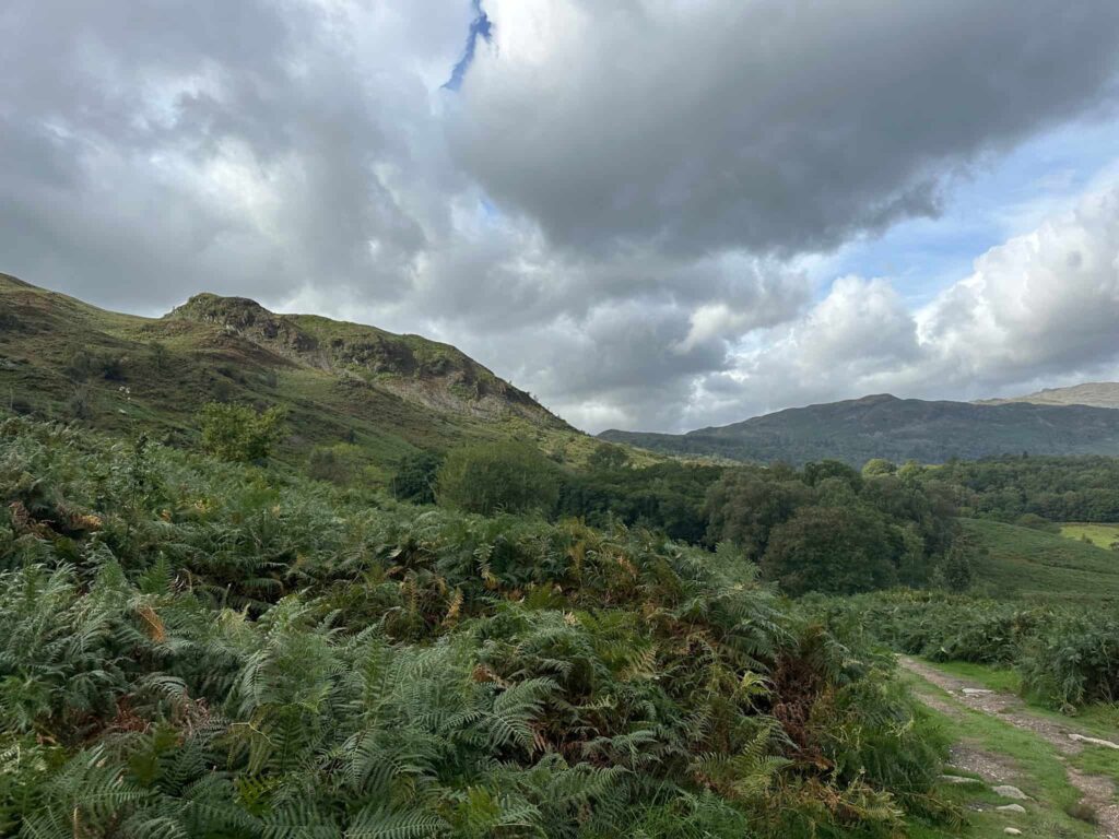
Walk Overview
- Distance: A short but rewarding 3 mile circular walk
- Starting point: White Moss car park, on the A591 between Grasmere and Rydal Water
- Parking: Pay and display at White Moss car park, which can fill up quickly at busy times
- Terrain: A mix of woodland paths, rocky and uneven ground on the ascent, and boggy patches after rain, so sturdy waterproof boots are a must
- Difficulty: A moderate climb up Loughrigg Fell followed by a gentler stretch down to Rydal Cave, suitable for most reasonably fit walkers
- Dogs: Dog-friendly, though dogs should be kept on a lead near livestock. The route uses Open Access Land so dogs need to be on a lead between 1 March and 31 July on the descent.
- Facilities: Coffee kiosk and toilets across the road, but plenty of options nearby in Ambleside, Grasmere and Rydal
- Best for: Walkers wanting big Lake District views and a bit of adventure without committing to a full day out
Route Highlights
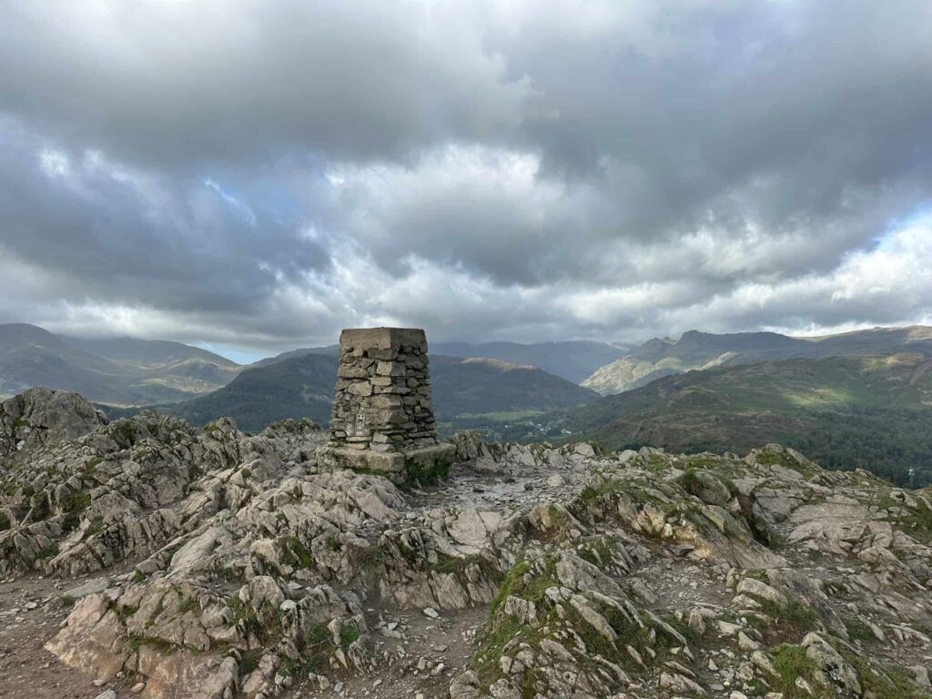
- Sweeping views over Rydal Water and Grasmere from the summit of Loughrigg Fell, marked by a trig point
- Ticking off one of the ‘easier’ Wainwright fell summits
- Rydal Cave itself, a vast cavern with its own pool and stepping stones, well worth taking a torch for
- A short but varied route mixing fell walking with woodland and lakeside paths
- Easy access from Ambleside or Grasmere, making it a great half-day walk for all abilities
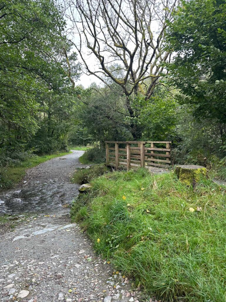
The walk starts from the car park at White Moss and follows well made paths through the woodland to a bridge over the River Rothay connecting Grasmere and Rydal Water. Over the bridge, we walked through the woodland to reach a large wooden gate.
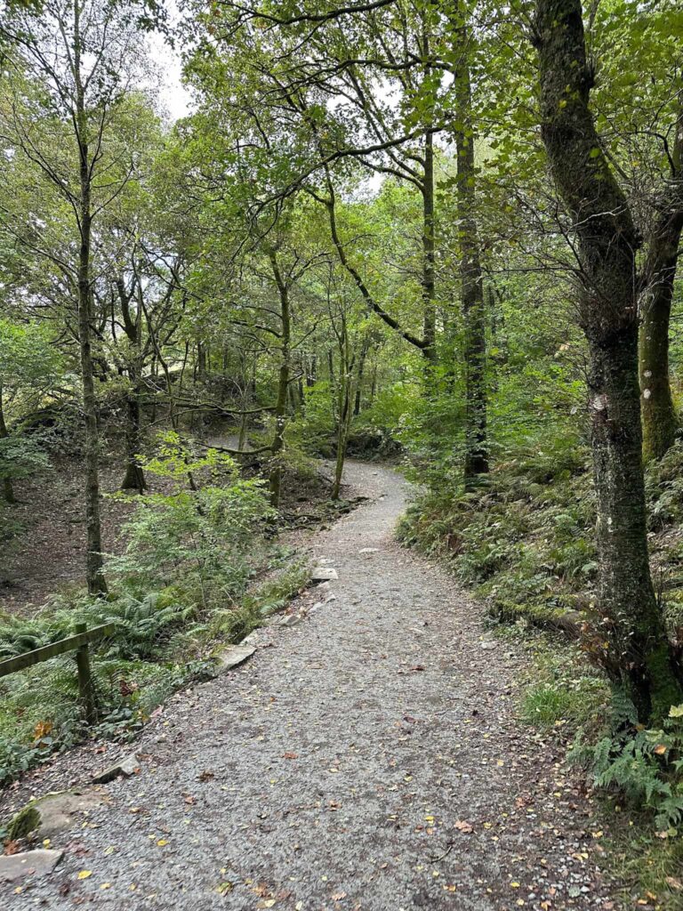
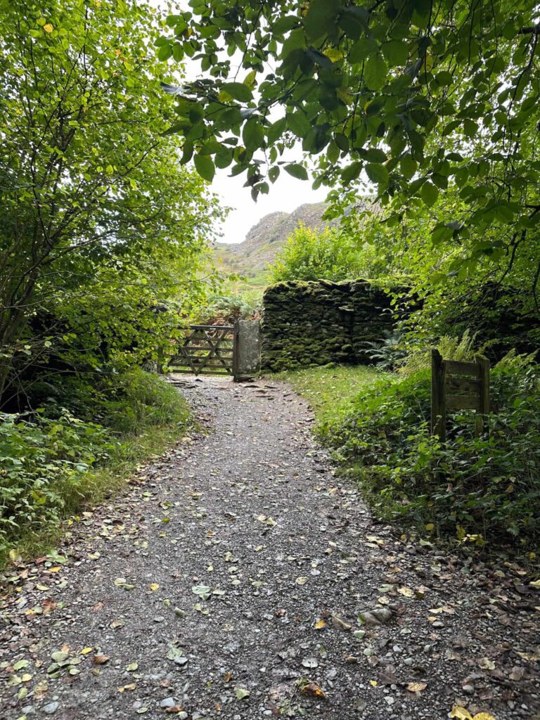
Here we turned right onto Loughrigg Terrace and followed the path as it climbs gently, stopping every so often to admire the views over Grasmere.
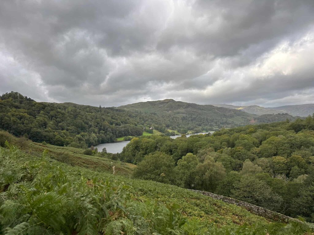
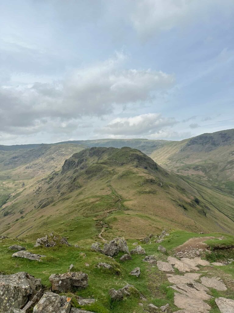
The route turns back on itself and starts to climb steeply up the hillside, with a mix of stone steps and rocky sections to tackle. There are a couple of small scrambly sections but nothing too precarious.
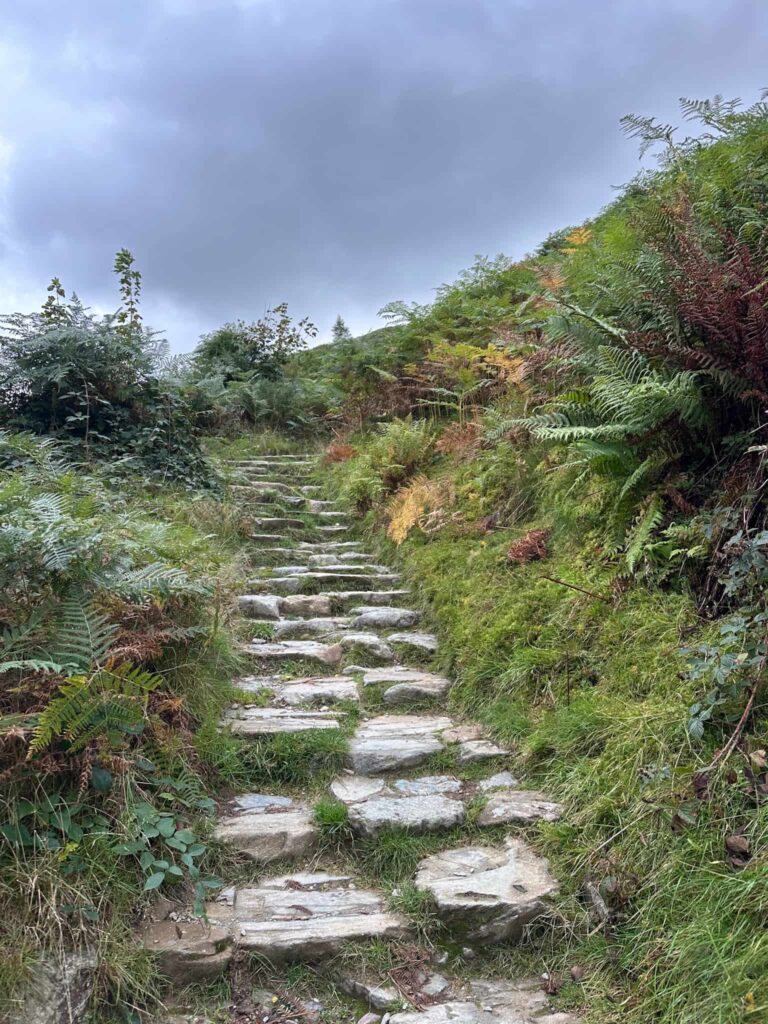
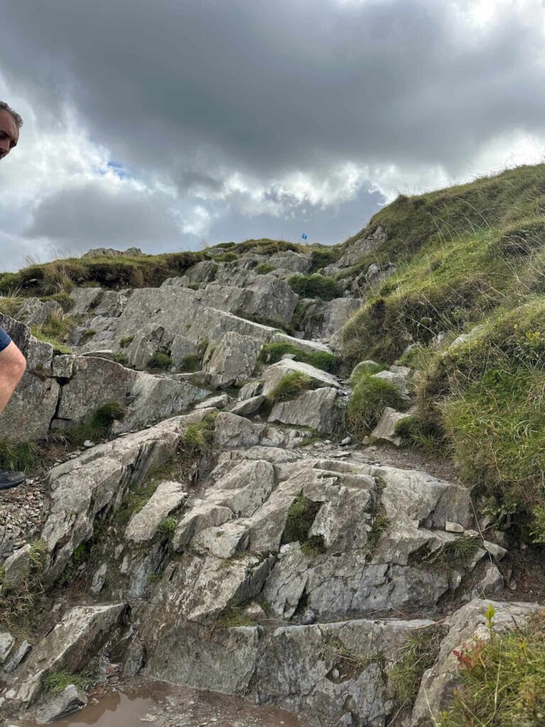
The summit of Loughrigg Fell is marked by a stone trig point at 335m, and it’s well worth the climb to admire the views from the top.
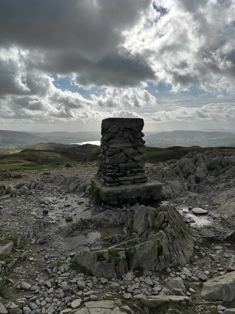
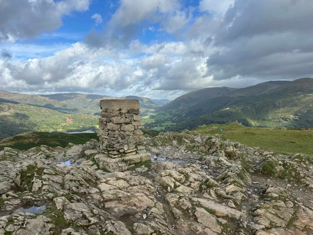
There are a few paths leaving the summit. We picked one heading south-east which then turns north-east and starts to descend the hillside. It’s very steep in places.
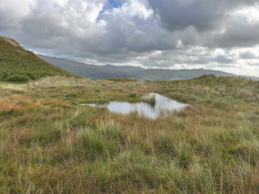
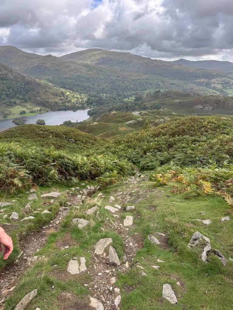
The route skirts the left hand side of Rydal Cave, which is well worth an explore. Rydal Cave is carved out of the north side of Loughrigg Fell. Although the cave looks natural it’s actually the result of slate quarrying which provided roofing slate to the surrounding villages. Look out for the fish in the water as you cross the stepping stones.
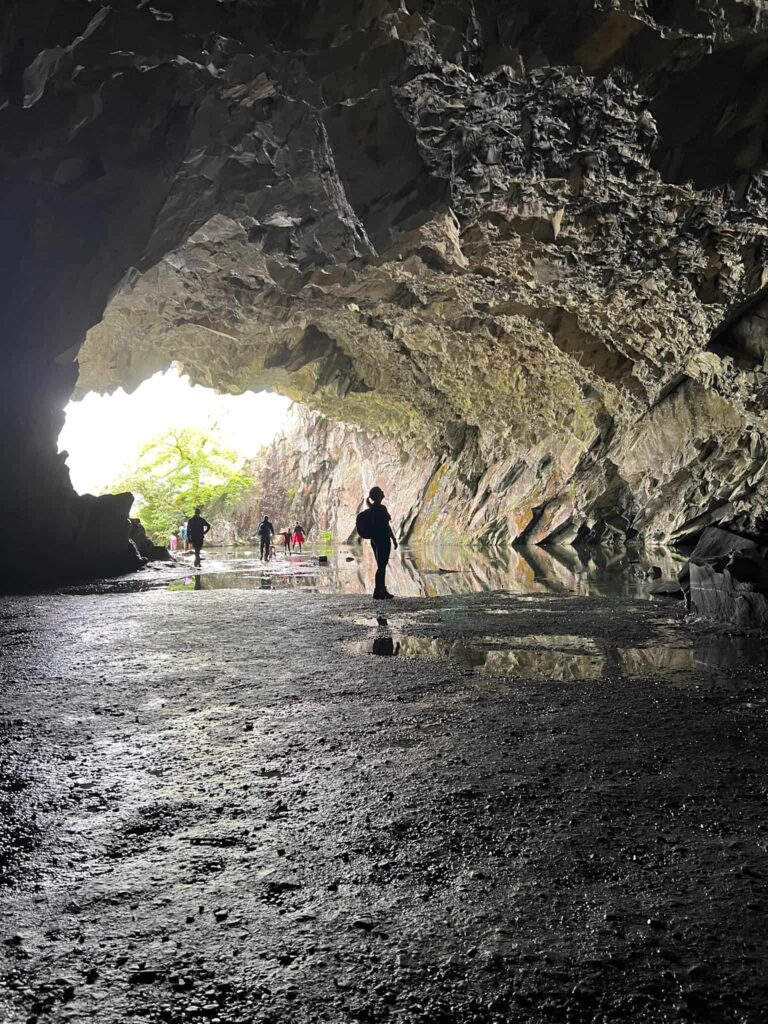
Leaving the cave, the path turns left and heads down the hillside, leading back to the wooden gate at the base of Loughrigg Terrace. We followed the path through the woods and over the bridge back to the car park.
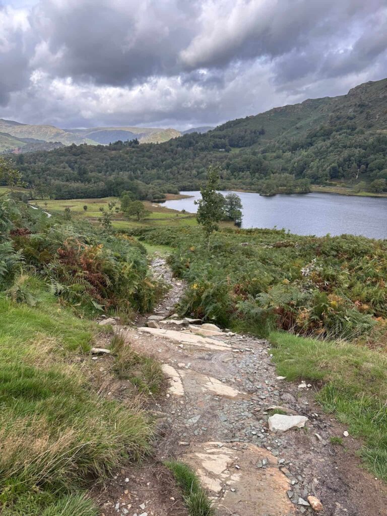
This was a great walk for a dry morning – the weather in the afternoon wasn’t forecast to be good so I’m glad we managed to get out and get another Wainwright ticked off.
Walk Map (Opens in OS Maps): Loughrigg Fell Walk Map
Parking: White Moss Car Park, Ambleside LA22 9SE | W3W:///puzzles.nametag.users pay and display.
Facilities: Toilets in White Moss Car Park and a coffee kiosk
Walk Time: 1-2 hours
Difficulty: ▲▲
Distance: 3.3 miles (5.3km)
Trig Points Bagged: Loughrigg Fell
Wainwrights Bagged: Loughrigg Fell
You might also like: