• 3 Mile Walks or Less
  • 4 Mile Walks
  • 5 Mile Walks
  • 6 Mile Walks
  • 7 Mile Walks
  • 8 Mile Walks
  • 9 Mile Walks
  • 10 Mile Walks
  • 11 Mile Walks
  • 12 Mile Walks
  • 14 Mile Walks
  • 15 Mile Walks
  • 20+ Mile Walks

The Wandering Wildflower

Peak District Hikes

  • PEAK DISTRICT WALKS
    • SHORT WALKS UNDER 3 MILES
    • MEDIUM WALKS 4-9 MILES
    • LONG PEAK DISTRICT WALKS 10 MILES +
  • PEAK DISTRICT WALKS WITH PUBS
  • PEAK DISTRICT WALKS WITH KIDS
  • HOLMFIRTH WALKS

Eccles Pike Walk via Sponds Hill and Black Hill | 12 Miles

June 13, 2022 CIRCULAR WALKS, LONG PEAK DISTRICT WALKS 10 MILES +, PEAK DISTRICT WALKS

This Peak District Ethels walk is 12 miles and starts from Whaley Bridge, before heading to Eccles Pike, Sponds Hill trig point and Black Hill (Whaley Moor) then back to Whaley Bridge along the canal.

View from Eccles Pike over Combs Reservoir towards Combs Edge

View from Eccles Pike over Combs Reservoir towards Combs Moss

This Eccles Pike walk includes some steep climbs and some off path sections, especially up Black Hill which is quite boggy near the top.

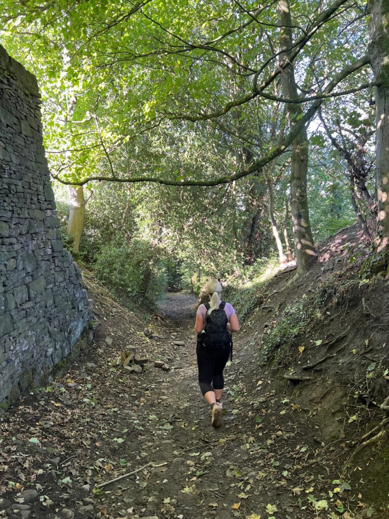
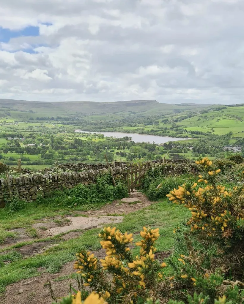
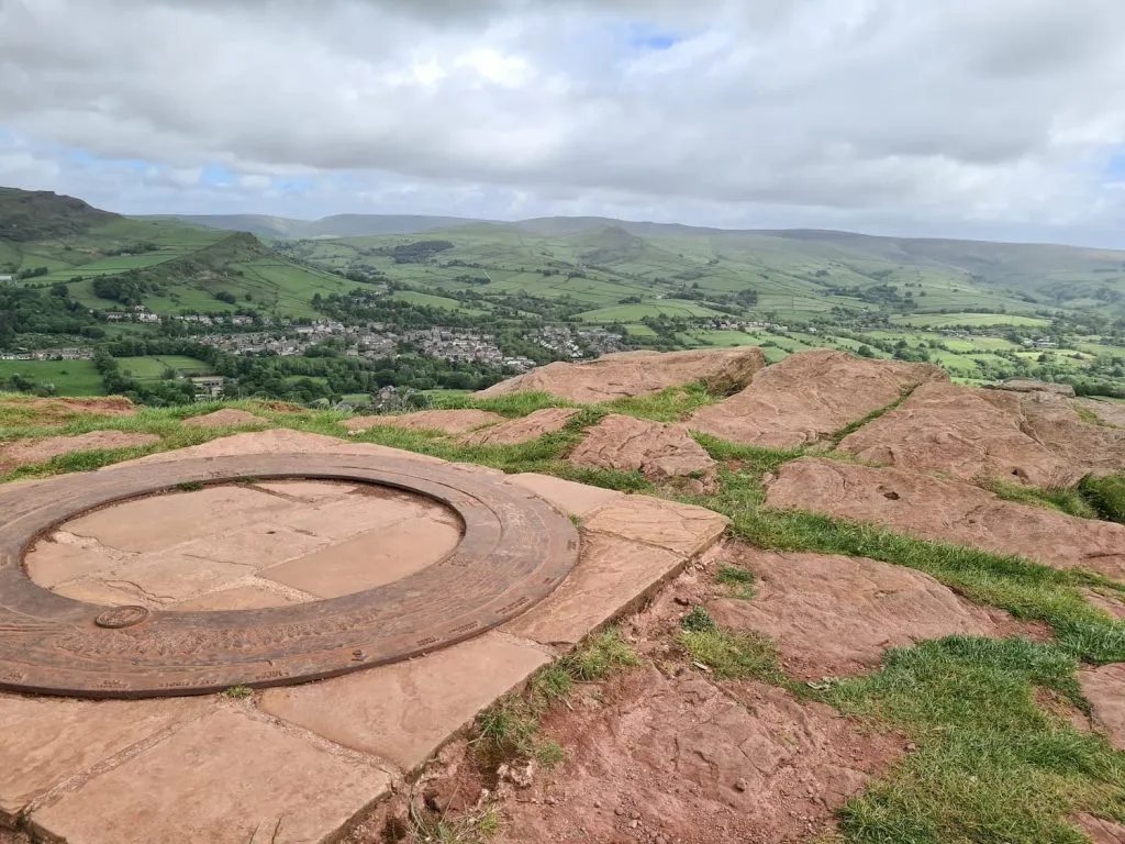
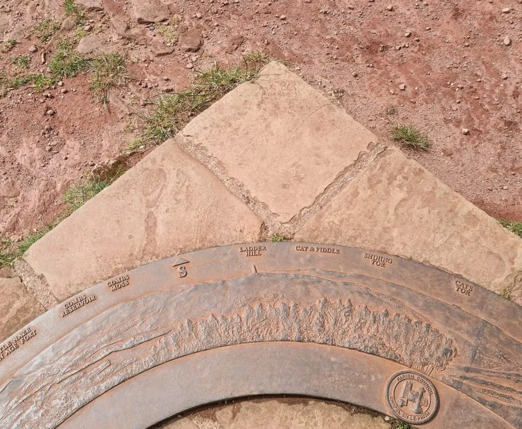
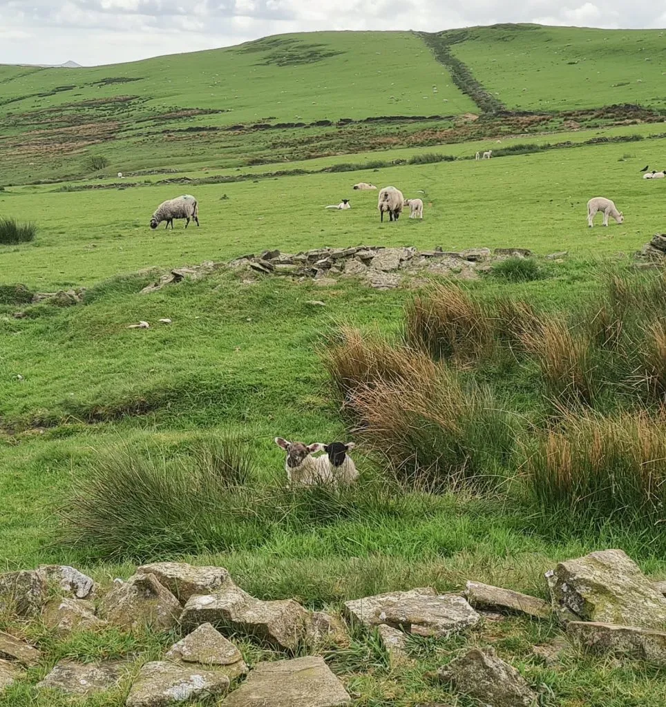
Our walk starts from the free car park in Whaley Bridge, near the canal basin, and heads out along some urban footpaths which eventually opens out into open countryside. We walked through fields, climbing gently until we reached the base of Eccles Pike (near the National Trust sign post). Eccles Pike is an isolated gritstone hill topped with pink gritstone, some 370m above sea level. At the top of the hill there is a toposcope showing a 360° view of the surrounding landscape. On a clear day the views are spectacular, reaching over to Mam Tor and Rushup Edge, Shining Tor and many more.

Chinley Churn as seen from the way to Eccles Pike

Chinley Churn as seen from the way to Eccles Pike


The toposcope on Eccles Pike, with a view over to Mam Tor

The toposcope on Eccles Pike, with a view over to Mam Tor


Details on the cast metal toposcope on Eccles Pike showing the different hills on the horizon

Details on the cast metal toposcope on Eccles Pike showing the different hills on the horizon

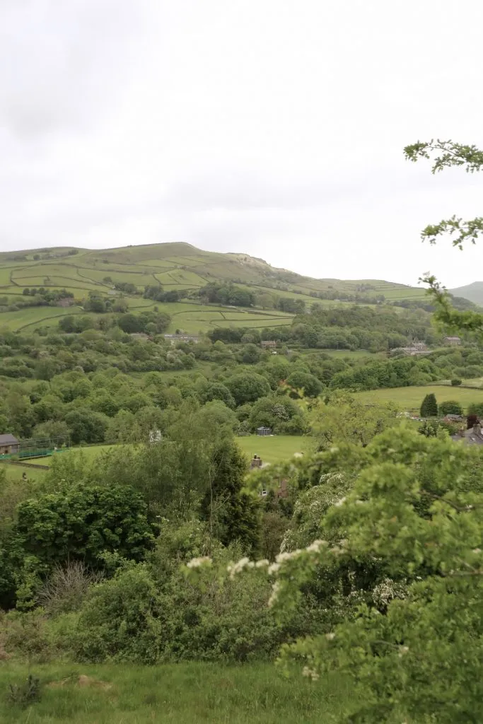
From the toposcope we headed down the hillside to the south and followed the winding country lanes back onto Horwich End. This part of the walk includes a bit of walking on the road, so please take care as the road is very busy. We came off the road for a bit to walk on a public footpath, but this led back to the road in Kettlehulme which is a very pretty little village. From here we headed over the fields, over Todd Brook and up the hillside. It’s quite steep and can be muddy in places – I sank into some mud up to my knees!

If you look carefully you can just make out two hares in the field

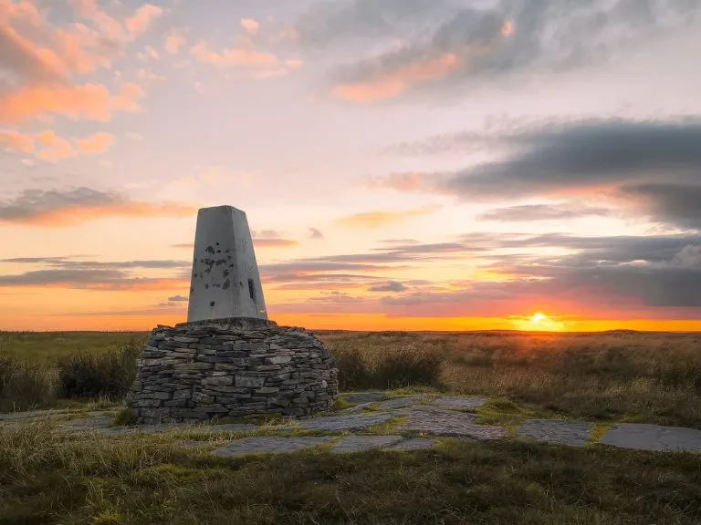
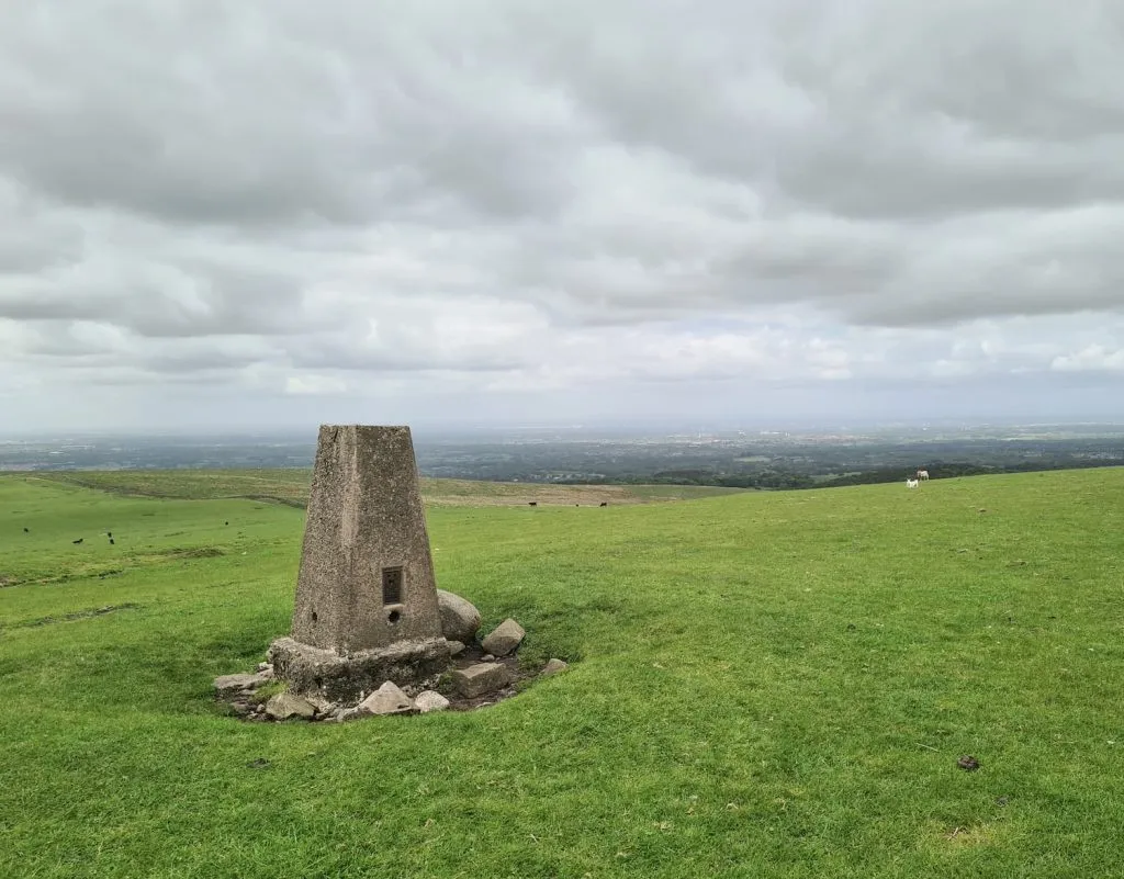
The footpath led to Higher Lane, which we followed for a short distance until a footpath leading up the (not so) Sweet Hill. This is a bit of a climb up which eventually meets the Gritstone Trail, which we followed to the summit of Sponds Hill. The Sponds Hill trig point is in a field just off the Gritstone Trail, and can be seen over the wall – it’s on private land.

Lambs hiding in the reeds on Sweet Hill

Lambs hiding in the long grass on Sweet Hill


Sponds Hill trig point

Sponds Hill trig point

After we’d looked at the trig point, we retraced our steps back along the Gritstone Trail, passing the Bowstones. These are the remains of two Saxon crosses.

The Bowstones, the remains of two Anglo Saxon stone crosses with markings on

The Bowstones, the remains of two Anglo Saxon stone crosses


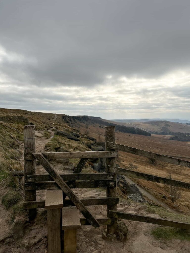
We followed the Gritstone Trail back down the hillside and followed the footpaths, crossing a little stream then starting to climb up towards Black Hill (Whaley Moor). Only one quarter of Black Hill is in Open Access Land, so we followed the footpath along the southern edge of Black Hill then headed cross country to get to the summit. It’s very steep and when the hill starts to plateau a bit it gets very boggy, with tussocks in and amongst the bogs to trip you up. There isn’t anything to mark the summit of Black Hill, so we followed the line of the wall back down the hillside to pick up the footpath again.


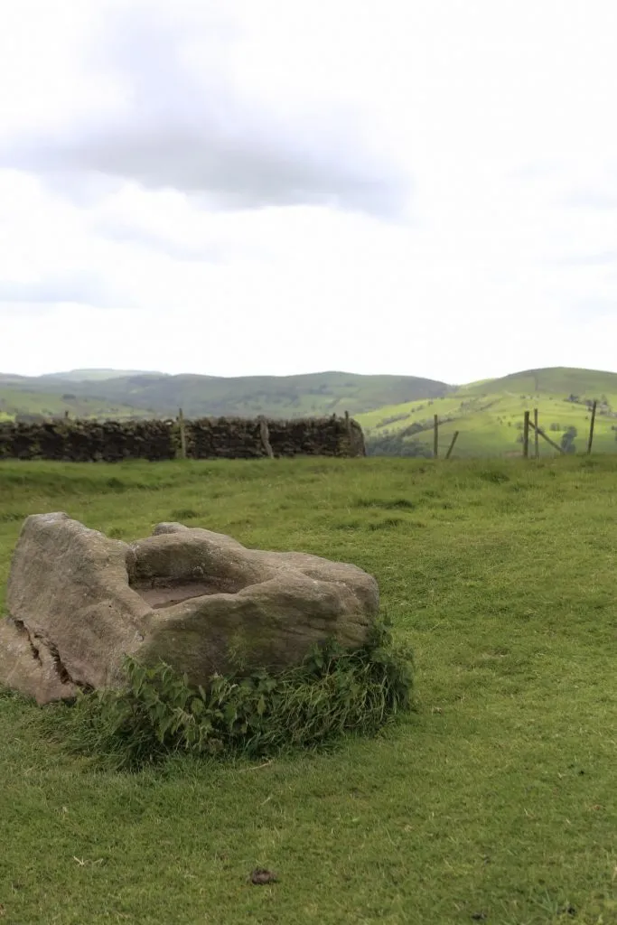
The rest of the walk takes you through the fields and open countryside, passing the intriguing Dipping Stone (which I understand was also another Anglo Saxon stone marker) before dropping back down to the roadside.


The Dipping Stone, an ancient stone with two rectangular holes in the top, with views to Sponds Hill

The Dipping Stone, with views to Sponds Hill

We crossed the road and wandered back along the canal to the car park, then jumped in the car and headed to the pub. There doesn’t seem to be many pubs in Whaley Bridge although there are some cafes and coffee shops, so we headed to The Lamb Inn which was on our way home. Sadly this wasn’t serving food (we arrived there half an hour after lunch service) so we headed even closer to home, to Holme in fact, and The Fleece.

Two lambs under a wind bent hawthorn tree

Two lambs under a wind bent hawthorn tree

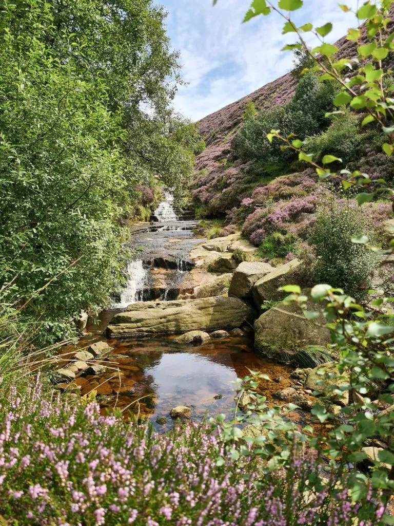
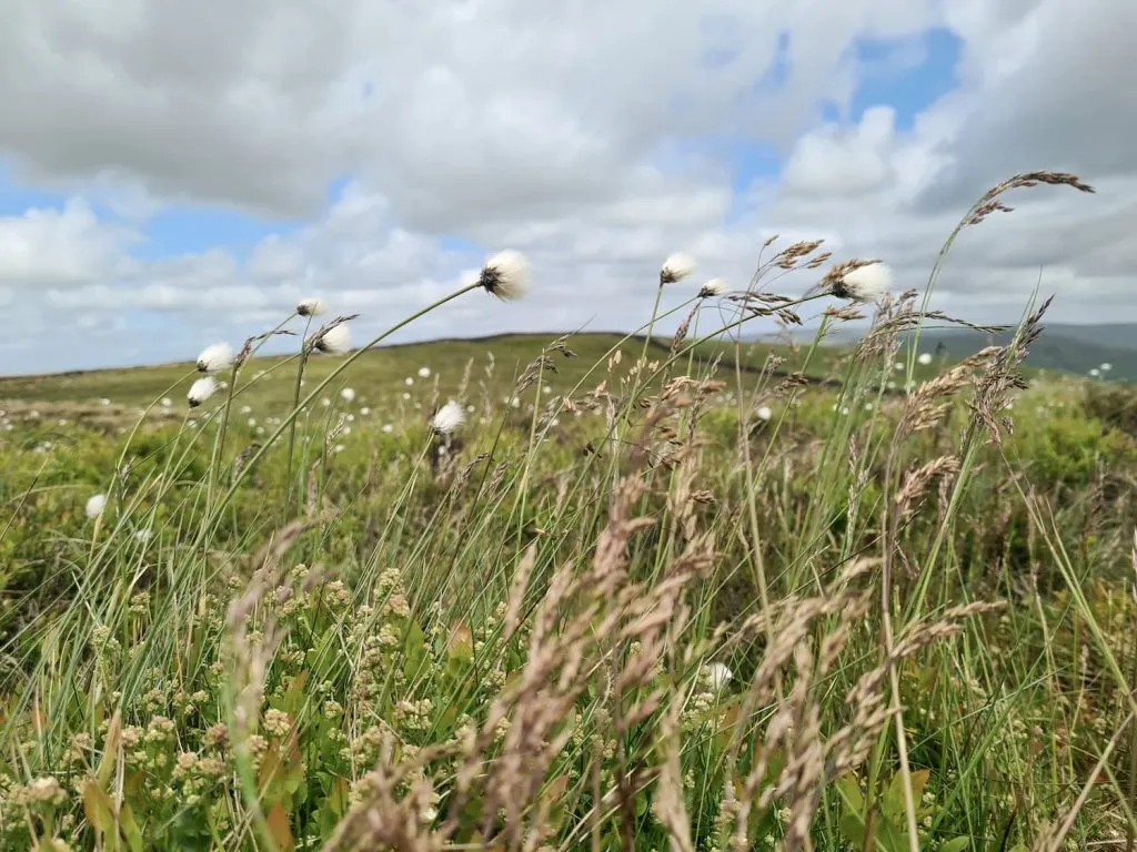
This was a lovely spring walk in the Peak District, as the verges and meadows are filling up with wildflowers and even the moors are starting to bloom with hares-tail cotton grass and new growth on the bilberries. We saw wild rabbits (including a rogue black one), hares and tons of birds.

Wild flowers and grasses on Black Hill (Whaley Moor)

Wild flowers and grasses on Black Hill (Whaley Moor) with the summit just in view (it’s the corner of the wall).

Although this Eccles Pike walk is a bit longer, there is a parking lay-by on the southern side of Eccles Pike which means you could just walk straight up to the summit and back down. There are many more (well, 20 more!) short Peak District walks on 21 Short Walks in the Peak District.

Eccles Pike, Sponds Hill and Black Hill Walking Route Map:


Walk Route in OS Maps: Eccles Pike, Black Hill and Sponds Hill Walk

Parking: Whaley Bridge Car Park, Tom Brads Croft, Whaley Bridge, High Peak SK23 7SR | W3W:///seeing.useful.luck

Facilities: There are some public loos near the car park and cafes and coffee shops in Whaley Bridge.

Walk Time: 4-5 hours

Difficulty: ▲▲▲ (Some steep climbs and boggy sections)

Distance:  12.1 miles (19.5 km) in total

Trig Points Bagged: Sponds Hill (on private land, but you can see it from over the wall)

Peak District Peaks Bagged: Eccles Pike, Sponds Hill, Black Hill (Whaley Bridge)

Peak District Ethels Bagged: Eccles Pike, Sponds Hill, Black Hill (Whaley Bridge)


Tap to share with your hiking friends!

  • Facebook
  • Email
  • WhatsApp
« Aleck Low and Wolfscote Hill | 9 Miles
10 Reservoirs Walk | 23 Miles »

RELATED POSTS

  • Three Shires HeadHow to Find Three Shires Head
  • Lathkill Dale waterfallLathkill Dale Waterfall Walk | 7 Miles
  • Sheen Hill trig pointSheen Hill Trig Point | 6 Miles
  • Wetton Hill walk routeWetton Hill, Narrowdale Hill and Gratton Hill Circular | 7 Miles

Leave a Reply Cancel reply

Your email address will not be published. Required fields are marked *

FIND YOUR NEXT WALK:

ABOUT ME

Y Garn with Kids - Y Garn via the Devil's Kitchen Walk in Ogwen Valley

Hello! I’m Jo! Welcome to The Wandering Wildflower, an outdoors lifestyle blog focusing on family walks in the Peak District, a place we love exploring. I want to share the Peak District hidden gems and show you there’s so much more than the honeypot places. When I’m not dragging my husband and now 11 year old out on Peak District walks or up mountains, I can be found on planning my next moorland walk or plotting a Geocache walk (and seeing where the nearest pub is!). I love the hills but hate the heights, so trig bagging is – er- fun!


I hope this blog will give you some ideas of places to visit in the Peak District and inspire you and your family to head into the great outdoors.  Thanks for stopping by!

CATEGORIES

  • CIRCULAR WALKS (189)
  • HOLMFIRTH WALKS (27)
  • ISLE OF SKYE WALKS (3)
  • LAKE DISTRICT WALKS (26)
  • LANCASHIRE WALKS (2)
  • LONG PEAK DISTRICT WALKS 10 MILES + (42)
  • MEDIUM WALKS 4-9 MILES (137)
  • PEAK DISTRICT SCRAMBLES (16)
  • PEAK DISTRICT WALKS (206)
  • PEAK DISTRICT WALKS WITH KIDS (76)
  • PEAK DISTRICT WALKS WITH PUBS (60)
  • SCOTLAND WALKS (6)
  • SHORT WALKS UNDER 3 MILES (40)
  • SNOWDONIA WALKS (5)
  • UK CAMPING (5)
  • YORKSHIRE WALKS (33)

Peak District Walks

List of Peak District Ethels

Peak District Peak Bagging

Peak District Trig Point Challenge

Peak District Walks with Pubs

Peak District Walks with Kids

Beautiful Walks in Holmfirth

Short Walks in the Peak District

Long Walks in the Peak District

AFFILIATE DISCLOSURE

This blog may contain affiliate links through which, at no additional cost to you, I may earn a small commission. I only recommend products I would use myself and all opinions expressed here are my own. As an Amazon Associate I earn from qualifying purchases. Read full privacy policy here.

ARCHIVES

PEAK DISTRICT WEATHER

Peak District mountain weather on Met Office

Peak District Trig Points

Promo image for a blog post about the Peak District Trig Point Challenge With Map of Peak District Trig Points and Walking Routes by The Wandering Wildflower

Peak District Ethels Challenge

Promo image for a blog post about the Peak District Trig Point Challenge With Map of Peak District Ethels and Walking Routes by The Wandering Wildflower

WALKING ROUTES STRAIGHT TO YOUR INBOX

Want new walks in your inbox? Drop your email below and I'll send you some ideas for walks you can try.

You can unsubscribe anytime. For more details, review our Privacy Policy.

Thank you!

You have successfully joined our subscriber list.

RSS LATEST POSTS

  • How to Find Three Shires Head
  • Peak District Pub Walks
  • Burnbank Fell, Blake Fell and Gavel Fell | 8 Miles
  • Bretton Park Circular Walk | 3 Miles
  • Grasmere Weekend Break

FOLLOW ON PINTEREST

Want new walks in your inbox? Drop your email below and I'll send you some ideas for walks you can try.

You can unsubscribe anytime. For more details, review our Privacy Policy.

Thank you!

You have successfully joined our subscriber list.

jo@thewanderingwildflower.co.uk

The Wandering Wildflower

  • Email
  • Facebook
  • Instagram
  • Pinterest
  • PRIVACY POLICY
  • TERMS & CONDITIONS
  • ABOUT

(c) The Wandering Wildflower. All Rights Reserved.

|| THEME BY ECLAIR DESIGNS