Kirk Edge Trig Point | 4 Miles


This Peak District trig point walk bags the Kirk Edge trig point and is a 4 mile circular walk from Low Bradfield.

Kirk Edge trig point is actually on private land owned by the University of Sheffield, but the gates are usually open so you can gain access. If the gates are closed, please don’t trespass – you’ll have to go for a “close enough is good enough” approach.
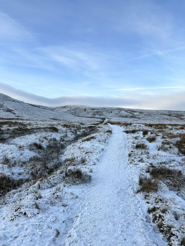
Our walk starts in The Sands car park in Low Bradfield. We set off through the woods, then followed the lane alongside Agden Reservoir.


We then hopped over a stile and climbed up along a path following the course of Rocher End Brook – there is a waterfall marked on the OS Map here but sadly it had dried up! Following the footpaths, we popped out on Brownhouse Lane, which we followed and turned right onto Onesacre Road.

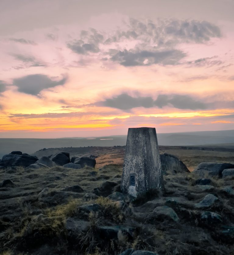
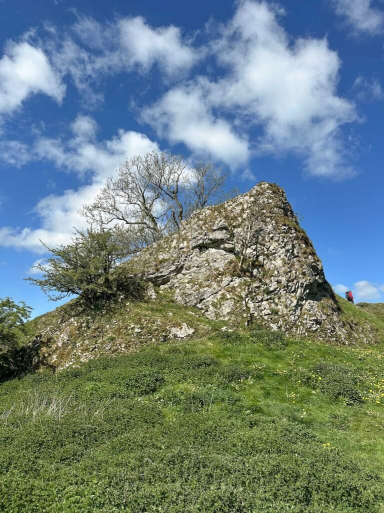
There is a footpath which leads over a field and crosses the track which leads up to the University of Sheffield’s building. Kirk Edge trig point is just up this track – there is a gate at the top of the track. The gate was open, so we nipped in for a quick bag of the trig then headed back down the lane to pick up the footpath again.


We followed the footpath down the fields, crossing Delf Road and heading down to meet Jane Street. Jane Street is a beautiful olde worlde street near to the Church of St Nicholas, which is itself a lovely looking old church.
The footpath leads along the front of the church and down over the fields, across Smallfield Lane, and back down to The Sands car park.
This was a relatively gentle walk exploring the beautiful countryside around Lower Bradfield. We added on the walk up to Emlin Ridge trig point from here as well, but you could just head off to the pub from here if you’d rather!
Kirk Edge Trig Point Walk
Kirk Edge Walk Map:

Walk Map (Opens in OS Maps): Bradfield to Kirk Edge Trig Point
Parking: The Sands Car Park, S6 6LA
Facilities: None but there is a pub in Low Bradfield
Walk Time: 1-2 hours
Difficulty: ▲
Distance: 3.9 miles (6km)
Trig Points Bagged: Kirk Edge
Peak District Peaks Bagged: None
Peak District Ethels Bagged: None
For more Peak District trig point walks, check out Peak District Trig Point List which has tons of walks to help you complete the Peak District Trig Point Challenge including walks to bag more than one trig point.

That looks a love walk. One that I intend to do. THANK YOU.