Black Hill Plane Wrecks Walk | 4 Miles
Black Hill is the highest point in West Yorkshire and its peat groughs and hags have a rugged beauty all of their own. This walk explores Black Hill away from the Pennine Way, and visits two of the plane crash sites up on the plateau – the Sabre Mk 2 19234 and the Fairey Swordfish Mk 1 P4223.
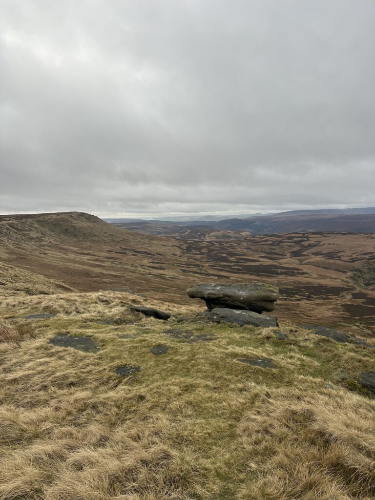
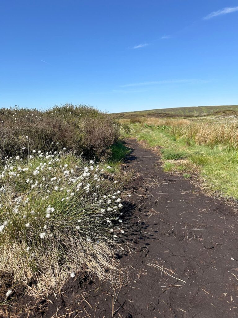
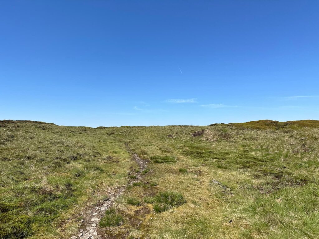
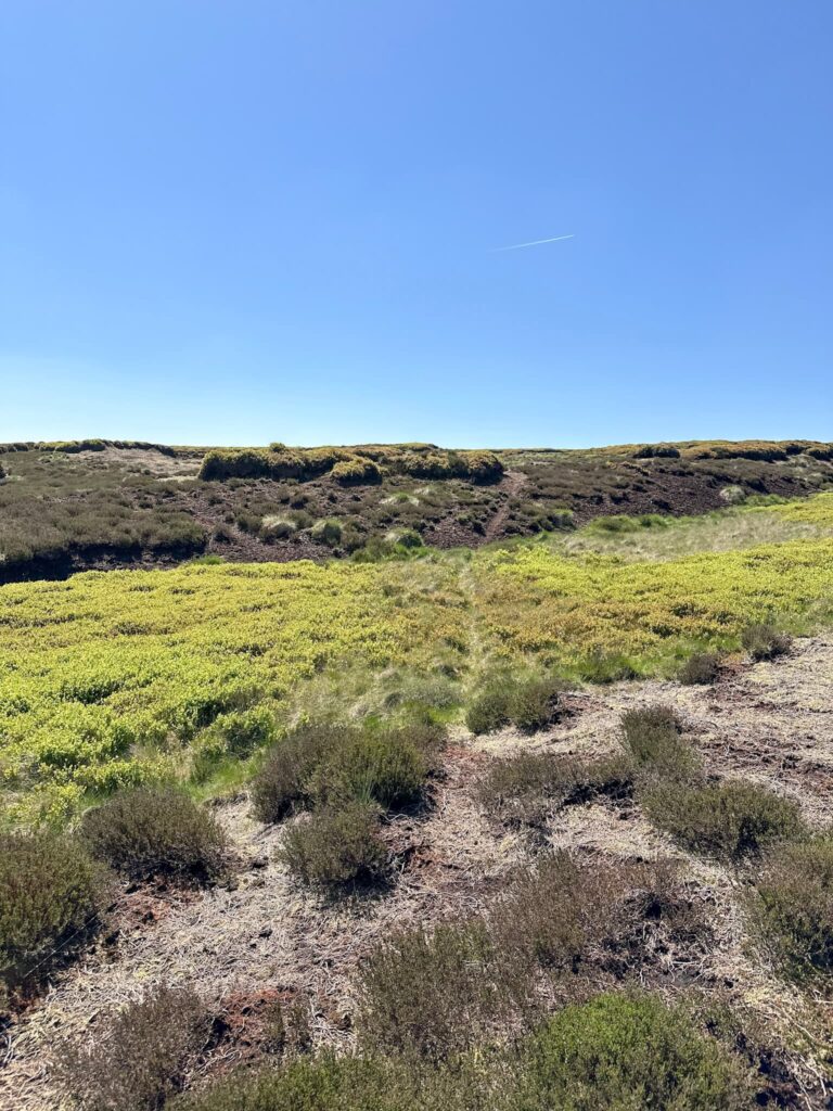
The weather on Black Hill can be very changeable – we chose a clear dry day as this walk involves lots of off path, yomping up and down peat hags and navigation can be difficult. Please don’t follow this route unless you’re prepared for peat bogs and tricky terrain! Black Hill is named for the black peat that forms the plateau, and despite the Pennine Way slabs making the going easier in parts and the moorland regeneration work, this walk uses paths that are not paved and goes through areas which are notoriously boggy in winter.
This walk visits two of the Black Hill plane wrecks but there are more nearby – USAAF B24-H Liberator Crash Site on Twizle Head Moss, Holmfirth and the Gloster Meteors on Sliddens Moss (visited on this Black Hill via Crowden Little Brook | 9 Miles walk).
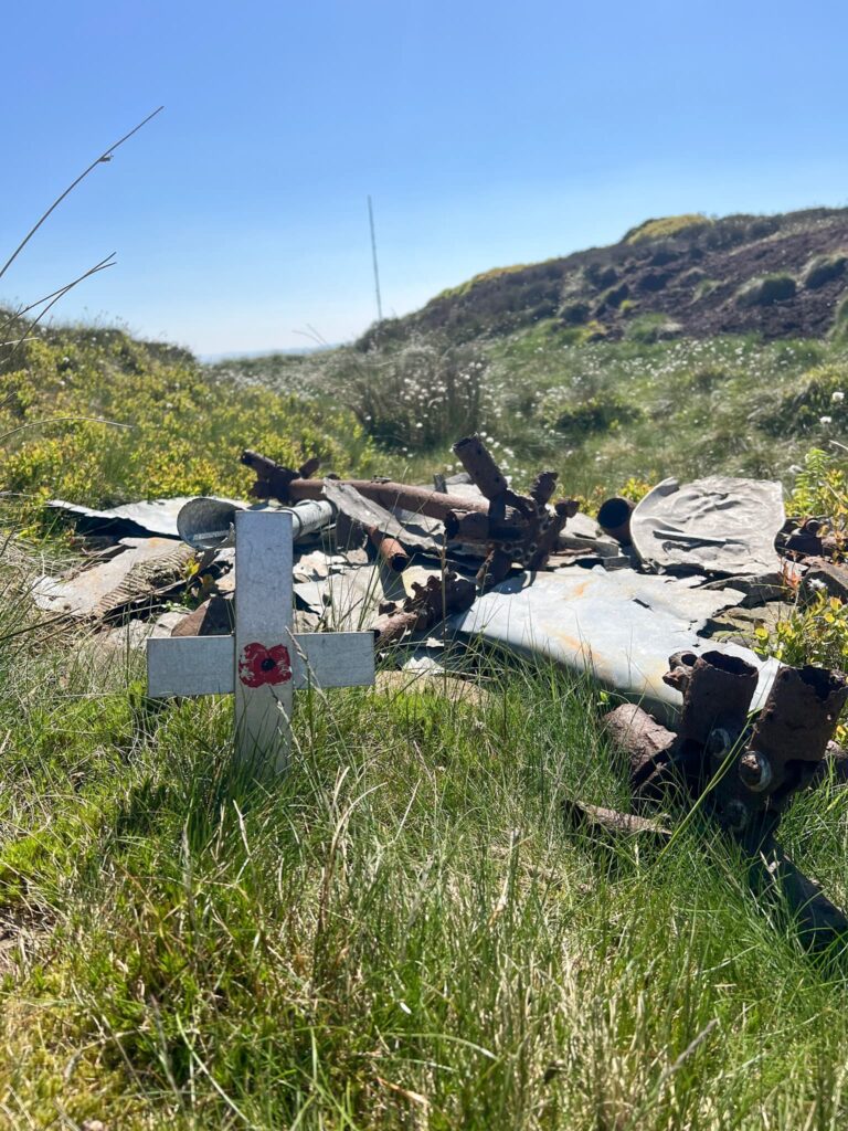
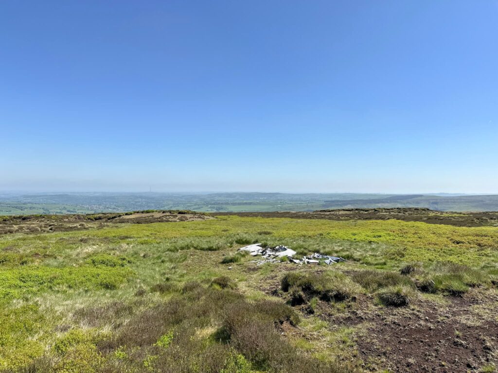
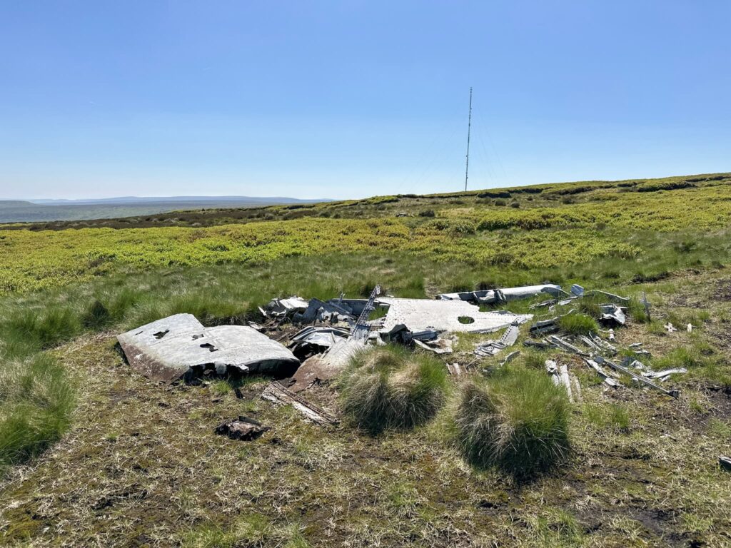
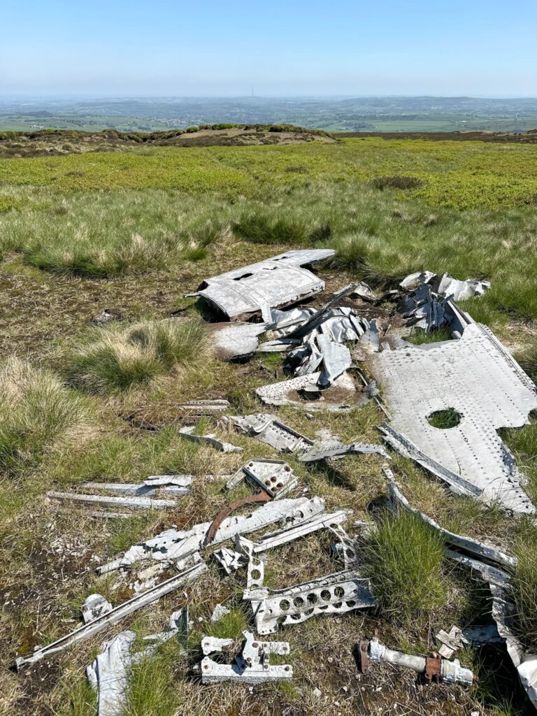
Fairy Swordfish Plane Wreck, Heydon Head
The Fairey Swordfish MK1 P4243 crashed in 1940, killing the pilot. Sadly the wreck wasn’t discovered until a month later, with his body still strapped into the cockpit. It was presumed he had flown into the cloud covered ground as there was no evidence of any mechanical failure.
Fairy Swordfish Grid Reference: SE 08338 04762
Sabre MK2 Wreck, Holme Moss
The Canadian Air Force Sabre Mk2 19234 was being tested and crashed into the moorland after being flown at too low an altitude in poor visibility, killing the pilot.
Sabre MK2 19234 Grid Reference: SE 09133 05087
Our walk started from the Holme Moss car park nearest the transmitter and headed off over the moors towards Heyden Head. The peat bogs here are treacherous in wet conditions – they’re the type you’ll go in up to your knees (or worse).
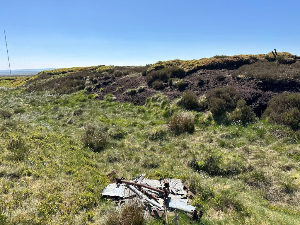
After about a mile we reached the head of Heydon Brook. The path heads off into the peat hags – there is a very faint trod. If in doubt, climb on the hags. The route heads up over the hag and the wreck of the Fairey Swordfish is located in the grough.
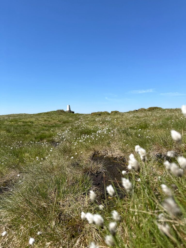
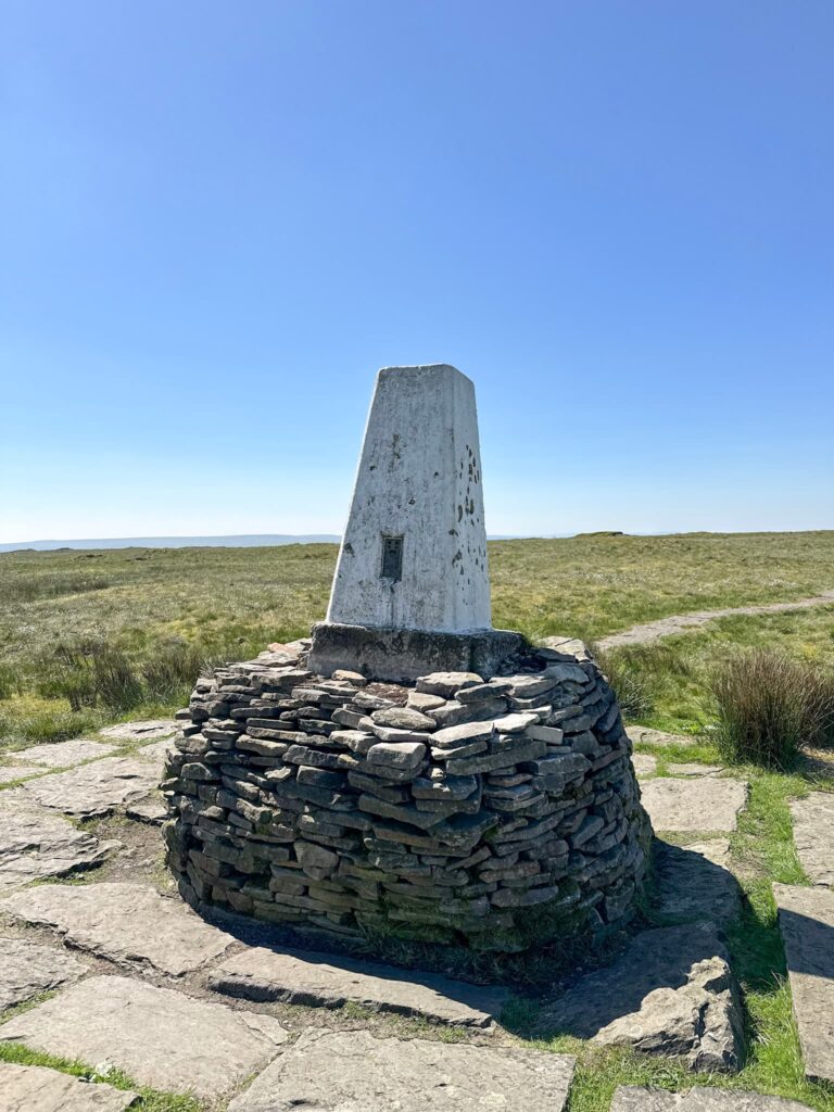
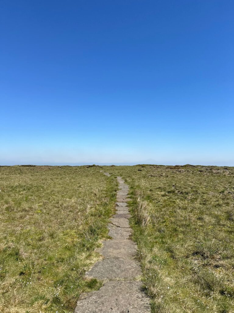
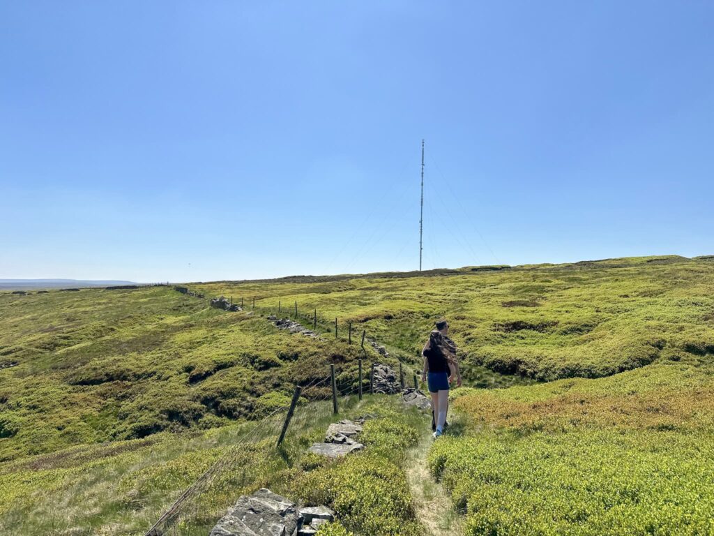
From here we rejoined the path that runs to Soldier’s Lump, the Black Hill trig point at 582m. According to Alfred Wainwright in his Pennine Way Companion, the support timbers for the Ramsden theodolite, used by the Royal Engineers in the original Ordnance Survey which started in 1784, were still to be found here many years later. The trig point sits on a stone base which shows the historic height of the peat which has since eroded.
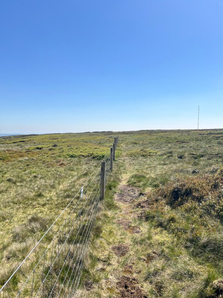
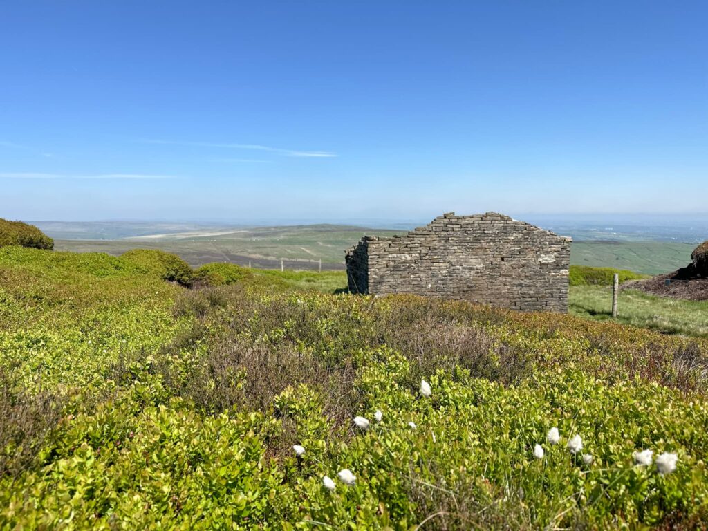
From the trig point we followed the Pennine Way slabbed path north-east until we reached the gate, and then followed the fence line for 0.3 miles. The fence dog legs to the left next to Wrigley’s Cabin, the remains of a shooting hut or shepherd’s hut with a rather large fireplace.
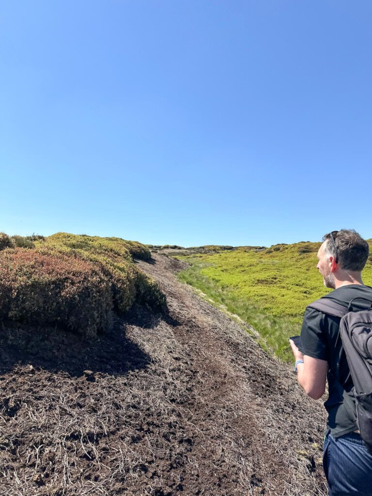
From Wrigley’s Cabin we continued a short distance along the faint path before heading up the side of a peat hag to yomp across the moor to the wreck of the Sabre MK2. This involved hiking up and down some peat hags and winding our way as best we could to the crash site. It’s impossible to describe the route here!
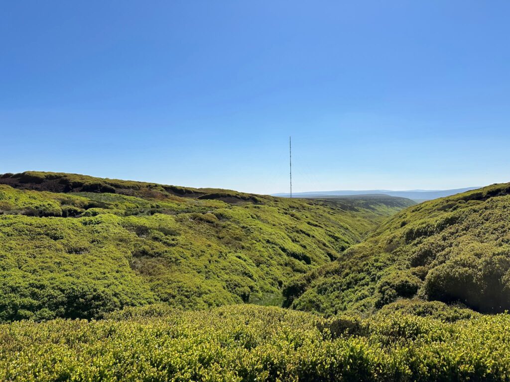
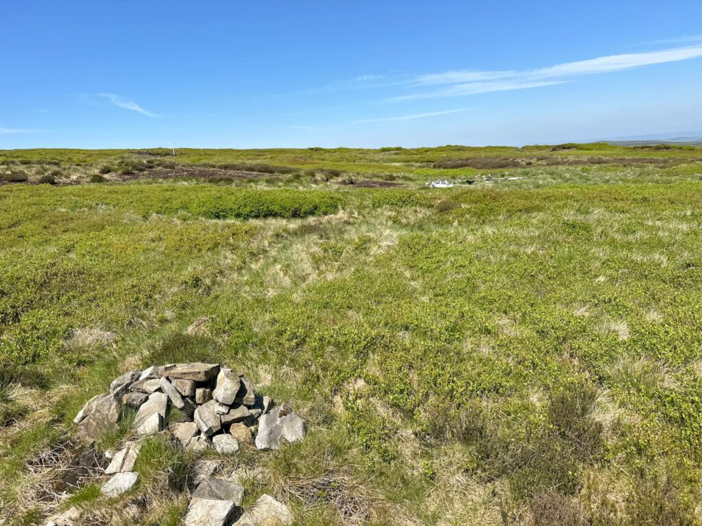
After we’d explored the crash site we passed a stone cairn and headed to the path that runs around Ellentree Head and Kaye Edge, before turning south and climbing gently back towards the Holme Moss transmitter and the road.
Black Hill Plane Wrecks Walk Details:

Walk Route in OS Maps: Black Hill Plane Wrecks Walk Map
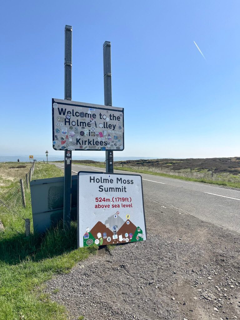
Parking: Free parking in the rough layby next to the Holme Moss transmitter, Woodhead Road, Holmfirth W3W:///interest.carriage.survived
Facilities: None – leave no trace and take all your rubbish away with you.
Walk Time: 2-3 hours
Difficulty: ▲▲
Distance: 4 miles (6.4km)
Elevation: 400ft (121m)
Trig Points Bagged: Black Hill
Peak District Peaks Bagged: Black Hill
Peak District Ethels Bagged: Black Hill
For more walks with Peak District plane crash sites, you might like:
Tintwistle Seven Falls and Plane Crash Sites | 7 Miles
Bleaklow Plane Crash Walk | 15 Miles
Edale to the Dragon Rapide on Kinder Scout | 7.5 Miles