Derbyshire 3 Peaks | 18 Miles
If you’re after a proper challenge walk in the Peak District, the Derbyshire 3 Peaks walk ticks all the boxes. This 18.5-mile route takes on three of the area’s highest points – Kinder Scout, Bleaklow and Higher Shelf Stones – with a total elevation gain of around 2,750ft (that’s roughly 840m). It’s a challenging day out, but you’ll be rewarded with dramatic moorland views, sweeping gritstone edges and a real sense of achievement.
I’ve seen a few routes for the Derbyshire 3 Peaks online, but Joel and I tweaked these to make our own. We switched up the order in which you tackle the hills – I didn’t fancy the slog up onto Kinder Scout after I’d already walked 14 miles or so, so we put Kinder Scout first, then Bleaklow and Higher Shelf Stones. This way you get the big climbs over with sooner, rather than later!
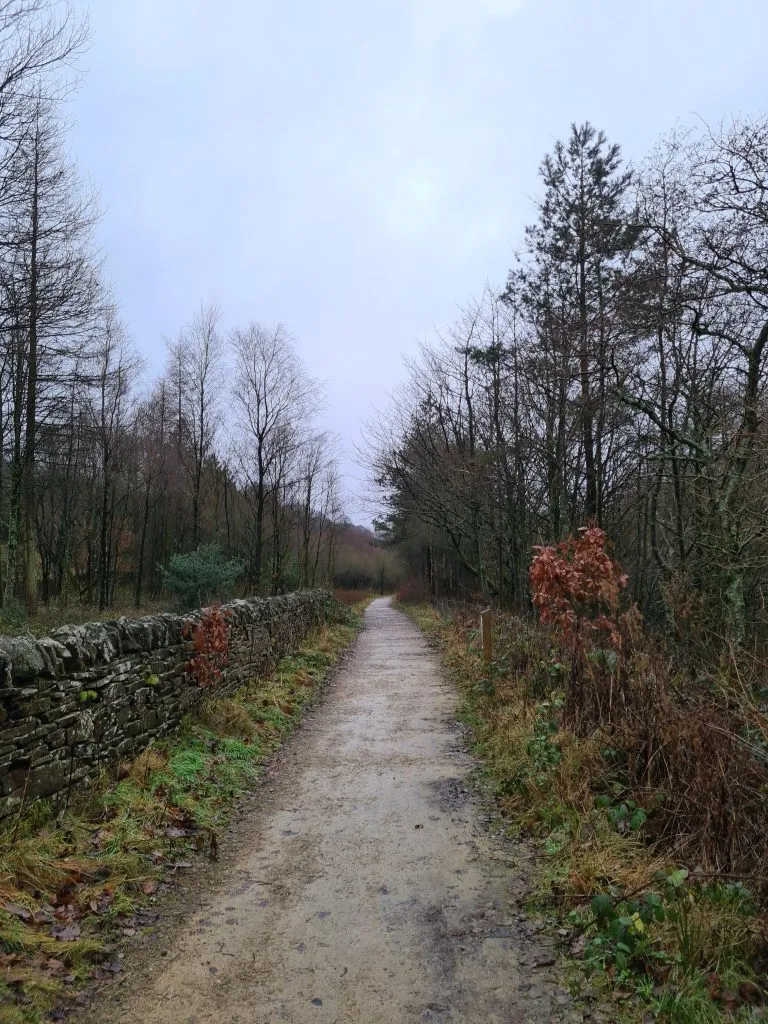
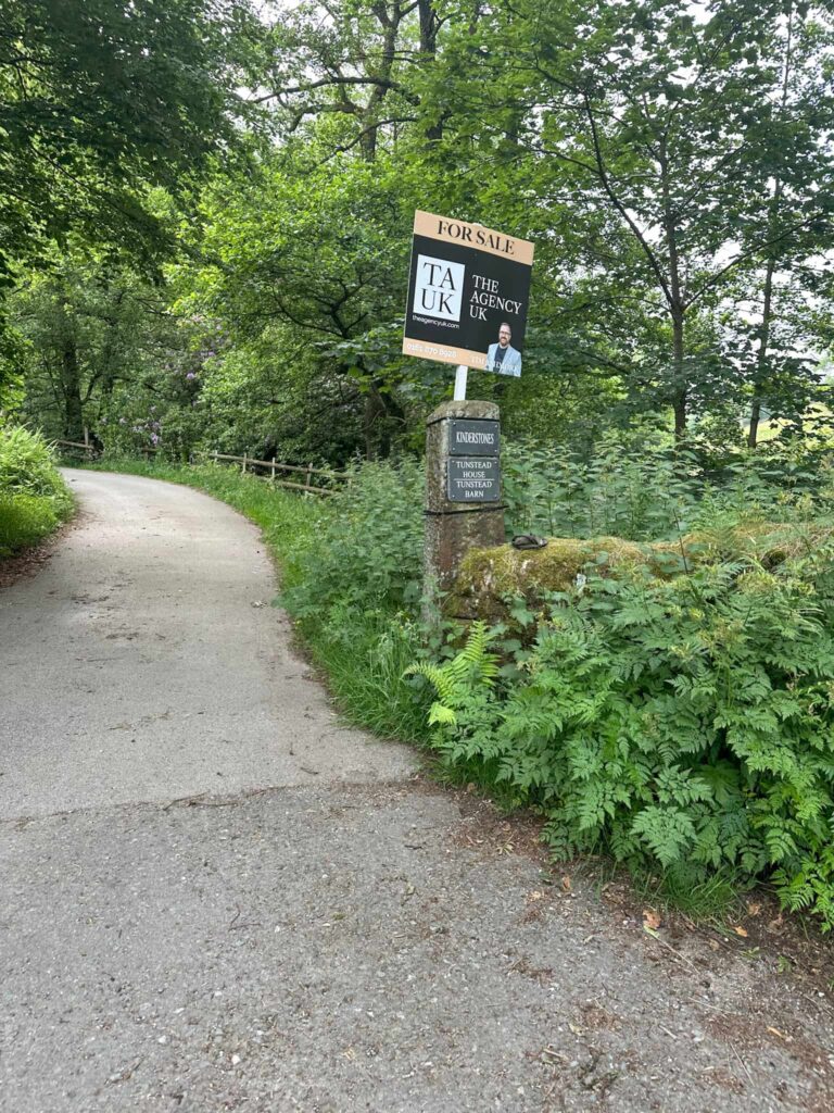
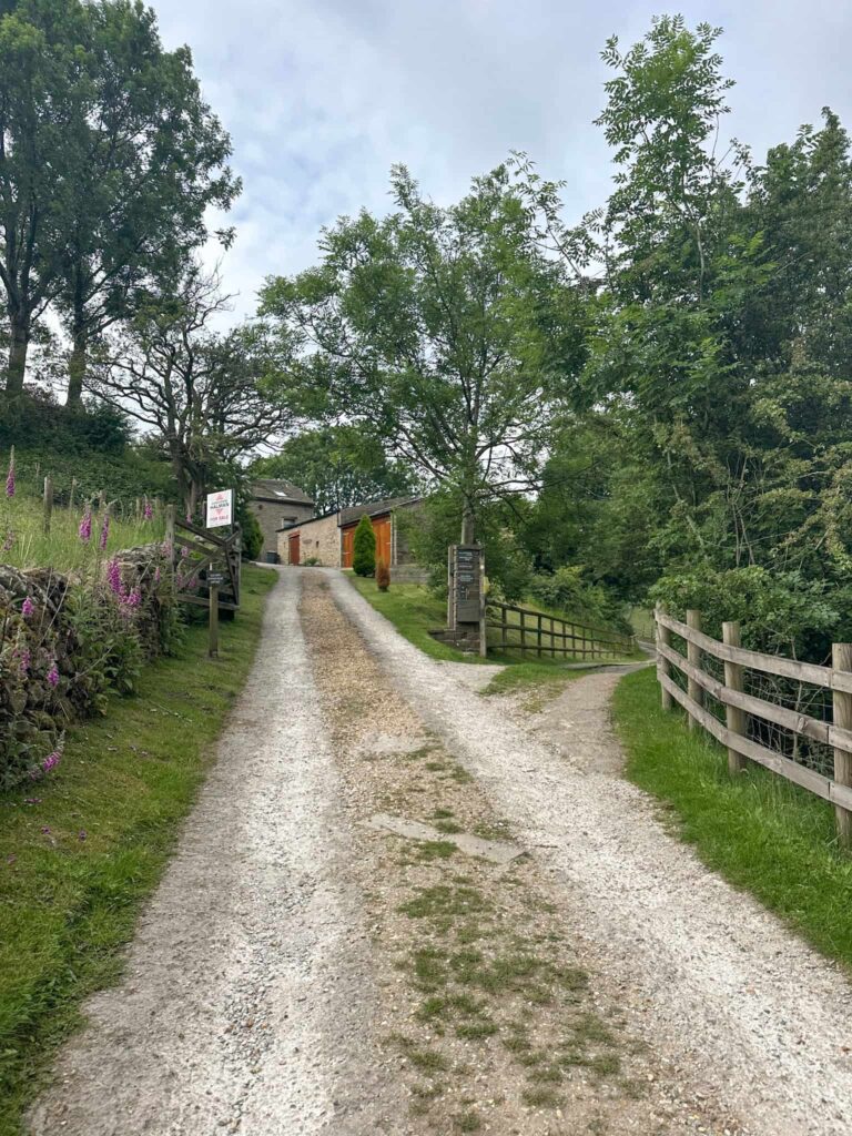
Our route starts at the Bowden Brook car park, where the famous Kinder Scout Mass Trespass started (and where there’s some handy public toilets). We headed on Edale Road, passing what I think is a disused reservoir (it’s all gated off) and heading off up the driveway of Kinderstones (also has Tunstead House and Tunstead Barn on the gatepost). Just before Tunstead House, the footpath forks right and heads up into the fields, passing the National Trust sign for The Kinder Estate. From here you can see Kinderlow End looming large!
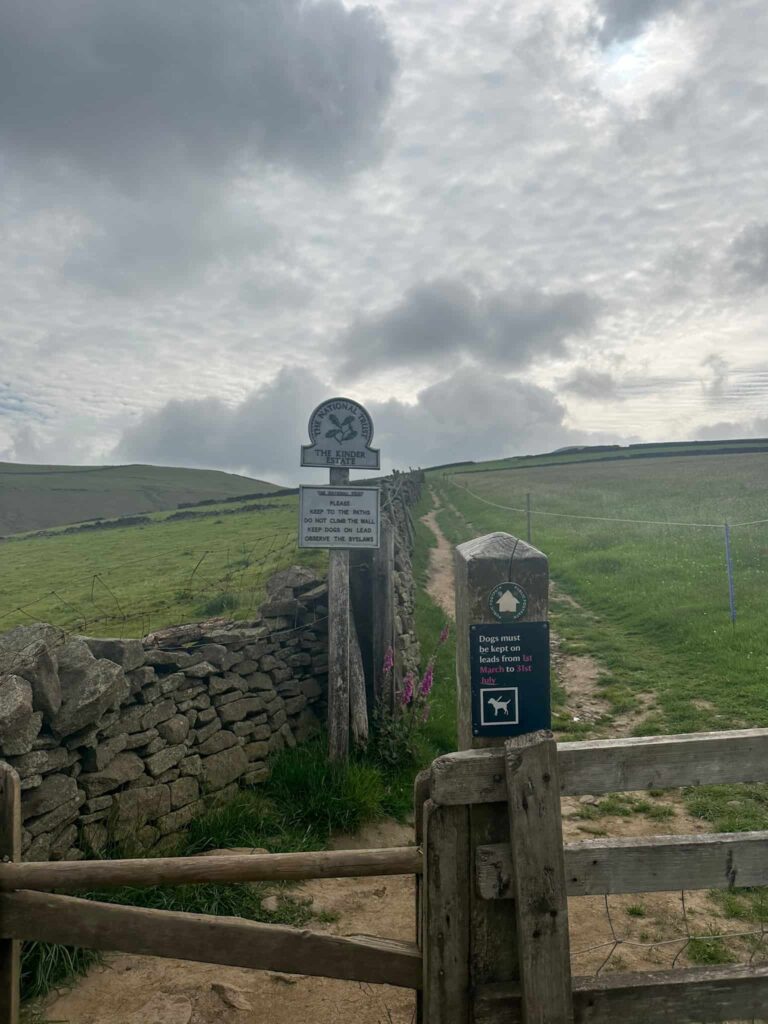
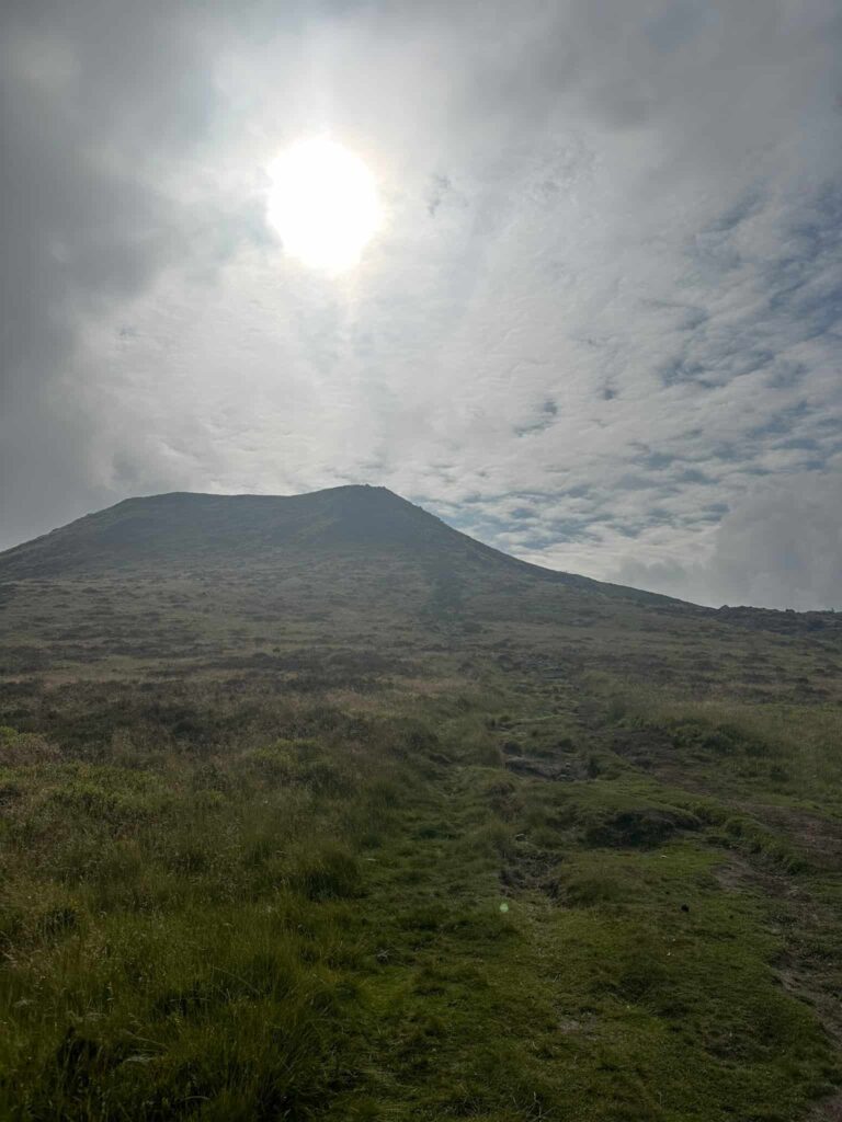
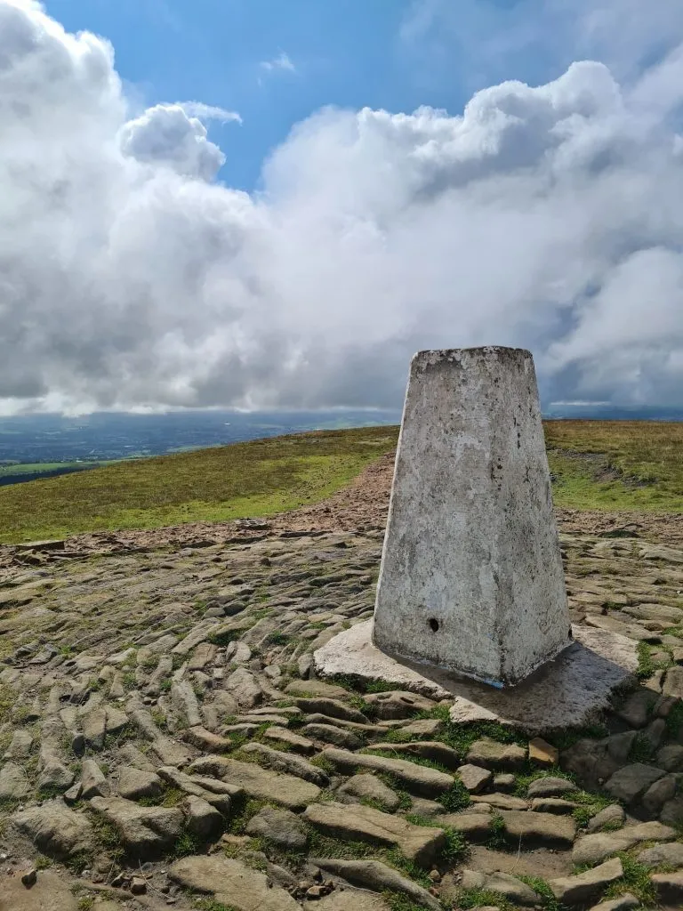
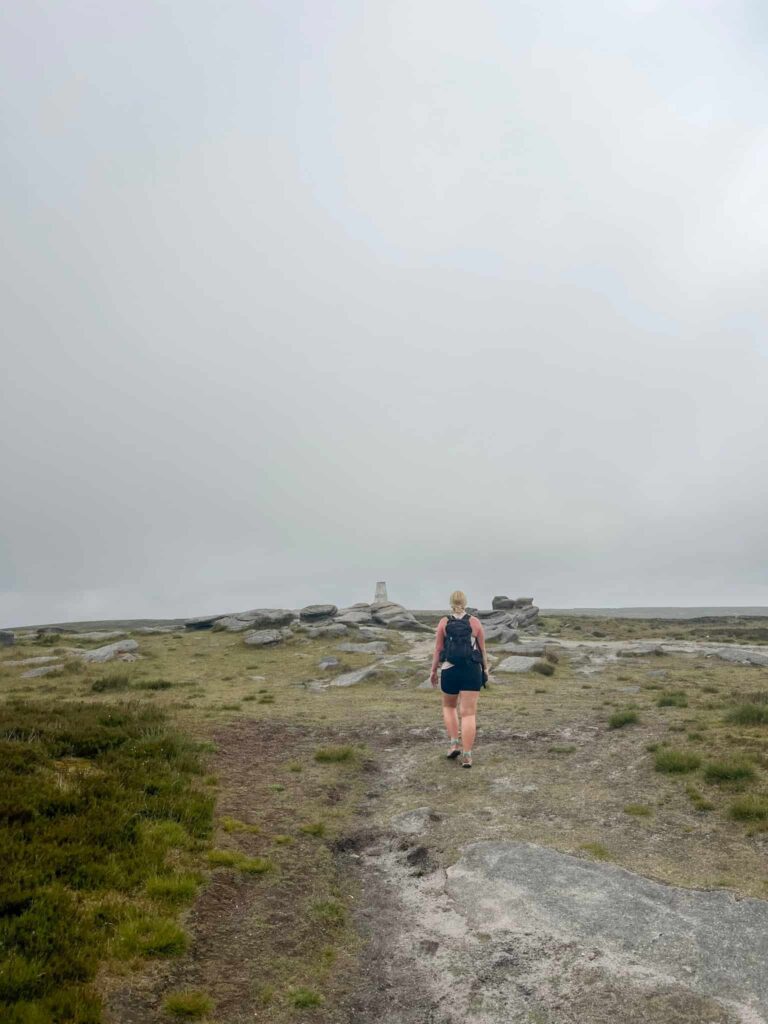
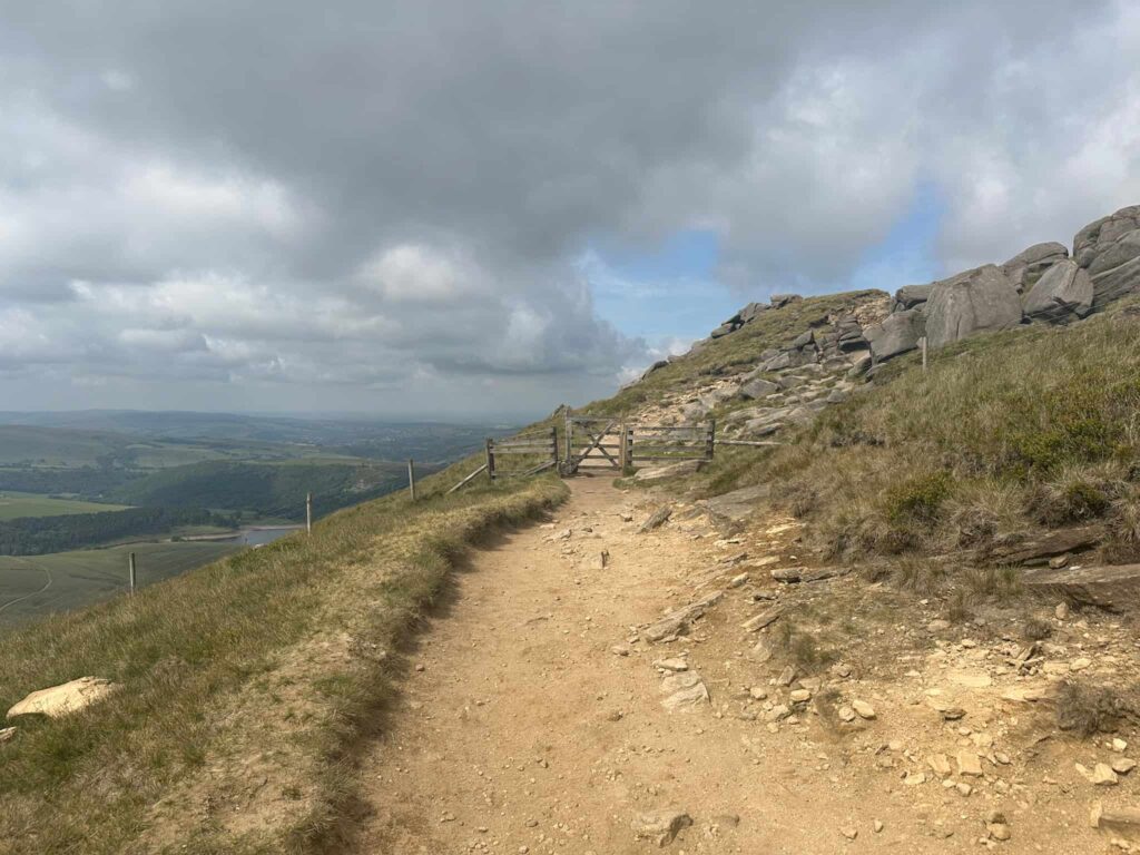
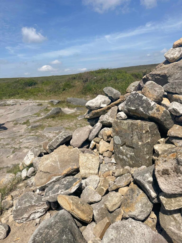
We passed through a wooden gate onto the Open Access Land, and followed the track to start the climb up Kinderlow End. This starts out relatively steady but quickly becomes steeper, with stone steps, and then gets less steep as you near Kinderlow Cairn, an ancient burial place. The stone slabs take you round the burial cairn and north-east towards Kinder Low trig point, 633m above sea level, and used by many people as the summit. It’s as high as we go on this walk, and only 3m shy of the actual summit height.
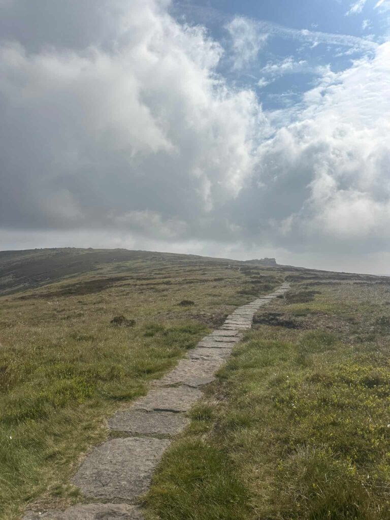
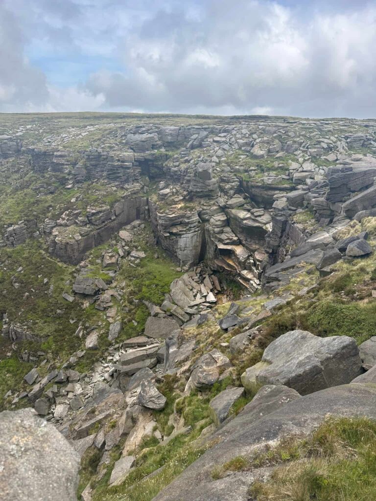
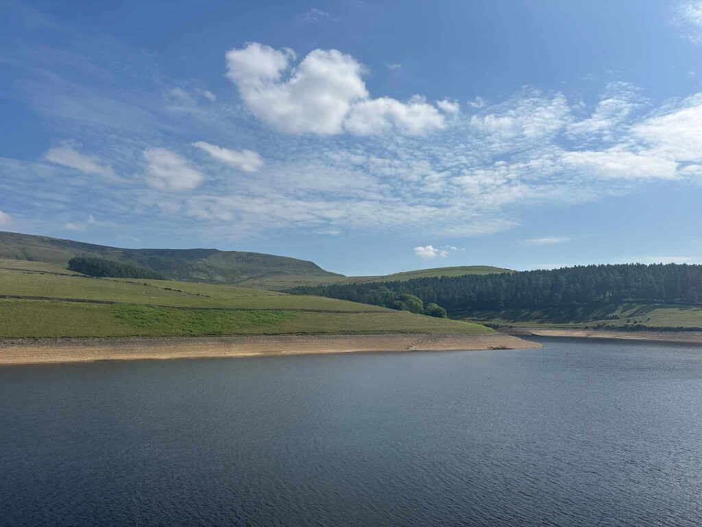
From the trig point we headed north to pick up the Pennine Way path which runs along the edge of Kinder Scout, picking its way through gritstone boulders and giving stunning views down to the Kinder Reservoir and beyond.
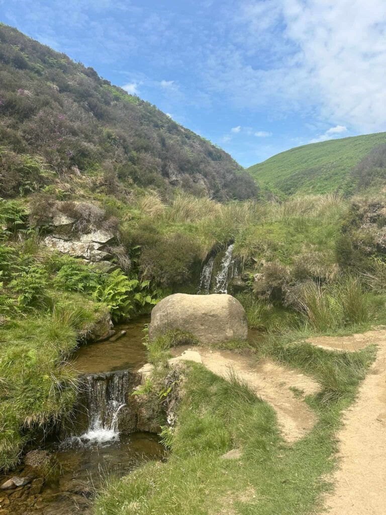
The route passes the top of Red Brook, and then reaches Kinder Downfall, the tallest waterfall in the Peak District. Sadly it wasn’t really flowing when we visited – we’ve had a period of prolonged dry weather and the Downfall was just a trickle.
Crossing the River Kinder, we continued for about a mile and a half until the path starts to descend via some rough stone steps to a crossroads.
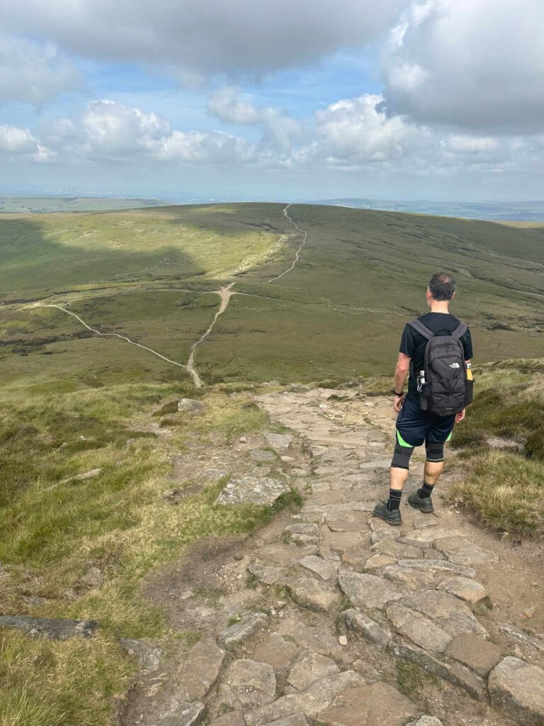
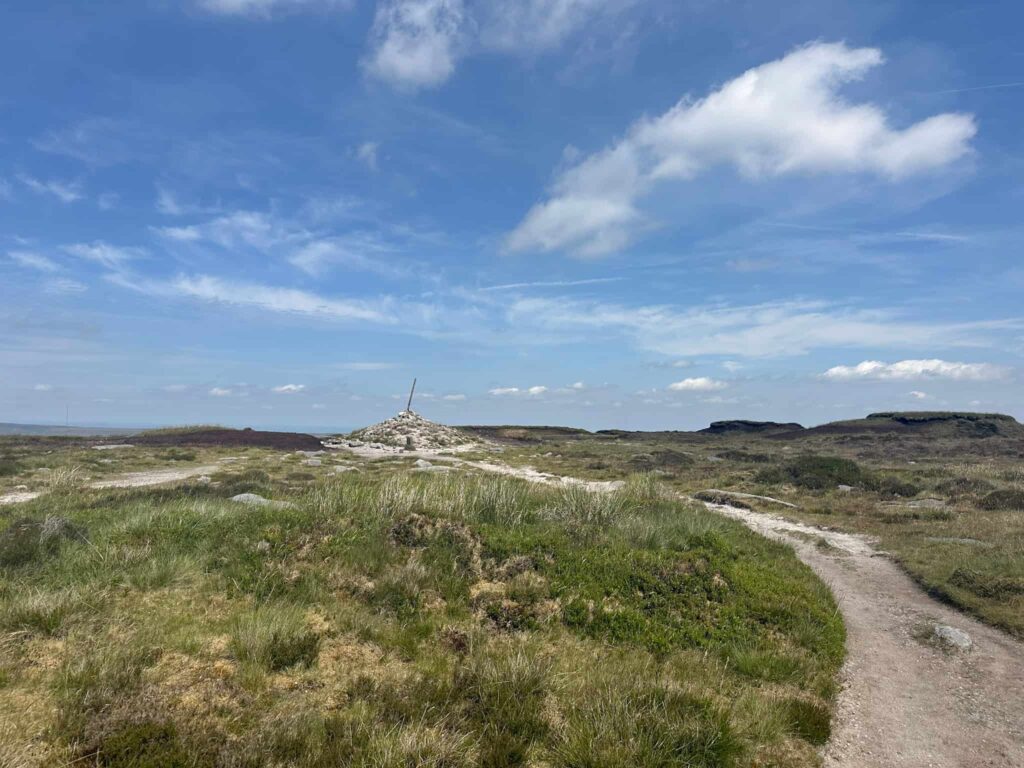
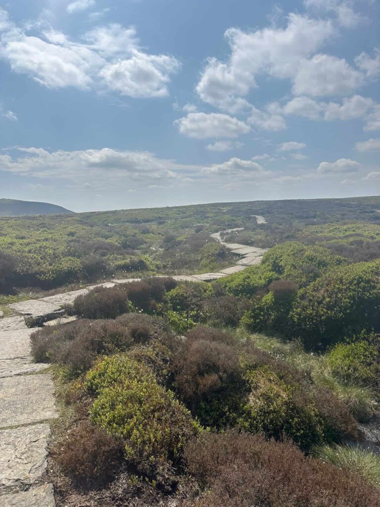
We passed the Peak and Northern Footpaths Society crossroads marker and continued forward to Mill Hill, one of the Peak District Ethels and a bonus summit on this Derbyshire 3 Peaks walk. Mill Hill is 544m above sea level and marked by a stone cairn. We turned right, heading north-east along the stone slabs of the Pennine Way for around 5.5 miles, to reach the summit of Snake Pass.
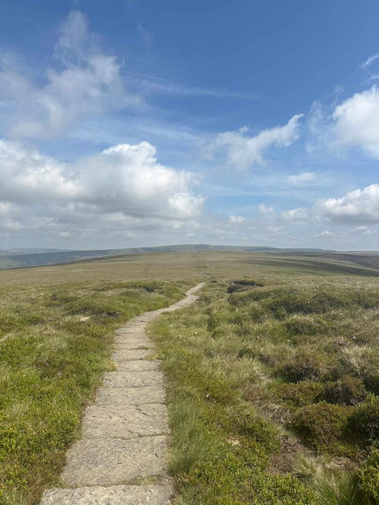
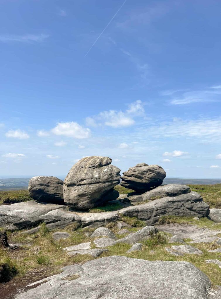
Crossing Snake Pass, we then followed the Pennine Way to Bleaklow Head. The route is fairly easy to follow in clear weather, with stone arrow markers, but does get fainter in places, and the on-ground path deviates slightly from that shown on the OS Map. Reaching Bleaklow Head, we then set off south-west to the Wain Stones or the Kissing Stones.
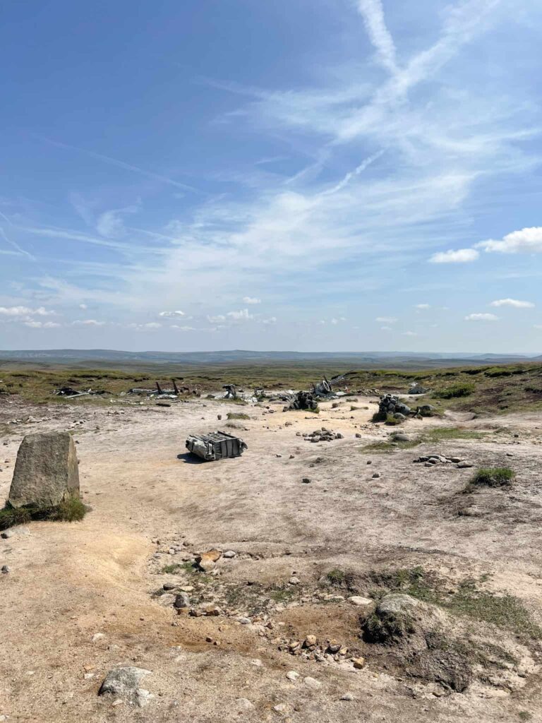
On a clear day you can see over to the next waypoint, the Hern Stones, and it’s a relatively flat hike south. From the Hern Stones we headed south-west to the “Bleaklow Bomber” plane wreck site, that of the RB29 Superfortress “Overexposed” which crashed in 1948 killing everyone on board.
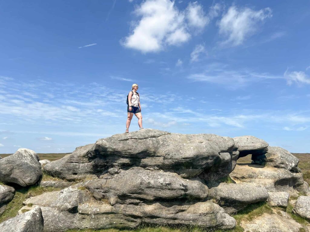
From the plane wreck site it’s a short walk to the trig point at Higher Shelf Stones and the last summit of the Derbyshire 3 Peaks!

Heading south, we continued over the well worn path across Gathering Hill to cross the stream at Crooked Clough and then followed the edge path for around half a mile. The path forks near to the gate leading down Doctors Gate, and climbs up to rejoin the Pennine Way. We turned right to head back to Snake Pass, crossed the road and hiked back along the Pennine Way to Mill Hill. Turning left to reach the crossroads marker, we then took the path down into Hayfield which heads down William Clough.
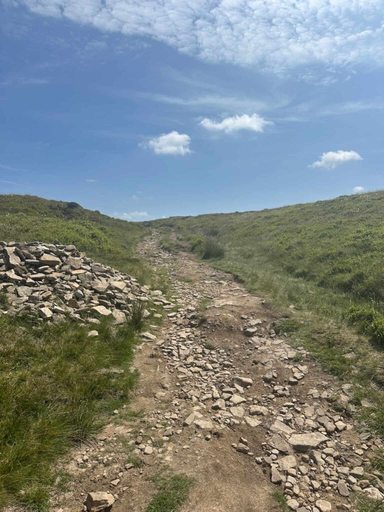

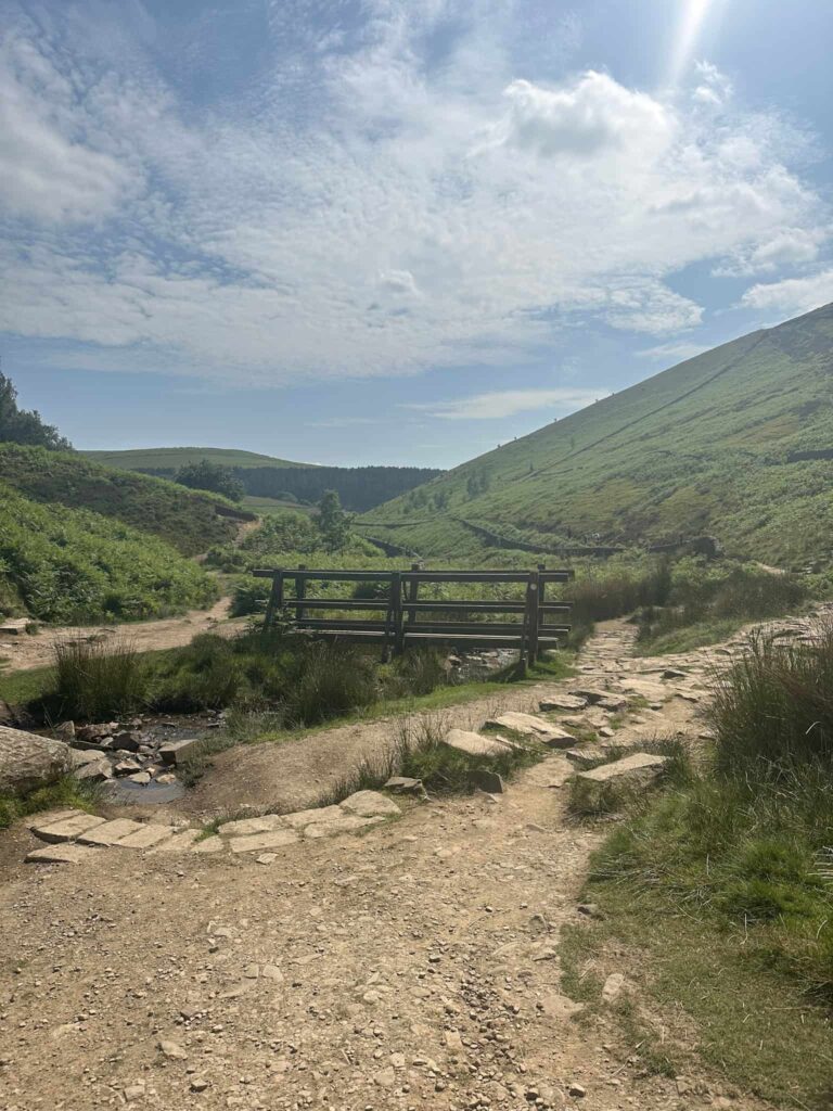
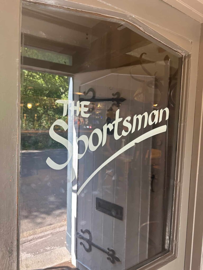
This is quite rocky in places, and the route uses both sides of the Clough, dropping down until we reached the wooden bridge. From here we took the bottom path, and walked along the wall above the Reservoir, turning left to walk down the steep cobbled path to reach Kinder Road. We followed Kinder Road back to Bowden Bridge, and then went to the Sportsman to have a well earned pint.
The Derbyshire 3 Peaks walk is a great route for a challenging day hike, and would be great training for other challenge hikes such as the Yorkshire 3 Peaks or Derwent Valley Skyline.
Derbyshire 3 Peaks Walk Map:

Walk Map (Opens in OS Maps): Derbyshire 3 Peaks Walk Map
Parking: Bowden Bridge Car Park, Kinder Road, Hayfield, High Peak SK22 2LJ – pay and display. There are also some free spaces on the roadside but these fill up early. W3W:///land.cools.trio
Facilities: There are public toilets next to the Hayfield Campsite. There are no facilities on the route. Remember to Leave No Trace and take all your rubbish away with you.
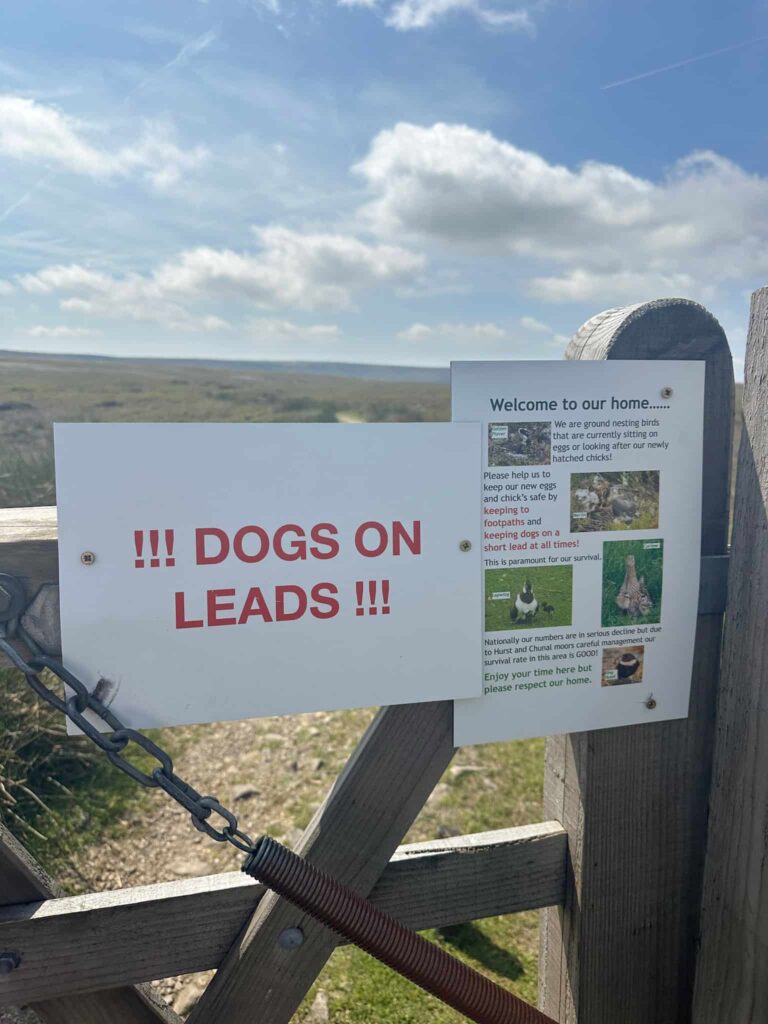
Dogs: Dogs should be on a lead at all times. The route passes through farmland and the National Trust‘s Kinder Scout National Nature Reserve, and there are what seems like hundreds of National Trust signs advising dogs need to be on leads. The route also passes through Open Access Land, where by law, between March and August dogs need to be on a short lead to protect ground nesting birds.
Walk Time: The challenge is to complete the hike in under 10 hours.
Difficulty: ▲▲▲
Distance: 18.5 miles (29.8km)
Trig Points Bagged: Kinder Low, Higher Shelf Stones
Peak District Ethels Bagged: Kinder Scout, Mill Hill, Bleaklow Head, Higher Shelf Stones
More challenging Peak District walks you might like:
Derwent Valley Skyline Walk | 24.5 Miles
Derwent Reservoirs Circular (Dambusters Challenge Walk)