• 3 Mile Walks or Less
  • 4 Mile Walks
  • 5 Mile Walks
  • 6 Mile Walks
  • 7 Mile Walks
  • 8 Mile Walks
  • 9 Mile Walks
  • 10 Mile Walks
  • 11 Mile Walks
  • 12 Mile Walks
  • 14 Mile Walks
  • 15 Mile Walks
  • 20+ Mile Walks

The Wandering Wildflower

Peak District Hikes

  • PEAK DISTRICT WALKS
    • SHORT WALKS UNDER 3 MILES
    • MEDIUM WALKS 4-9 MILES
    • LONG PEAK DISTRICT WALKS 10 MILES +
  • PEAK DISTRICT WALKS WITH PUBS
  • PEAK DISTRICT WALKS WITH KIDS
  • HOLMFIRTH WALKS

Kentmere Horseshoe | 13 Miles

May 20, 2024 LAKE DISTRICT WALKS

The Kentmere Horseshoe is a true Lake District classic and is one of the remotest hikes in the Lake District. There are a few variations of the Kentmere Horseshoe, but this version visits 8 Wainwrights (Yoke, Ill Bell, Froswick, Thornthwaite Crag, Mardale Ill Bell, Harter Fell, Kentmere Pike and Shipman Knotts) over almost 13 miles.

Views of the Kentmere Horseshoe
The valley near Kentmere with the summits of Yoke, Ill Bell, Froswick and Thornthwaite Crag in the distance in the Lake District. Photo from Adobe under Licence.

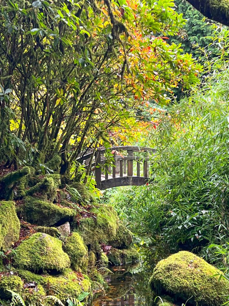
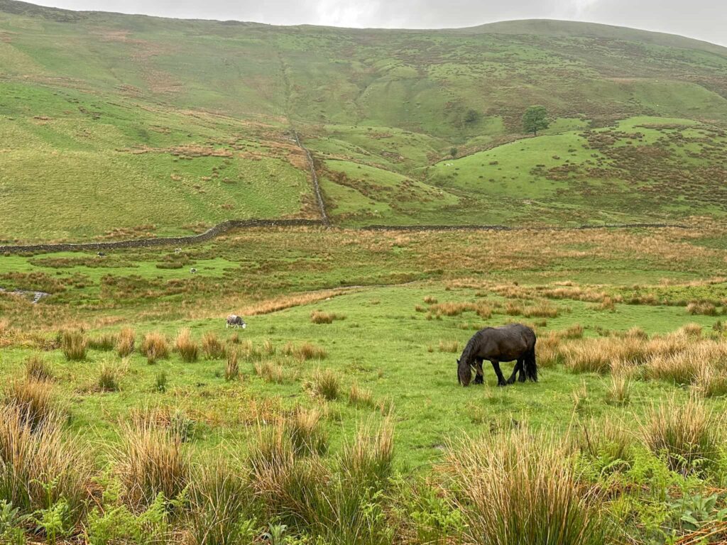
If only our views had been like the photo above! We stayed in Grasmere for a mini break while Hols was on a school trip and during our trip we had planned this day hike for our only full day there. The weather was horrific for this walk but lovely for the Helm Crag, Gibson Knott, Calf Crag and Steel Fell | 7 Miles and Rannerdale Knotts [and the Bluebells] | 4 Miles walks we did either side of this one!

Kentmere Horseshoe Wainwrights

The walk visits the summits of 8 Wainwrights in total:

  • Yoke (707 m)
  • Ill Bell (757 m)
  • Froswick (720 m)
  • Thornthwaite Crag (784 m)
  • Mardale Ill Bell (760 m)
  • Harter Fell (Mardale) (779 m)
  • Kentmere Pike (731 m)
  • Shipman Knotts (587 m)

You can also add on High Street and Gray Crag as a short detour for an extended Kentmere Horseshoe walk.

The Kentmere Horseshoe Route

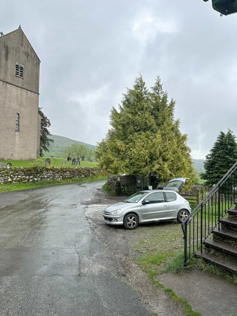
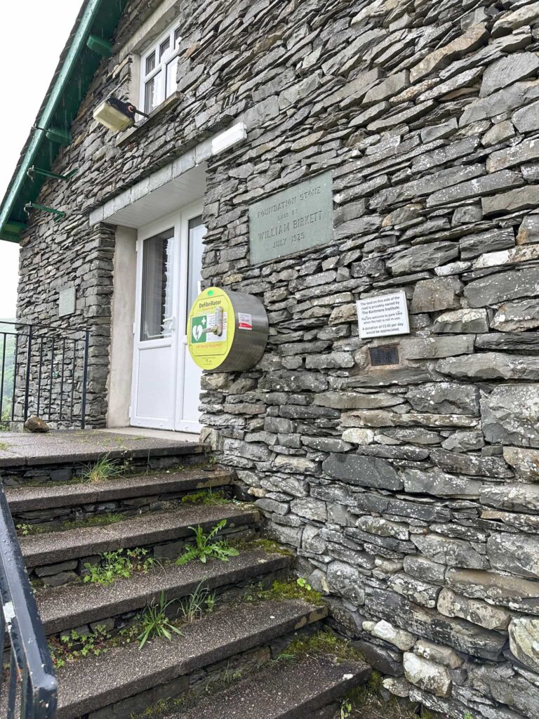
Our walk starts from the tiny car park owned by the Kentmere Institute, just across from St Cuthbert’s Church. Kentmere itself is a tiny village with no pubs or shops and very narrow (often single track) roads, so parking is very difficult to come by. The Kentmere Institute has an honesty box with a suggested donation of £3, which is more than fair. If this is full there is a farmer who opens his field just down the hill – check there for availability.

A silver Peugeot 206 with the boot open
the Kentmere Institute building
The honesty box at the Kentmere Institute building

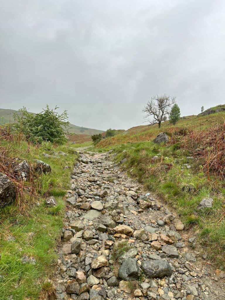
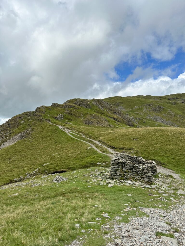
We set off from the church up the hill on Garburn Road, passing the Badger Rock and heading to the Garburn Pass. Our route followed the Pass for about 0.8 miles before forking off right and following a faint path straight up the hillside. You can follow the Pass up the hill and join a footpath leading to Yoke, and in hindsight this would have been a better (dryer!) route. Once we hit the level ground at the top of the climb, we made for a dry stone wall and picked up the well made path leading to the summit of our first Wainwright of the day, Yoke, topped by a small cairn.

A rough track
Gardon Pass
A woman climbing a steep hillside
A view of Yoke from the Garburn Pass
A view of the climb up to the right (and also the dryer path to the left!) from the Garburn Pass
Yoke summit
Yoke summit

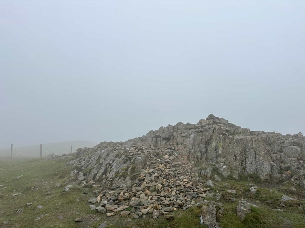
From Yoke it’s less than a mile to hike to Ill Bell, with its twin cairns. We visited both just to make sure we’d been to the summit! It was so misty we could only see one of them at any one time. We followed the ridge, marvelling at the lack of views, and then we soon reached Froswick, marked by a small cairn.

One of the cairns on Ill Bell
Views from Ill Bell to Froswick
Froswick summit
Froswick summit

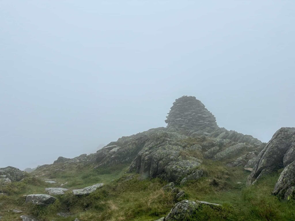
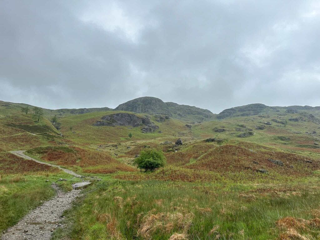
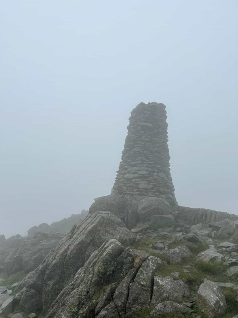
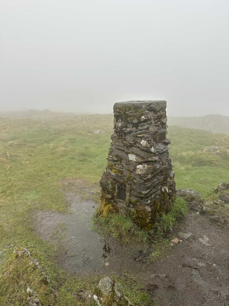
The next Wainwright summit on the route is Thornthwaite Crag, whose summit is topped by the Beacon (what looks like a huge trig point). This fell is at the head of a few adjoining valleys so the views from here will be especially amazing on a clear day.

Thornthwaite Beacon, a large stone cairn
Thornthwaite Beacon, the summit of Thornthwaite Crag

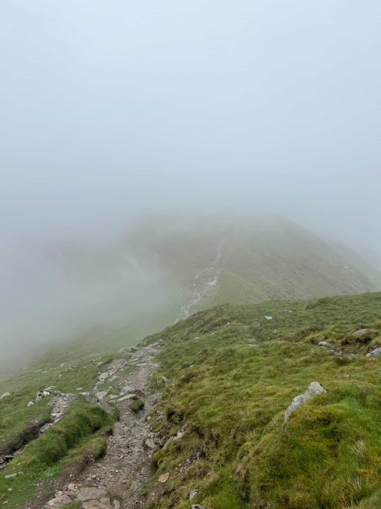
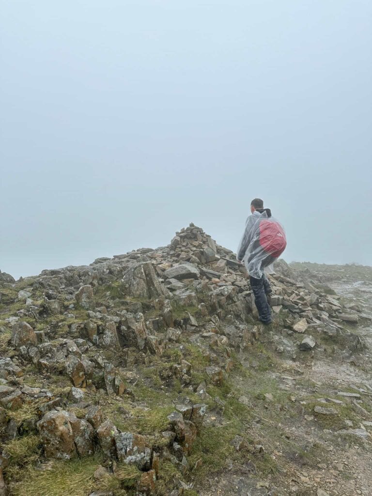
From Thornthwaite Crag we set off east then north to pick up the route of the old Roman road, High Street. The path leads off to the summit of the fell High Street with its trig point and it does have some fabulous views. We didn’t visit on this walk as we’d already been as part of the Mardale Horseshoe and by this point our waterproofs were drenched, our feet were wet and we’d had to break out the emergency ponchos – we did most of the rest of the walk looking like we were heading for the log flume at a theme park!

Mardale Ill Bell summit

We followed a faint path over the grassy hilltop to join the path to Mardale Ill Bell and then dropped down the steps to the shelter at the top of the Nan Bield Pass. We don’t have much luck with this shelter – on our Mardale Horseshoe hike someone else was in it, and it was the same with this hike!

Rock formations near the top of the Nan Bield Pass
Rock formations near the top of the Nan Bield Pass. You can just make out the stone shelter in the mist
Stone steps up a fell in the Lake District
This is the path coming down to the Nan Bield Pass shelter, taken on a clearer day!
A small stone shelter at the top of Nan Bield Pass
The stone shelter, taken on a clear day looking towards Mardale Ill Bell from Harter Fell

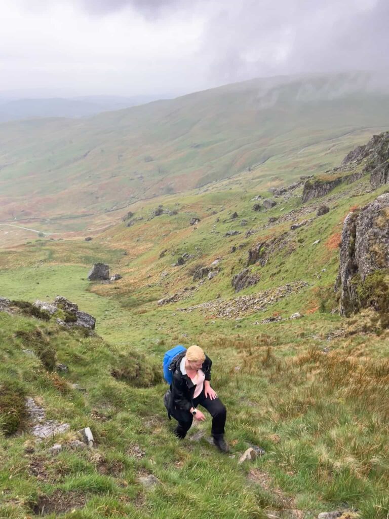
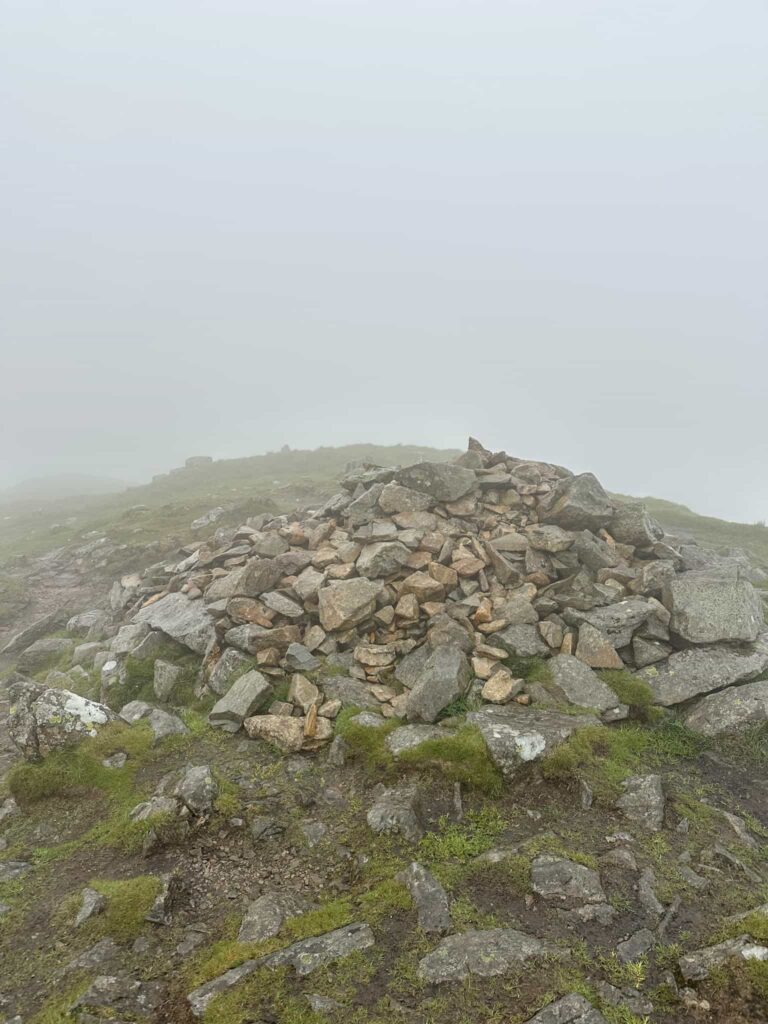
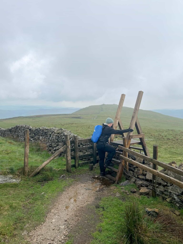
The path leads past the shelter and climbs up to the summit of Harter Fell, marked by a stone cairn which has old fence posts in and amongst it. We followed the path running south along the stone wall to Kentmere Pike and it’s stone trig point. The trig point is over the wall, so don’t miss it! Crossing back over the stile, we continued down the hillside, over a super tall ladder stile and headed towards Shipman Knotts.

Kentmere Pike trig point
A woman climbing a wooden ladder stile

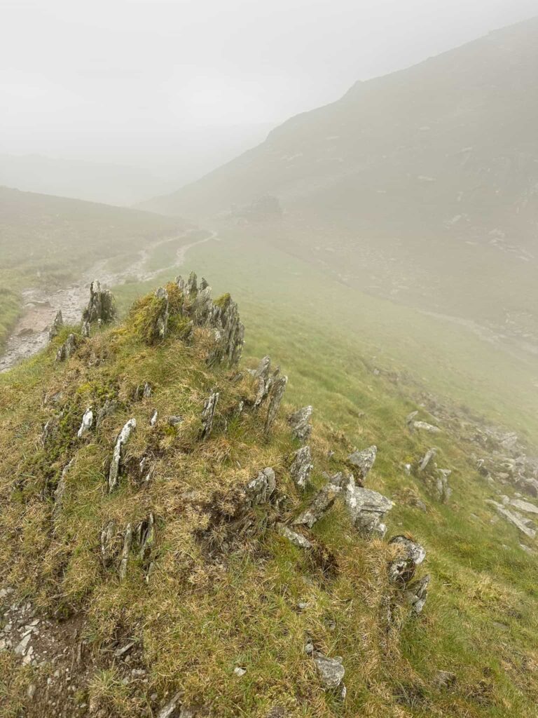
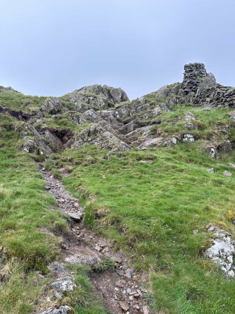
There isn’t much of a summit marker at Shipman Knotts, but we continued on to Wray Crags. The footpath tends to stay more towards the wall and there is a short scramble down.  The path heads down to join a bridleway and we followed this down the hillside, passing some beautiful fell ponies, and joining High Lane, from where you’ll be able to see St Cuthbert’s Church in the distance. Follow the road back to the car.

Looking back up at the scramble section of Wray Crag
A black fell pony grazing on the hillside in Cumbria
Beautiful fell ponies

Kentmere Horseshoe Walk Details:

Walk Map (Opens in OS Maps): Kentmere Horseshoe Map

Parking: A very small parking area at the Kentmere Institute, Kentmere, Cumbria, LA8 9JL opposite St Cuthbert’s Church – Honesty Box donation of £3 | W3W:///passions.mixer.torso.

Alternatively there is a farmer who sometimes opens his field for parking just down the hill from the church near to W3W:/// zeal.breakfast.drum

Facilities: None

Walk Time: 6-8 hours

Difficulty: ▲▲▲

Distance: 12.9 miles (20.5km)

Trig Points Bagged: Kentmere Pike

Wainwrights Bagged: Yoke, Ill Bell, Froswick, Thornthwaite Crag, Mardale Ill Bell, Harter Fell, Kentmere Pike, Shipman Knotts


For more Wainwright walks you might like:

Fairfield Horseshoe Hiking Route | 11 Miles

Langdale Pikes Circular via Jack’s Rake

Mardale Horseshoe | 10 Miles

Coledale Horseshoe – A Lake District Classic Walk | 9 Miles

and check out the list of the Wainwrights by book for a specific fell and walk to bag it.

Tap to share with your hiking friends!

  • Facebook
  • Email
  • WhatsApp
« Rydal Cave Walk, Ambleside | 2 Miles
Helm Crag, Gibson Knott, Calf Crag and Steel Fell | 7 Miles »

RELATED POSTS

  • Striding Edge - The Wandering WildflowerHelvellyn via Striding Edge | 8 Miles
  • Burnbank Fell, Blake Fell and Gavel Fell | 8 Miles
  • A woman looking up at the fells of Crag Hill and SailColedale Horseshoe – A Lake District Classic Walk | 9 Miles
  • Cat Bells walking route with High Spy, Dale Head Tarn and Newlands Valley - The Wandering WildflowerCatbells Hiking Route | 8 Miles

Leave a Reply Cancel reply

Your email address will not be published. Required fields are marked *

FIND YOUR NEXT WALK:

ABOUT ME

Y Garn with Kids - Y Garn via the Devil's Kitchen Walk in Ogwen Valley

Hello! I’m Jo! Welcome to The Wandering Wildflower, an outdoors lifestyle blog focusing on family walks in the Peak District, a place we love exploring. I want to share the Peak District hidden gems and show you there’s so much more than the honeypot places. When I’m not dragging my husband and now 11 year old out on Peak District walks or up mountains, I can be found on planning my next moorland walk or plotting a Geocache walk (and seeing where the nearest pub is!). I love the hills but hate the heights, so trig bagging is – er- fun!


I hope this blog will give you some ideas of places to visit in the Peak District and inspire you and your family to head into the great outdoors.  Thanks for stopping by!

CATEGORIES

  • CIRCULAR WALKS (188)
  • HOLMFIRTH WALKS (27)
  • ISLE OF SKYE WALKS (3)
  • LAKE DISTRICT WALKS (24)
  • LANCASHIRE WALKS (2)
  • LONG PEAK DISTRICT WALKS 10 MILES + (42)
  • MEDIUM WALKS 4-9 MILES (136)
  • PEAK DISTRICT SCRAMBLES (16)
  • PEAK DISTRICT WALKS (202)
  • PEAK DISTRICT WALKS WITH KIDS (75)
  • PEAK DISTRICT WALKS WITH PUBS (60)
  • SCOTLAND WALKS (6)
  • SHORT WALKS UNDER 3 MILES (40)
  • SNOWDONIA WALKS (5)
  • UK CAMPING (5)
  • YORKSHIRE WALKS (33)

Peak District Walks

List of Peak District Ethels

Peak District Peak Bagging

Peak District Trig Point Challenge

Peak District Walks with Pubs

Peak District Walks with Kids

Beautiful Walks in Holmfirth

Short Walks in the Peak District

Long Walks in the Peak District

AFFILIATE DISCLOSURE

This blog may contain affiliate links through which, at no additional cost to you, I may earn a small commission. I only recommend products I would use myself and all opinions expressed here are my own. As an Amazon Associate I earn from qualifying purchases. Read full privacy policy here.

ARCHIVES

PEAK DISTRICT WEATHER

Peak District mountain weather on Met Office

Peak District Trig Points

Promo image for a blog post about the Peak District Trig Point Challenge With Map of Peak District Trig Points and Walking Routes by The Wandering Wildflower

Peak District Ethels Challenge

Promo image for a blog post about the Peak District Trig Point Challenge With Map of Peak District Ethels and Walking Routes by The Wandering Wildflower

WALKING ROUTES STRAIGHT TO YOUR INBOX

Want new walks in your inbox? Drop your email below and I'll send you some ideas for walks you can try.

You can unsubscribe anytime. For more details, review our Privacy Policy.

Thank you!

You have successfully joined our subscriber list.

RSS LATEST POSTS

  • Burnbank Fell, Blake Fell and Gavel Fell | 8 Miles
  • Bretton Park Circular Walk | 3 Miles
  • Hathersage Stepping Stones Walk | 7 Miles
  • Ladybower Walk | 6 Miles
  • Derbyshire Peak District Walks

FOLLOW ON PINTEREST

Want new walks in your inbox? Drop your email below and I'll send you some ideas for walks you can try.

You can unsubscribe anytime. For more details, review our Privacy Policy.

Thank you!

You have successfully joined our subscriber list.

jo@thewanderingwildflower.co.uk

The Wandering Wildflower

  • Email
  • Facebook
  • Instagram
  • Pinterest
  • PRIVACY POLICY
  • TERMS & CONDITIONS
  • ABOUT

(c) The Wandering Wildflower. All Rights Reserved.

|| THEME BY ECLAIR DESIGNS