• 3 Mile Walks or Less
  • 4 Mile Walks
  • 5 Mile Walks
  • 6 Mile Walks
  • 7 Mile Walks
  • 8 Mile Walks
  • 9 Mile Walks
  • 10 Mile Walks
  • 11 Mile Walks
  • 12 Mile Walks
  • 14 Mile Walks
  • 15 Mile Walks
  • 20+ Mile Walks

The Wandering Wildflower

Peak District Hikes

  • PEAK DISTRICT WALKS
    • SHORT WALKS UNDER 3 MILES
    • MEDIUM WALKS 4-9 MILES
    • LONG PEAK DISTRICT WALKS 10 MILES +
  • PEAK DISTRICT WALKS WITH PUBS
  • PEAK DISTRICT WALKS WITH KIDS
  • HOLMFIRTH WALKS

Kinder Scout, Brown Knoll, South Head and Mount Famine | 8 Miles

February 8, 2025 CIRCULAR WALKS, MEDIUM WALKS 4-9 MILES, PEAK DISTRICT WALKS

This hike explores the moorland to the south-west of the Kinder Scout Nature Reserve. It visits the trig points at Kinder Low and Brown Knoll as well as the 4 Ethels of Kinder Scout, Brown Knoll, South Head and Mount Famine. Not bad for a walk under 8 miles!


A stone slabbed path on the moors, leading to a white trig point

Another lovely day for a walk on the moors! We always seem to get the weather…

The Ethels are a collection of hills over 400m in the Peak District forming a hiking challenge created by CPRE celebrating the life and work of Ethel Haythornwaite. Here’s a list of the Ethels and walks to visit them. There’s also a few trig point bagging challenges you could join in with. There’s now 87 Peak District trig points (the one at Chinley Churn has been removed by the landowner) or if you didn’t fancy spending time looking up the landowners details (or trespassing) to visit the trigs you might like the Accessible Trig Points List which has 63 trigs you can visit.


Another day, another misty walk for us! This is a lovely walk in the summer when the weather is good!


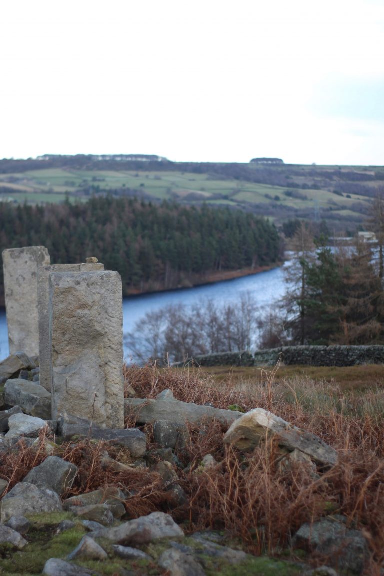
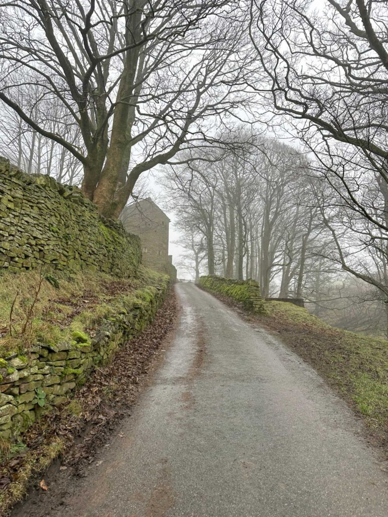
We started our walk from the layby near the Peep O’Day Farm, built in 1841. Over the front arched door there is a large glass eye which catches the morning sun, hence the name. We crossed the road and headed up the track, passing a quarry.


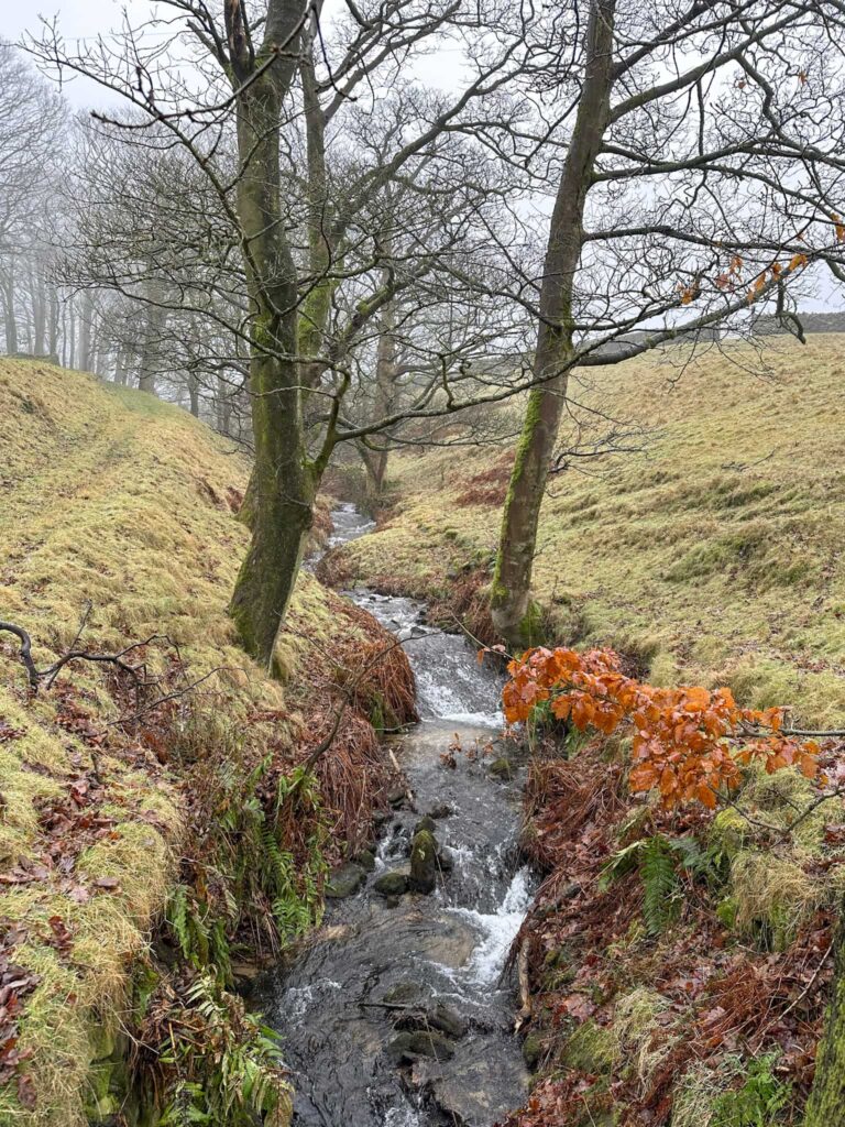
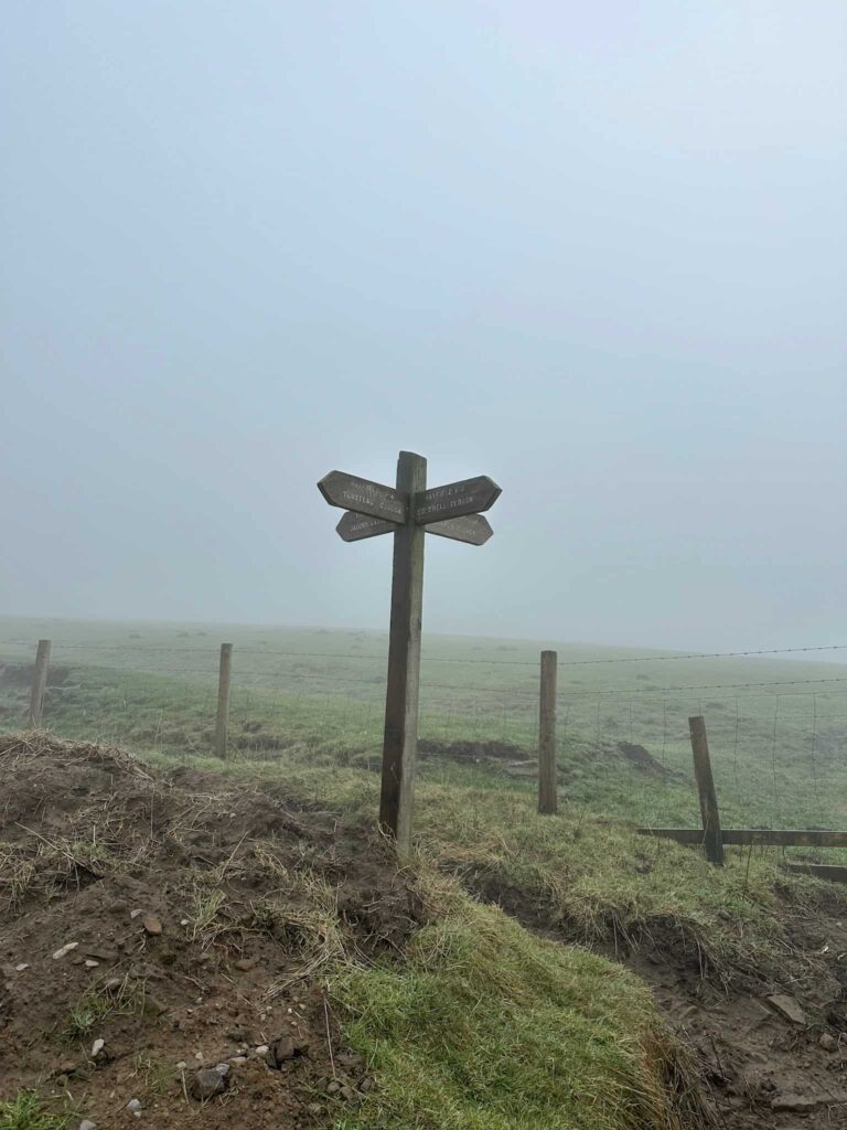
The track leads to an open area – the footpath has a Peak and Northern Footpaths sign (green sign) showing the way. It heads along a fenced off field edge before crossing a field, heading through a gate. We followed the track down the hill before turning right at the fork. It heads steeply down to a stile crossing a stream, and then into another field and heading downhill to another stream with a wooden bridge over.

A Peak and Northern Footpaths sign post

A misty view of a field

A woodland stream

A farm track with a tree and farmhouse on the left of the image

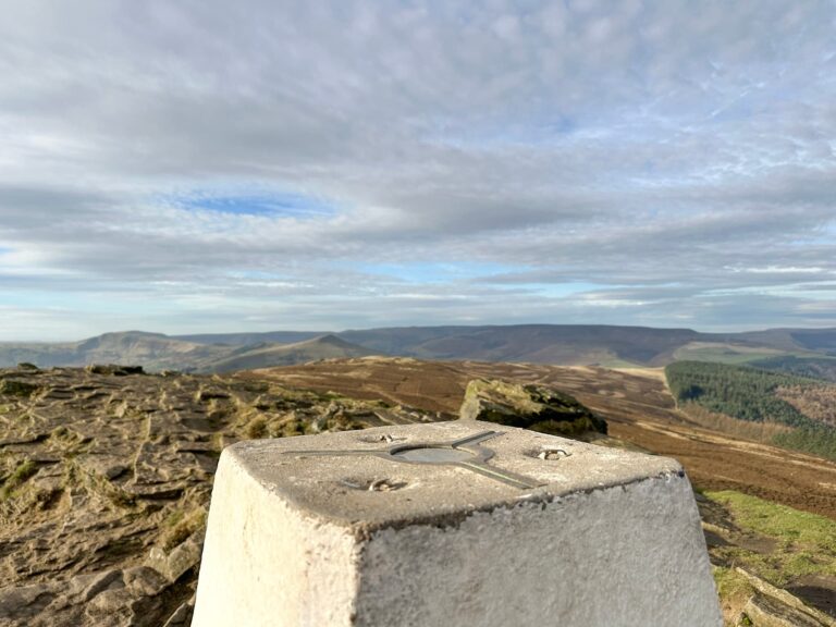
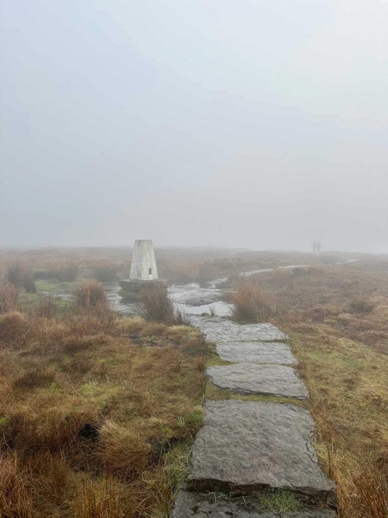
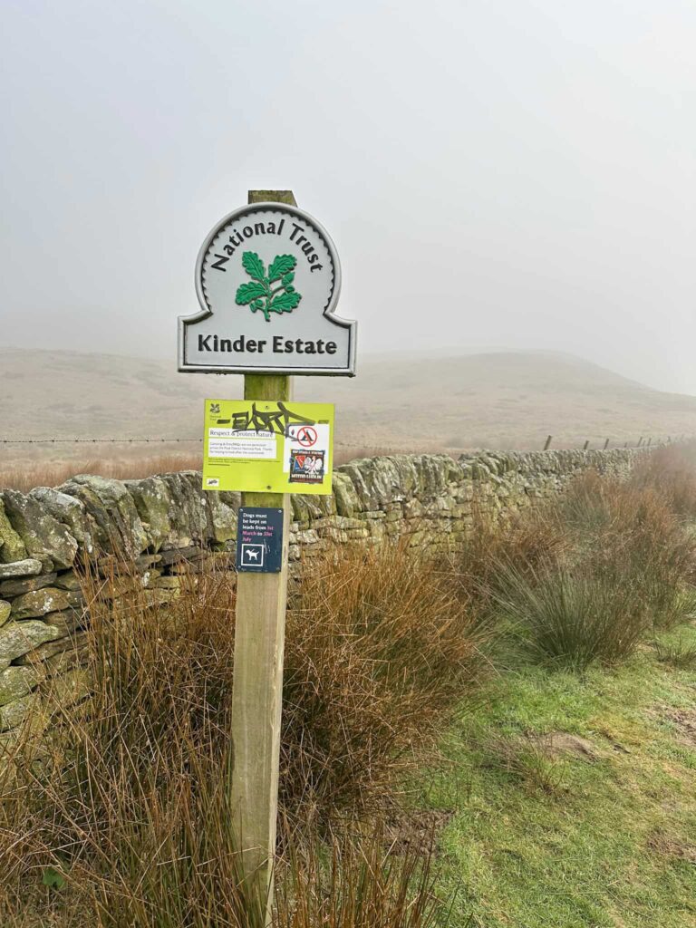
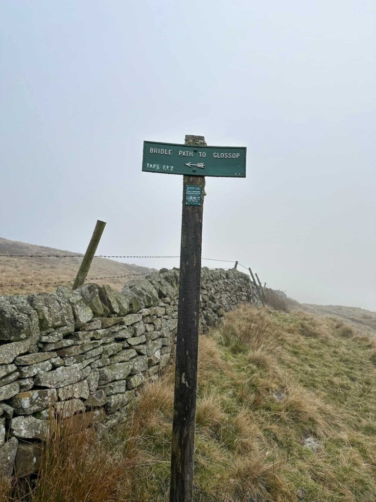
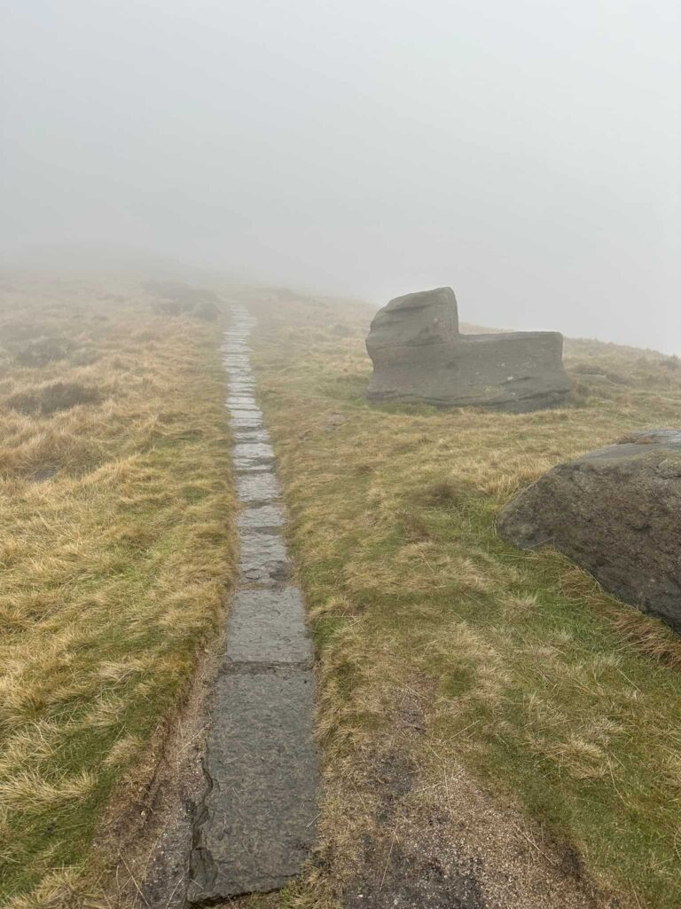
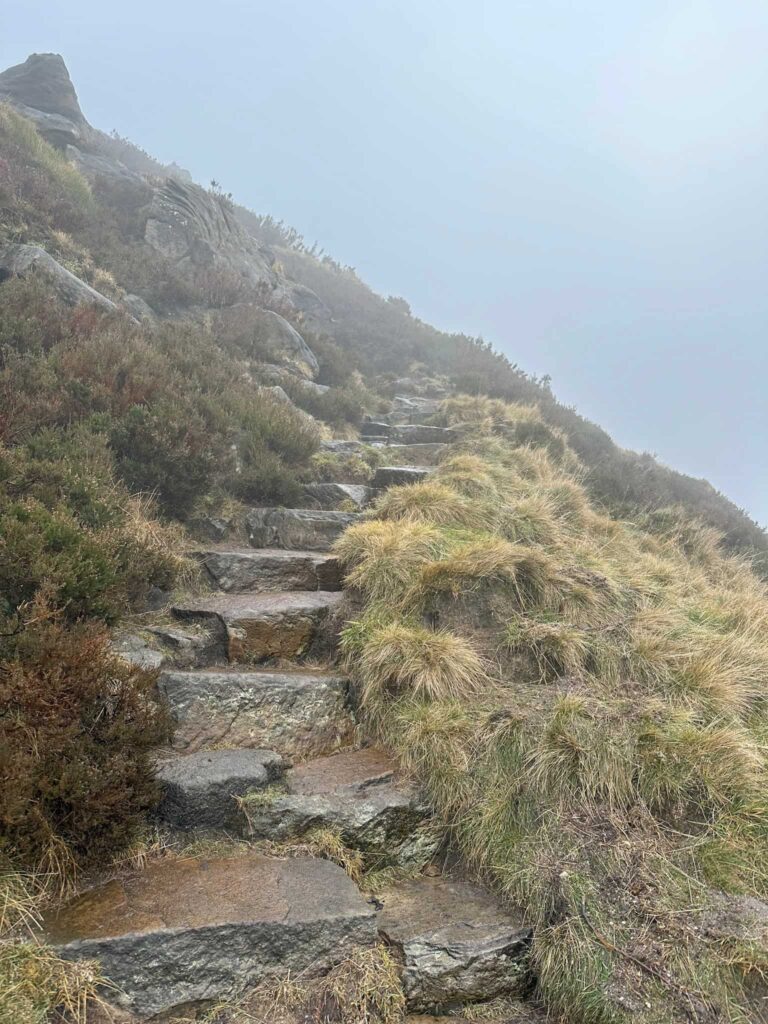
Crossing the bridge, we turned right onto the farm track and followed this past the fields until we reached the National Trust sign for the Kinder Estate. We took the path with the Bridleway to Glossop small green sign on, and followed this until we reached a wall. Passing through the gate we turned right and started to climb steeply up Kinderlow End. At the summit is a bronze age burial cairn (fenced off). We skirted round the cairn and followed the stone slabbed path a short distance before it ran out, before heading to the Kinder Low trig point.

A wooden signpost with four directions

A National Trust signpost for Kinder Estate

A green signpost for Bridleway to Glossop

A stone slabbed path on the moors with a strange shaped rock to the right of it.

A misty view of some stone steps into the hillside

A misty view of Kinder Low trig point

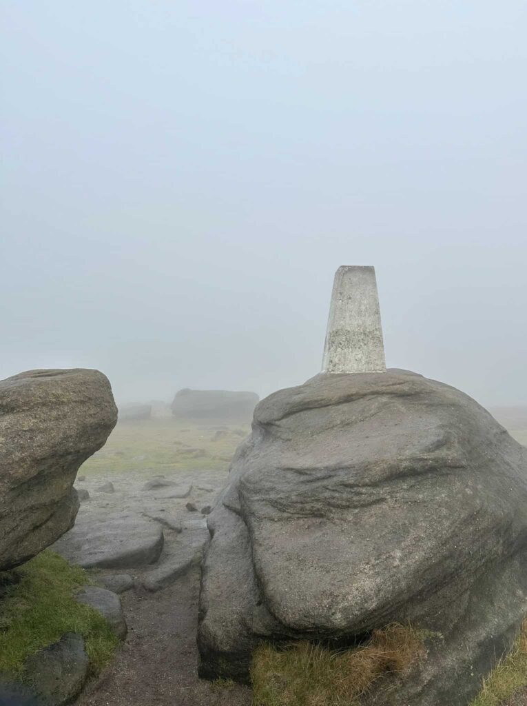
The creators of the Ethels have changed their requirements for bagging Kinder Scout, and now a visit to the Kinder Low trig point will suffice. This is only 3m or so lower than the actual summit (located approximately 500m away in open moorland) so a lot of people count this as the summit of Kinder Scout.


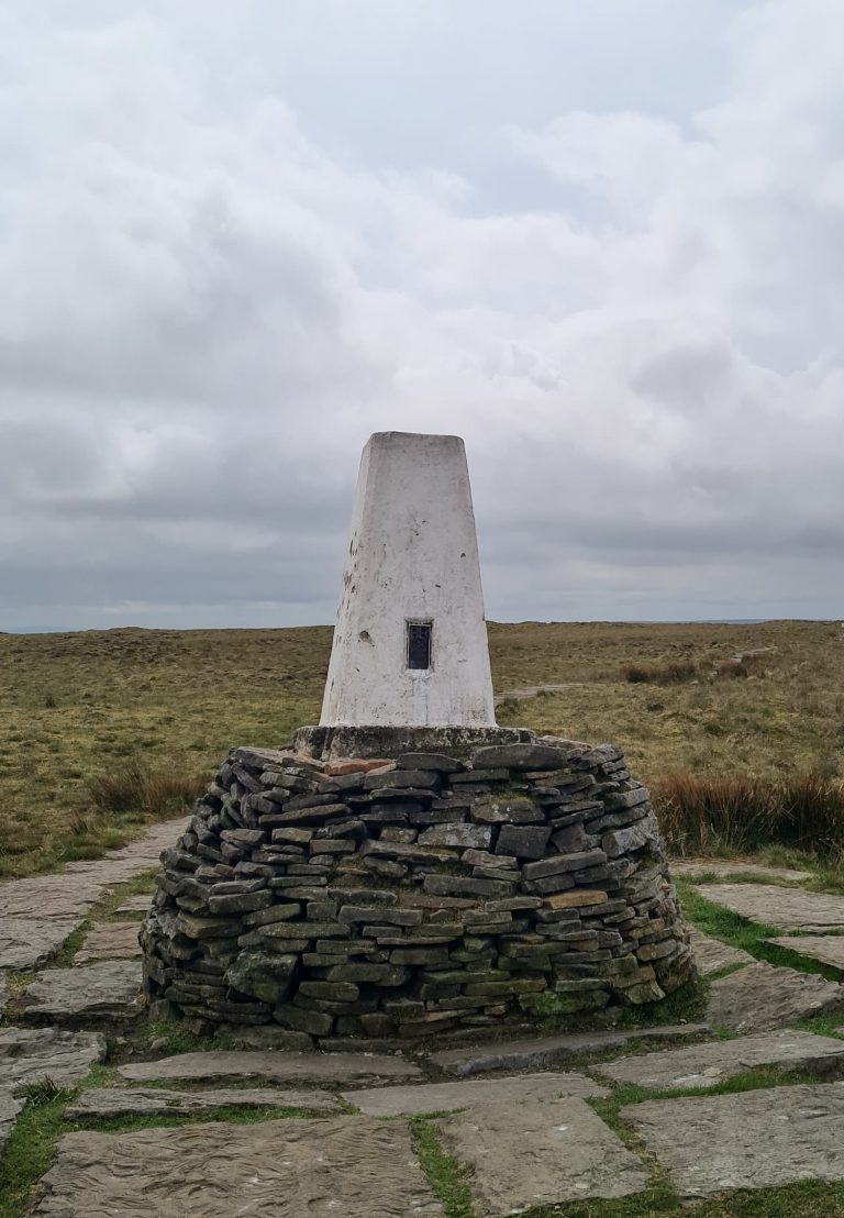
From here we set off south, following the Pennine Way down to Edale Rocks. The path heads down past Swines Back before reaching a crossroads. We turned right over the stile but then continued straight on along the stone slabs. The route continues for just over half a mile before we reached a stile. We hopped over the stile and followed the path a short distance to the Brown Knoll trig point before retracing our steps to rejoin the original path.


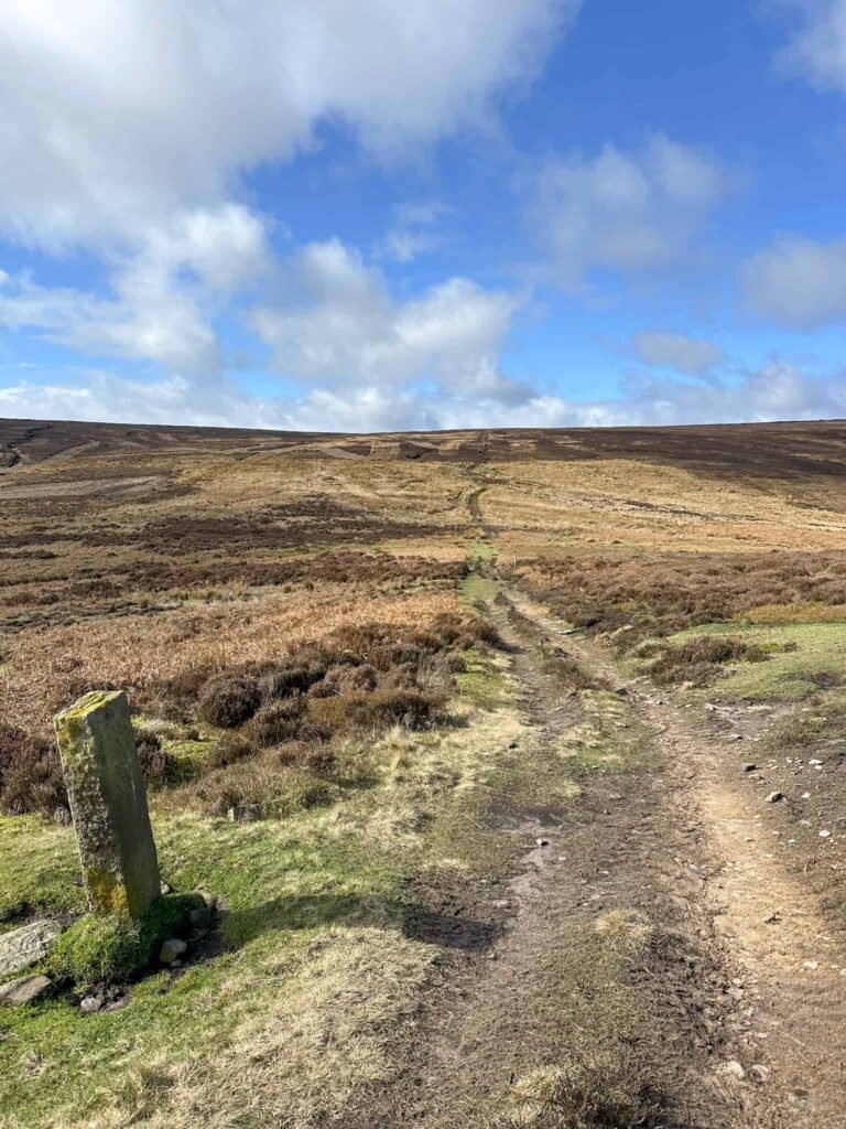
After around a mile and a quarter the fields are crossed by a sandy coloured track. We crossed the track and started the steep climb up to the summit of South Head, marked by a stone cairn.

A misty moorland view

A pile of stones on top of South Head

Lovely views from South Head!

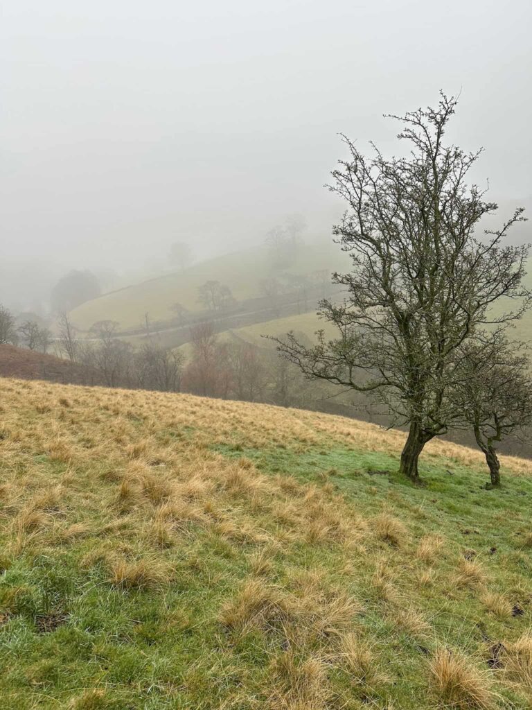
From the top of South Head there are lovely views (on a clear day) over the surrounding area.


We continued down the west side of South Head to rejoin the track briefly before heading up Mount Famine. The route climbs up to the top of the hill and continues across the plateau before descending steeply through some fields before reaching a stile. Over the stile, the path rejoins the trail from earlier, and we returned to the car by retracing our steps.


This is a great walk, probably best saved for a clear day if you want to enjoy the amazing views from Mount Famine over to Kinder Scout. There are also some very muddy parts between Brown Knoll and South Head!


Kinder Scout, Brown Knoll, South Head and Mount Famine Walk Details:


Walk Map (Opens in OS Maps): Kinder Low, Brown Knoll, South Head and Mount Famine Hike

Parking: We parked in the free layby by Peep O’Day Farm, Maynestone Road, Hayfield SK23 6AJ W3W:///swarm.crisps.vibrate

Dogs: Allowed on leads – the route passes farmland and the Kinder Scout Nature Reserve.

Facilities: There are none – remember to Leave No Trace and take all your rubbish (including dog poo) away with you.

Walk Time: 4-5 hours

Difficulty: ▲▲▲

Distance: 7.5 miles (12km)

Elevation: 1800ft (548m)

Trig Points Bagged: Kinder Low, Brown Knoll

Peak District Peaks Bagged: Brown Knoll, South Head, Mount Famine

Peak District Ethels Bagged: Kinder Scout, Brown Knoll, South Head, Mount Famine


For more Kinder Scout walks you might like:

Kinder Scout via Kinder Low | 9 Miles

Kinder Scout 3 Trig Points Walk | 13 Miles

Best Kinder Scout Walks | Guides and GPX Files

Kinder Downfall Walk via Nether Red Brook Scramble | 7 Miles


Tap to share with your hiking friends!

  • Facebook
  • Email
  • WhatsApp
« Lathkill Dale Waterfall Walk | 7 Miles
Jane Eyre Trail – Hathersage | 5 Miles »

RELATED POSTS

  • Hathersage Stepping StonesHathersage Stepping Stones Walk | 7 Miles
  • Ladybower ReservoirLadybower Walk | 6 Miles
  • Anvil Stone, GrindsbrookGrindsbrook Clough Scramble to Grindslow Knoll | 7 Miles
  • A woman crossing a waterfall at Blackden BrookOyster Clough and Blackden Brook to Kinder Plateau (Scramble with Waterfalls)

Leave a Reply Cancel reply

Your email address will not be published. Required fields are marked *

FIND YOUR NEXT WALK:

ABOUT ME

Y Garn with Kids - Y Garn via the Devil's Kitchen Walk in Ogwen Valley

Hello! I’m Jo! Welcome to The Wandering Wildflower, an outdoors lifestyle blog focusing on family walks in the Peak District, a place we love exploring. I want to share the Peak District hidden gems and show you there’s so much more than the honeypot places. When I’m not dragging my husband and now 11 year old out on Peak District walks or up mountains, I can be found on planning my next moorland walk or plotting a Geocache walk (and seeing where the nearest pub is!). I love the hills but hate the heights, so trig bagging is – er- fun!


I hope this blog will give you some ideas of places to visit in the Peak District and inspire you and your family to head into the great outdoors.  Thanks for stopping by!

CATEGORIES

  • CIRCULAR WALKS (189)
  • HOLMFIRTH WALKS (27)
  • ISLE OF SKYE WALKS (3)
  • LAKE DISTRICT WALKS (24)
  • LANCASHIRE WALKS (2)
  • LONG PEAK DISTRICT WALKS 10 MILES + (42)
  • MEDIUM WALKS 4-9 MILES (137)
  • PEAK DISTRICT SCRAMBLES (16)
  • PEAK DISTRICT WALKS (205)
  • PEAK DISTRICT WALKS WITH KIDS (76)
  • PEAK DISTRICT WALKS WITH PUBS (60)
  • SCOTLAND WALKS (6)
  • SHORT WALKS UNDER 3 MILES (40)
  • SNOWDONIA WALKS (5)
  • UK CAMPING (5)
  • YORKSHIRE WALKS (33)

Peak District Walks

List of Peak District Ethels

Peak District Peak Bagging

Peak District Trig Point Challenge

Peak District Walks with Pubs

Peak District Walks with Kids

Beautiful Walks in Holmfirth

Short Walks in the Peak District

Long Walks in the Peak District

AFFILIATE DISCLOSURE

This blog may contain affiliate links through which, at no additional cost to you, I may earn a small commission. I only recommend products I would use myself and all opinions expressed here are my own. As an Amazon Associate I earn from qualifying purchases. Read full privacy policy here.

ARCHIVES

PEAK DISTRICT WEATHER

Peak District mountain weather on Met Office

Peak District Trig Points

Promo image for a blog post about the Peak District Trig Point Challenge With Map of Peak District Trig Points and Walking Routes by The Wandering Wildflower

Peak District Ethels Challenge

Promo image for a blog post about the Peak District Trig Point Challenge With Map of Peak District Ethels and Walking Routes by The Wandering Wildflower

WALKING ROUTES STRAIGHT TO YOUR INBOX

Want new walks in your inbox? Drop your email below and I'll send you some ideas for walks you can try.

You can unsubscribe anytime. For more details, review our Privacy Policy.

Thank you!

You have successfully joined our subscriber list.

RSS LATEST POSTS

  • How to Find Three Shires Head
  • Burnbank Fell, Blake Fell and Gavel Fell | 8 Miles
  • Bretton Park Circular Walk | 3 Miles
  • Hathersage Stepping Stones Walk | 7 Miles
  • Peak District Caves

FOLLOW ON PINTEREST

Want new walks in your inbox? Drop your email below and I'll send you some ideas for walks you can try.

You can unsubscribe anytime. For more details, review our Privacy Policy.

Thank you!

You have successfully joined our subscriber list.

jo@thewanderingwildflower.co.uk

The Wandering Wildflower

  • Email
  • Facebook
  • Instagram
  • Pinterest
  • PRIVACY POLICY
  • TERMS & CONDITIONS
  • ABOUT

(c) The Wandering Wildflower. All Rights Reserved.

|| THEME BY ECLAIR DESIGNS