• 3 Mile Walks or Less
  • 4 Mile Walks
  • 5 Mile Walks
  • 6 Mile Walks
  • 7 Mile Walks
  • 8 Mile Walks
  • 9 Mile Walks
  • 10 Mile Walks
  • 11 Mile Walks
  • 12 Mile Walks
  • 14 Mile Walks
  • 15 Mile Walks
  • 20+ Mile Walks

The Wandering Wildflower

Peak District Hikes

  • PEAK DISTRICT WALKS
    • SHORT WALKS UNDER 3 MILES
    • MEDIUM WALKS 4-9 MILES
    • LONG PEAK DISTRICT WALKS 10 MILES +
  • PEAK DISTRICT WALKS WITH PUBS
  • PEAK DISTRICT WALKS WITH KIDS
  • HOLMFIRTH WALKS

Dovestone Reservoir to Alphin Pike Circular Walk | 10 Miles

December 5, 2021 CIRCULAR WALKS, LONG PEAK DISTRICT WALKS 10 MILES +, MEDIUM WALKS 4-9 MILES, PEAK DISTRICT WALKS, PEAK DISTRICT WALKS WITH PUBS

This Dovestone Reservoir to Alphin Pike circular hike is a perfect Autumn walk in the Peak District. Taking in the reservoir, waterfalls, woodland, moorland, amazing rock formations and Alphin Pike trig point, there’s something for everyone. The walk has a couple of challenging parts but is definitely worth the climb.


Yeoman Hey Reservoir as viewed from Dovestone Reservoir from a blog post about a Dovestone Reservoir to Alphin Pike trig point hike

Yeoman Hey reservoir, looking all autumnal and moody

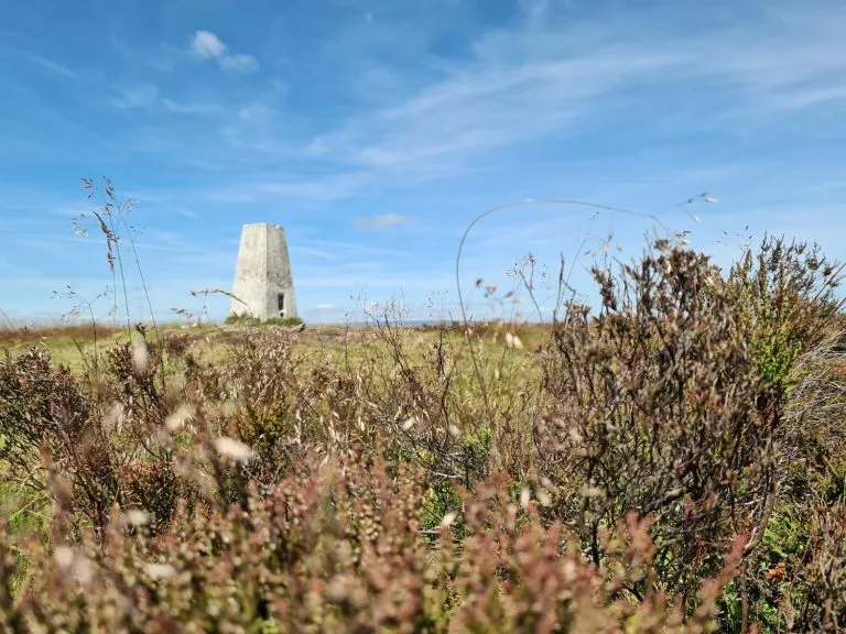
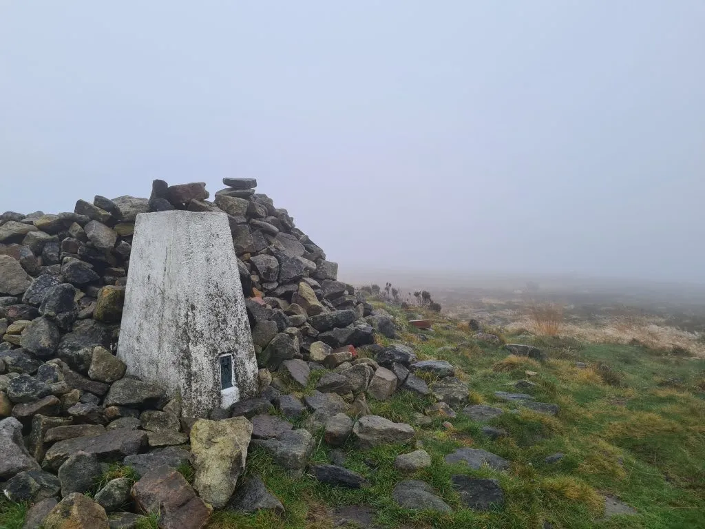
Alphin Pike is a trig point on the north-west boundary of the Peak District. At 469m above sea level it’s pretty high but isn’t actually the highest part of this walk, with that being Hoarstone Edge at 497m. The climb up to Alphin Pike is pretty steep, but once you’re up it’s pretty level going.


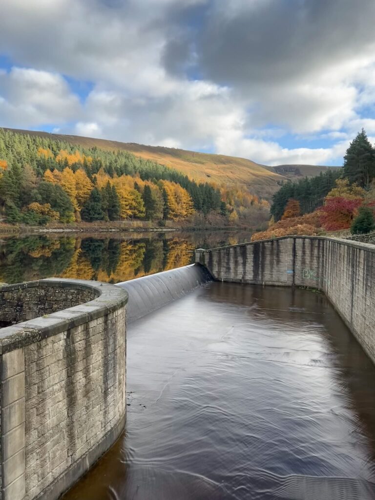
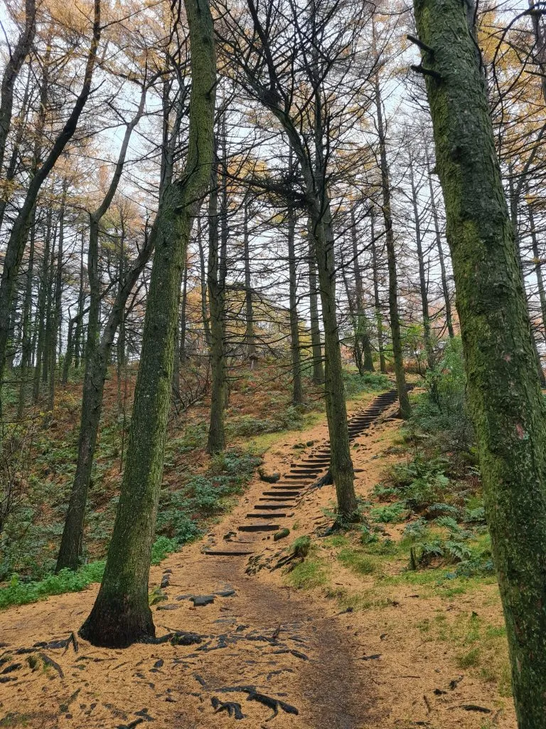
We parked at Binn Green car park and walked through the woods down to Dovestone Reservoir. Our plan initially was to head to The Trinnacle and up to Ashway Moss but the paths were closed by a grouse shoot so we had to change tack. Following the western edge of Dovestone reservoir, we headed past the Sailing Club and past the Chew Piece Plantation.

Binn Green Woods in Autumnn

Binn Green Woods in Autumn

Dovestone Reservoir in Autumn

Dovestone Reservoir


Views over Dovestone Reservoir

Scenic views over Dovestone Reservoir


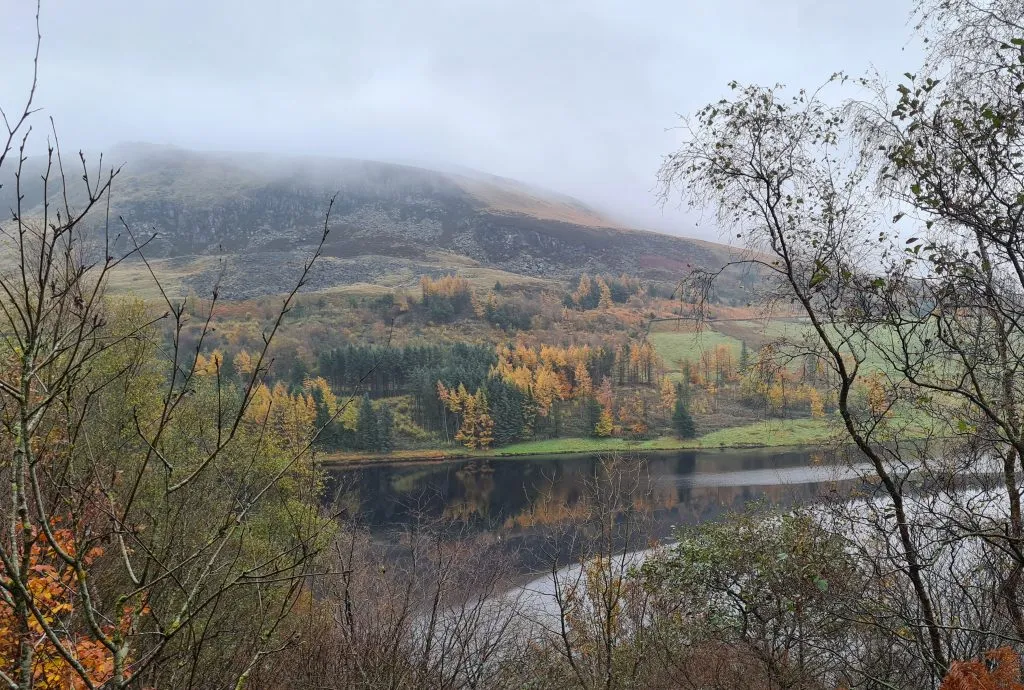
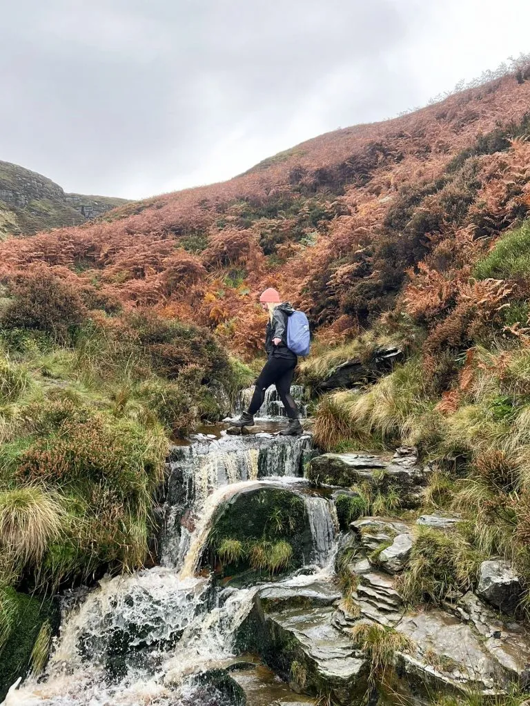
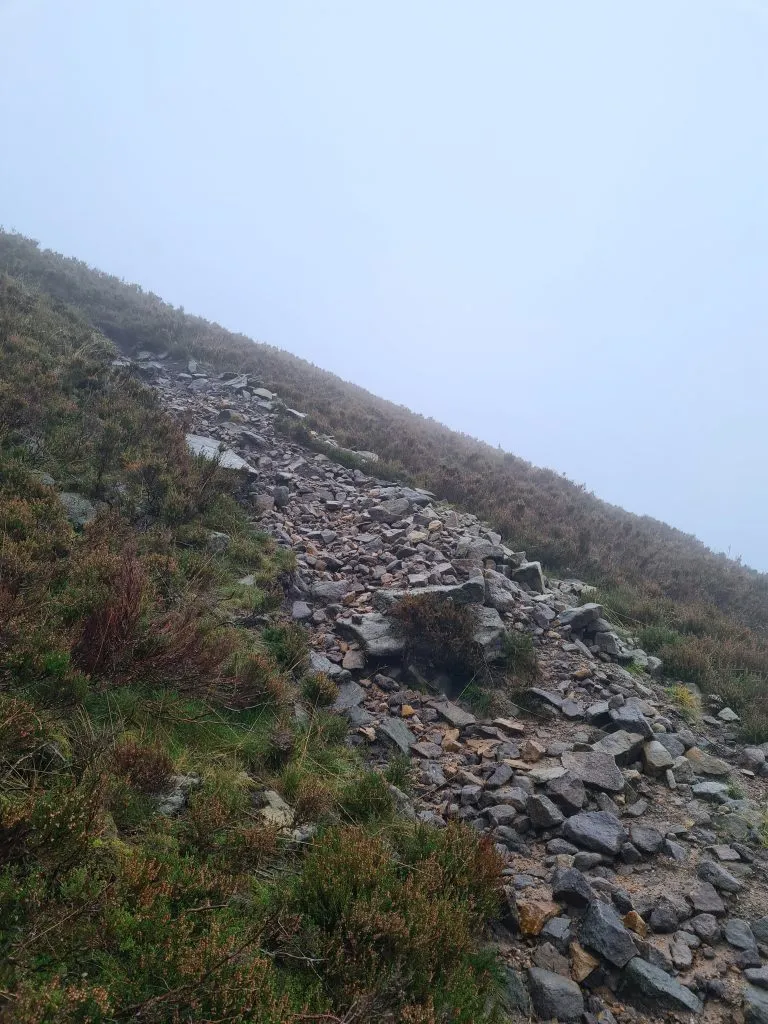
Turning west, you’ll leave the woodland and be out onto moorland farmland. It’s a bit boggy here in wet weather. Before you come to the next gate into woodland, turn left and head up the hill by the edge of the wood. It’s a steep hill, but levels out. After about 250m you’ll see a path leading up the hillside. This is unfortunately the way up to the trig point! It’s really steep and has a few spots where you may have to scramble up as there are loose rocks.


The path up to Alphin Pike trig point.

The path up to Alphin Pike trig point. It’s a bit loose!


The cairn surrounding Alphin Pike trig point in the mist

The cairn surrounding Alphin Pike trig point


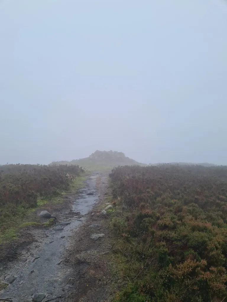
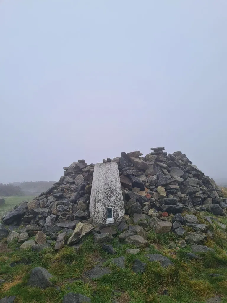
After the slog up the hill you’ll come to a big cairn which is hiding the trig point. This is a trig point even I could get on!

Alphin Pike trig point, Peak District

Alphin Pike trig point, Peak District

Alphin Pike trig point, Peak District

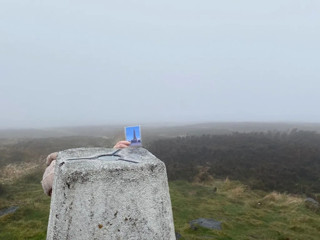
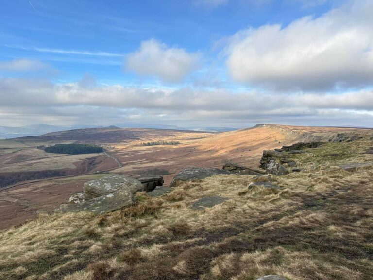
After the photos at Alphin Pike trig point (including a rare glimpse of Blackpool Tower, which I’m always told you can see from these high places but I’ve never seen it yet!) we headed off along the top of the hill over Slack Head Brow.

Amazing rock formations at Stable Stones Brow

Amazing rock formations at Stable Stones Brow

Grouse on a rock


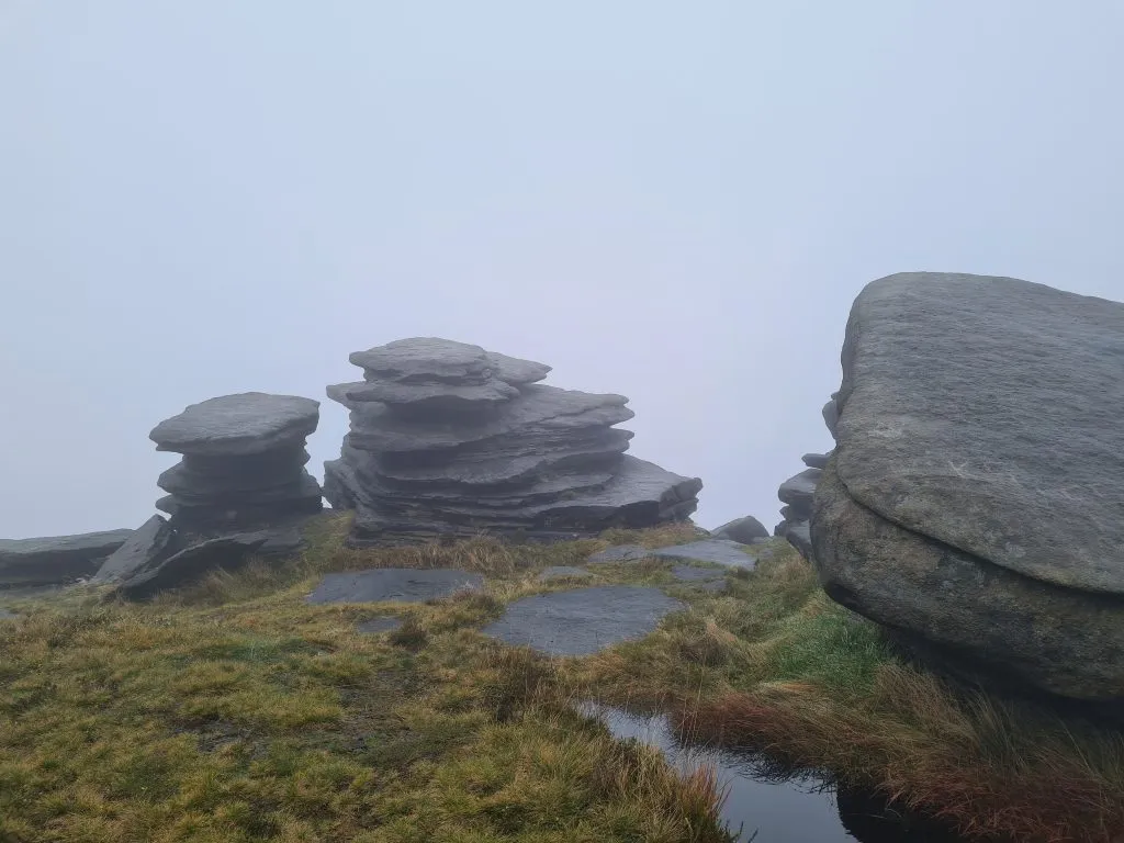
I’m sure the views from here are amazing but as is usual on our hikes, all we had was mist. Lots of mist. The summit of Hoarstone Edge is just open moorland – there’s nothing to mark it.


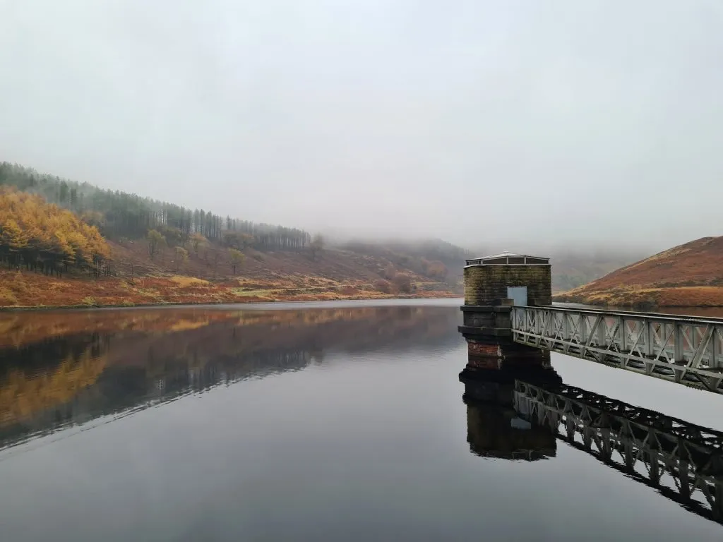
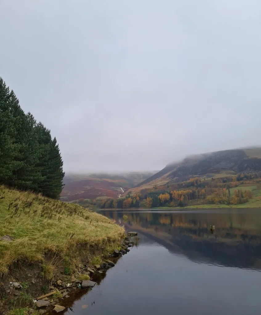
The path eventually comes to the western edge of Chew Reservoir (you can see photos of what Chew Reservoir should look like on Crowden to Featherbed Moss Trig Point – it was hidden in the mist for our walk.


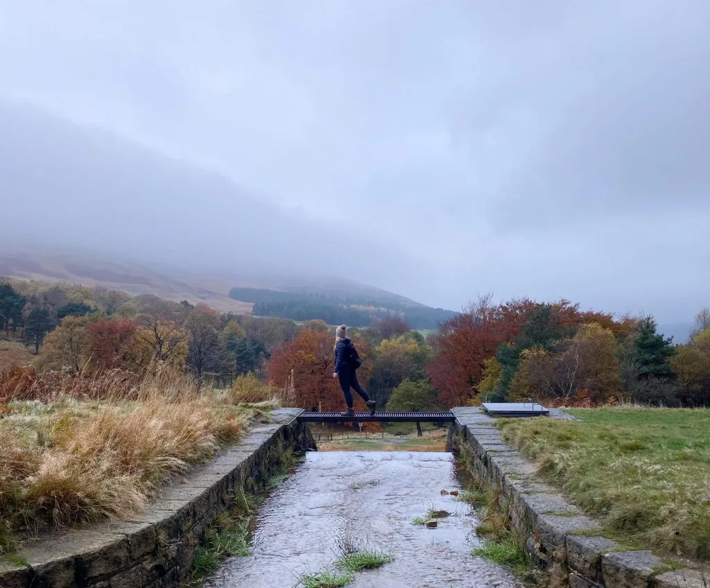
We took the roadway down into the bottom of the valley again and then diverted off the road to explore the old Chew Valley train station. Used for transporting clay up the valley when they were building Chew Reservoir, there’s not much left now other than a wall and a nice flat path.

Footbridge over Chew Brook near the disused Chew Station

Footbridge over Chew Brook near the disused Chew Station


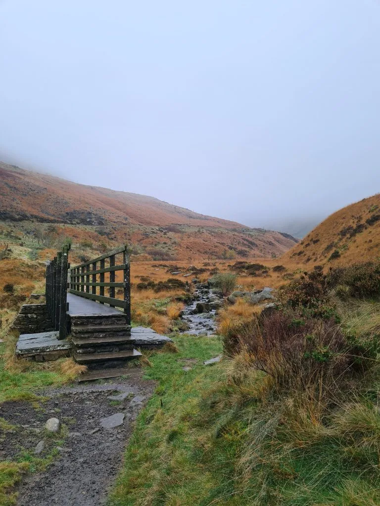
We followed the Oldham Way alongside Chew Brook, then headed back through the Chew Piece Plantation.

Chew Piece Plantation in Autumn with colours of orange and yellow

Chew Piece Plantation in Autumn


Chew Piece Plantation in Autumn

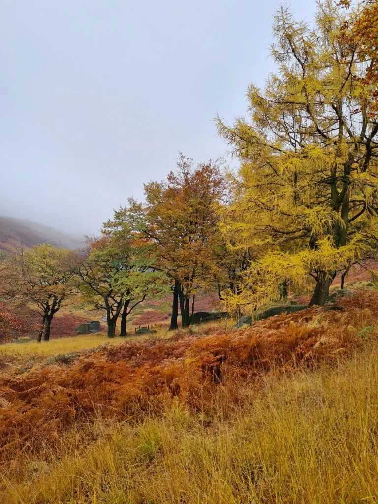
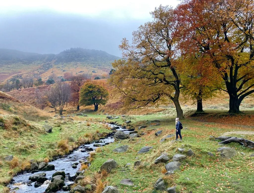
We walked around the eastern edge of Dovestone Reservoir and over the walkway between that and Yeoman Hey Reservoir, then back up the lane and through the woods to the car park.

Foot bridge over the reservoir channel


There was no pub nearby so we jumped in the car and headed to The Huntsman on Greenfield Road.


Route Map: (Please note the map is in reverse!)

Parking: Binn Green Car Park, just off the A635 at Greenfield.

Facilities: There are apparently composting toilets in the car park at Binn Green, however we didn’t know if they were open or not. There are toilets in the car park for Dovestone Reservoir, near to the Sailing Club. There are picnic areas on the east side of Dovestone Reservoir and benches placed sporadically around. There are no shops.

Walk Time: 4 hours 30 minutes

Difficulty: ▲▲▲

Distance: 9.5 miles (15km)

Trig Points Bagged: Alphin Pike

Peak District Peaks Bagged: None

Peak District Ethels Bagged: Alphin Pike


This was a lovely walk, and despite the weather this is one of my favourite Autumn Peak District walks. For more walks in the Peak District, or trig point bagging walks, why not follow the blog?


You might also like:

Dove Stone Reservoir Skyline Walk

The Trinnacle Trail and Alphin Pike

Dove Stone Reservoir Circular Walk

Tap to share with your hiking friends!

  • Facebook
  • Email
  • WhatsApp
« How to Find The B29 “Overexposed” Plane Crash Site on Bleaklow – A Guide
Foxlow Edge, Shining Tor and Cats Tor Circular Walk | 6 Miles »

RELATED POSTS

  • Hathersage Stepping StonesHathersage Stepping Stones Walk | 7 Miles
  • Ladybower ReservoirLadybower Walk | 6 Miles
  • Anvil Stone, GrindsbrookGrindsbrook Clough Scramble to Grindslow Knoll | 7 Miles
  • Circular Walk Around Harden Moss in Holmfirth | 4 Miles

Leave a Reply Cancel reply

Your email address will not be published. Required fields are marked *

FIND YOUR NEXT WALK:

ABOUT ME

Y Garn with Kids - Y Garn via the Devil's Kitchen Walk in Ogwen Valley

Hello! I’m Jo! Welcome to The Wandering Wildflower, an outdoors lifestyle blog focusing on family walks in the Peak District, a place we love exploring. I want to share the Peak District hidden gems and show you there’s so much more than the honeypot places. When I’m not dragging my husband and now 11 year old out on Peak District walks or up mountains, I can be found on planning my next moorland walk or plotting a Geocache walk (and seeing where the nearest pub is!). I love the hills but hate the heights, so trig bagging is – er- fun!


I hope this blog will give you some ideas of places to visit in the Peak District and inspire you and your family to head into the great outdoors.  Thanks for stopping by!

CATEGORIES

  • CIRCULAR WALKS (188)
  • HOLMFIRTH WALKS (27)
  • ISLE OF SKYE WALKS (3)
  • LAKE DISTRICT WALKS (24)
  • LANCASHIRE WALKS (2)
  • LONG PEAK DISTRICT WALKS 10 MILES + (42)
  • MEDIUM WALKS 4-9 MILES (136)
  • PEAK DISTRICT SCRAMBLES (16)
  • PEAK DISTRICT WALKS (202)
  • PEAK DISTRICT WALKS WITH KIDS (75)
  • PEAK DISTRICT WALKS WITH PUBS (60)
  • SCOTLAND WALKS (6)
  • SHORT WALKS UNDER 3 MILES (40)
  • SNOWDONIA WALKS (5)
  • UK CAMPING (5)
  • YORKSHIRE WALKS (33)

Peak District Walks

List of Peak District Ethels

Peak District Peak Bagging

Peak District Trig Point Challenge

Peak District Walks with Pubs

Peak District Walks with Kids

Beautiful Walks in Holmfirth

Short Walks in the Peak District

Long Walks in the Peak District

AFFILIATE DISCLOSURE

This blog may contain affiliate links through which, at no additional cost to you, I may earn a small commission. I only recommend products I would use myself and all opinions expressed here are my own. As an Amazon Associate I earn from qualifying purchases. Read full privacy policy here.

ARCHIVES

PEAK DISTRICT WEATHER

Peak District mountain weather on Met Office

Peak District Trig Points

Promo image for a blog post about the Peak District Trig Point Challenge With Map of Peak District Trig Points and Walking Routes by The Wandering Wildflower

Peak District Ethels Challenge

Promo image for a blog post about the Peak District Trig Point Challenge With Map of Peak District Ethels and Walking Routes by The Wandering Wildflower

WALKING ROUTES STRAIGHT TO YOUR INBOX

Want new walks in your inbox? Drop your email below and I'll send you some ideas for walks you can try.

You can unsubscribe anytime. For more details, review our Privacy Policy.

Thank you!

You have successfully joined our subscriber list.

RSS LATEST POSTS

  • Burnbank Fell, Blake Fell and Gavel Fell | 8 Miles
  • Bretton Park Circular Walk | 3 Miles
  • Hathersage Stepping Stones Walk | 7 Miles
  • Ladybower Walk | 6 Miles
  • Derbyshire Peak District Walks

FOLLOW ON PINTEREST

Want new walks in your inbox? Drop your email below and I'll send you some ideas for walks you can try.

You can unsubscribe anytime. For more details, review our Privacy Policy.

Thank you!

You have successfully joined our subscriber list.

jo@thewanderingwildflower.co.uk

The Wandering Wildflower

  • Email
  • Facebook
  • Instagram
  • Pinterest
  • PRIVACY POLICY
  • TERMS & CONDITIONS
  • ABOUT

(c) The Wandering Wildflower. All Rights Reserved.

|| THEME BY ECLAIR DESIGNS