Fairholmes to the Grinah Stones | 17 Miles
If you’re looking for a challenging day hike in the remote parts of the Peak District, this Fairholmes to Grinah Stones walk, following the River Derwent through the Derwent Valley, could be for you! With a visit to the Barrow Stones, an optional stop off at Ronksley Cabin and a return alongside the River Westend, this walk explores some of the wildest areas of the Dark Peak. If you want an escape for a few hours, this is a great walk.

This challenging 17 mile walk requires good navigational skills – there is no phone signal on these moors. The terrain is tough, wet and boggy and the paths are faint and indistinct in places. We had to cross the River Derwent and it was flowing fast and high, with no stepping stones or bridges. Only tackle this walk if you’re confident in these conditions – it’s not a gentle walk!
I’ve wanted to visit the remote Grinah Stones for a while – we’ve seen them from afar on other walks in the area but had never visited before. Nearby is the Barrow Stones, as well as the source of the River Derwent (which we didn’t visit on this walk but it was only a short detour away). These gritstone outcrops have spectacular views on a clear day – the moors seem to stretch for miles and there often isn’t another person for miles around – it’s bliss!
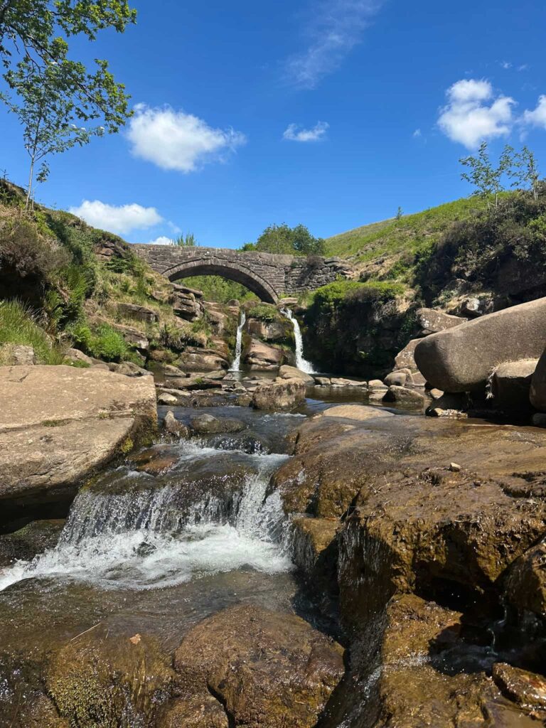
We started our walk at Fairholmes car park and followed the road out to Derwent Dam, which was overflowing when we got there. The path runs up the steps at the side of the dam and then joins the track running around Derwent Reservoir. We set off north along the path, which has some stunning views of the reservoir, and after around 4 miles we reached Slippery Stones. This is a great place for a wild swim in summer, but it does get busy!

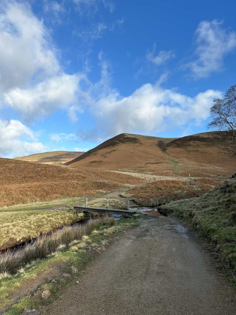
We crossed the wooden bridge and headed up to the National Trust sign, then turned left to follow the path which winds alongside the River Derwent. We followed this path for almost 3 miles until we came to an old sheepfold (it looks like a low dry stone wall) on the opposite bank. The Komoot route also shows where we nipped down the riverbank to have a look at a pool of water, but it’s very steep so you definitely don’t need to go down as we came straight back up!
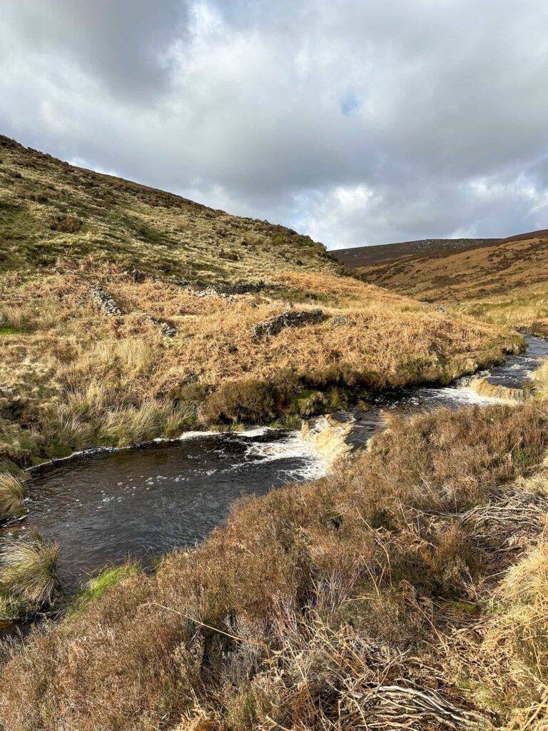
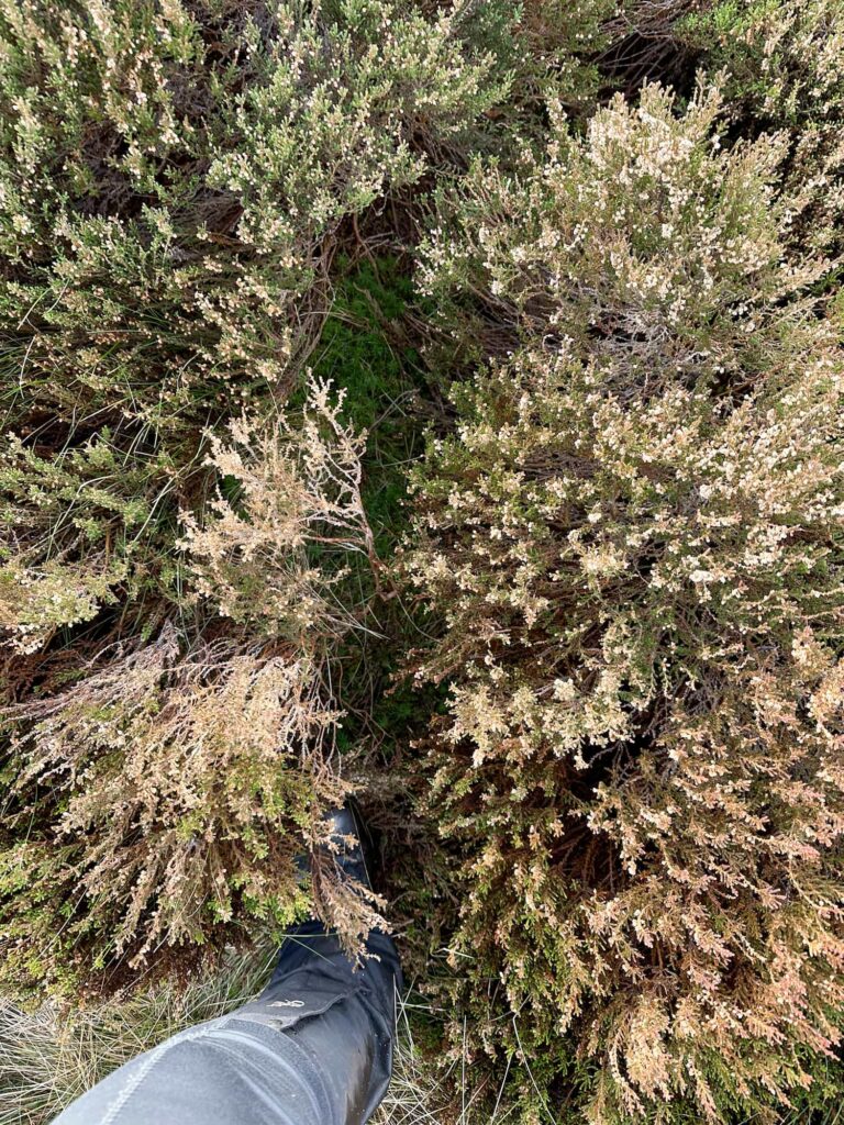
The river was hard to cross – we had to go higher up the river than we planned to cross safely and then walk back to the sheepfold, and then we followed an invisible path up the hillside of Fair Banks. This was a bit steep and overgrown with bracken.
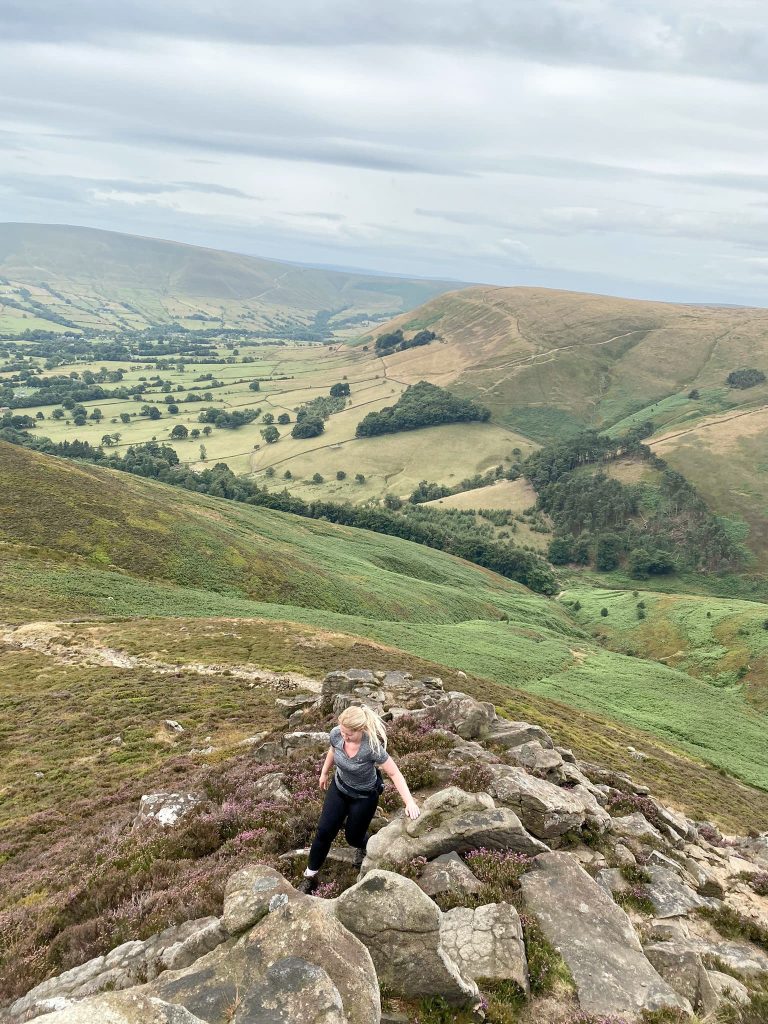
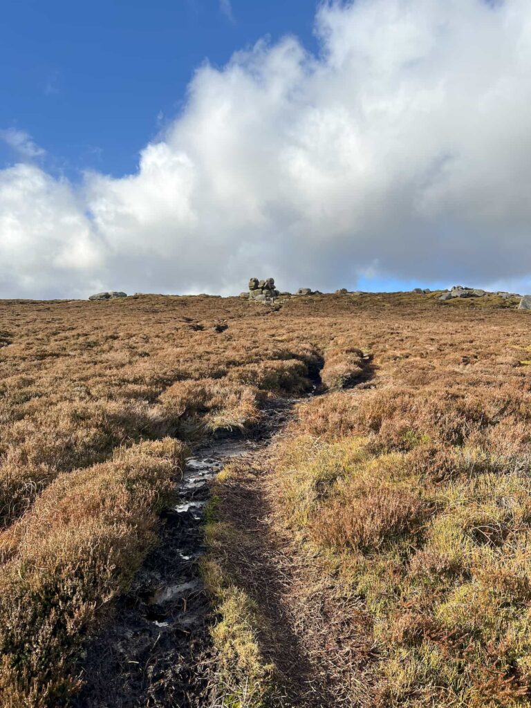
Again, we picked up an invisible path which climbed steadily through the heather to meet the more substantial track leading to Round Hill. Round Hill has a small wind shelter on the top, which was very useful as it was so windy it was blowing our cups of tea all over us! After gulping down our tea before the wind got it, we walked up the peaty, boggy path to the Barrow Stones. This collection of gritstone boulders makes an ideal spot to eat lunch.


A short distance to the east of the Barrow Stones, at Swains Greave, marked by a small plaque (backpackingbongos has a great photo of it on his blog) is the source of the River Derwent. We’ll go back and find this on another walk but we were pushed for time – it had taken us so long to be able to cross the river safely and we wanted to be off the moors before it came dark – the joys of hiking in January!

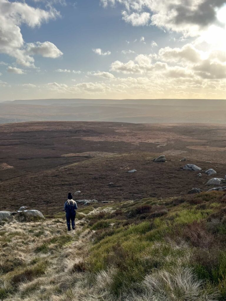
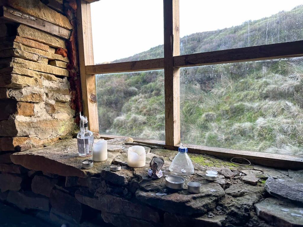
From the Barrow Stones we headed over to the Grinah Stones then picked our way down through the boulder field, heading roughly south-east towards a new wooden gate. This gate lead to a yomp over the sopping wet moors of about half a mile before we joined the track running through Lower Small Clough. We had a detour down the Clough towards the Ronksley Cabin, which is a perfect place for a stop off (don’t forget to sign the visitors book if you go).


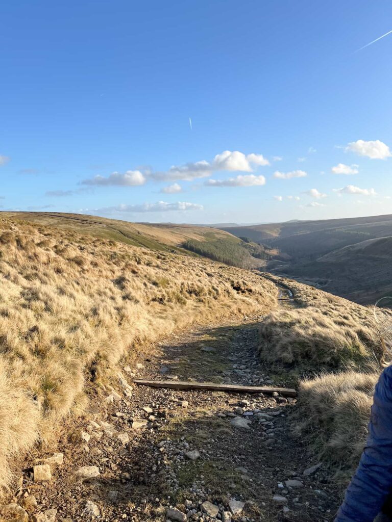
After a quick pitstop we headed back up to where we were before, and turned right to follow the keepers track back down off Ronksley Moor which follows the River Westend through the forestry plantations back to near Fox’s Piece on the western edge of Howden Reservoir. We followed the road around Hern Side and headed back to Fairholmes to pick up the car, and then drive to The Fleece in Holme (it’s on our way home, not a random drive out!) for a well earned pint!

As mentioned above, this walk up to the Grinah Stones is over very remote, very bleak moorland which is also wet underfoot and boggy in places with very limited phone signal (if any). The river levels were higher than we had anticipated meaning we had to cross the River Derwent higher up than originally planned. You need to go prepared! Despite all this, if you want a walk to get away from the world for a short time, this is an ideal place to go.
Walk Details:

Walk Map (Opens in OS Maps): Fairholmes to the Grinah Stones
Parking: We parked at Fairholmes Visitor Centre, Fairholmes, Bamford, Hope Valley S33 0AQ (W3W//: sandpaper.unhappily.palace) which is a pay and display car park costing £6 for the day. There are free lay-bys before you reach Fairholmes on the roadside but these fill up quickly.
Facilities: There is a public toilet and cafe in the car park.
Walk Time: 7-8 hours – allow plenty of time as the terrain is very rough and it can take you longer than expected!
Difficulty: ▲▲▲
Distance: 17 miles (27.3km)
Elevation: 2,500ft (762m)
Trig Points Bagged: None
Peak District Peaks Bagged: None
Peak District Ethels Bagged: None
For more challenging hikes in the Peak District, you might like:
Derwent Reservoirs Circular (Dambusters Challenge Walk) 24 miles around the Derwent Valley
10 Reservoirs Walk – 23 miles around Crowden, Black Hill and Chew Valley
Edale Skyline [With GPX File] – 20 miles, a Peak District classic
Black Hill Peak District Walk – 23 miles around Black Hill bagging 4 trig points and 5 Ethels
Dove Stone Reservoir Skyline Walk – 21 miles on the moors above Dove Stone Reservoir
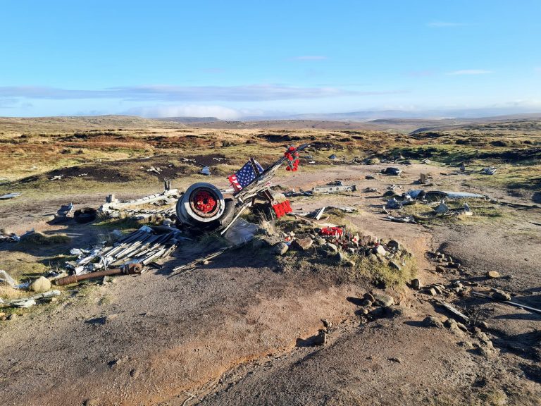
Bleaklow Plane Crash Walk – 14 miles of rugged moorland discovering 3 plane crash sites
Kinder Scout Perimeter Walk – 16 miles around the edges of Kinder Scout
The Roaches and Hen Cloud Circular Walk – 17 miles bagging 3 trig points and 5 Ethels
You might also like Woodhead to Shepherds Meeting Stones | 7 Miles