Dove Stone Reservoir Skyline Walk | 21 Miles
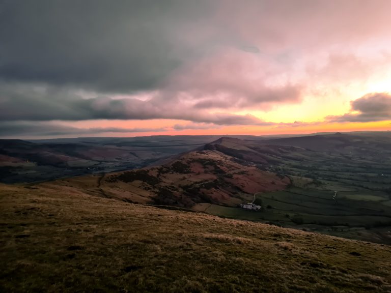
Looking for a long walk around Dove Stone Reservoir? This 21 mile walk in the Peak District is over the Saddleworth moors around Dove Stone Reservoir. Taking in Aldermans Hill, the Pots and Pans Stone and War Memorial, Broadstone Hill trig point, Rimmon Pit Clough, Birchen Clough, The Trinnacle, Ashway Cross, Alphin Pike trig point and then a lap round Dove Stone Reservoir and Yeoman Hey Reservoir to finish. On a clear day the views are amazing!
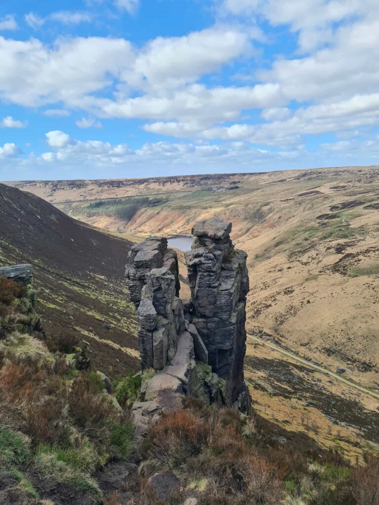
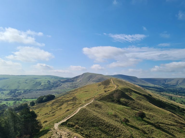
I’ve called it the Dove Stone Skyline as it reminded me of the Edale Skyline walk we did! Walking on the Saddlewoth moors around the edge of the Greenfield Valley you look down onto the reservoirs, as well as passing waterfalls, trig points and the Peak District must visit: The Trinnacle. It’s a lovely walk to do in a quieter part of the Peak District (until you get to The Trinnacle, and around the actual reservoirs at the bottom). There is plenty of parking but on sunny days it gets really busy really quickly so start early.
This is one of my Y3P training walks, and was definitely a challenge. It involves scrambling up and down waterfalls and tough moorland terrain. Only try this walk if you are confident with navigation as there are some very bleak moorland sections and the scramble down Rimmon Pit Clough is very challenging.
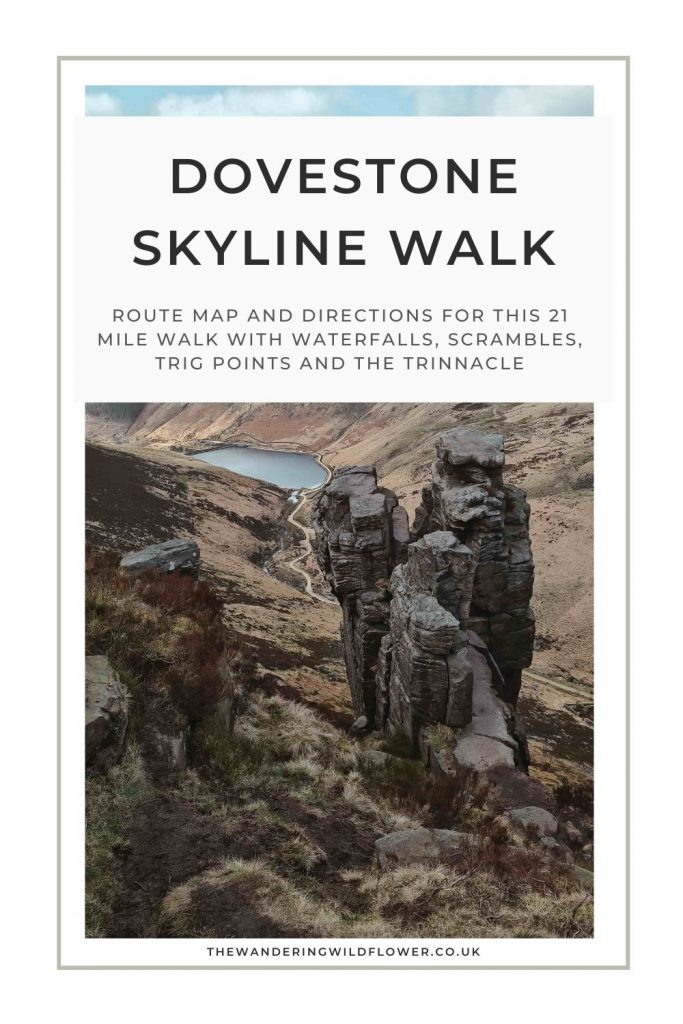
The walk starts from the Dove Stone Reservoir car park and heads across the embankment towards Binn Green. Crossing the main road, follow the footpath up to the summit of Alderman’s Hill. It’s a steep climb to the top, rewarded with views over Dove Stone and the surrounding valley. From here you can see the Pots and Pans Stone and the war memorial. You can explore the Kinder Stones as well if you like but please note that there is no through route here – there is a fence around them so you’ll have to retrace your steps.
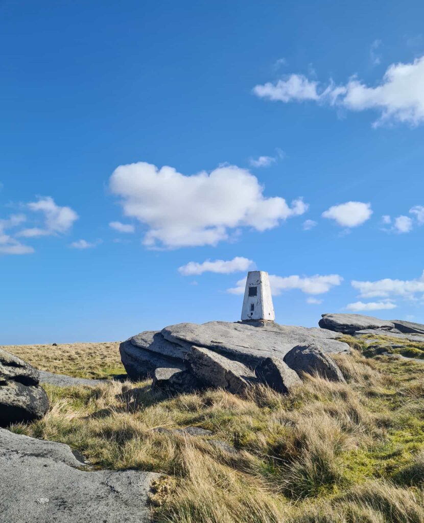
Head over Dick Hill to Sugar Loaf, and pass Rocher Brow and Slades Rocks to Broadstone Hill trig pillar.
Continue north to Running Hill Pits, where there’s an old quarry and a dilapidated quarry hut.
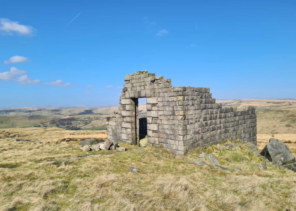
At the hut, head south-east across Wicken Clough Moss. You’re basically following the line of the grough across White Moss until it meets the paved section of public footpath (after approximately 2 miles). Follow the paved path to the roadside, and walk down the road to the west until you come to a metal gate at the top of a track. Follow the track down Sail Bark Moss past the former Rimmon Cottage. Here the navigation gets a bit tricky – there is a very faint path running along the edge of the grouse butts on Little Moss. The hillside falls away steeply and there is a very faint path to the south-west down to the waterfall at Holme Clough. It’s really steep though, so take care!
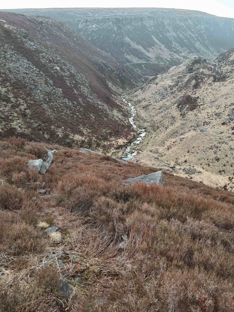
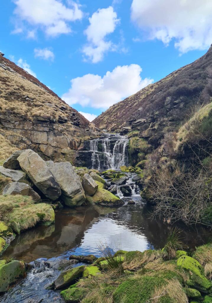
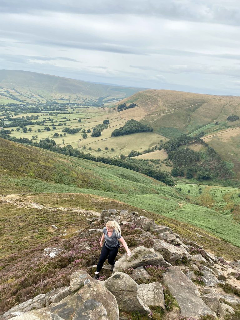
Rimmon Pit Clough runs into Holme Clough, and it’s a bit of a scramble down the side of Holme Clough. I stayed on the right hand side of the Clough as I followed it through the rocky valley bottom.
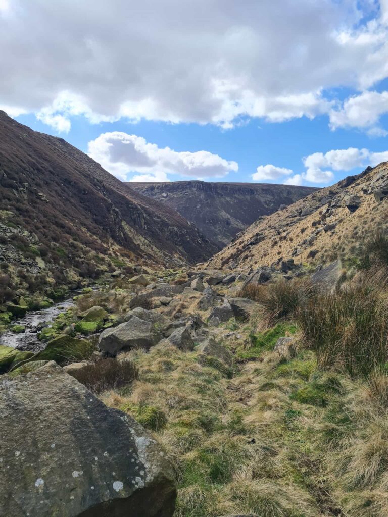
At the weir, you’ll need to follow the hillside to the right and cross Greenfield Brook before climbing up the side of the hill to the track. The track will take you to the bottom of Birchen Clough, which is another scramble up a waterfall. It starts out steep and then gets more gradual as you climb up. Try and stick to the left of the Clough as you climb up.
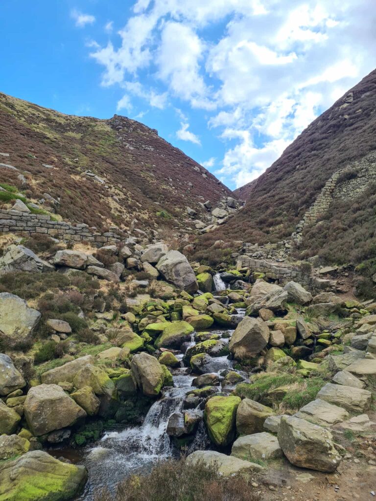
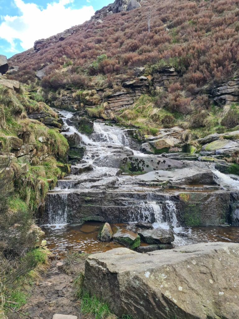
At the top, cross Birchen Clough and climb up the hillside towards Raven Stones Brow and The Trinnacle. I didn’t stop for loads of photos here and I definitely wasn’t climbing up!
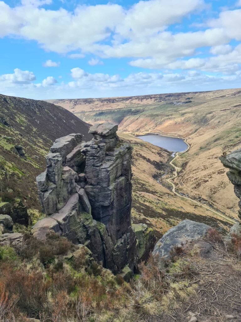
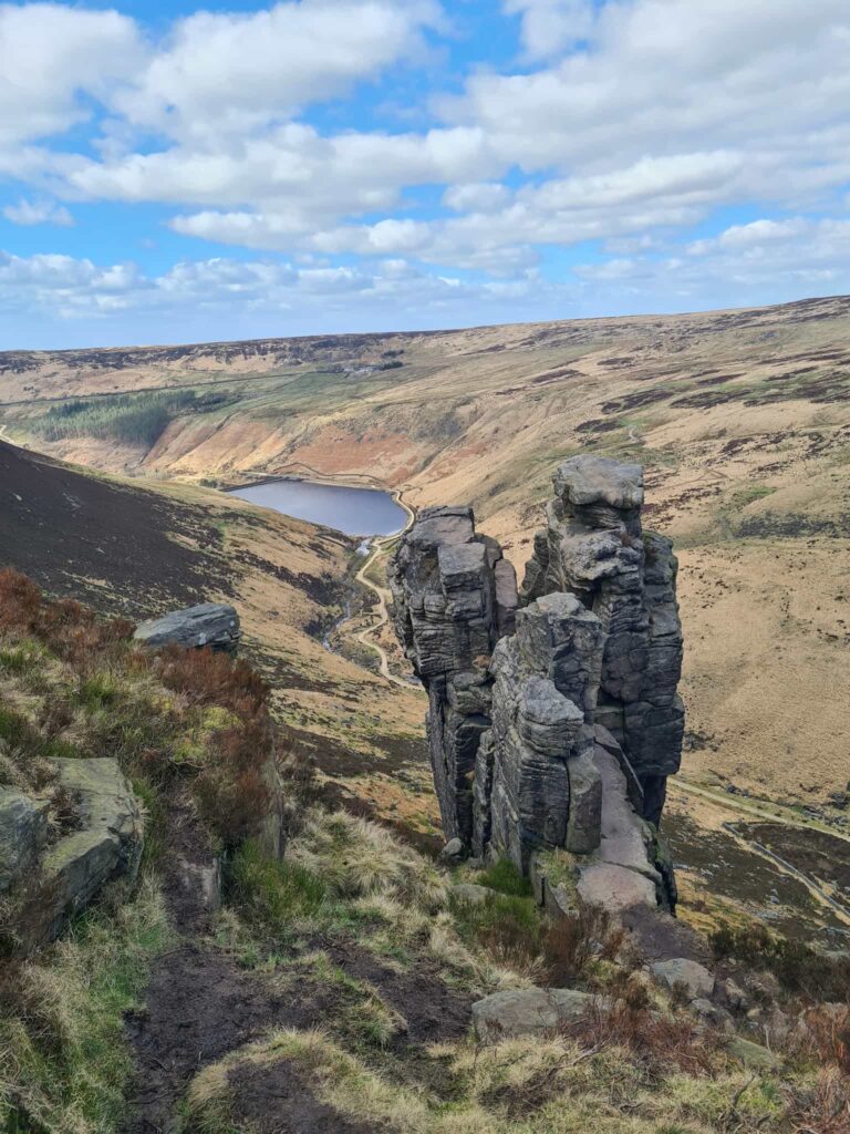
After The Trinnacle I followed the path around the brow of the hill which leads to Ashway Cross, a memorial cross high on the moors. If you are collecting Ethels, you can head west from here for approximately 200m to the summit of Ashway Moss which is marked by a nearby cairn.
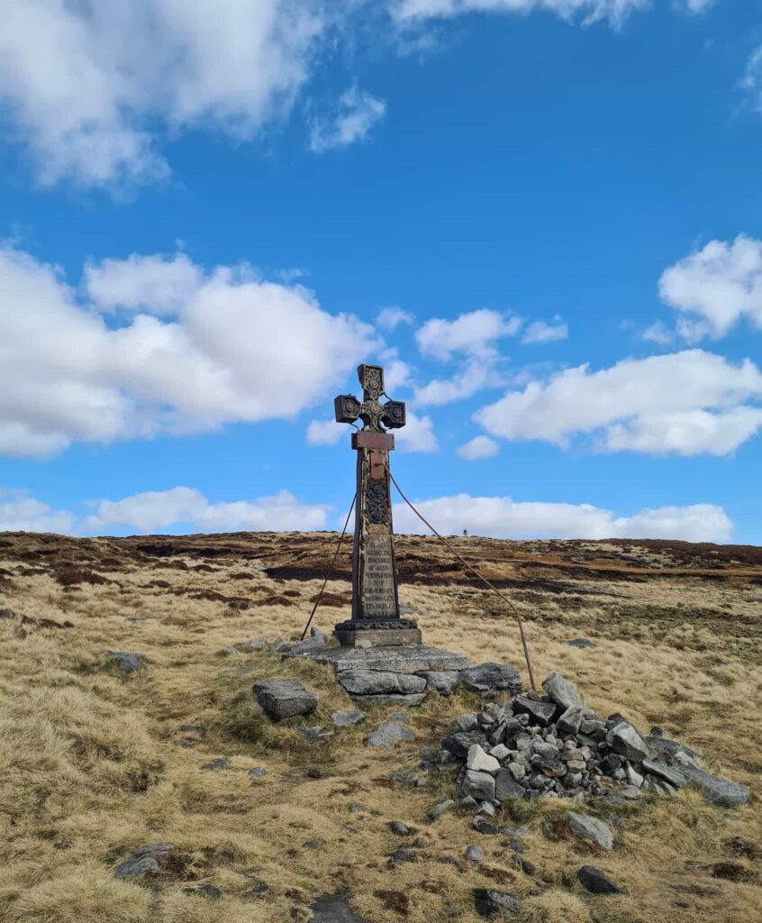
Continue heading south on Ashway Moss to the waterfalls. Head across, and follow the path to the west and round past Dean Rocks. The path will take you past Bramleys Cot, a ruined building carved into the rock face. Climb up the rocks to the right hand side of the building and continue along the path.
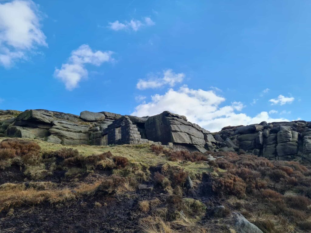
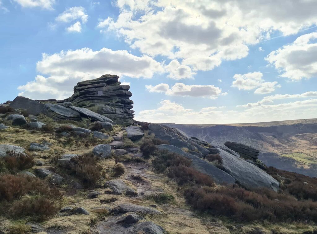
The route continues south around the tops of the hill and turns east to Chew Quarry. After the quarry you can climb down onto the road which leads up to Chew Reservoir.
You’ll then head south-west along Blindstones Moss (which can be boggy and muddy) towards Wimberry Moss and the amazing rock formations there. Alphin Pike trig point is next, and then it’s a descent past Greave and down onto Intake Lane.
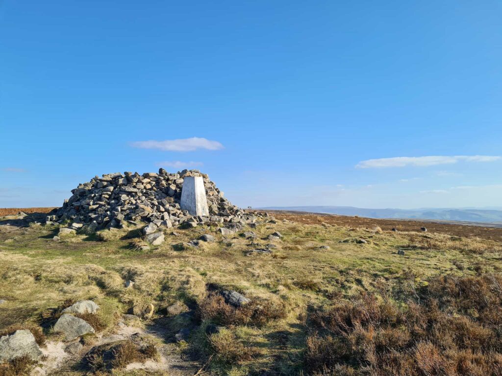
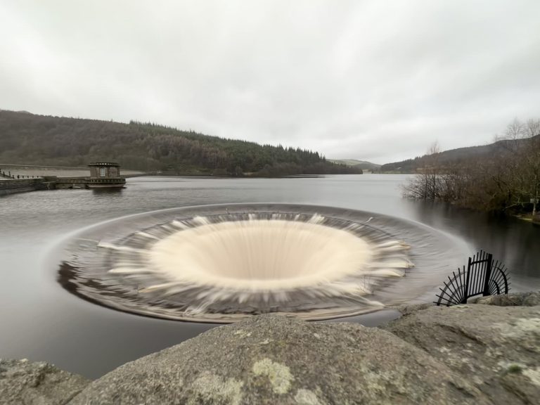
Head through Chew Piece Plantation and follow the path to the north towards the Sailing Club boat yard. Now it’s just a walk around Dove Stone Reservoir and Yeoman Hey Reservoir before heading back to the car park.
This is a great Dove Stone Reservoir long walk to try, especially if you are training for the Yorkshire 3 Peaks Challenge.
Long Dove Stone Reservoir Walk:
Dove Stone Skyline Walk Route Map:
OS Maps Link: Dove Stone Skyline Walk
Parking: Dove Stone Reservoir Car Park OL3 7NE (£4 all day)
Facilities: There are public toilets in the car park, and an ice cream van appeared when I finished the walk
Walk Time: 7-8 hours.
Difficulty: ▲▲▲
Distance: 21.1 miles (34km)
Trig Points Bagged: Broadstone Hill, Alphin Pike
Peak District Peaks Bagged: Alphin Pike, Ashway Moss (short detour)
Peak District Ethels Bagged: Ashway Moss (short detour), Alphin Pike
You can follow me on Instagram to see more photos from the walks.
You might also like:
How to Find The Trinnacle at Dove Stones
Dovestone Reservoir to Alphin Pike Circular Walk
The Trinnacle Trail and Alphin Pike

