• 3 Mile Walks or Less
  • 4 Mile Walks
  • 5 Mile Walks
  • 6 Mile Walks
  • 7 Mile Walks
  • 8 Mile Walks
  • 9 Mile Walks
  • 10 Mile Walks
  • 11 Mile Walks
  • 12 Mile Walks
  • 14 Mile Walks
  • 15 Mile Walks
  • 20+ Mile Walks

The Wandering Wildflower

Peak District Hikes

  • PEAK DISTRICT WALKS
    • SHORT WALKS UNDER 3 MILES
    • MEDIUM WALKS 4-9 MILES
    • LONG PEAK DISTRICT WALKS 10 MILES +
  • PEAK DISTRICT WALKS WITH PUBS
  • PEAK DISTRICT WALKS WITH KIDS
  • HOLMFIRTH WALKS

Fairfield Horseshoe Hiking Route | 11 Miles

June 3, 2022 LAKE DISTRICT WALKS

The Fairfield Horseshoe is one of the classic Lake District ridge walks, with spectacular views. This is an 11 mile walk, with the traditional route taking in 8 Wainwright peaks: Nab Scar, Heron Pike, Great Rigg, Fairfield, Hart Crag, Dove Crag, High Pike and Low Pike, starting from Ambleside and finishing at the Rydal Hall Grot.


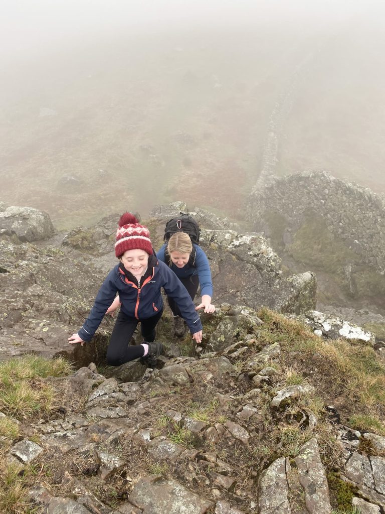
We chose to tackle this challenging Lake District walk in reverse – there are some small scramble sections which we thought would be better to climb up rather than down. This is one of those routes where once you’ve done the main climb there aren’t too many other large climbs, so it was perfect for Holly (who was 10 at the time but can manage a longer walk).

The horseshoe walk is an 11 mile journey with 1100m of ascent and includes the peaks of:

  • Low Pike (508 metres)
  • High Pike (656 metres)
  • Dove Crag (792 metres)
  • Hart Crag (822 metres)
  • Fairfield (873 metres)
  • Great Rigg (766 metres)
  • Heron Pike (612 metres)
  • Nab Scar (440 metres)


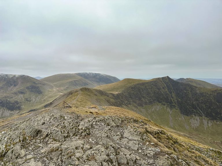
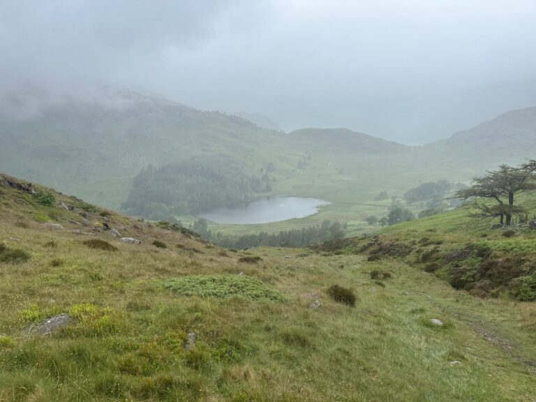
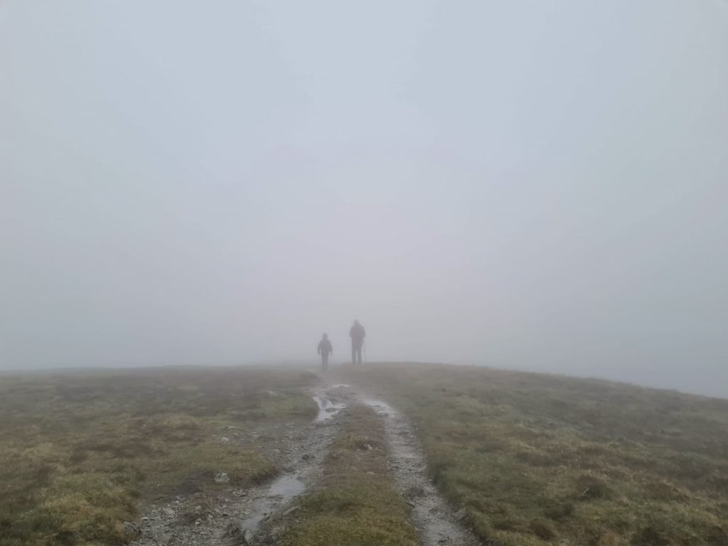
We (as usual) had terrible views for our attempt! As soon as we got above about 150m the mist descended and stayed with us ALL DAY. Luckily we were able to navigate, but we met a lady on Fairfield who was lost and couldn’t find her way in the mist so she tagged along with us until she could find her way back safely.


This is what the views are meant to look like…


View this post on Instagram


A post shared by Emily Price πŸŒžπŸ„πŸŒΏπŸšπŸͺ (@pricey_travels)


We didn’t get these views.


The walk started in Ambleside and then we headed up Nook Lane to Low Sweden Coppice (passing Nook End Farm, the home of the Kankku Land Rovers). The path passes over the pretty Scandale Beck then winds up through Low Sweden Coppice and High Sweden Coppice, the location of the first scramble section.

Rocky scramble section near Low Pike, Ambleside


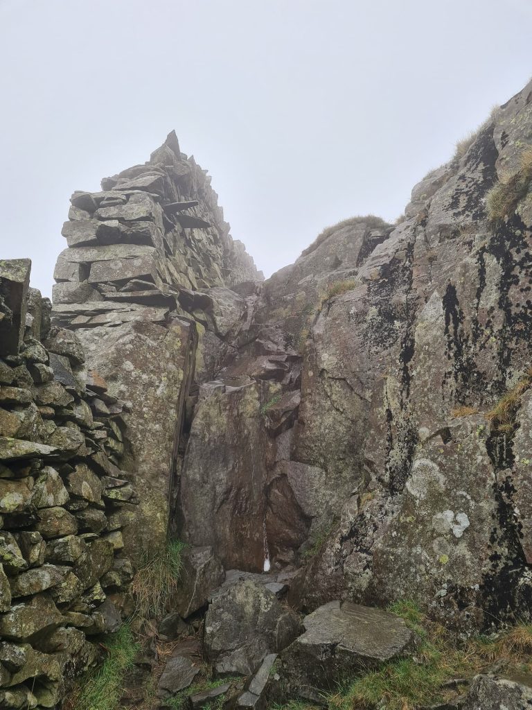
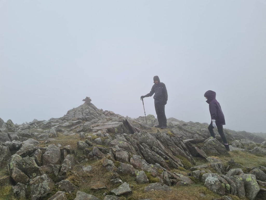
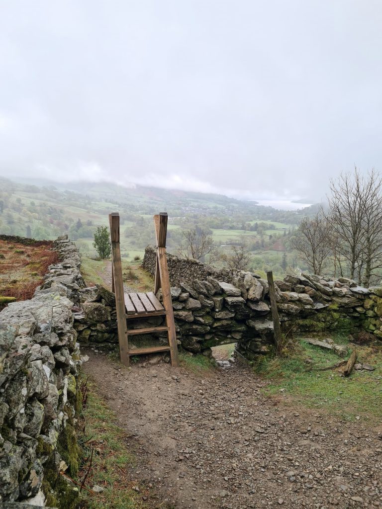
From here the path is well marked out, but on a foggy day it’s handy to use the super long wall as a navigational guide. It runs up to Low Pike (508m above sea level), the first of the 8 Wainwrights on this walk, and onwards to High Pike (656m), marked with a small pile of stones, and Dove Crag (792m), again marked with a small cairn.


As the path approaches Hart Crag (823m), head to the other side of the wall and continue uphill. There is a faint path between the large stones, marked with a few cairns. The summit is marked by another cairn.

A father and daughter at the summit of one of the Lake District fells

I’m not sure which fell top this is – answers on a postcard please!


We returned to the path and carried on north over Thack Bottom Edge, where presumably there are spectacular views on a clear day. The path turns to the east and descends slightly over Link Hause before climbing again up to Fairfield (873m).


The summit of Fairfield


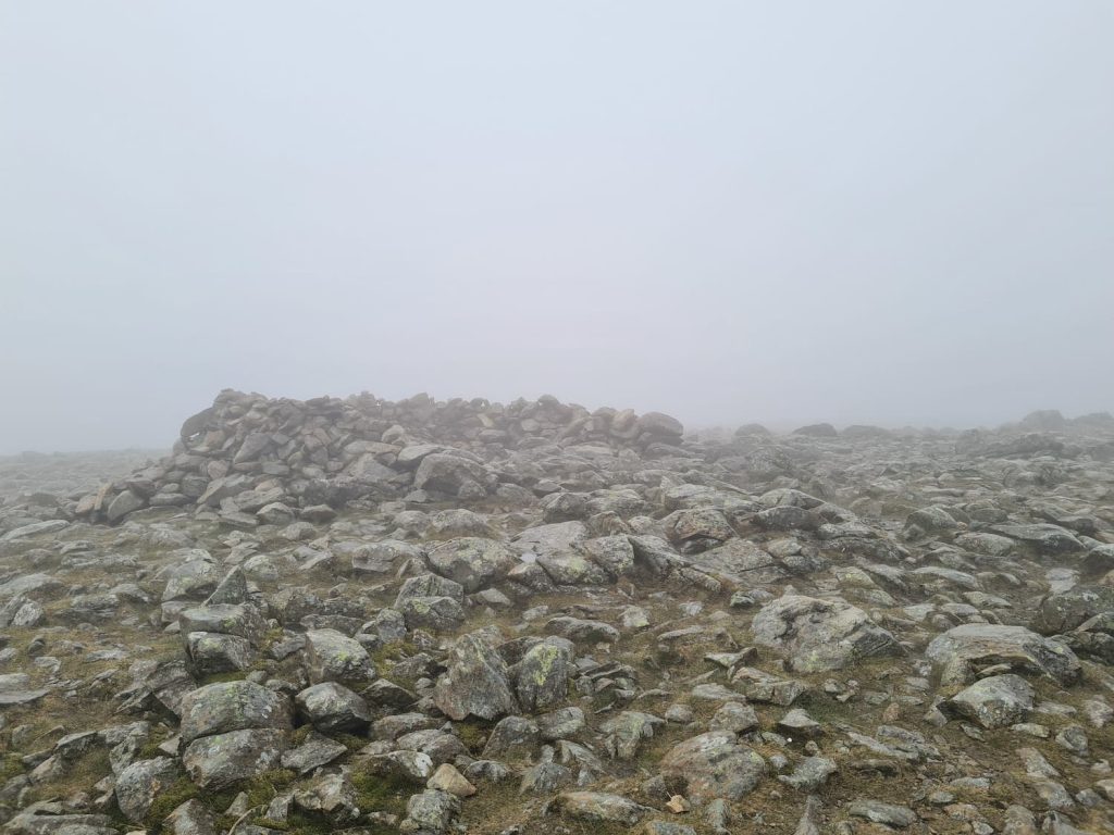
Fairfield is a wide plateau summit which is notoriously difficult to navigate in poor weather. There is a wind shelter there which is great for a cuppa stop. We set off south from Fairfield along the wide grassy footpath to Great Rigg (766m).

A misty murky day on the fells

We always get the views!


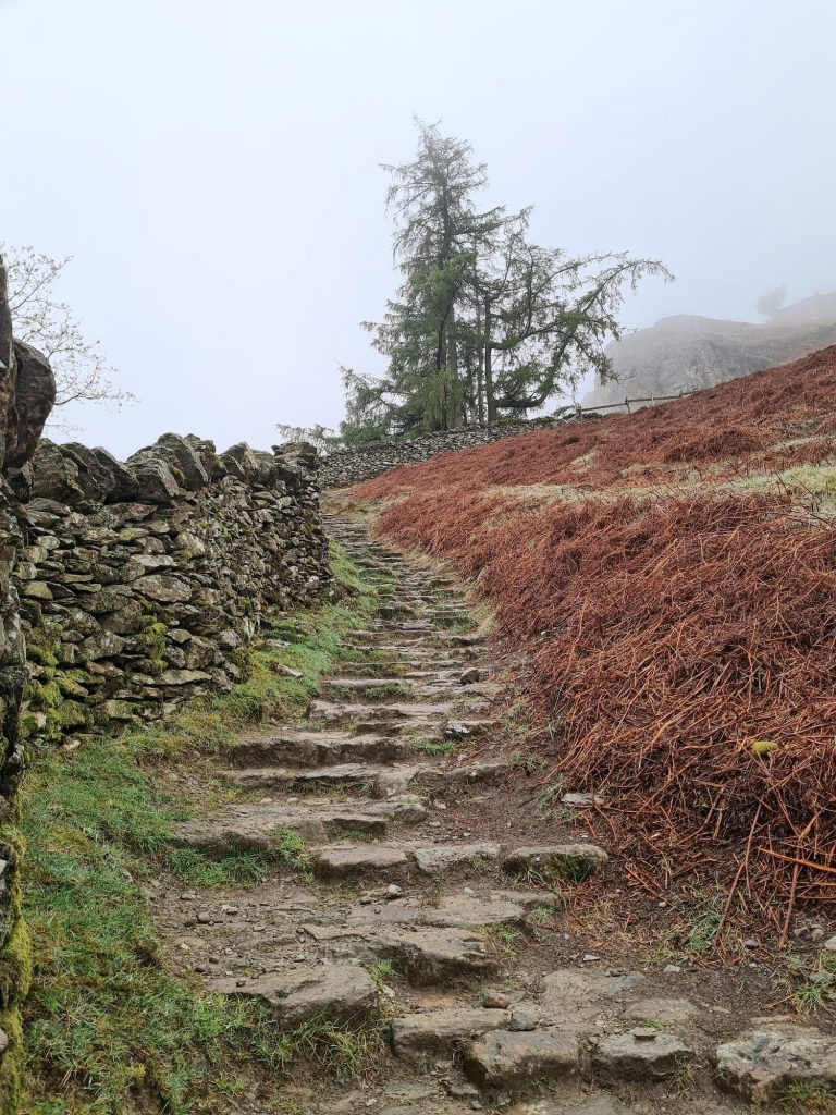
After Great Rigg, we took the left hand path towards Heron Pike (612m) and then onwards to Nab Scar (450m) before starting to descend down the many, many steps through Dockey Tarn Plantation, when the cloud lifted and we were able to see things again!


A series of stone steps coming down from Nab Scar

A stile above Rydal Hall


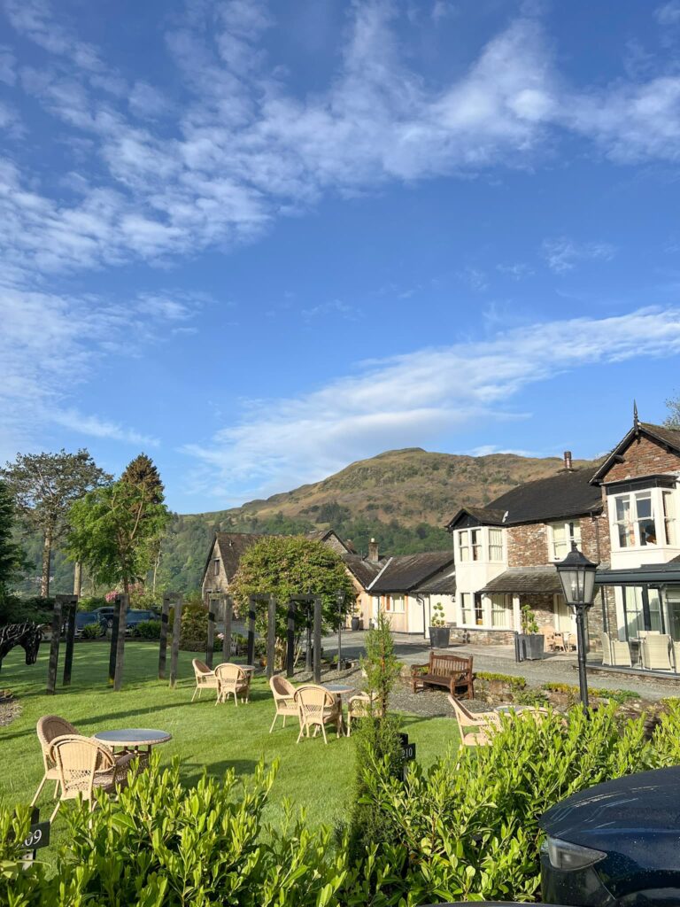
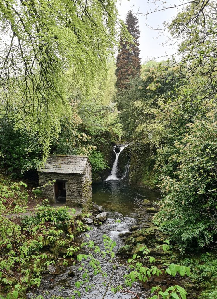
We passed the Rydal Hall tearooms and then went to explore the Instagram famous Grot at Rydal, which is a lovely little waterfall viewing space.


The Grot at Rydal Hall


We then set off along the driveway before reaching Rydal Road, which we followed back into Ambleside and to the car. We were so drenched we had to buy Hols some new trainers from the Mountain Warehouse! Luckily she had some other clothes in the car.


A lamb in the Lake District


The Fairfield Horseshoe is a fabulous Lake District walk, and one we’ll be returning to redo just so I can see those amazing views of Windermere for myself!


Fairfield Horseshoe Walk Map:Β 


Walk Route in OS Maps:Β Fairfield Horseshoe and Rydal Hall Grotto Walk

Parking: Rydal Road Car Park, Ambleside LA22 9AN | W3W:///conspire.driven.kingpin

Facilities: There are toilets in Rydal Road car park (pay on entry)

Walk Time: 5-6 hours

Difficulty:Β β–²β–²β–²

Distance: 11.2 miles (18km)

Trig PointsΒ Bagged: None

WainwrightsΒ Bagged: Nab Scar, Heron Pike, Great Rigg, Fairfield, Hart Crag, Dove Crag, High Pike and Low Pike


For more Wainwrights walks, you might like:

Old Man of Coniston Hike via Low Water and Brim Fell

Cat Bells Route

Scafell Pike Route

Helvellyn via Striding Edge

Walla Crag, Bleaberry Fell and High Seat

Langdale Pikes Circular

Coledale Horseshoe

Tap to share with your hiking friends!

  • Facebook
  • Email
  • WhatsApp
Β« 10 Reservoirs Walk | 23 Miles
Black Hill Peak District Walk | 23 Miles Β»

RELATED POSTS

  • A woman looking up at the fells of Crag Hill and SailColedale Horseshoe – A Lake District Classic Walk | 9 Miles
  • A stone market at the Dodd fell summitDodd Fell Summit Trail | 4 Miles
  • Cat Bells walking route with High Spy, Dale Head Tarn and Newlands Valley - The Wandering WildflowerCatbells Hiking Route | 8 Miles
  • A view from Hallin Fell summit with the large stone obeliskWainwrights: 6 Eastern Martindale Fells

Leave a Reply Cancel reply

Your email address will not be published. Required fields are marked *

FIND YOUR NEXT WALK:

ABOUT ME

Y Garn with Kids - Y Garn via the Devil's Kitchen Walk in Ogwen Valley

Hello! I’m Jo! Welcome to The Wandering Wildflower, an outdoors lifestyle blog focusing on family walks in the Peak District, a place we love exploring. I want to share the Peak District hidden gems and show you there’s so much more than the honeypot places. When I’m not dragging my husband and now 11 year old out on Peak District walks or up mountains, I can be found on planning my next moorland walk or plotting a Geocache walk (and seeing where the nearest pub is!). I love the hills but hate the heights, so trig bagging is – er- fun!


I hope this blog will give you some ideas of places to visit in the Peak District and inspire you and your family to head into the great outdoors.Β  Thanks for stopping by!

CATEGORIES

  • CIRCULAR WALKS (189)
  • HOLMFIRTH WALKS (27)
  • ISLE OF SKYE WALKS (3)
  • LAKE DISTRICT WALKS (24)
  • LANCASHIRE WALKS (2)
  • LONG PEAK DISTRICT WALKS 10 MILES + (42)
  • MEDIUM WALKS 4-9 MILES (137)
  • PEAK DISTRICT SCRAMBLES (16)
  • PEAK DISTRICT WALKS (205)
  • PEAK DISTRICT WALKS WITH KIDS (76)
  • PEAK DISTRICT WALKS WITH PUBS (60)
  • SCOTLAND WALKS (6)
  • SHORT WALKS UNDER 3 MILES (40)
  • SNOWDONIA WALKS (5)
  • UK CAMPING (5)
  • YORKSHIRE WALKS (33)

Peak District Walks

List of Peak District Ethels

Peak District Peak Bagging

Peak District Trig Point Challenge

Peak District Walks with Pubs

Peak District Walks with Kids

Beautiful Walks in Holmfirth

Short Walks in the Peak District

Long Walks in the Peak District

AFFILIATE DISCLOSURE

This blog may contain affiliate links through which, at no additional cost to you, I may earn a small commission. I only recommend products I would use myself and all opinions expressed here are my own. As an Amazon Associate I earn from qualifying purchases. Read full privacy policyΒ here.

ARCHIVES

PEAK DISTRICT WEATHER

Peak District mountain weather on Met Office

Peak District Trig Points

Promo image for a blog post about the Peak District Trig Point Challenge With Map of Peak District Trig Points and Walking Routes by The Wandering Wildflower

Peak District Ethels Challenge

Promo image for a blog post about the Peak District Trig Point Challenge With Map of Peak District Ethels and Walking Routes by The Wandering Wildflower

WALKING ROUTES STRAIGHT TO YOUR INBOX

Want new walks in your inbox? Drop your email below and I'll send you some ideas for walks you can try.

You can unsubscribe anytime. For more details, review our Privacy Policy.

Thank you!

You have successfully joined our subscriber list.

RSS LATEST POSTS

  • How to Find Three Shires Head
  • Burnbank Fell, Blake Fell and Gavel Fell | 8 Miles
  • Bretton Park Circular Walk | 3 Miles
  • Hathersage Stepping Stones Walk | 7 Miles
  • Peak District Caves

FOLLOW ON PINTEREST

Want new walks in your inbox? Drop your email below and I'll send you some ideas for walks you can try.

You can unsubscribe anytime. For more details, review our Privacy Policy.

Thank you!

You have successfully joined our subscriber list.

jo@thewanderingwildflower.co.uk

The Wandering Wildflower

  • Email
  • Facebook
  • Instagram
  • Pinterest
  • PRIVACY POLICY
  • TERMS & CONDITIONS
  • ABOUT

(c) The Wandering Wildflower. All Rights Reserved.

|| THEME BY ECLAIR DESIGNS