Wolfscote Dale and Biggin Dale | 7 Miles


This circular walk explores the beautiful Wolfscote Dale and Biggin Dale, and bags the Wolfscote Hill trig point too. It’s 7.3 miles and starts in the pretty village of Biggin in the Derbyshire Dales.
This Wolfscote Dale walk also takes you through beautiful Biggin Dale, a rare and important limestone valley nature reserve run by the National Trust. In Spring and Summer this area comes alive with wildflowers and wildlife, and is a great place for a wander.
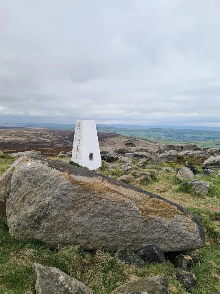
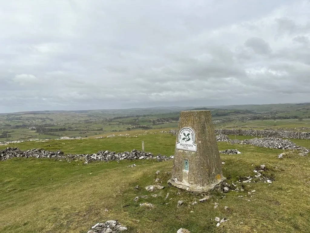
Update 26 April 2024 – Wolfscote Hill is now shown as private land on the OS Map and there is therefore no public access to the trig point. I believe there are plans to make a concessionary path from Reynards Lane but until this is in place you’ll need to ask permission to access the trig point.
Update January 2026 – there is now a concessionary footpath in place!
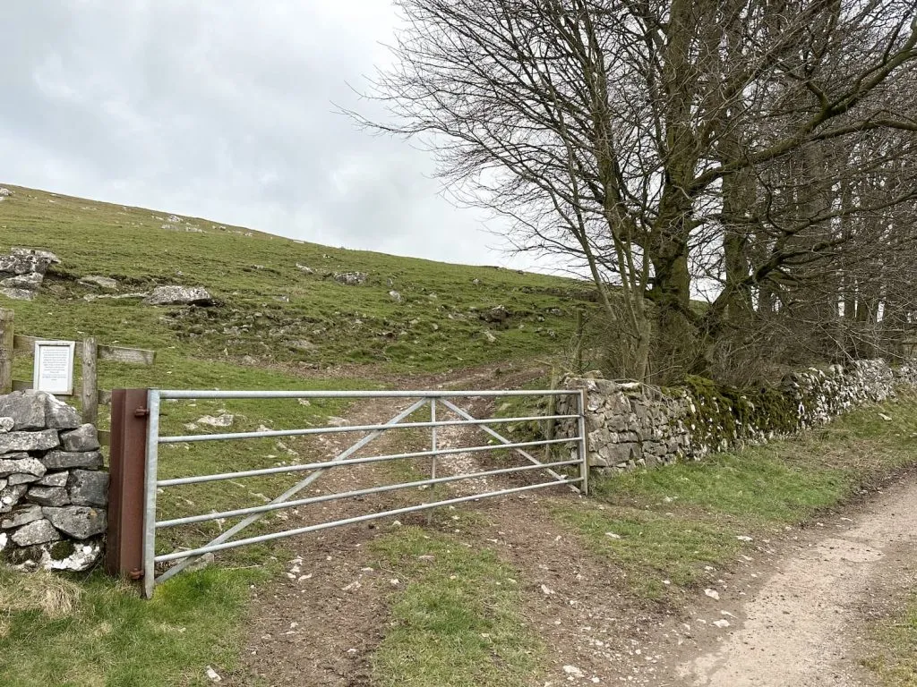
We had tried to head to the summit of Wolfscote Hill in June 2022 however there was some dispute over the access to the trig point, meaning we couldn’t get to the summit of the hill. This time we managed to get to the summit using the Open Access Land, accessed via a large metal gate off the farm track, so we could bag the trig!
We parked in a lay-by on Drury Lane in Biggin and then set off along the road towards St Thomas’s Church. We carried on Main Street through Biggin itself, and then picked up a footpath to the north-west. This track runs along behind the houses on Hardings Lane.
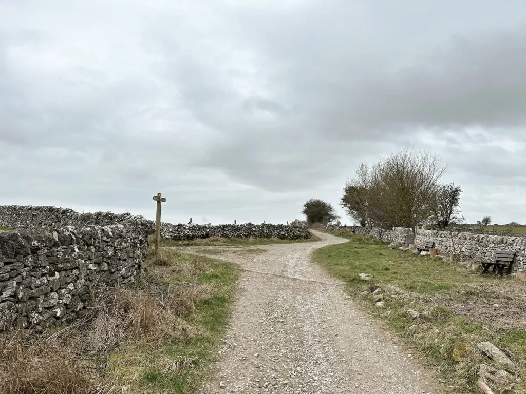
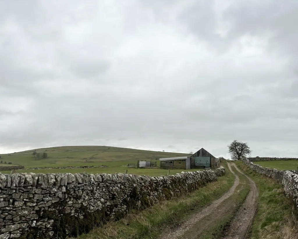
At the junction we followed the track to the left and headed along the lane, winding around to Wolfscote Grange. From here the lane starts to get steeper as you climb up towards the access gate. The gate is just before the cattle grid and has a chain holding it closed but it shouldn’t be locked.
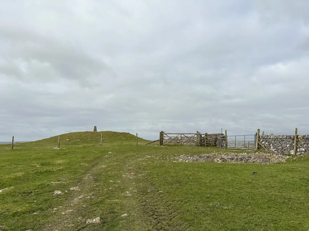
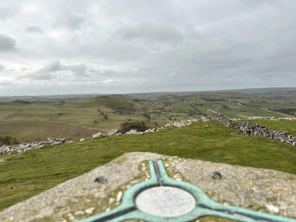
There isn’t a path but we followed the edge of the field for a short while and then headed across the ridge to the gate leading to the trig point. Here we admired the views and then retraced our steps back down the field, past the farmer tending his sheep (super busy as it’s almost lambing season) and set off back down the lane. There’s a junction on the track leading down the hill into Wolfscote Dale and we followed this track.
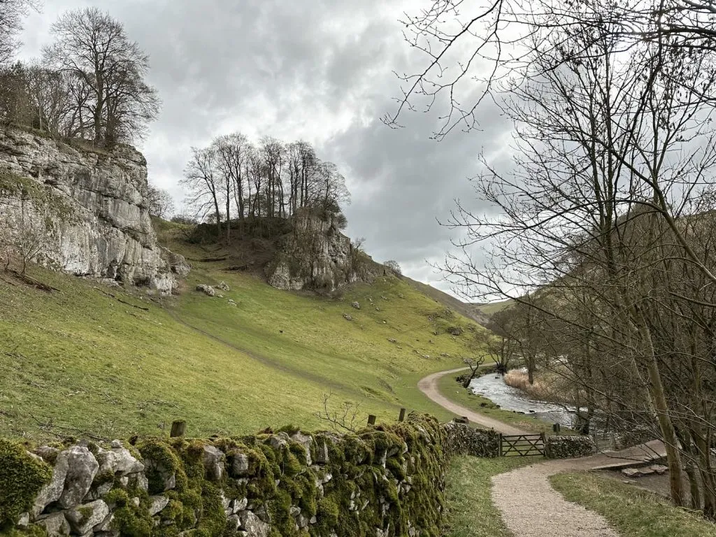
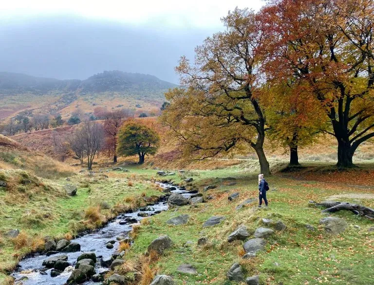
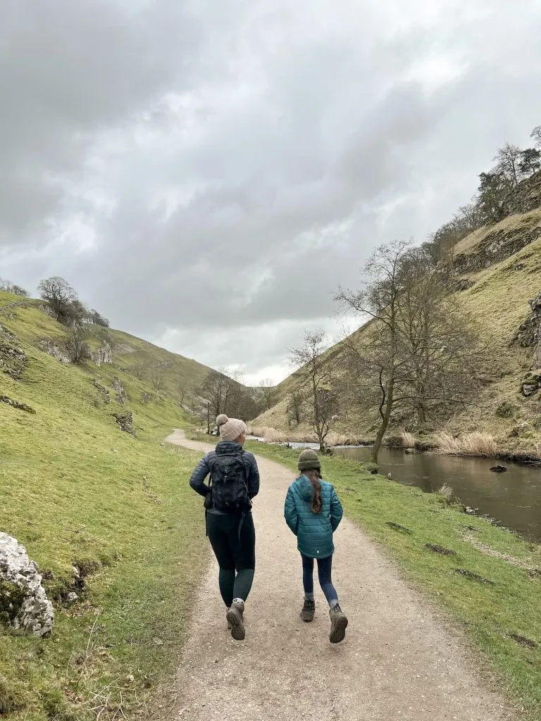
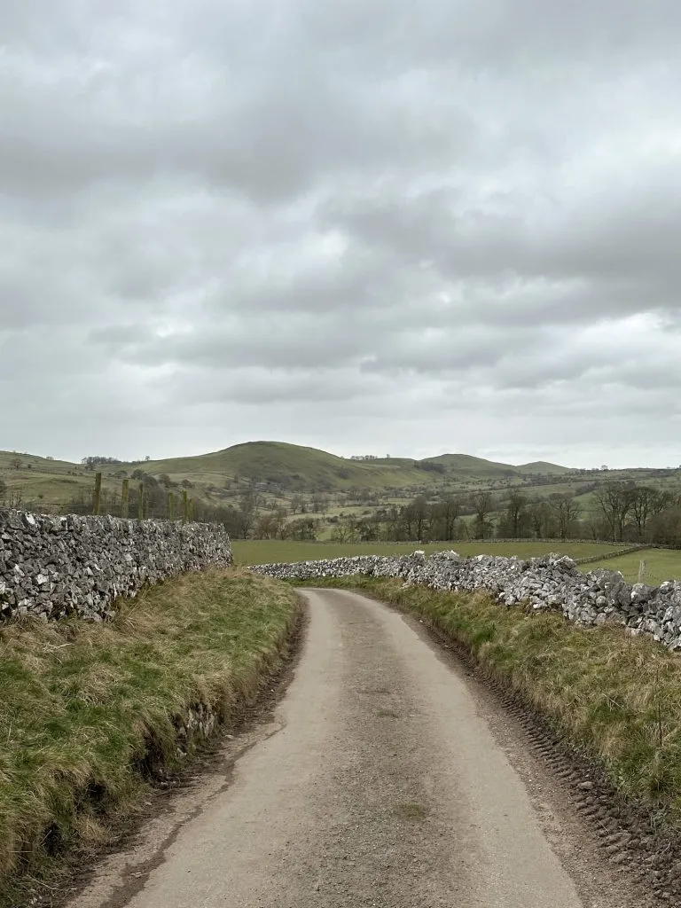
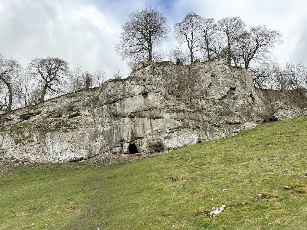
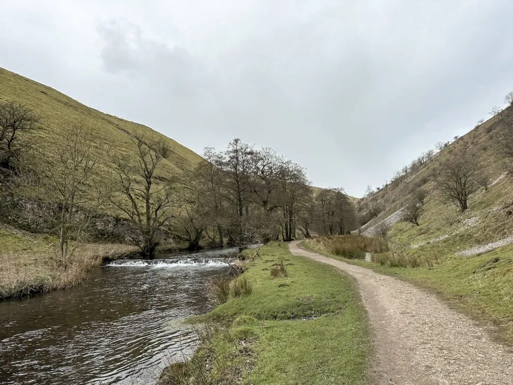
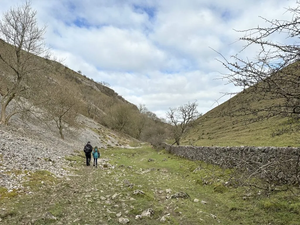
Wolfscote Dale is a beautiful steep sided limestone gorge with the River Dove flowing through the bottom. You can find fossils in the rocks if you look closely!
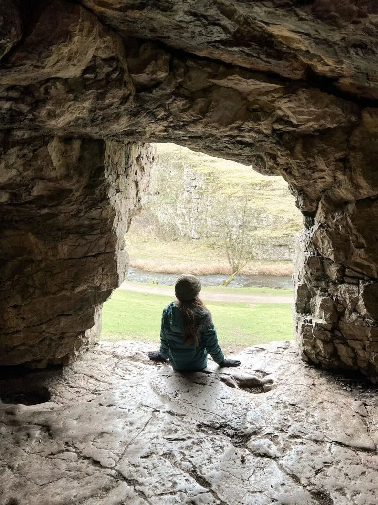
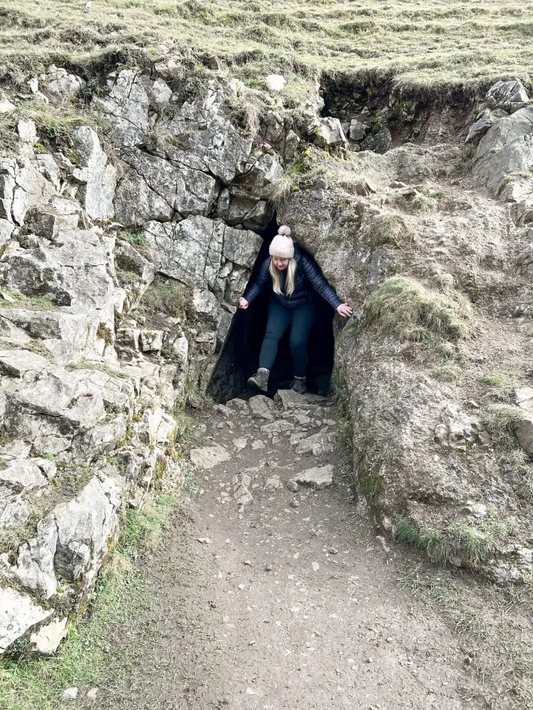
It’s also home to Frank I’ Th’ Rocks Cave. In 1925 this cave was excavated and explorers discovered the remains of “ten individuals, mostly children, two bronze brooches, one penannular bronze brooch, bronze pins, a fragment of bronze chain, nine beads of various types, an antler cheek-piece, and other objects, including Roman, Romano-British and Medieval pottery”. Apparently the cave was later home to a family with 6 children. Nowadays there’s nothing much in there but it’s a great place to explore.
We had a look in the cave and then followed the relatively gentle track alongside the River Dove for roughly 1.25 miles and then turned into Biggin Dale, before the wooden gate leading to Iron Tors.
Biggin Dale is another beautiful limestone gorge but is much quieter than Wolfscote Dale.
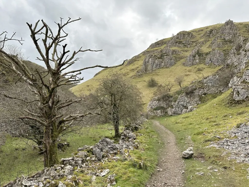
There is another smaller cave about half a mile into the Dale, accessed over a very rickety style. This cave would appear to be an old mine shaft as it’s really straight and looks to be manmade. It extends for some 50m into the hillside and then apparently stops, but we didn’t go that far as it was a bit wet!
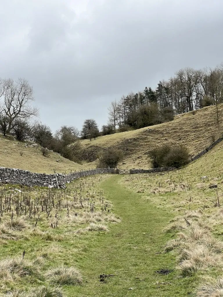
We followed the track through Biggin Dale, and then the footpath joins Liffs Road. We turned left to head north on Liffs Road, then headed over the field to get back to the start. The footpath looks to have been diverted from the map as we had to cross the field and find the stile in the wall rather than where it’s marked on the OS map, but it’s not a big diversion.
This was a very picturesque walk, and Wolfscote Dale has to be one of the prettiest places in the Peak District. It was quite busy on a chilly February day, but I bet it can be very busy in summer!
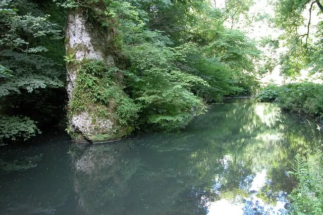
There is a popular wild swimming spot nearby, Pike Pool in the neighbouring Beresford Dale. Beresford Dale is accessed just before you come through the gate into Wolfscote Dale, and this would be a lovely stop off on a hot day.
Wolfscote Dale Walk Map:

Walk Map (Opens in OS Maps): Wolfscote Hill and Wolfscote Dale Walk
Parking: A layby on Drury Lane, Biggin
Facilities: None
Walk Time: 2-3 hours
Difficulty: ▲▲
Distance: 7.35 miles (11.82km)
Trig Points Bagged: Wolfscote Hill (finally!)
Peak District Peaks Bagged: Wolfscote Hill
Peak District Ethels Bagged: Wolfscote Hill
For more walks to explore these beautiful Derbyshire Dales, you might like:
Dovedale and Thorpe Cloud Walk
Thorpe Cloud, Dovedale Stepping Stones, Bunster Hill and Ilam
Chee Dale Stepping Stones Walk
Fin Cop Walk – Longstone Moor, Wardlow Hay Cop and Waterfall Swallet
Lathkill Dale Waterfall Walk | 7 Miles
For similar places to explore:
Walk from Castleton to Bradwell Moor Trig Point via Cave Dale
Castleton to Mam Tor Circular Walk via Cave Dale
Stanton Moor Walk [Cork Stone and Nine Ladies Stone Circle]