Peak District Challenge Walks
If you love long-distance walks (like me), the Peak District offers some of the best challenge hikes in England. These Peak District Challenge Walks are long in distance, often involve rugged or boggy terrain and generally require good navigation skills. Many are full-day hikes, while others could be split over a weekend. Distances range from around 14 to 24.5 miles, with climbs from 594m up to 1,300m. Whether you’re training for the Yorkshire 3 Peaks, bagging trig points, or chasing remote moorland views, these walks will test your stamina and reward you with stunning scenery.
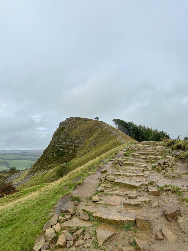
Dambusters Challenge Walk (Derwent Reservoirs Circular) – 24 miles, 1,010m ascent, panoramic moorland & reservoir views
A long, full-day route around the Derwent Reservoirs, visiting Win Hill, Alport Castles, Back Tor, and Lost Lad. Expect steep climbs, rugged terrain, and panoramic moorland views. Perfect for autumn sunrise starts!

10 Reservoirs Walk – 23 miles, 1,010m ascent, Crowden, Black Hill & Chew Valley
This challenging LDWA-inspired route circles Crowden, Black Hill, and Chew Valley. Expect boggy moorland, tough climbs, and some of the Peak District’s best views.

Edale Skyline – 20 miles, 1,160m ascent, Kinder Scout & Mam Tor classic route
A classic Peak District challenge walk, this time starting from Hope. Climb Win Hill, traverse Kinder Scout, and follow Brown Knoll, Rushup Edge, Mam Tor, and Lose Hill. High moorland and summit views make this one of the most popular challenge walks.
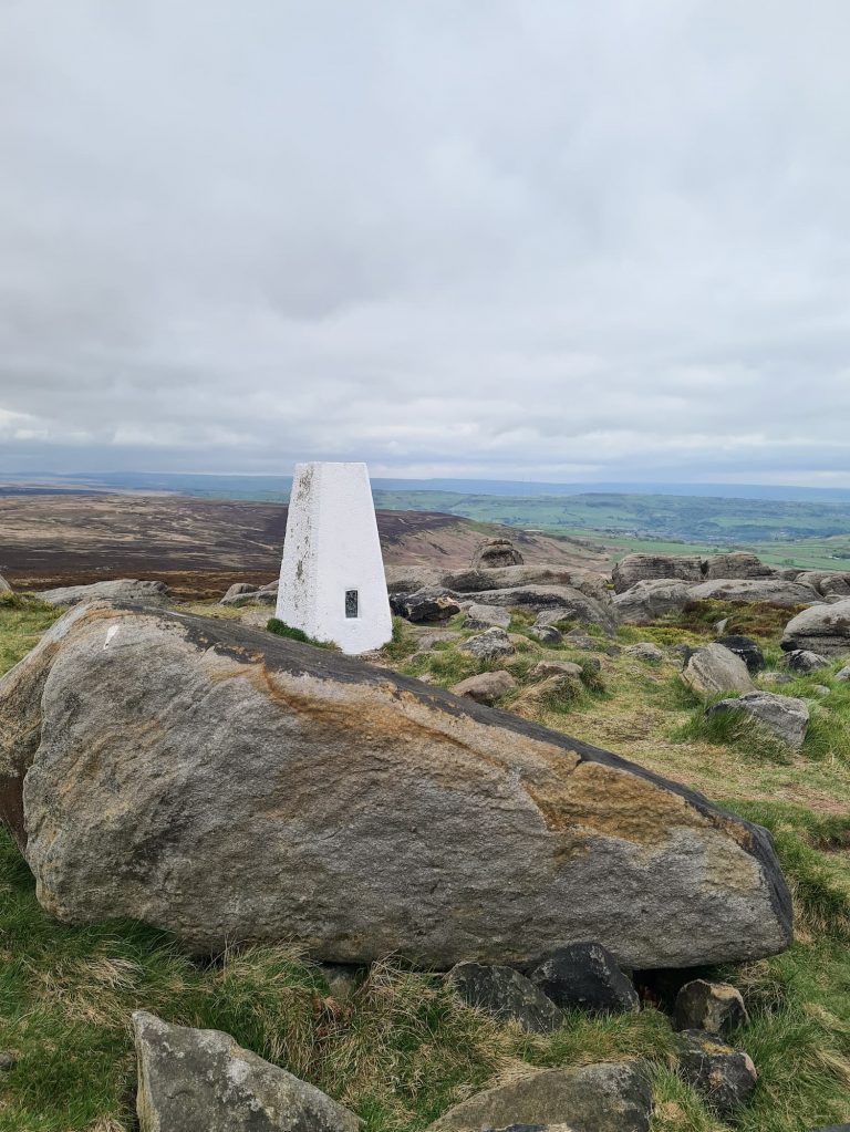
Black Hill – 4 Trig Points Walk – 23 miles, 1,180m ascent, remote moorland & summit views
Explore remote moors, bag 4 trig points and 5 Peak District Ethels. This route covers Black Hill, West Nab and some of the bleakest, wettest terrain in the Peak District.

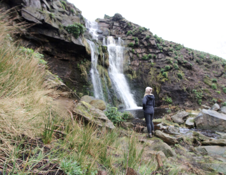
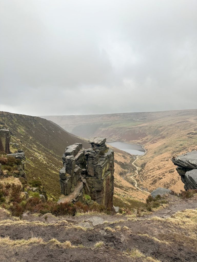
Dove Stone Reservoir Skyline Walk – 21 miles, 678m ascent, wild moors and quiet trails
A quieter moorland route above Dove Stone Reservoir. Highlights include Aldermans Hill, Saddleworth trig point, Rimmon Pit Clough, Birchen Clough, Ashway Moss, and Alphin Pike.
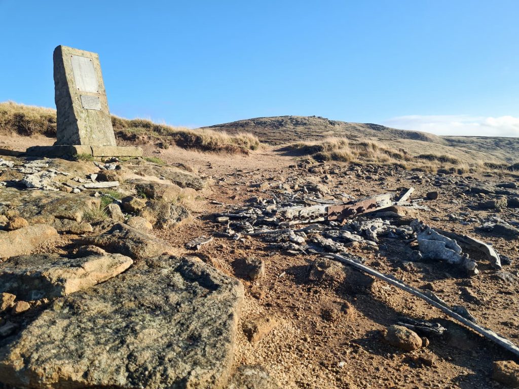
Bleaklow 3 Plane Crash Walk – 14.5 miles, 594m ascent, historic crash sites & rugged moorland
Rugged moorland walk starting in Glossop. Visit 3 plane crash sites, James’s Thorn, Higher Shelf Stones, Bleaklow Head, Featherbed Top, and Mill Hill while ticking off 4 Ethels.
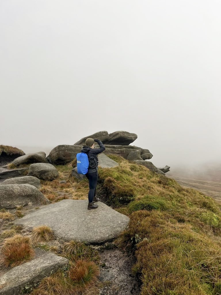
Kinder Scout Perimeter Walk – 16 miles, 640m ascent, plateau edge and optional Grindslow Knoll
Follow the plateau’s perimeter edge. Optional Grindslow Knoll extension adds extra challenge. Expect moorland views and sparse crowds. I can’t promise you’ll have these amazing views…
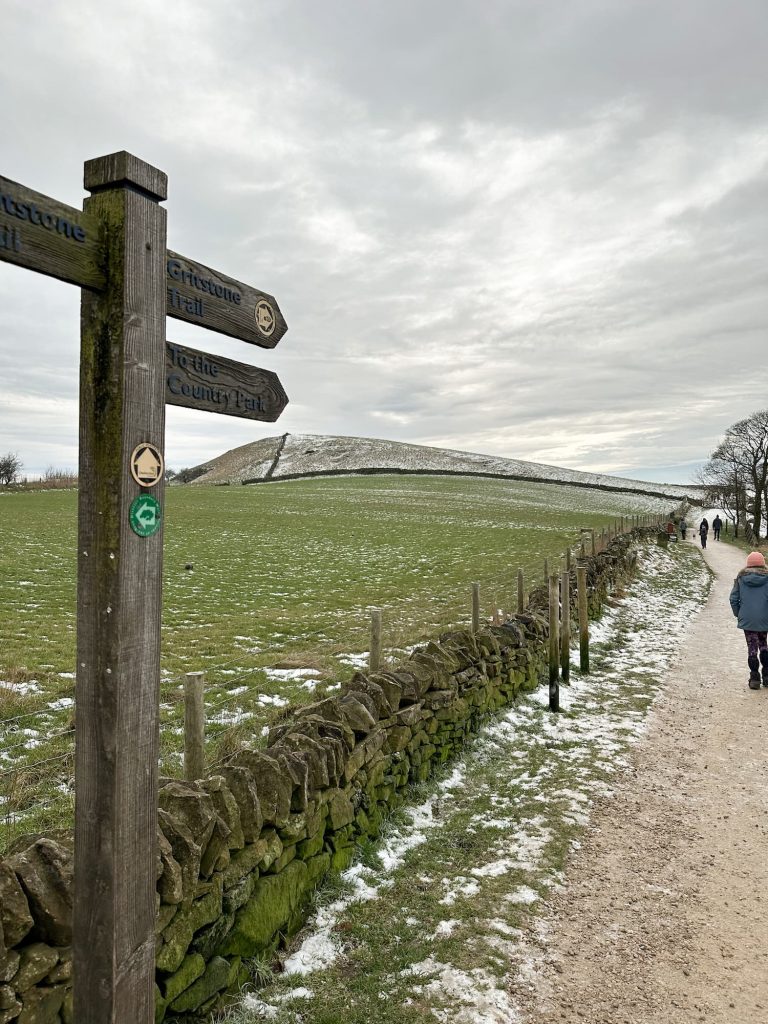
The Roaches and Hen Cloud Circular Walk – 17 miles, 784m ascent, trig points & Staffordshire moors
Explore Staffordshire moors, hitting 3 trig points and 5 Ethels. Full day of varied terrain and stunning ridge views.

Derbyshire 3 Peaks – 18 miles, 840m ascent, Kinder Scout, Bleaklow & Higher Shelf Stones
Visit Derbyshire’s highest peaks – Kinder Scout, Bleaklow, and Higher Shelf Stones. Includes a pub stop for a well-earned rest.

Derwent Valley Skyline Walk – 24.5 miles, 929m ascent, remote and challenging edge walking
One of the toughest Peak District walks, covering remote Derwent Edge. Requires stamina, navigation skills and a full day commitment.
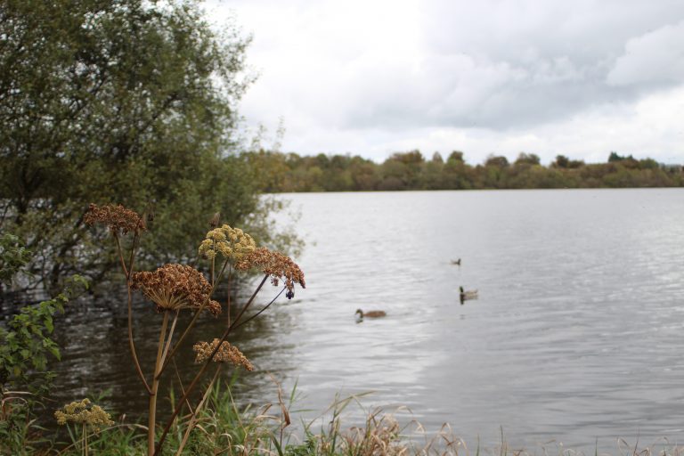
Holme Valley Circular Walk – 24 miles, 1,300m ascent, moorland and reservoirs
A long and challenging circular route, including Honley, Castle Hill, Thurstonland, Hepworth, and Digley Reservoir. Remote moorland and historic ruins add interest.
Fairholmes to the Grinah Stones – 17 miles, 762m ascent, remote moors & stone landmarks
A peaceful, remote moorland walk in the upper Derwent Valley. Tough terrain, boggy paths, and visits to Grinah Stones and Barrow Stones.

Minninglow and Stanton Moor – 17.7 miles, 625m ascent, Ethels challenge & historic trig points
Includes Minninglow, Bonsall Moor, Stanton Moor, and Harthill Moor. Great for the Ethels challenge and historic trig points.

Black Hill and Crowden – 16.5 miles, 853m ascent, Issue Clough & moorland ridges
Circular route from Holme Village via Issue Clough, Laddow Rocks, Westend Moss, and White Low. Tough climbs with rewarding panoramic views.

Mini Edale Skyline Walk – 17 miles, 838m ascent, 4 Ethels & 3 trig points
Takes in 4 Ethels (Lord’s Seat, Brown Knoll, Lose Hill, Mam Tor) and 3 trig points (Brown Knoll, Edale Moor, Mam Tor). Moderate to challenging.
Rishworth 5 Trigs Walk – 19 miles, 754m ascent, Rishworth Moors & rugged moorland
Starts in Marsden and traverses Rishworth Moors via 5 trig points: Cupwith Hill, Dog Hill, Blackstone Edge, White Hill, and Millstone Edge. Rugged terrain and moorland scenery.
Have you got a favourite long walk that’s not on here?
FAQ
Q1: What are Peak District Challenge Walks?
A: Long-distance hikes with rugged or boggy terrain, often exceeding 14 miles and requiring good navigation skills. These walks test stamina and are ideal for full-day adventures.
Q2: Are these walks suitable for beginners?
A: Most are best for experienced walkers. Some shorter or less technical routes, like Bleaklow 3 Plane Crash or Mini Edale Skyline, are moderately challenging and may suit fit beginners.
Q3: Do these walks require navigation skills?
A: Yes. Many challenge walks cross remote moorland and skyline routes where paths are less obvious. Maps, GPX or a compass are recommended.
Q4: What distances and climbs are typical?
A: Distances range from 14.5 to 24.5 miles, with climbs from 594m to 1,300m. Expect full-day hikes, or you might want to split them over a weekend.
Q5: When is the best time of year to do these walks?
A: Clear, dry days are ideal. Autumn and spring are popular, but winter walks are possible if the ground is frozen. Avoid boggy conditions without suitable footwear.
Q6: Are dogs allowed on these walks?
A: Most routes are dog-friendly, but some remote or protected areas may restrict access. Always check signage or the Natural England Open Access Maps before starting.