Wessenden Valley and West Nab | 6 Miles


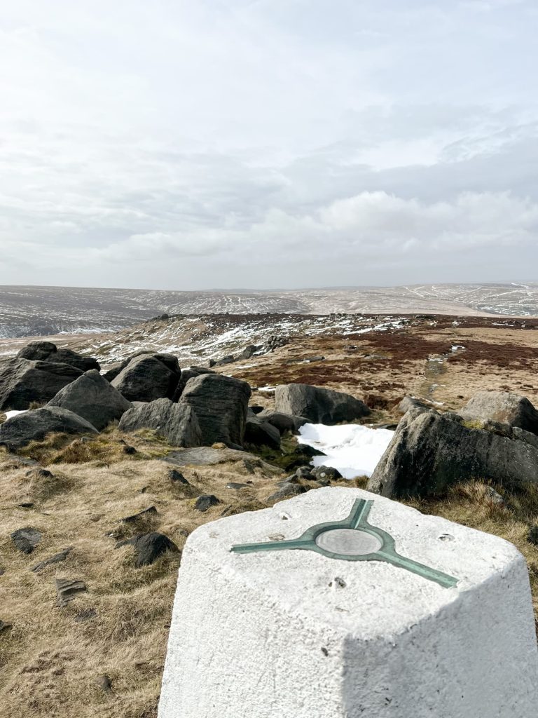
This Wessenden Valley walk explores the valley and visits some of the waterfalls before heading up to West Nab. At 500m above sea level it’s one of the higher peaks in the Peak District and has amazing views over the moors. This walk is 5.75 miles long.
The Wessenden Valley is tucked away at the north of the Peak District and is a spot which isn’t as busy as others but is definitely worth exploring. It’s a valley full of waterfalls, history and heritage and is home to some stunning reservoirs and scenery.
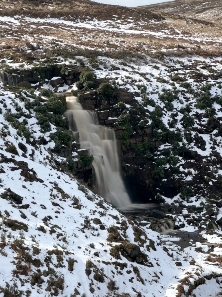
This walk wasn’t quite what I wanted it to be – I’d not taken into account the recent snow which was melting when we visited, and meant that the waterfalls were flowing fast. This is lovely, but my planned route crossed one of them and the stepping stones were submerged in freezing cold, fast flowing water. We had to divert but this is still a lovely walk.
West Nab is designated as a Site of Special Scientific Interest and dogs are excluded. There is a sign on the stile out onto the road warning you of this so if you are a dog owner, don’t take your dog. You can check out the Natural England Open Access Map for more details.
Our walk started in the car parking lay-by near the old quarry on Wessenden Head Road. This is a small, rough car park with space for 8-10 cars.
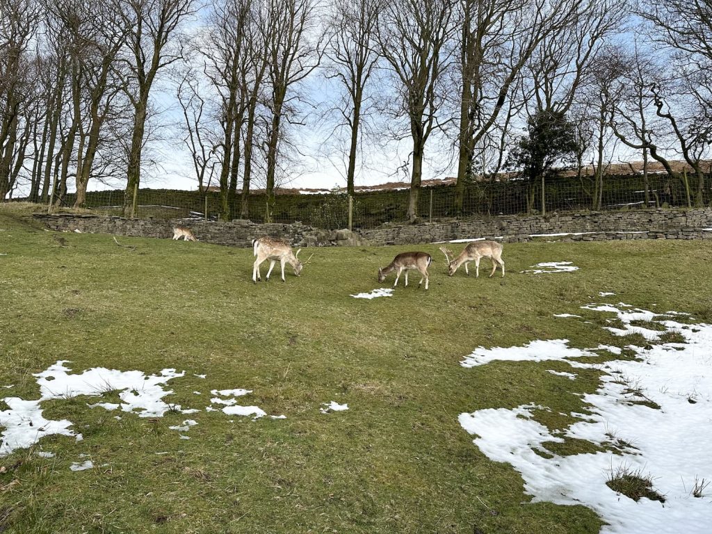
We crossed the road and headed down the track towards the reservoirs, passing the picture frame art installation Framing The Landscape. This is the route of the Pennine Way and the track is really easy going. It winds alongside the reservoirs, passing over cloughs and bridges before reaching the deer farm. On a good day the deer are out in the field and are a lovely sight.
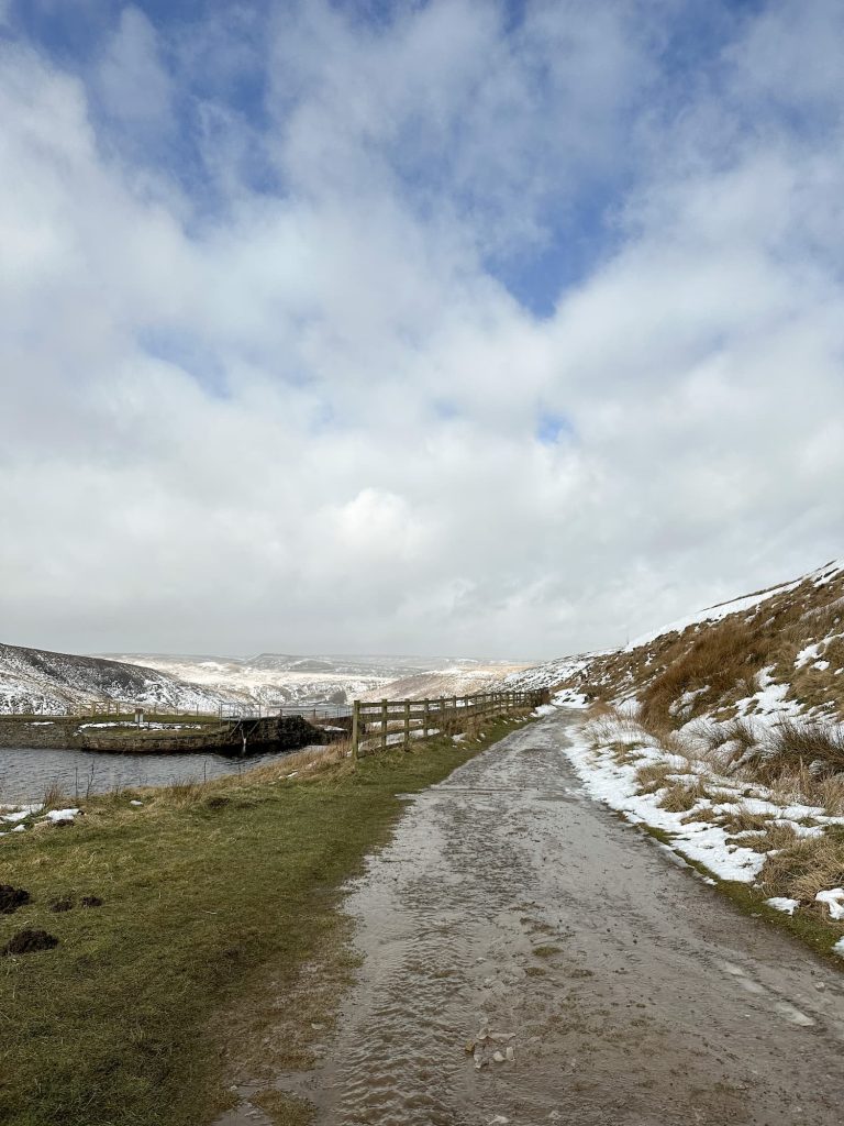


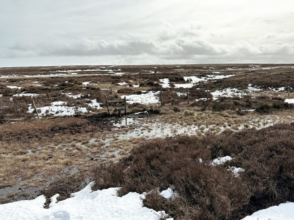
From the deer farm we crossed the dam wall at Wessenden Reservoir, before heading onto the moors to find the first waterfall. This is the one we had planned to cross, but the water was way too fast for us to attempt it. The path crosses the waterfall and continues to wind around the other side of the clough before dropping steeply down to the stream, and climbing back up onto the reservoir track.

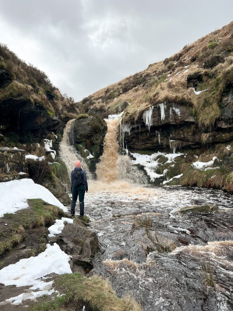
Because we couldn’t cross the waterfall we had to retrace our steps back to the deer farm and then take a short detour to have a look at the other large waterfall. After a quick cup of tea we headed back towards the deer farm and back up the reservoir track to the junction with Leyzing Clough.
There is a faint path up the hillside before you get to the wooden plank bridge, and a handy cairn showing you the right way as you climb up.

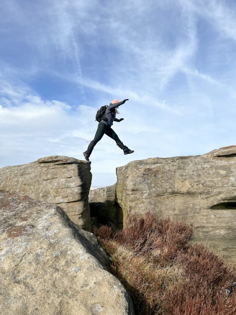
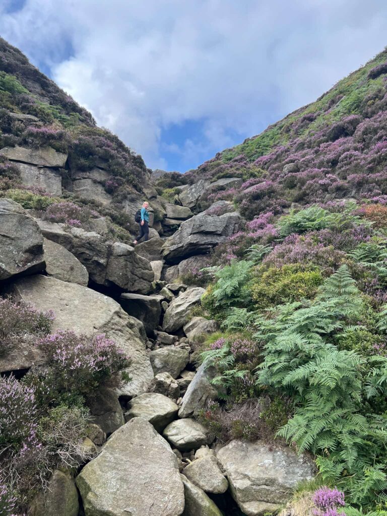
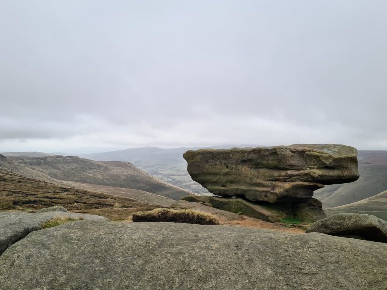
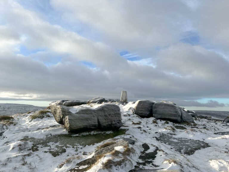
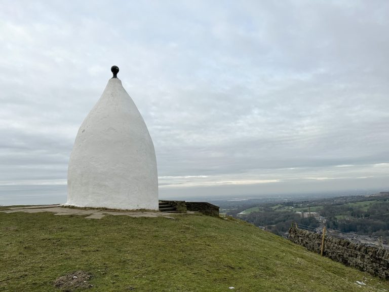
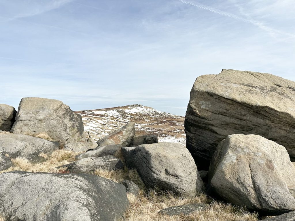
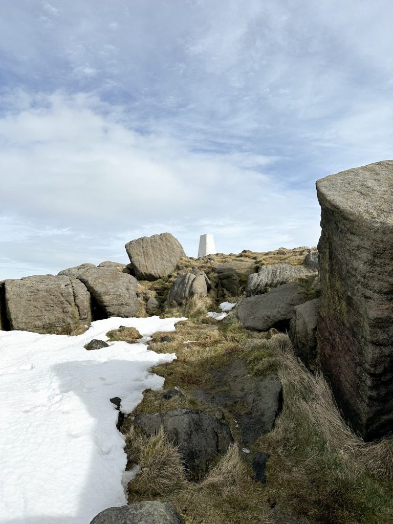
We tackled the steep climb up to Raven Rocks, then scrambled our way round to West Nab. There is a path running through the rocks which leads up to West Nab. West Nab is a mystical place which has a history steeped in folklore. There was a rocking stone here (which was removed as it was deemed unsafe). There are curious rock formations, including the Druid Stone which has three round indentations in, said to be seats for 3 priests to watch the sunrise before conducting a ritual. We use it as a seat to eat Haribo 🙂

As a note, Andy Hemingway of AHG Photography has some interesting information (and stunning photos of West Nab): “When viewed from Castle Hill, the peak of West Nab sweeps towards it’s twin peak of Shooter’s Nab, forming a saddle. It is thought that when the sun sets in the centre of this saddle (during February), that this could form the origin of Castle’s Hill’s tale of the Golden Cradle, reputed to be buried in the hill and protected by a sleeping dragon. In a letter to the Yorkshire Post during the 1930’s, historian and folklorist Philip Ahier referenced West Nab as a ‘Temple of the Sun’.”
Anyways, from the trig point at West Nab we headed down the hillside towards Wessenden Head Road. This involves passing through some vey wet bogs and climbing over a stile before picking your way through yet more bogs before reaching the road. It’s then a relatively short wander back along the road to the car park.
This is a great walk, with lots to see.
Wessenden Valley and West Nab Walk Route Map:

Walk Map (Opens in OS Maps): Wessenden Waterfalls and West Nab Walk
Parking: lay-by just off Wessenden Head Road
Dogs: Not allowed
Facilities: None
Walk Time: 2-3 hours
Difficulty: ▲▲
Trig Points Bagged: West Nab
Peak District Peaks Bagged: West Nab
Peak District Ethels Bagged: West Nab
You might also like