Holme to Black Hill Circular Walk | 7 Miles
Looking for a Black Hill walk in the Peak District? This 7.5 mile circular walk is from Holme to Black Hill and Blackpool Bridge and is one of the quieter walks in the Peak District. Here’s our Black Hill to Blackpool Bridge walk map and directions.

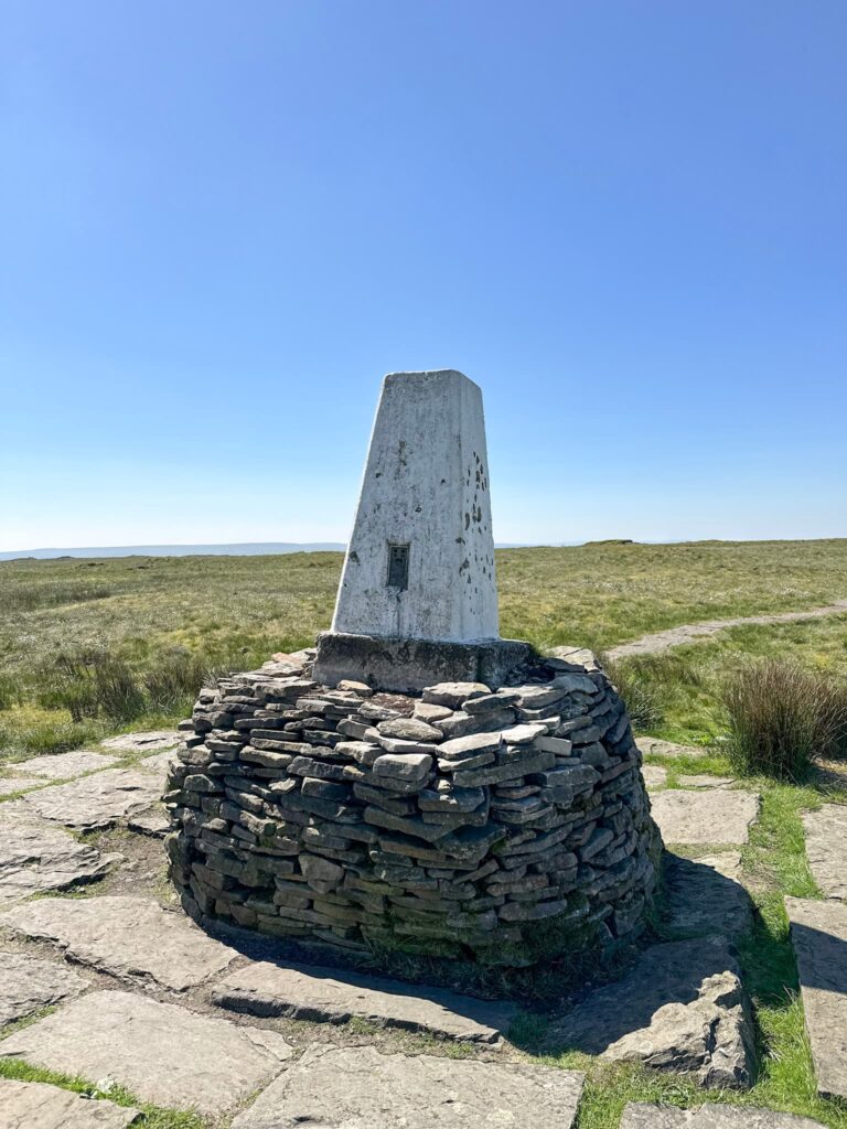
Our most local Peak District peak is Black Hill, Holmfirth. Black Hill (Soldier’s Lump) is the highest point in West Yorkshire, at 582m above sea level, and is the county top for West Yorkshire, the summit of which is marked with a trig point. Other than the trig point there isn’t much going on at the summit, which is quite a bleak place, but it does have amazing views over to Holme Moss and down to Holmfirth.
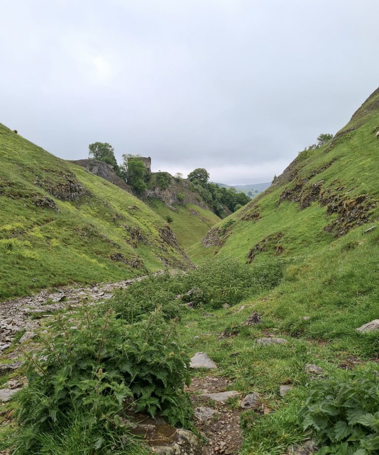
Blackpool Bridge is a crossing point over Marsden Clough. In the past this bridge was a grand stone affair, wide enough for a horse and carriage and having two arches, but nowadays it’s a much smaller, more modern bridge. Supposedly named after the dark pools of water where locals used to swim, rather than having a connection to the Lancashire seaside town, Blackpool Bridge is now a beautiful place to stop for a while while walking the Dark Peak moorland.
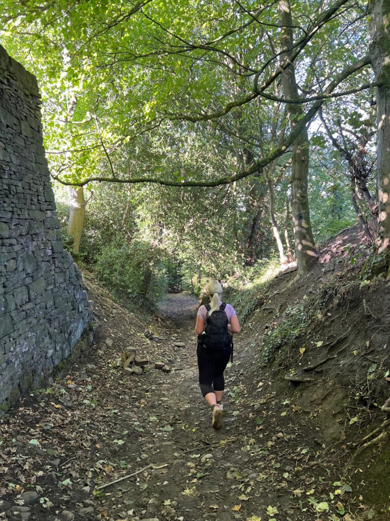
Our Black Hill walk starts in the pretty village of Holme, where there are some public toilets across from The Fleece pub. There’s also a phone box library, handy for Hols! We bought a sandwich from The Fleece Pantry and ate it before setting off along Meal Hill Lane, past the playground and Holme School on the left.
Heading up the hill the lane becomes Issues Road, a long, straight track. Be sure to follow the footpath signs carefully. Issues Road eventually becomes a muddy track which can be really boggy in places, so be sure to wear appropriate footwear.

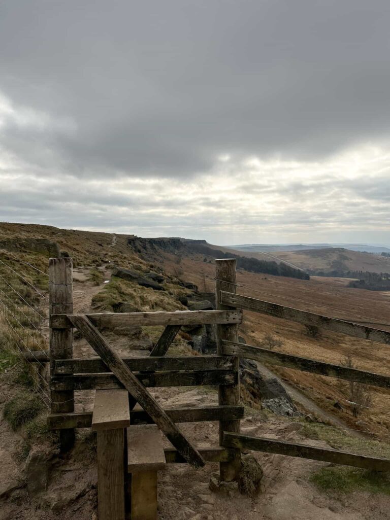
Follow this track for about a mile and there will be a fork in the track. Take the left hand fork and you’ll start to climb up Black Hill itself. There are some paved sections of the path, and it’s quite steep in places. You’ll join a path that is coming in from the right.
After about half a mile the path begins to level out and it’s a relatively flat wander to the trig point marking the summit of Black Hill. This trig is one of my favourites – I really like that it’s a bit wonky! From here there are paths going off towards Crowden, Holme Moss or over to Wessenden Moor but we retraced our steps back down Black Hill.


After roughly 0.8 miles we came to a sign warning about crossing Dean Clough. Follow the path as it forks to the left, along the Pennine Way. The path was quite wet when we did this walk, and some of the flagstones were submerged.
You’ll cross Black Dike and Reap Clough, which is quite a steep climb down to and back up from.
After about a quarter of a mile, you’ll see a faint path going off to the right (east) following the line of a broken old wall, marked by a small cairn. Follow this and you’ll pass through a wood (where the gate never seems to open!) with a stream in the bottom of it.

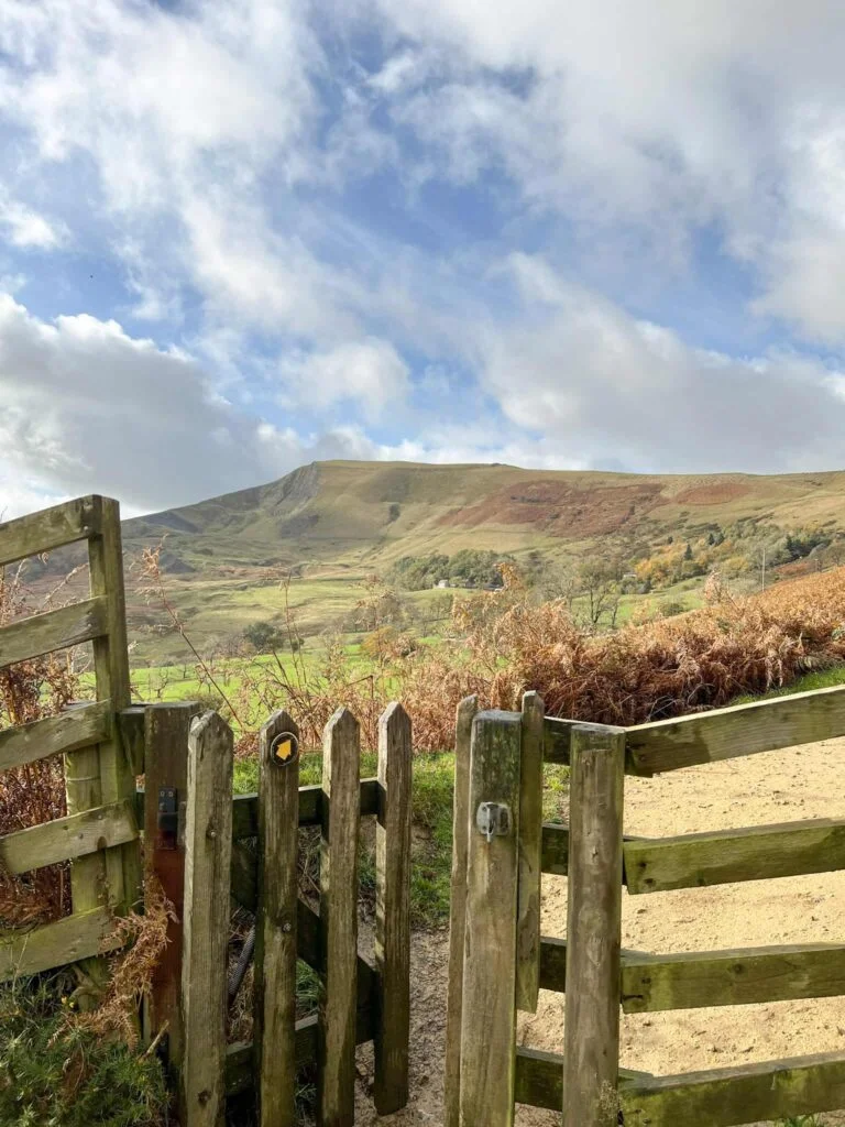
At the gate with the stile, where the road forks, take the right hand fork. Go over the stile near Goodbents Lodge to follow the footpath down the hillside to Blackpool Bridge. Here there are two rivers that meet and lots of small waterfalls. It’s a lovely place for a picnic stop (and a paddle on a warm day).


And just to prove it’s definitely a place to visit when it’s warmer, this is Blackpool Bridge in July. Beautiful! Just downstream of the bridge are a couple of pools just deep enough for a swim – the water isn’t the clearest though as it’s full of peat.


The walk continues up the hillside, past the abutments for the original bridge (which show the size of the original bridge compared to what’s there now!). The track follows the flank of the hillside and then takes you back to the fork in the road (where you came along Issues Road and turned left to climb Black Hill).

Turn back onto Issues Road and follow it back into Holme, and head to The Fleece for a well earned pint! Well, that’s what we did!
Black Hill Walk Route
Parking: On street in Holme village HD9 2QG
Facilities: Public toilets opposite The Fleece Inn and The Fleece Pantry sells sandwiches, drinks and snacks.
Walk Time: 3 hours
Difficulty: ▲▲▲
Distance: 7.8 miles (12.5km) approximately
Trig Points Bagged: Black Hill
Peak District Peaks Bagged: Black Hill
Peak District Ethels Bagged: Black Hill
Here’s the route – click the map to download the gpx file to your device. You can upload the gpx file into OS Maps too:
You can also check out some other Black Hill walks:
Holme Moss to Black Hill Trig Point
Holme to Black Hill to Crowden Circular Walk
Black Hill, West Nab and Blackpool Bridge
Black Hill Circular Walk, Holmfirth – Yorkshire Walks
Black Hill via Crowden Little Brook